Elevation of Tate Creek Rd, Frametown, WV, USA
Location: United States > West Virginia > Braxton County > Southern > Frametown >
Longitude: -80.910808
Latitude: 38.616331
Elevation: 300m / 984feet
Barometric Pressure: 98KPa
Elevation Map:
Satellite Map:
Related Photos:

St Thomas Catholic Church, Gassaway WV.

St Thomas Catholic Church, Gassaway WV.

Hawks Nest State Park

Hawks Nest State Park
Gassaway WV (26)

Awesome sky over Auburn this evening.
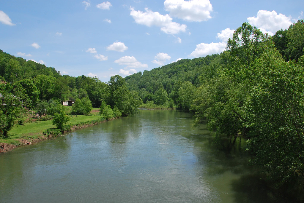
Glendon Shoals

Elk River Railroad Yards
Gassaway WV (25)
Duck, WV
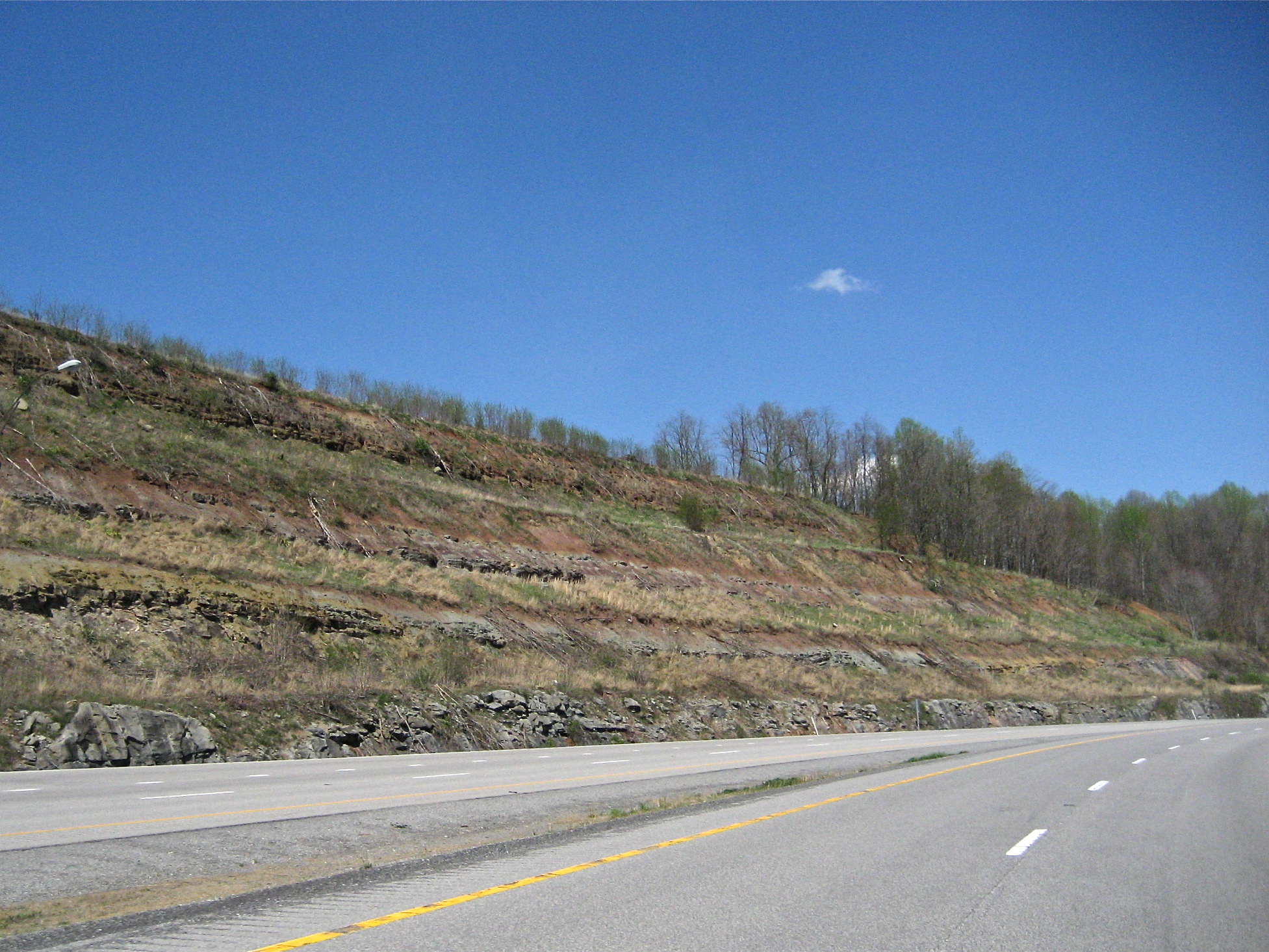
Red and Gray Shales and Limestones

Gassaway WV (19)

Gassaway Railyard
Duck, WV

Exit 40
Topographic Map of Tate Creek Rd, Frametown, WV, USA
Find elevation by address:

Places near Tate Creek Rd, Frametown, WV, USA:
40 Nottingham Store Rd, Duck, WV, USA
Duck
9894 Elk River Rd
316 Summit Ave
Sleith Fork Rd, Frametown, WV, USA
Frametown
Wilsie Rd, Frametown, WV, USA
Southern
Servia Road, Duck, WV, USA
Sears Rd, Chloe, WV, USA
Harrison
Burns Fork Road
Keener Ridge Rd, Hamilton, WV, USA
Big Otter Elementary School
Rosedale
1705 Middle Run Rd
Western
Gassaway
Ivydale
Widen-Dille Rd, Dille, WV, USA
Recent Searches:
- Elevation of Corso Fratelli Cairoli, 35, Macerata MC, Italy
- Elevation of Tallevast Rd, Sarasota, FL, USA
- Elevation of 4th St E, Sonoma, CA, USA
- Elevation of Black Hollow Rd, Pennsdale, PA, USA
- Elevation of Oakland Ave, Williamsport, PA, USA
- Elevation of Pedrógão Grande, Portugal
- Elevation of Klee Dr, Martinsburg, WV, USA
- Elevation of Via Roma, Pieranica CR, Italy
- Elevation of Tavkvetili Mountain, Georgia
- Elevation of Hartfords Bluff Cir, Mt Pleasant, SC, USA