Elevation of Sleith Fork Rd, Frametown, WV, USA
Location: United States > West Virginia > Braxton County > Southern > Frametown >
Longitude: -80.946622
Latitude: 38.651305
Elevation: 284m / 932feet
Barometric Pressure: 98KPa
Elevation Map:
Satellite Map:
Related Photos:

St Thomas Catholic Church, Gassaway WV.
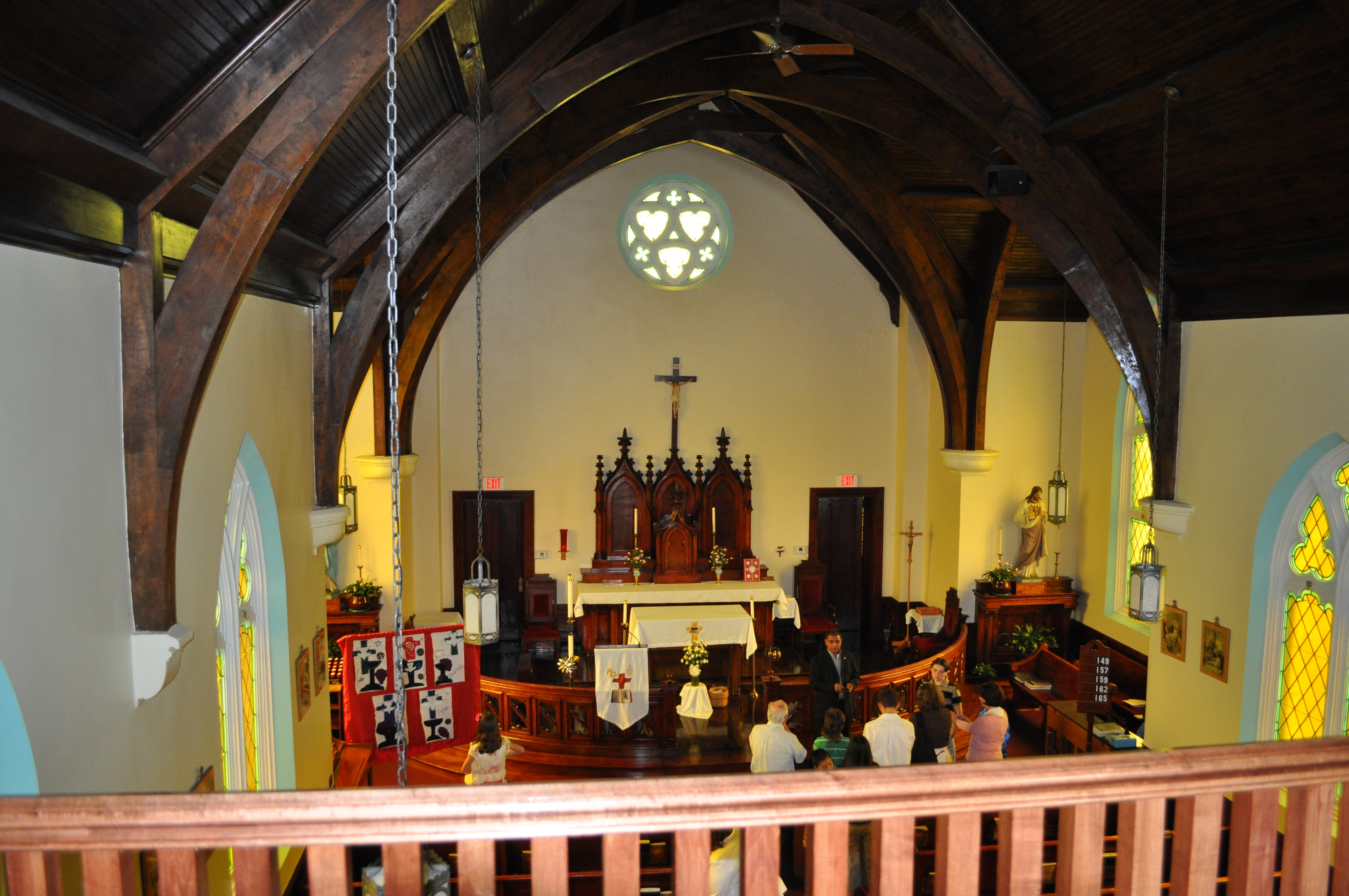
St Thomas Catholic Church, Gassaway WV.

Elk River Railroad Yards
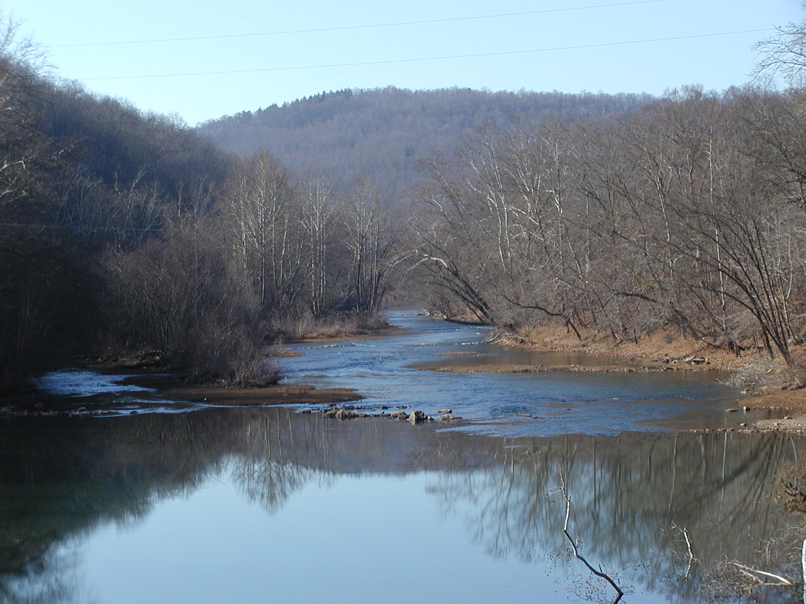
Glendon Shoals
Gassaway WV (25)

Gassaway WV (19)
Gassaway WV (26)

Awesome sky over Auburn this evening.
Duck, WV

Gassaway Railyard
Duck, WV

Exit 40
Topographic Map of Sleith Fork Rd, Frametown, WV, USA
Find elevation by address:

Places near Sleith Fork Rd, Frametown, WV, USA:
Servia Road, Duck, WV, USA
Tate Creek Rd, Frametown, WV, USA
Sears Rd, Chloe, WV, USA
Burns Fork Road
40 Nottingham Store Rd, Duck, WV, USA
Duck
Wilsie Rd, Frametown, WV, USA
316 Summit Ave
Rosedale
Frametown
9894 Elk River Rd
Big Otter Elementary School
Southern
Harrison
Ivydale
A
Western
Keener Ridge Rd, Hamilton, WV, USA
Redhouse Road
Center
Recent Searches:
- Elevation of Congressional Dr, Stevensville, MD, USA
- Elevation of Bellview Rd, McLean, VA, USA
- Elevation of Stage Island Rd, Chatham, MA, USA
- Elevation of Shibuya Scramble Crossing, 21 Udagawacho, Shibuya City, Tokyo -, Japan
- Elevation of Jadagoniai, Kaunas District Municipality, Lithuania
- Elevation of Pagonija rock, Kranto 7-oji g. 8"N, Kaunas, Lithuania
- Elevation of Co Rd 87, Jamestown, CO, USA
- Elevation of Tenjo, Cundinamarca, Colombia
- Elevation of Côte-des-Neiges, Montreal, QC H4A 3J6, Canada
- Elevation of Bobcat Dr, Helena, MT, USA