Elevation of Tarukan Primary School, STA. Ju;IANA, New Clark City, Capas, Tarlac, Philippines
Location: Philippines > Central Luzon > Tarlac > New Clark City >
Longitude: 120.457374
Latitude: 15.3507681
Elevation: 132m / 433feet
Barometric Pressure: 100KPa
Elevation Map:
Satellite Map:
Related Photos:
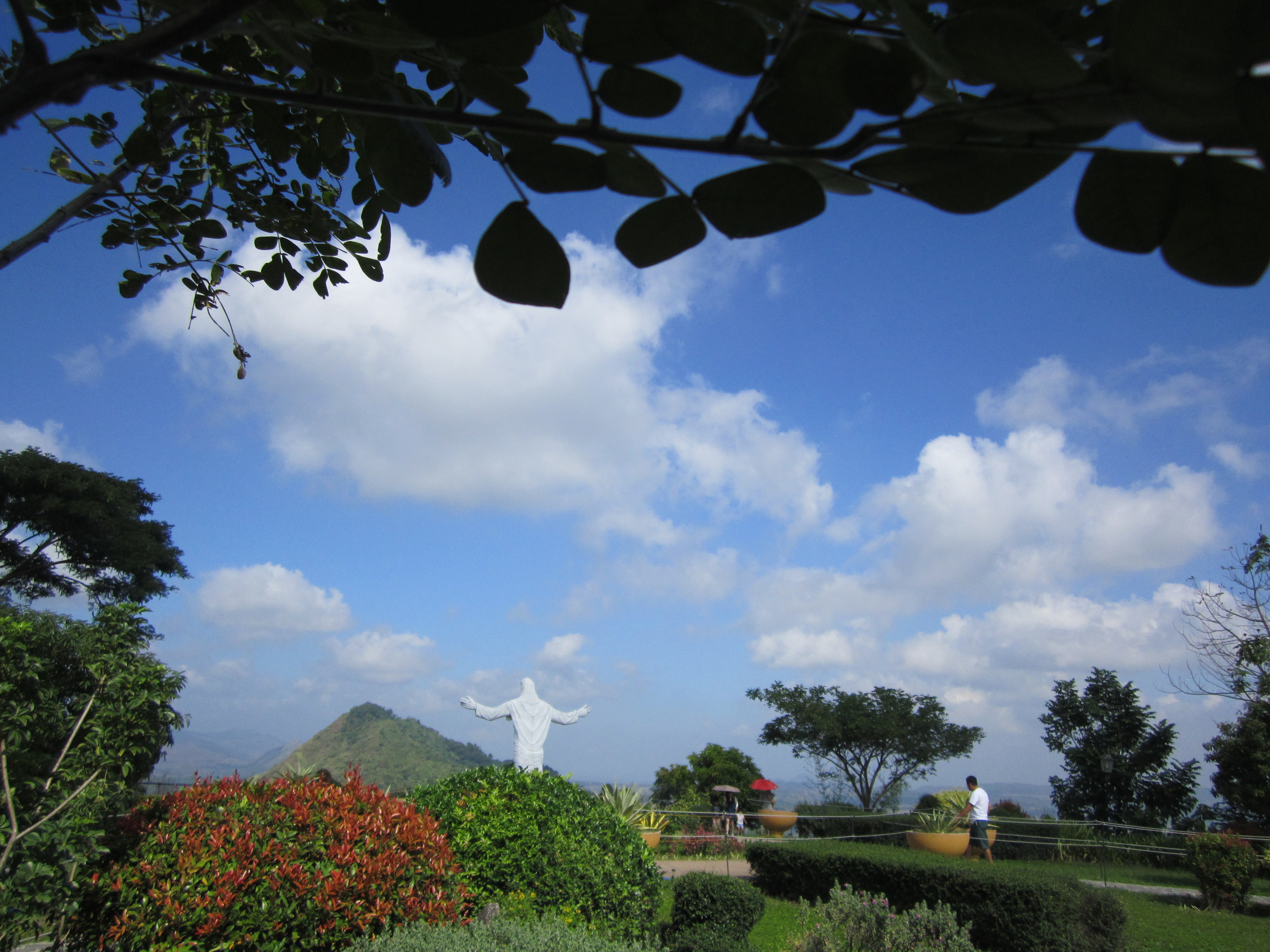
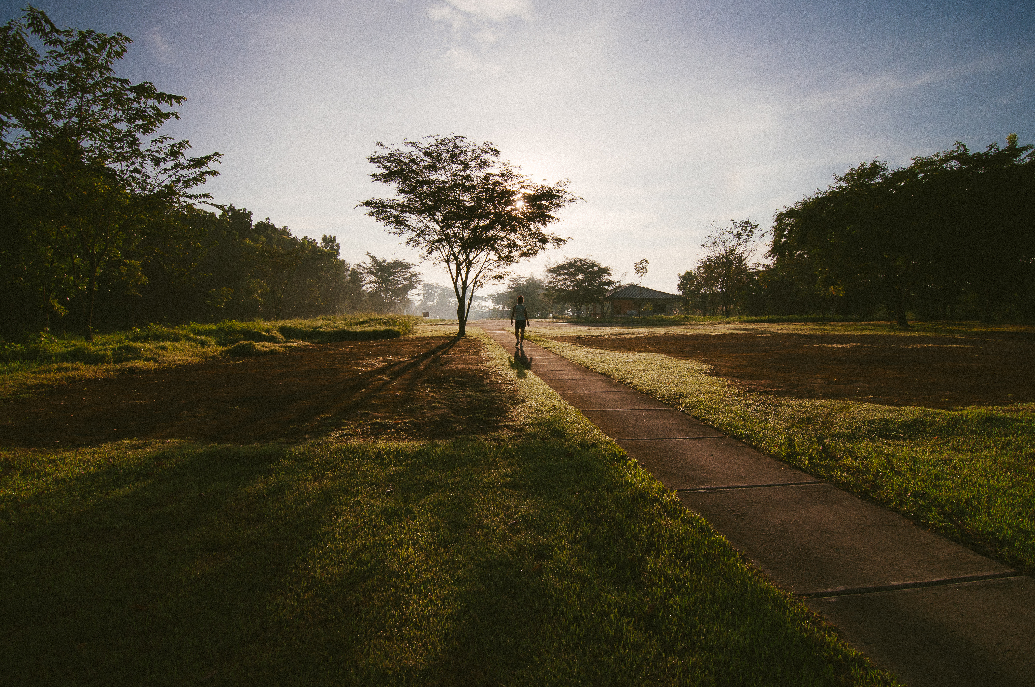
POINT OF VIEW
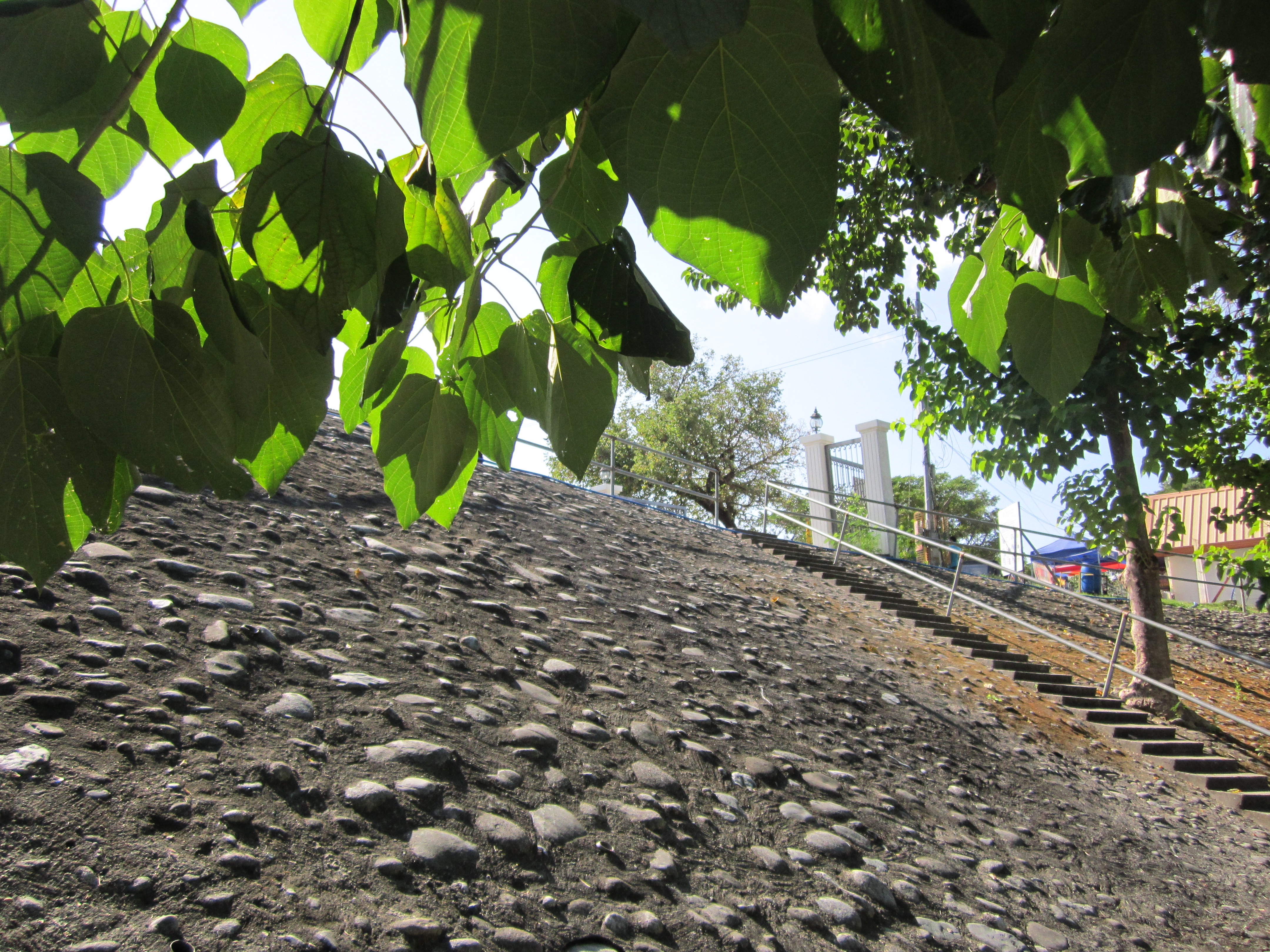
THE PAVEMENT
965.

Phlpn-4566--20190116

698.
Phlpn-4609--20190116

Phlpn-4633--20190116
Morning Routine

Phlpn-4681--20190116

Phlpn-4561--20190116

TJ and Shara

My Homeland

Phlpn-4560--20190116

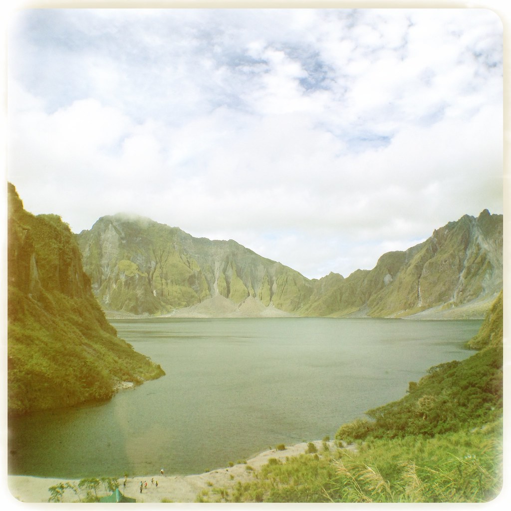
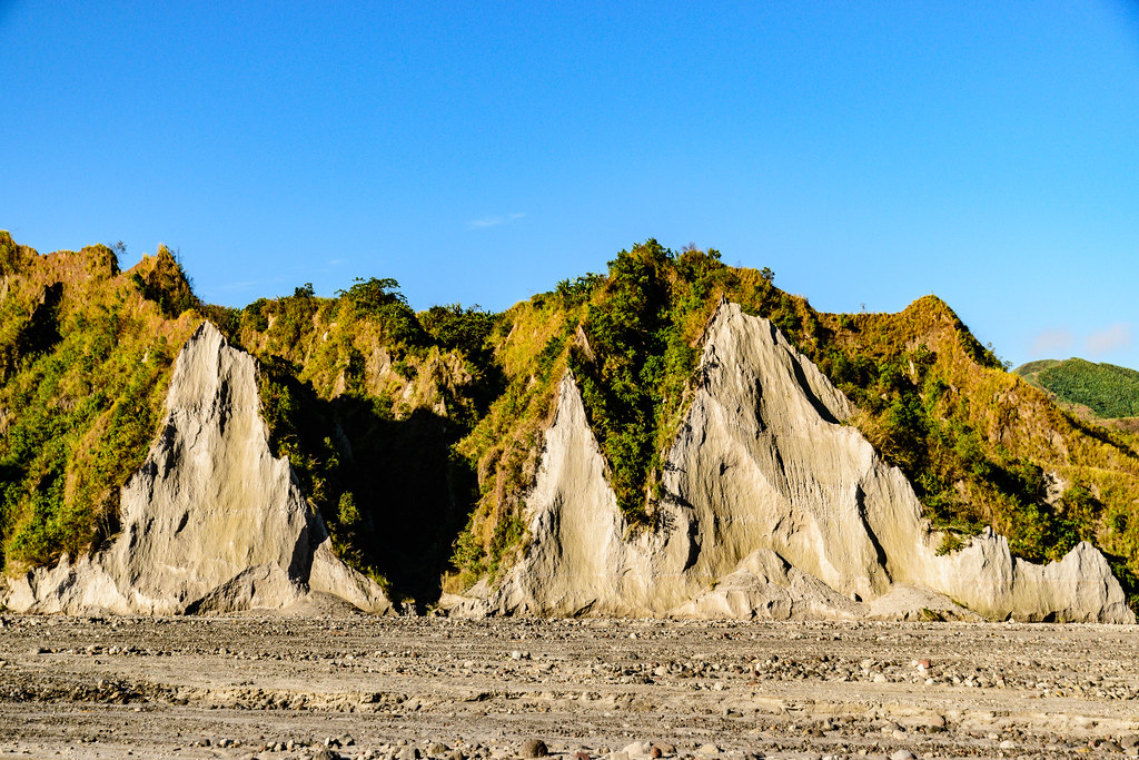
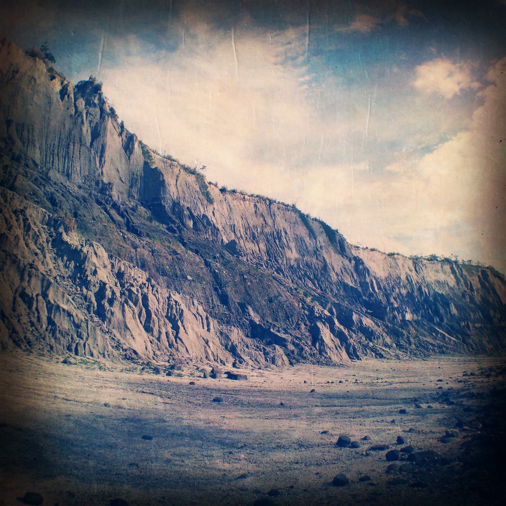
Le volcan Pinatubo
Phlpn-4655--20190116

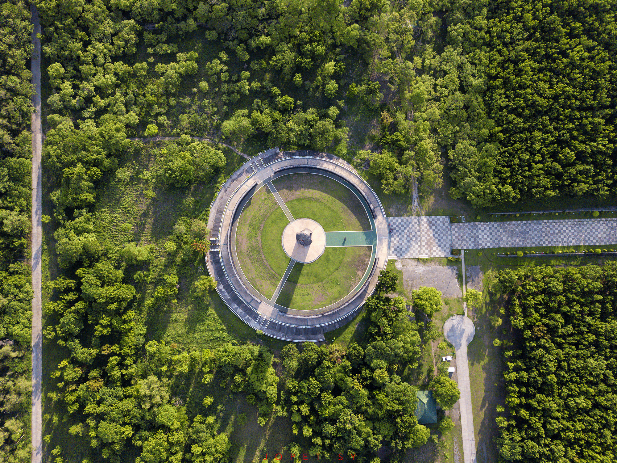
Nielsen Bridge

Phlpn-4611--20190116

lac Tambo au pied du Pinatubo (au fond à D)

Tayong Dalawa
ARMENIA, TARLAC | MAY 2018
820.

Phlpn-4557--20190116

Phlpn-4646--20190116
Topographic Map of Tarukan Primary School, STA. Ju;IANA, New Clark City, Capas, Tarlac, Philippines
Find elevation by address:

Places near Tarukan Primary School, STA. Ju;IANA, New Clark City, Capas, Tarlac, Philippines:
Santa Juliana
Bueno
New Clark City Sports Stadium
Clark Green City
Metro Clark Waste Management Corporation.
Capas National Shrine
Monasterio De Tarlac
Malasa Daycare Center
New Clark City
Tarlac
Holy Land
Bamban
Sto. Rosario Street
Capas
Alunan
Tarukan
Fiesta Communities Mabalacat
Dolores
Cacutud
Cacutud Elementary School
Recent Searches:
- Elevation of Carroll Creek Rd, Custer, SD, USA
- Elevation of Lust Road, Lust Rd, Florida, USA
- Elevation of Pleasant Valley Rd NW, Adairsville, GA, USA
- Elevation of Općina Šodolovci, Croatia
- Elevation of Šodolovci, Croatia
- Elevation of Old Clairton Rd, Jefferson Hills, PA, USA
- Elevation of st Ave SE, Lisbon, ND, USA
- Elevation of Steamboat Island Road Northwest, Olympia, WA, USA
- Elevation of Kootenai Trail Rd, Bonners Ferry, ID, USA
- Elevation of Hickory Blvd, Bonita Springs, FL, USA