Elevation of Santa Juliana, Tarukan, Capas, Tarlac, Philippines
Location: Philippines > Central Luzon > Tarlac > New Clark City >
Longitude: 120.428390
Latitude: 15.3272154
Elevation: 159m / 522feet
Barometric Pressure: 99KPa
Elevation Map:
Satellite Map:
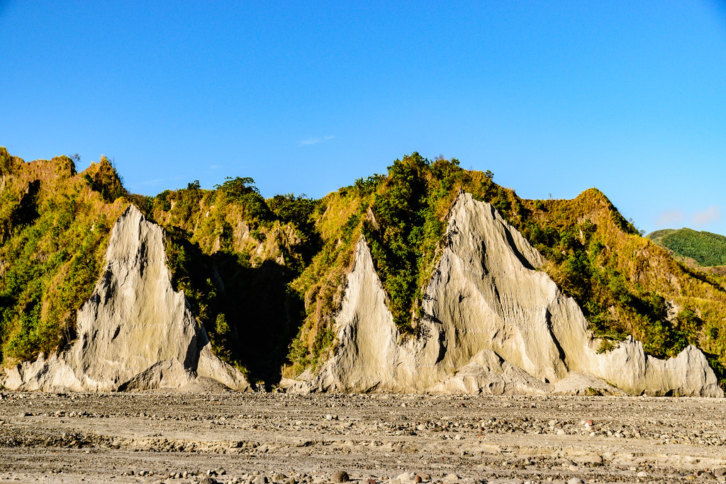
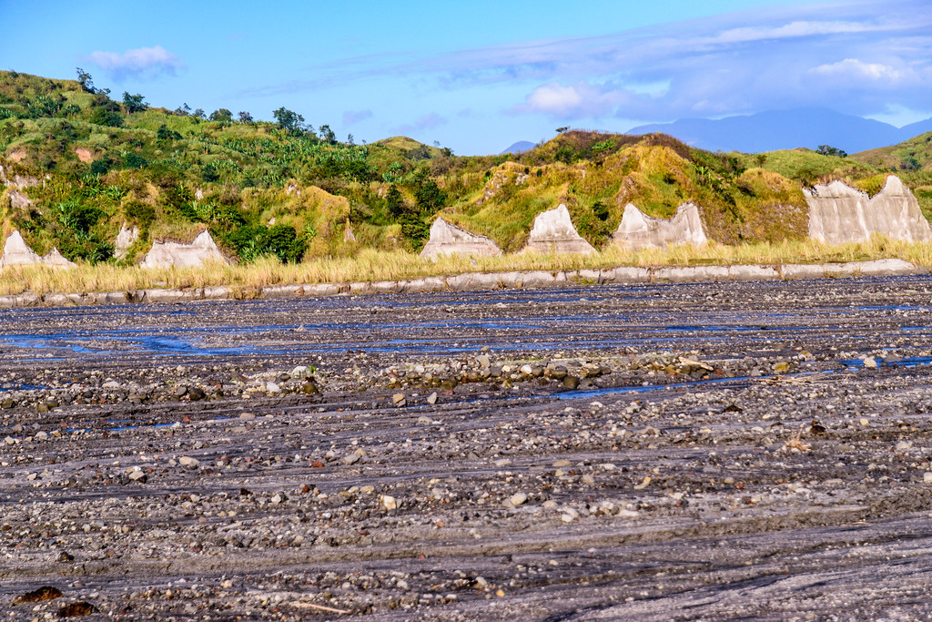
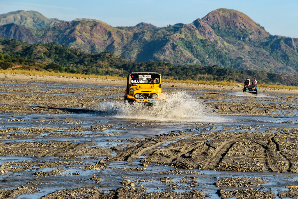
Related Photos:
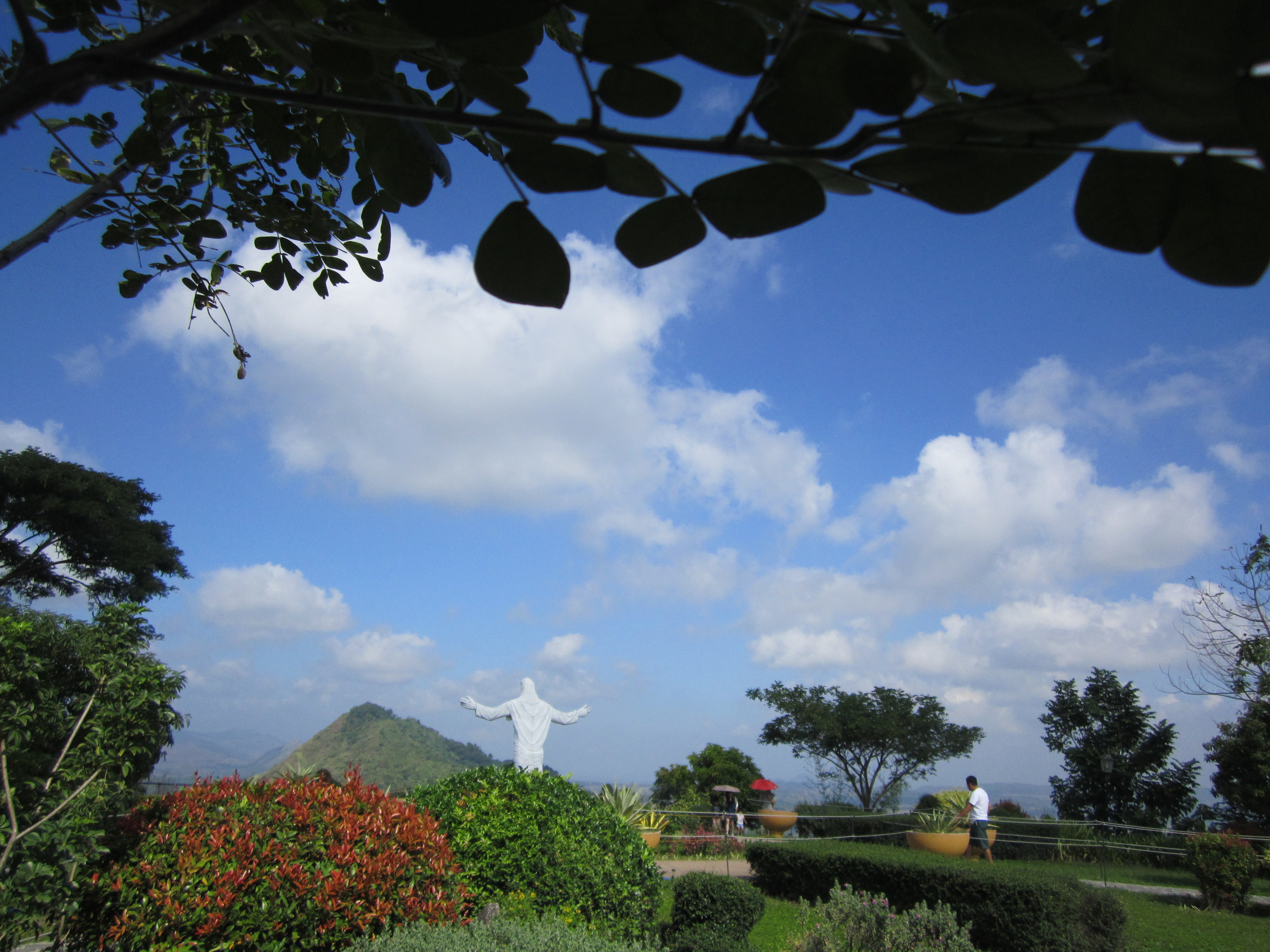
POINT OF VIEW
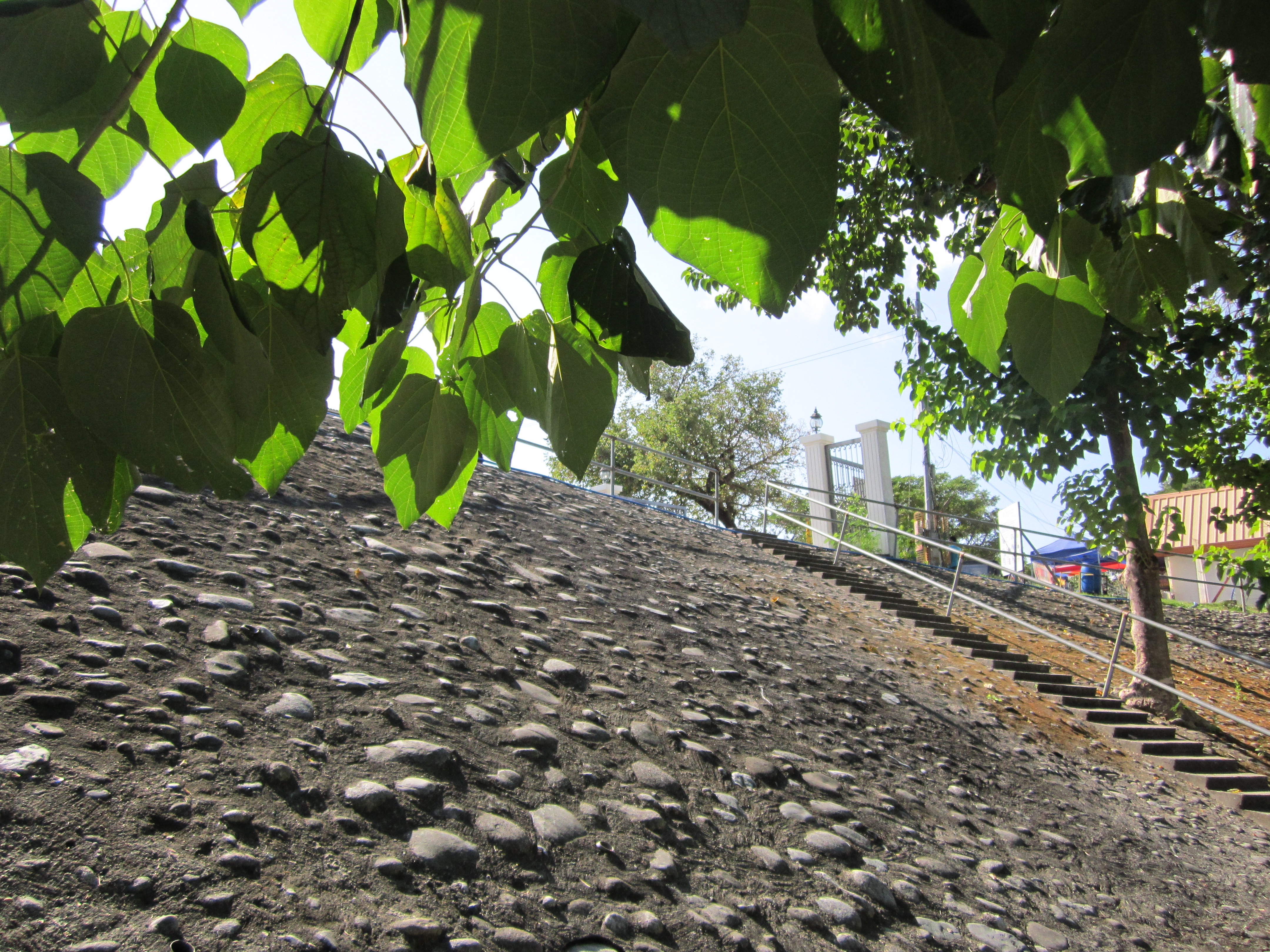
THE PAVEMENT

Phlpn-4566--20190116

Phlpn-4557--20190116
Phlpn-4609--20190116

Phlpn-4561--20190116

Phlpn-4633--20190116

Phlpn-4560--20190116

Phlpn-4681--20190116

Phlpn-4564--20190116
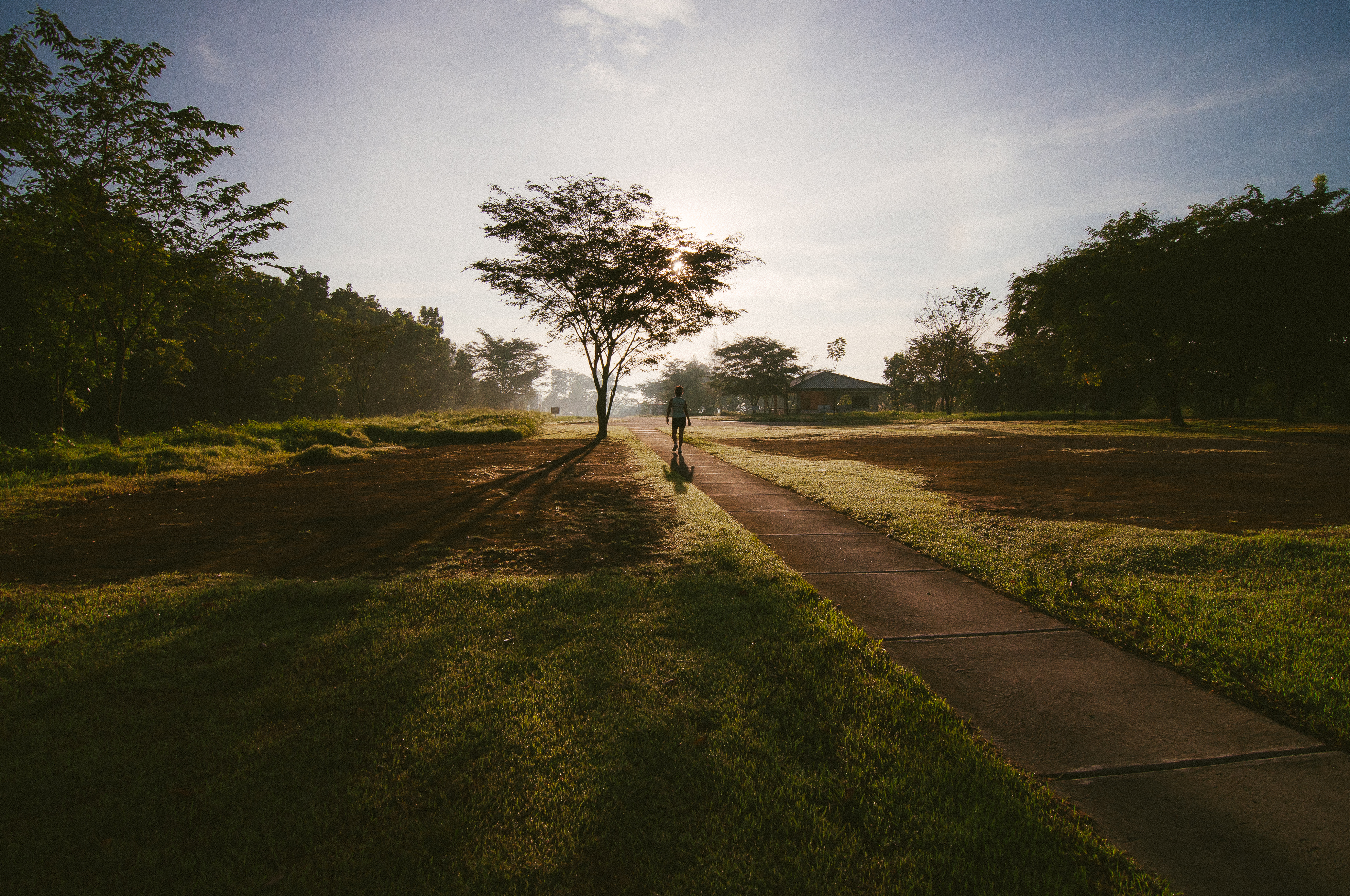
Morning Routine

Phlpn-4711--20190116

TJ and Shara
Phlpn-4655--20190116
Phlpn-4625--20190116

Phlpn-4568--20190116

Phlpn-4669--20190116

Phlpn-4646--20190116

Phlpn-4740--20190116

Phlpn-4688--20190116

Phlpn-4667--20190116
Phlpn-4610--20190116

Phlpn-4611--20190116
Topographic Map of Santa Juliana, Tarukan, Capas, Tarlac, Philippines
Find elevation by address:

Places near Santa Juliana, Tarukan, Capas, Tarlac, Philippines:
Tarukan Primary School
Bueno
Malasa Daycare Center
Metro Clark Waste Management Corporation.
Alunan
New Clark City
Tarukan
New Clark City Sports Stadium
Monasterio De Tarlac
Clark Green City
Holy Land
Capas National Shrine
Tarlac
Bamban
Aqua Planet (water Park)
Fiesta Communities Mabalacat
San Jose
Sto. Rosario Street
Capas
Dolores
Recent Searches:
- Elevation of Lalagbene, Bayelsa, Nigeria
- Elevation of Ogbosuware Health Centre, 2WWJ+4PJ, Lalagbene, Bayelsa, Nigeria
- Elevation of Duckhorn Ct, Las Vegas, NV, USA
- Elevation of Garretts Run Rd, Ford City, PA, USA
- Elevation of N WI-55, Freedom, WI, USA
- Elevation map of Hadiya, Ethiopia
- Elevation of Hosaina, Ethiopia
- Elevation of Verde Terrace, North Port, FL, USA
- Elevation of US-, Leesburg, FL, USA
- Elevation of Summit Dr, Kerrville, TX, USA