Elevation of Tangier, VA, USA
Location: United States > Virginia > Accomack County > >
Longitude: -75.991603
Latitude: 37.8262373
Elevation: 0m / 0feet
Barometric Pressure: 101KPa
Elevation Map:
Satellite Map:
Related Photos:
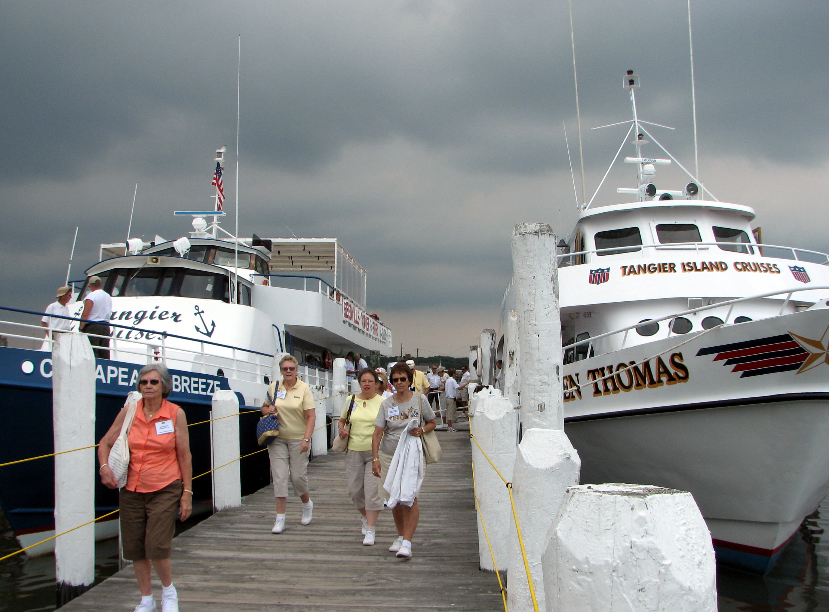
The Tourists Invade Tangier
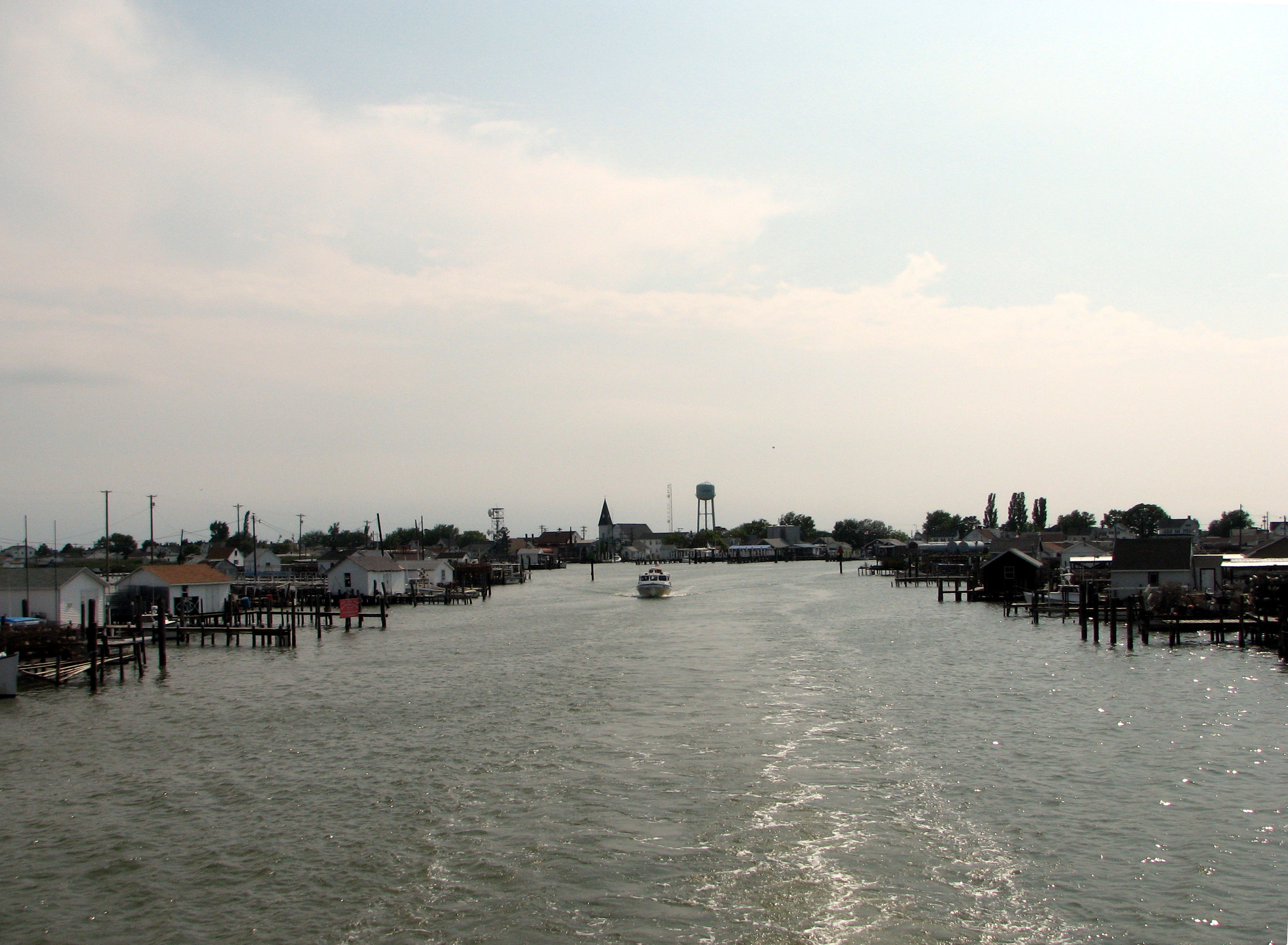
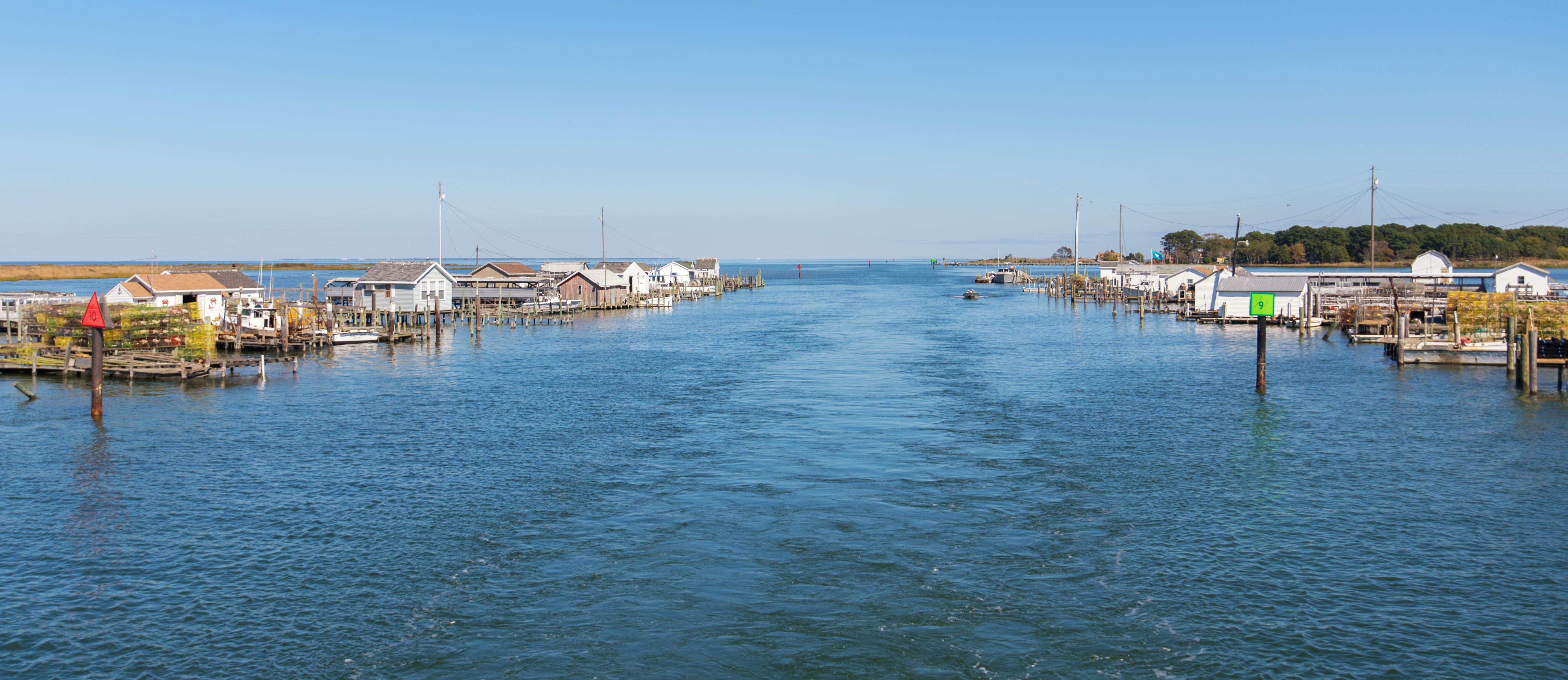
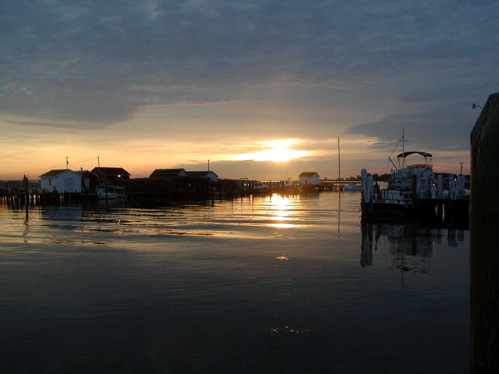
Tangier, Virginia
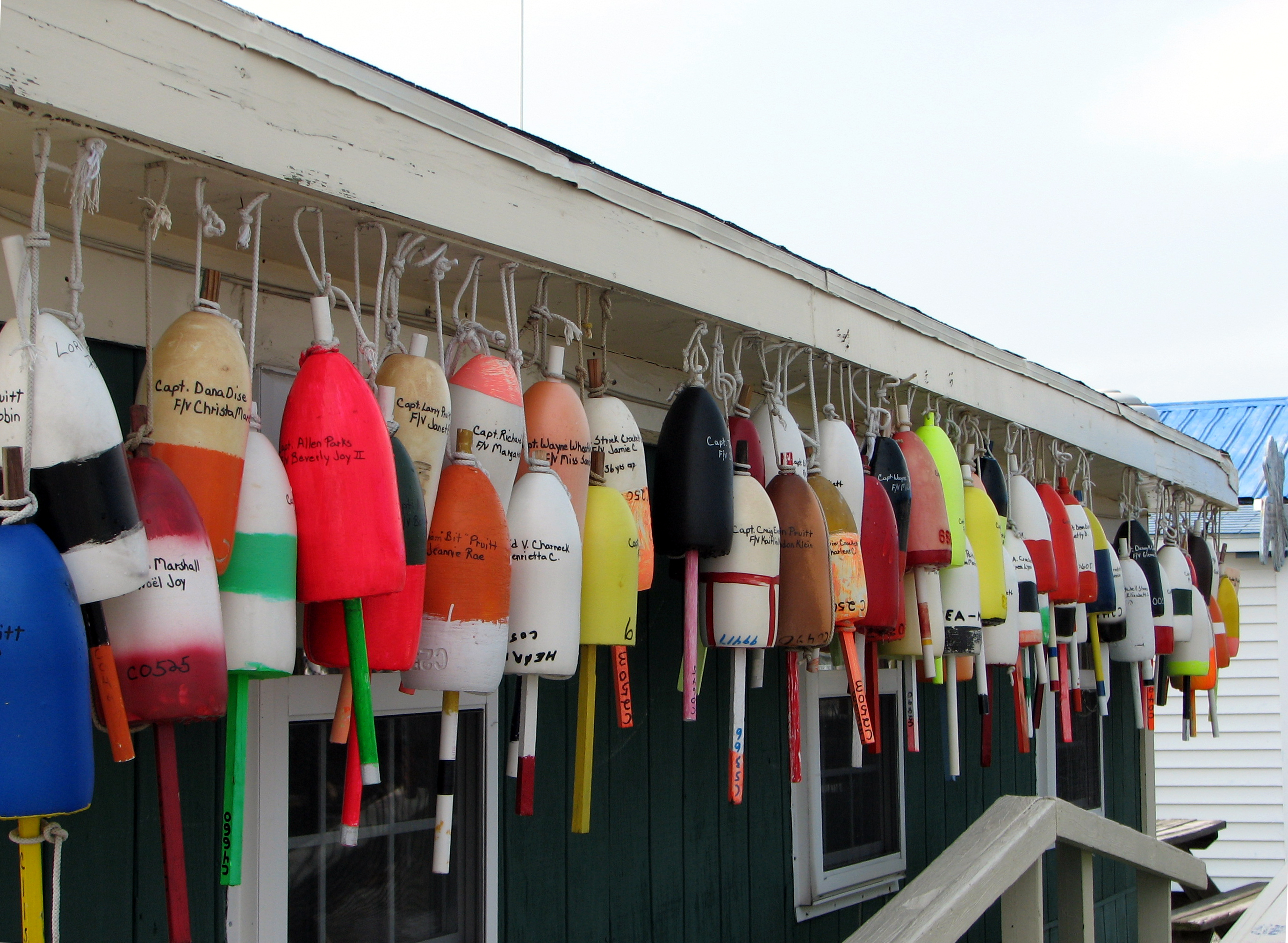
Crab Pot Floats, Tangier, Virginia
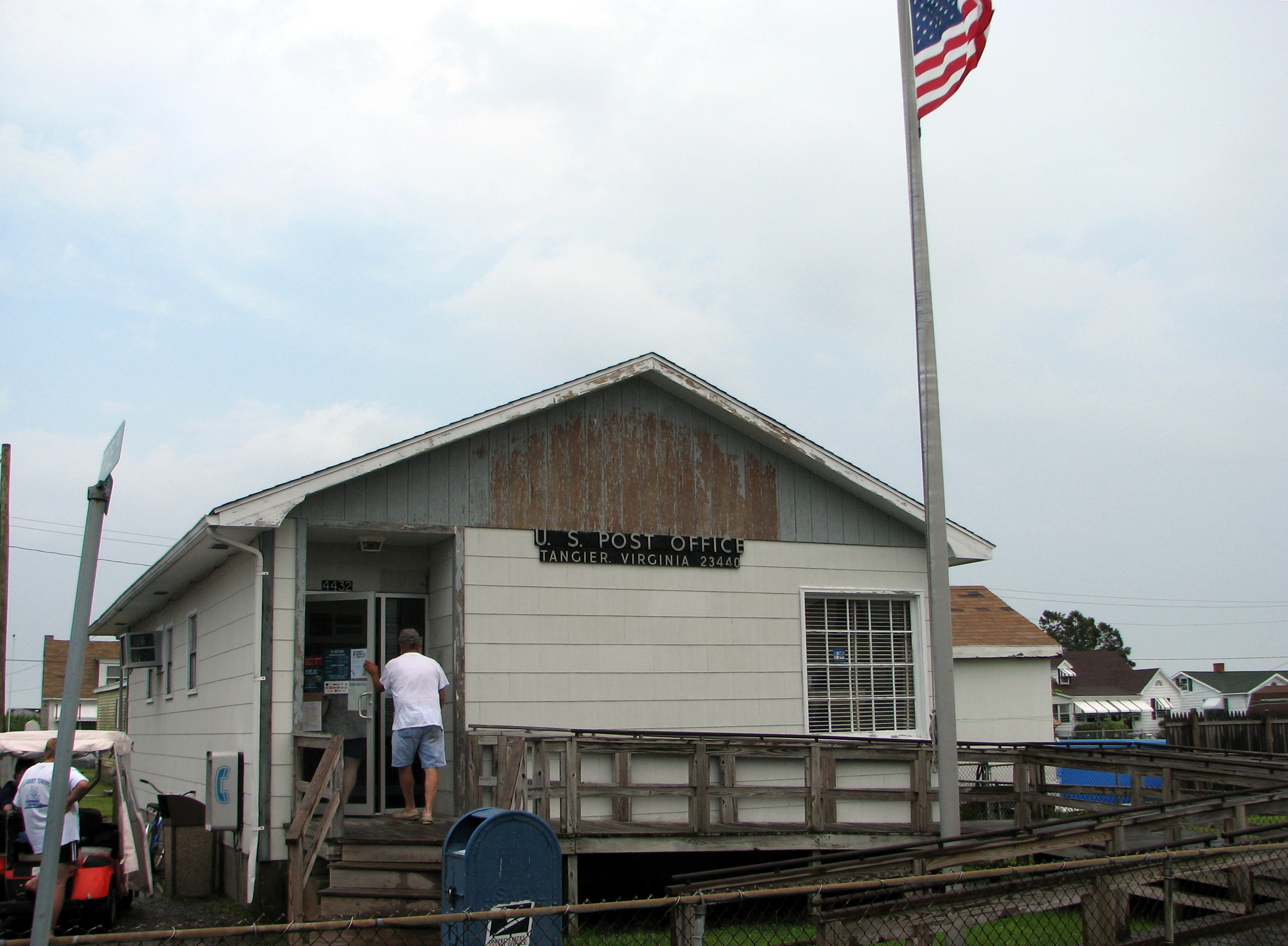
Post Office, Tangier, Virginia
Stilted crabbing shanties at Tangier Island, Virginia, 10-12-15

VIMS Living Shoreline

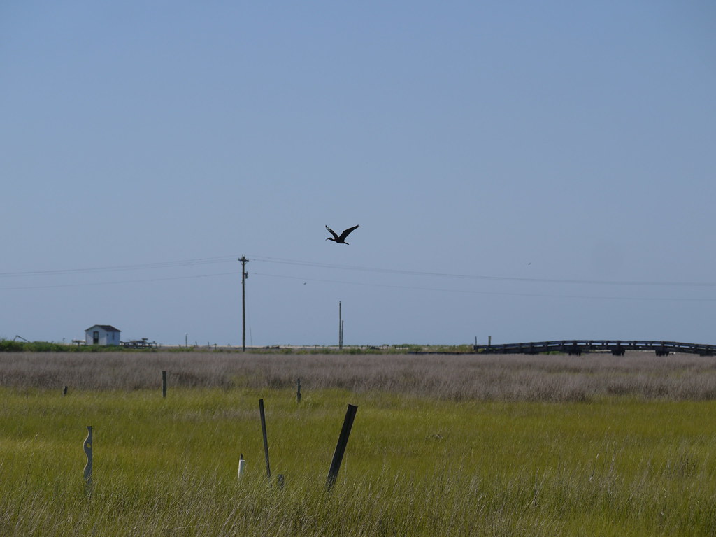
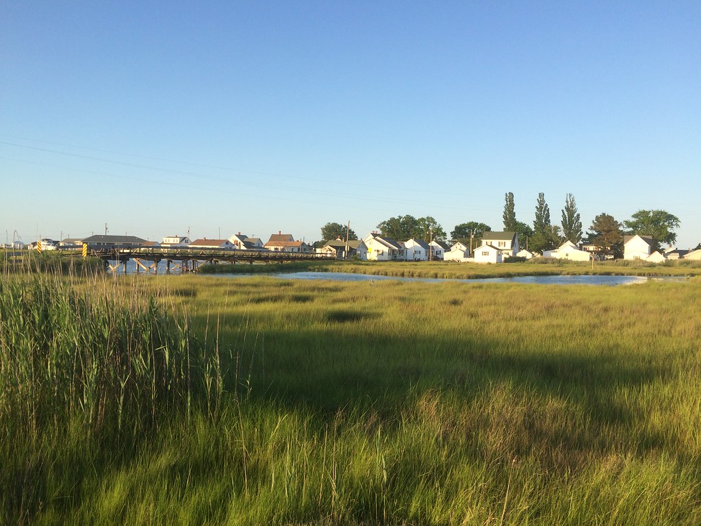
Wetlands 02

Port Isobel, Va.

Waterman working from boat, Port Isobel
Tangier Island

Abandoned boat in marsh grass, Tangier Island

Marsh grass at sunset, Tangier Island

Access and Rec 05
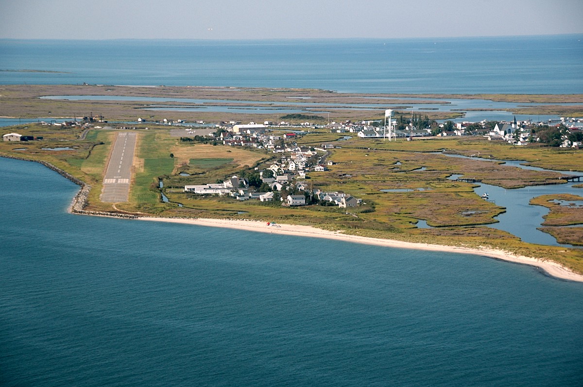
Runway 02, Tangier Island

VIMS Living Shoreline

Port Isobel, Va.

Wetlands 01

Shoreline erosion along island of Port Isobel 01

Port Isobel, Va.
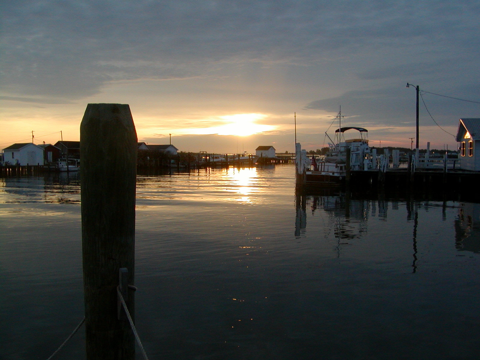
#2-Sunrise on Tangiers Island-2003
#1-Sunrise on Tangier's Island
tangier island

20100925-IMG_2376

Example of advanced shoreline erosion on a Chesapeake Bay island
Tangier, VA
Topographic Map of Tangier, VA, USA
Find elevation by address:

Places in Tangier, VA, USA:
Places near Tangier, VA, USA:
Main Ridge Road
Tangier Island
5, VA, USA
30 Tranquility Rd
Smith Point Rd, Reedville, VA, USA
2249 Lighthouse View Dr
1617 Fleeton Rd
243 Menhaden Rd
316 Main St
Reedville
55 Edwards Ln
160 Cockrells Creek View Dr
43 Locksley Ct
Fairport Rd, Reedville, VA, USA
Northumberland Hwy, Reedville, VA, USA
Reason Creek
4, VA, USA
Peaceful Way
Surprise Hill
Chesapeake Bay
Recent Searches:
- Elevation of Corso Fratelli Cairoli, 35, Macerata MC, Italy
- Elevation of Tallevast Rd, Sarasota, FL, USA
- Elevation of 4th St E, Sonoma, CA, USA
- Elevation of Black Hollow Rd, Pennsdale, PA, USA
- Elevation of Oakland Ave, Williamsport, PA, USA
- Elevation of Pedrógão Grande, Portugal
- Elevation of Klee Dr, Martinsburg, WV, USA
- Elevation of Via Roma, Pieranica CR, Italy
- Elevation of Tavkvetili Mountain, Georgia
- Elevation of Hartfords Bluff Cir, Mt Pleasant, SC, USA