Elevation of Tampa Ave, Clewiston, FL, USA
Location: United States > Florida > Hendry County > Clewiston >
Longitude: -81.231616
Latitude: 26.700773
Elevation: 8m / 26feet
Barometric Pressure: 101KPa
Elevation Map:
Satellite Map:
Related Photos:
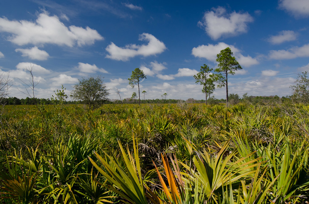
Panther Ecoscape
Cladium jamaicense, Sawgrass
Devil's Garden, Hendry County, Florida
IMG_0267.JPG
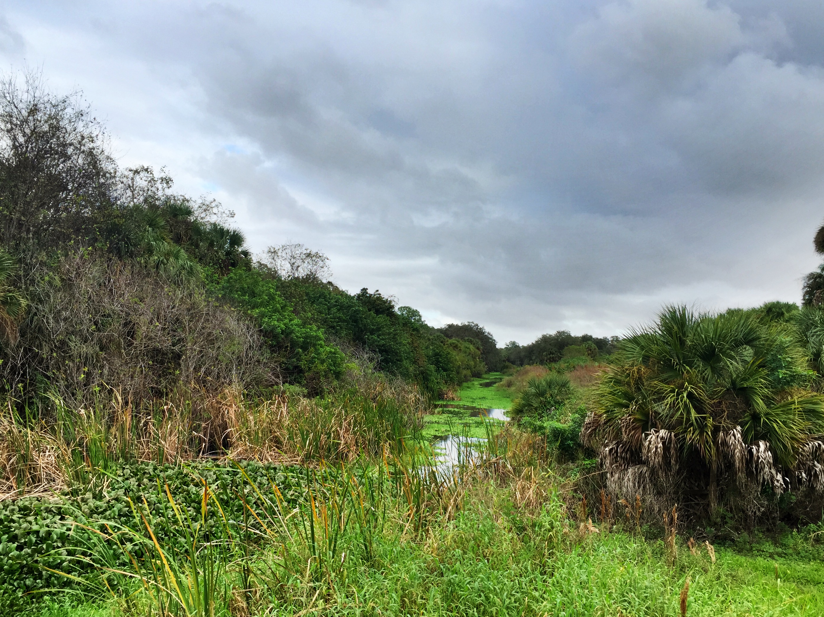
Devil's Garden, Hendry County, Florida
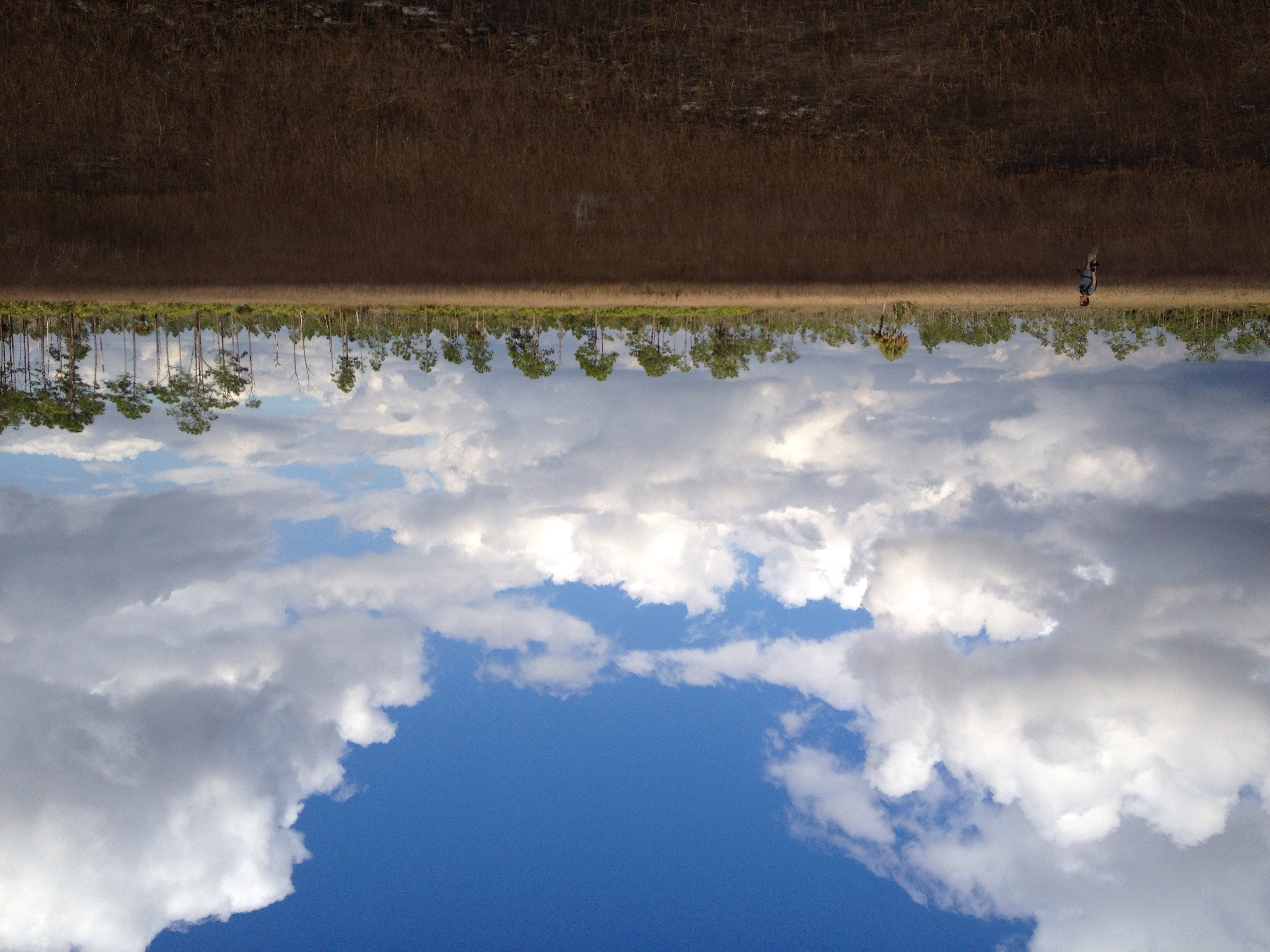
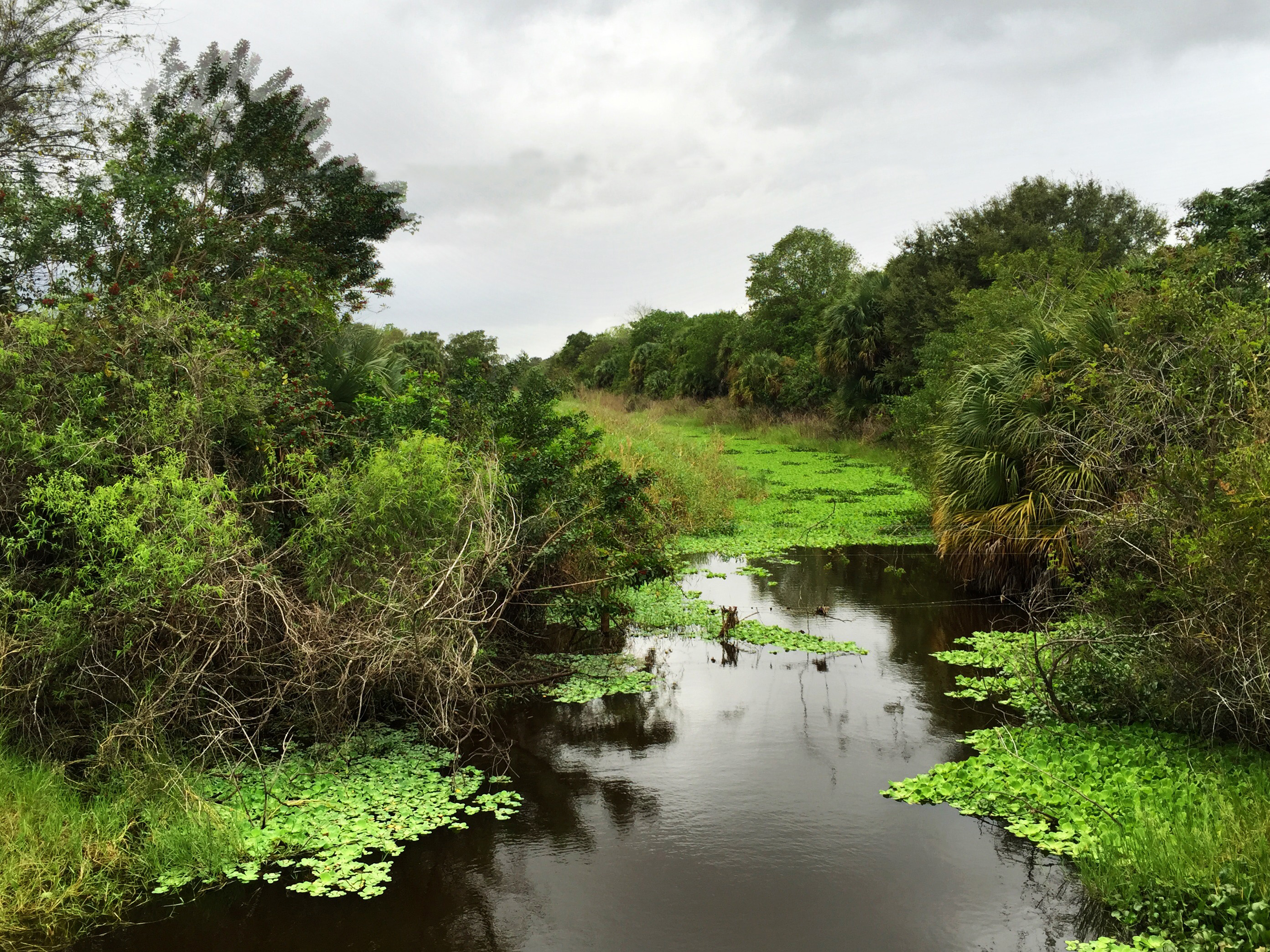
Okaloacoochee Slough State Forest
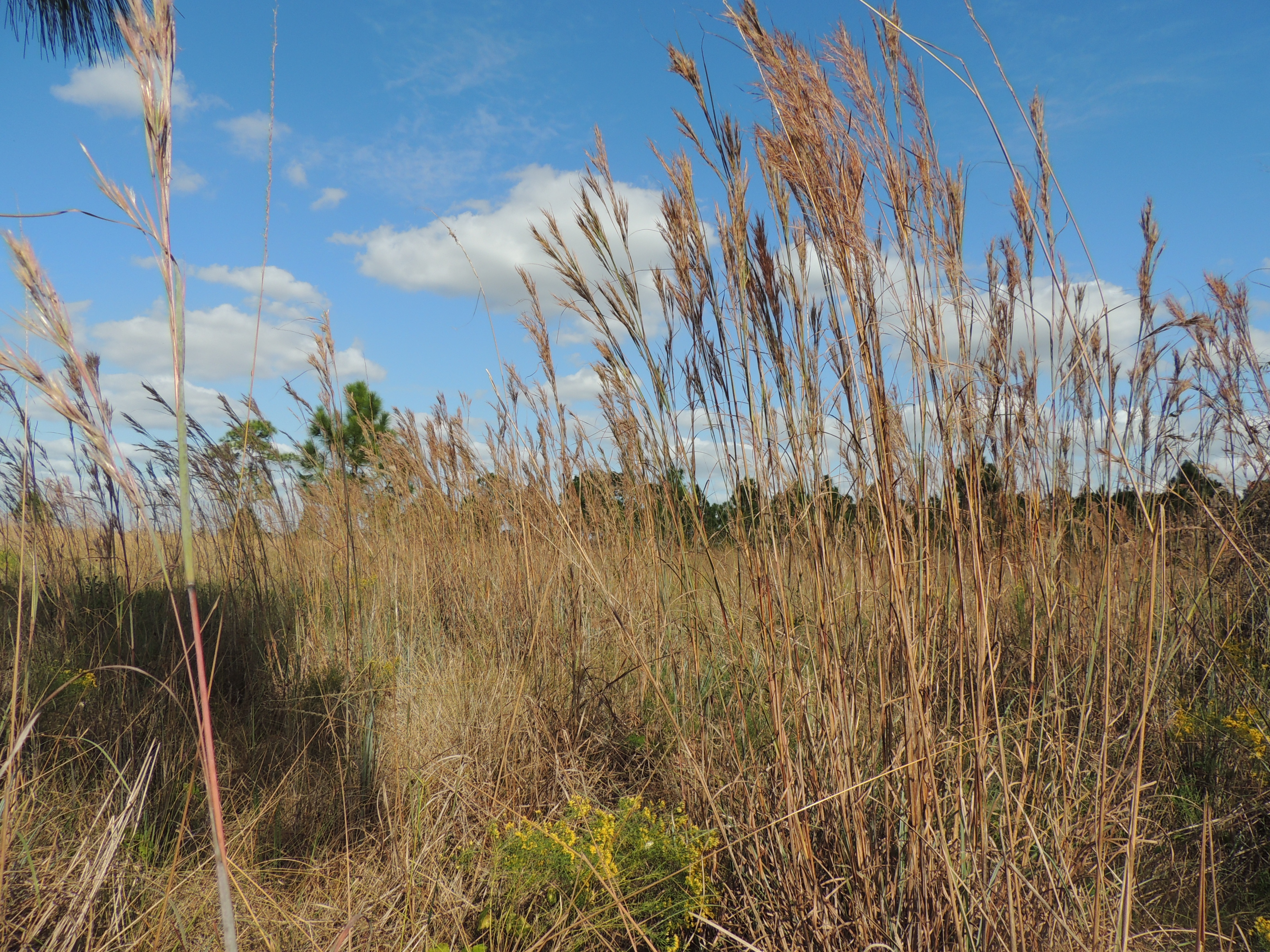
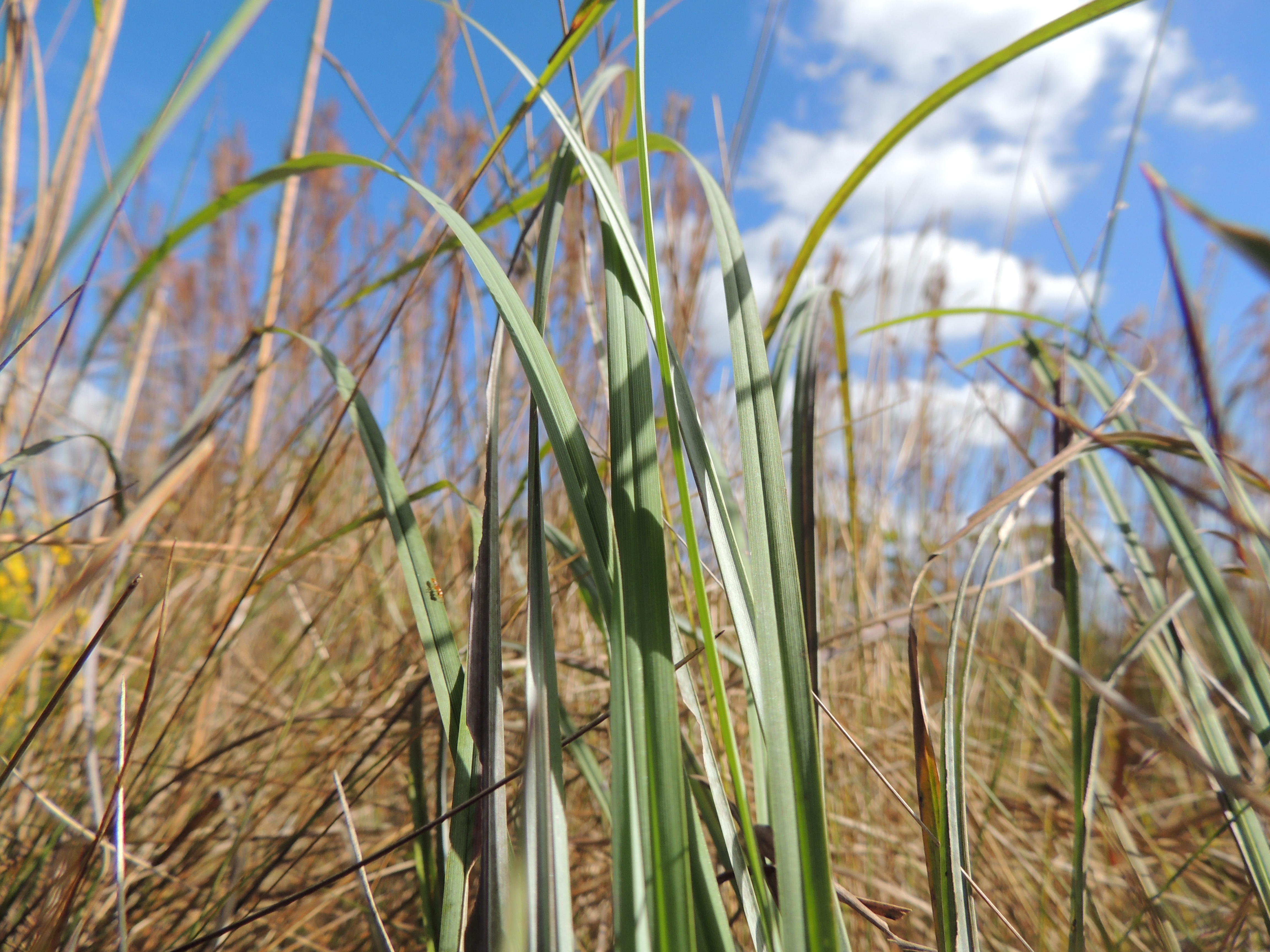
Andropogon glomeratus, Broom Sedge
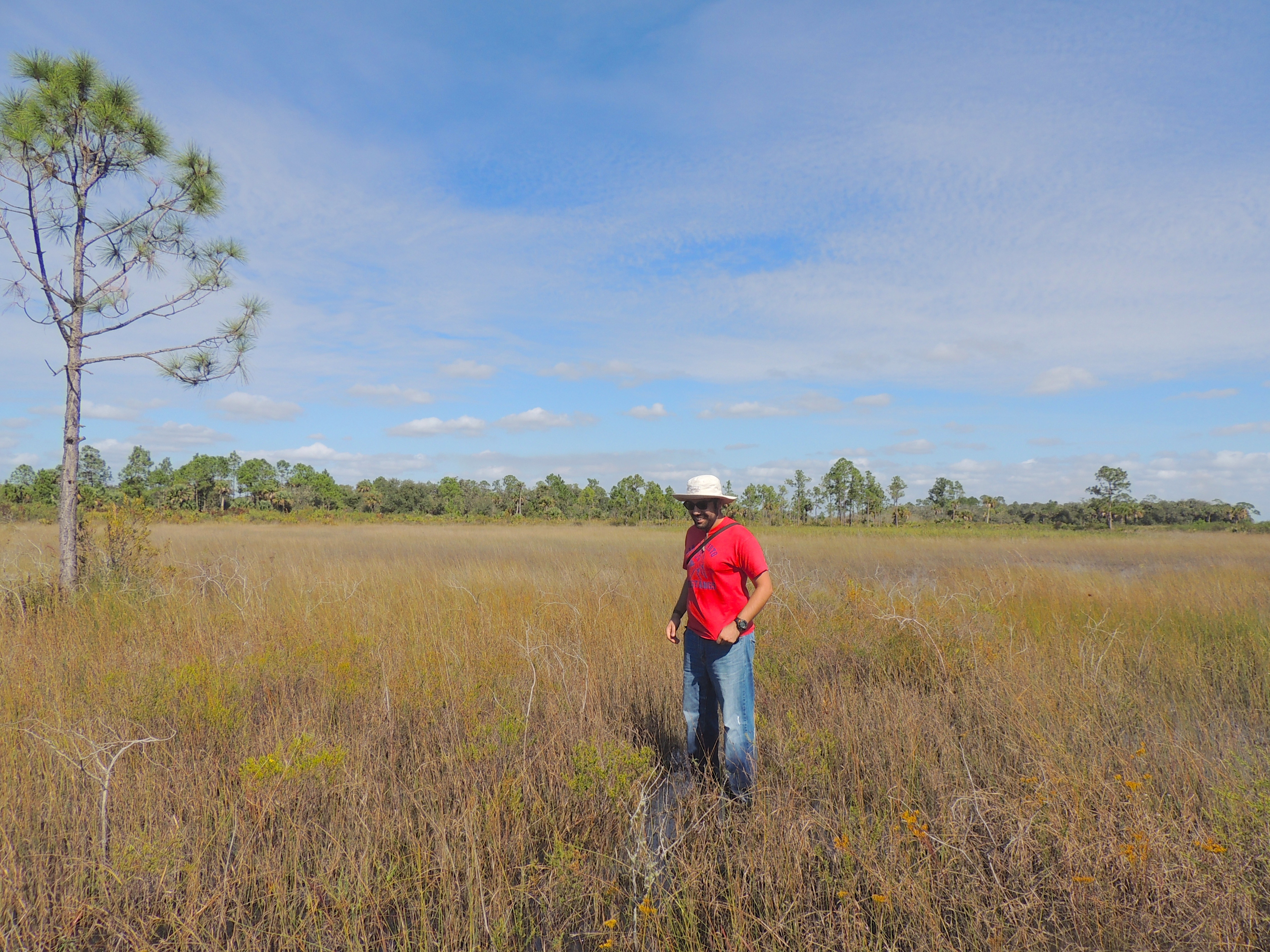
Diego poses in the grassland.

Mariana and ?
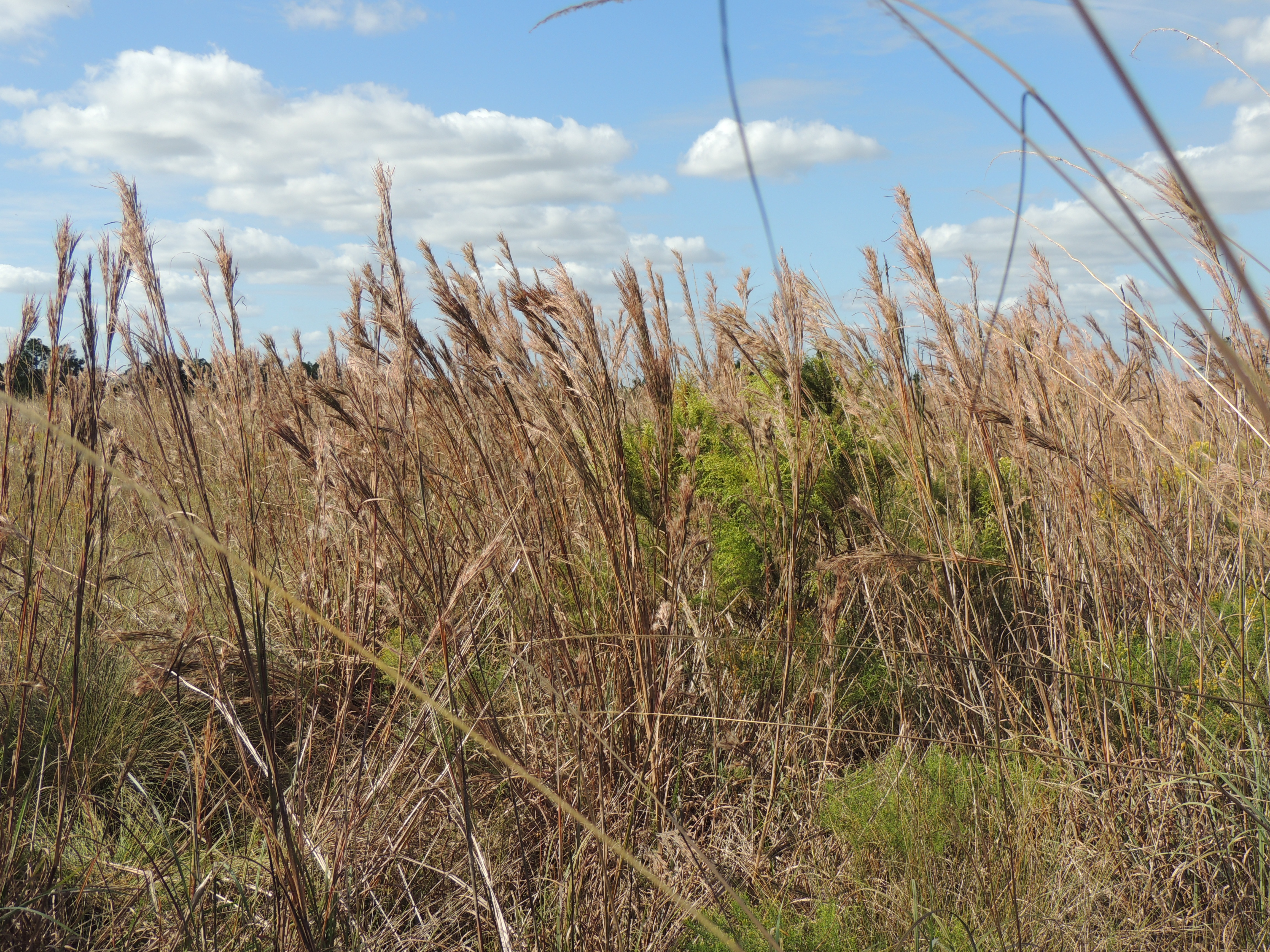
Andropogon glomeratus
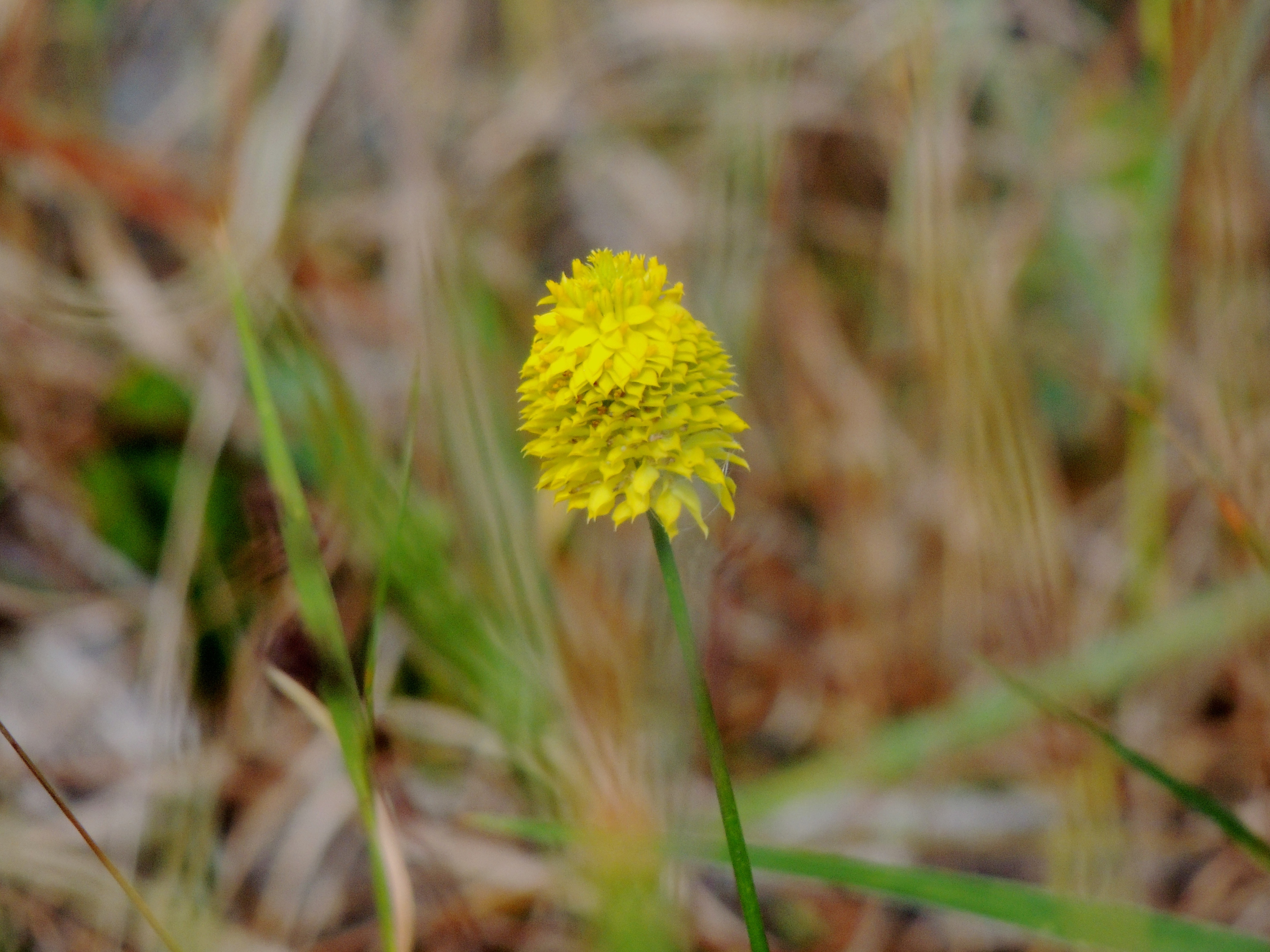
Polygala rugelii, Yellow Milkwort

Panther Ecoscape
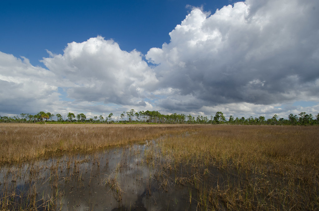
Ok Slough
Topographic Map of Tampa Ave, Clewiston, FL, USA
Find elevation by address:

Places near Tampa Ave, Clewiston, FL, USA:
300 Vero Ave
13880 Tangelo Ave
Sears Road
Sears Road
Keri Lookout Tower
1st Road
345 S Palomino St
3150 Evans Rd
Sears Rd, LaBelle, FL, USA
2805 Case Rd
3288 Fussell-grade
Hendry County
1505 Case Rd
1220 A Rd
385 Case Rd
320 G Rd
6010 Fl-29
Felda
FL-29, Felda, FL, USA
CR, Clewiston, FL, USA
Recent Searches:
- Elevation of Tenjo, Cundinamarca, Colombia
- Elevation of Côte-des-Neiges, Montreal, QC H4A 3J6, Canada
- Elevation of Bobcat Dr, Helena, MT, USA
- Elevation of Zu den Ihlowbergen, Althüttendorf, Germany
- Elevation of Badaber, Peshawar, Khyber Pakhtunkhwa, Pakistan
- Elevation of SE Heron Loop, Lincoln City, OR, USA
- Elevation of Slanický ostrov, 01 Námestovo, Slovakia
- Elevation of Spaceport America, Co Rd A, Truth or Consequences, NM, USA
- Elevation of Warwick, RI, USA
- Elevation of Fern Rd, Whitmore, CA, USA