Elevation of G Rd, LaBelle, FL, USA
Location: United States > Florida > Labelle >
Longitude: -81.432768
Latitude: 26.666957
Elevation: 19m / 62feet
Barometric Pressure: 101KPa
Elevation Map:
Satellite Map:
Related Photos:

Ok Slough

Panther Ecoscape
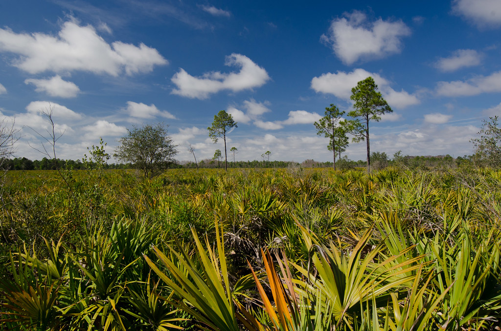
Panther Ecoscape
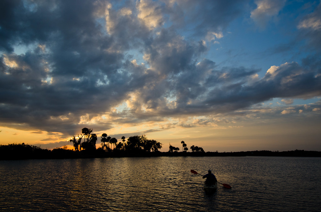
Caloosahatchee River

Florida,Alva, Riverfront Home

Okaloacoochee Slough Sunrise

Coreopsis leavenworthii

Live Oak tree from the 19th century in the prime of its life.

Okaloacoochee Slough State Forest

Andropogon glomeratus

Bedman's creek in my backyard

Andropogon glomeratus, Broom Sedge

Cladium jamaicense, Sawgrass

Polygala rugelii, Yellow Milkwort

Diego poses in the grassland.

Mariana and ?

Morning in the greenbelt

Another beautiful day
Topographic Map of G Rd, LaBelle, FL, USA
Find elevation by address:

Places near G Rd, LaBelle, FL, USA:
6010 Fl-29
1220 A Rd
385 Case Rd
1505 Case Rd
3288 Fussell-grade
1st Road
Sears Rd, LaBelle, FL, USA
2805 Case Rd
3150 Evans Rd
Sears Road
Sears Road
Keri Lookout Tower
FL-29, Felda, FL, USA
Felda
7605 D H Parker Rd
Lehigh Acres, FL, USA
1855 Tampa Ave
4618 Little League Rd
1114 Palm Dr
Immokalee Regional Airport
Recent Searches:
- Elevation of Lampiasi St, Sarasota, FL, USA
- Elevation of Elwyn Dr, Roanoke Rapids, NC, USA
- Elevation of Congressional Dr, Stevensville, MD, USA
- Elevation of Bellview Rd, McLean, VA, USA
- Elevation of Stage Island Rd, Chatham, MA, USA
- Elevation of Shibuya Scramble Crossing, 21 Udagawacho, Shibuya City, Tokyo -, Japan
- Elevation of Jadagoniai, Kaunas District Municipality, Lithuania
- Elevation of Pagonija rock, Kranto 7-oji g. 8"N, Kaunas, Lithuania
- Elevation of Co Rd 87, Jamestown, CO, USA
- Elevation of Tenjo, Cundinamarca, Colombia