Elevation of Takavali, Maharashtra, India
Location: India > Maharashtra > Ratnagiri >
Longitude: 73.2323033
Latitude: 18.0293664
Elevation: 251m / 823feet
Barometric Pressure: 98KPa
Elevation Map:
Satellite Map:
Related Photos:

Towards Harihareshwar, June 2006

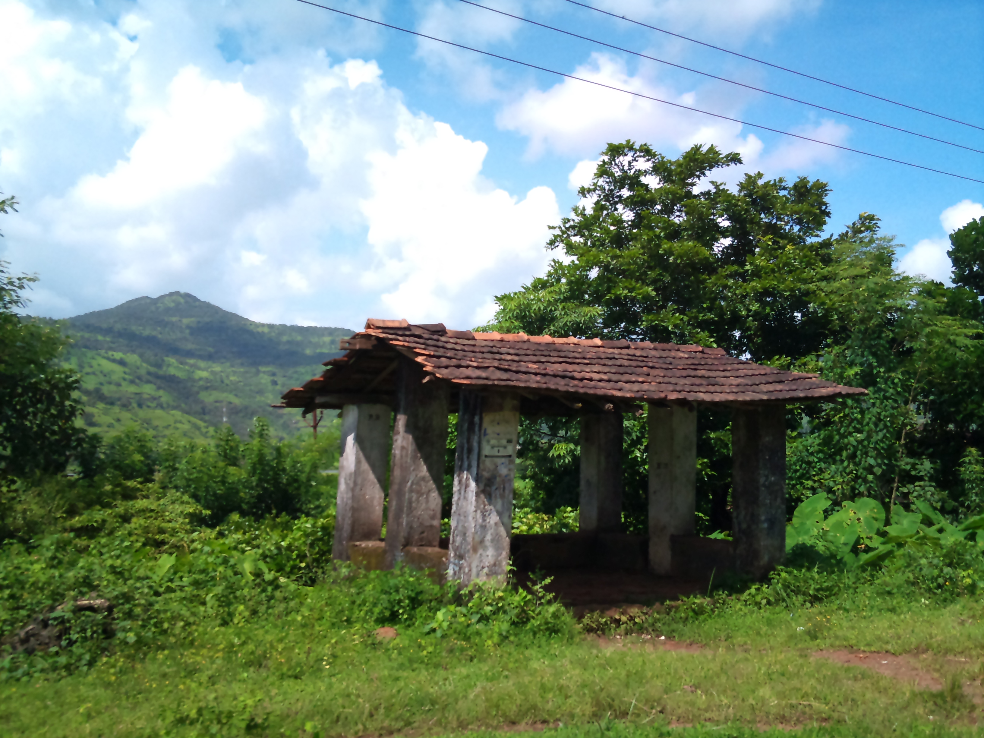
Konkan (63)
Konkan (64)

Konkan (62)
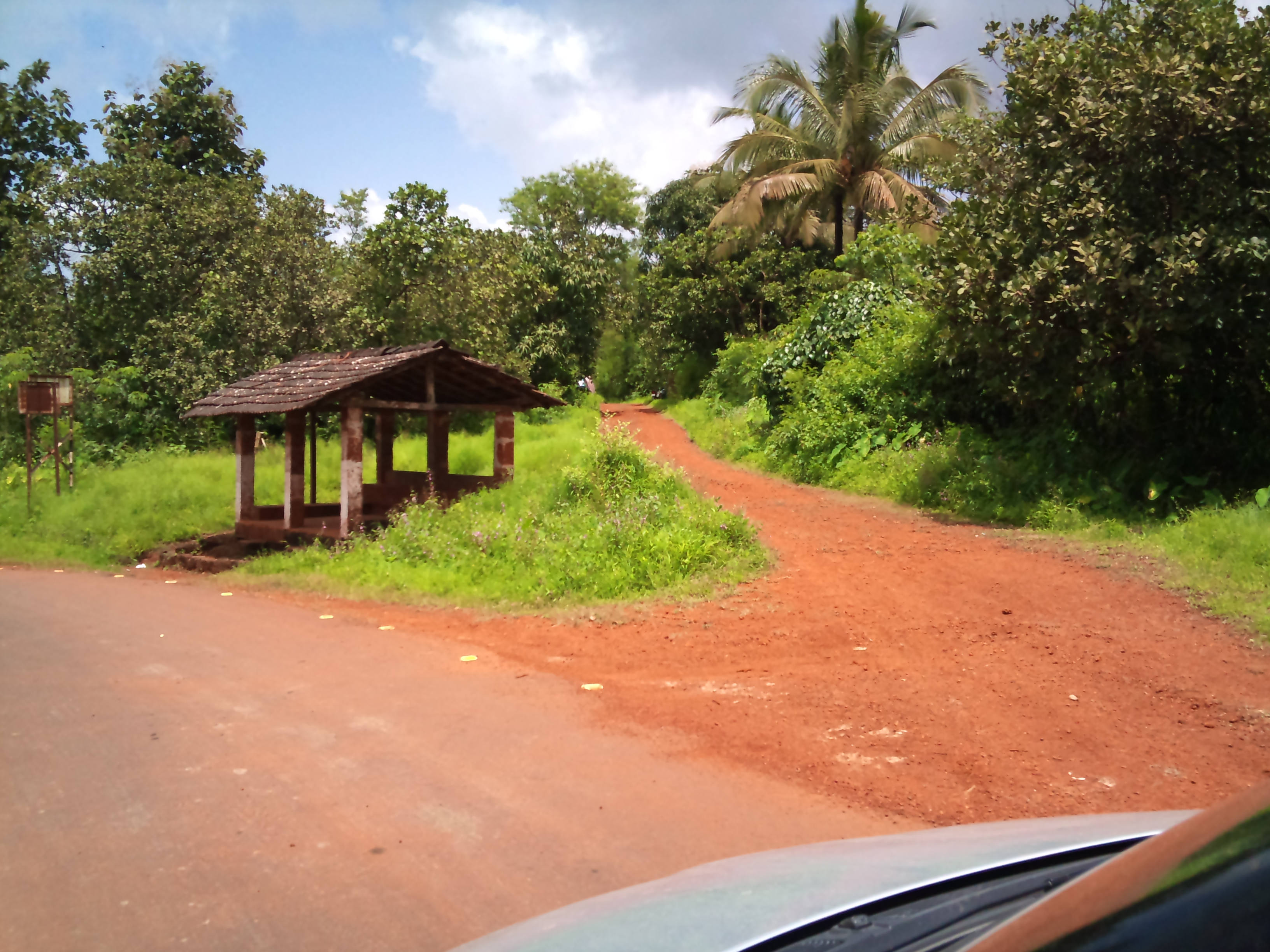
Konkan (60)

Konkan (59)

White-rumped Vulture

Red-rumped Swallow couple

Crocodile through theodolite telescope.
Topographic Map of Takavali, Maharashtra, India
Find elevation by address:

Places near Takavali, Maharashtra, India:
Warathi
Mangaon
Bhogaon Bk.
Kashedi Ghat
Dapoli
Raigad Fort
Gherakilla Raigad
Mayank Cashew Factory
Fanasu
Mazeri
Degaon
Jaoli
Unnamed Road
Varavand
Mahabaleshwar
Varandha Ghat Road
Bhatti
Kandat
Charhat Wadi
Zadani
Recent Searches:
- Elevation of Kambingan Sa Pansol Atbp., Purok 7 Pansol, Candaba, Pampanga, Philippines
- Elevation of Pinewood Dr, New Bern, NC, USA
- Elevation of Mountain View, CA, USA
- Elevation of Foligno, Province of Perugia, Italy
- Elevation of Blauwestad, Netherlands
- Elevation of Bella Terra Blvd, Estero, FL, USA
- Elevation of Estates Loop, Priest River, ID, USA
- Elevation of Woodland Oak Pl, Thousand Oaks, CA, USA
- Elevation of Brownsdale Rd, Renfrew, PA, USA
- Elevation of Corcoran Ln, Suffolk, VA, USA