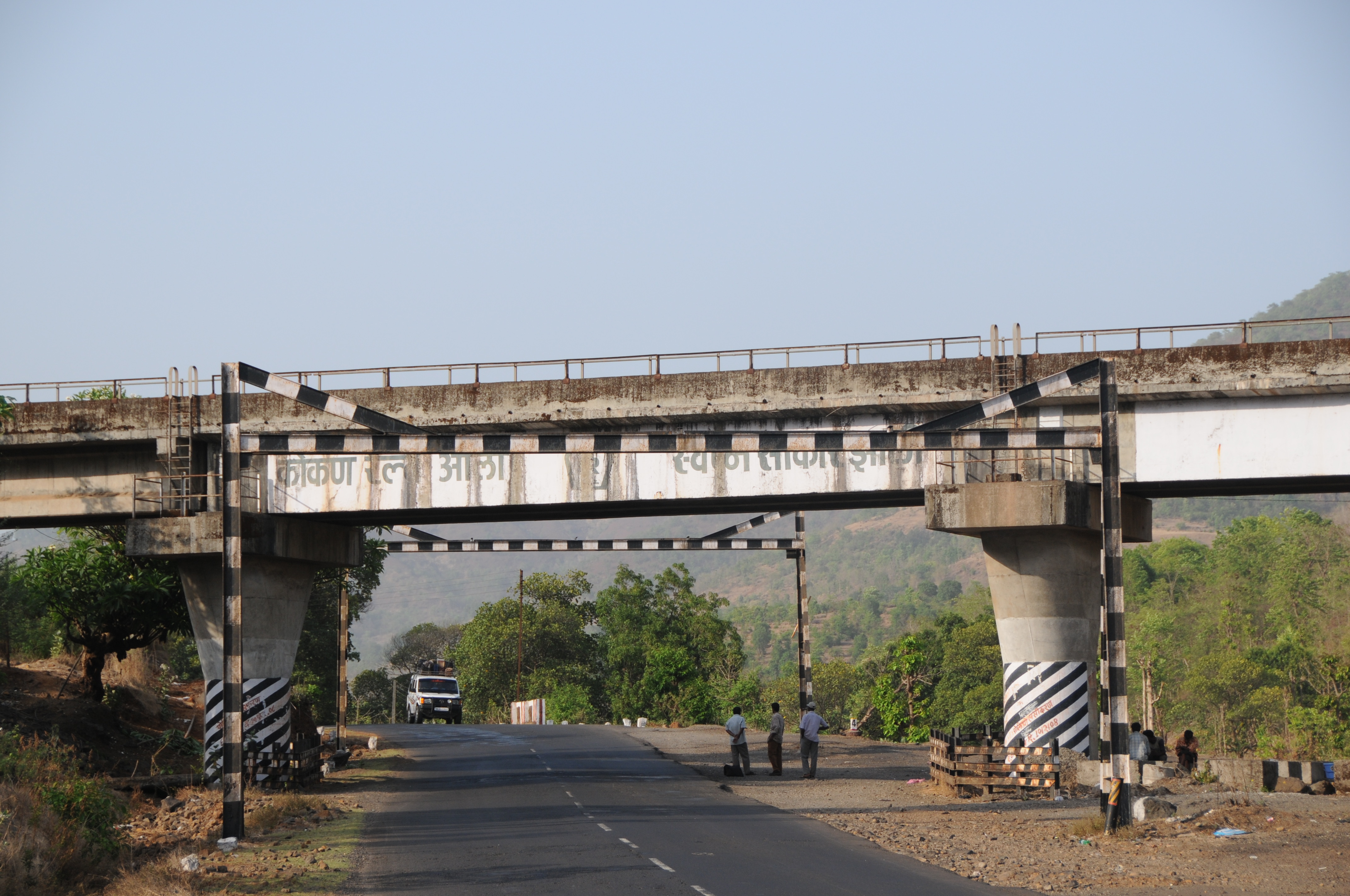
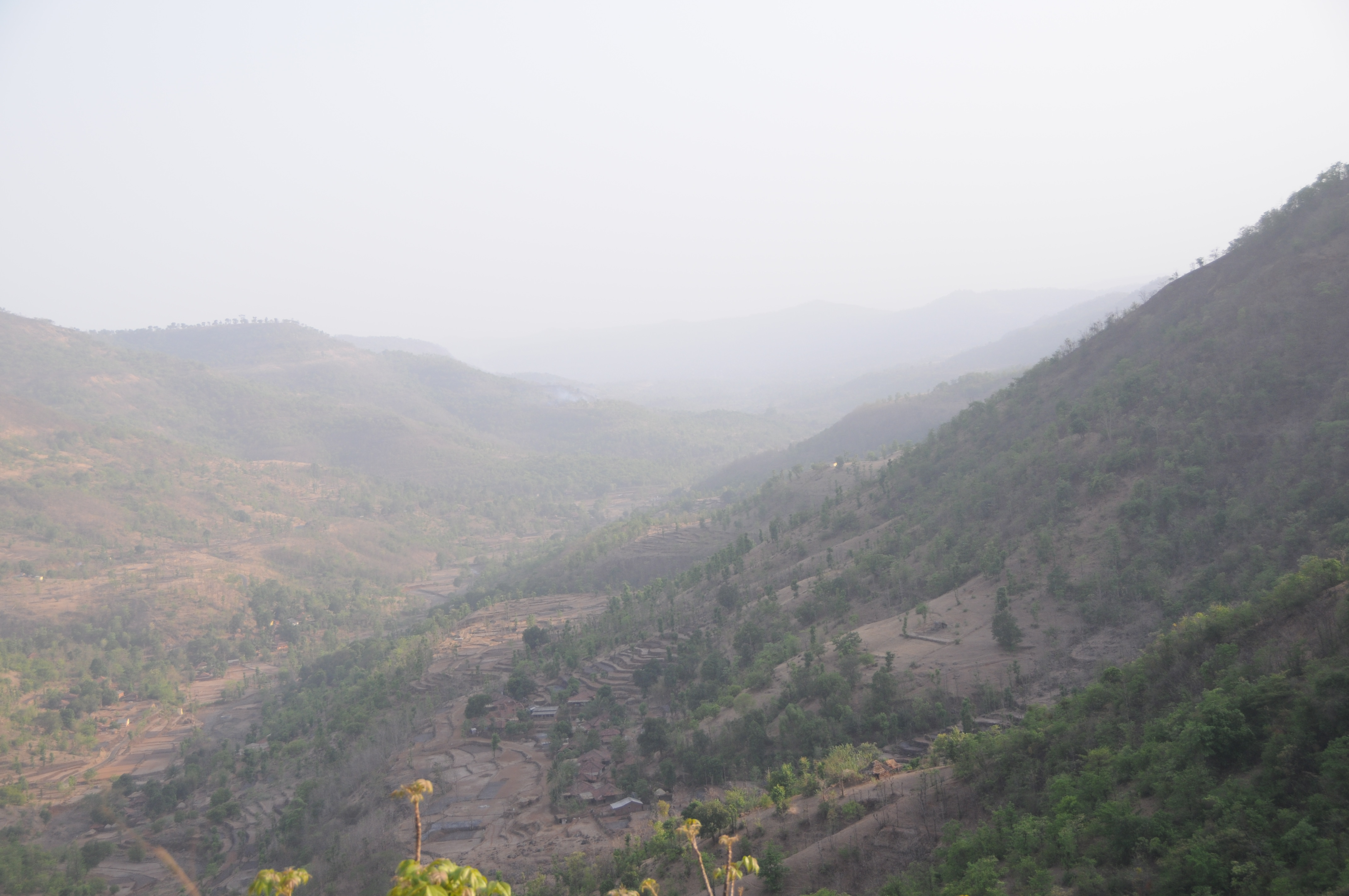
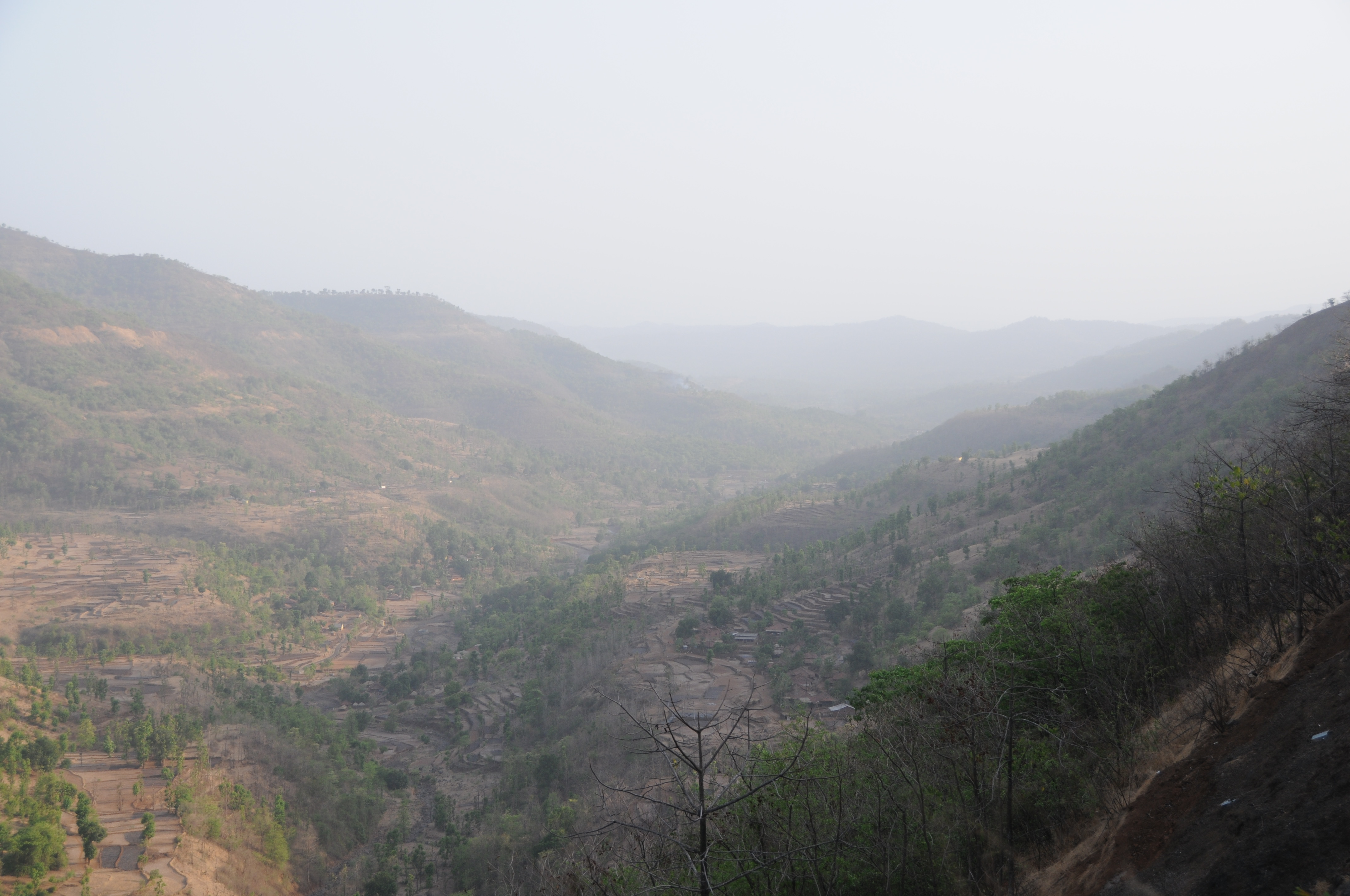
Elevation of Kashedi Ghat, राष्ट्रीय महामार्ग १७, Bhogaon Bk., Maharashtra, India
Location: India > Maharashtra > Raigad > Bhogaon Bk. >
Longitude: 73.4335182
Latitude: 17.9041018
Elevation: 385m / 1263feet
Barometric Pressure: 97KPa
Elevation Map:
Satellite Map:
Related Photos:
CSP_6111.JPG
CSP_6224.JPG
CSP_6169.JPG
CSP_6202.JPG
CSP_6209.JPG
CSP_6207.JPG
CSP_6149.JPG
CSP_6119.JPG

CSP_6118.JPG

CSP_6117.JPG
CSP_6113.JPG
CSP_6116.JPG
CSP_6121.JPG
CSP_6131.JPG
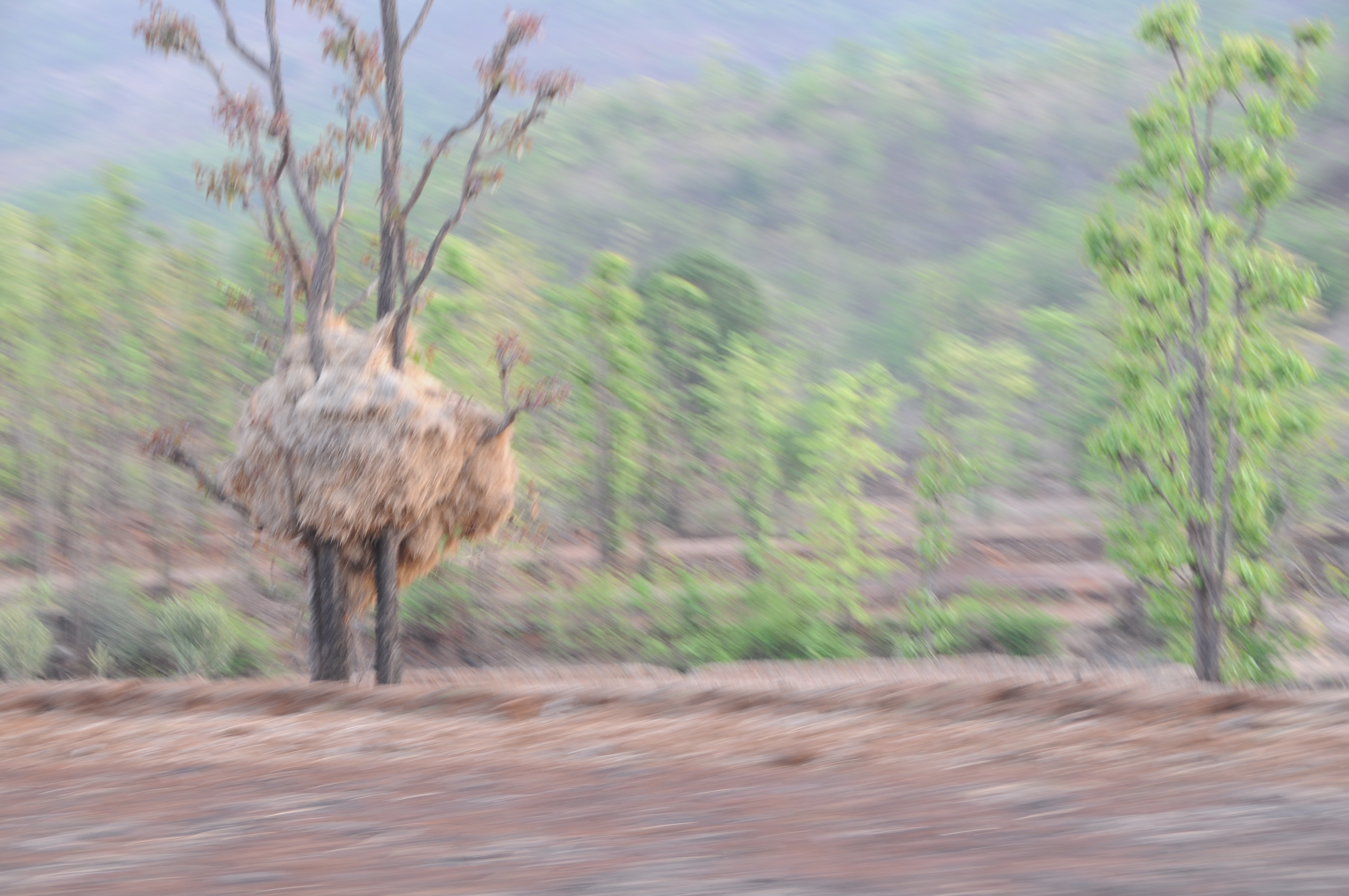
CSP_6201.JPG
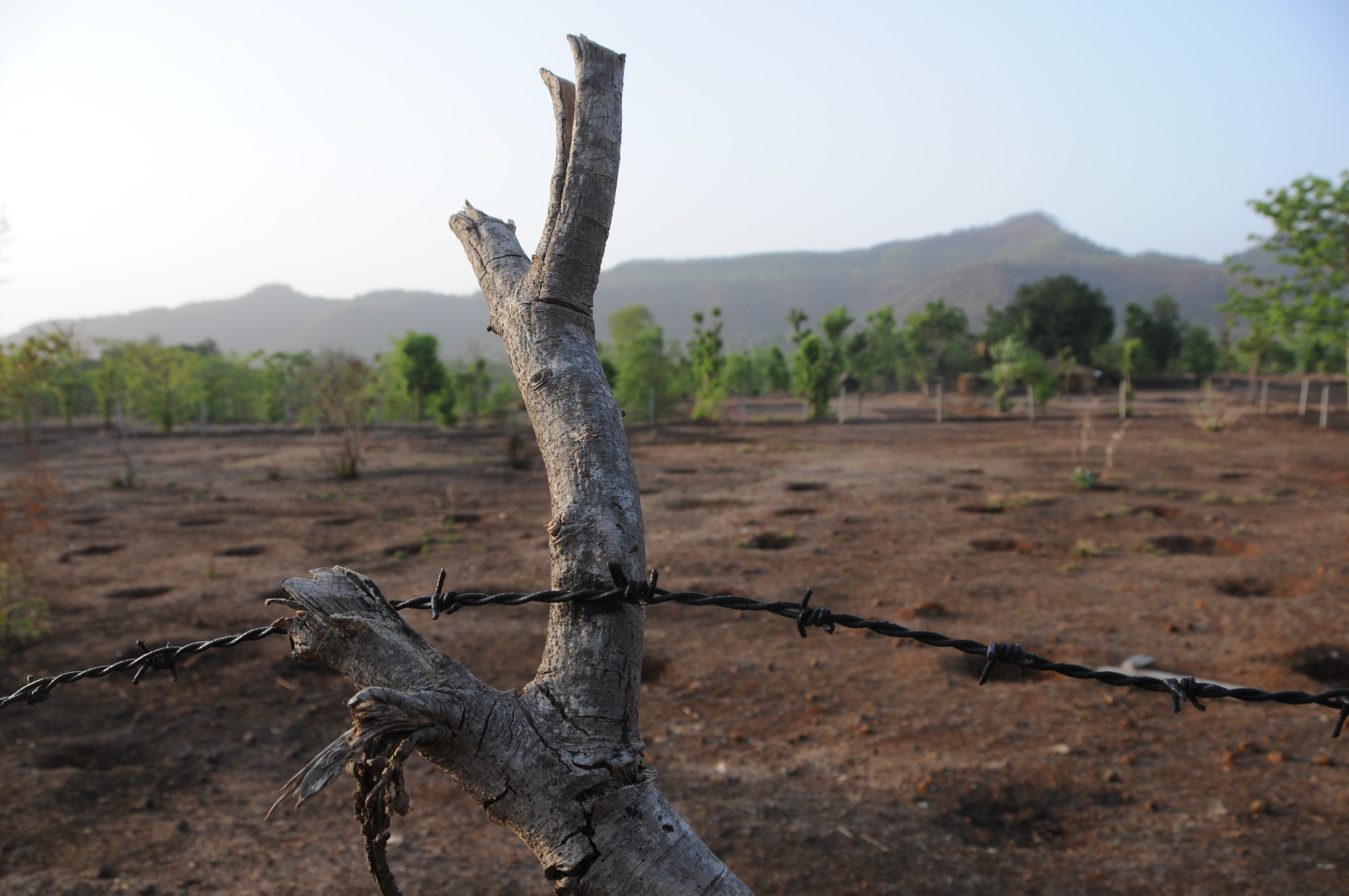
CSP_6180.JPG
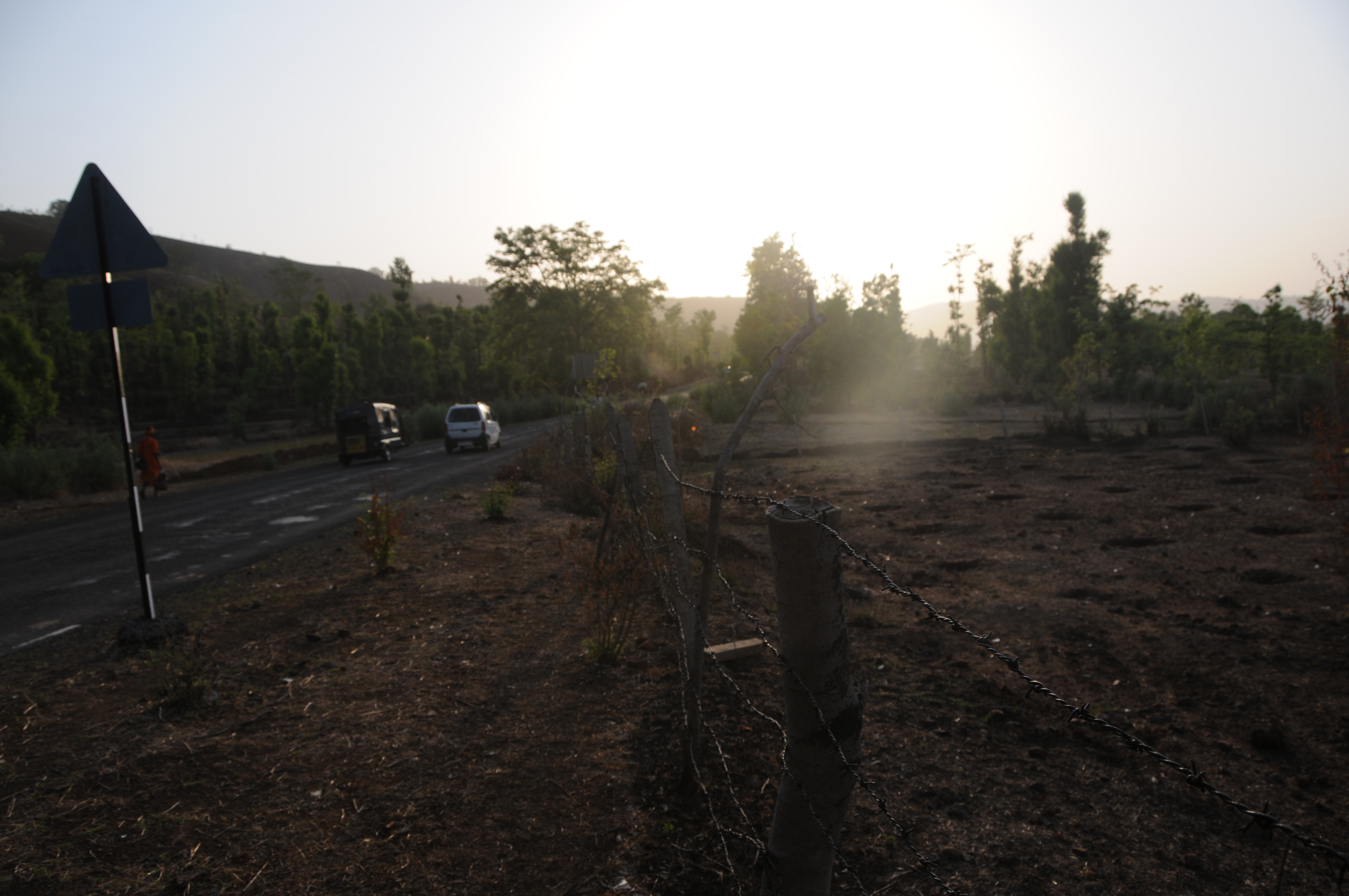
CSP_6183.JPG
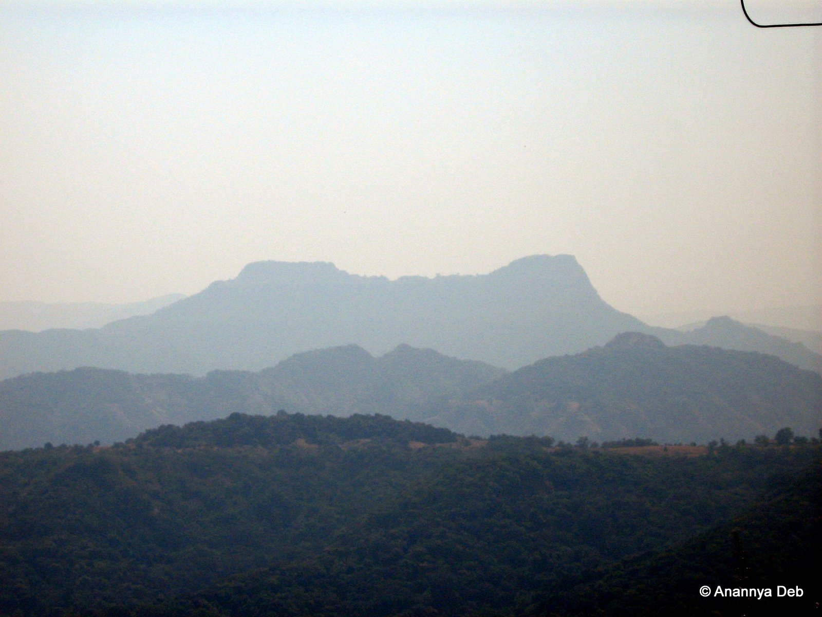
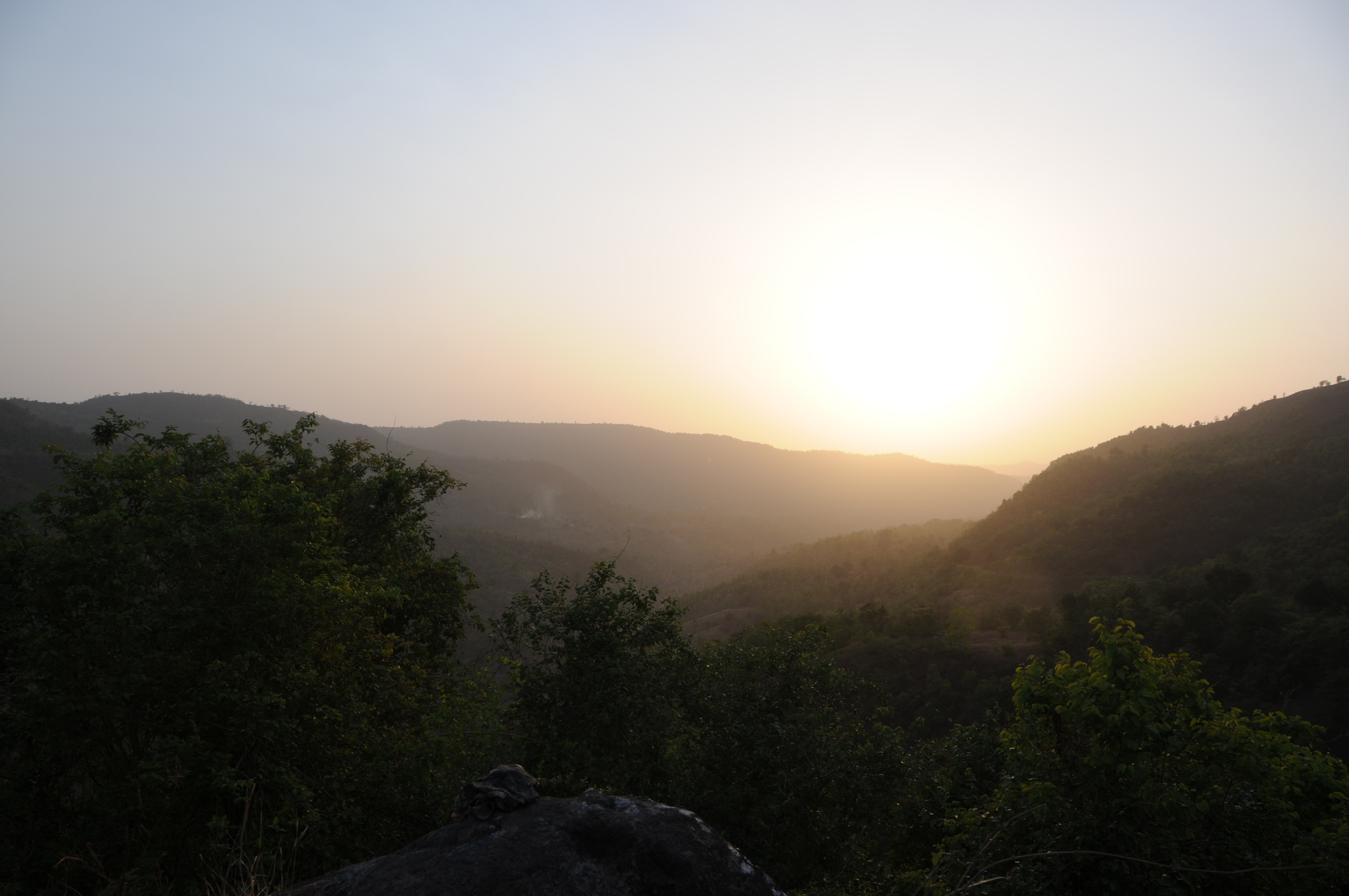
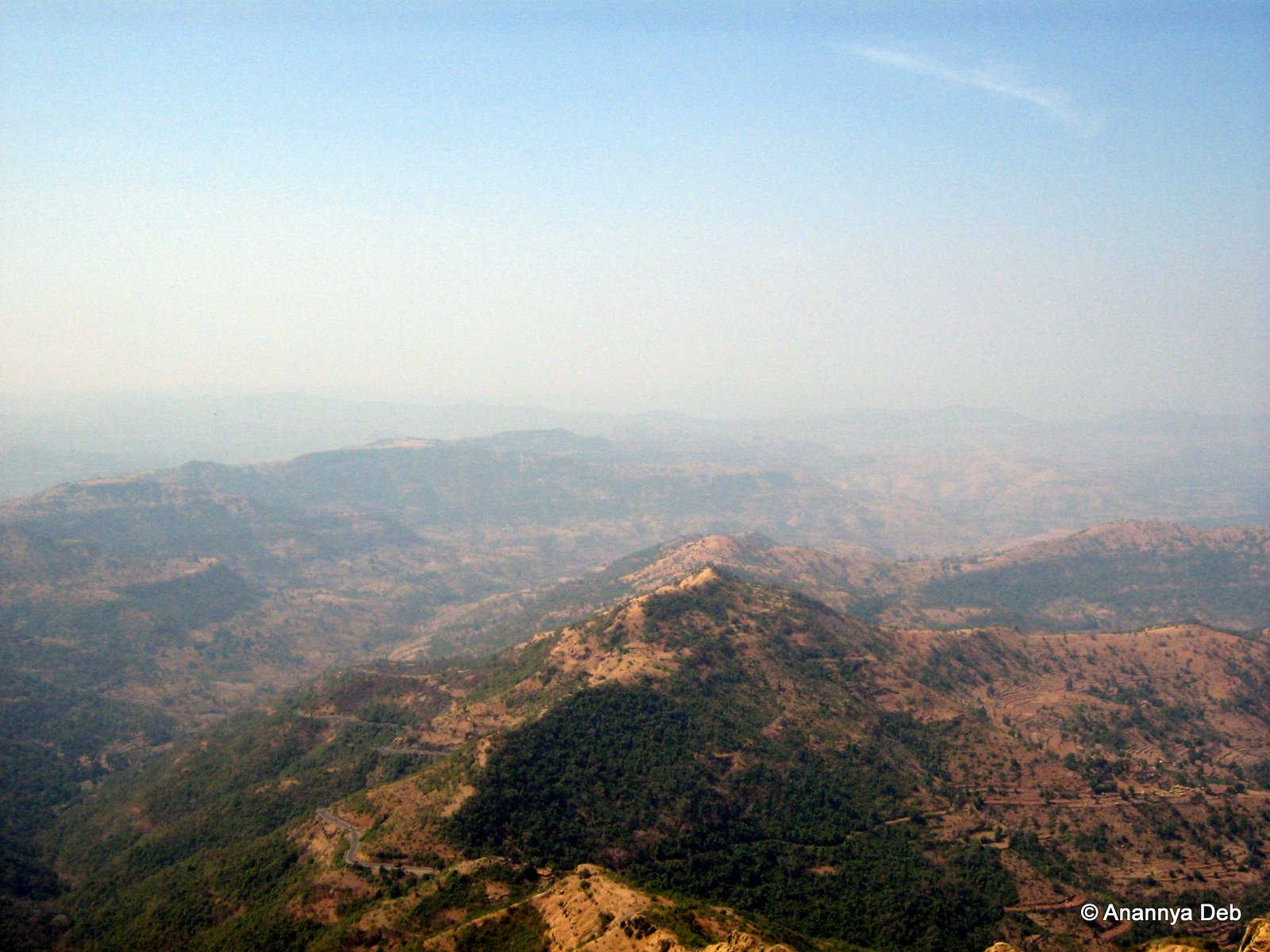
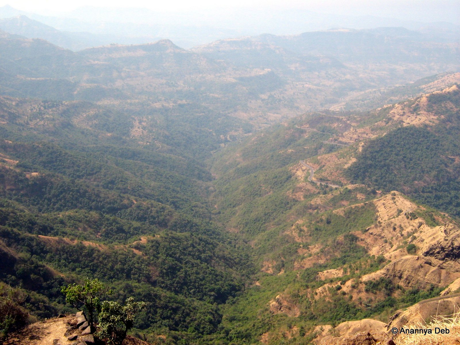
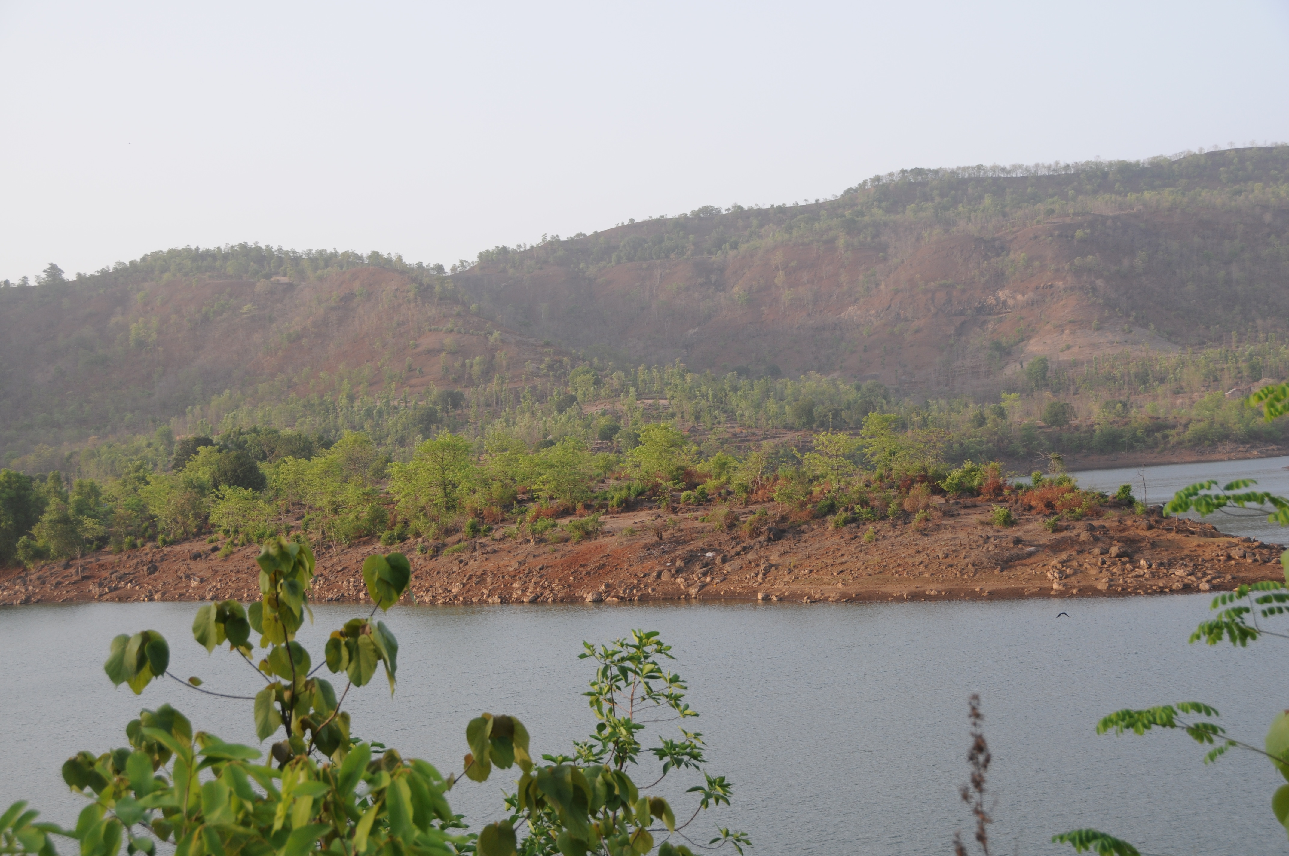
View of the land around Pratapgad, January 2007

CSP_6142.JPG
CSP_6146.JPG
CSP_6120.JPG
CSP_6170.JPG
CSP_6168.JPG
CSP_6153.JPG
CSP_6151.JPG
CSP_6212.JPG
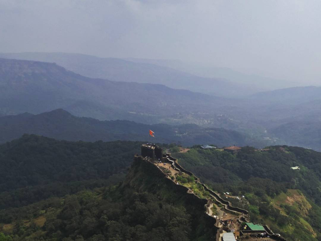
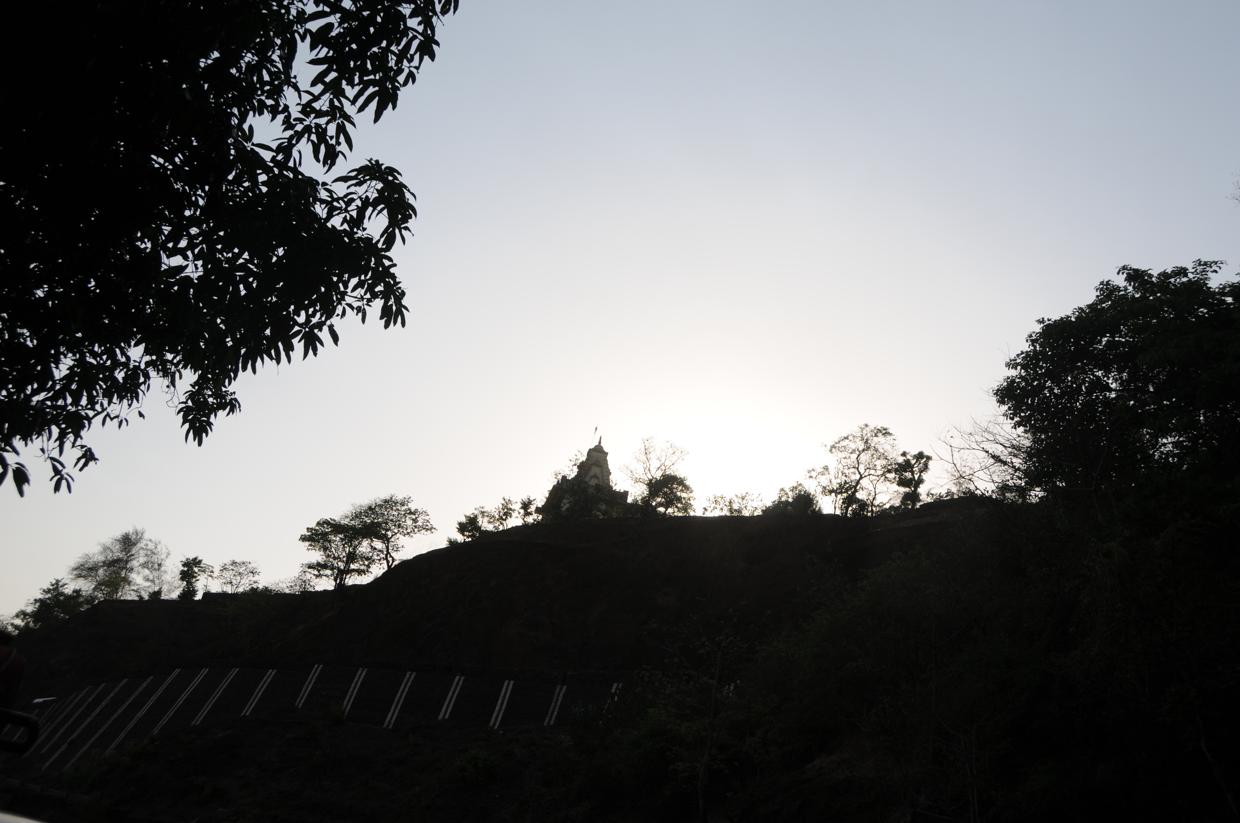
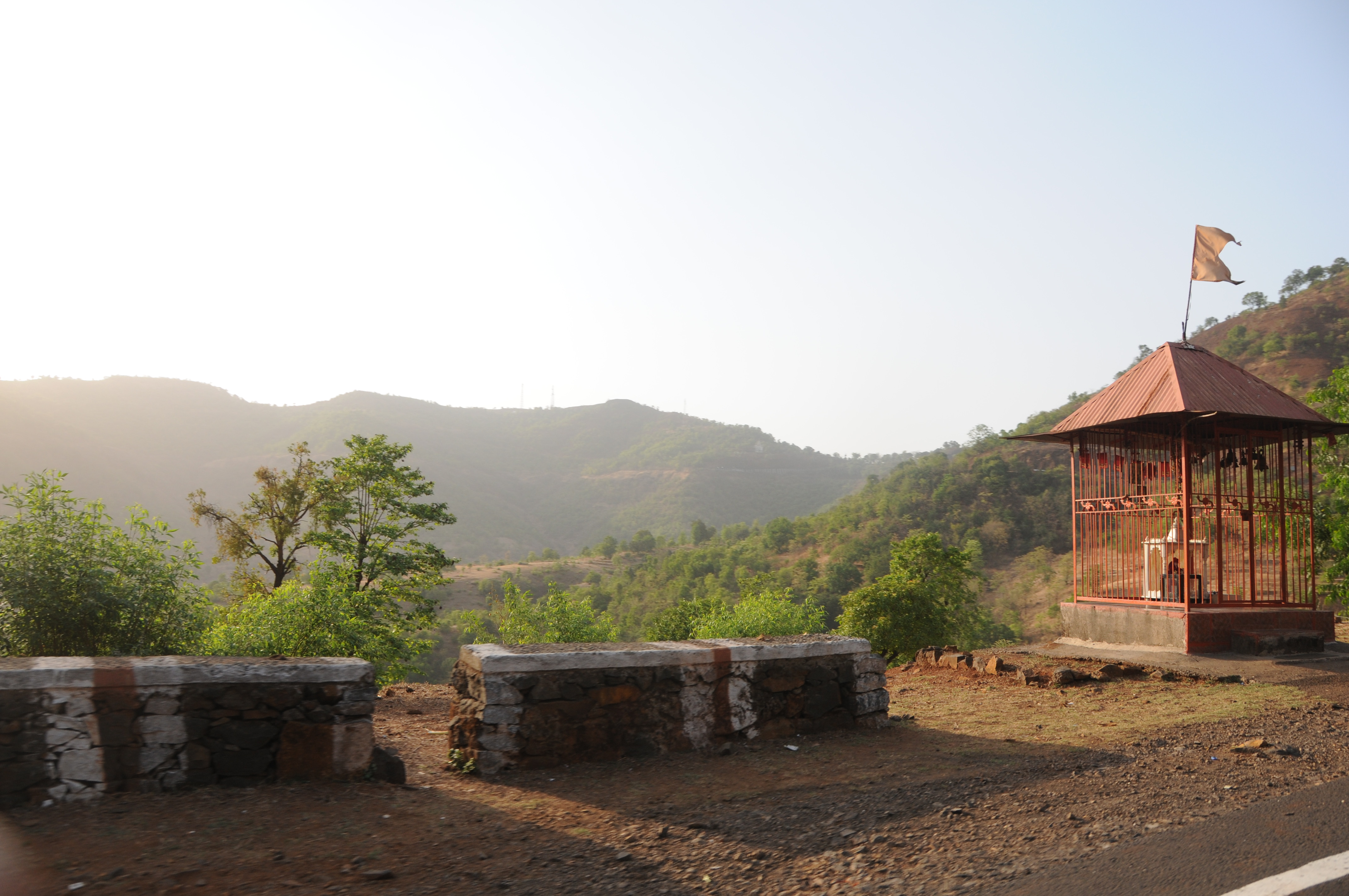
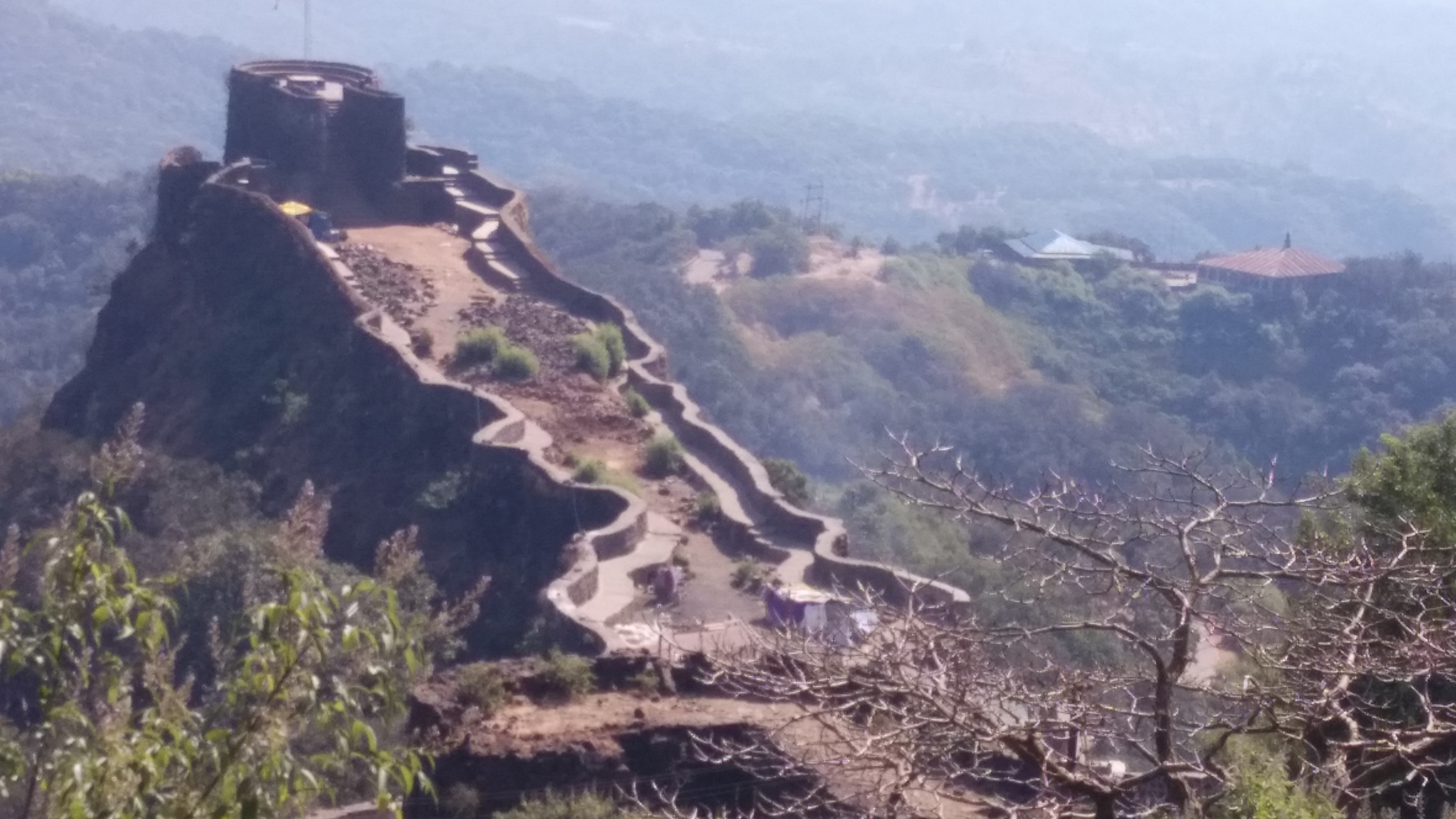
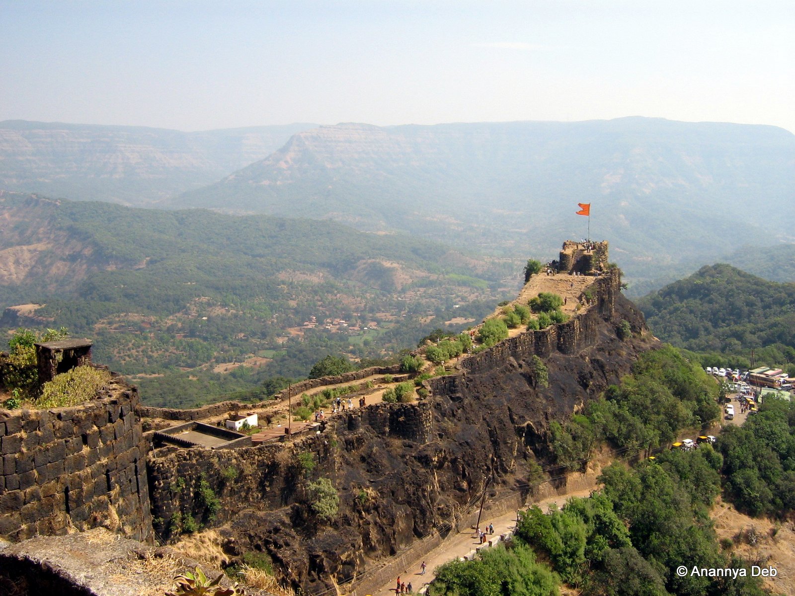
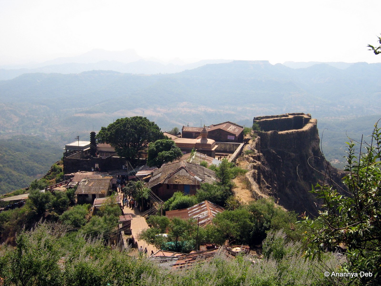
Pratapgad fort

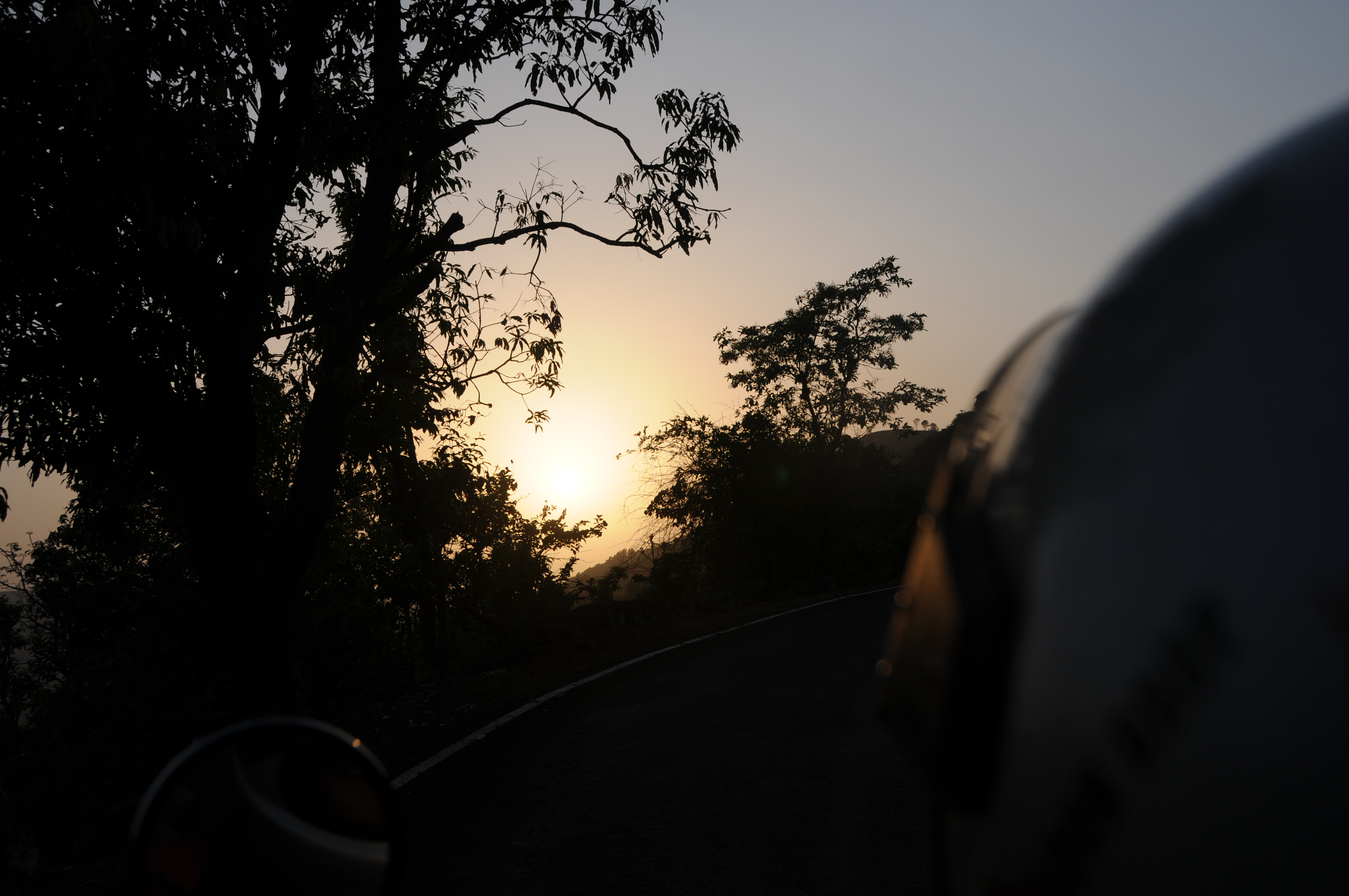
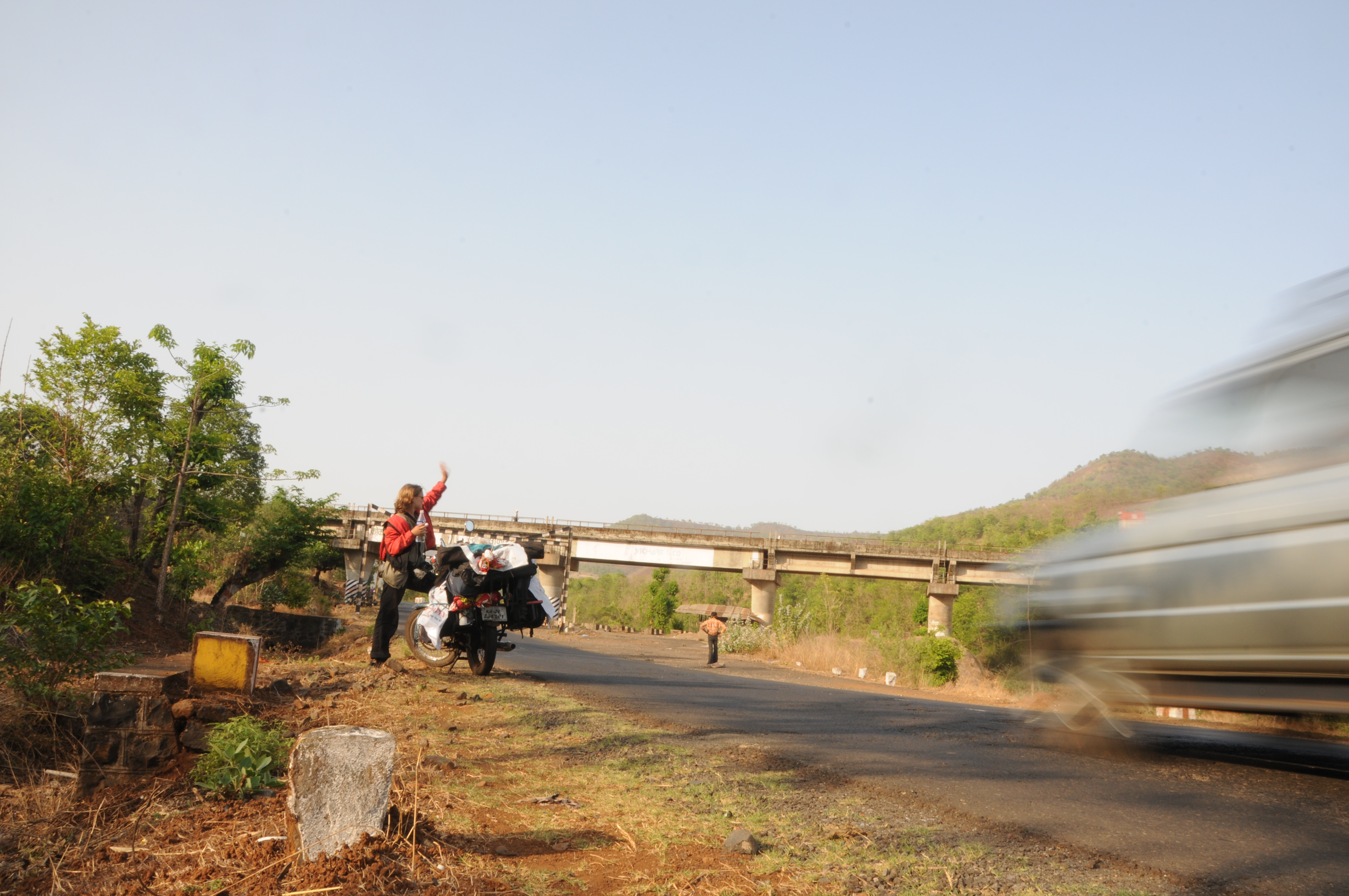
Day 8: Somwhere in Ambenali Ghat
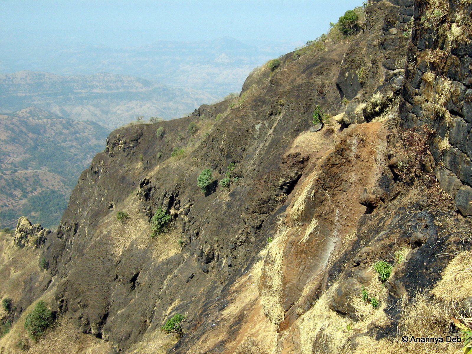
Pratapgad, January 2007
Pratapgad, January 2007
Dear Sir / Madam, Completed mini Science Communication tour of Mahabaleshwar, Wai, Vasole/Tupewadi-DAE Girisanchar 27. Delivered 8 sessions, addressed 900 students, teachers & general public. All credit to Nitin Raut Sir, Dr Randive Madam, Satish Shirk
Pratapgad, January 2007
Pratapgad, January 2007

Pratapgad, January 2007
Pratapgad, January 2007
Pratapgad, January 2007
Dear Sir / Madam, Completed mini Science Communication tour of Mahabaleshwar, Wai, Vasole/Tupewadi-DAE Girisanchar 27. Delivered 8 sessions, addressed 900 students, teachers & general public. All credit to Nitin Raut Sir, Dr Randive Madam, Satish Shirk
CSP_6175.JPG
CSP_6161.JPG
Topographic Map of Kashedi Ghat, राष्ट्रीय महामार्ग १७, Bhogaon Bk., Maharashtra, India
Find elevation by address:

Places near Kashedi Ghat, राष्ट्रीय महामार्ग १७, Bhogaon Bk., Maharashtra, India:
Bhogaon Bk.
Jaoli
Warathi
Mahabaleshwar
Kandat
Zadani
Shirnar
Kharoshi
Takavali
Saloshi
Parwat T. Wagawale
Uchat
Kalamgaon
Chikhali
Renoshi
Vivar
Met Shindi
Yerne Bk
Aarav
Golegaon
Recent Searches:
- Elevation of Foligno, Province of Perugia, Italy
- Elevation of Blauwestad, Netherlands
- Elevation of Bella Terra Blvd, Estero, FL, USA
- Elevation of Estates Loop, Priest River, ID, USA
- Elevation of Woodland Oak Pl, Thousand Oaks, CA, USA
- Elevation of Brownsdale Rd, Renfrew, PA, USA
- Elevation of Corcoran Ln, Suffolk, VA, USA
- Elevation of Mamala II, Sariaya, Quezon, Philippines
- Elevation of Sarangdanda, Nepal
- Elevation of 7 Waterfall Way, Tomball, TX, USA