Elevation of Taiwan, Yunlin County, Lunbei Township
Location: Taiwan > Yunlin County > Lunbei Township > 豐榮村 > 豐榮 >
Longitude: 120.307353
Latitude: 23.7880371
Elevation: 11m / 36feet
Barometric Pressure: 101KPa
Elevation Map:
Satellite Map:
Related Photos:

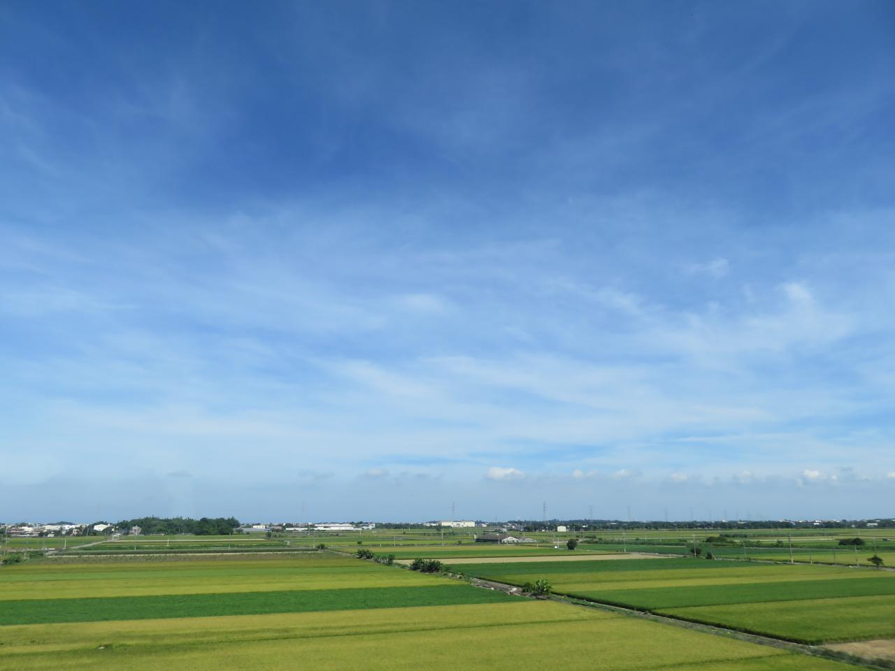
View From THSR Window

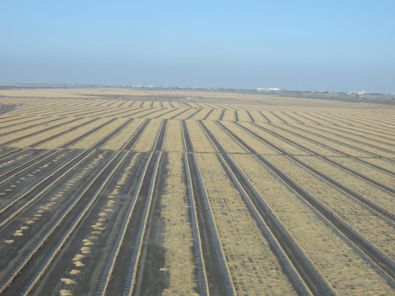
View From THSR Window

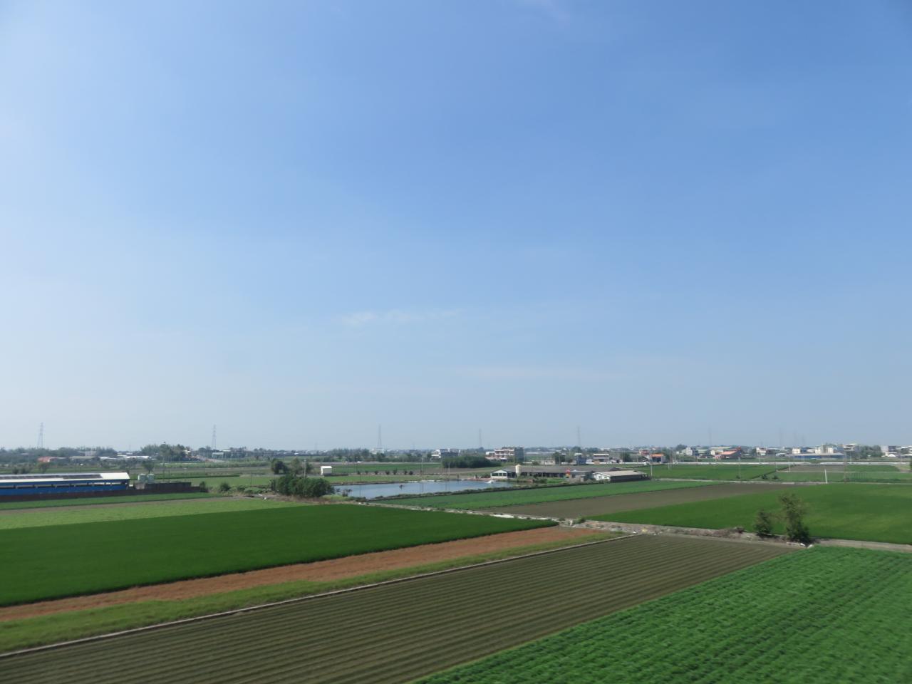
View From THSR Window
View From THSR Window

View From THSR Window

View From THSR Window

View From THSR Window

View From THSR Window
View From THSR Window

Sunset (View From THSR Window)

View From THSR Window

View From THSR Window
View From THSR Window

View From THSR Window

View From THSR Window

View From THSR Window

View From THSR Window

View From THSR Window

View From THSR Window

View From THSR Window

View From THSR Window

a fishing boat under Milky Way

moonlight and Milky Way

to the sea

end of August

雲林台西

2015 0926~29台南嘉義遊

DSC_9826.jpg

員工旅遊ing

2012-04-27 18.08.43

A playground

彰化 芳苑 夕陽

到!

2012-04-24 18.26.03

彰化 芳苑 夕陽

2012-04-27 18.10.29

Camera Roll-1563

IMG_0702.JPG

IMG_0699.JPG

What are you look for this
Topographic Map of Taiwan, Yunlin County, Lunbei Township
Find elevation by address:

Places near Taiwan, Yunlin County, Lunbei Township:
豐榮
施厝村
1-1
東佃厝
興華村
豐榮村
Taiwan, Yunlin County, Mailiao Township, 26
194-1
Lunbei Township
Taiwan, Yunlin County, Lunbei Township
圳寮
Taiwan, Yunlin County, Mailiao Township, 21
大有村
阿勸村
2-2
No. 59, Minzhi Rd, Lunbei Township, Yunlin County, Taiwan
崙後村
水尾村
Taiwan, Yunlin County, Lunbei Township, 42
興華
Recent Searches:
- Elevation of Bydgoszcz, Poland
- Elevation of Bydgoszcz, Poland
- Elevation of Calais Dr, Del Mar, CA, USA
- Elevation of Placer Mine Ln, West Jordan, UT, USA
- Elevation of E 63rd St, New York, NY, USA
- Elevation of Elk City, OK, USA
- Elevation of Erika Dr, Windsor, CA, USA
- Elevation of Village Ln, Finleyville, PA, USA
- Elevation of 24 Oakland Rd #, Scotland, ON N0E 1R0, Canada
- Elevation of Deep Gap Farm Rd E, Mill Spring, NC, USA