Elevation of Taiwan, Yilan County, Nan'ao Township, 谷風路1號
Location: Taiwan > Yilan County > Nan'ao Township > 澳花村 >
Longitude: 121.769602
Latitude: 24.3419987
Elevation: 87m / 285feet
Barometric Pressure: 100KPa
Elevation Map:
Satellite Map:
Related Photos:

要是每天都能看到這樣的view那該有多好ㄚ_0728

運動好天氣!這樣球場的view還能看多久?

View on the cliff #thisishome #wickedview #sunny #sky #oceanview #hualien #taiwan #roadtrip #noeffect #nofilter

View 2013 Rally Nippon in Taiwan 39

View 2013 Rally Nippon in Taiwan 34
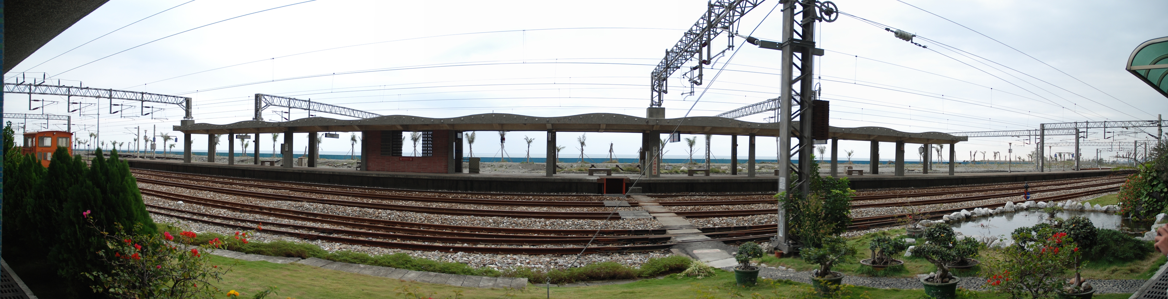
Hanben Station / 漢本車站內

從朝陽國家步道山腰遠眺南澳漁港及粉鳥林海岸-宜蘭縣蘇澳鎮朝陽里-View from Jhao Yang National Trail, Su'ao, Yilan county, Taiwan

Taiwan East Coast

IMG_7396.JPG

IMG_7409.JPG

IMG_6713-1

IMG_7398.JPG

IMG_7401.JPG

Taiwan Hualien

0820 1147

20100621_125934_南澳

IMAG0903-01

IMG_7395.JPG

令人敬畏的清水斷崖

2015-02-15 at 14-21-29-花蓮_宜蘭

20100621_132132_南澳

IMG_6644-1

花蓮-清水斷崖
Topographic Map of Taiwan, Yilan County, Nan'ao Township, 谷風路1號
Find elevation by address:

Places near Taiwan, Yilan County, Nan'ao Township, 谷風路1號:
Taiwan, Yilan County, Nan'ao Township, 碧海路7號
Taiwan, Yilan County, Nan'ao Township, 1
32-1
和平
澳花村
No. 16, Suhua Hwy, Xiulin Township, Hualien County, Taiwan
No. 7, Jinyang Rd, Nan'ao Township, Yilan County, Taiwan
No. 7, Hengshan Rd, Nan'ao Township, Yilan County, Taiwan
No. 31, Xinxi Rd, Nan'ao Township, Yilan County, Taiwan
No. 51, Suhua Hwy, Xiulin Township, Hualien County, Taiwan
52-2
武塔村
Nan'ao Township
南強里
和平村
朝陽里
No., Section 2, Suhua Rd, Su'ao Township, Yilan County, Taiwan
22-3
No. 92, Suhua Hwy, Xiulin Township, Hualien County, Taiwan
東澳里
Recent Searches:
- Elevation of Tater Hill, Oklahoma, USA
- Elevation of NY-, Friendship, NY, USA
- Elevation of 64 Danakas Dr, Winnipeg, MB R2C 5N7, Canada
- Elevation of 4 Vale Rd, Sheffield S3 9QX, UK
- Elevation of Keene Point Drive, Keene Point Dr, Grant, AL, USA
- Elevation of State St, Zanesville, OH, USA
- Elevation of Austin Stone Dr, Haslet, TX, USA
- Elevation of Bydgoszcz, Poland
- Elevation of Bydgoszcz, Poland
- Elevation of Calais Dr, Del Mar, CA, USA