Elevation of Taiwan, Hualien County, Xiulin Township, 32-1
Location: Taiwan > Hualien County > Xiulin Township > 和平村 > 和平 >
Longitude: 121.74375
Latitude: 24.31668
Elevation: 36m / 118feet
Barometric Pressure: 101KPa
Elevation Map:
Satellite Map:
Related Photos:

要是每天都能看到這樣的view那該有多好ㄚ_0728

運動好天氣!這樣球場的view還能看多久?
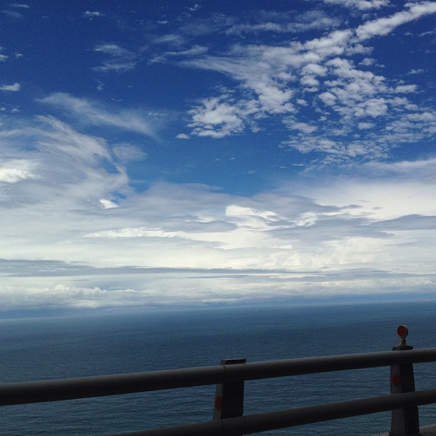
View on the cliff #thisishome #wickedview #sunny #sky #oceanview #hualien #taiwan #roadtrip #noeffect #nofilter

View 2013 Rally Nippon in Taiwan 39
View 2013 Rally Nippon in Taiwan 34
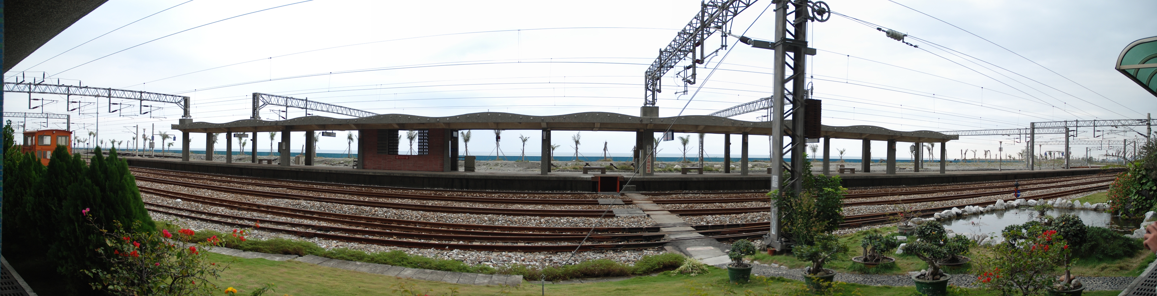
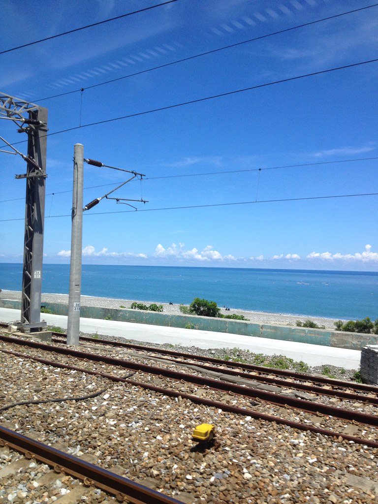
Hanben Station / 漢本車站內

Taiwan Hualien

漢本
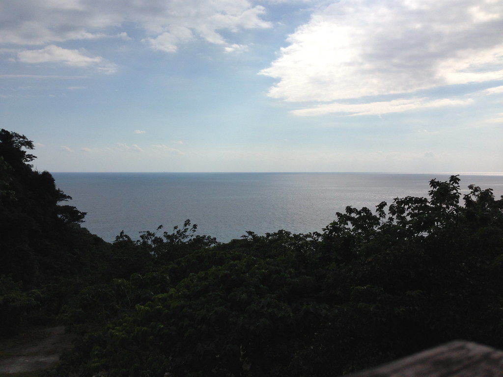
Beautiful east coast of Taiwan

Wish you were there, with me
0820 1147

20100621_125934_南澳

IMAG0903-01

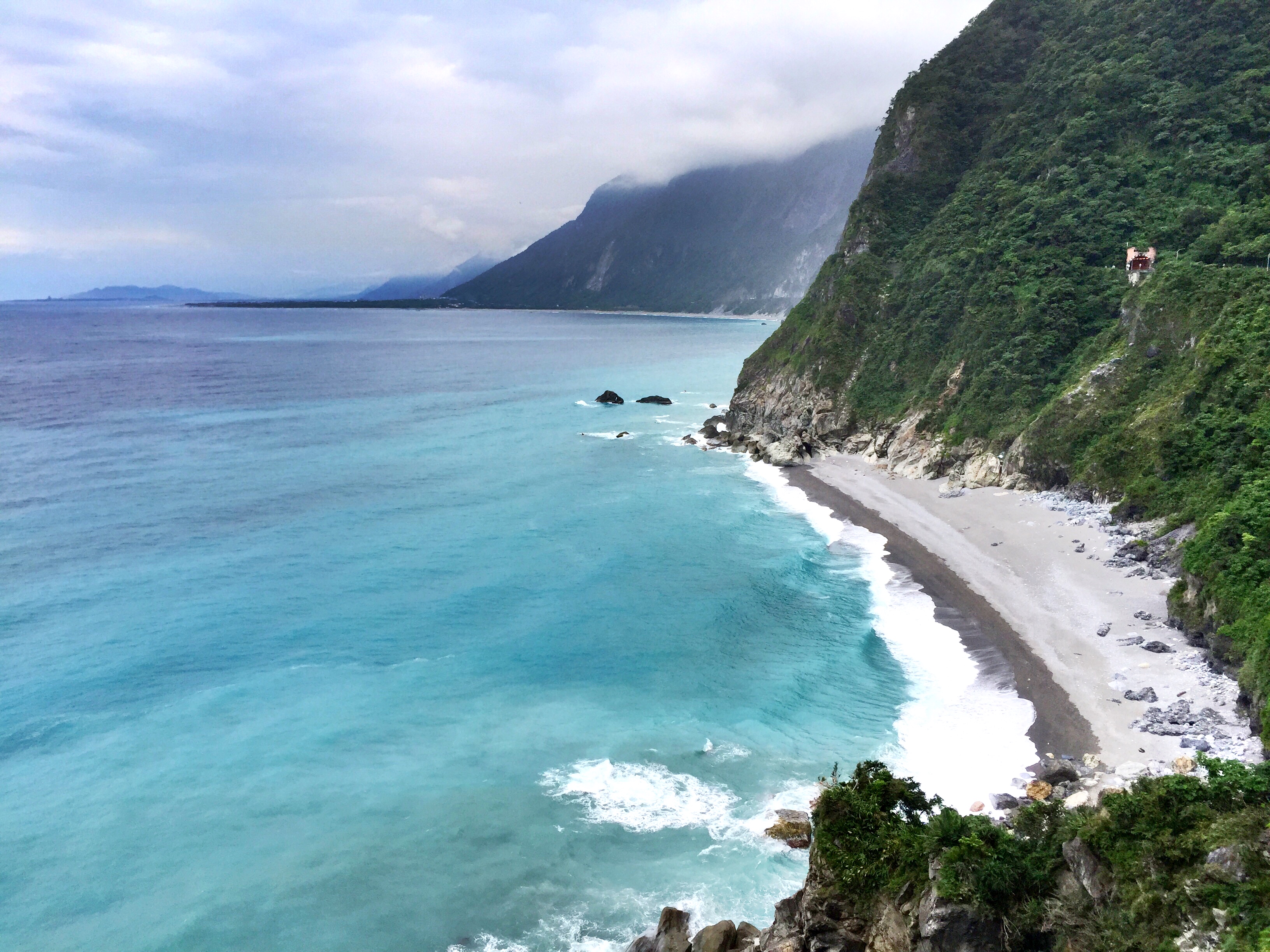
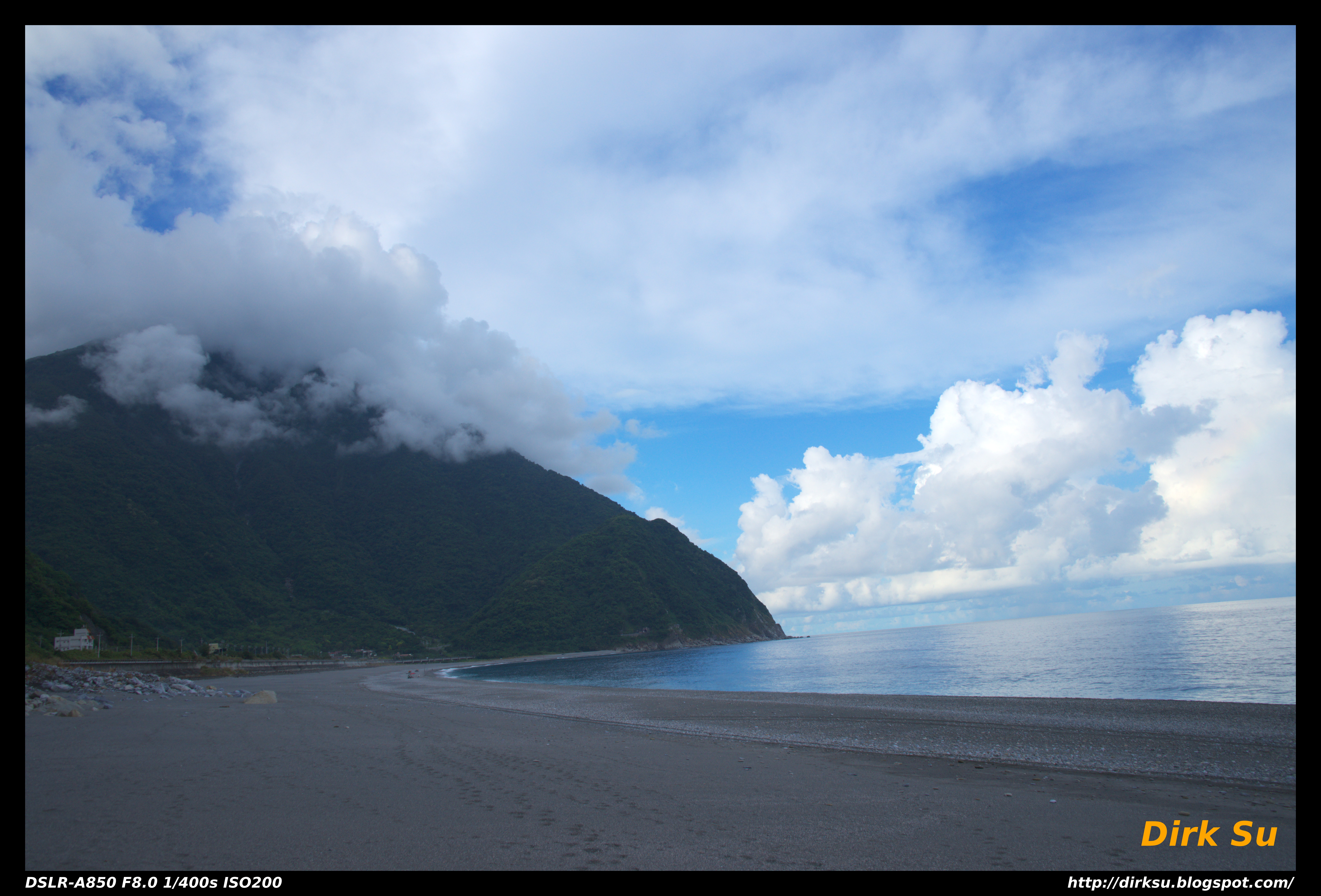
令人敬畏的清水斷崖

2015-02-15 at 14-21-29-花蓮_宜蘭

崇德_07彩虹

IMAG2489.jpg
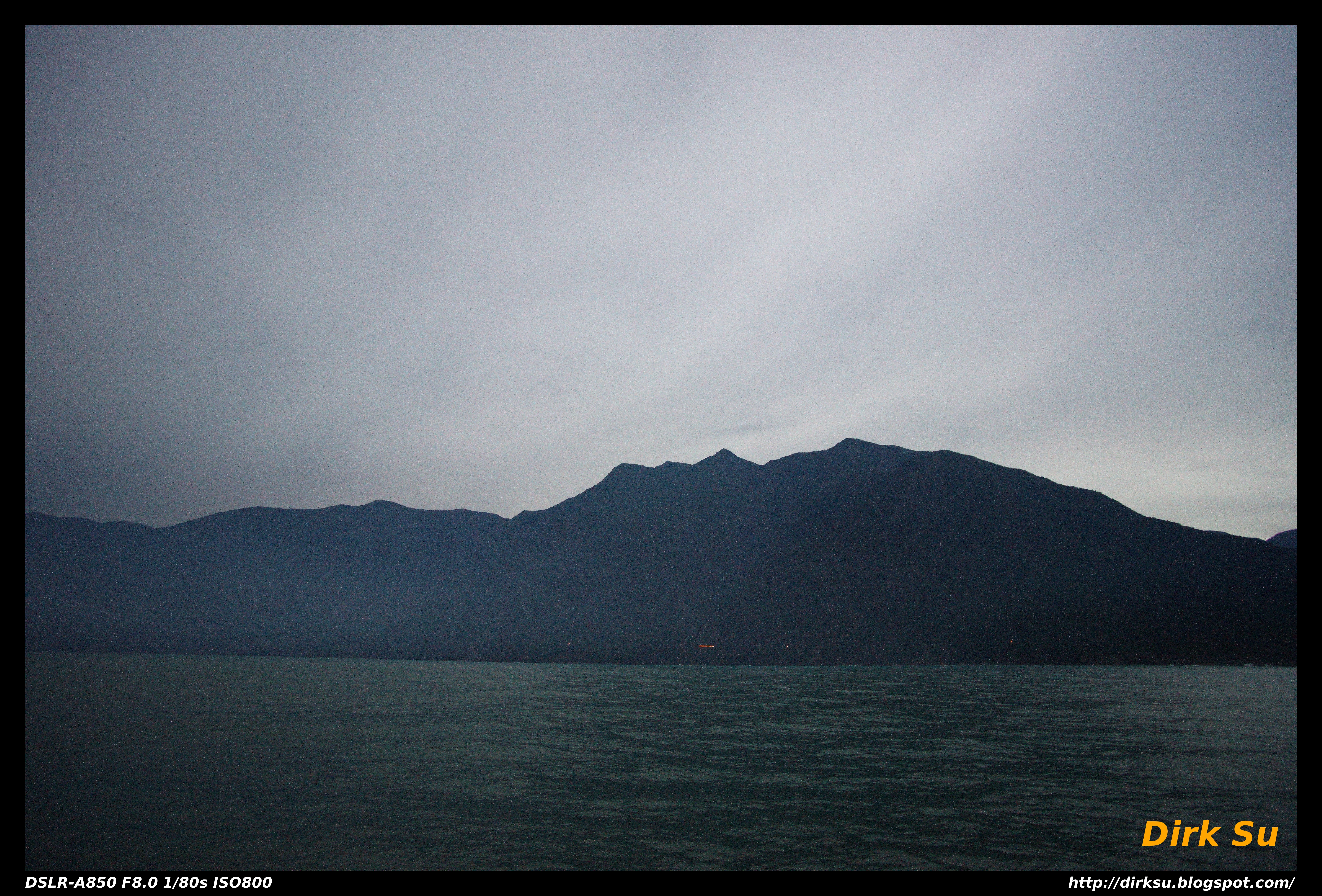
海上看蘇花41

Taiwan East Coast
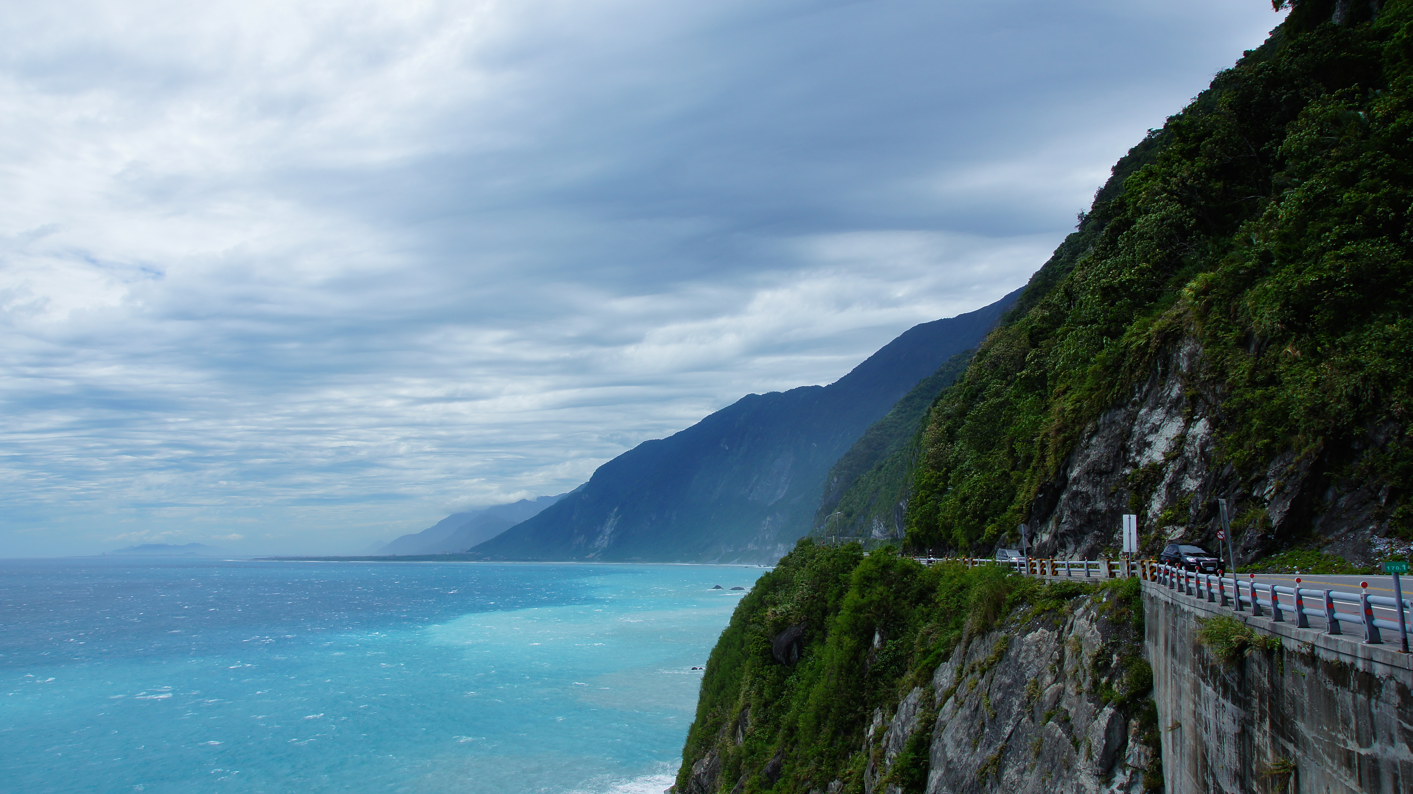
花蓮-清水斷崖

MAH06700(12)
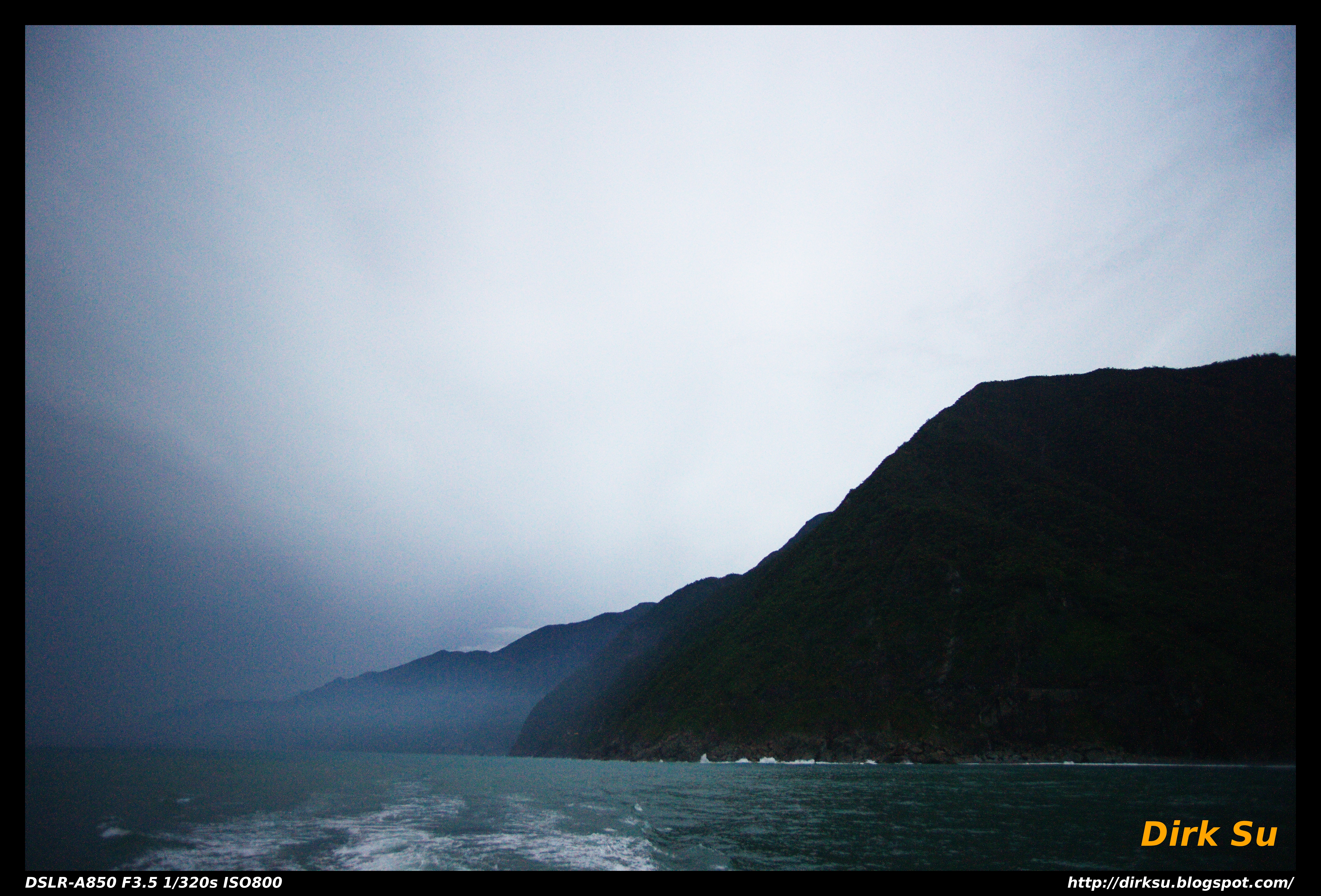
海上看蘇花38
花蓮攀岩33

蘇花公路_清水斷崖(170km)
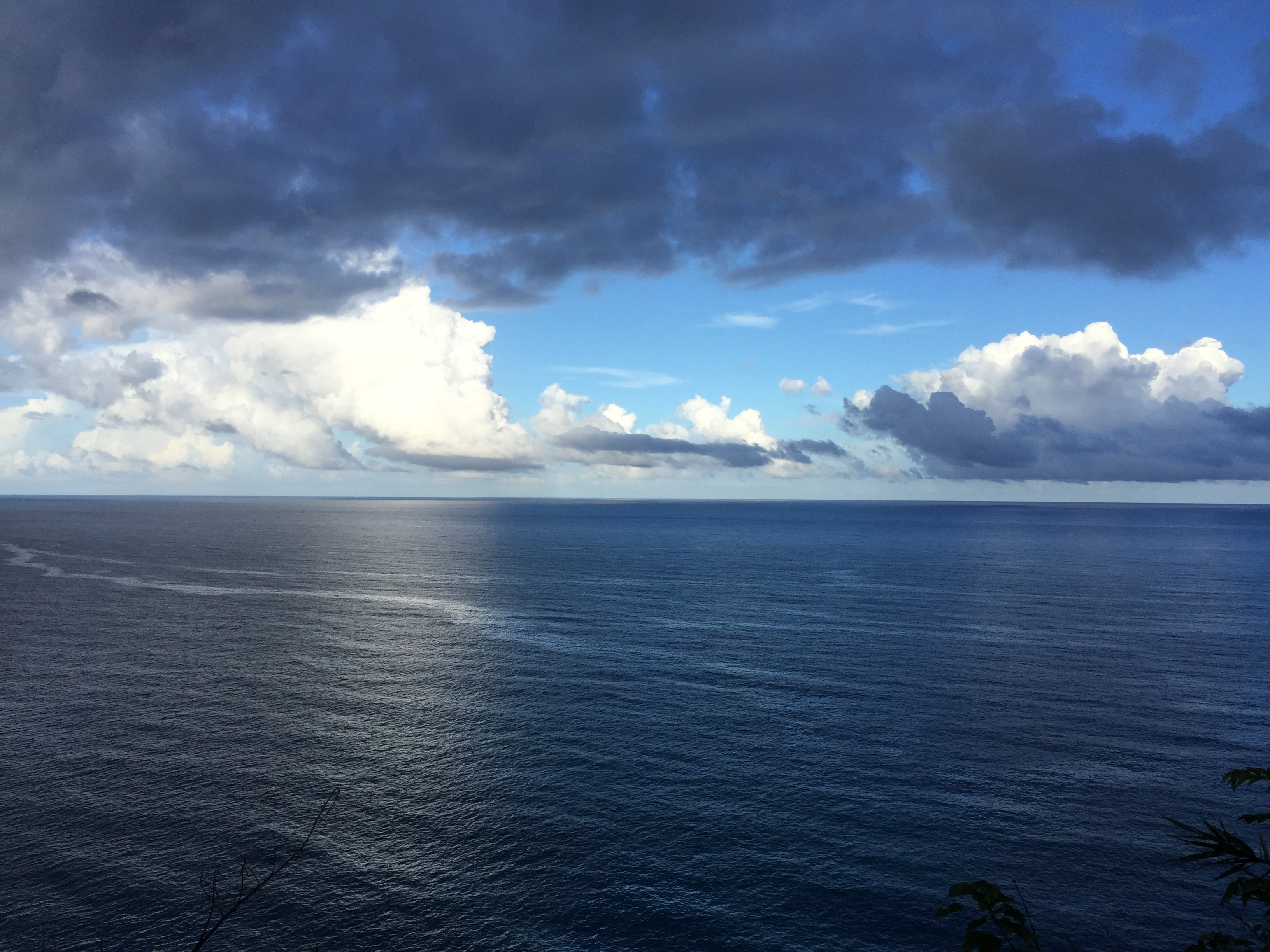
舒服的藍色

IMG_5208.jpg
Topographic Map of Taiwan, Hualien County, Xiulin Township, 32-1
Find elevation by address:

Places near Taiwan, Hualien County, Xiulin Township, 32-1:
和平
Taiwan, Yilan County, Nan'ao Township, 1
Taiwan, Yilan County, Nan'ao Township, 碧海路7號
Taiwan, Yilan County, Nan'ao Township, 谷風路1號
澳花村
No. 16, Suhua Hwy, Xiulin Township, Hualien County, Taiwan
No. 51, Suhua Hwy, Xiulin Township, Hualien County, Taiwan
和平村
No. 7, Jinyang Rd, Nan'ao Township, Yilan County, Taiwan
No. 92, Suhua Hwy, Xiulin Township, Hualien County, Taiwan
Nan'ao Township
No. 7, Hengshan Rd, Nan'ao Township, Yilan County, Taiwan
武塔村
No. 31, Xinxi Rd, Nan'ao Township, Yilan County, Taiwan
52-2
Taiwan, Hualien County, Xiulin Township, 匯德隧道40號
崇德村
南強里
朝陽里
No., Section 2, Suhua Rd, Su'ao Township, Yilan County, Taiwan
Recent Searches:
- Elevation of NY-, Friendship, NY, USA
- Elevation of 64 Danakas Dr, Winnipeg, MB R2C 5N7, Canada
- Elevation of 4 Vale Rd, Sheffield S3 9QX, UK
- Elevation of Keene Point Drive, Keene Point Dr, Grant, AL, USA
- Elevation of State St, Zanesville, OH, USA
- Elevation of Austin Stone Dr, Haslet, TX, USA
- Elevation of Bydgoszcz, Poland
- Elevation of Bydgoszcz, Poland
- Elevation of Calais Dr, Del Mar, CA, USA
- Elevation of Placer Mine Ln, West Jordan, UT, USA