Elevation of Taiwan, Tainan City, Guantian District, 南58鄉道號
Location: Taiwan > Tainan City > Guantian District > 南廍里 >
Longitude: 120.29749
Latitude: 23.214638
Elevation: 9m / 30feet
Barometric Pressure: 101KPa
Elevation Map:
Satellite Map:
Related Photos:
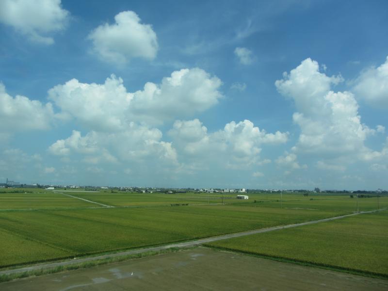
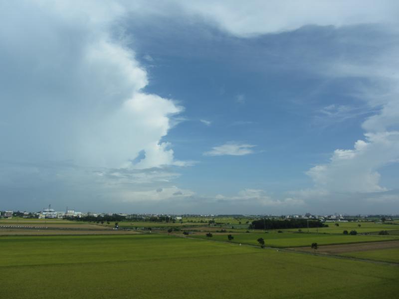
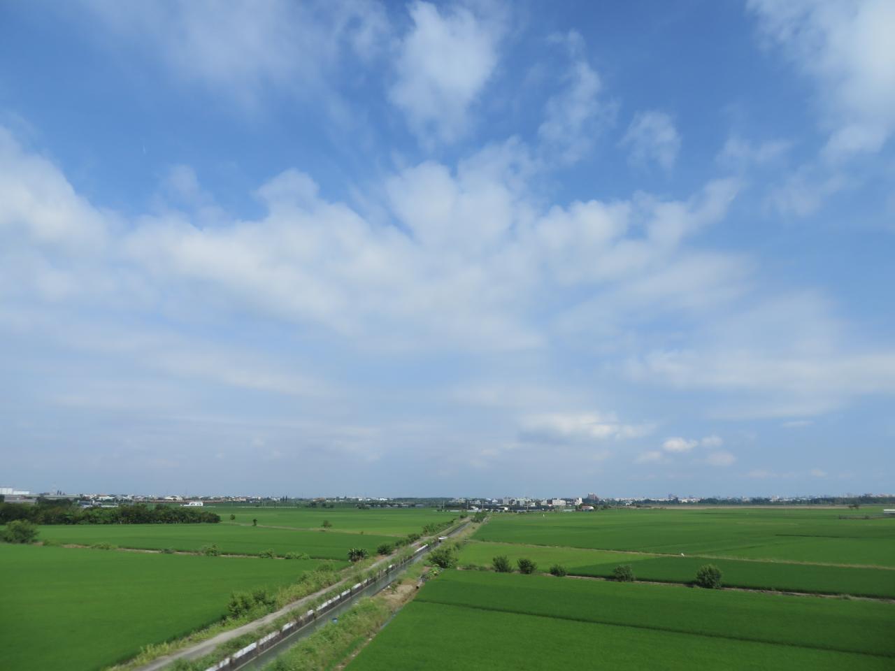
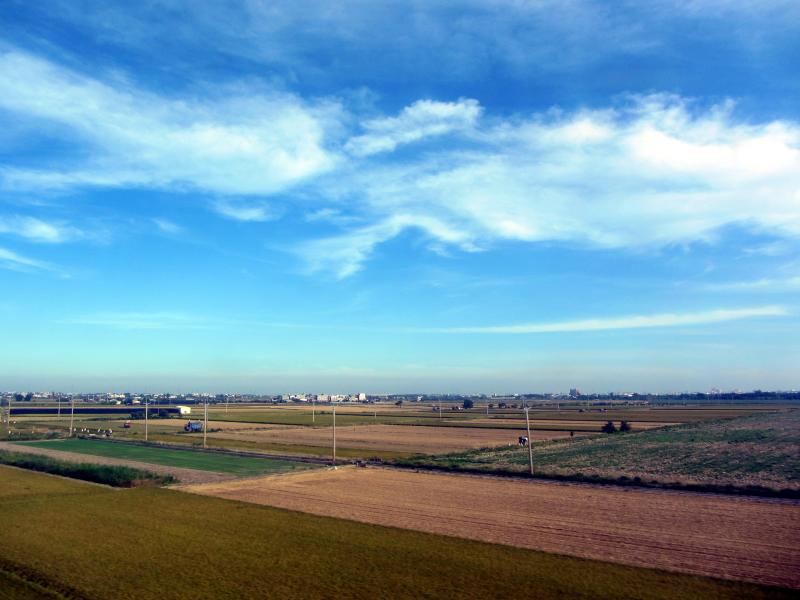
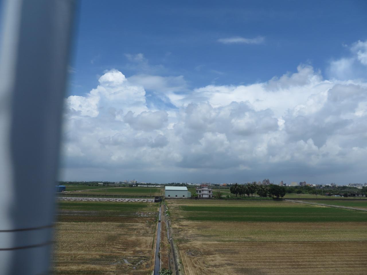
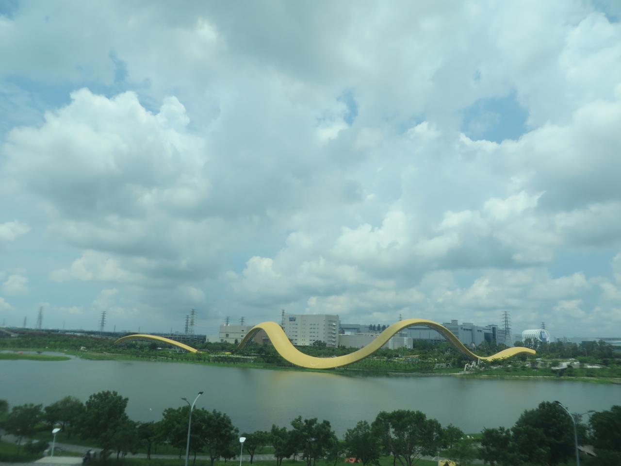
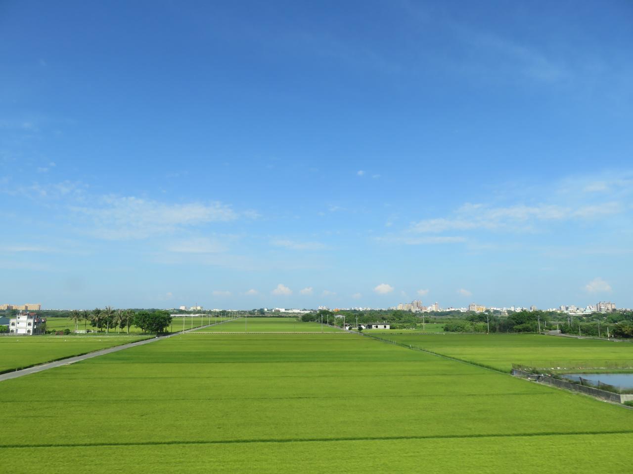
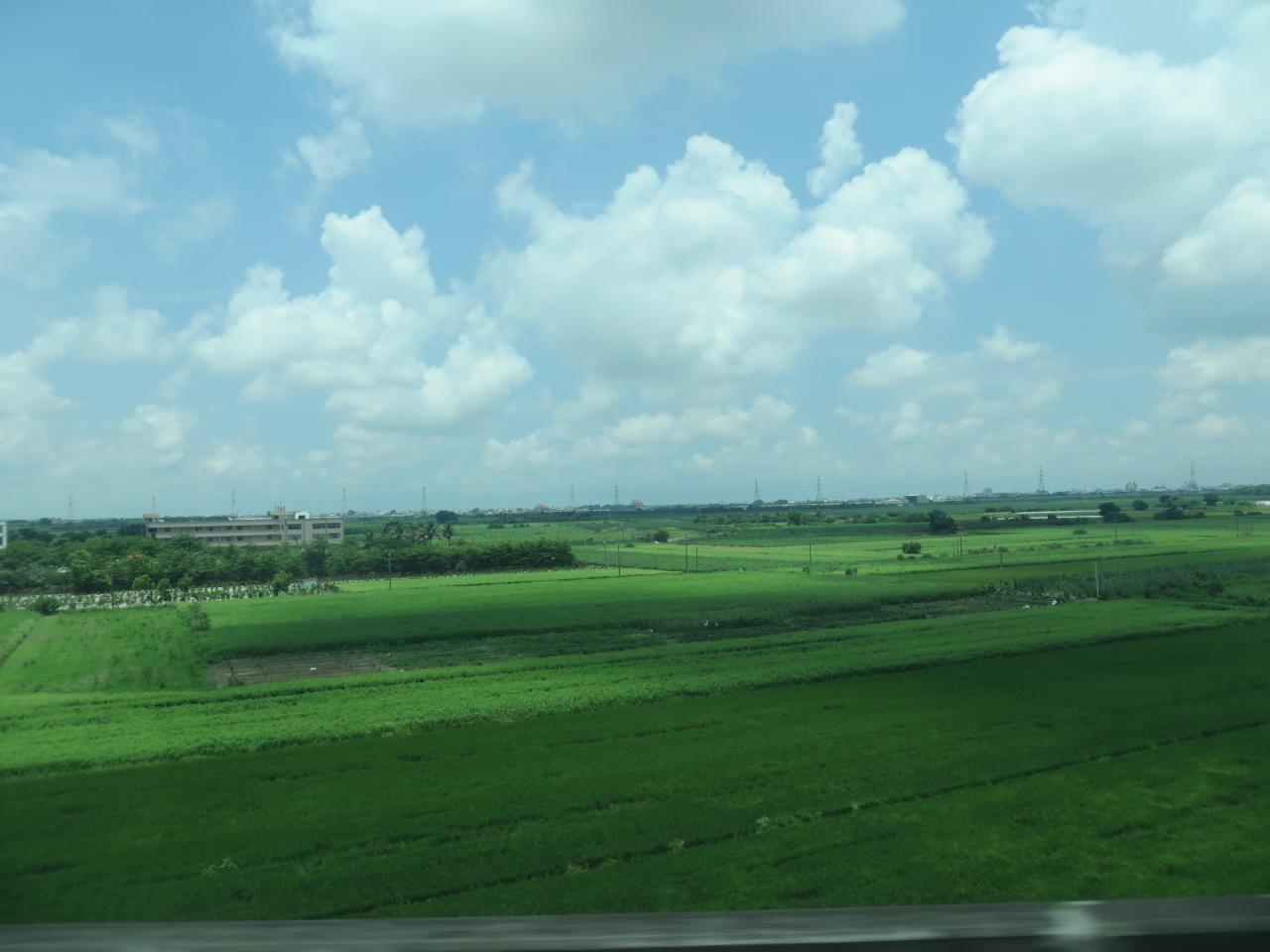
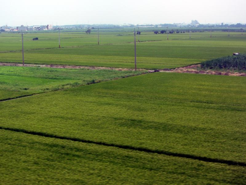
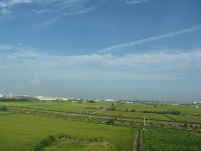
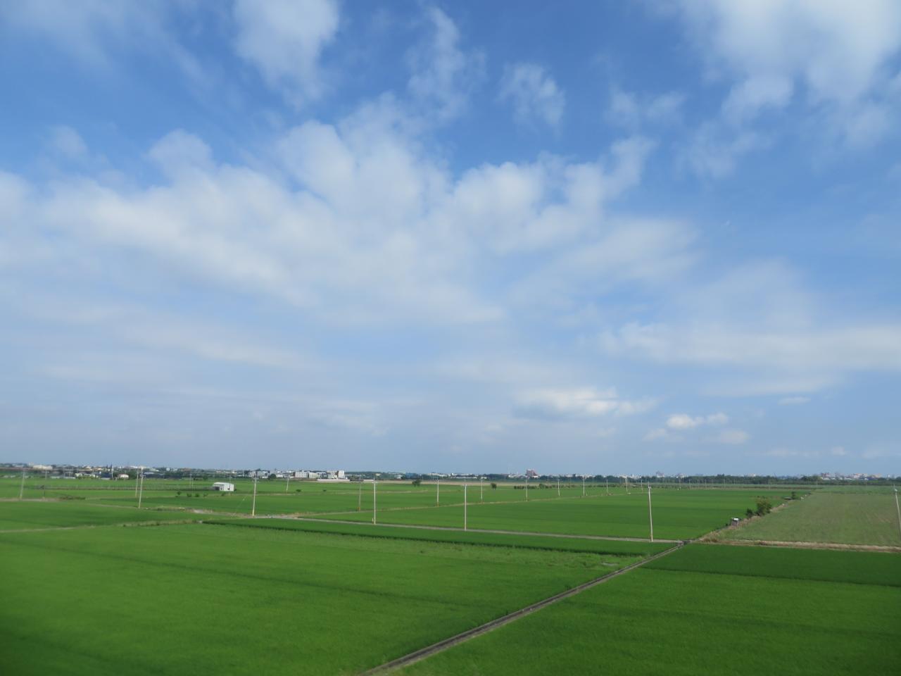
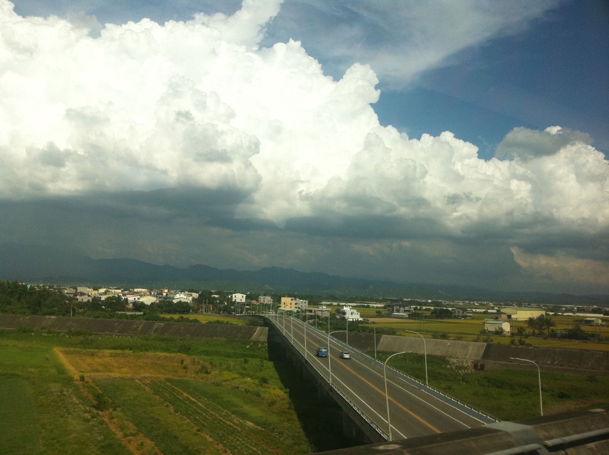
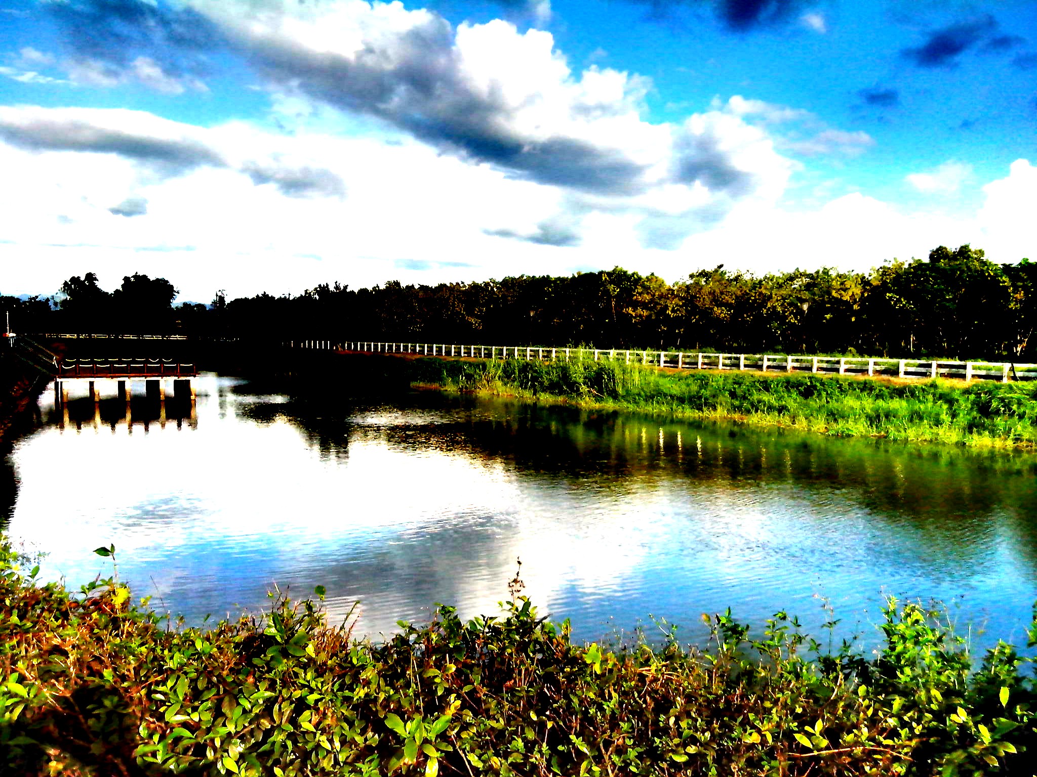
View From THSR Window

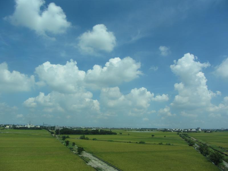
View From THSR Window
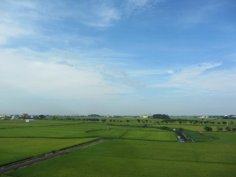
View From THSR Window
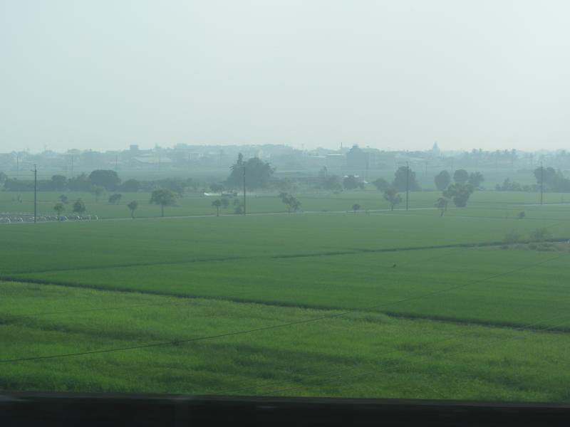
View From THSR Window
View From THSR Window
View From THSR Window

View From THSR Window

View From THSR Window

View From THSR Window
View From THSR Window
View From THSR Window
View From THSR Window
View From THSR Window
View From THSR Window

View From THSR Window

View From THSR Window
View From THSR Window
View From THSR Window
View From THSR Window
View From THSR Window
View From THSR Window

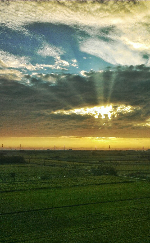
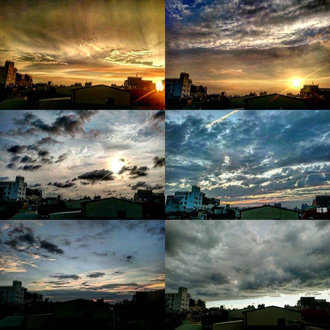
夏季雲
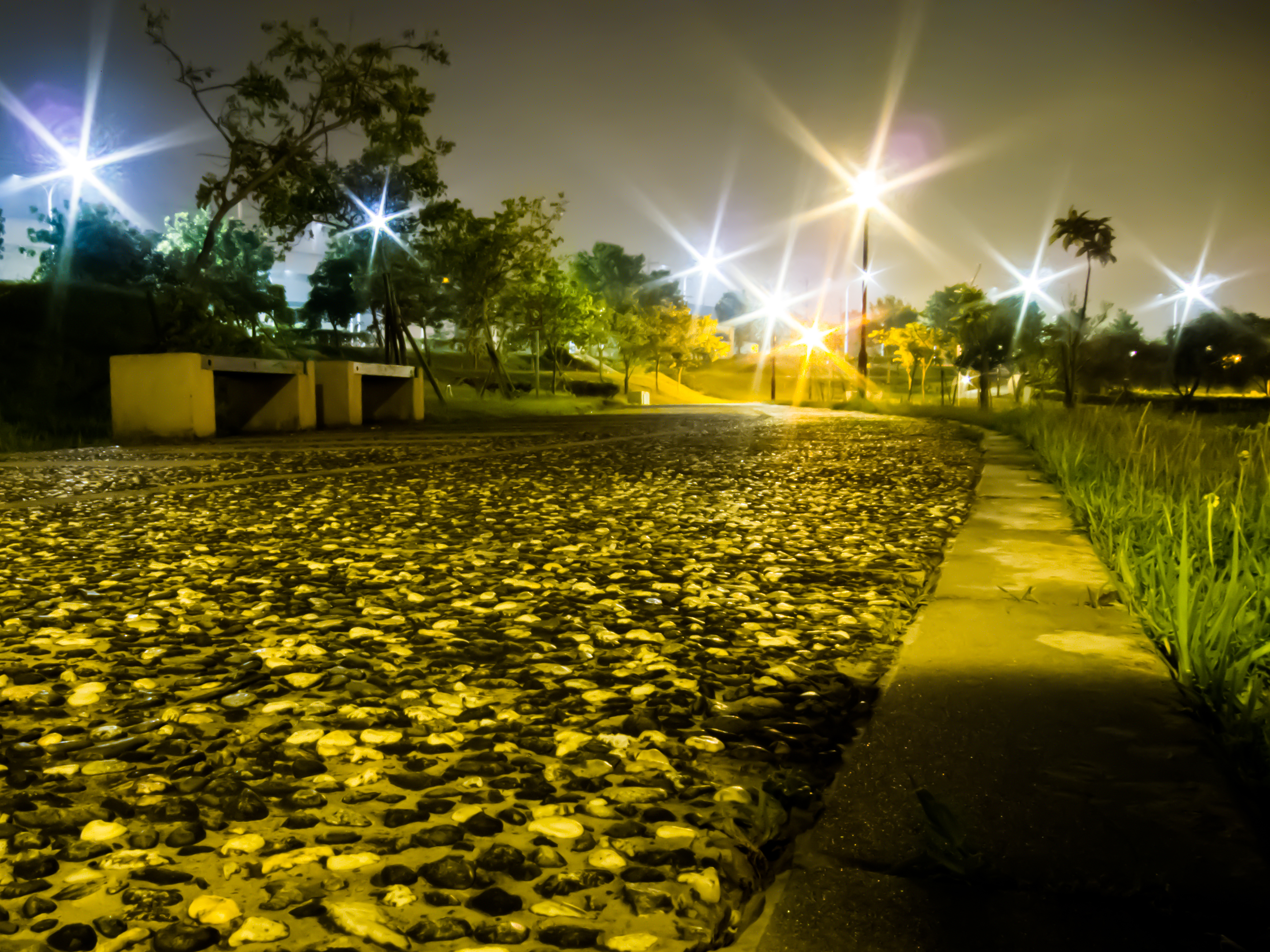
6-12-2011 15-11-00
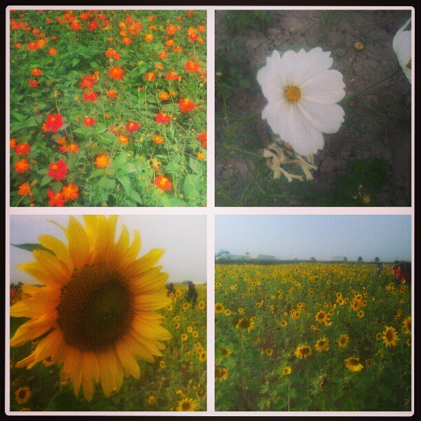
20140623柳營荷蘭村
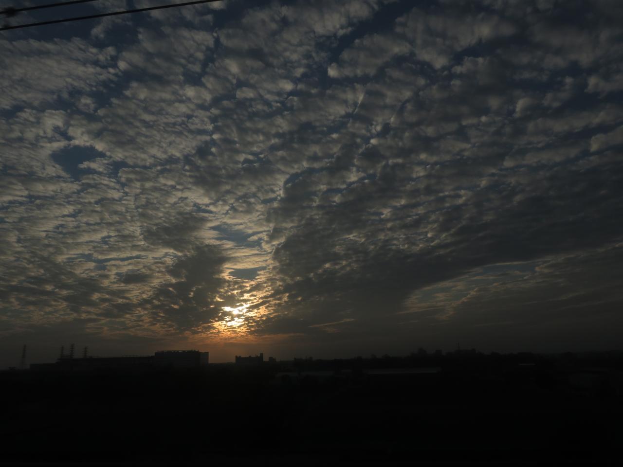
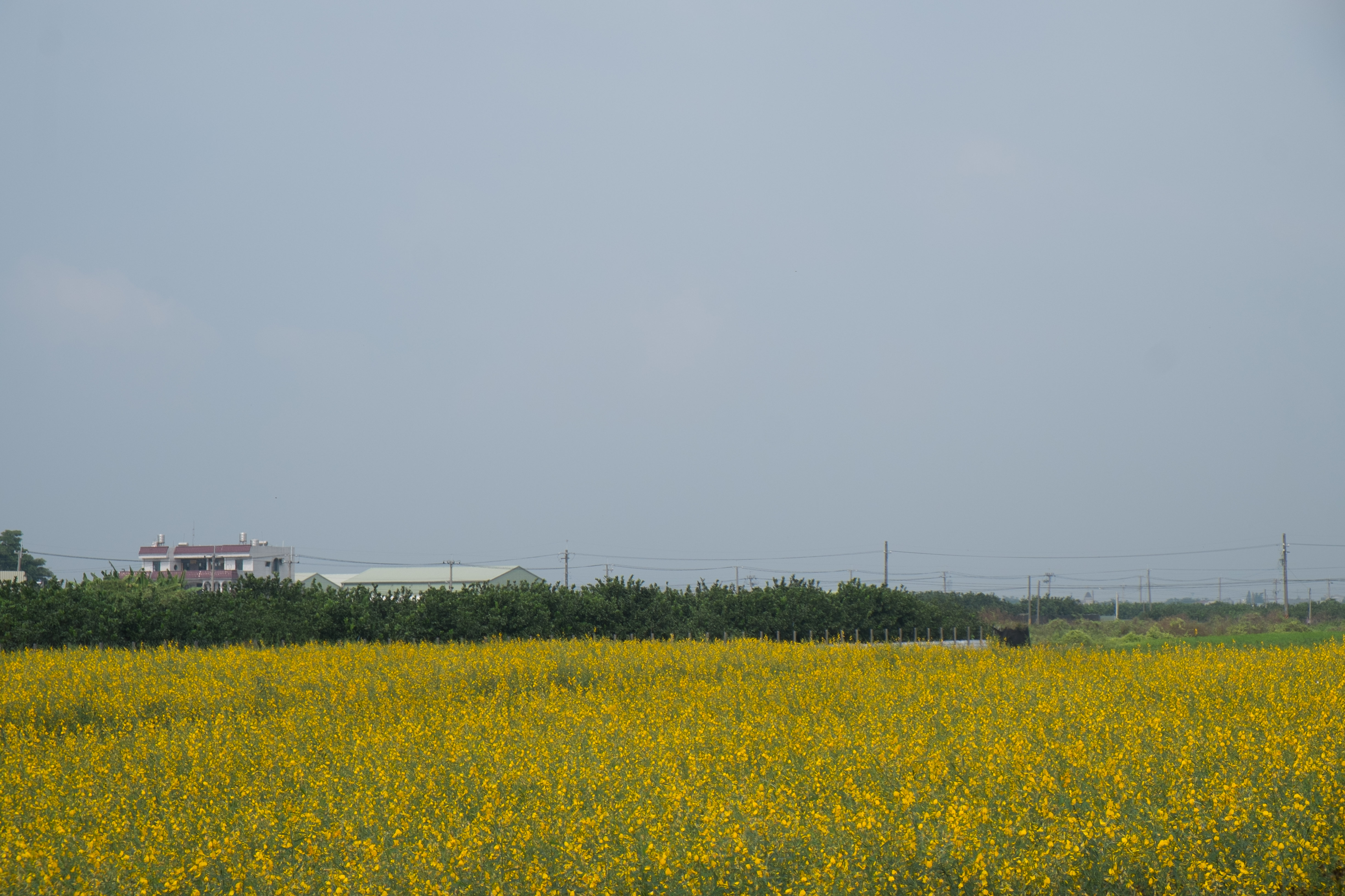
Check This Out On The Road Clouds And Sky Rural Landscape Sunset

IMG_8617.JPG
#sunset #movingtrees #freeway #tainancity #taiwan
大樓、房子一間間的蓋,或許哪一天就再也看不到這種景色了吧!?

IMG_3527-1
#夕陽#黄昏#城市#新營#台南#台灣 #sunset#city#xinying#tainan#taiwan 捕捉夕陽
IMG_1702.jpg
好美喔!

麥香。
20141101111007_X-E1_18-55LR_DSCF8617
Topographic Map of Taiwan, Tainan City, Guantian District, 南58鄉道號
Find elevation by address:

Places near Taiwan, Tainan City, Guantian District, 南58鄉道號:
南廍里
Taiwan, Tainan City, Xiaying District, 南58鄉道號
菁埔里
No. 32, Gongye W Rd, Guantian District, Tainan City, Taiwan
Taiwan, Tainan City, Liujia District, 南60鄉道5號
二鎮里
Xiaying District
Taiwan, Tainan City, Xiaying District, 南54鄉道10號
賀建里
西連里
Taiwan, Tainan City, Xiaying District, 南69鄉道45號
Liujia District
湖山里
Taiwan, Tainan City, Guantian District, 縣道62號
八翁里
北勢寮
No. 28, Lane, Section 3, Zhongshan W Rd, Liuying District, Tainan City, Taiwan
北勢里
士林里
五興里
Recent Searches:
- Elevation of Elwyn Dr, Roanoke Rapids, NC, USA
- Elevation of Congressional Dr, Stevensville, MD, USA
- Elevation of Bellview Rd, McLean, VA, USA
- Elevation of Stage Island Rd, Chatham, MA, USA
- Elevation of Shibuya Scramble Crossing, 21 Udagawacho, Shibuya City, Tokyo -, Japan
- Elevation of Jadagoniai, Kaunas District Municipality, Lithuania
- Elevation of Pagonija rock, Kranto 7-oji g. 8"N, Kaunas, Lithuania
- Elevation of Co Rd 87, Jamestown, CO, USA
- Elevation of Tenjo, Cundinamarca, Colombia
- Elevation of Côte-des-Neiges, Montreal, QC H4A 3J6, Canada