Elevation of No. 28, Lane, Section 3, Zhongshan W Rd, Liuying District, Tainan City, Taiwan
Location: Taiwan > Tainan City > Liuying District > 八翁里 >
Longitude: 120.296397
Latitude: 23.2756659
Elevation: 11m / 36feet
Barometric Pressure: 101KPa
Elevation Map:
Satellite Map:
Related Photos:
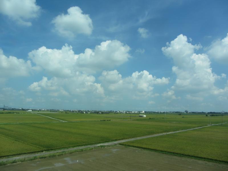
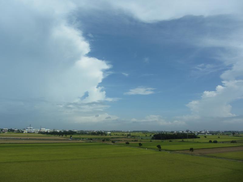
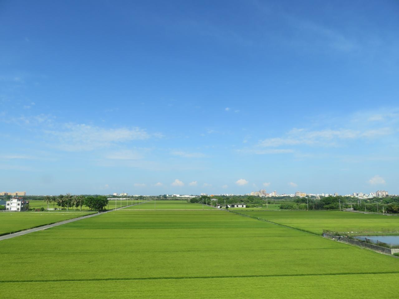
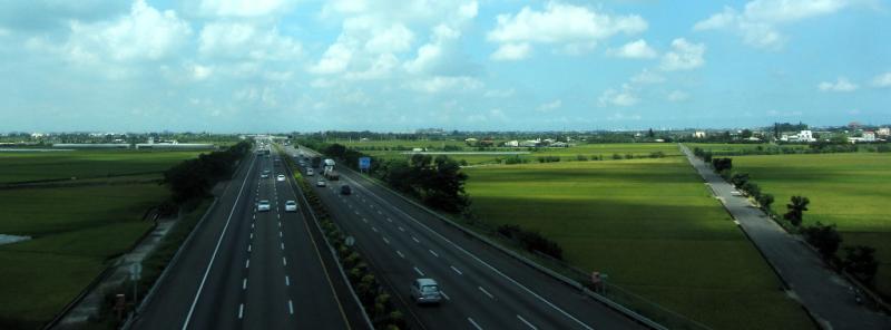
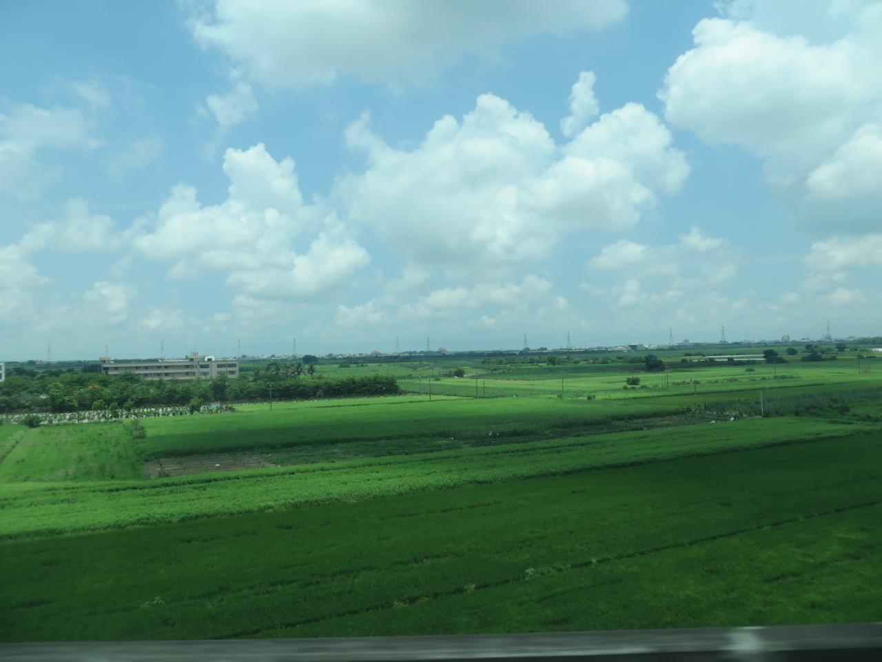
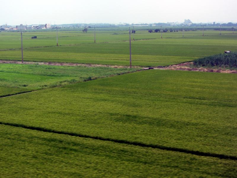
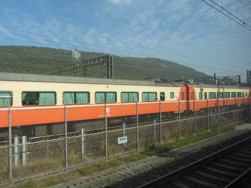
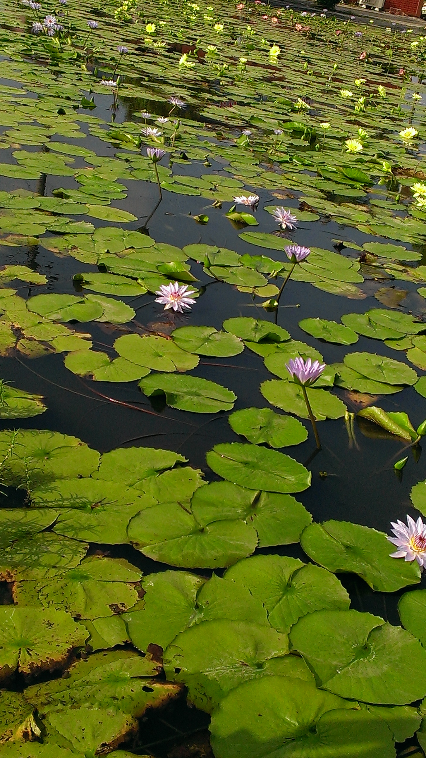
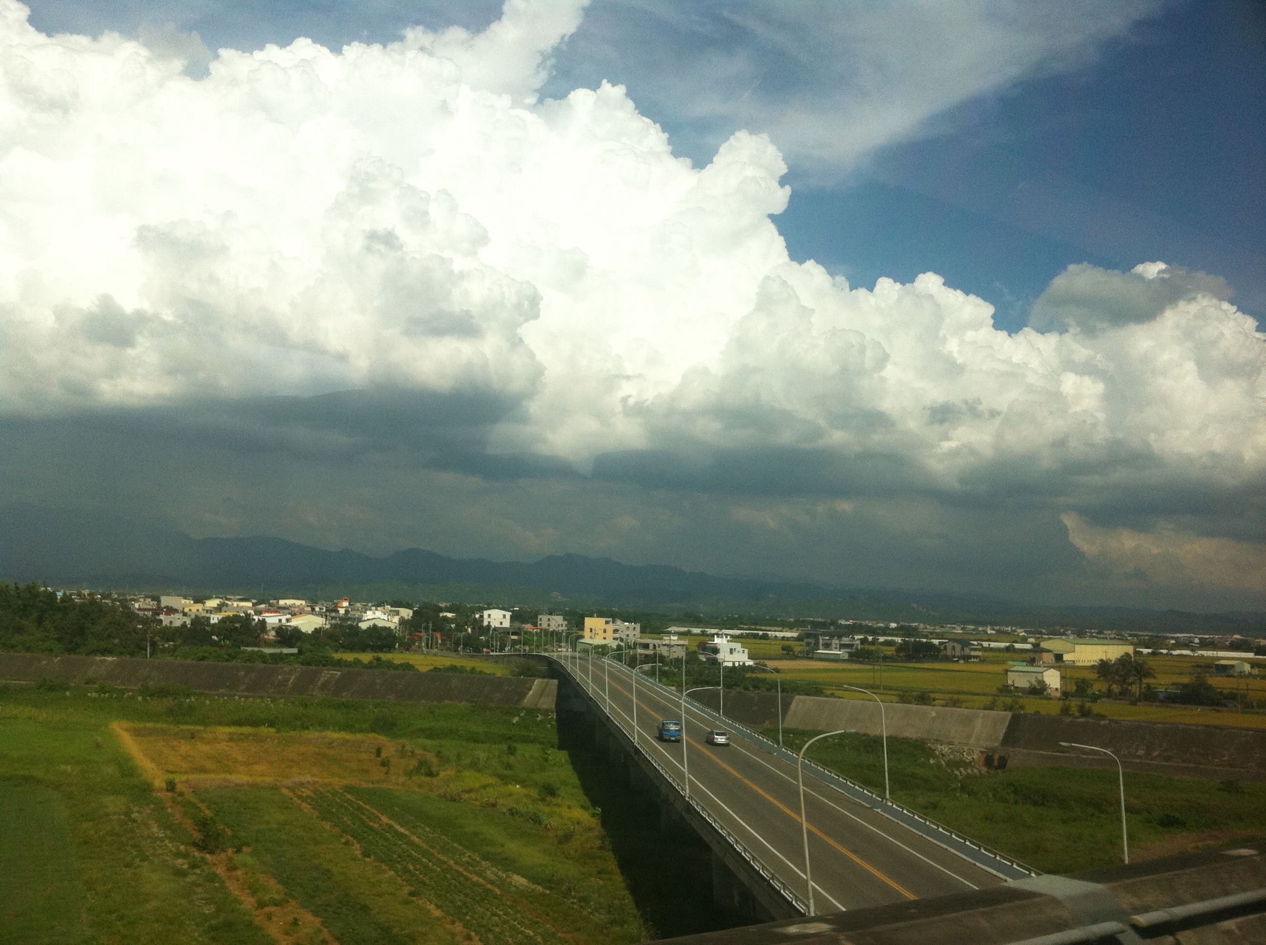
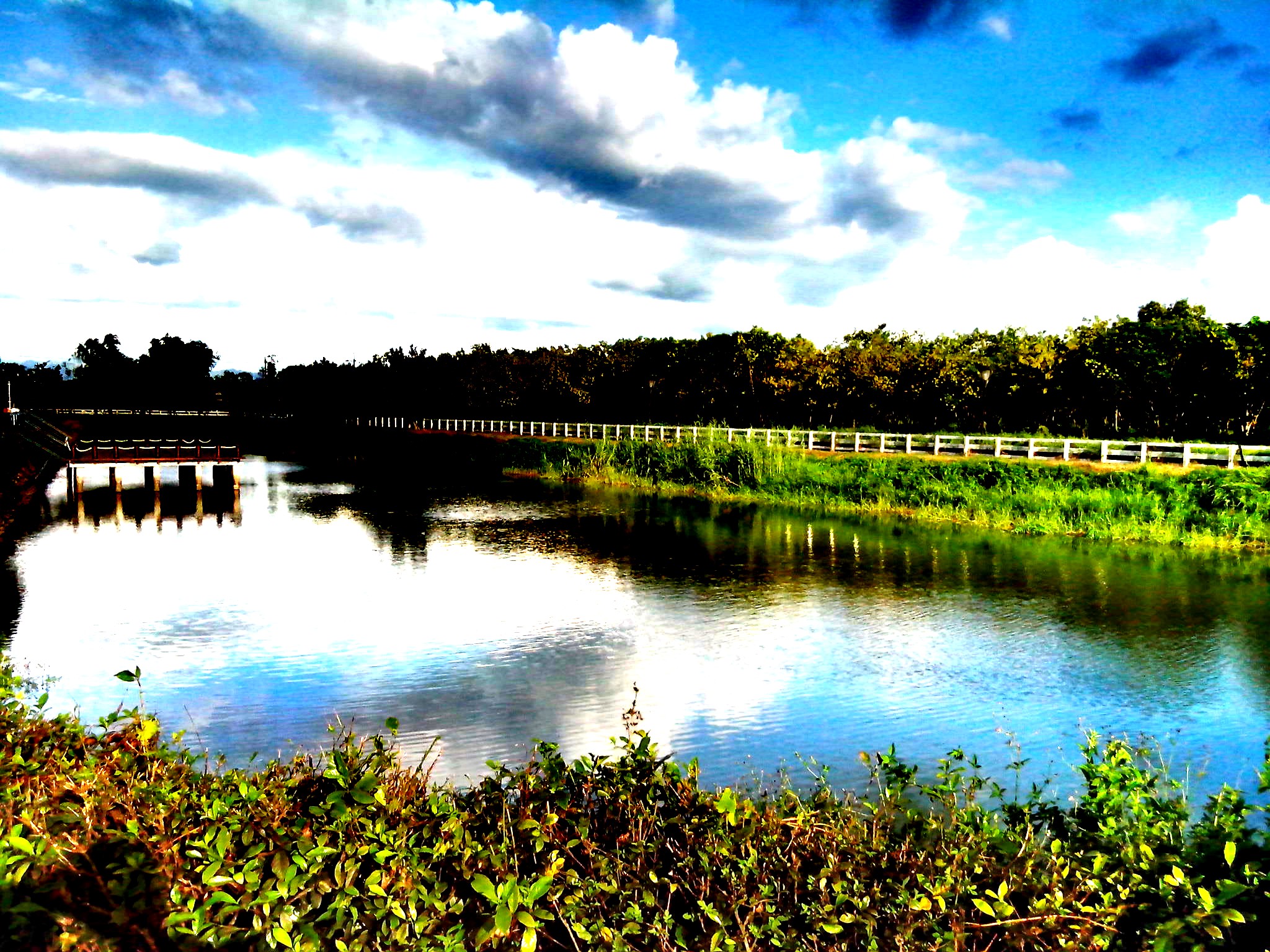
View From THSR Window

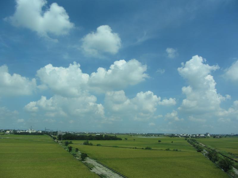
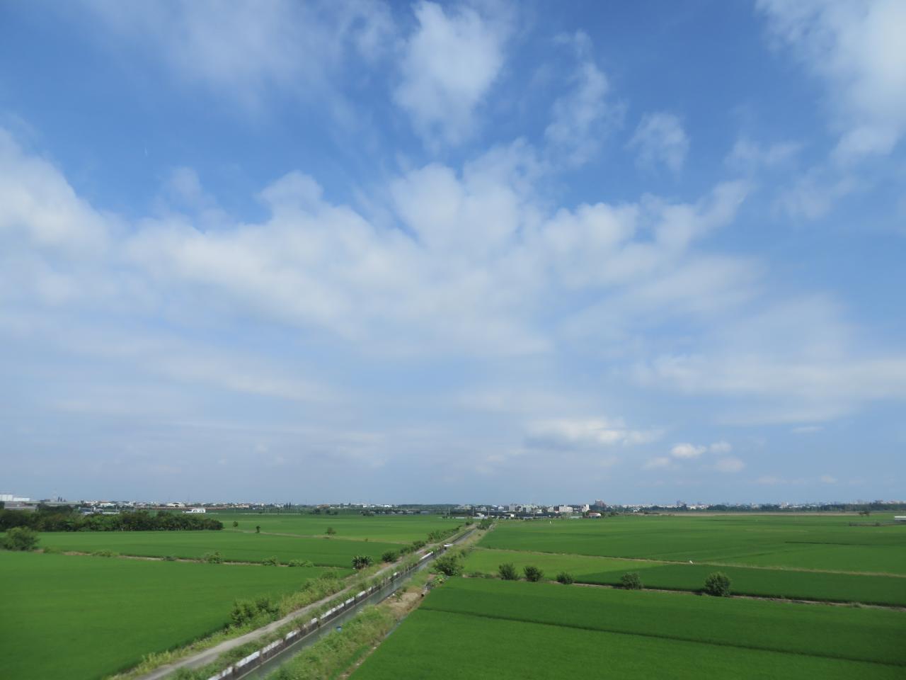
View From THSR Window
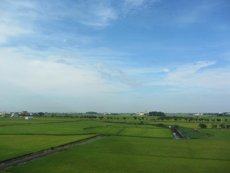
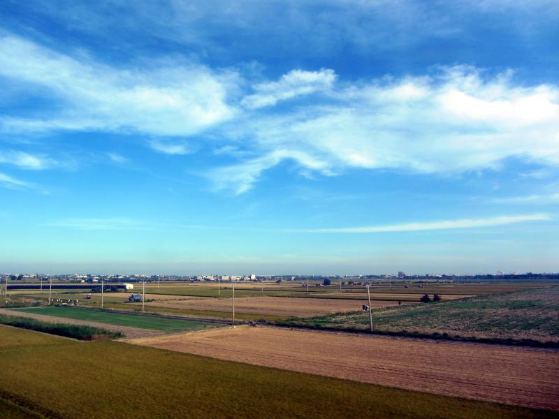
View From THSR Window
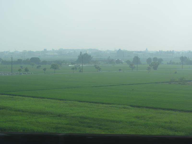
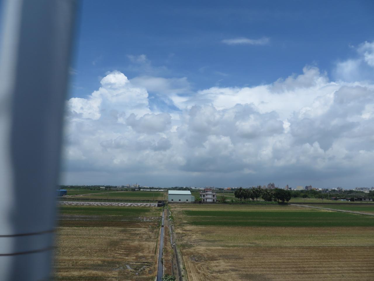
View From THSR Window
View From THSR Window
View From THSR Window

View From THSR Window

View From THSR Window

View From THSR Window
View From THSR Window
View From THSR Window
View From THSR Window

View From THSR Window

View From THSR Window
View From THSR Window
View From THSR Window
View From THSR Window
View From THSR Window

View From THSR Window
View From THSR Window
View From THSR Window

珍惜~~(有種顧目睛的TONE調!!

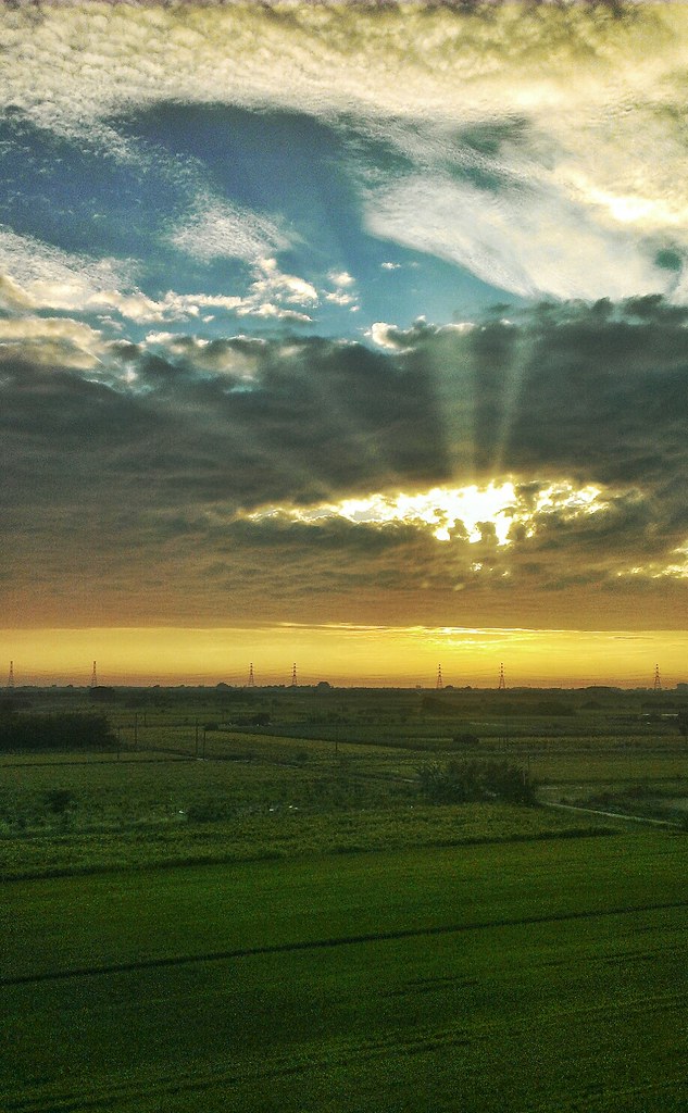
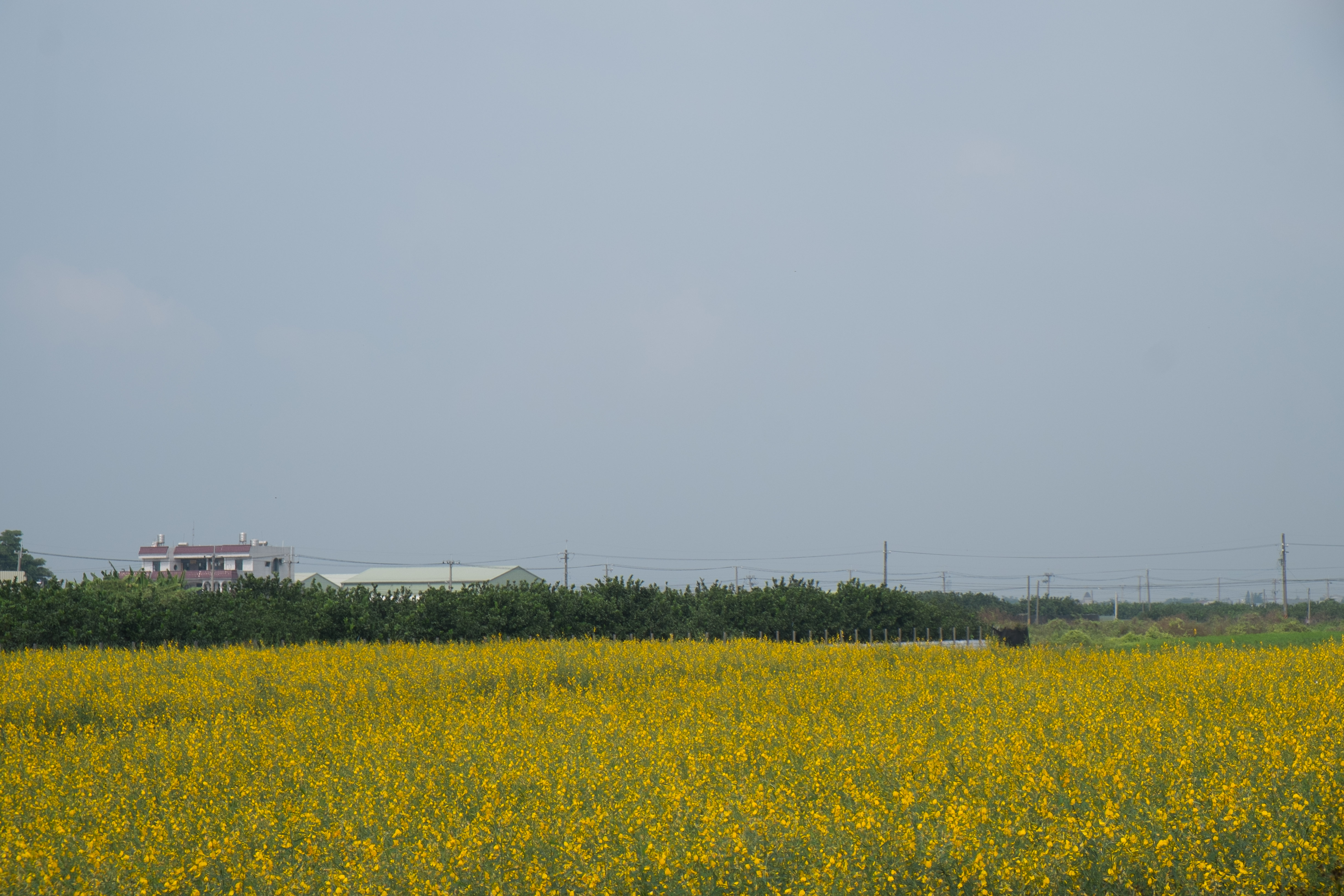
很有 Fu 的田
白河+玉井一曰遊

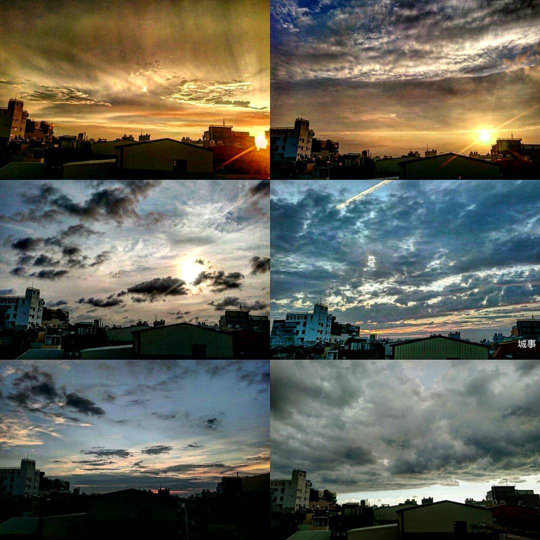
夏季雲

IMG_3527-1

TW2013_1230-12-164

IMG_8725.JPG
6-12-2011 15-11-00
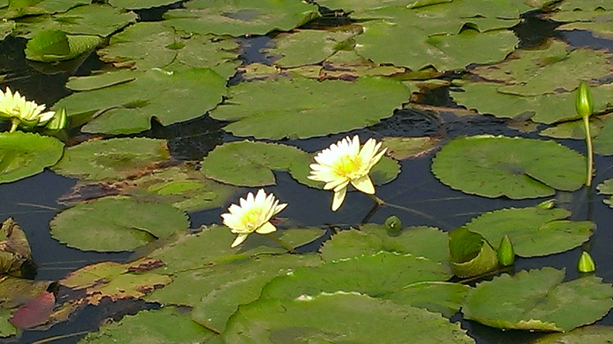
20140623柳營荷蘭村
#夕陽#黄昏#城市#新營#台南#台灣 #sunset#city#xinying#tainan#taiwan 捕捉夕陽

IMG_8726.JPG
Check This Out On The Road Clouds And Sky Rural Landscape Sunset
白河+玉井一曰遊

麥香。
20141101111007_X-E1_18-55LR_DSCF8617
Topographic Map of No. 28, Lane, Section 3, Zhongshan W Rd, Liuying District, Tainan City, Taiwan
Find elevation by address:

Places near No. 28, Lane, Section 3, Zhongshan W Rd, Liuying District, Tainan City, Taiwan:
八翁里
士林里
人和里
No. 41, Bo'ai St, Liuying District, Tainan City, Taiwan
Taiwan, Tainan City, Xinying District, 61
No., Section 3, Liuying Rd, Liuying District, Tainan City, Taiwan
五興里
五間厝
Taiwan, Tainan City, Xiaying District, 南69鄉道45號
賀建里
45-2
太北里
Taiwan, Tainan City, Liuying District, 54
民權里
新營
Taiwan, Tainan City, Xinying District, 南73鄉道47號
Xinying District
Taiwan, Tainan City, Liujia District, 南60鄉道5號
太康里
姑爺里
Recent Searches:
- Elevation of Lampiasi St, Sarasota, FL, USA
- Elevation of Elwyn Dr, Roanoke Rapids, NC, USA
- Elevation of Congressional Dr, Stevensville, MD, USA
- Elevation of Bellview Rd, McLean, VA, USA
- Elevation of Stage Island Rd, Chatham, MA, USA
- Elevation of Shibuya Scramble Crossing, 21 Udagawacho, Shibuya City, Tokyo -, Japan
- Elevation of Jadagoniai, Kaunas District Municipality, Lithuania
- Elevation of Pagonija rock, Kranto 7-oji g. 8"N, Kaunas, Lithuania
- Elevation of Co Rd 87, Jamestown, CO, USA
- Elevation of Tenjo, Cundinamarca, Colombia