Elevation of Liuying District, Tainan City, Taiwan
Location: Taiwan > Tainan City >
Longitude: 120.355080
Latitude: 23.2806957
Elevation: 19m / 62feet
Barometric Pressure: 101KPa
Elevation Map:
Satellite Map:
Related Photos:
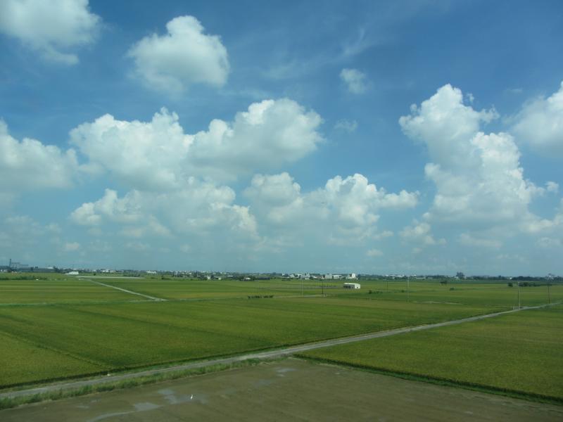
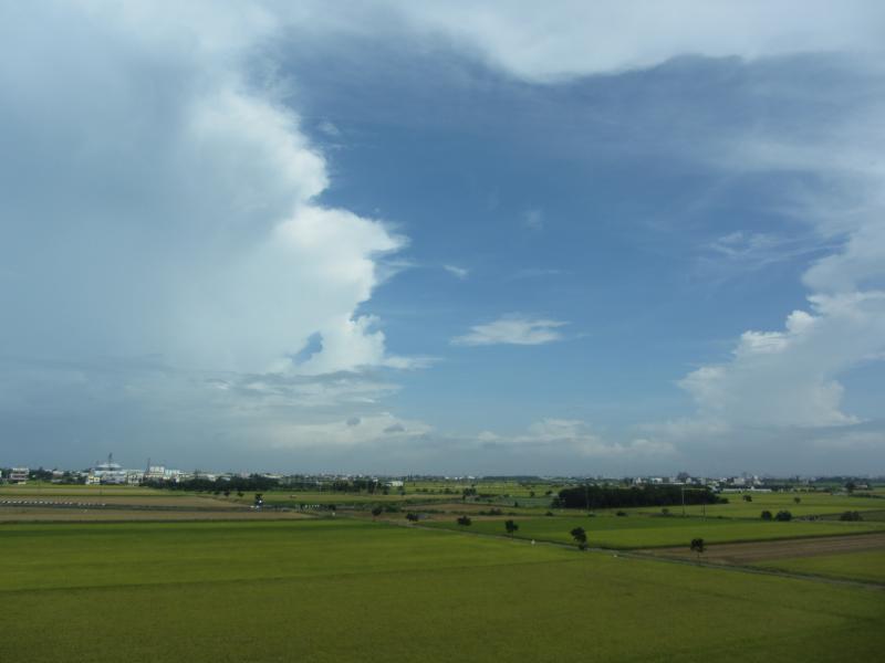
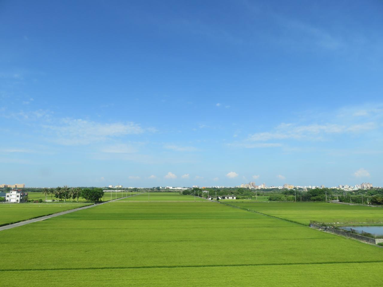
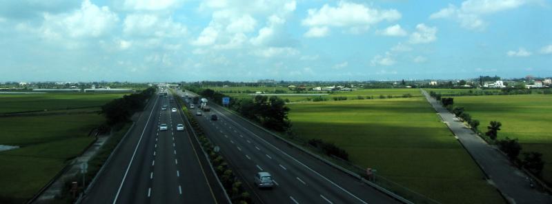
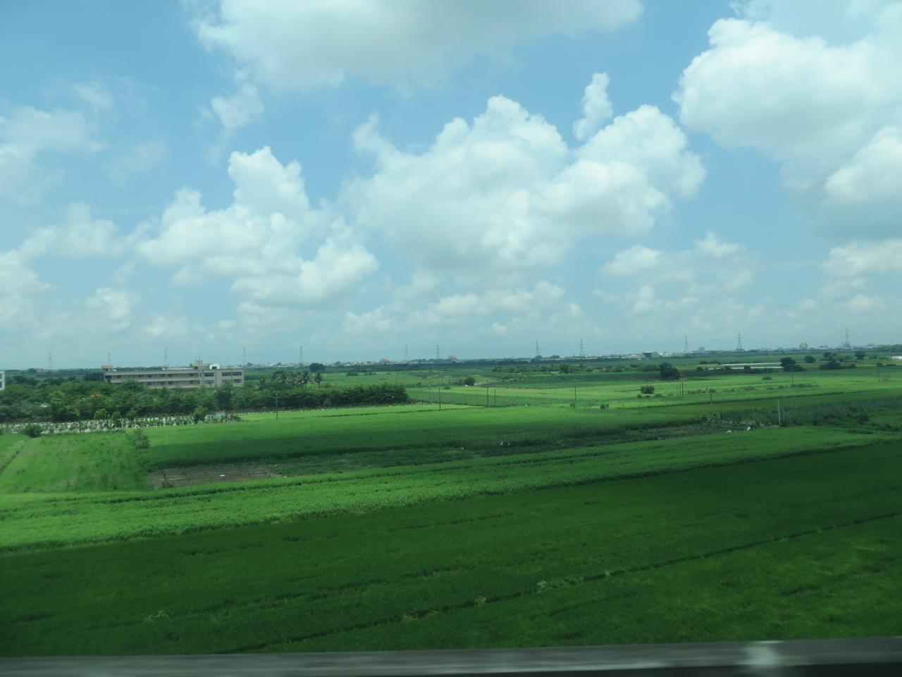
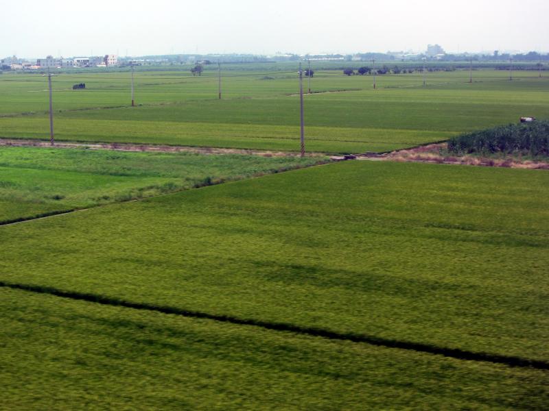
View From THSR Window

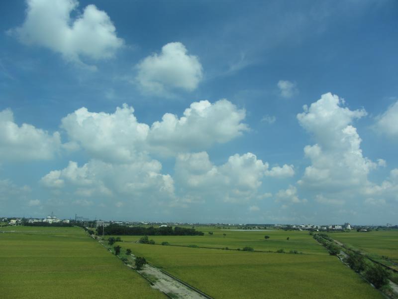
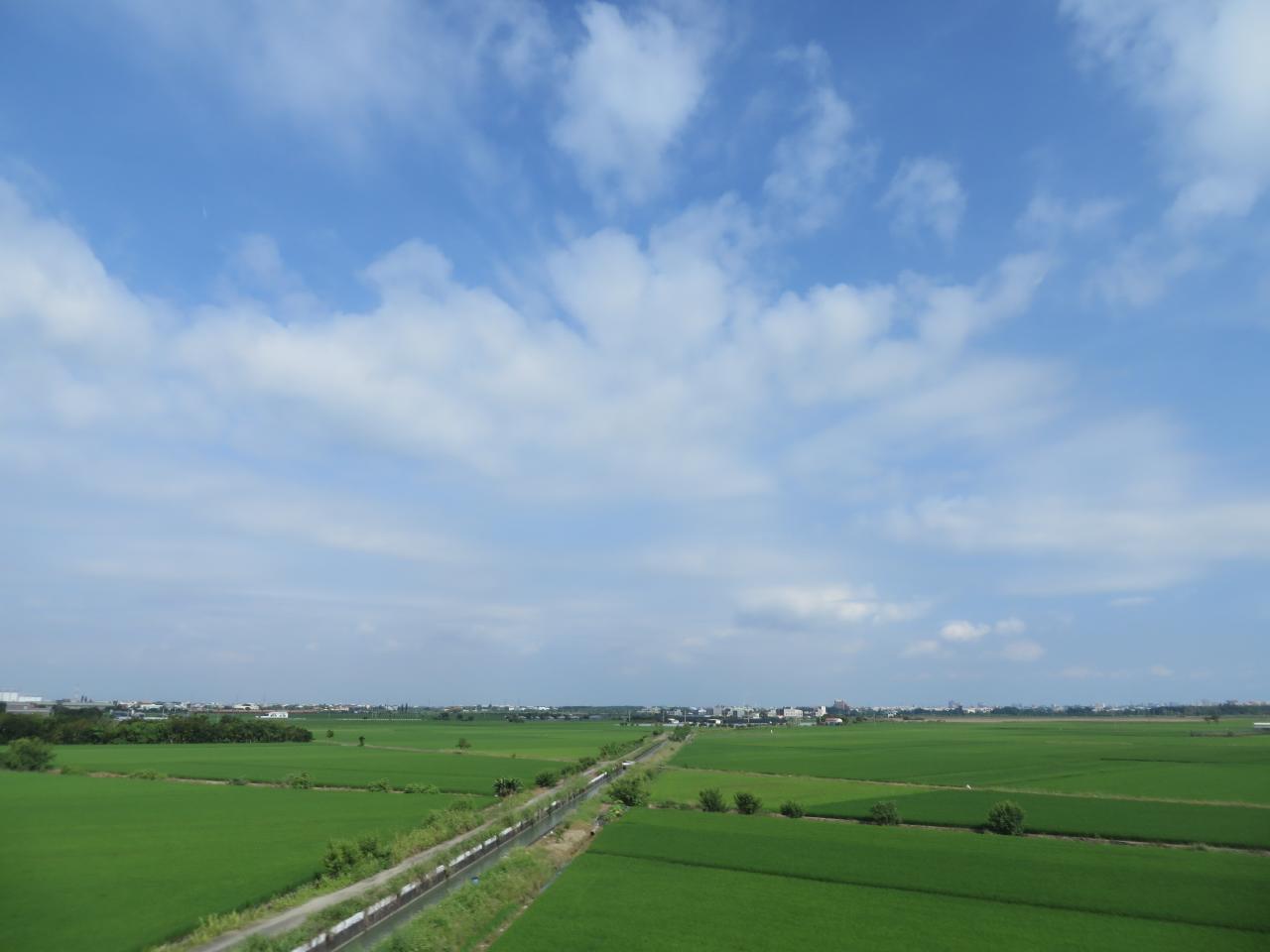
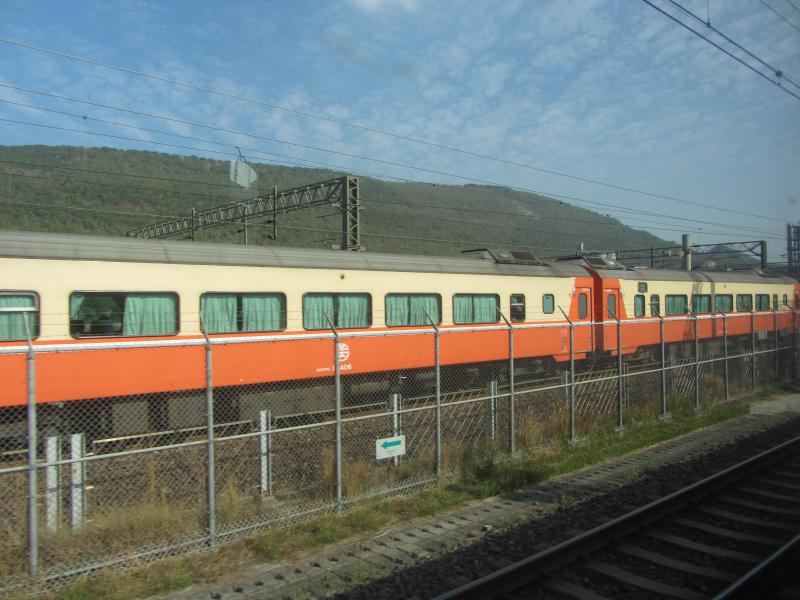
View From THSR Window
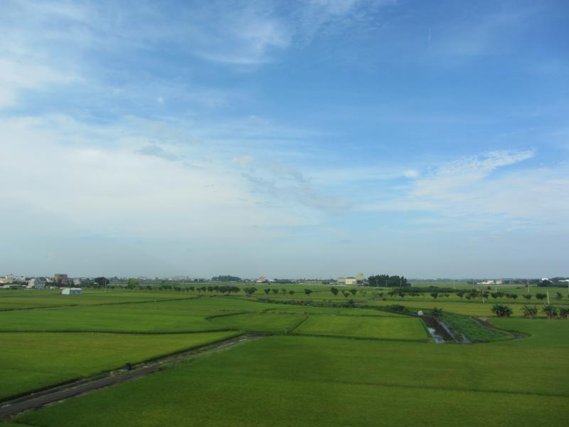
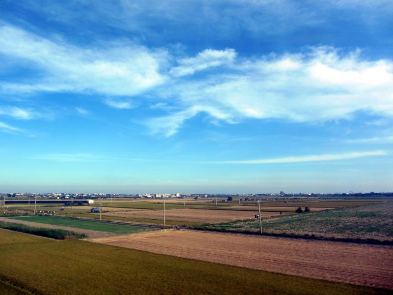
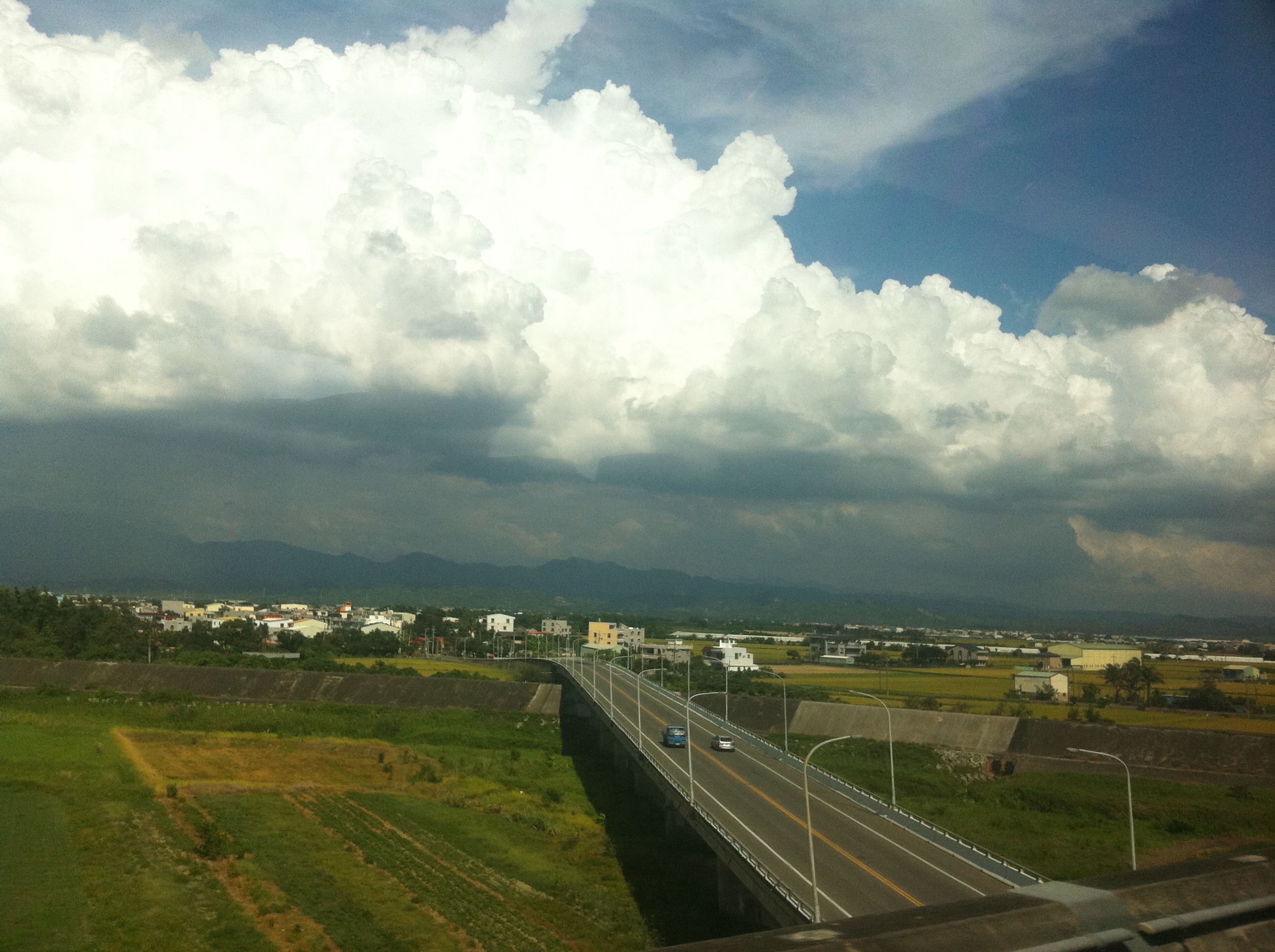
View From THSR Window
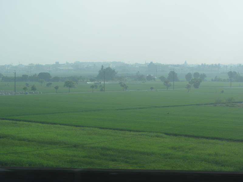
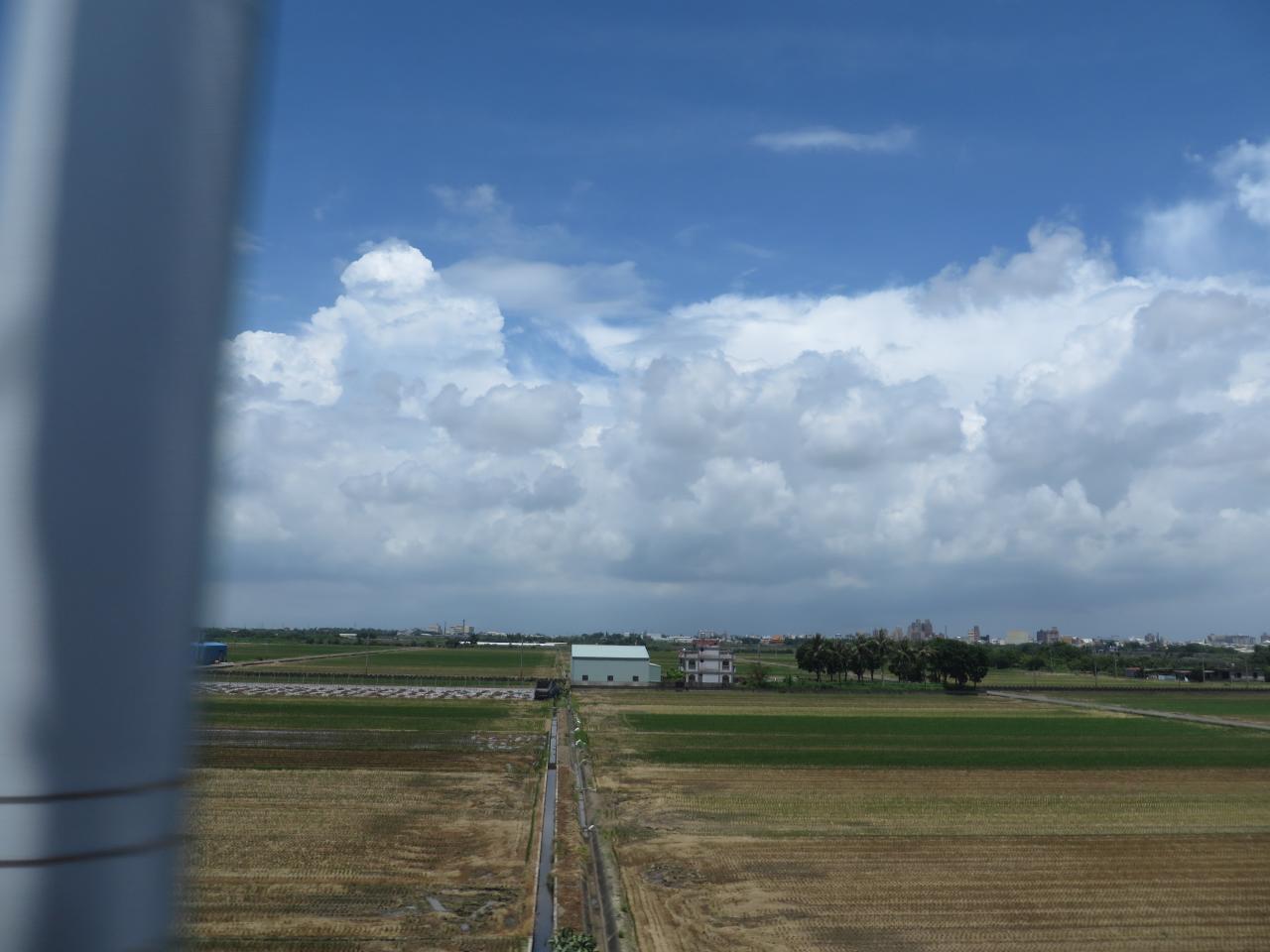
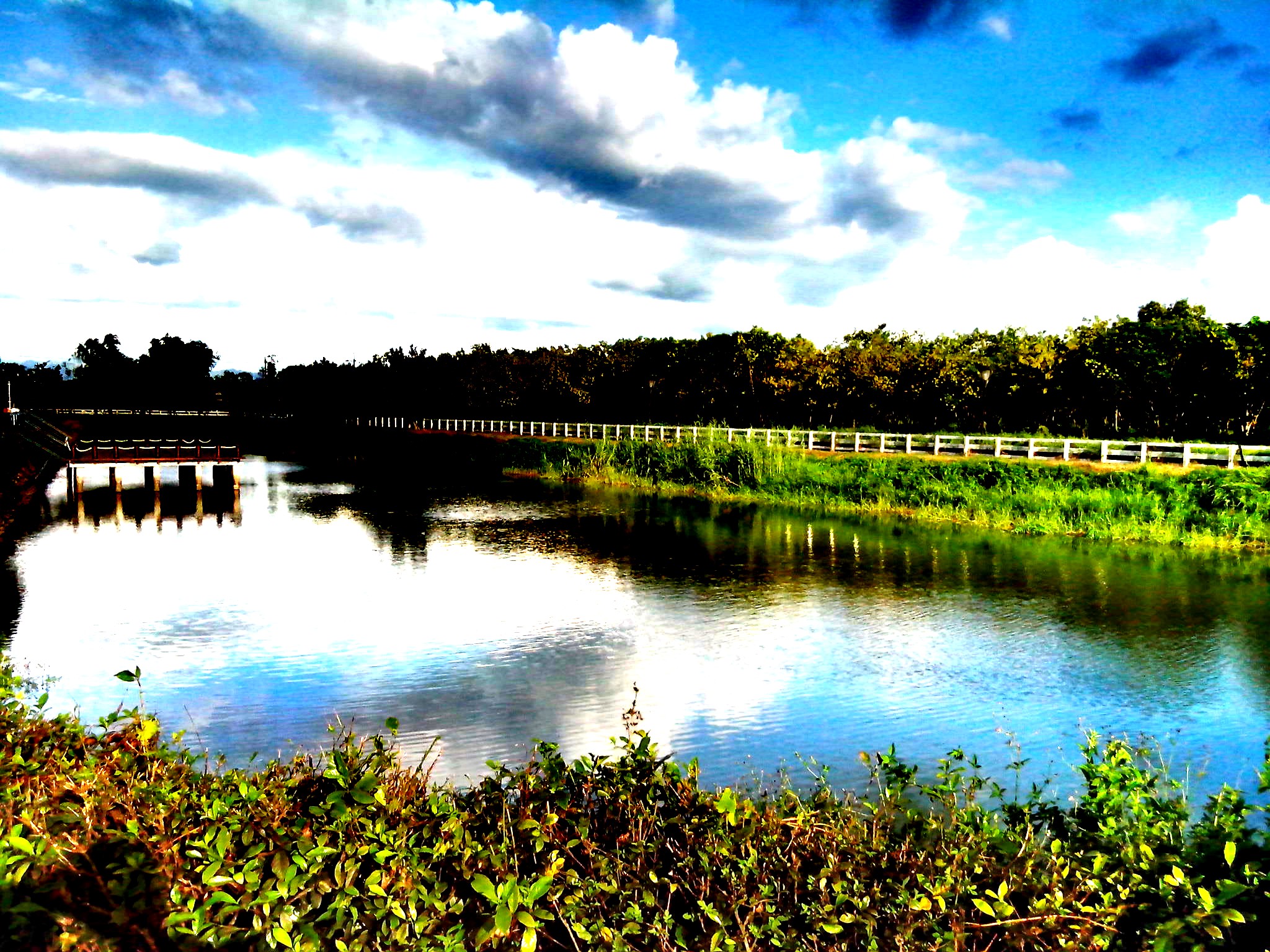
View From THSR Window
View From THSR Window
View From THSR Window

View From THSR Window

View From THSR Window

View From THSR Window
View From THSR Window
View From THSR Window
View From THSR Window

View From THSR Window

View From THSR Window
View From THSR Window
View From THSR Window
View From THSR Window
View From THSR Window

View From THSR Window
View From THSR Window
View From THSR Window

珍惜~~(有種顧目睛的TONE調!!

很有 Fu 的田

初夏的阿勃勒盛會

白河+玉井一曰遊

夏季雲

IMG_3527-1

TW2013_1230-12-164

IMG_8725.JPG
6-12-2011 15-11-00
20140623柳營荷蘭村

#夕陽#黄昏#城市#新營#台南#台灣 #sunset#city#xinying#tainan#taiwan 捕捉夕陽

IMG_8726.JPG

IMG_0160.JPG

白河+玉井一曰遊

麥香。

白河朝荷/Lotus with Sunrise
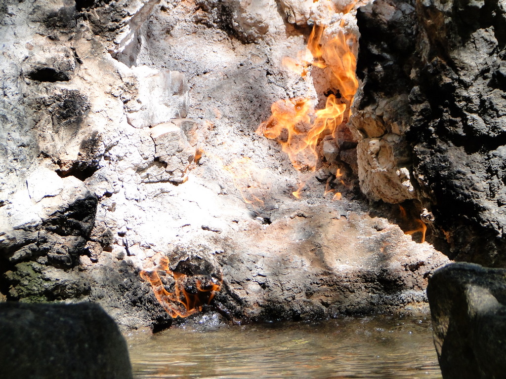
關子嶺-水火同源
Topographic Map of Liuying District, Tainan City, Taiwan
Find elevation by address:

Places in Liuying District, Tainan City, Taiwan:
Places near Liuying District, Tainan City, Taiwan:
神農里
No., Section 1, Yishi Rd, Liuying District, Tainan City, Taiwan
太康里
Taiwan, Tainan City, Liuying District, 南鄉道52號
Taiwan, Tainan City, Liuying District, 54
聖賢里
Taiwan, Tainan City, Dongshan District, 南鄉道24號
果毅里
Taiwan, Tainan City, Liuying District, 南鄉道21號
土庫里
No. 41, Bo'ai St, Liuying District, Tainan City, Taiwan
No., Section 3, Liuying Rd, Liuying District, Tainan City, Taiwan
Liujia District
士林里
No. 65, Section 1, Changrong Rd, Xinying District, Tainan City, Taiwan
337-1
民權里
新營
甲東里
No. 4, Lane, Yunong St, Liujia District, Tainan City, Taiwan
Recent Searches:
- Elevation of Leyte Industrial Development Estate, Isabel, Leyte, Philippines
- Elevation of W Granada St, Tampa, FL, USA
- Elevation of Pykes Down, Ivybridge PL21 0BY, UK
- Elevation of Jalan Senandin, Lutong, Miri, Sarawak, Malaysia
- Elevation of Bilohirs'k
- Elevation of 30 Oak Lawn Dr, Barkhamsted, CT, USA
- Elevation of Luther Road, Luther Rd, Auburn, CA, USA
- Elevation of Unnamed Road, Respublika Severnaya Osetiya — Alaniya, Russia
- Elevation of Verkhny Fiagdon, North Ossetia–Alania Republic, Russia
- Elevation of F. Viola Hiway, San Rafael, Bulacan, Philippines