Elevation of Taiwan, Kaohsiung City, Yong'an District, 興達巷21號
Location: Taiwan > Kaohsiung City > Yong'an District > 新港里 >
Longitude: 120.203165
Latitude: 22.8379062
Elevation: 1m / 3feet
Barometric Pressure: 101KPa
Elevation Map:
Satellite Map:
Related Photos:

20150206-DSC04186

20150206-DSC04194

View From THSR Window
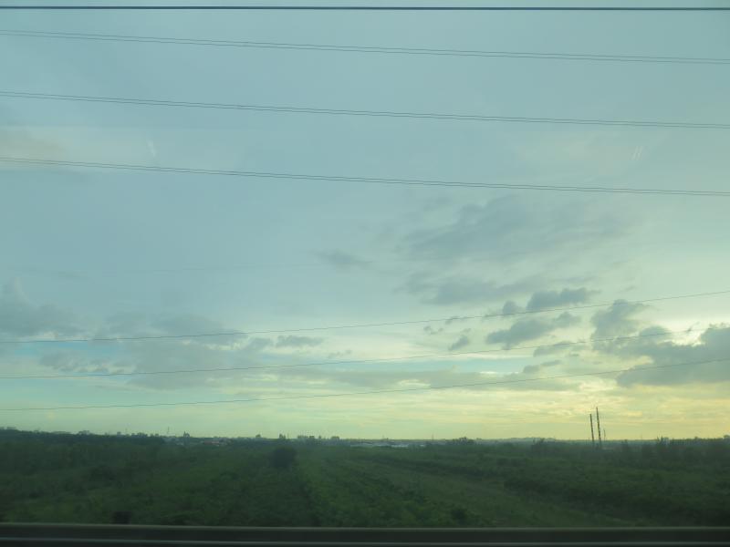
View From THSR Window

#Gangshan my hometown

黃金海岸

阿波羅噴泉廣場

Chimei museum / 奇美博物館

晚安、安平
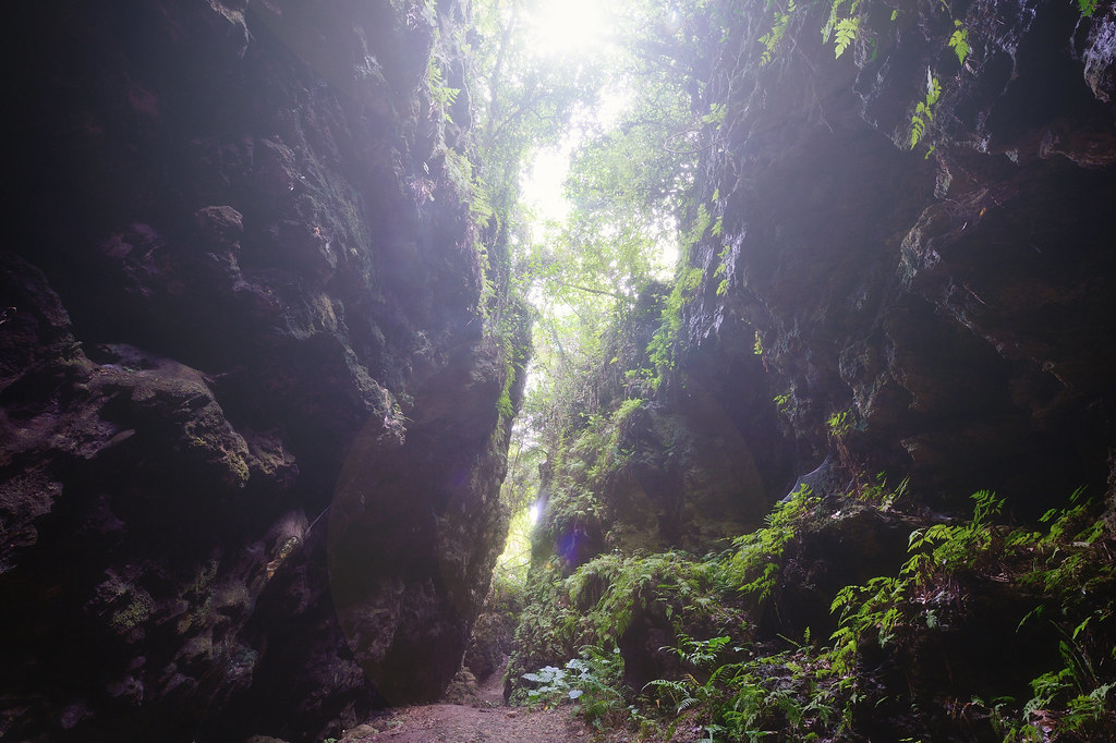
盤龍峽谷
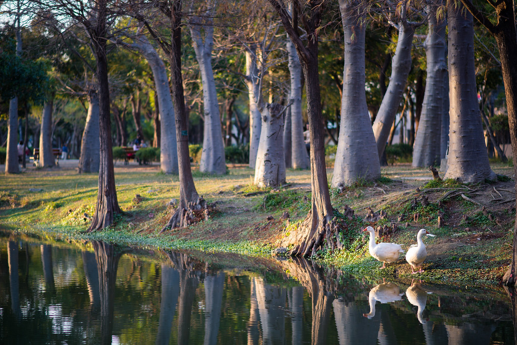
巴克禮公園
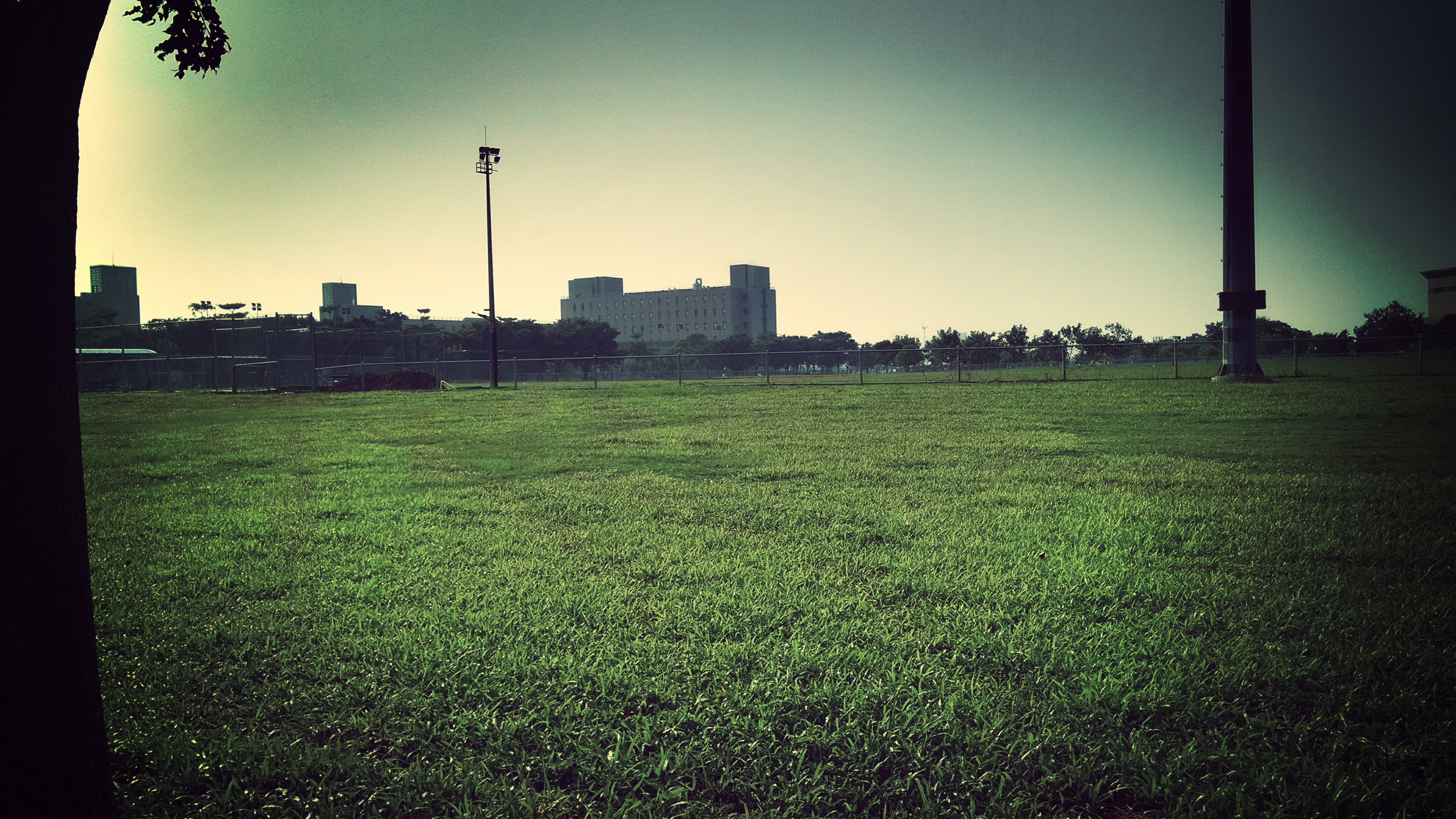
高大 壘球場

IMG_1248.

"Gotcha"
Fly me to the SUN.

尼伯特紅雲

20120226-004
Topographic Map of Taiwan, Kaohsiung City, Yong'an District, 興達巷21號
Find elevation by address:

Places near Taiwan, Kaohsiung City, Yong'an District, 興達巷21號:
No. 34, Xinxing Rd, Yong'an District, Kaohsiung City, Taiwan
新港里
No., Dagong Rd, Luzhu District, Kaohsiung City, Taiwan
No. 35, Yong'an Rd, Yong'an District, Kaohsiung City, Taiwan
新達里
崎漏里
保寧里
No. 76, Bao'an Rd, Yong'an District, Kaohsiung City, Taiwan
Jiading District
No. 82, Shunan Rd, Luzhu District, Kaohsiung City, Taiwan
No. 39, Qilou Rd, Jiading District, Kaohsiung City, Taiwan
後鄉里
Yong'an District
Taiwan, Kaohsiung City, Mituo District, 舊港橫路22號
舊港里
海山里
No. 52, Section 2, Ren'ai Rd, Jiading District, Kaohsiung City, Taiwan
Hunei District
No., Pingdeng St, Luzhu District, Kaohsiung City, Taiwan
Luzhu District
Recent Searches:
- Elevation of Pu Ngaol Community Meeting Hall, HWHM+3X7, Krong Saen Monourom, Cambodia
- Elevation of Royal Ontario Museum, Queens Park, Toronto, ON M5S 2C6, Canada
- Elevation of Groblershoop, South Africa
- Elevation of Power Generation Enterprises | Industrial Diesel Generators, Oak Ave, Canyon Country, CA, USA
- Elevation of Chesaw Rd, Oroville, WA, USA
- Elevation of N, Mt Pleasant, UT, USA
- Elevation of 6 Rue Jules Ferry, Beausoleil, France
- Elevation of Sattva Horizon, 4JC6+G9P, Vinayak Nagar, Kattigenahalli, Bengaluru, Karnataka, India
- Elevation of Great Brook Sports, Gold Star Hwy, Groton, CT, USA
- Elevation of 10 Mountain Laurels Dr, Nashua, NH, USA