Elevation of Taiwan, 高雄市路竹區新達里
Location: Taiwan > Kaohsiung City > Luzhu District >
Longitude: 120.231078
Latitude: 22.8479724
Elevation: 9m / 30feet
Barometric Pressure: 101KPa
Elevation Map:
Satellite Map:
Related Photos:

20150206-DSC04186

Chimei museum / 奇美博物館

晚安、安平
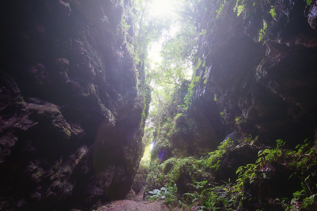
盤龍峽谷
巴克禮公園

高大 壘球場

#Gangshan my hometown

20150206-DSC04194

IMG_1248.

"Gotcha"

紅樹林保護區

黃金海岸

阿波羅噴泉廣場
Topographic Map of Taiwan, 高雄市路竹區新達里
Find elevation by address:

Places in Taiwan, 高雄市路竹區新達里:
Places near Taiwan, 高雄市路竹區新達里:
No., Dagong Rd, Luzhu District, Kaohsiung City, Taiwan
No. 82, Shunan Rd, Luzhu District, Kaohsiung City, Taiwan
保寧里
後鄉里
No. 76, Bao'an Rd, Yong'an District, Kaohsiung City, Taiwan
Taiwan, Kaohsiung City, Yong'an District, 興達巷21號
No. 35, Yong'an Rd, Yong'an District, Kaohsiung City, Taiwan
No., Pingdeng St, Luzhu District, Kaohsiung City, Taiwan
Luzhu District
竹東里
Jiading District
No. 34, Xinxing Rd, Yong'an District, Kaohsiung City, Taiwan
崎漏里
Yong'an District
海山里
社中里
No., Dashe Rd, Luzhu District, Kaohsiung City, Taiwan
大湖里
新港里
No., Minquan Rd, Hunei District, Kaohsiung City, Taiwan
Recent Searches:
- Elevation of East W.T. Harris Boulevard, E W.T. Harris Blvd, Charlotte, NC, USA
- Elevation of West Sugar Creek, Charlotte, NC, USA
- Elevation of Wayland, NY, USA
- Elevation of Steadfast Ct, Daphne, AL, USA
- Elevation of Lagasgasan, X+CQH, Tiaong, Quezon, Philippines
- Elevation of Rojo Ct, Atascadero, CA, USA
- Elevation of Flagstaff Drive, Flagstaff Dr, North Carolina, USA
- Elevation of Avery Ln, Lakeland, FL, USA
- Elevation of Woolwine, VA, USA
- Elevation of Lumagwas Diversified Farmers Multi-Purpose Cooperative, Lumagwas, Adtuyon, RV32+MH7, Pangantucan, Bukidnon, Philippines