Elevation of Taiwan, 屏東縣滿州鄉長樂村
Location: Taiwan > Pingtung County > Manzhou Township >
Longitude: 120.844152
Latitude: 22.0800704
Elevation: 248m / 814feet
Barometric Pressure: 98KPa
Elevation Map:
Satellite Map:
Related Photos:

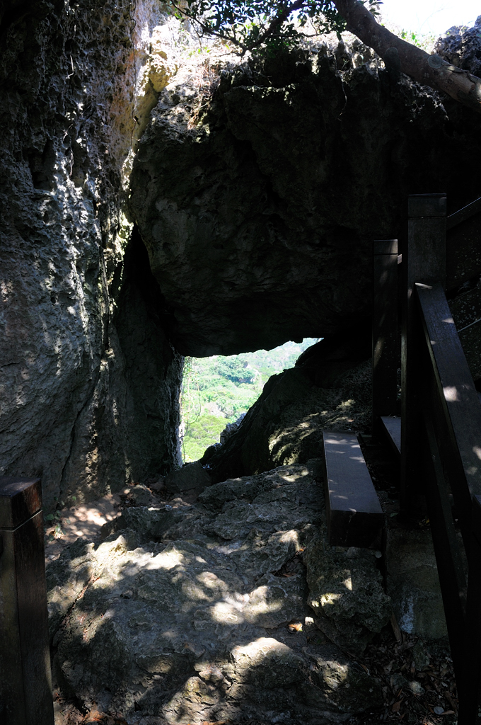
20140514-DSC03167
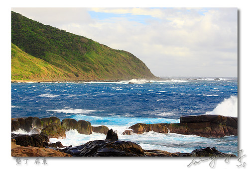
20140514-DSC02993

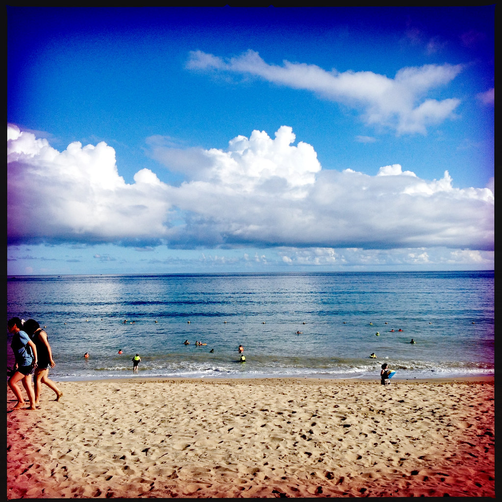
20140514-DSC02875

view from hotel room patio...ocean just across the street..

Strong Colors

Sea View at 風吹沙

Ocean view.
HengChung - Street View
View From Kenting National Park Visitor Center

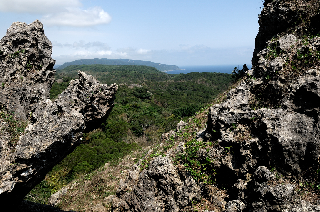
Mountain by the ocean
#Awesome #Beautiful #Pretty #View #Sunset #Around #Taiwan #環島 #屏東 #Day11 屏東的風景真的很美 後面是山前面是海 一山有海的美景
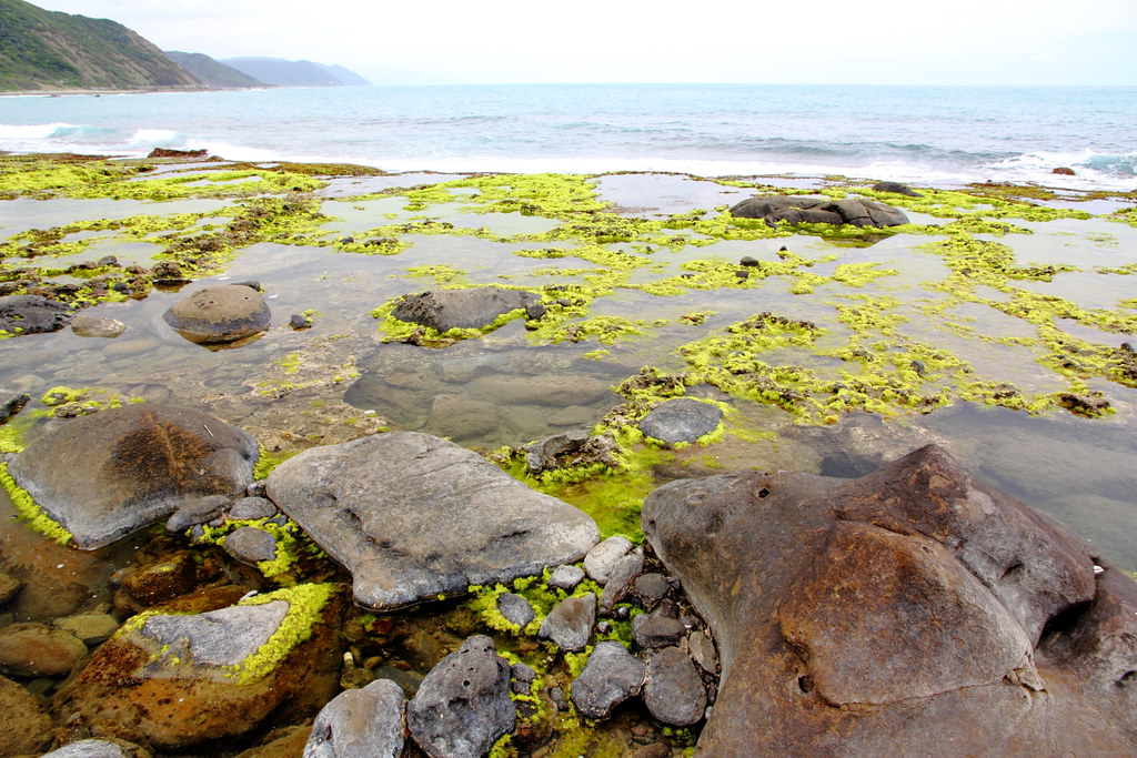
Rocky Seashore, Kenting, Taiwan
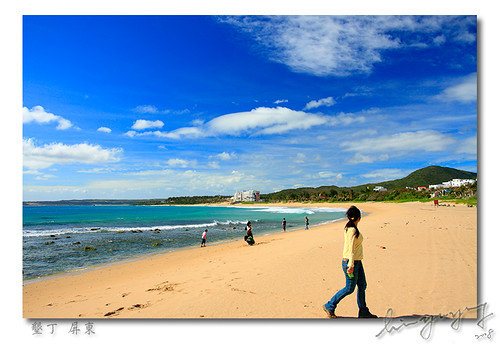
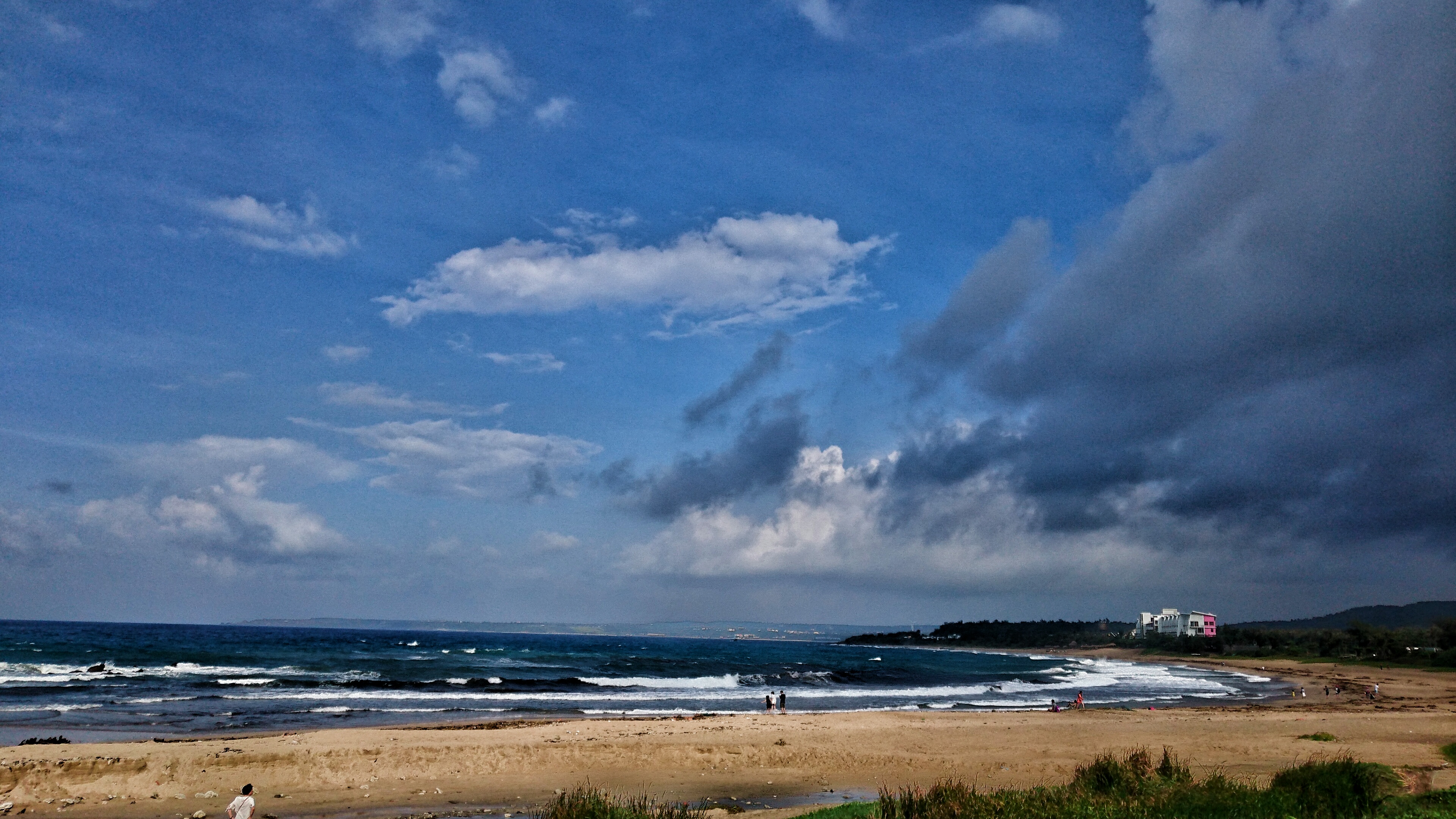
Kenting Beach

Good #morning from #southoftaiwan Summer&Shine's #home with #niceweather #sun #bigsun #sunflower #flower #view #taiwan #tw

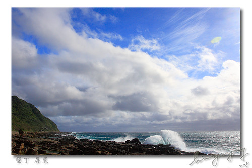
Clouds Like Smoke from the Sun

Brave fishers in Jialeshuei
Trail to lookout spot

TW-2006_114
Jialeshuei (佳樂水)
Trail to lookout spot
Jialeshuei (佳樂水)

Camera Roll-49

Camera Roll-127

Camera Roll-151
Camera Roll-123

Camera Roll-138

Camera Roll-133

Camera Roll-150

DSC_3006.jpg

さようなら 南国の夏末

Camera Roll-35

Camera Roll-122

Camera Roll-149

DSC_3046.jpg

草潭夕照

DSC_3036.jpg

20140131 高雄墾丁之旅

DSC_2939.jpg
DSC_3008.jpg

Camera Roll-50
短暫片刻的陽光…

Camera Roll-128
Topographic Map of Taiwan, 屏東縣滿州鄉長樂村
Find elevation by address:

Places in Taiwan, 屏東縣滿州鄉長樂村:
No. 45, Bayao Rd, Manzhou Township, Pingtung County, Taiwan
No. 8, Heping Rd, Manzhou Township, Pingtung County, Taiwan
Places near Taiwan, 屏東縣滿州鄉長樂村:
No. 8, Heping Rd, Manzhou Township, Pingtung County, Taiwan
No. 45, Bayao Rd, Manzhou Township, Pingtung County, Taiwan
九棚村
No. 80, Silin Rd, Mudan Township, Pingtung County, Taiwan
四林村
Manzhou Township
No. 59, Gaoshi Rd, Mudan Township, Pingtung County, Taiwan
No. 49, Fuxing 1st Rd, Mudan Township, Pingtung County, Taiwan
No. 6, Jiupeng Rd, Manzhou Township, Pingtung County, Taiwan
No. 21, Nanren Rd, Manzhou Township, Pingtung County, Taiwan
No. 15, Laofu Rd, Manzhou Township, Pingtung County, Taiwan
滿州村
高士村
港仔村
No. 56, Zhongshan Rd, Manzhou Township, Pingtung County, Taiwan
56-1
保力村
No. 42, Haiqian Rd, Manzhou Township, Pingtung County, Taiwan
No. 12, Zhongjian Rd, Mudan Township, Pingtung County, Taiwan
1-1
Recent Searches:
- Elevation of Sadovaya Ulitsa, 20, Rezh, Sverdlovskaya oblast', Russia
- Elevation of Ulitsa Kalinina, 79, Rezh, Sverdlovskaya oblast', Russia
- Elevation of 72-31 Metropolitan Ave, Middle Village, NY, USA
- Elevation of 76 Metropolitan Ave, Brooklyn, NY, USA
- Elevation of Alisal Rd, Solvang, CA, USA
- Elevation of Vista Blvd, Sparks, NV, USA
- Elevation of 15th Ave SE, St. Petersburg, FL, USA
- Elevation of Beall Road, Beall Rd, Florida, USA
- Elevation of Leguwa, Nepal
- Elevation of County Rd, Enterprise, AL, USA