Elevation of Taiwan, 屏東縣牡丹鄉高士村
Location: Taiwan > Pingtung County > Mudan Township >
Longitude: 120.844152
Latitude: 22.1335192
Elevation: 142m / 466feet
Barometric Pressure: 100KPa
Elevation Map:
Satellite Map:
Related Photos:

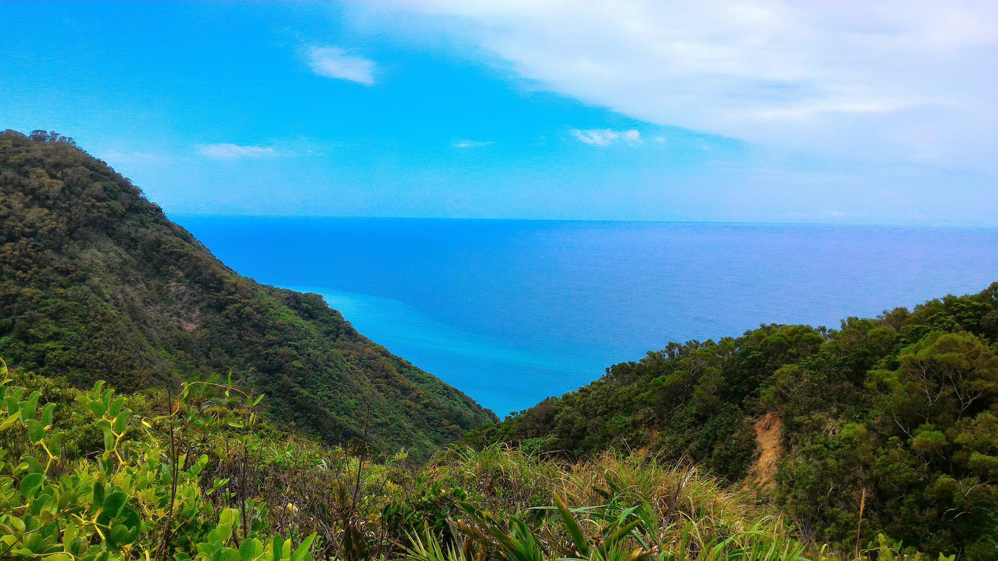
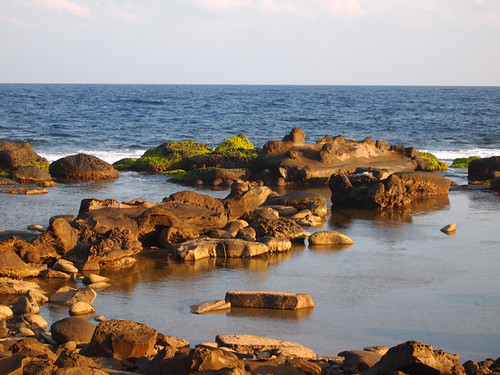
Ocean View
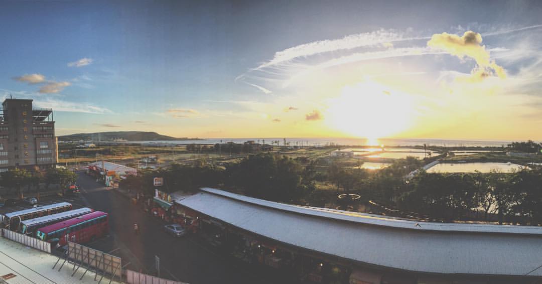
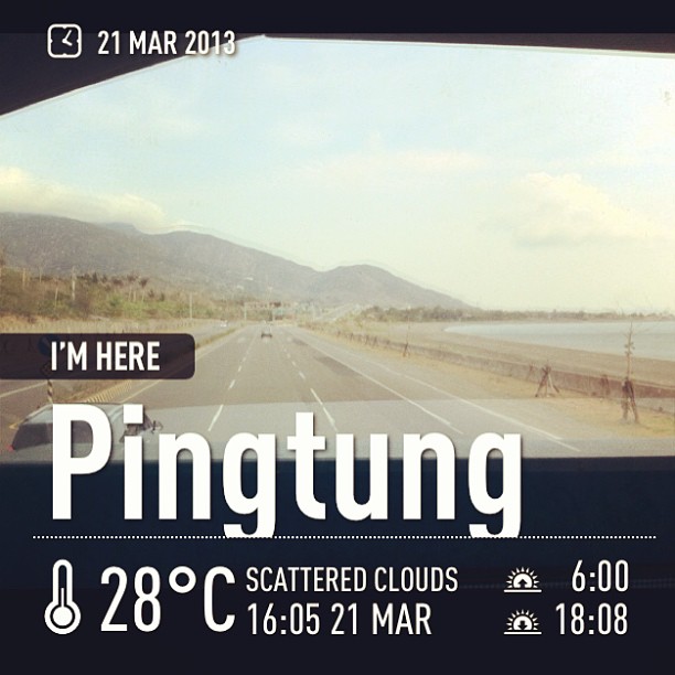
#Awesome #Beautiful #Pretty #View #Sunset #Around #Taiwan #環島 #屏東 #Day11 屏東的風景真的很美 後面是山前面是海 一山有海的美景
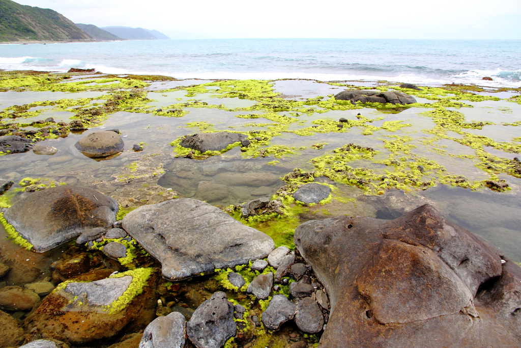
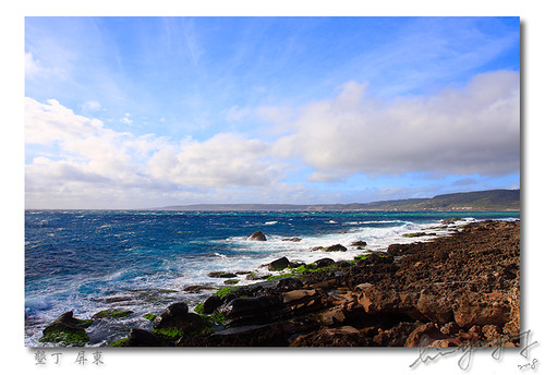
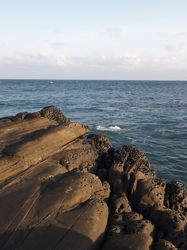
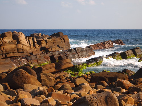
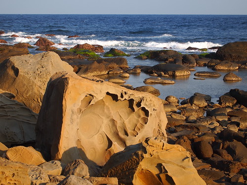
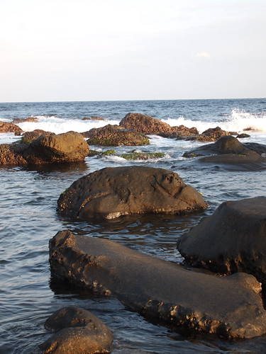
Rocky Seashore, Kenting, Taiwan

Good #morning from #southoftaiwan Summer&Shine's #home with #niceweather #sun #bigsun #sunflower #flower #view #taiwan #tw

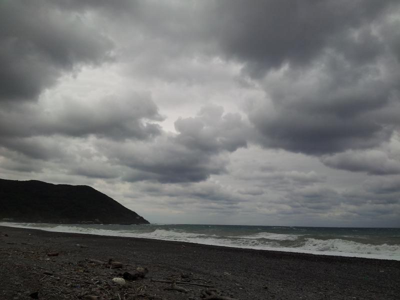
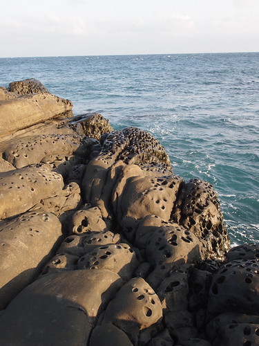
Brave fishers in Jialeshuei
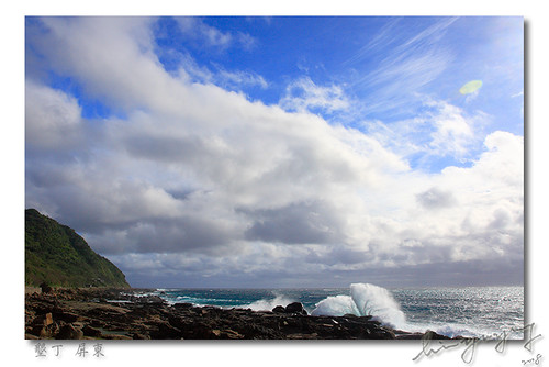
Jialeshuei (佳樂水)
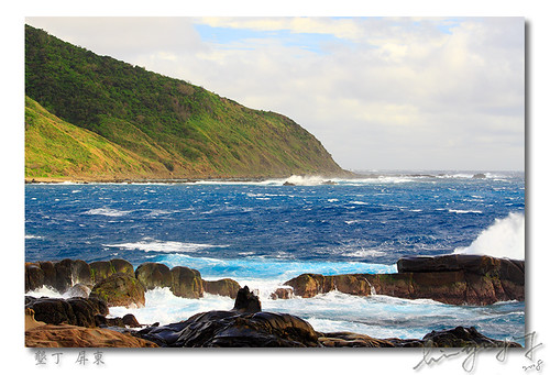
Jialeshuei (佳樂水)
#ontheway to #kenting #weather is #hot with #sun #sea #beach #mountain #beautiful #view at #southoftaiwan #taiwan #tw
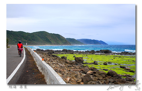
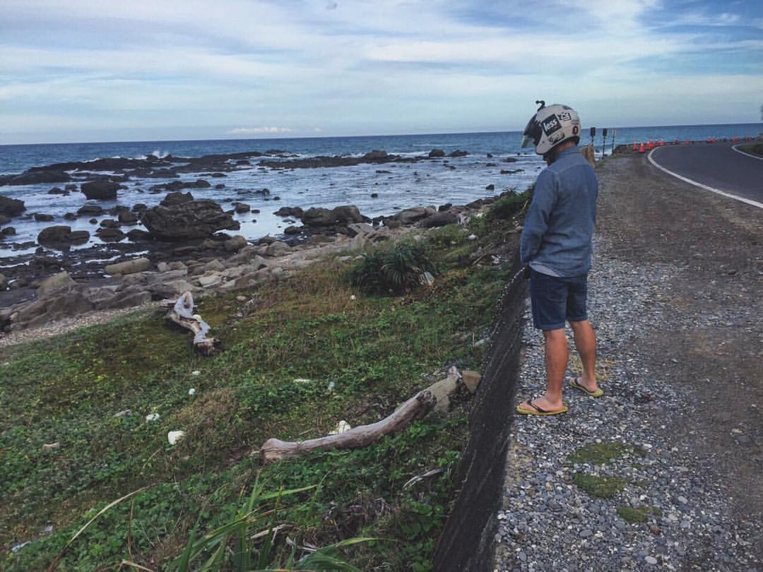
Biking along the manless Syuhai (旭海)
Jialeshuei (佳樂水)
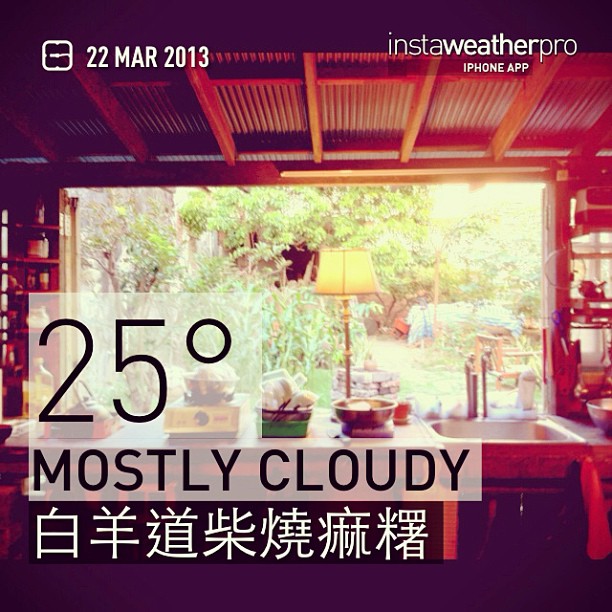
#白羊道柴燒痲糬 's #kitchen #view in #hengchun #southoftaiwan #taiwan #relax #relaxplace

Our view for the next four days.

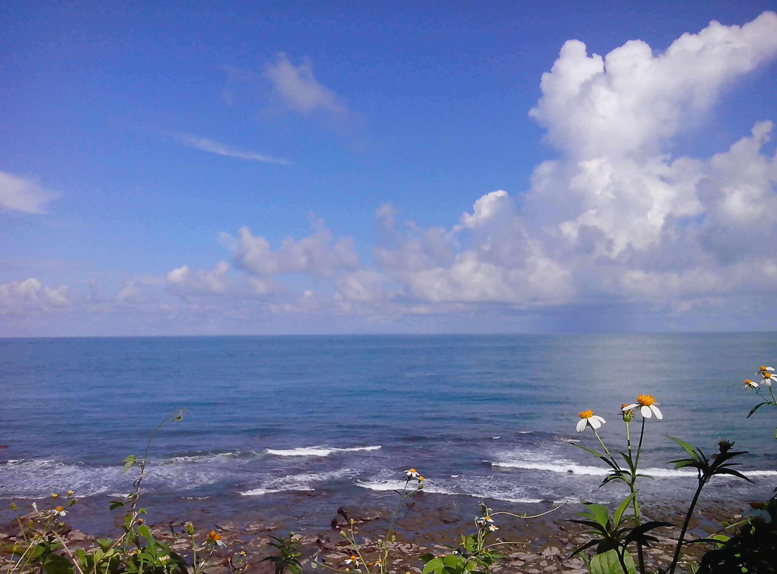
Ocean view.
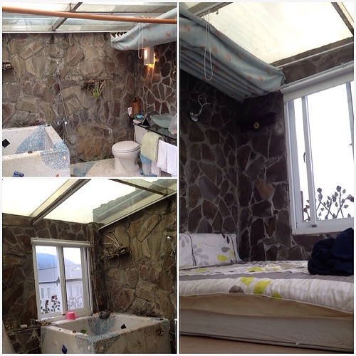
This room have a see-though roof. Amazing and romantic view on Valentine's Day with my Baobei :) ❤️

Mudan mountain view
Sea View Mountains at 旭海大草原
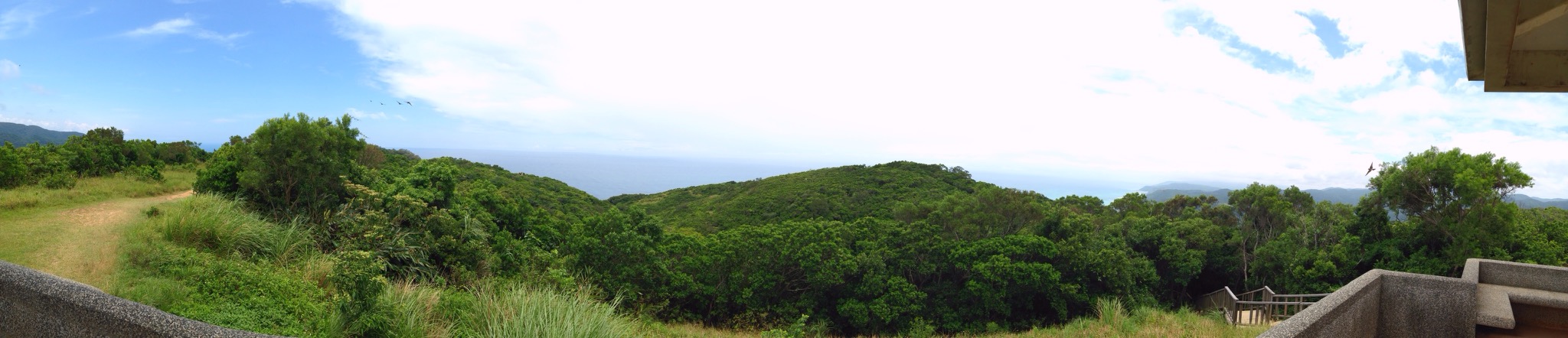
起碼二十年沒去過的旭海 Prairie Sea View Panorama at 旭海大草原
往港仔過去舊中科院路上的海邊,竟是如此美麗! Sea View Clouds And Sky On The Road at 台26線79公里
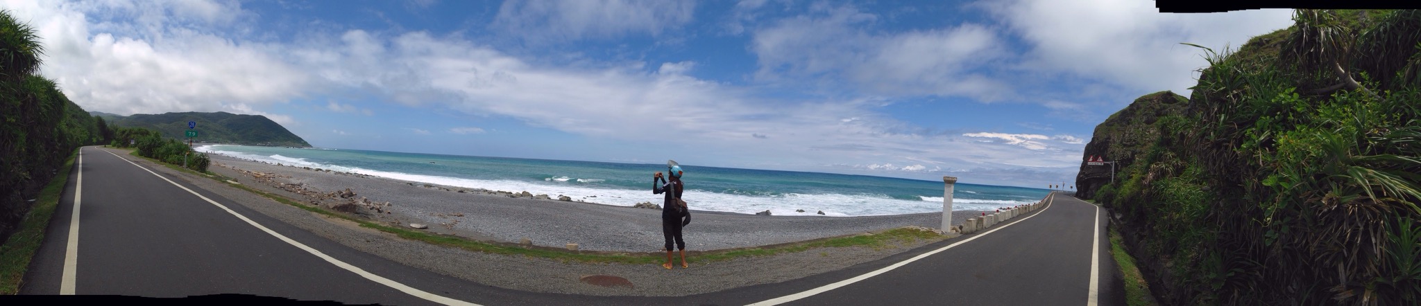
有朋自遠方來,融入湛藍的畫面。 Clouds And Sky Sea View Panorama Landscape at 台26線79公里
#Awesome #Beautiful #Pretty #View #Around #Taiwan #環島 #屏東 #Day12 啊都到了全台灣島最南端 心胸就是開闊 腳步要放慢 心情要放輕鬆 媽的從鵝鸞鼻到台東市就真的沒廁所 當然就隨地大小便幫助植物生長

爬了四小時,看到絕世美景都值了。 #阿朗壹古道 #阿朗壹 #trail #walk #taiwan #taitung #pintung #igtaiwan #igtaitung #igers #ocean #sea #mountain #instagood #scene #view #greatview #ignature #igoutdoor #outdoor #nature
20120126-071
DSC_4861-1

Alangyi Old Trail

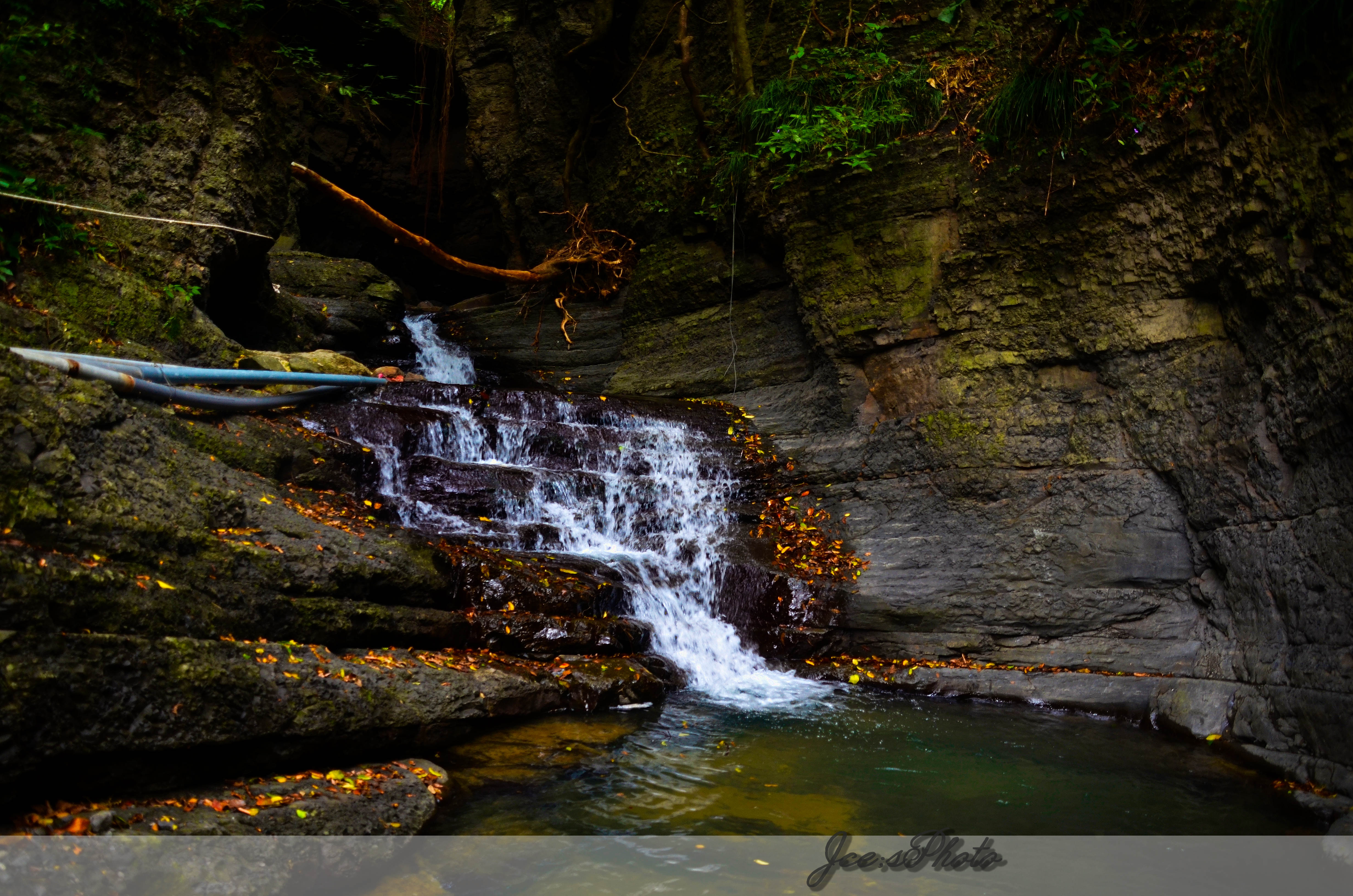
JCE_0359-1
20110207-162

DSC_1732-1
20110207-138
20120126-078
阿朗壹古道-海
20110207-161
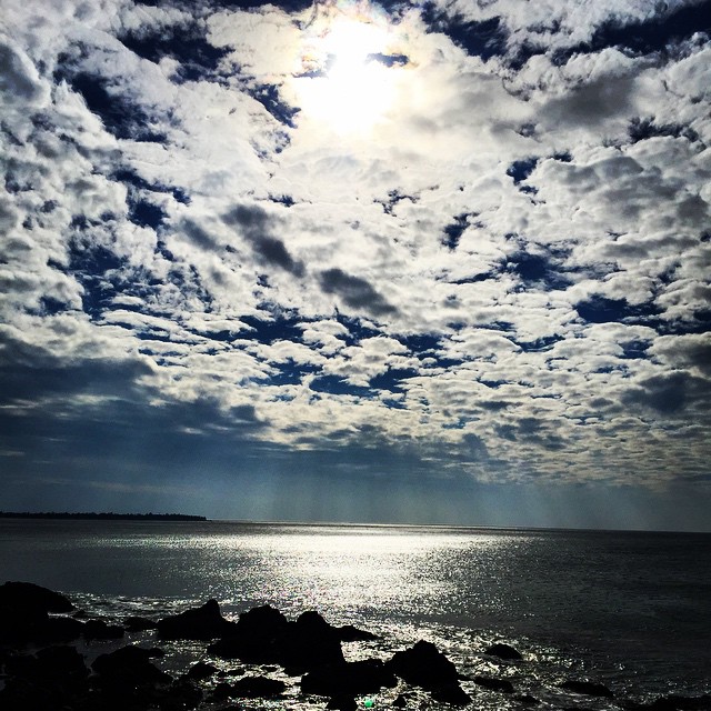
海上天光。#天空 #海洋 #陽光 #海岸 #墾丁 #台灣 #Ocean #Sky #Sunshine #Coast #iPhone6 #Taiwan #スカイ #オーシャン #日 #コースト #台湾
Mourning after 600K

Lide, Manzhou
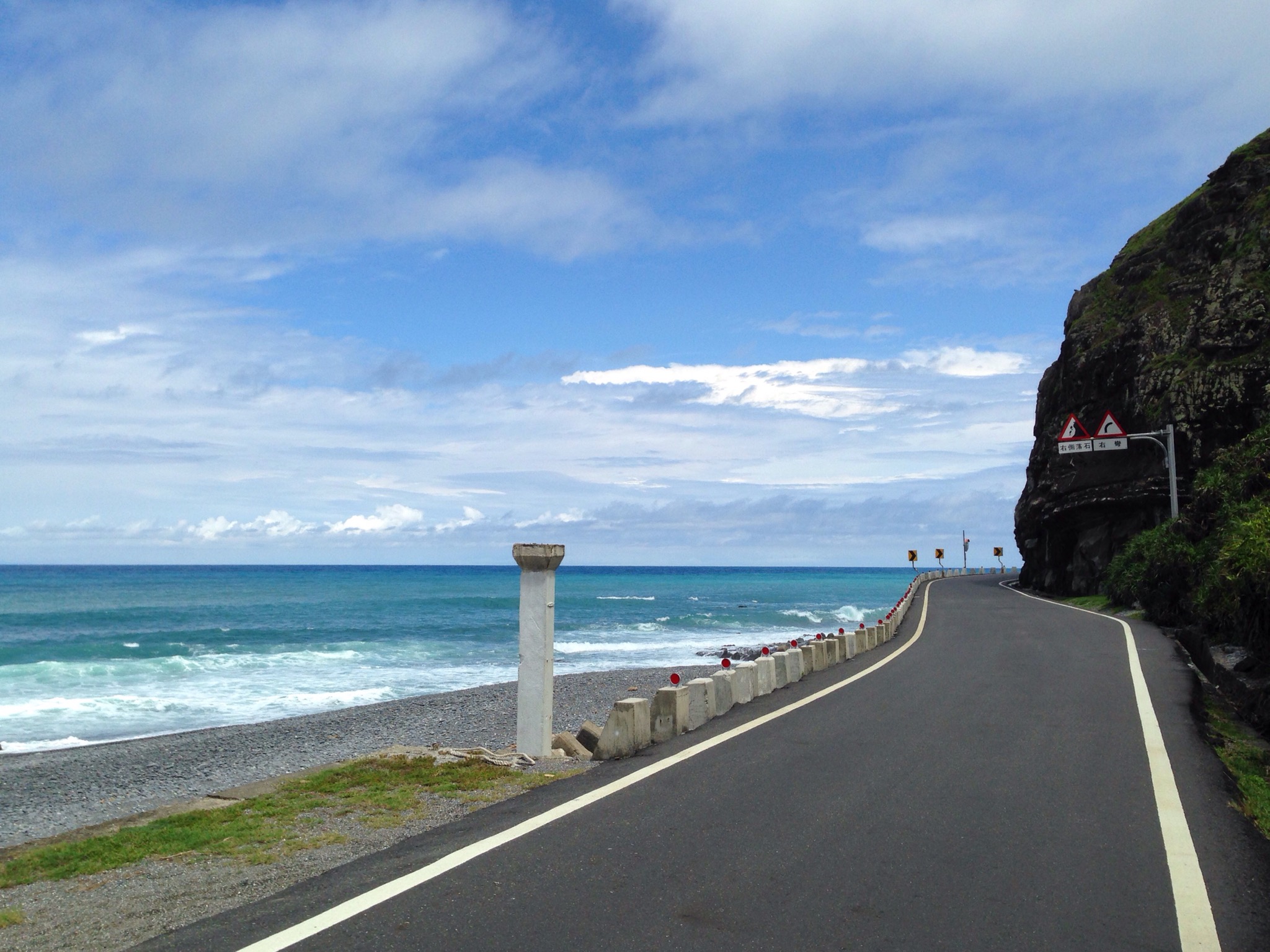
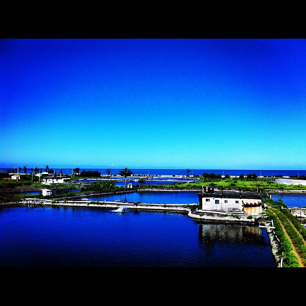
Provincial Highway 26
20110207-166

IMG_0258.JPG

Xuhai (Provincial Highway 26)
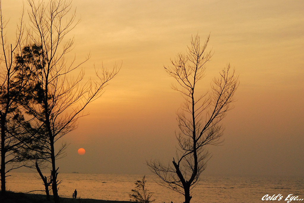
Beach Sunset... [EXPLORED]

20110207-028
20120126-072
DSC_1733-1
Topographic Map of Taiwan, 屏東縣牡丹鄉高士村
Find elevation by address:

Places in Taiwan, 屏東縣牡丹鄉高士村:
Places near Taiwan, 屏東縣牡丹鄉高士村:
No. 59, Gaoshi Rd, Mudan Township, Pingtung County, Taiwan
港仔村
No. 6, Jiupeng Rd, Manzhou Township, Pingtung County, Taiwan
No. 45, Bayao Rd, Manzhou Township, Pingtung County, Taiwan
No. 42, Haiqian Rd, Manzhou Township, Pingtung County, Taiwan
九棚村
No. 12, Zhongjian Rd, Mudan Township, Pingtung County, Taiwan
長樂村
四林村
3-6
茄芝路
No. 8, Heping Rd, Manzhou Township, Pingtung County, Taiwan
No. 21, Nanren Rd, Manzhou Township, Pingtung County, Taiwan
No. 80, Silin Rd, Mudan Township, Pingtung County, Taiwan
Pingtung County Mudan Township Office
No. 33, Shimen Rd, Mudan Township, Pingtung County, Taiwan
石門村
No. 49, Fuxing 1st Rd, Mudan Township, Pingtung County, Taiwan
Manzhou Township
保力村
Recent Searches:
- Elevation of Groblershoop, South Africa
- Elevation of Power Generation Enterprises | Industrial Diesel Generators, Oak Ave, Canyon Country, CA, USA
- Elevation of Chesaw Rd, Oroville, WA, USA
- Elevation of N, Mt Pleasant, UT, USA
- Elevation of 6 Rue Jules Ferry, Beausoleil, France
- Elevation of Sattva Horizon, 4JC6+G9P, Vinayak Nagar, Kattigenahalli, Bengaluru, Karnataka, India
- Elevation of Great Brook Sports, Gold Star Hwy, Groton, CT, USA
- Elevation of 10 Mountain Laurels Dr, Nashua, NH, USA
- Elevation of 16 Gilboa Ln, Nashua, NH, USA
- Elevation of Laurel Rd, Townsend, TN, USA