Elevation of Taiwan, 屏東縣萬巒鄉硫黃村
Location: Taiwan > Pingtung County > Wanluan Township >
Longitude: 120.575396
Latitude: 22.5842879
Elevation: 19m / 62feet
Barometric Pressure: 101KPa
Elevation Map:
Satellite Map:
Related Photos:

#Fujifilm

#三平#fujifilm#X100
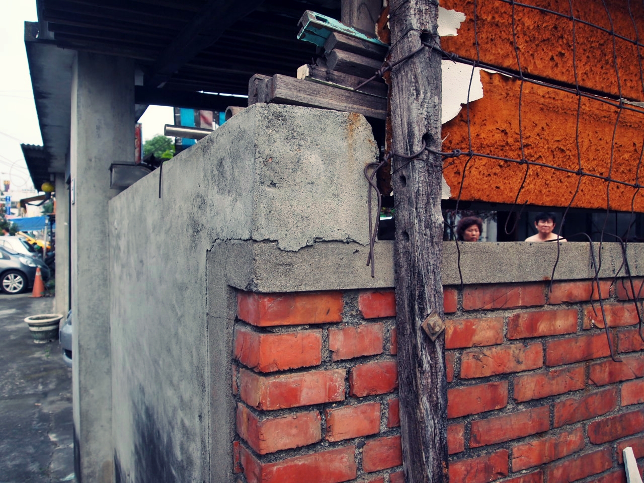
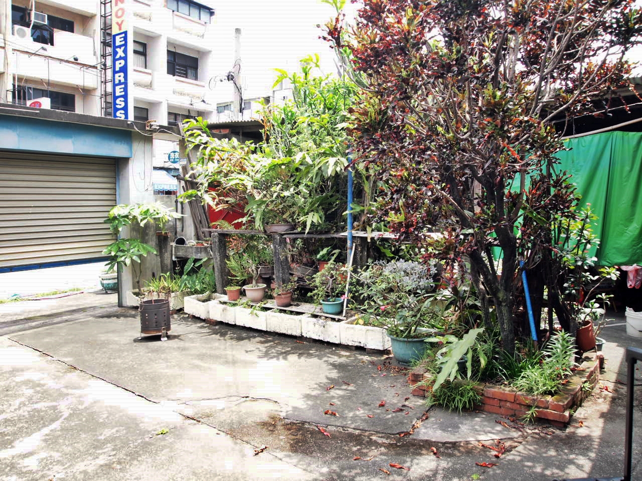
view from the street
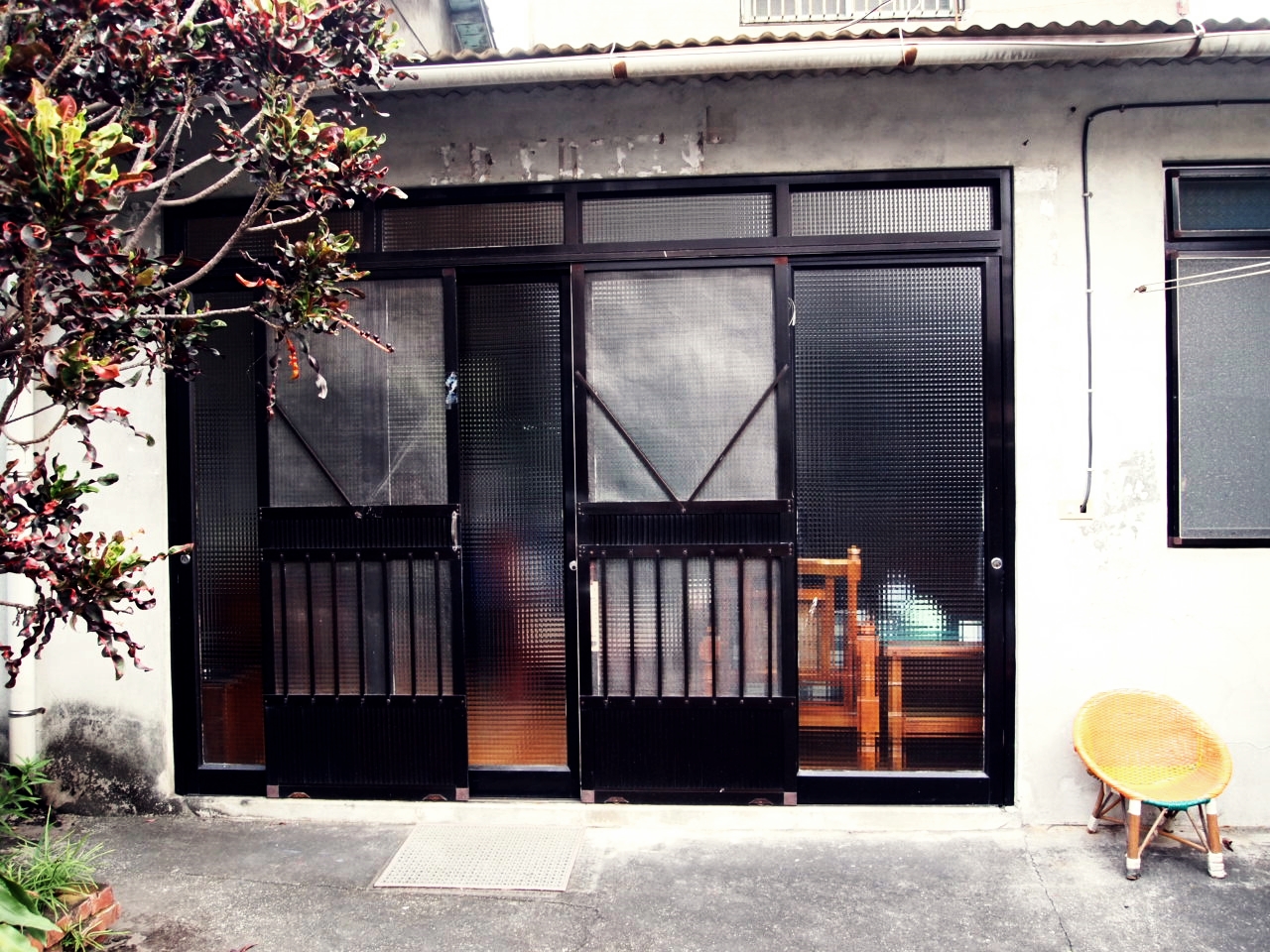
Livingroom door

Livingroom door

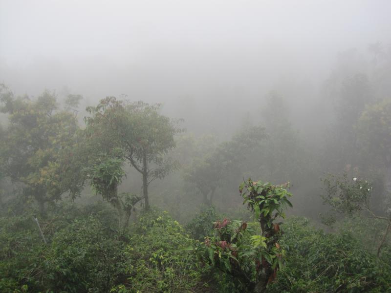
因棧道施工,只能遠望涓涓細流。 Waterfall Mountain View Trees at 涼山瀑布

Mountain View Trees at 涼山瀑布

Front room
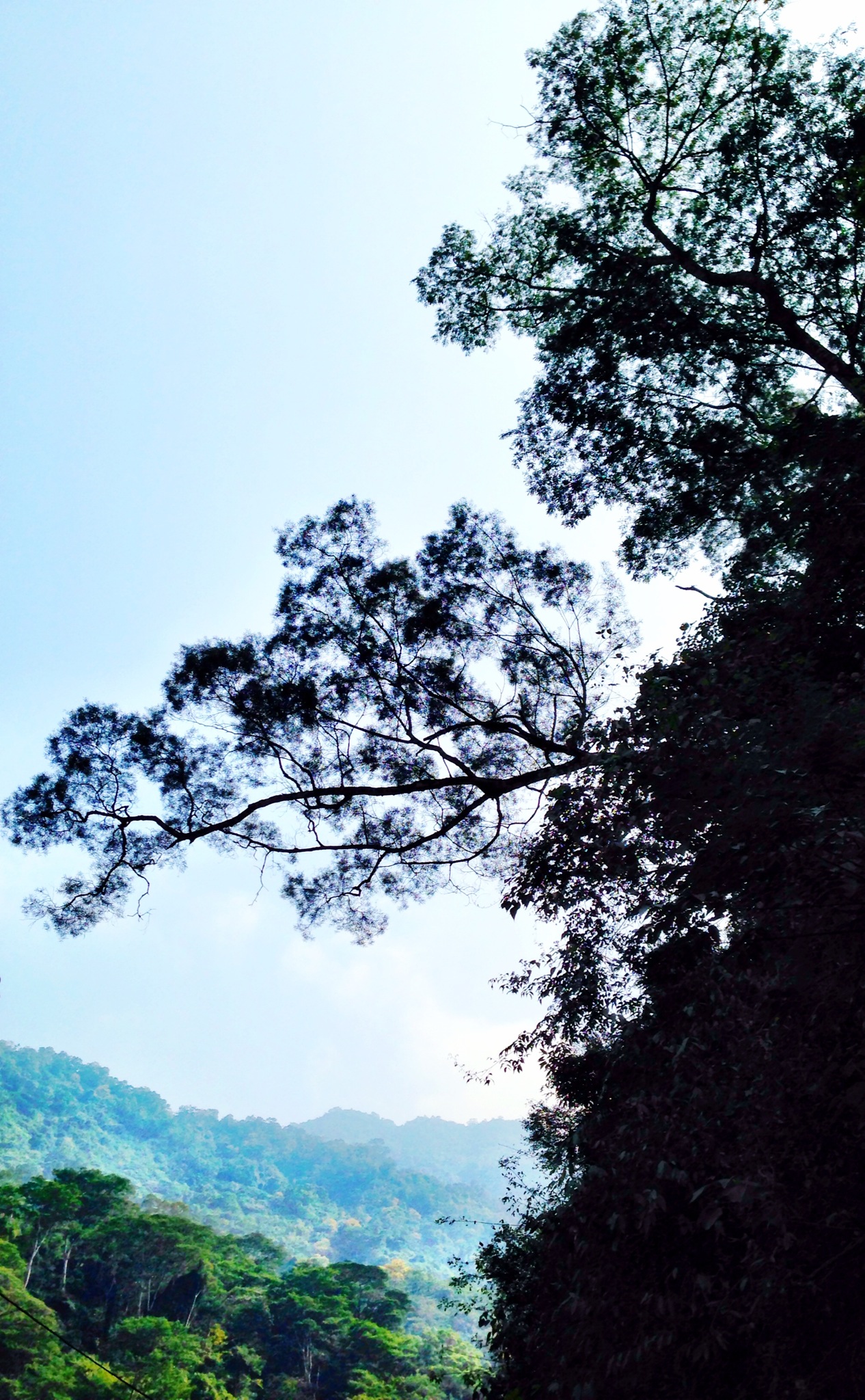
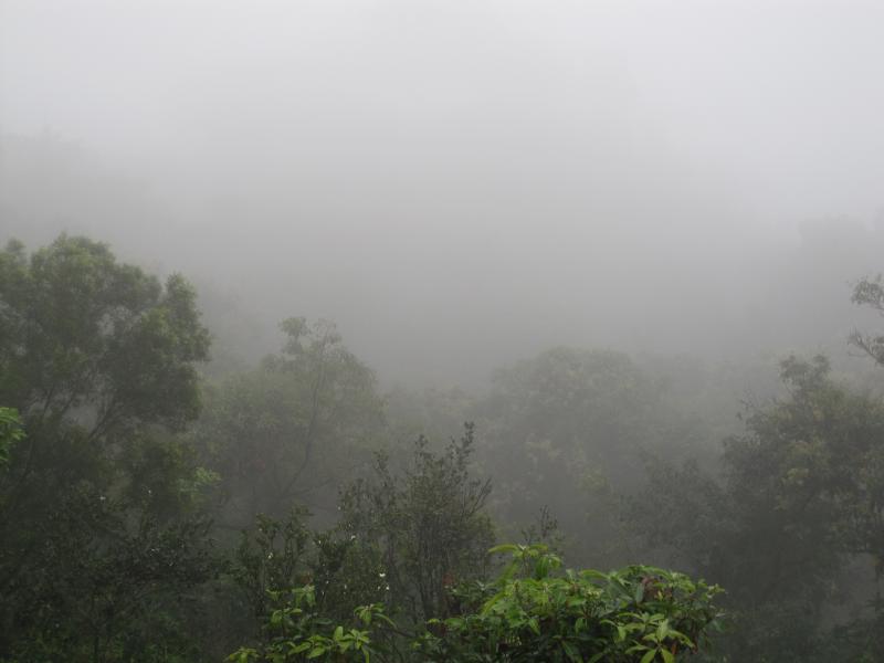
Trees Mountain View Landscape 橫生枝節 at 涼山瀑布

View From Train Window

View from across the street
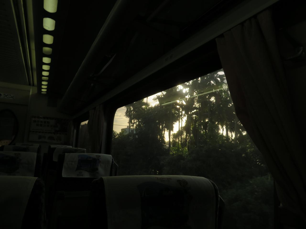
View From Train Window

View From Train Window

View Outside Train Window

View From Train Window
Courtyard (2)

View Outside Train Window
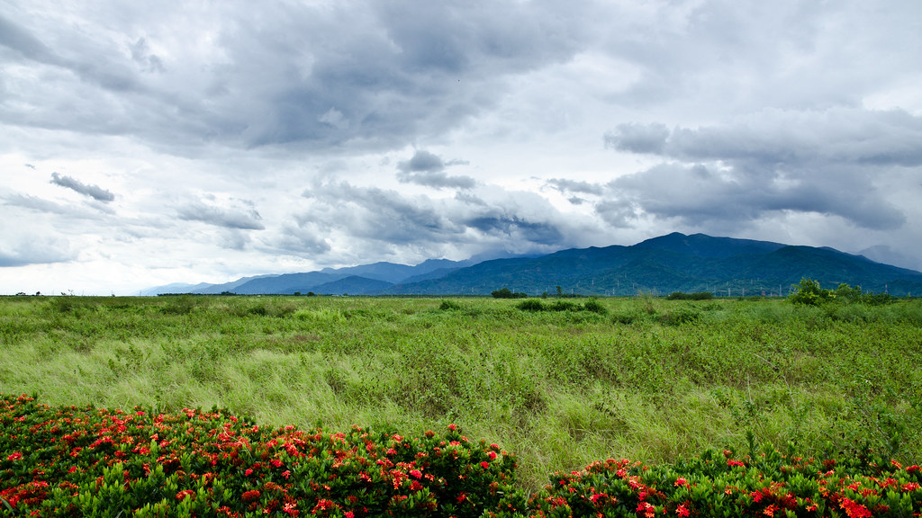
Surrounding View
Surrounding View
Back bedroom
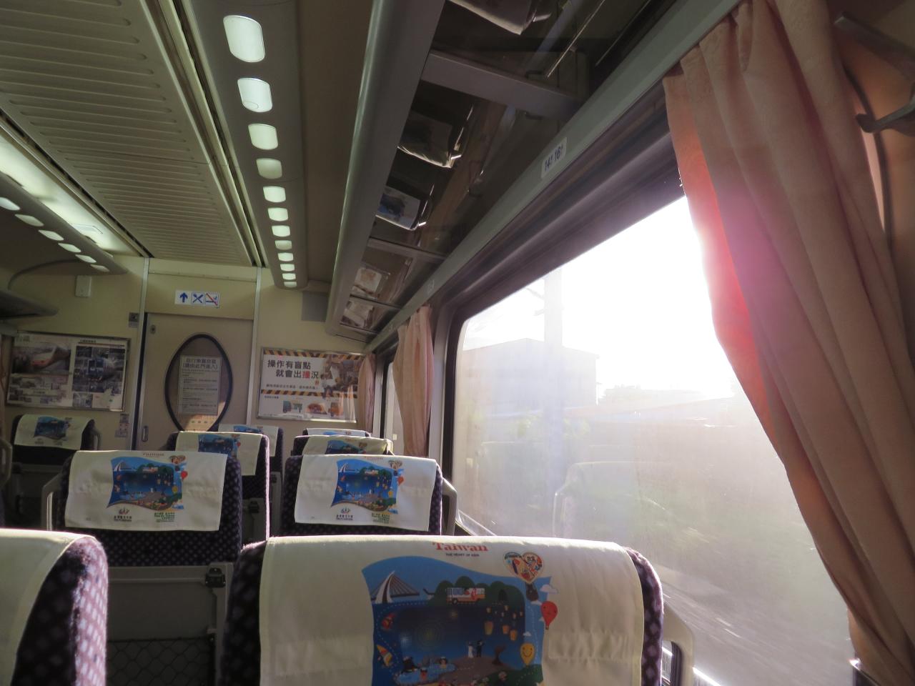
View From Train Window
沿山公路風景 Yanshan Highway, Ping-tung city, Taiwan

寂靜之外
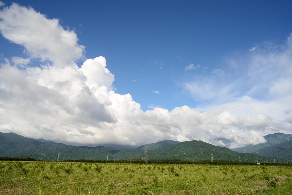
2012-The Sky_012

2016-02-03_02-21-43

Flower at 屏東糖廠冰店

朝露
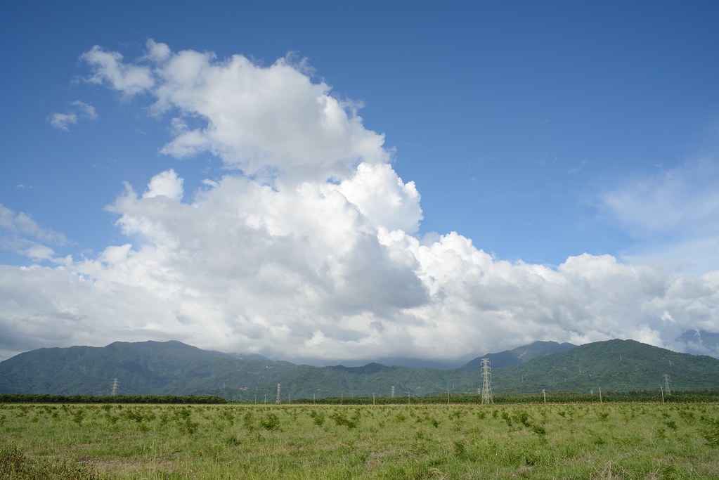
2012-The Sky_006
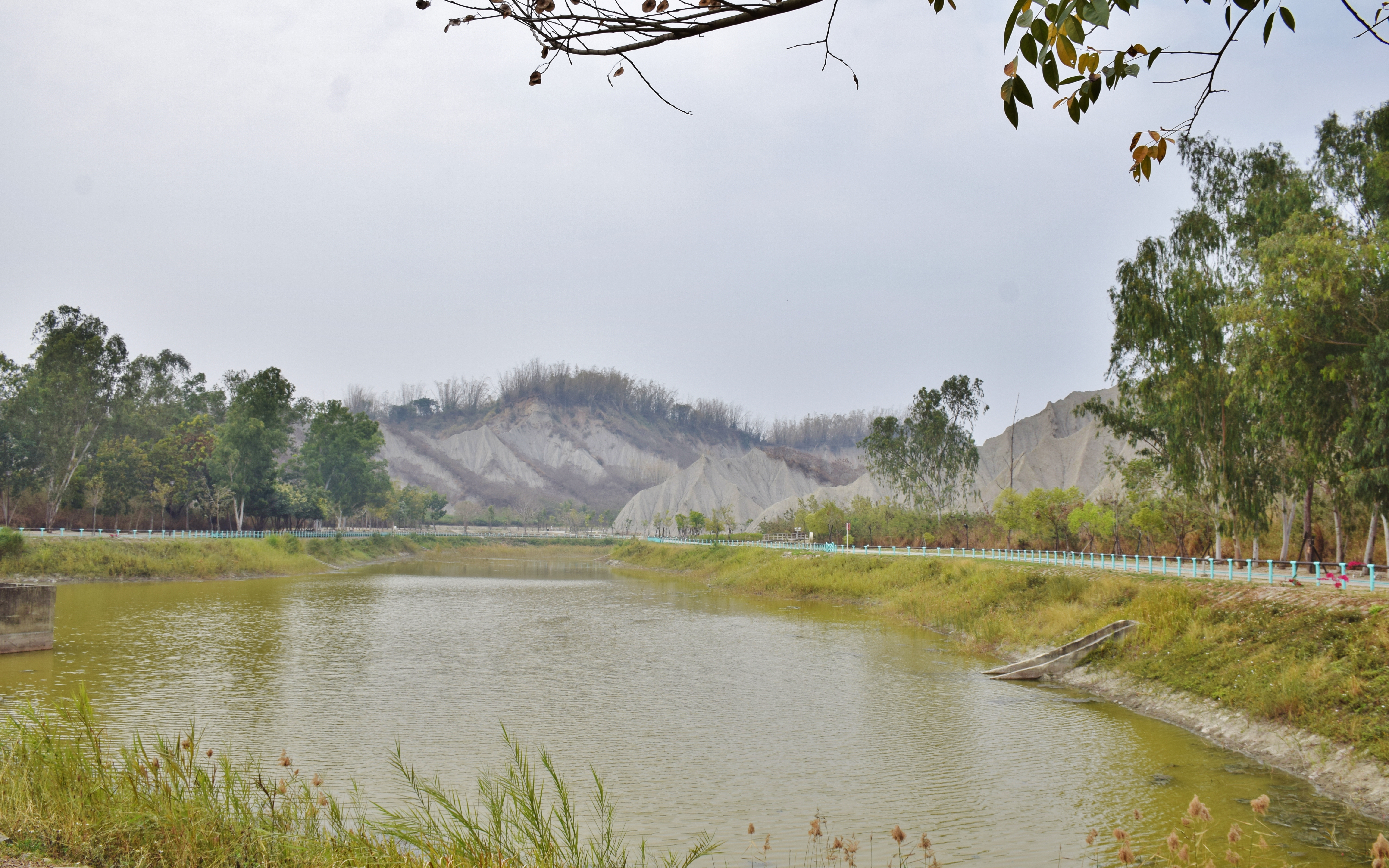
田寮月世界
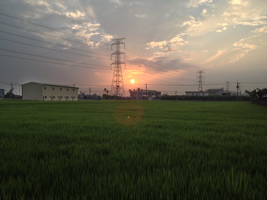
夕の稻田1
DSC_4172~2_20150505182508661
Trees at 高屏大橋
2012-The Sky_015

Liang Shan waterfall, Pington, Taiwan.

高屏地區夕照又燒粉了2013.07.30

Betel Palms
Topographic Map of Taiwan, 屏東縣萬巒鄉硫黃村
Find elevation by address:

Places in Taiwan, 屏東縣萬巒鄉硫黃村:
Places near Taiwan, 屏東縣萬巒鄉硫黃村:
No. 6, Guangfu Rd, Wanluan Township, Pingtung County, Taiwan
No. 21, Hexing Rd, Neipu Township, Pingtung County, Taiwan
萬全村
和興村
No. 1, Gaogang Rd, Wanluan Township, Pingtung County, Taiwan
鹿寮村
No. 37, Yongkang Rd, Wanluan Township, Pingtung County, Taiwan
內埔村
竹田村
No. 26, Guangji Rd, Neipu Township, Pingtung County, Taiwan
No., Zhongzheng Rd, Zhutian Township, Pingtung County, Taiwan
No. 6, Qinying Rd, Neipu Township, Pingtung County, Taiwan
興南村
Taiwan, Pingtung County, Chaozhou Township, 重義巷號
No., Tanghua Rd, Neipu Township, Pingtung County, Taiwan
東寧村
No., Yongxing Rd, Zhutian Township, Pingtung County, Taiwan
No. 8, Lane 3, Kaiyuan Rd, Chaozhou Township, Pingtung County, Taiwan
Pingtung County
富田村
Recent Searches:
- Elevation of Shibuya Scramble Crossing, 21 Udagawacho, Shibuya City, Tokyo -, Japan
- Elevation of Jadagoniai, Kaunas District Municipality, Lithuania
- Elevation of Pagonija rock, Kranto 7-oji g. 8"N, Kaunas, Lithuania
- Elevation of Co Rd 87, Jamestown, CO, USA
- Elevation of Tenjo, Cundinamarca, Colombia
- Elevation of Côte-des-Neiges, Montreal, QC H4A 3J6, Canada
- Elevation of Bobcat Dr, Helena, MT, USA
- Elevation of Zu den Ihlowbergen, Althüttendorf, Germany
- Elevation of Badaber, Peshawar, Khyber Pakhtunkhwa, Pakistan
- Elevation of SE Heron Loop, Lincoln City, OR, USA