Elevation of No., Yongxing Rd, Zhutian Township, Pingtung County, Taiwan
Location: Taiwan > Pingtung County > Zhutian Township > 糶糴村 >
Longitude: 120.535724
Latitude: 22.5830145
Elevation: 13m / 43feet
Barometric Pressure: 101KPa
Elevation Map:
Satellite Map:
Related Photos:

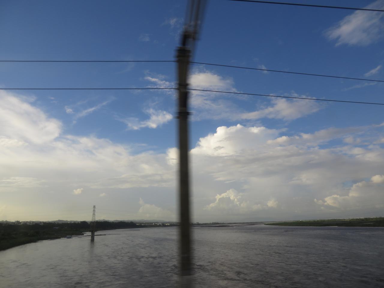
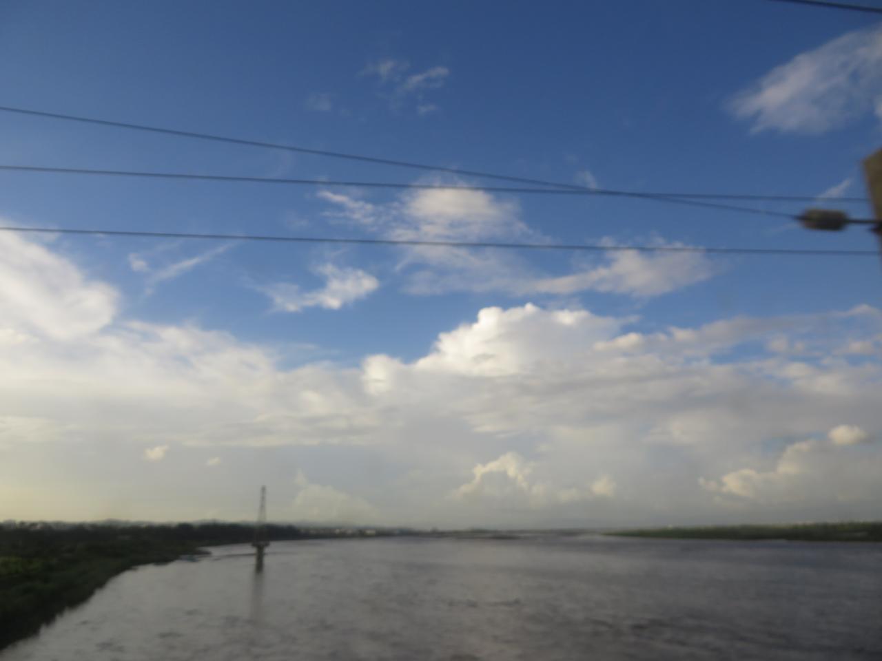
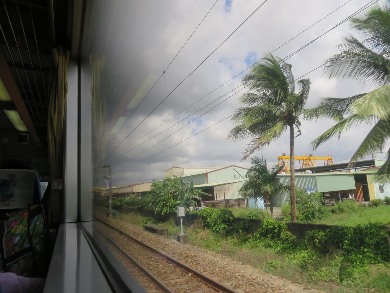
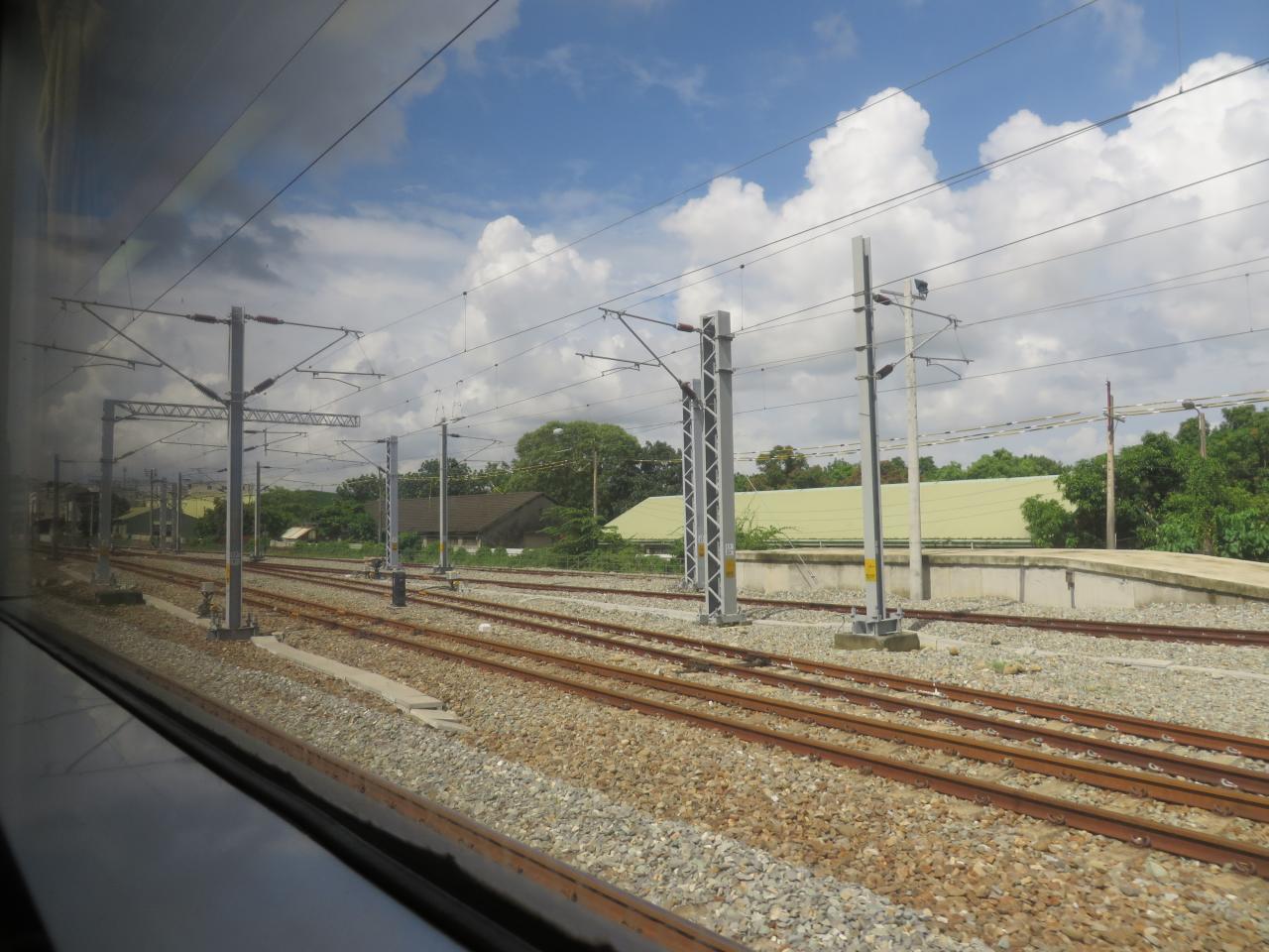
View From Train Window

#三平#fujifilm#X100

View From Train Window

View From Train Window

View From Train Window

View From Train Window

view from the street

View From Train Window

Livingroom door
View From Train Window

Livingroom door

因棧道施工,只能遠望涓涓細流。 Waterfall Mountain View Trees at 涼山瀑布

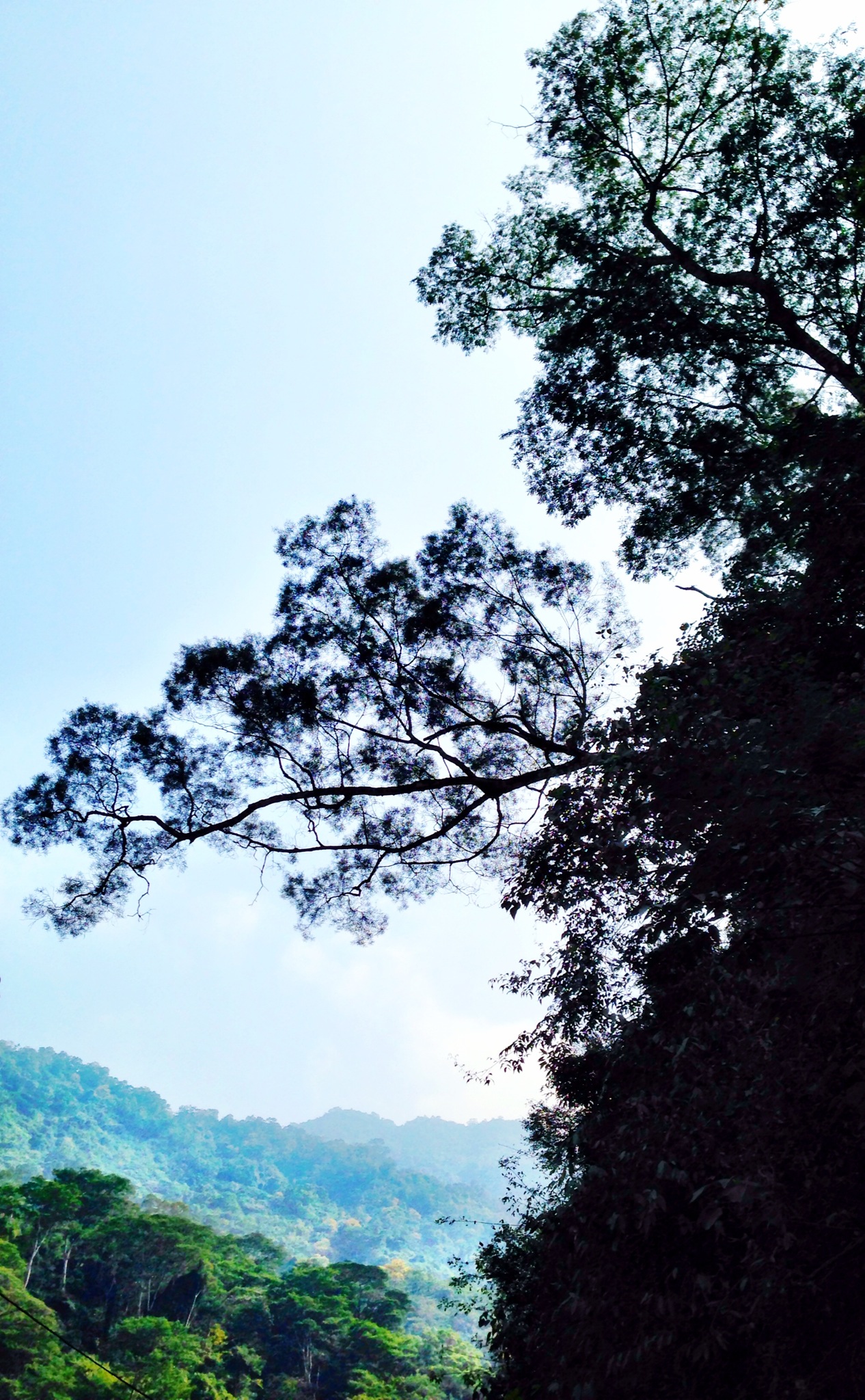
Mountain View Trees at 涼山瀑布

View From Train Window
View From Train Window

Front room
Trees Mountain View Landscape 橫生枝節 at 涼山瀑布

View From Train Window
View From Train Window
View From Train Window
View From Train Window

高屏溪攔沙壩‧Sunrise

沿山公路風景 Yanshan Highway, Ping-tung city, Taiwan

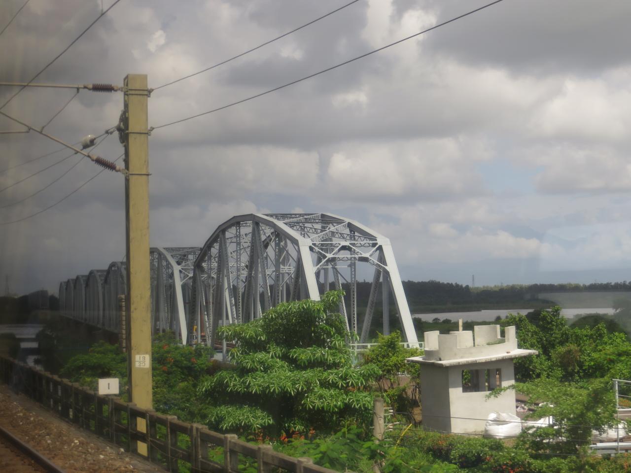
下淡水溪鐵橋&北大武山日出

寂靜之外

IMG_6926.JPG
2012-The Sky_012

大樹004

Flower at 屏東糖廠冰店

下淡水溪

朝露
2012-The Sky_006
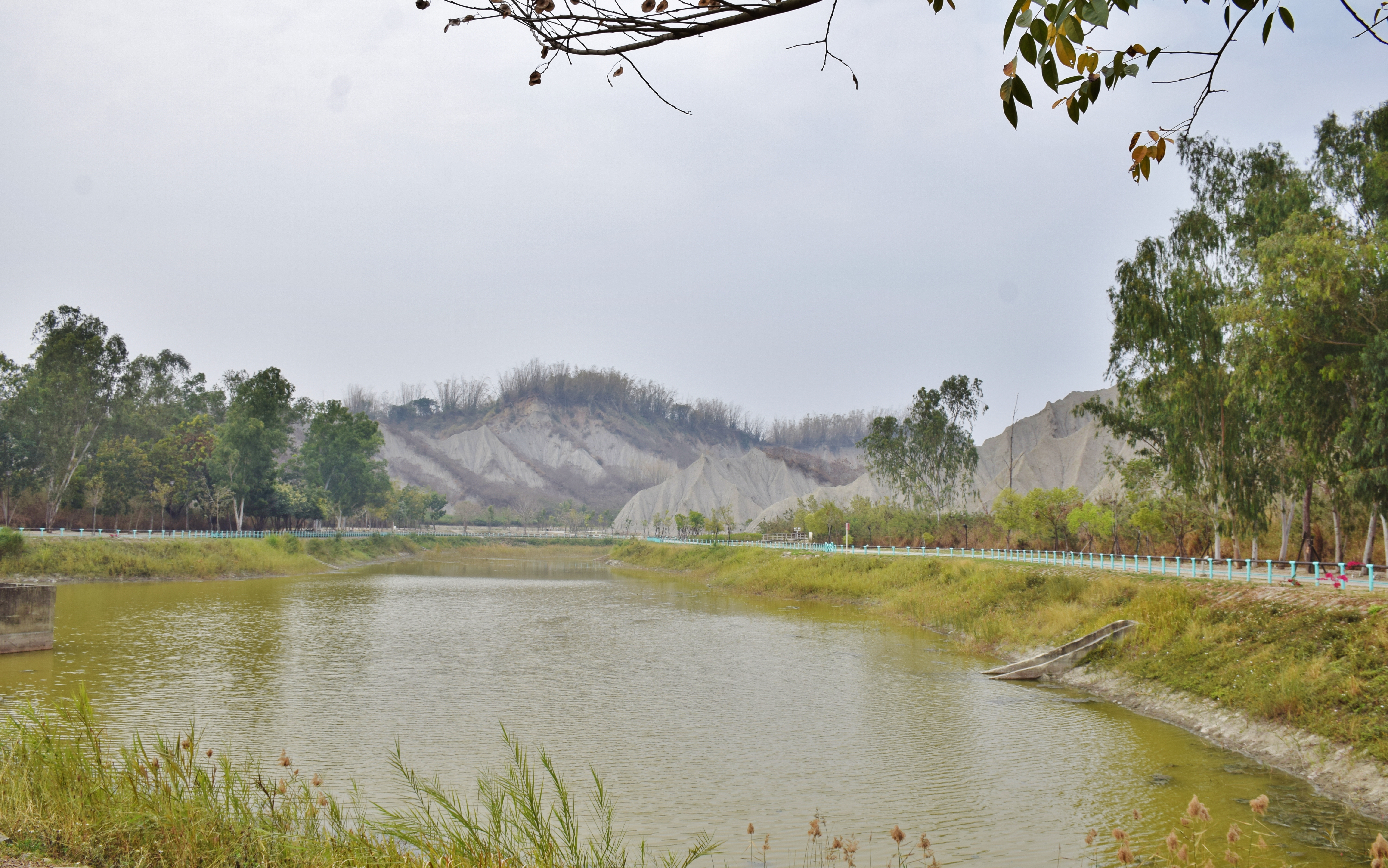
田寮月世界
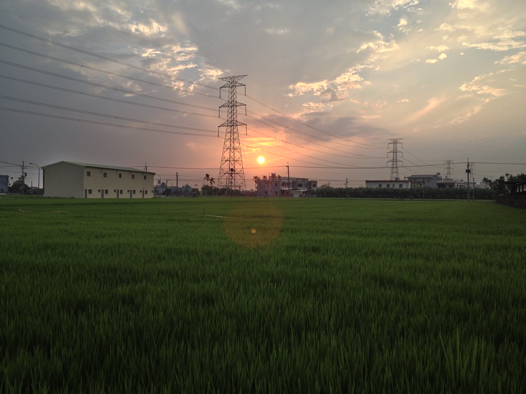
夕の稻田1

DSC_4172~2_20150505182508661
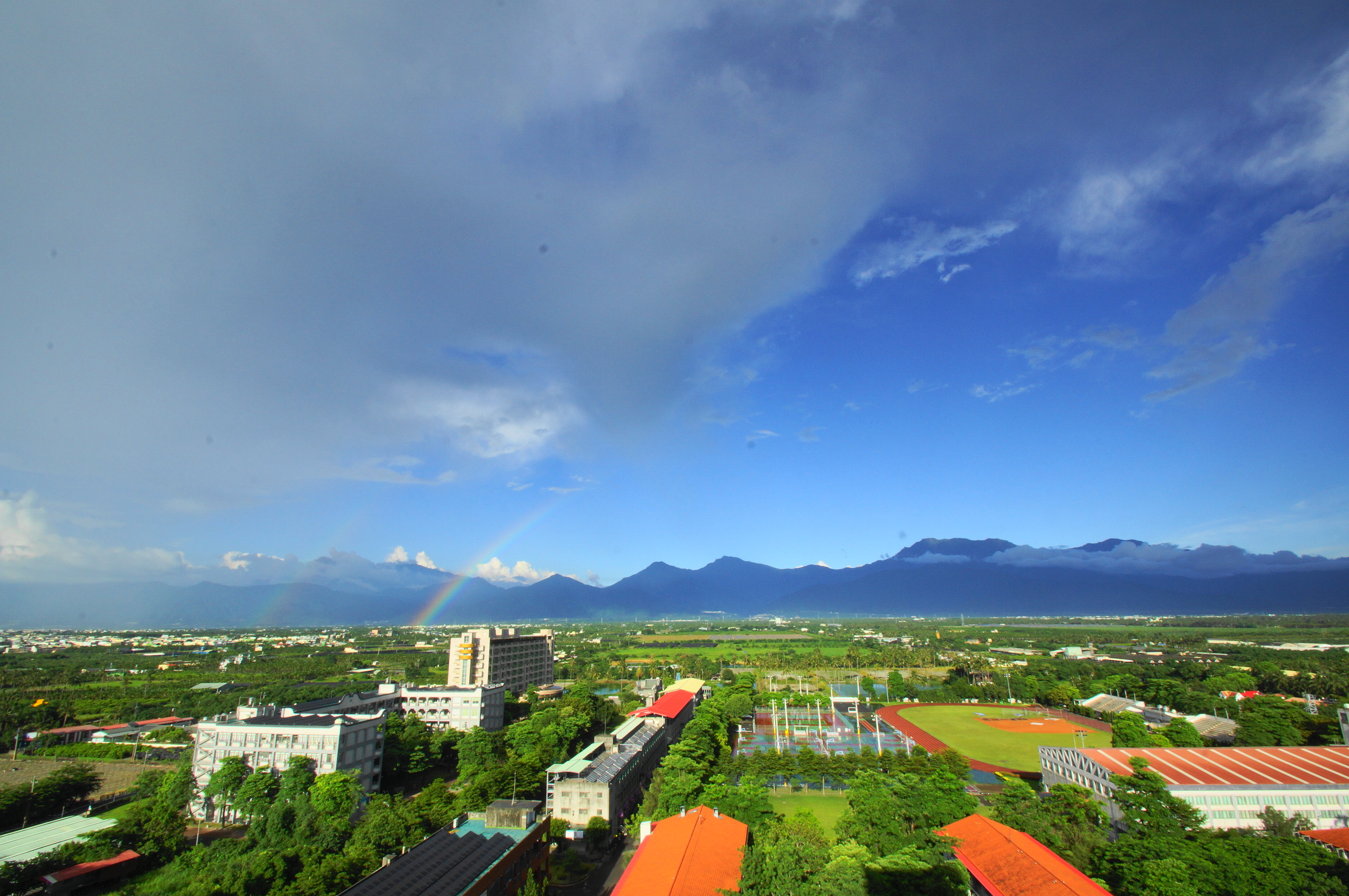
雨後的彩虹

2016-02-03_02-21-43
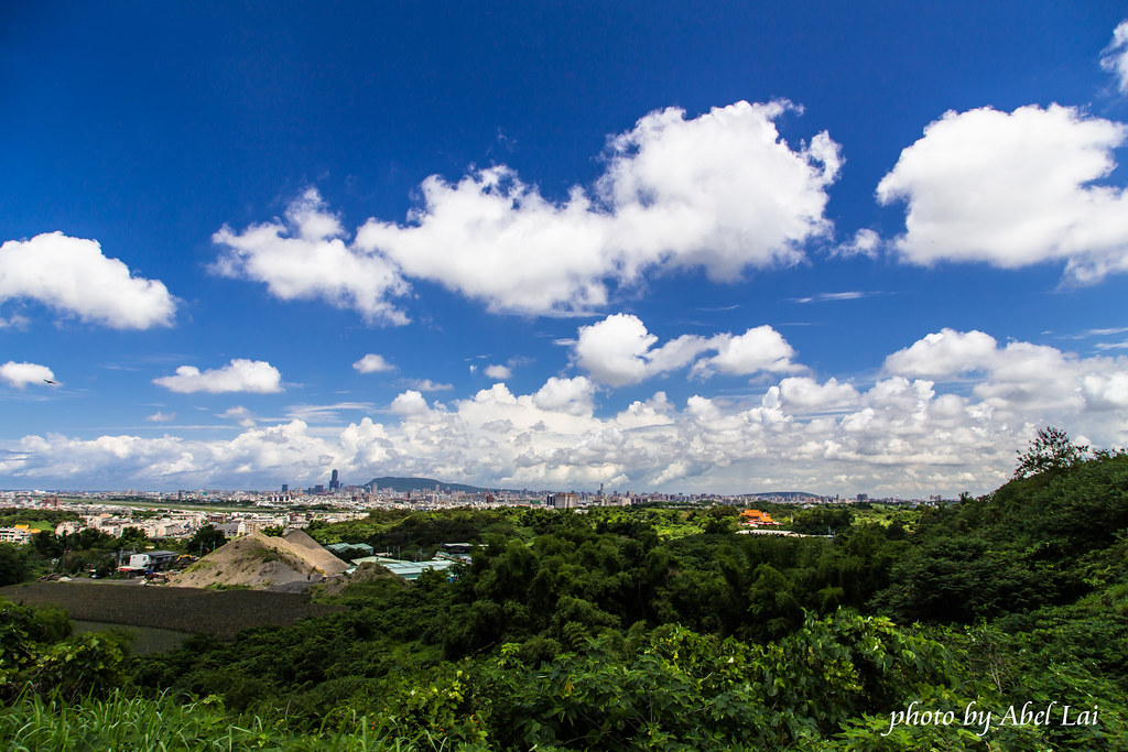
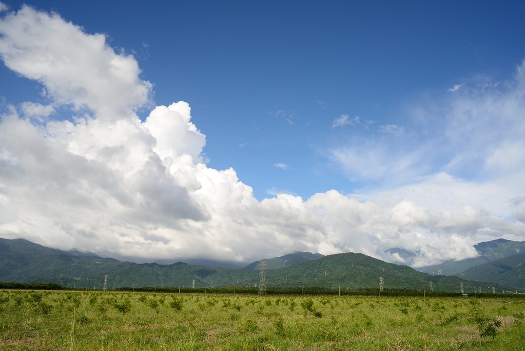
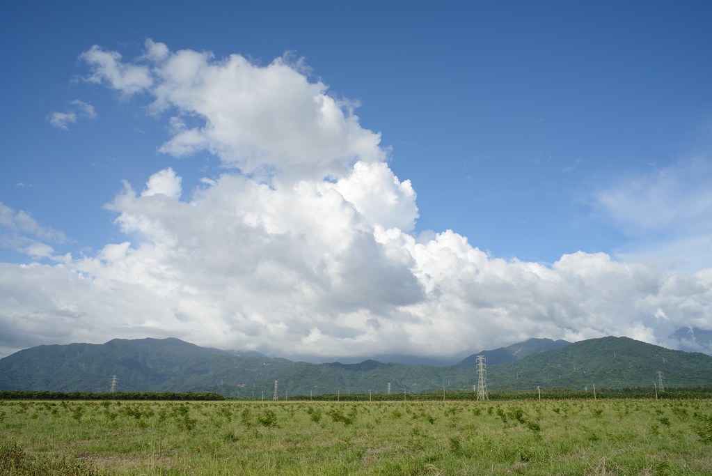
今天高雄的雲很精彩 Clouds Kaohsiung Taiwan
Topographic Map of No., Yongxing Rd, Zhutian Township, Pingtung County, Taiwan
Find elevation by address:

Places near No., Yongxing Rd, Zhutian Township, Pingtung County, Taiwan:
糶糴村
No., Zhongzheng Rd, Zhutian Township, Pingtung County, Taiwan
Zhutian Township
竹田村
37-7
Taiwan, Pingtung County, Chaozhou Township, 重義巷號
No., Daxue Rd, Wandan Township, Pingtung County, Taiwan
竹林村
富田村
No., Xintian Rd, Neipu Township, Pingtung County, Taiwan
9-1
Pingtung County
蓬萊里
No., Tanghua Rd, Neipu Township, Pingtung County, Taiwan
鹿寮村
No. 37, Yongkang Rd, Wanluan Township, Pingtung County, Taiwan
No. 21, Hexing Rd, Neipu Township, Pingtung County, Taiwan
西勢村
No. 56, Gaotian St, Wandan Township, Pingtung County, Taiwan
和興村
Recent Searches:
- Elevation of W Granada St, Tampa, FL, USA
- Elevation of Pykes Down, Ivybridge PL21 0BY, UK
- Elevation of Jalan Senandin, Lutong, Miri, Sarawak, Malaysia
- Elevation of Bilohirs'k
- Elevation of 30 Oak Lawn Dr, Barkhamsted, CT, USA
- Elevation of Luther Road, Luther Rd, Auburn, CA, USA
- Elevation of Unnamed Road, Respublika Severnaya Osetiya — Alaniya, Russia
- Elevation of Verkhny Fiagdon, North Ossetia–Alania Republic, Russia
- Elevation of F. Viola Hiway, San Rafael, Bulacan, Philippines
- Elevation of Herbage Dr, Gulfport, MS, USA