Elevation of Swoboda Road, Swoboda Rd, East Troy, WI, USA

Location: United States > Wisconsin > Walworth County > East Troy > East Troy >

Longitude: -88.417031

Latitude: 42.7598351

Elevation: 307m / 1007feet

Barometric Pressure: 98KPa

Elevation Map:

elevation map of Swoboda Road, Swoboda Rd, East Troy, WI, USA

Satellite Map:

Satellite map of Swoboda Road, Swoboda Rd, East Troy, WI, USA

Related Photos:

unitedstatesofamerica watertower wisconsin djimavicpro july aerial 2020 aerialphotography drone usa eagle
Eagle Water Tower
winter snow wisconsin farm soe redbarn christmascard oldworldwisconsin blueribbonwinner coth theworldwelivein supershot topshots waukeshacounty flickrsbest bej totalphoto abigfave currierandives anawesomeshot diamondclassphotographer flickrdiamond citrit theunforgettablepictures overtheexcellence concordians goldstaraward worldwidelandscapes rubyphotographer panoramafotográfico flickrclassique thebestofmimamorsgroups goldendiamondblog janekaufman sailsevenseas theoriginalgoldseal
In seed time learn, in harvest teach, in Winter enjoy ~William Blake
selfportrait dress bokeh softfocus day224 50mmf18 traintressel 365days
224/365
blacksmit forge hammer fire iron hot metal coals orange reflection window glass barn red sky
Working Thru the Pane
wisconsin outdoor nature paradisesprings water trees landscape canon eosr
Paradise Springs
selfportrait eye creeper day75 clamshell halfface 365days
75/365
wisconsin unitedstates eagle
Paradise Springs
carshow waterfordlionscarshow waterford wisconsin 2020 september usa unitedstates automobile tinyplanet 360panorama insta 360 one r
Waterford Lions Car Show Tiny Planet
selfportrait feet skirt flats rights day82 365days
82/365
2018 drone dji littleplanet aerialphotography wisconsin 360panorama july aerial unitedstates djimavicpro mukwonago tinyplanet us
Holz Parkway
2017 us12 elkhorn drone i43 dji highway littleplanet wisconsin 360panorama djimavicpro panorama aerial aerialphotography august tinyplanet unitedstates us
Concrete Spaghetti
water lake nuphar pondlily wisconsin lululake walworthcounty
Frog's-Eye View Of Lulu Lake, Walworth County, Wisconsin
waukeshacounty november drone mukwonago dji mavic panorama wisconsin 360panorama unitedstates djimavicpro aerial aerialphotography usa 2017 us
Lower Phantom Lake Little Planet
flowers selfportrait dark outside day221 50mmf18 365days
221/365
up wisconsin us ride unitedstates balloon july hotairballoon waterford balloonfestival ake 2016 racinecounty waterfordwisconsin waterfordballoonfestival
Looking Straight Up
travel light usa colors canon landscape geotagged photography flickr llens 5dmkii nicolasimages
Sun Behind Light Clouds Over Fresh Wet Early March Snowfall in Southern Waukesha County
unitedstatesofamerica watertower wisconsin july aerial 2020 aerialphotography drone usa mukwonago
Mukwonago Water Tower 2
unitedstatesofamerica watertower wisconsin july aerial 2020 aerialphotography drone usa mukwonago
Mukwonago Water Tower
2018 waukeshacounty unitedstatesofamerica mukwonago littleplanet dji mavic unitedstates wisconsin usa july djimavicpro aerial aerialphotography drone tinyplanet us
Happy Planet
waukeshacounty november drone mukwonago dji mavic panorama wisconsin 360panorama unitedstates djimavicpro aerial aerialphotography usa 2017 us
Downtown Mukwonago 360 Panorama
december usa mukwonago panorama drone sphericalpanorama aerial dji waukeshacounty phantomglenpark wisconsin 360panorama 2017 phantomlake unitedstates djimavicpro lowerphantomlake aerialphotography us
Frozen Phantom Lake Little Planet
mukwonago wisconsin unitedstates us
Frozen Phantom Lake 360 Panorama.jpg
waukeshacounty usa 2017 dji mavic wisconsin drone mukwonago djimavicpro unitedstates aerialphotography aerial december us
Snow Covered Subdivision
phantomglenpark mukwonago landscape sunset wisconsin unitedstates usa park 2020 phantomlake lake april unitedstatesofamerica
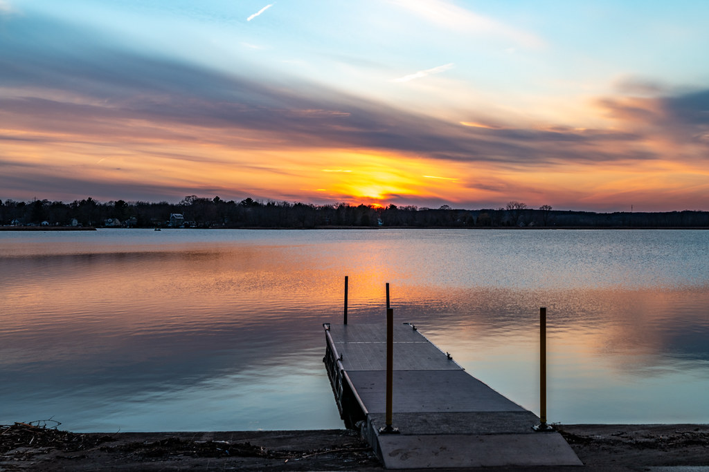
Phantom Lake Sunset - Explored
waukeshacounty usa 2017 dji christmasday2017 wisconsin drone mukwonago djimavicpro unitedstates aerialphotography aerial december us
Christmas Sunset
nature trees lake rainbowspringslake wisconsin winter midest canoneos5dmarkiii canonef1635mmf4lis
All Is Calm
2018 waukeshacounty usa drone dji mavic mukwonago wisconsin 360panorama july unitedstates aerial aerialphotography unitedstatesofamerica djimavicpro us
Fox and Mukwonago Rivers 360 Pano
county travel carnival blue light sky abstract color art classic beautiful wheel electric horizontal wisconsin dark landscape fun outdoors lights golden evening design big ride dusk steel statefair fineart lightbulbs machine bluesky fair ferris illuminated lookingup celebration entertainment vision manmade ferriswheel tall recreation copyspace thingstodo summerfun bigwheel countyfair 4h wi enjoyment lattice fayre girders clearsky gondolas elkhorn agriculturalfair carnivalride artistry walworth stockphotography rurallife royaltyfree colorimage geometricshape creativelighting tallstructure crossbeams funatthefair walworthcountyfair summerlights summerinwisconsin mechanicalapparatus thingstodointhesummer
Chariots of Gold
sunset wisconsin landscape nikon tokina 1224mm hdr d7000 topazadjust stunningphotogpin
"Living In The Limelight, The Universal Dream"
road field clouds canon landscape landscapes highway horizon country farmland prairie landscapephotography discoverwisconsin travelwisconsin 5dmarkiii statehwy11 wicounties springprairiewi
Cloudy Path
autumn wisconsin rural october barns farms blueribbonwinner supershot walworthcounty theunforgettablepictures newagecrapphotography
Midday Midway Barn
field clouds canon landscape horizon country panoramic farmland crop landscapephotography discoverwisconsin travelwisconsin 5dmarkiii statehwy20 andrewslaterphotography springprairiewi
Spring Prairie Stretch
trees usa 2017 landscape march forest wisconsin pine kettlemorainestateforest panorama sphericalpanorama rainbowsprings rainbowspringspark mukwonago unitedstates us
Kettle Moraine State Forest Mukwonago River Unit
trees winter sunset snow ice nature wisconsin canon landscape frozen pond unitedstates eagle landscapephotography discoverwisconsin travelwisconsin 5dmarkiii andrewslaterphotography paradisespringnaturetrail
Winter Peace
roof winter red fall field grass metal wisconsin barn rural canon fence buildings rust farm farming ruin rusty silo abandon rusted cupola fields rusting agriculture desolate wi deserted dairybarn elkhorn deteriorating farmstead delapitated cupolas elkhornwi t5i roofaerator
Rusty Roof
trees sky nature wisconsin clouds landscape spring unitedstates april oaktree mukwonago 2015
Double Tree
park street travel carnival blue light sunset summer sky people sunlight playing motion color colour beautiful weather wheel wisconsin rural sunrise landscape fun outdoors dawn lights amusement countryside moving midwest ride arms mechanical action dusk air statefair joy perspective fair ferris swing lookingup celebration machinery entertainment gravity seats carnivale ferriswheel amusementpark recreation through swinging activity midway countyfair 4h hue wi yoyo fayre smalltown agricultural clearsky carny elkhorn stockphoto walworth stockphotography destinations unrecognizable walworthcountyfair farigrounds fairraid
Summer's End
bridge abandoned architecture clouds burlington sunrise canon landscape horizon trail railbridge burlingtonwi discoverwisconsin 5dmarkiii whiteriverstatetrail andrewslaterphotography wicounties
Blazing Rail Bridge
sunset silhouette wisconsin clouds unitedstates mukwonago altostratusclouds
A is for Altostratus Clouds
field clouds canon landscape horizon country farmland landscapephotography discoverwisconsin travelwisconsin 5dmarkiii andrewslaterphotography statehwy11 wicounties springprairiewi
Green Expanse