Elevation of N WI-, Burlington, WI, USA
Location: United States > Wisconsin > Racine County > Burlington >
Longitude: -88.40174
Latitude: 42.715285
Elevation: -10000m / -32808feet
Barometric Pressure: 295KPa
Elevation Map:
Satellite Map:
Related Photos:

224/365

Lake Geneva Shoreline Path with Sun Setting Through the Grass

75/365

Nearing the end

209/365

82/365

Mess of Catails 52-2
Gimme Knucks Bro

214/365

221/365

Walworth County, WI Sheriff Ford Police Interceptor Sedan

valley fog

194/365

Lake Geneva 2007

Concrete Spaghetti

Tim landing
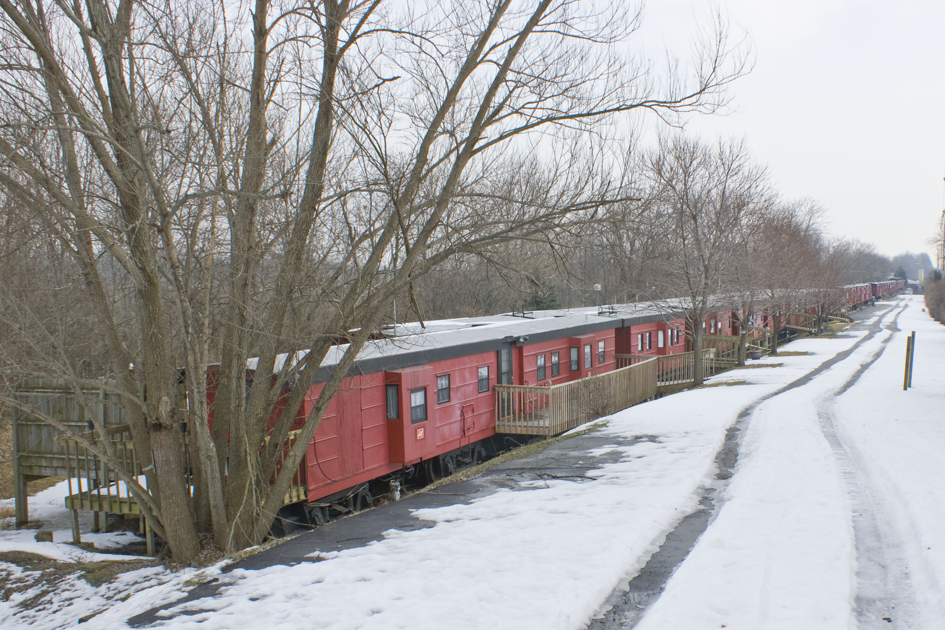
End of the Line

140/365

Goose Barn

232/365

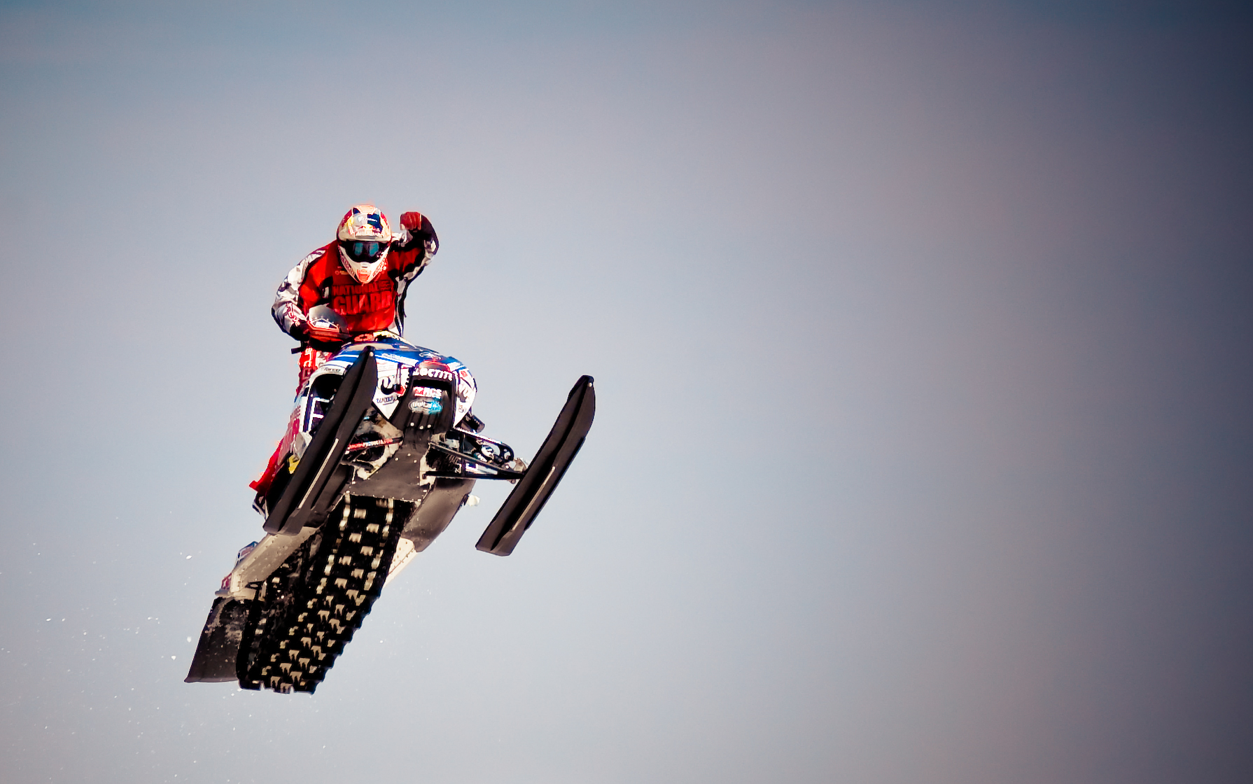
Taking Flight 52-24

Cabana on Peninsula of Lake Geneva's East Shore as Setting Sun Touch's Horizon

Midday Midway Barn

Ice Lake

Blazing Rail Bridge

More foreign power

Sunday day out

Boat tours

Harvest Barn

Lake Front

Rusty Roof

Import 1

Mukwonago River Dam

Eagle Spring Lake

Lulu Lake State Natural Area

52-52 Sunset on the Trees of Wisconsin.jpg

Crooked Creek Preserve
All Is Calm
Rainbow Springs Lake
Topographic Map of N WI-, Burlington, WI, USA
Find elevation by address:

Places near N WI-, Burlington, WI, USA:
Spring Prairie
N6224 Hargraves Rd
Alpine Valley Resort
W2245 Swoboda Rd
Swoboda Road
Alpine Valley
East Troy
Troy
East Troy
N8575
Lafayette
W2446 Valley Rd
Potter Lake
N9124
Troy
S107w34834 S Shore Dr
W309
Waterford
Mukwonago
W370 S9590 Wi-67
Recent Searches:
- Elevation of Elwyn Dr, Roanoke Rapids, NC, USA
- Elevation of Congressional Dr, Stevensville, MD, USA
- Elevation of Bellview Rd, McLean, VA, USA
- Elevation of Stage Island Rd, Chatham, MA, USA
- Elevation of Shibuya Scramble Crossing, 21 Udagawacho, Shibuya City, Tokyo -, Japan
- Elevation of Jadagoniai, Kaunas District Municipality, Lithuania
- Elevation of Pagonija rock, Kranto 7-oji g. 8"N, Kaunas, Lithuania
- Elevation of Co Rd 87, Jamestown, CO, USA
- Elevation of Tenjo, Cundinamarca, Colombia
- Elevation of Côte-des-Neiges, Montreal, QC H4A 3J6, Canada