Elevation of Sweetwater, TN, USA
Location: United States > Tennessee > Monroe County > Sweetwater >
Longitude: -84.365079
Latitude: 35.5782151
Elevation: 309m / 1014feet
Barometric Pressure: 98KPa
Elevation Map:
Satellite Map:
Related Photos:

Jump In!
A View of the Fort's Interior
Fort Loudon view

1953 Studebaker Commander Starlight Coupe

near Miller St & Fowler St
mom' view from back porch
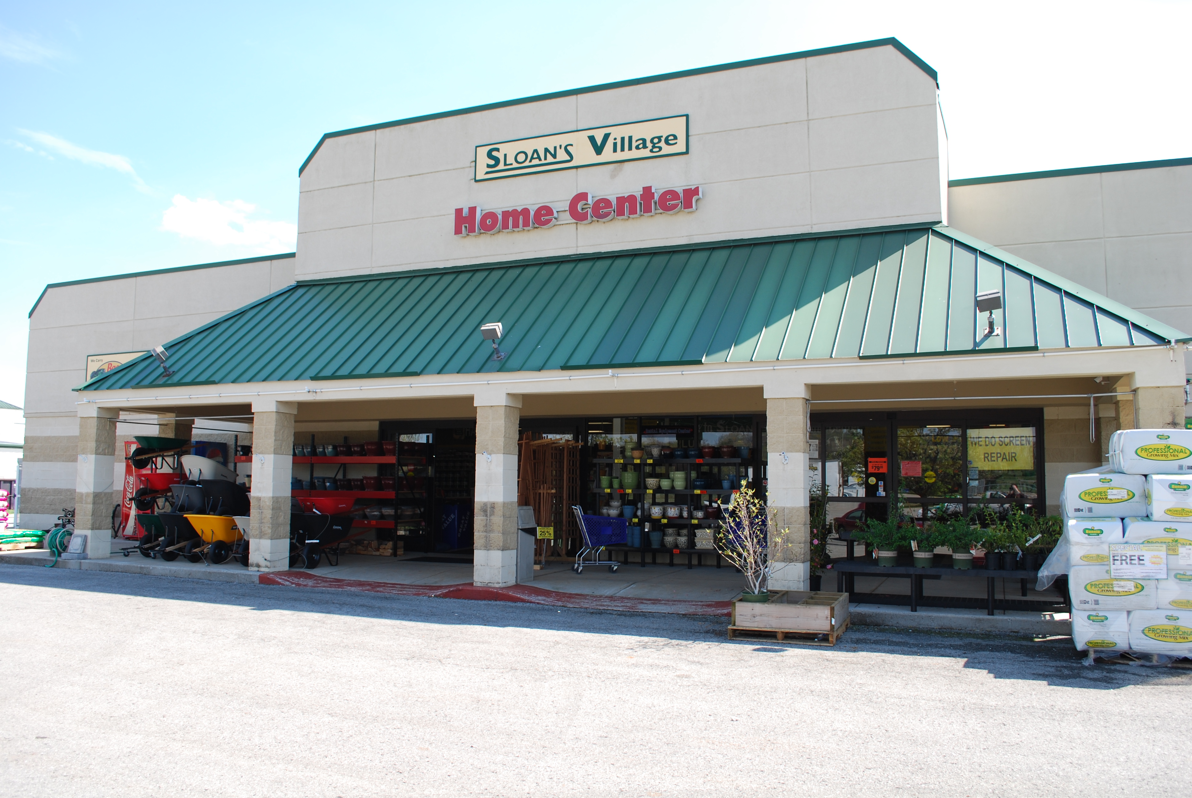
Sloan Hardware -A TRADITION OF RETAIL
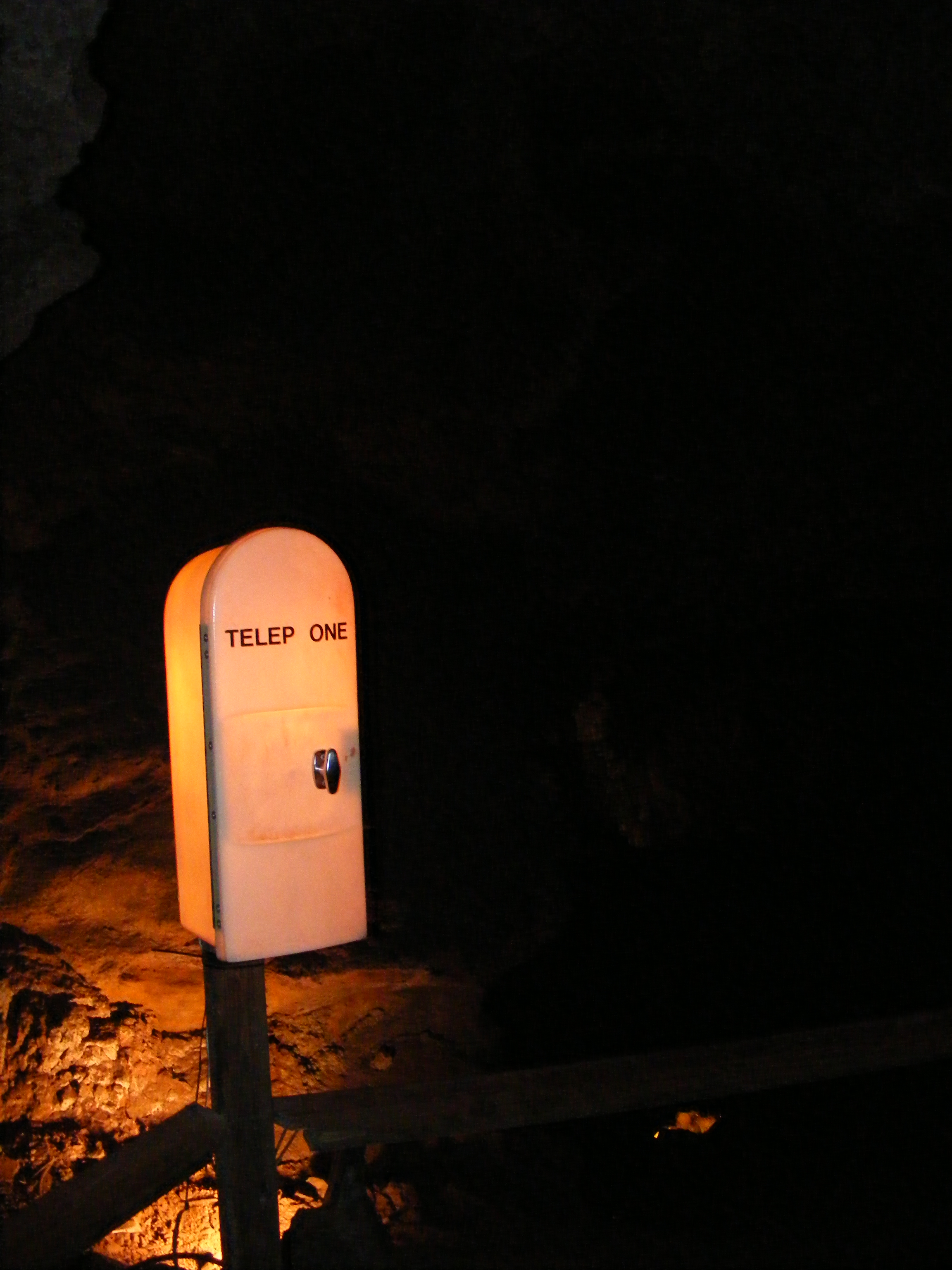
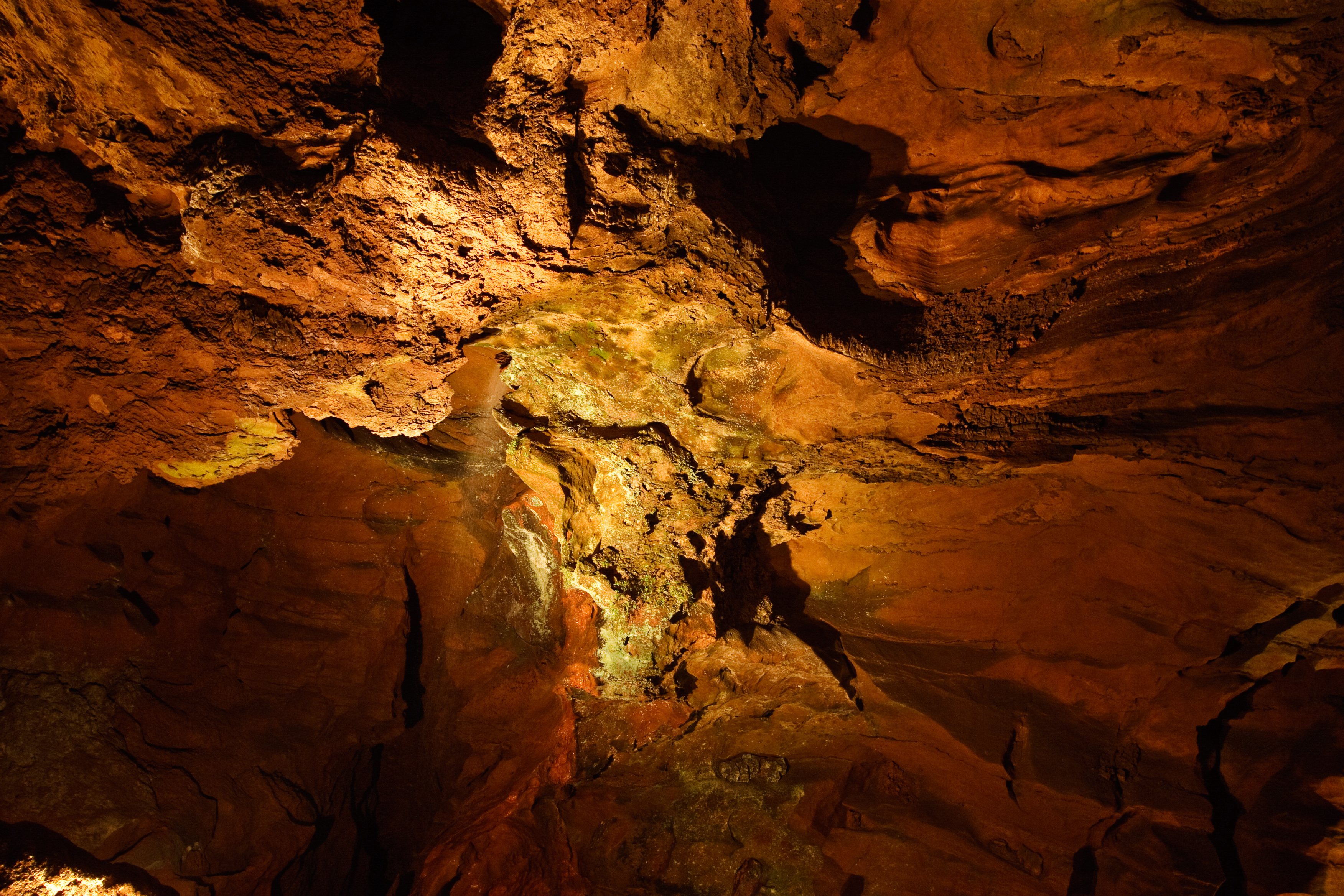
TELEP ONE in The Lost Sea Cave
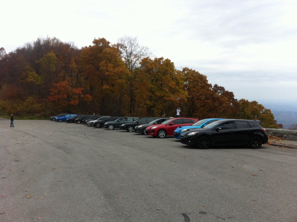
View from the top of the skyway
2:33pm

20120517-165310-IMG_3516
20120517-171421-IMG_3524

Storm Run off
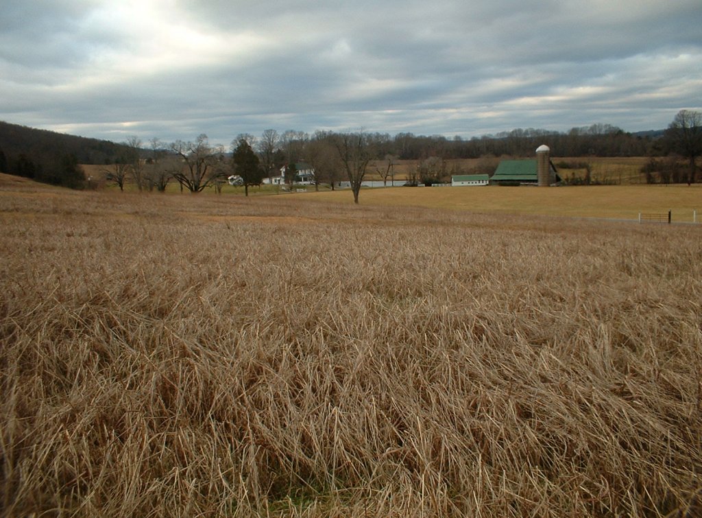
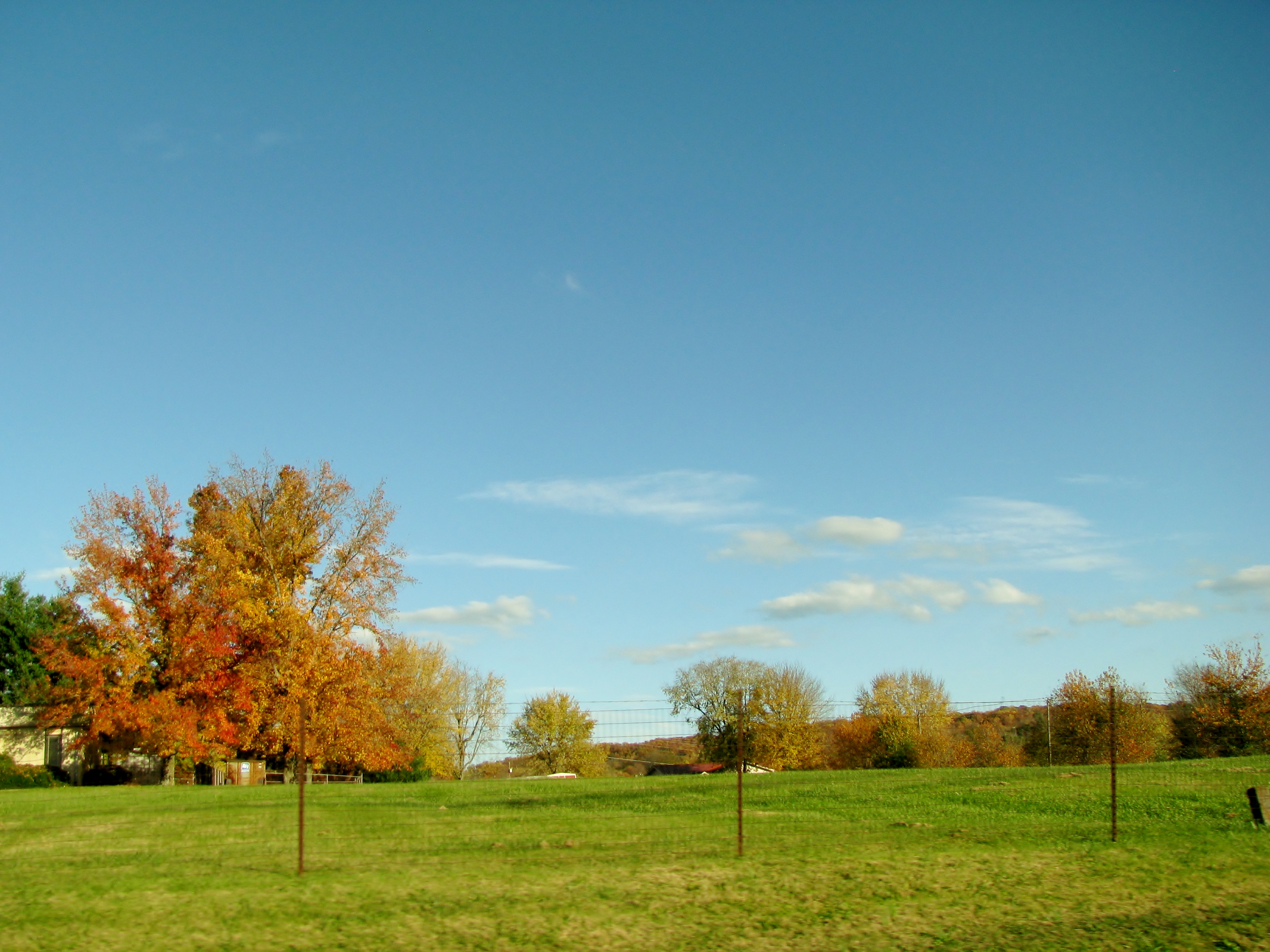
Happy Hollow Farm, Oakland Road, Sweetwater, Tennessee, 2-15-2003
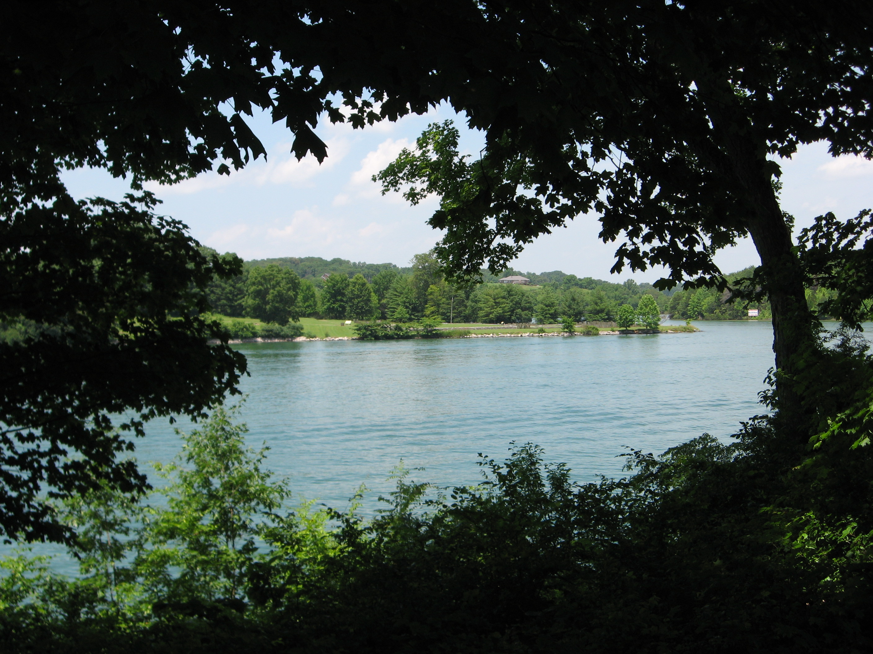
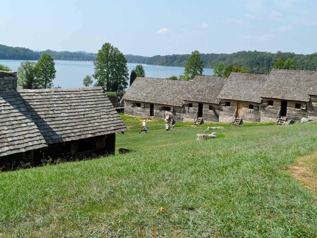
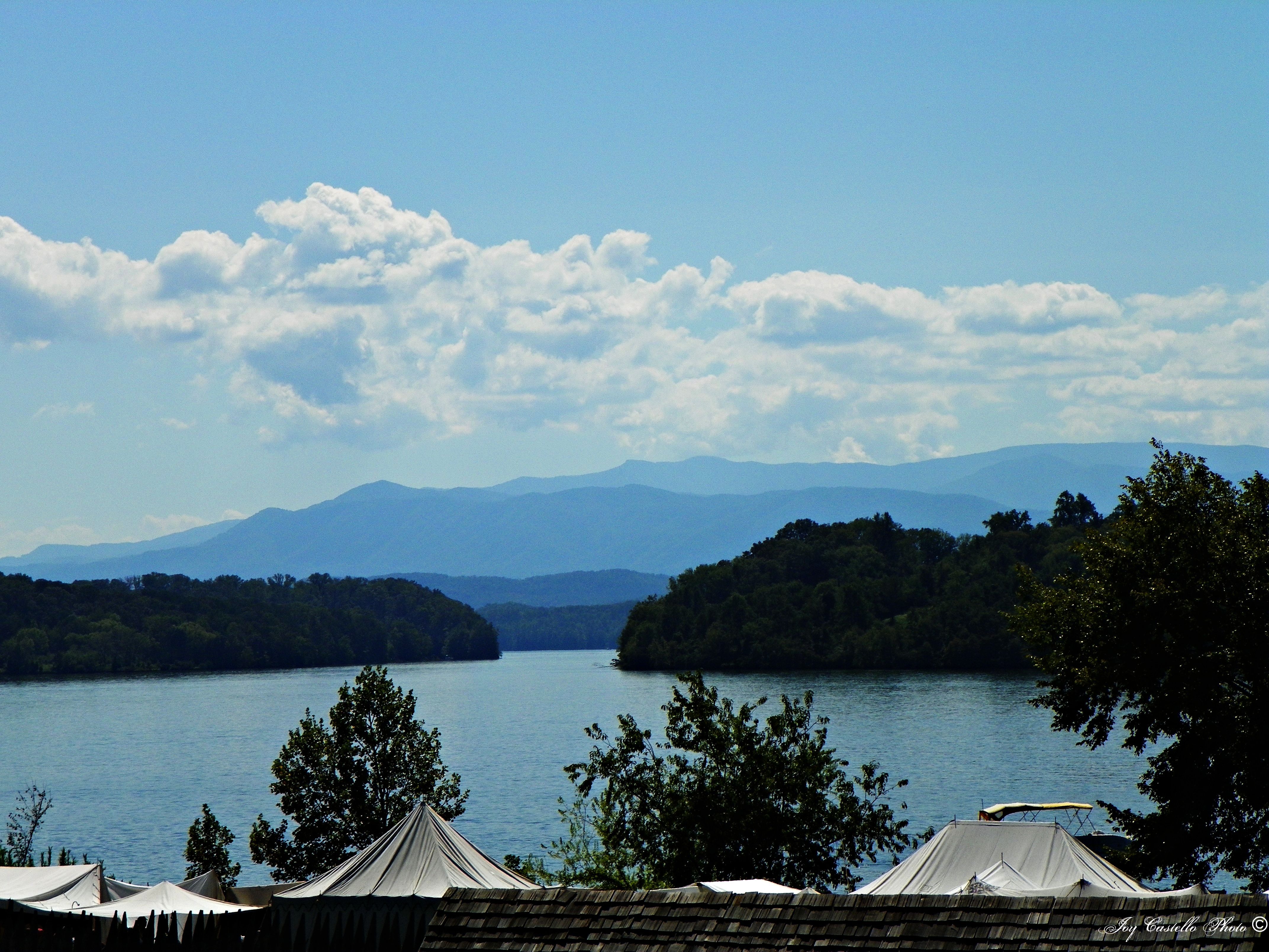
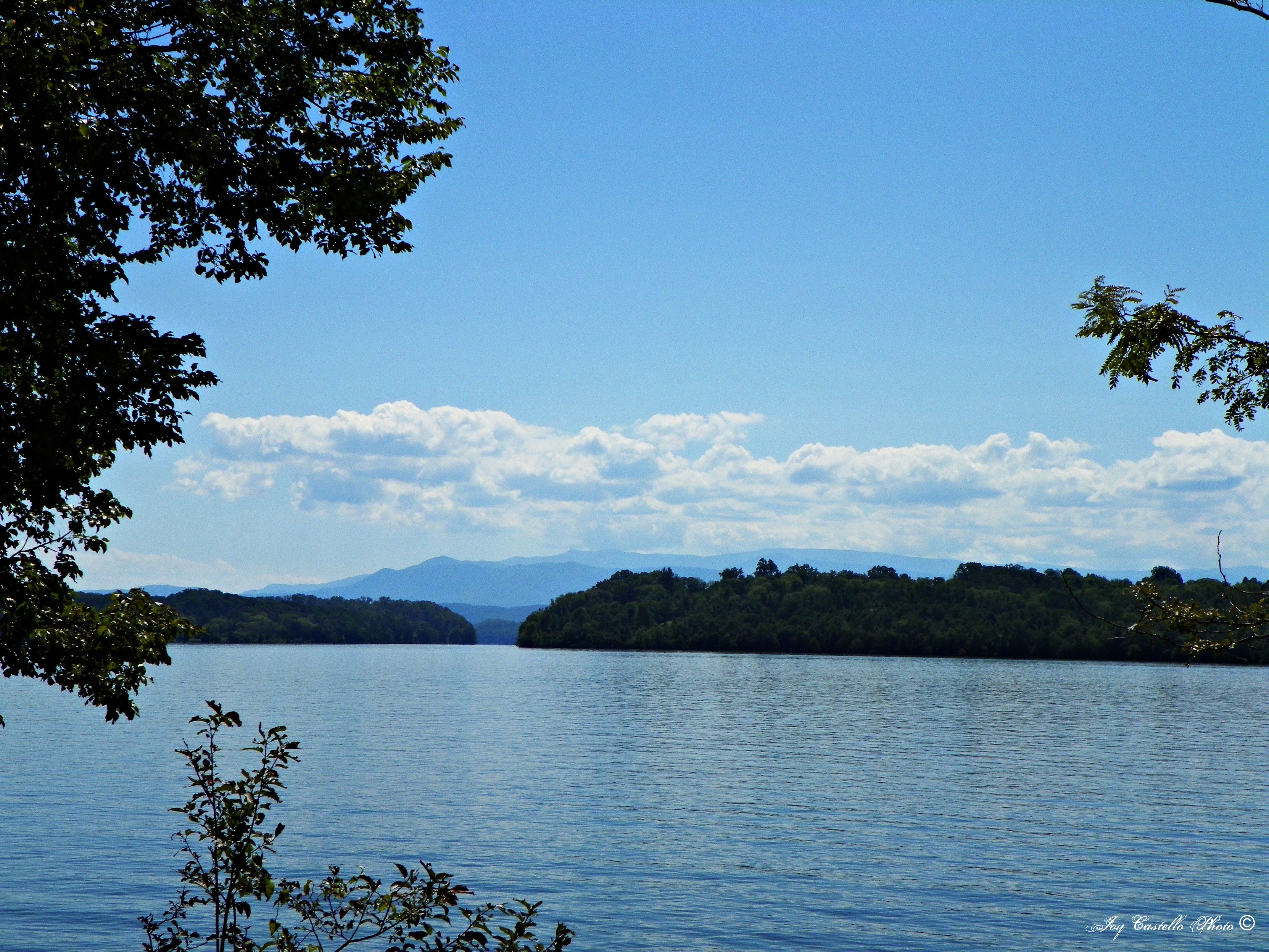
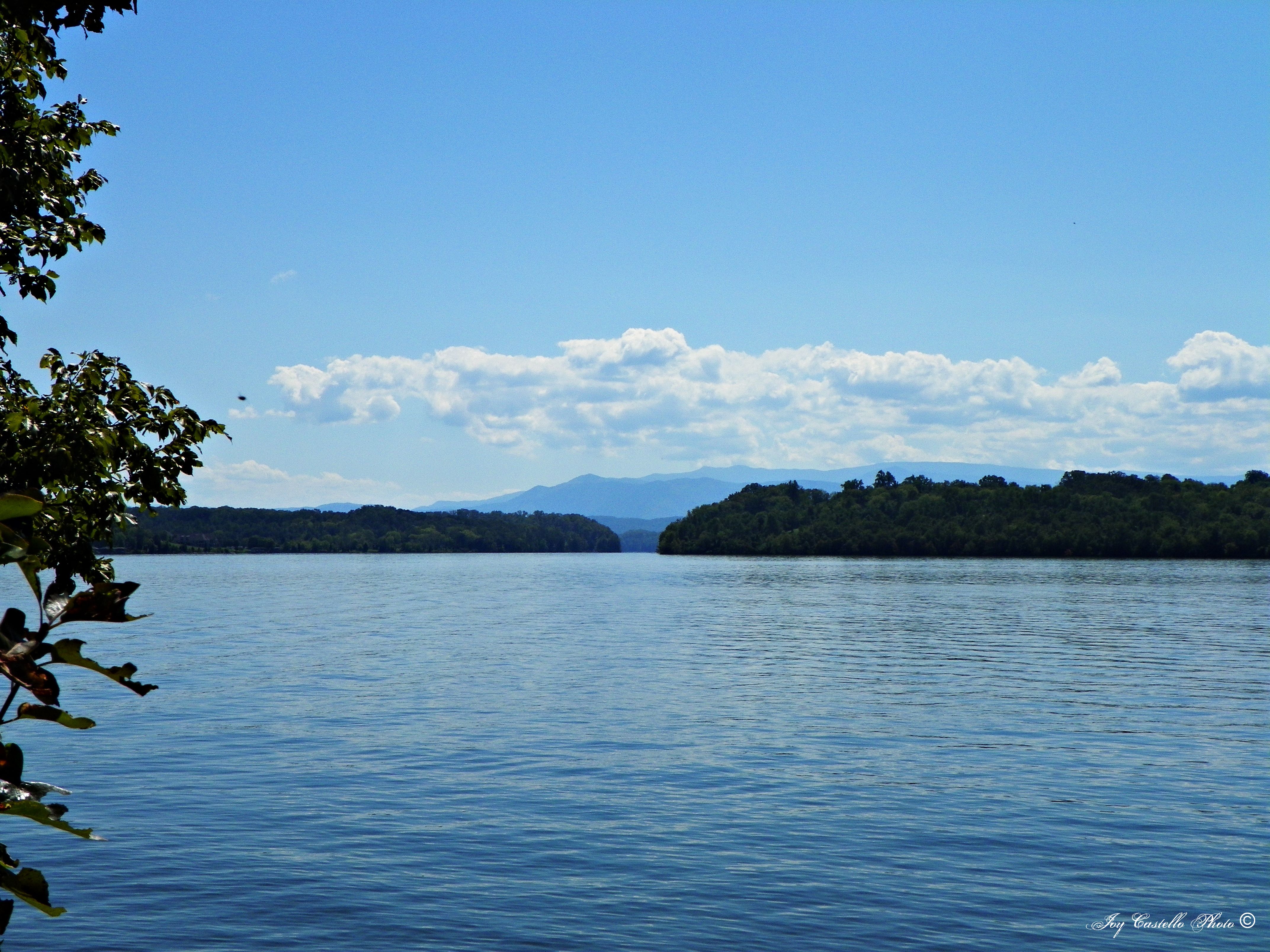
Tellico Lake
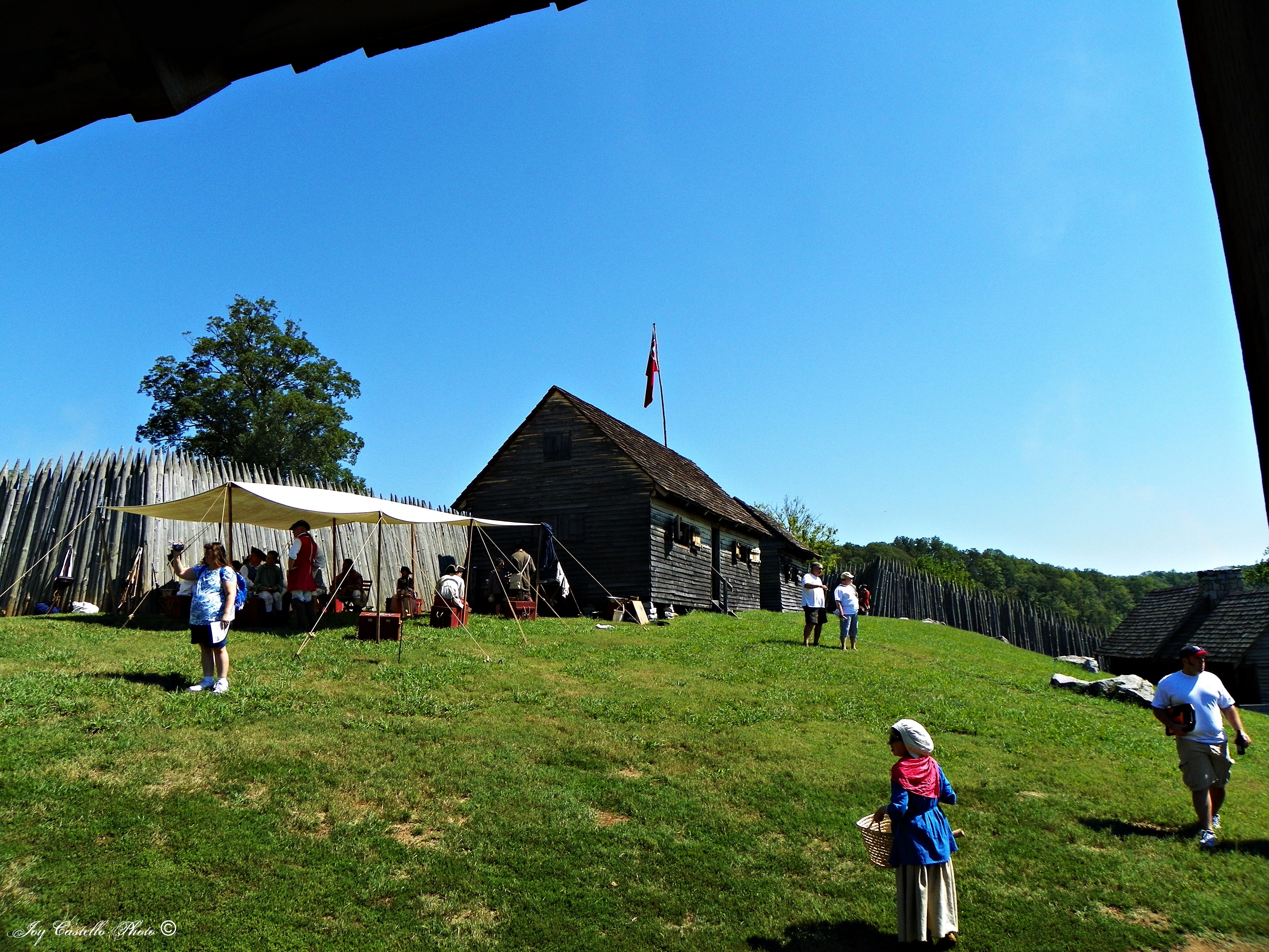
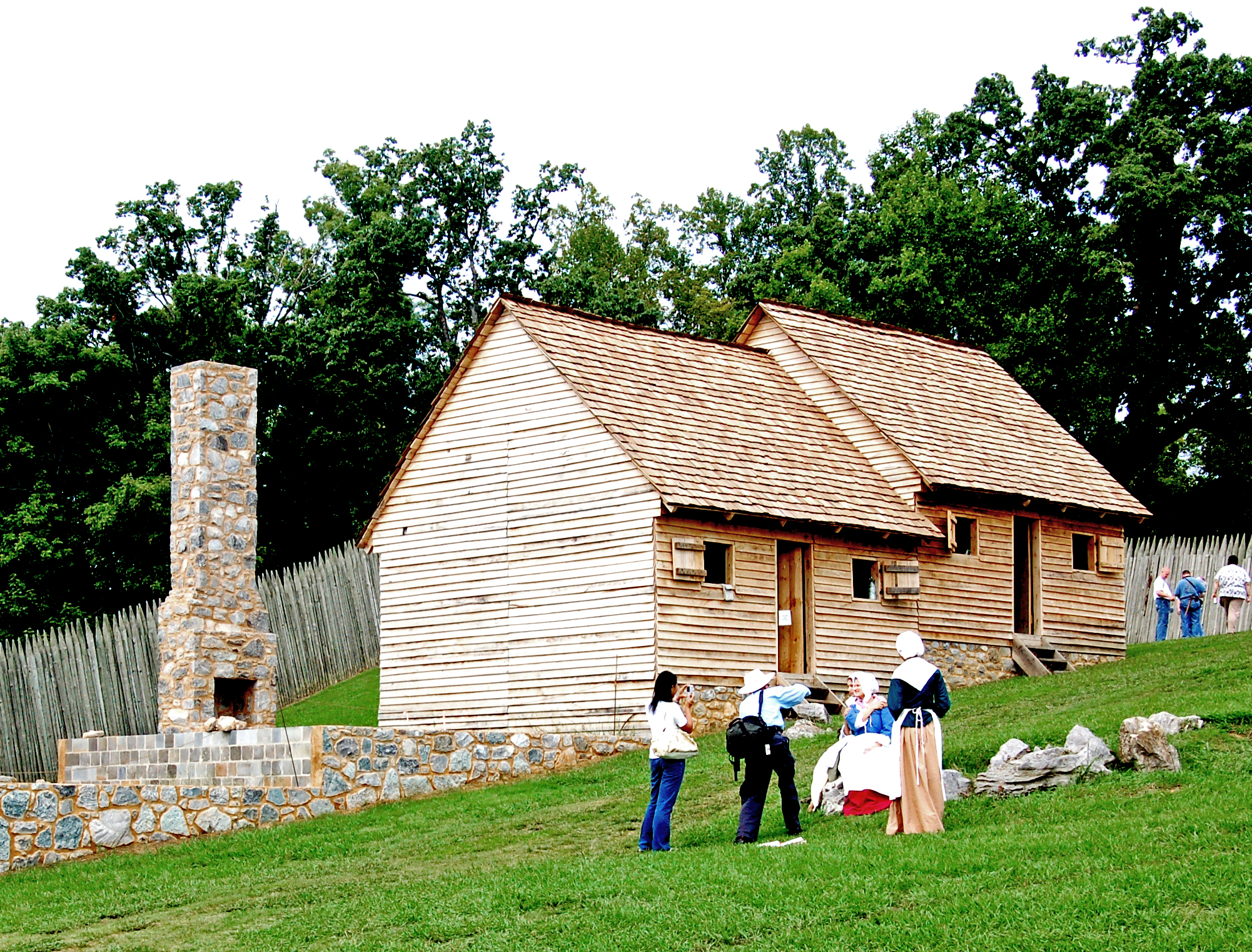
Fort Loudoun 18th Century Trade Faire

Rock City Gardens Barn
Fort Loudoun 18th Century Trade Faire
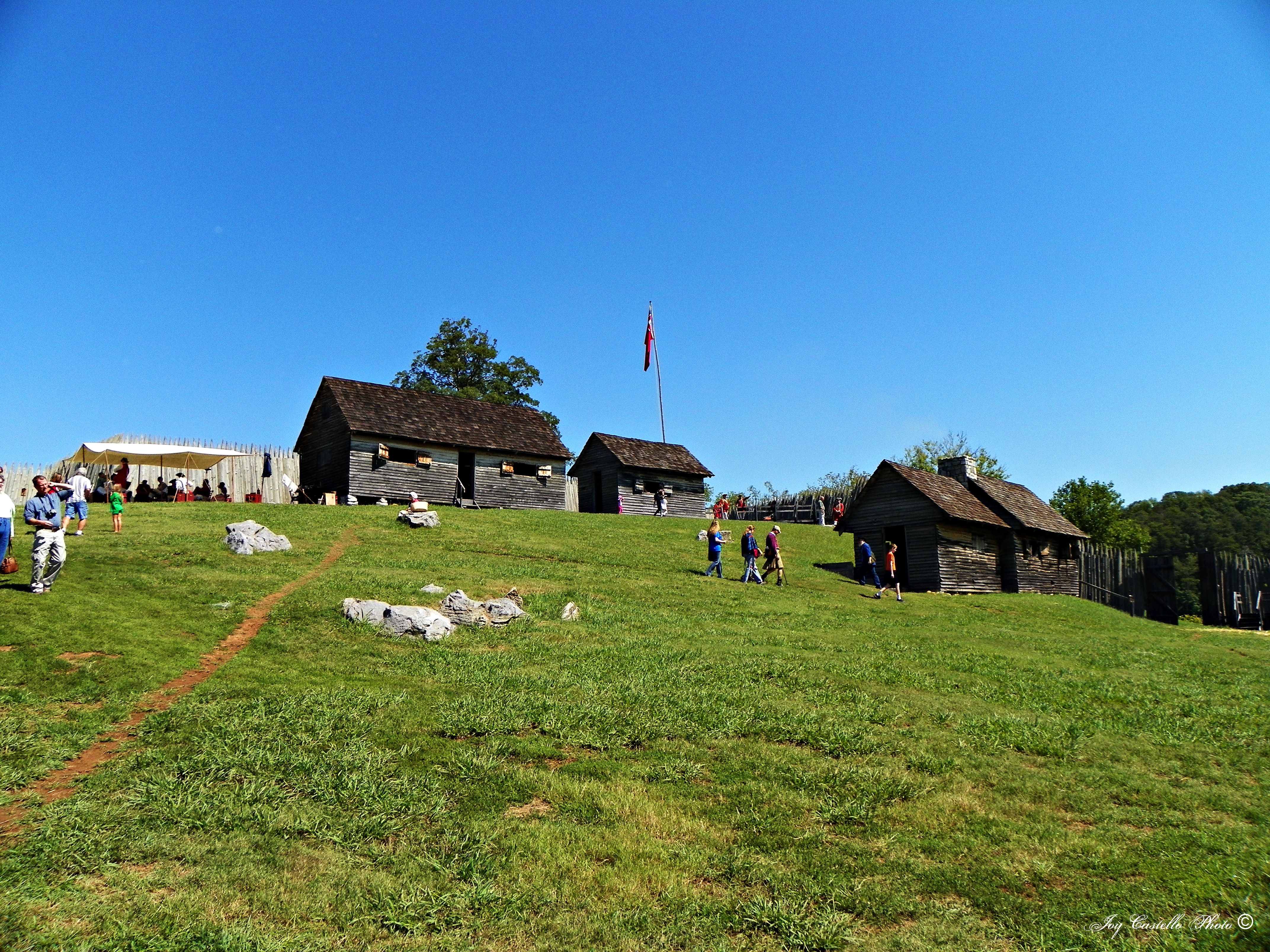
Fort Loudoun 18th Century Trade Faire
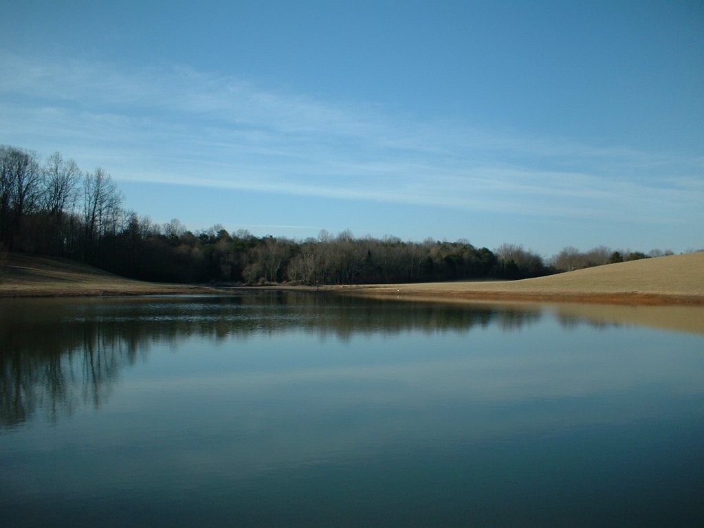
Pond, Oakland Road, Sweetwater, Tennessee
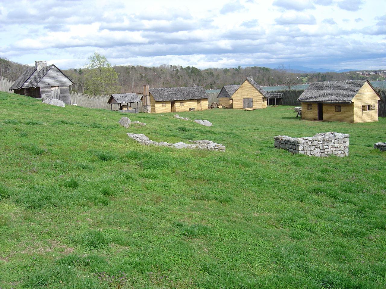
Ft Loudon- Monroe Co TN (2)
Fort Loudoun 18th Century Trade Faire
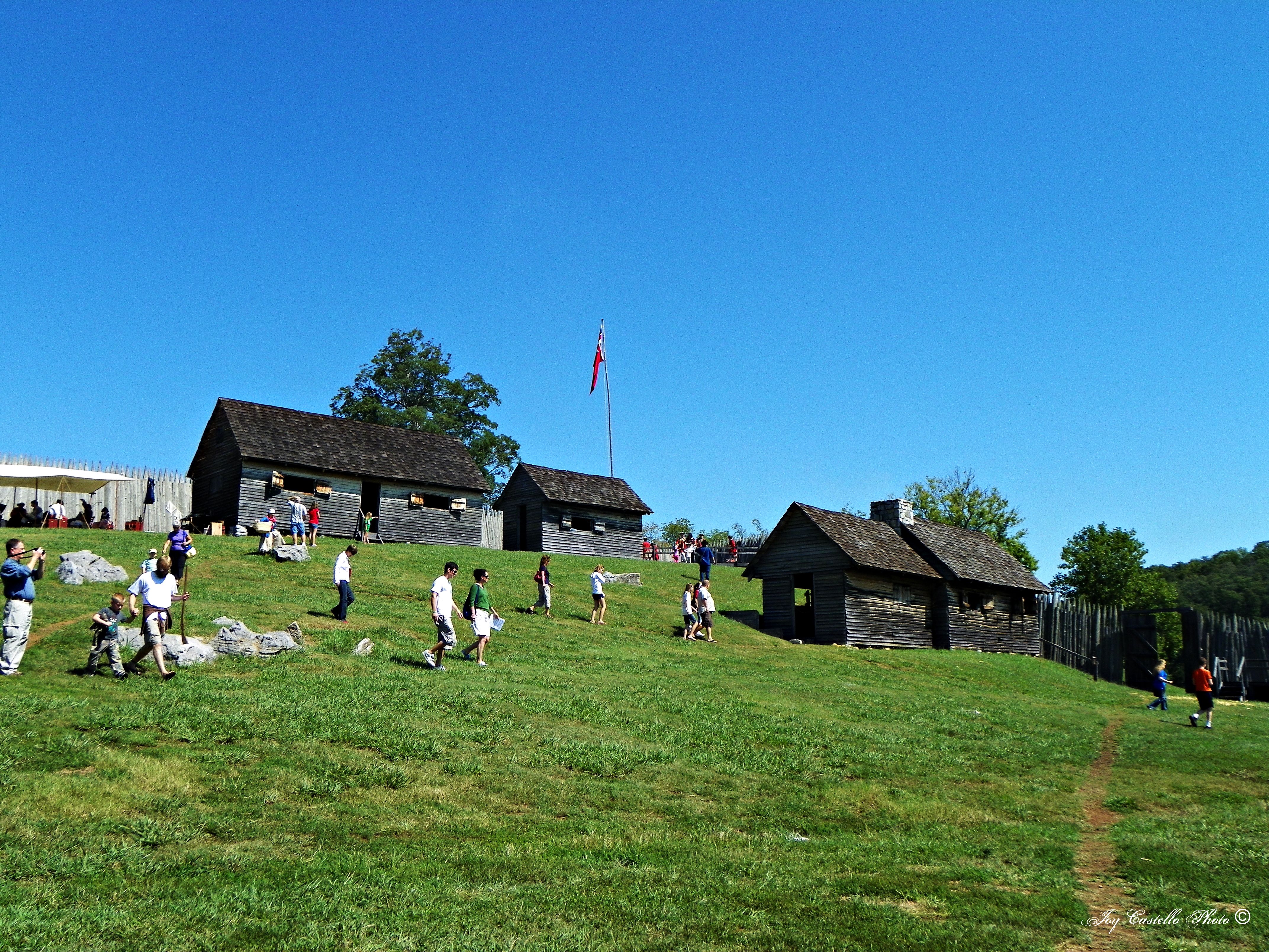
Fort Loudoun 18th Century Trade Faire
Fort Loudoun 18th Century Trade Faire
Fort Loudoun 18th Century Trade Faire

This Bird Has Flown

Freedom of Choice

20120517-165416-IMG_4127

Chattanooga 2009
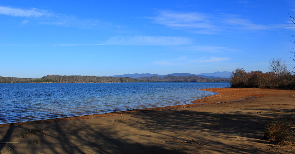
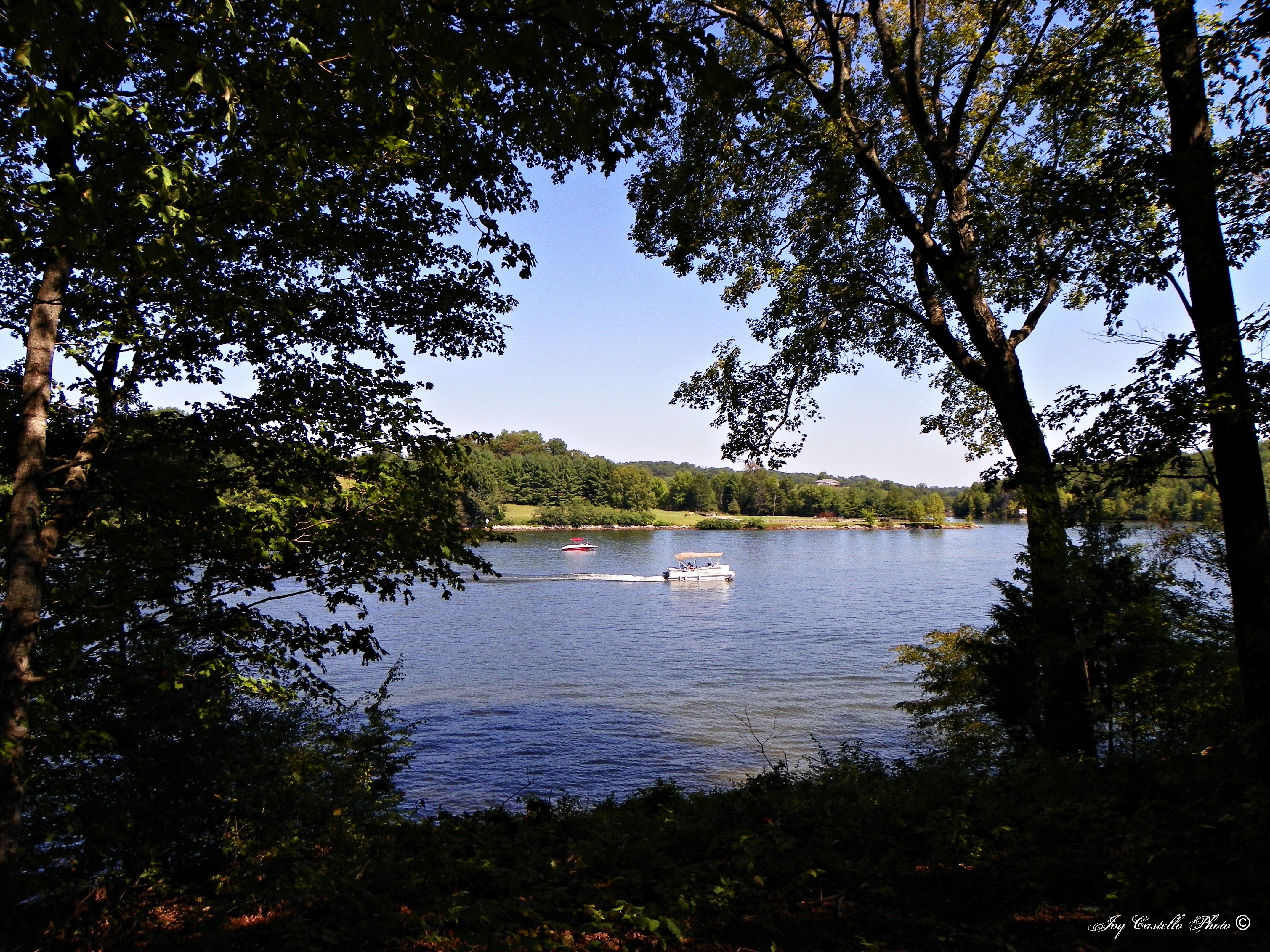
Tellico Lake Shore
random pic
Topographic Map of Sweetwater, TN, USA
Find elevation by address:

Places near Sweetwater, TN, USA:
803 325
1349 Hiwassee Rd
2131 Hiwassee Rd
Hiwassee Rd, Sweetwater, TN, USA
160 Hull Rd
109 Budd St
1101 Oak Grove Rd
741 Dogwood Dr
Madisonville
2989 Us-411
1478 Niles Ferry Rd
US-, Madisonville, TN, USA
4208 Sweetwater Vonore Rd
Seed Tick Rd, Philadelphia, TN, USA
220 Moat Sewell Rd
106 Holloway Rd
Sweetwater Vonore Road
26 Excellence Way
2101 Varner Hollow Rd
2080 Federal Rd
Recent Searches:
- Elevation of Deep Gap Farm Rd E, Mill Spring, NC, USA
- Elevation of Dog Leg Dr, Minden, NV, USA
- Elevation of Dog Leg Dr, Minden, NV, USA
- Elevation of Kambingan Sa Pansol Atbp., Purok 7 Pansol, Candaba, Pampanga, Philippines
- Elevation of Pinewood Dr, New Bern, NC, USA
- Elevation of Mountain View, CA, USA
- Elevation of Foligno, Province of Perugia, Italy
- Elevation of Blauwestad, Netherlands
- Elevation of Bella Terra Blvd, Estero, FL, USA
- Elevation of Estates Loop, Priest River, ID, USA