Elevation map of Swat, Pakistan
Location: Pakistan > Khyber Pakhtunkhwa >
Longitude: 72.5204827
Latitude: 35.4920326
Elevation: 3145m / 10318feet
Barometric Pressure: 69KPa
Elevation Map:
Satellite Map:
Related Photos:
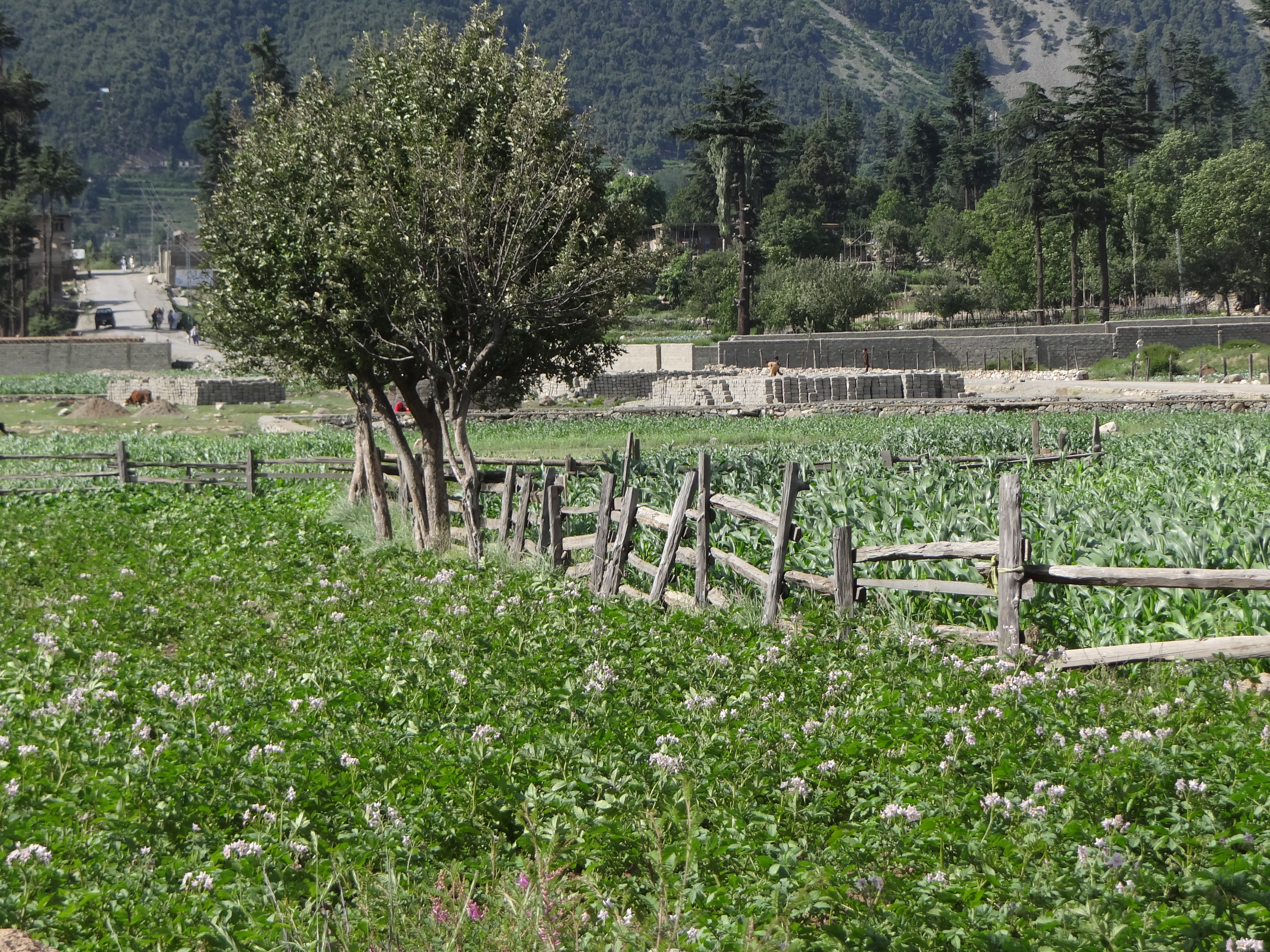
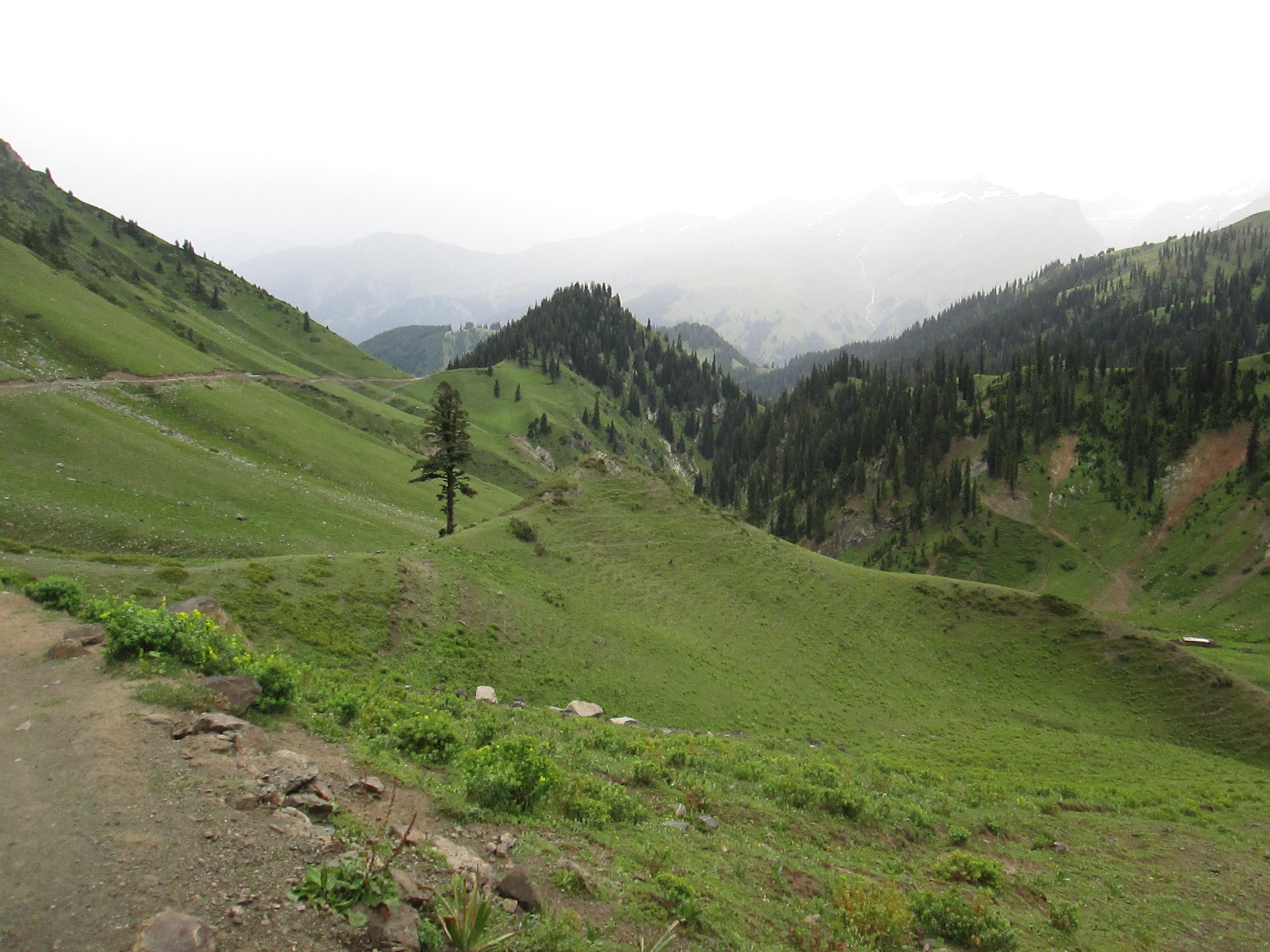
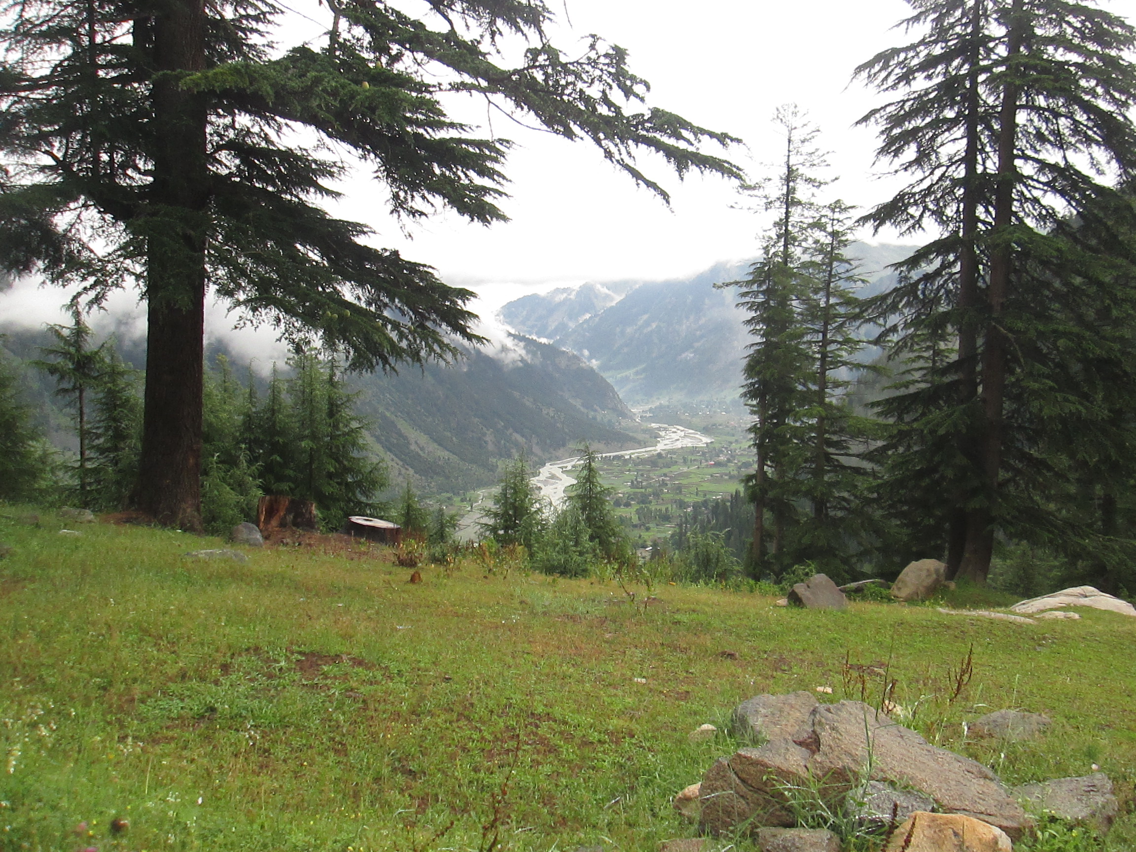
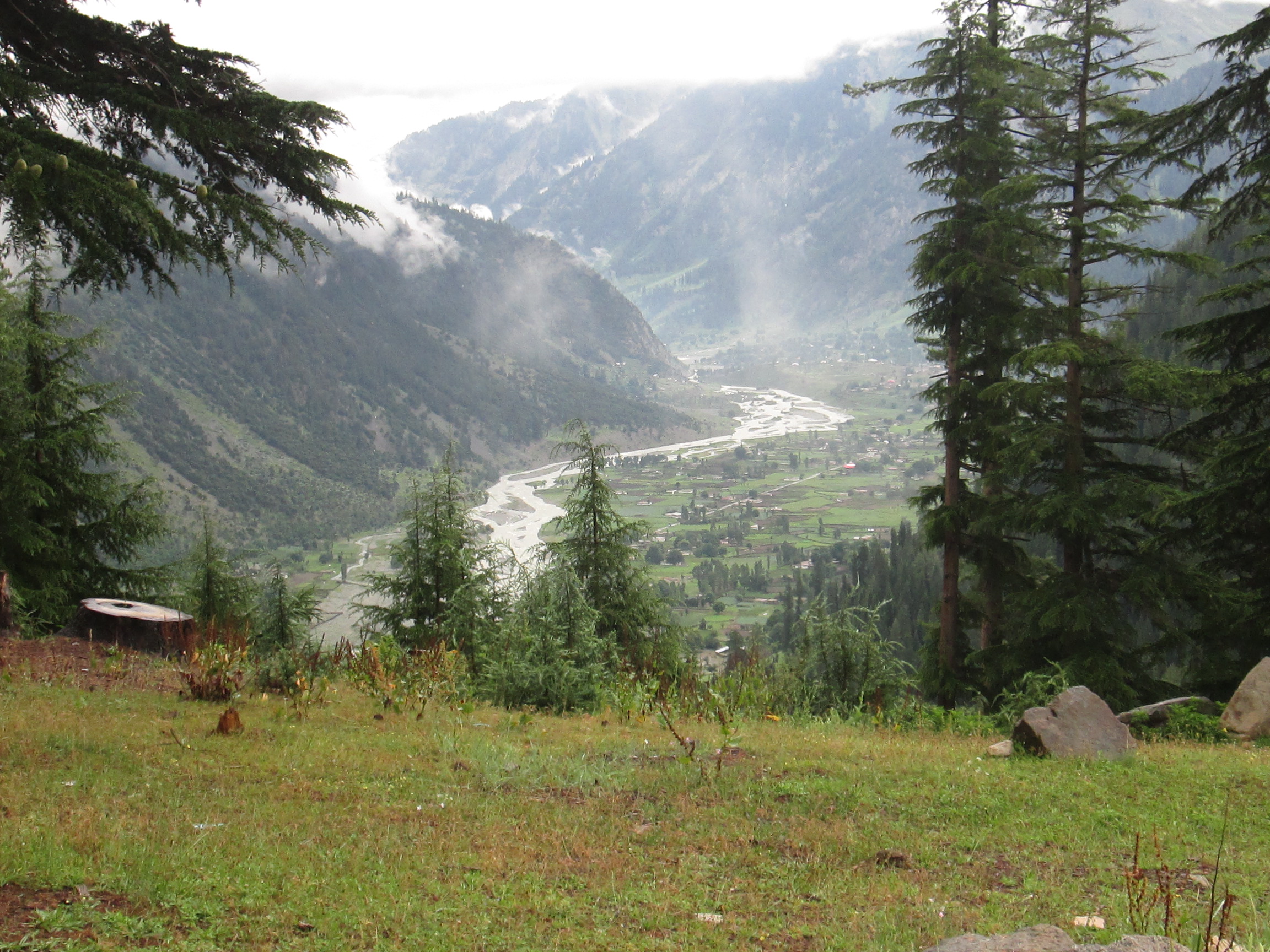
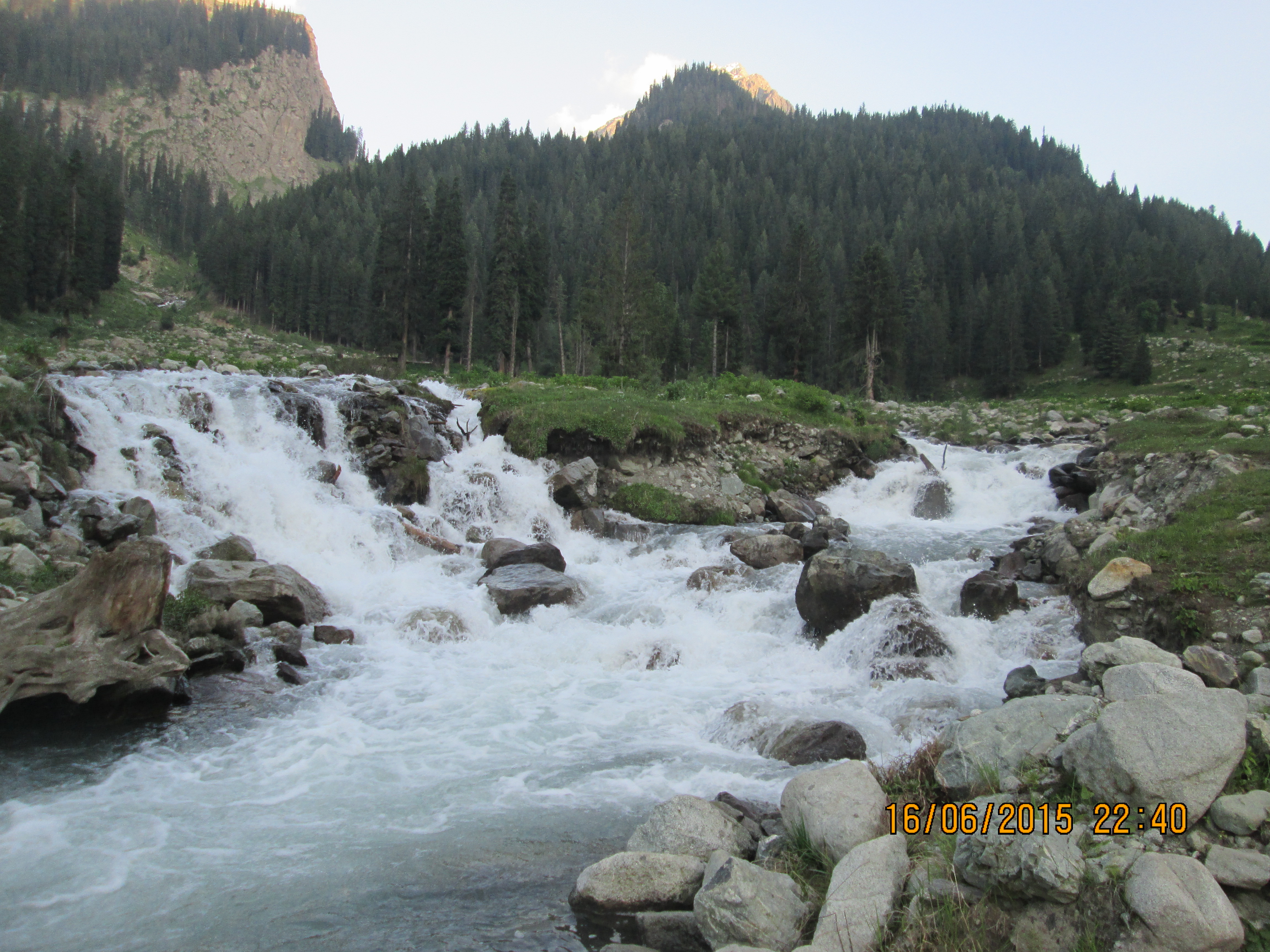
Kalam Pakistan
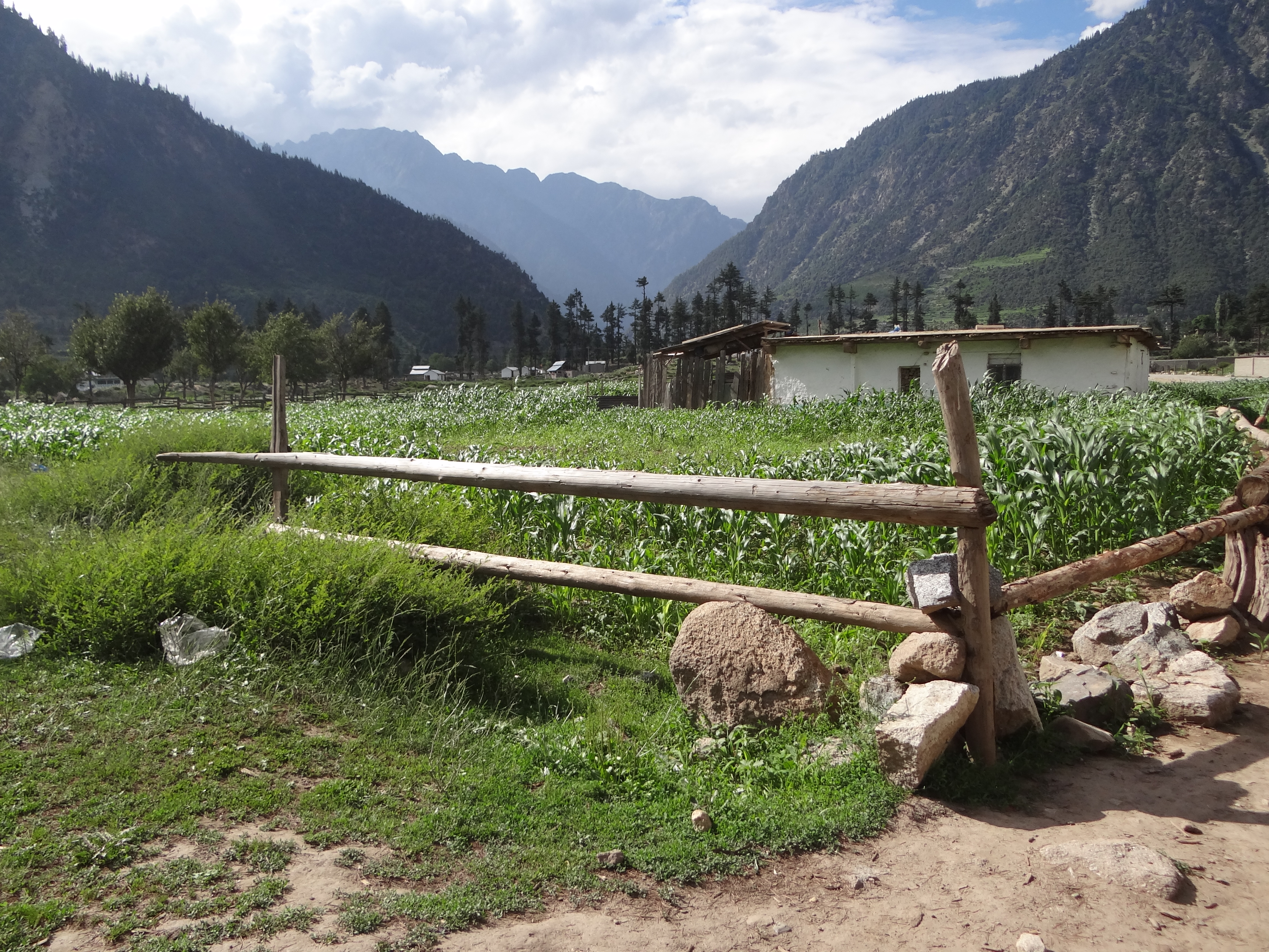
Kalam Pakistan

Swat Kalam Pakistan

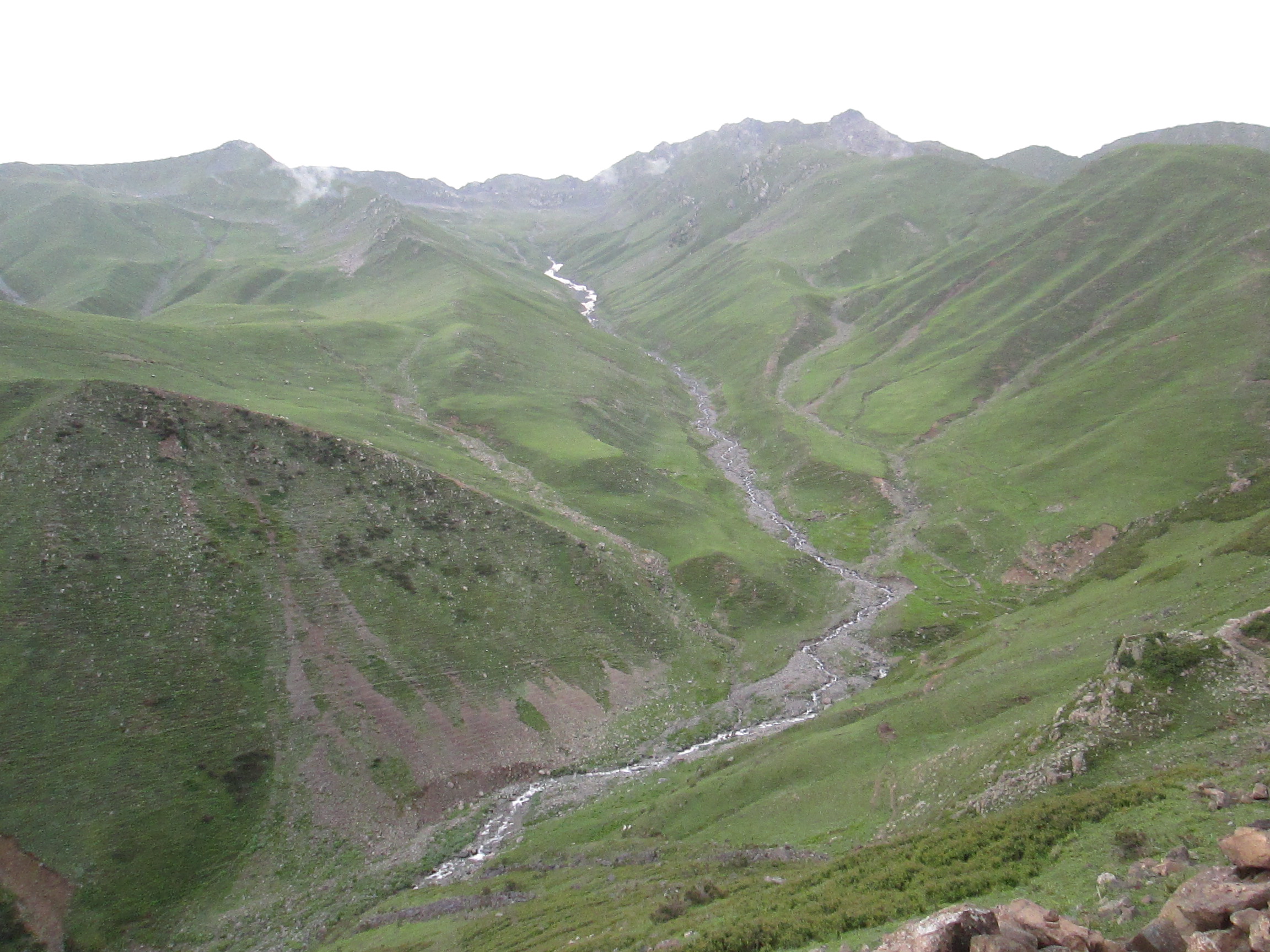
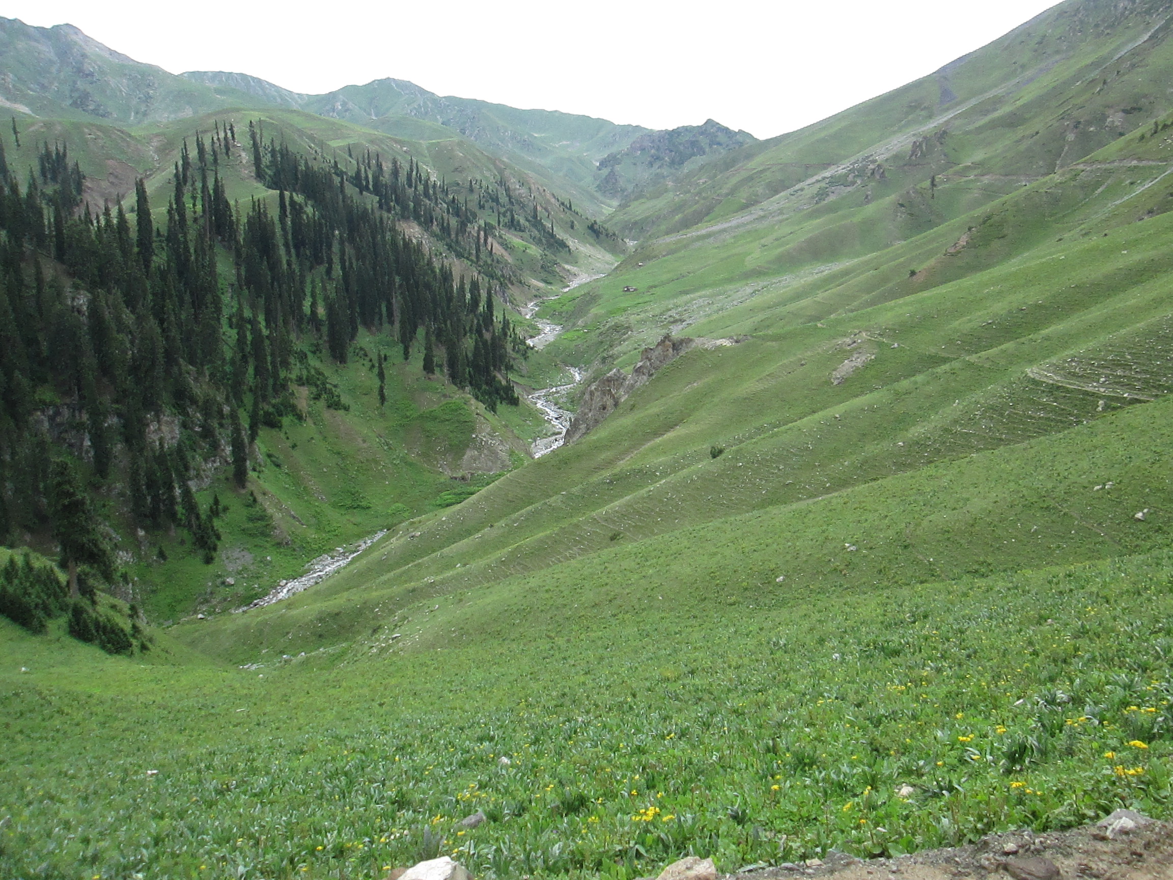
laddu valley, utror, kalam
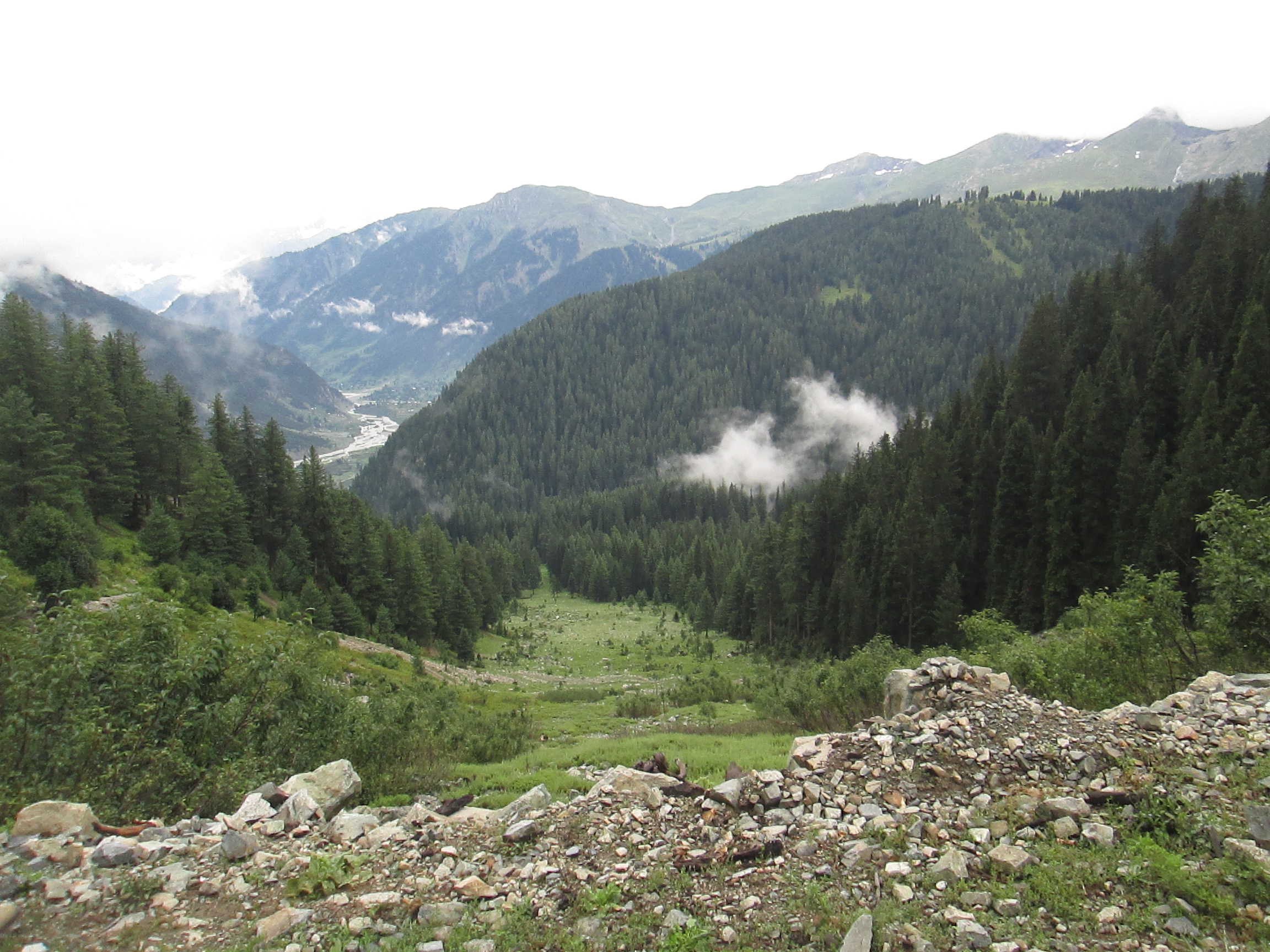
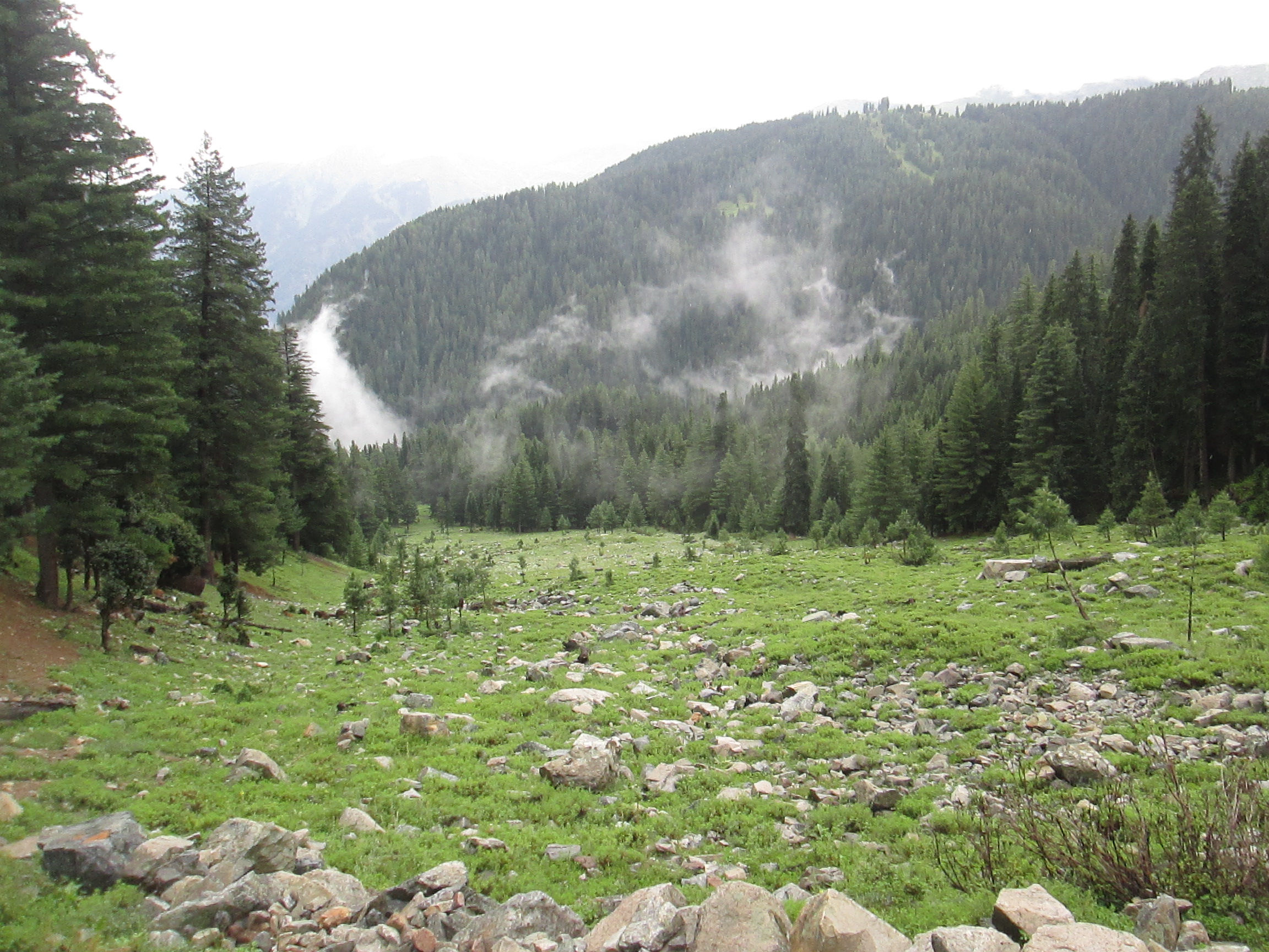
dir pass trek, pakistan

dir pass, pakistan
dir pass, pakistan
dir pass trek, pakistan
dir pass, pakistan

dir pass trek, pakistan
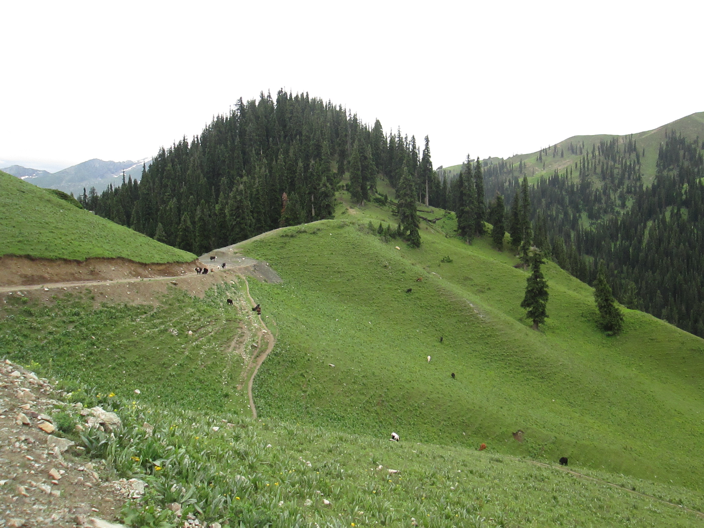
dir pass trek, pakistan
dir pass, pakistan

dir pass trek, pakistan
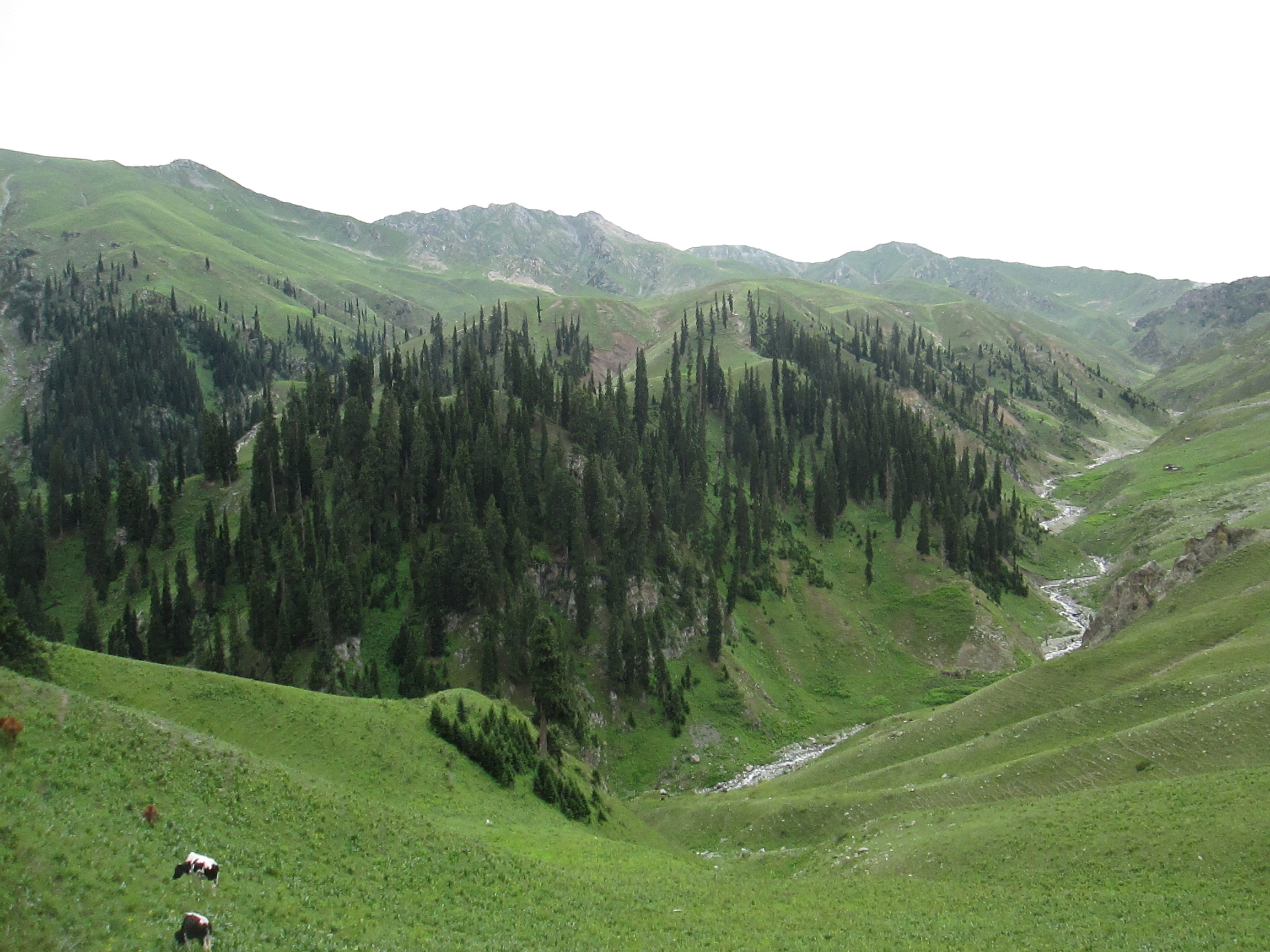
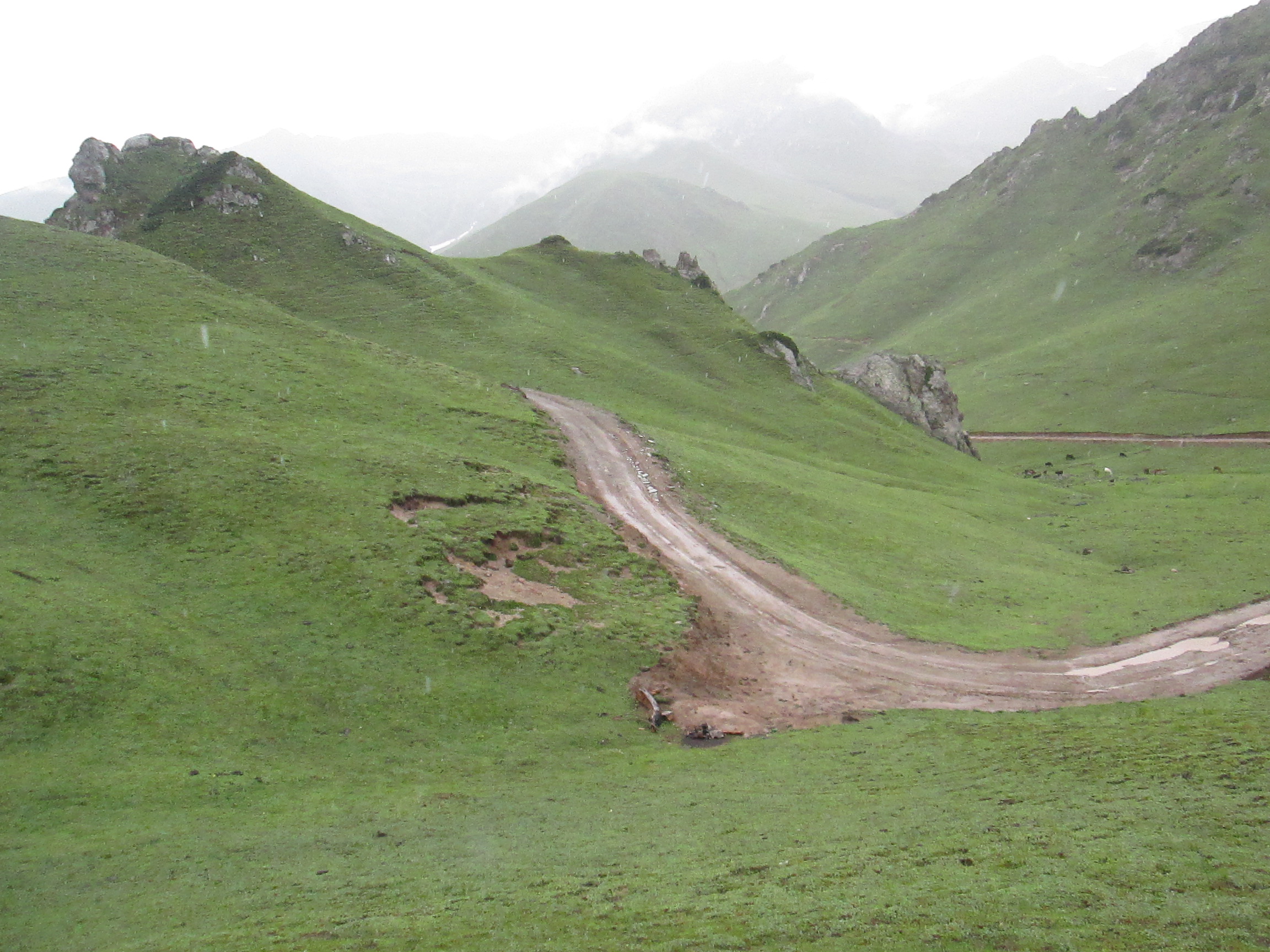
utro, dir pass, pakistan
utror, dir pass trek pakistan

dir pass, pakistan

dir pass trek, pakistan
dir pass, pakistan
dir pass trek utror
laddu, utror, kalam
Topographic Map of Swat, Pakistan
Find elevation by address:

Places in Swat, Pakistan:
Swat Tehsil
Malam Jabba
Mingora
Kabal
Saidu Sharif
Bahrain
Ningolai Village
Babuzai
Bahrain
Kalam
Qambar
Swat
Kabal
Kumrat Valley
Places near Swat, Pakistan:
Utrar
Kalam
New Honey Moon Hotel & Restaurant | Top Vip Family Hotel, Resort In Kalam, Swat, Kpk, Pakistan
Buyun
Kundol Lake
Swat Tehsil
Chhota Jabba
Kalam
Pari Lake
Kalam Forest
Matiltan
Bahrain
Katora Lake
Lake Kharkhari
Mighty 22 Falls
Mahodand Lake
Bahrain
Kumrat Valley
Barigo
Shandur Lake
Recent Searches:
- Elevation of George St, New Bern, NC, USA
- Elevation of Cove Rd, Jasper, GA, USA
- Elevation of Cove Rd, Jasper, GA, USA
- Elevation of South Yankee Meadow Road, Forest Road, Paragonah, UT, USA
- Elevation of SW Elderview Dr, Sherwood, OR, USA
- Elevation of Hickory St, Greenville, NC, USA
- Elevation of Poplar Ln, Guffey, CO, USA
- Elevation of Falling Spring Rd, Clyde, NC, USA
- Elevation of Kingsfield St, Castle Rock, CO, USA
- Elevation of AMELIA CT HSE, VA, USA