Elevation map of Swat Tehsil, Pakistan
Location: Pakistan > Khyber Pakhtunkhwa > Swat >
Longitude: 72.6151169
Latitude: 35.4210752
Elevation: 2271m / 7451feet
Barometric Pressure: 77KPa
Elevation Map:
Satellite Map:
Related Photos:

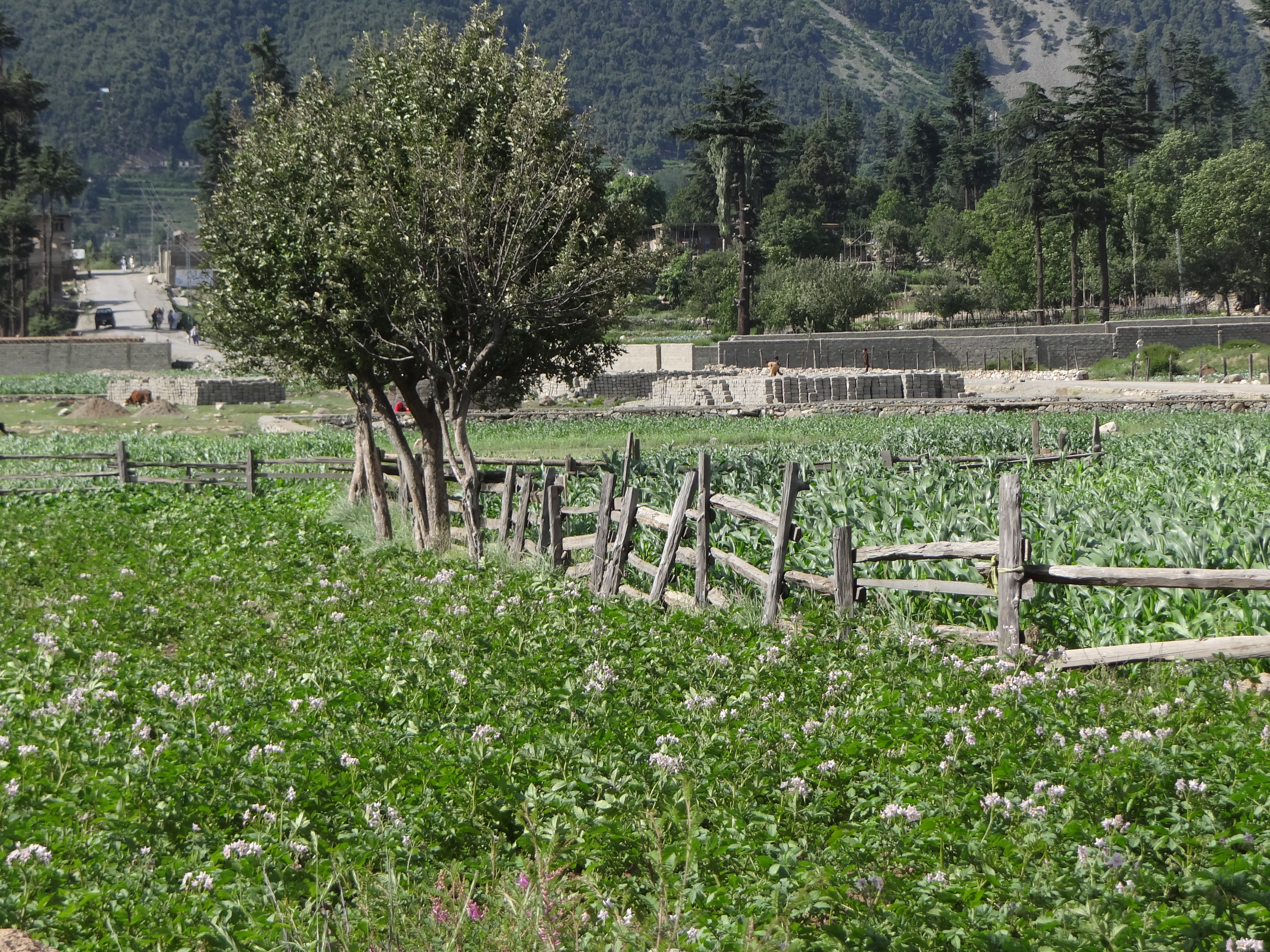
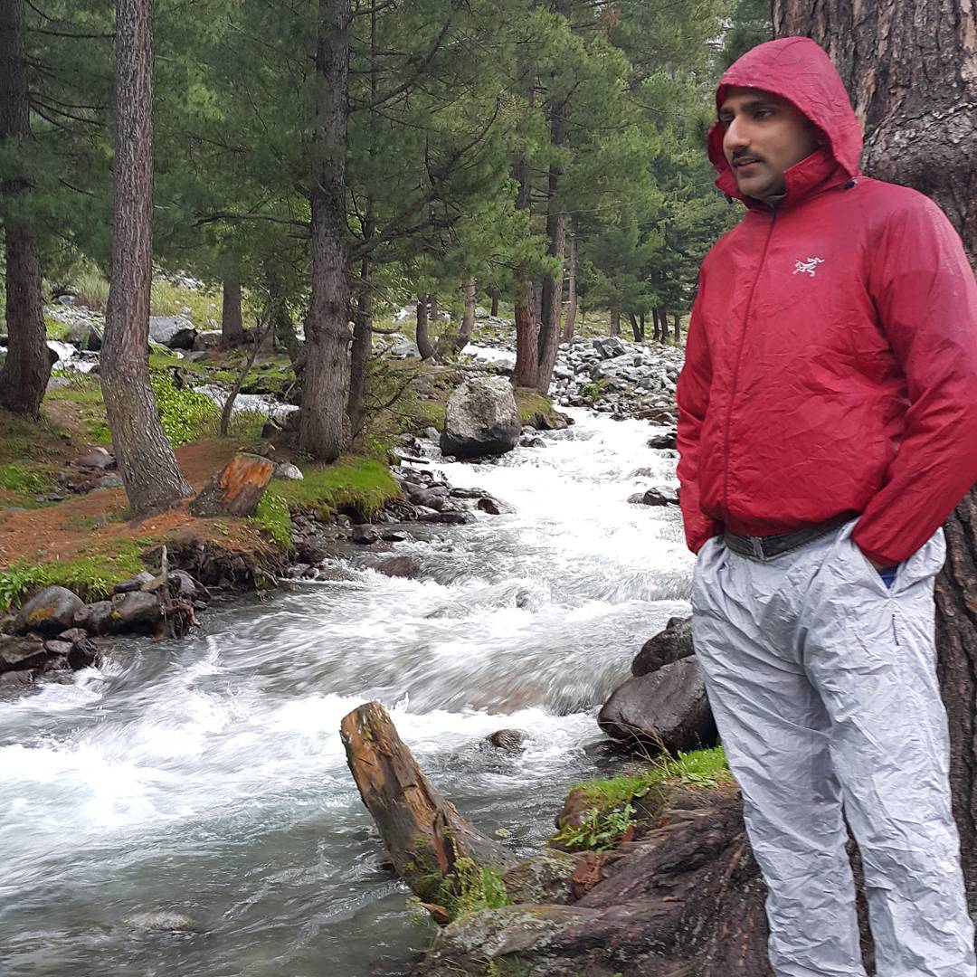
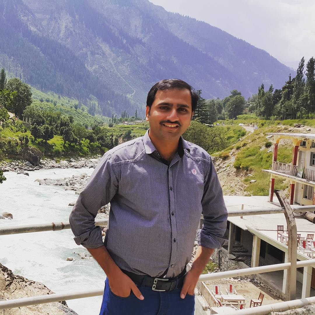
Swat Kalam Pakistan
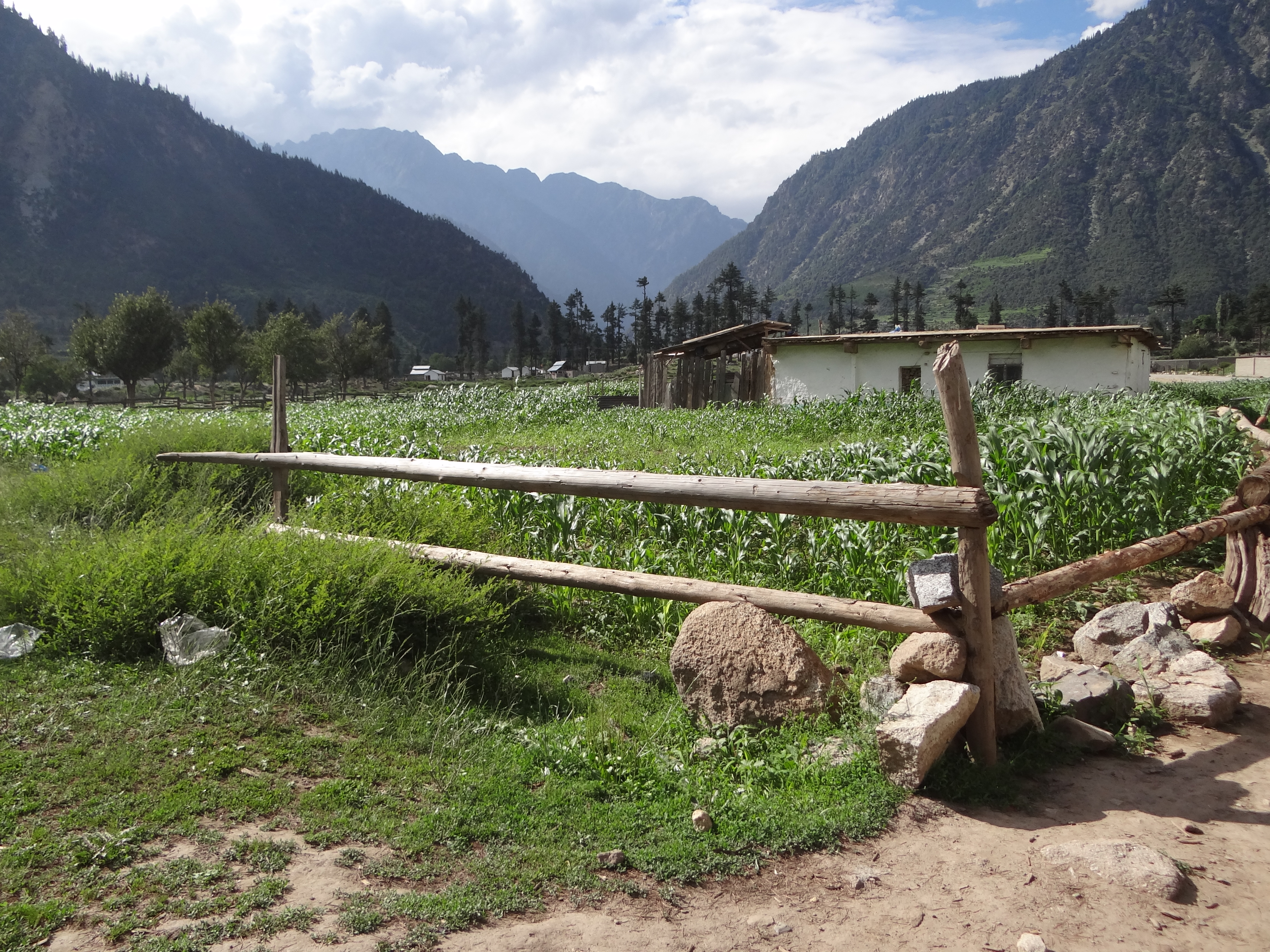
Kalam Pakistan
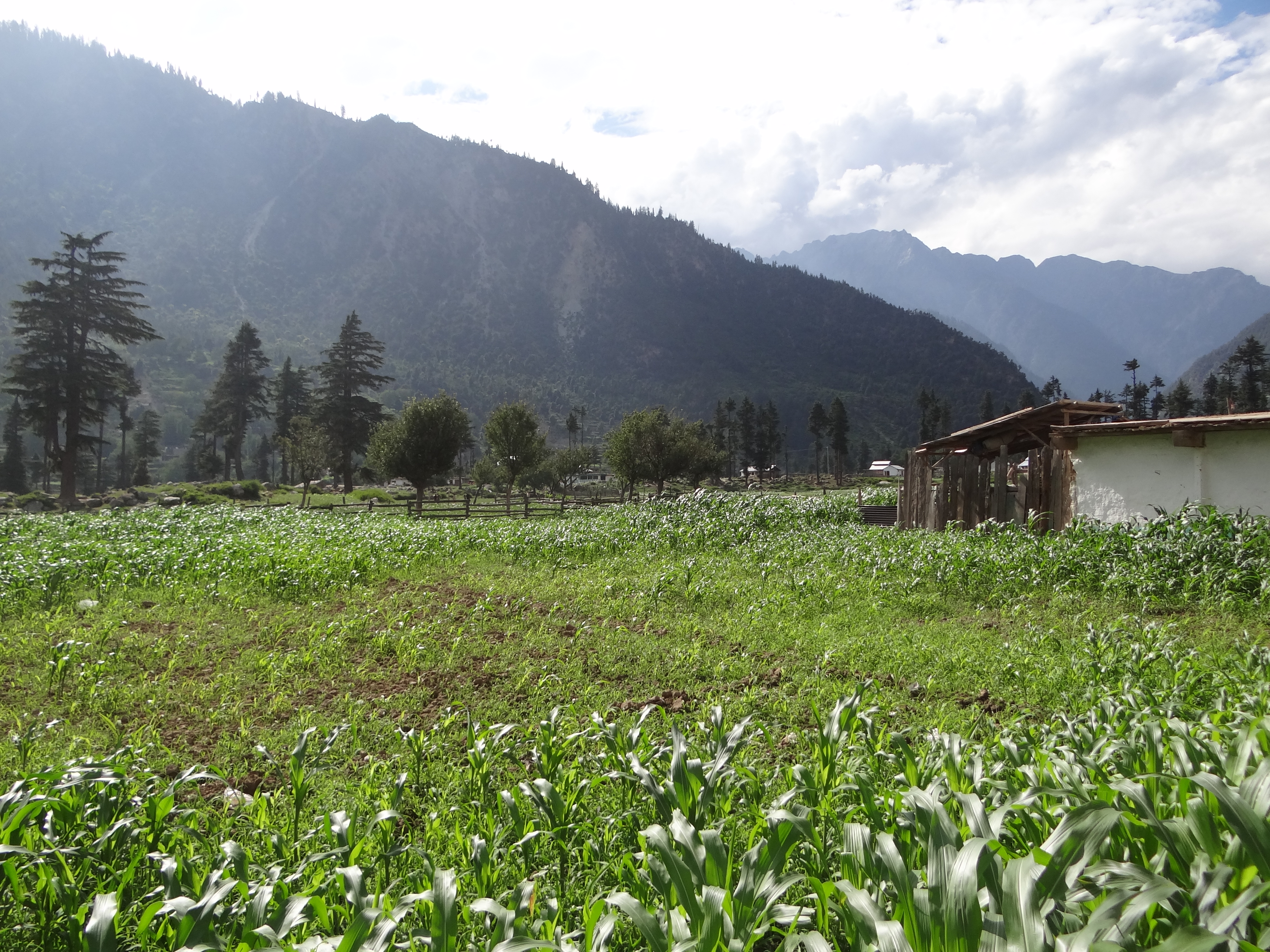
Kalam Pakistan
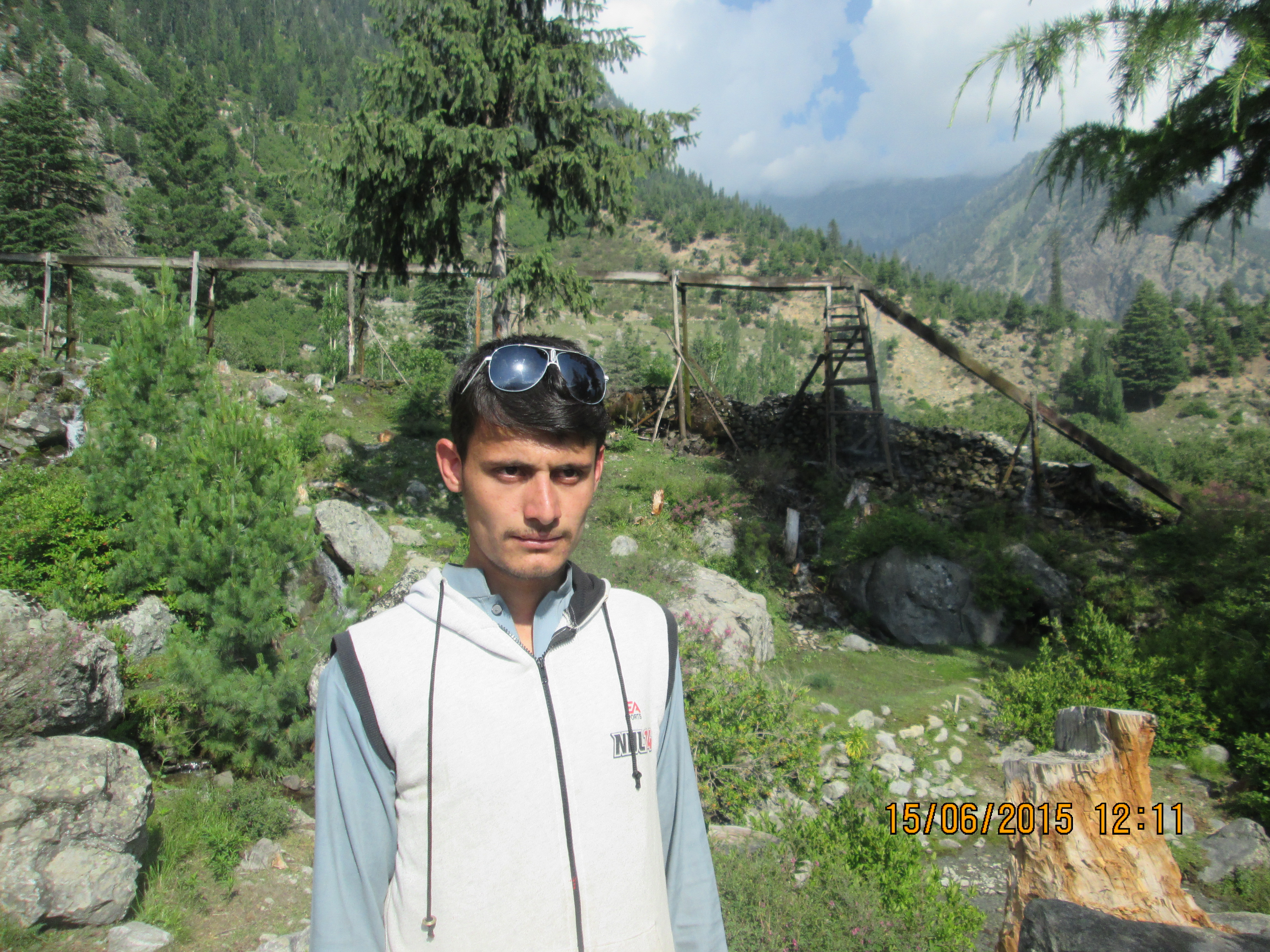
Kalam Pakistan

Tribesmen of Swat Kohistan, Pakistan
GODUR LAKE TREK KALAM
#rain #beautiful #Lake #Swat
Somewhere near Ushu forest on the Mahudand Road

Mahudnad Lake Kalam
Topographic Map of Swat Tehsil, Pakistan
Find elevation by address:

Places in Swat Tehsil, Pakistan:
Places near Swat Tehsil, Pakistan:
Buyun
New Honey Moon Hotel & Restaurant | Top Vip Family Hotel, Resort In Kalam, Swat, Kpk, Pakistan
Kalam
Swat
Kalam Forest
Matiltan
Bahrain
Utrar
Kalam
Kundol Lake
Pari Lake
Bahrain
Mighty 22 Falls
Chhota Jabba
Chansar Lake
Barigo
Katora Lake
Mahodand Lake
Pattan
Gabrial
Recent Searches:
- Elevation of Zimmer Trail, Pennsylvania, USA
- Elevation of 87 Kilmartin Ave, Bristol, CT, USA
- Elevation of Honghe National Nature Reserve, QP95+PJP, Tongjiang, Heilongjiang, Jiamusi, Heilongjiang, China
- Elevation of Hercules Dr, Colorado Springs, CO, USA
- Elevation of Szlak pieszy czarny, Poland
- Elevation of Griffing Blvd, Biscayne Park, FL, USA
- Elevation of Kreuzburger Weg 13, Düsseldorf, Germany
- Elevation of Gateway Blvd SE, Canton, OH, USA
- Elevation of East W.T. Harris Boulevard, E W.T. Harris Blvd, Charlotte, NC, USA
- Elevation of West Sugar Creek, Charlotte, NC, USA