Elevation of SW 48th Path, Lake Butler, FL, USA
Location: United States > Florida > Union County > Lake Butler >
Longitude: -82.373897
Latitude: 29.9457316
Elevation: 29m / 95feet
Barometric Pressure: 101KPa
Elevation Map:
Satellite Map:
Related Photos:
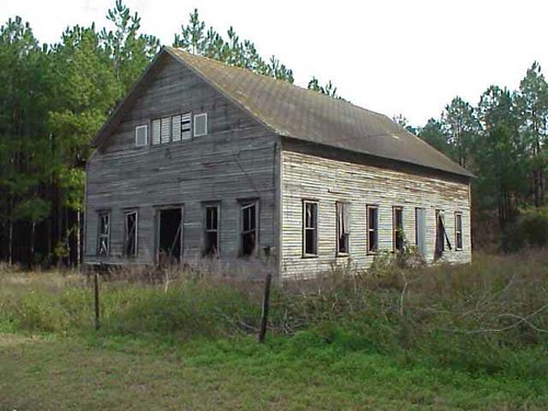
2000+ views - Blair Church in Ghost Town Union County, FL
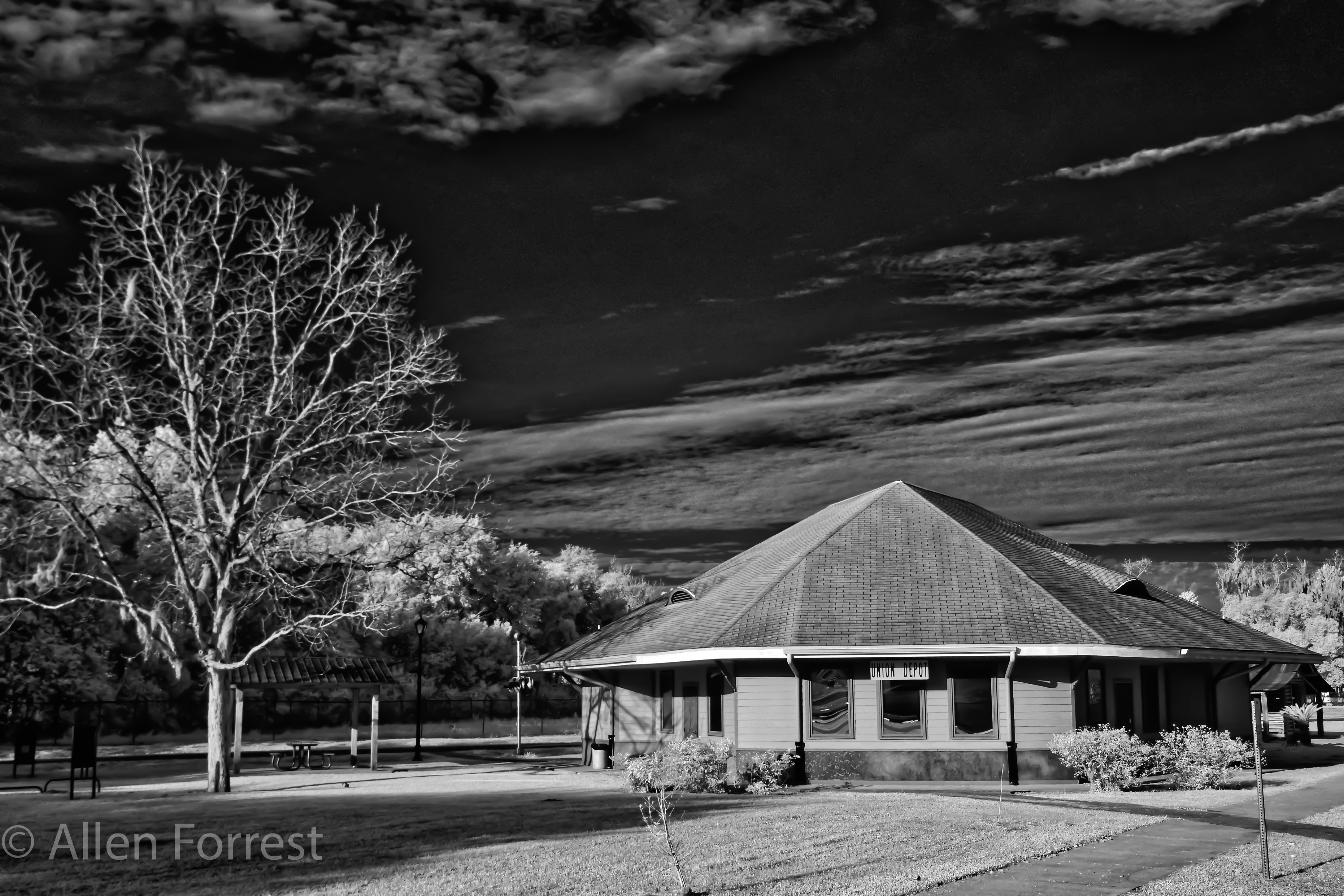
Lake Butler Union Depot

Whirlabout, Polites vibex

Blueberry Picking at Deep Spring Farm

Santa Fe River, Florida Swamp (Project WX)

Planted Pines

Pinus elliottii - Florida Slash Pine

Santa Fe River Swamp (2)

Alachua County

Duck hunting. Struck out. Need to watch more #duckdynasty.

powerline first hdr
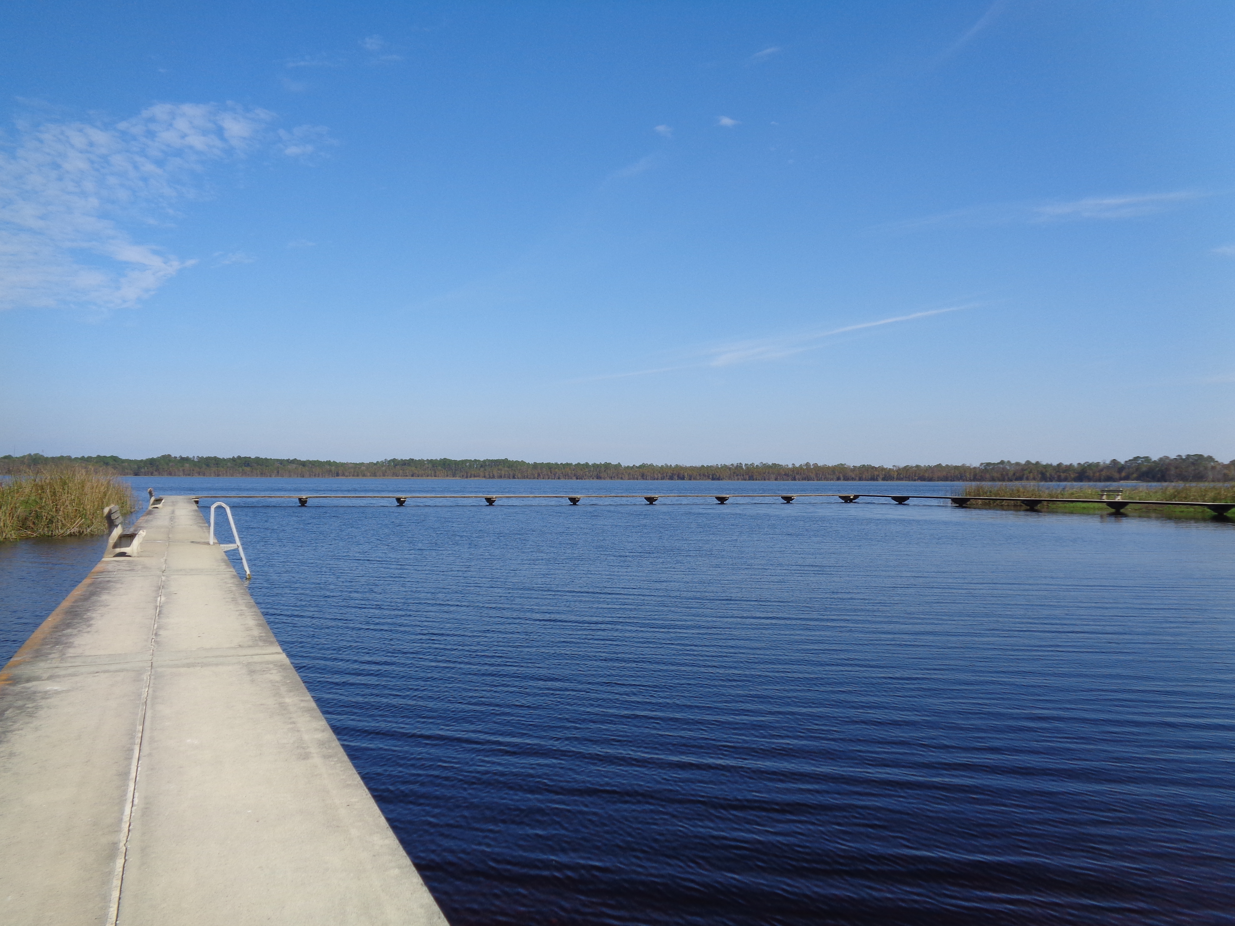
Butler Lake
Butler Lake and beach

Out in Alachua for Sarah & John's wedding. Florida ranch.

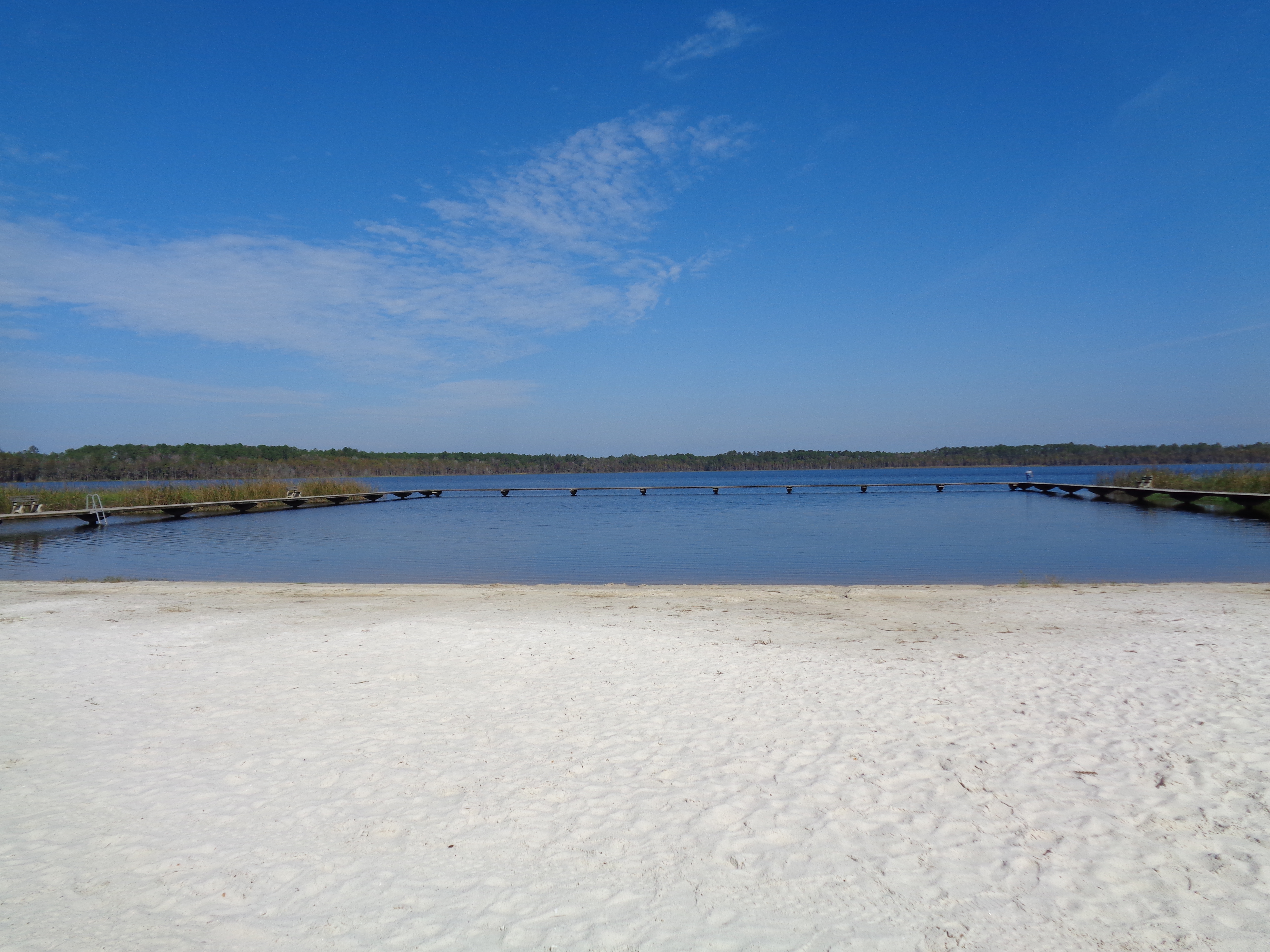
Butler Lake and beach
Topographic Map of SW 48th Path, Lake Butler, FL, USA
Find elevation by address:

Places near SW 48th Path, Lake Butler, FL, USA:
Co Rd 18A, Lake Butler, FL, USA
13100 Sw 194 Ave
FL-, Lake Butler, FL, USA
FL-, Lake Butler, FL, USA
Worthington Springs
Main St, Lake Butler, FL, USA
8383 Fl-121
7875 Nw 290 Ave
8169 Sw 126th Ct
14369 Fl-231
15661 Sw 161st St
Brooker
Co Rd, Lake Butler, FL, USA
8280 Sw 115th Run
Santa Fe
Lake Butler
SW th Ave, Lake Butler, FL, USA
SW County Rd A, Lake Butler, FL, USA
FL-, Lake Butler, FL, USA
6329 Sw 81st Rd
Recent Searches:
- Elevation of Elwyn Dr, Roanoke Rapids, NC, USA
- Elevation of Congressional Dr, Stevensville, MD, USA
- Elevation of Bellview Rd, McLean, VA, USA
- Elevation of Stage Island Rd, Chatham, MA, USA
- Elevation of Shibuya Scramble Crossing, 21 Udagawacho, Shibuya City, Tokyo -, Japan
- Elevation of Jadagoniai, Kaunas District Municipality, Lithuania
- Elevation of Pagonija rock, Kranto 7-oji g. 8"N, Kaunas, Lithuania
- Elevation of Co Rd 87, Jamestown, CO, USA
- Elevation of Tenjo, Cundinamarca, Colombia
- Elevation of Côte-des-Neiges, Montreal, QC H4A 3J6, Canada