Elevation of Co Rd 18A, Lake Butler, FL, USA
Location: United States > Florida > Union County > Lake Butler >
Longitude: -82.386861
Latitude: 29.947584
Elevation: 36m / 118feet
Barometric Pressure: 101KPa
Elevation Map:
Satellite Map:
Related Photos:
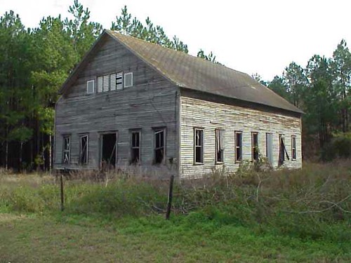
2000+ views - Blair Church in Ghost Town Union County, FL
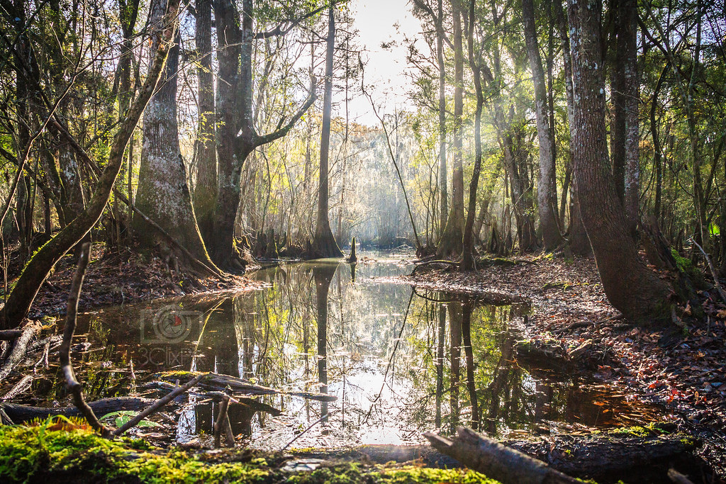
Santa Fe River Swamp (2)
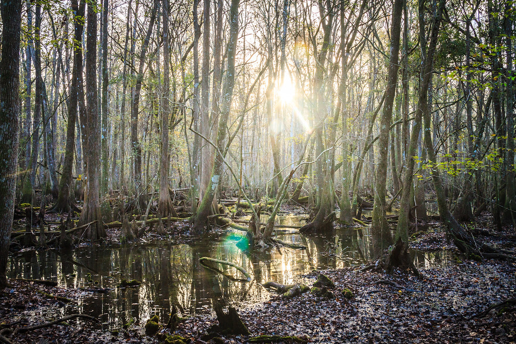
Santa Fe River, Florida Swamp (Project WX)
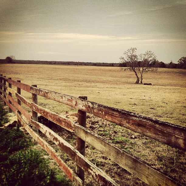
Out in Alachua for Sarah & John's wedding. Florida ranch.
Duck hunting. Struck out. Need to watch more #duckdynasty.

Whirlabout, Polites vibex
Alachua County

Blueberry Picking at Deep Spring Farm
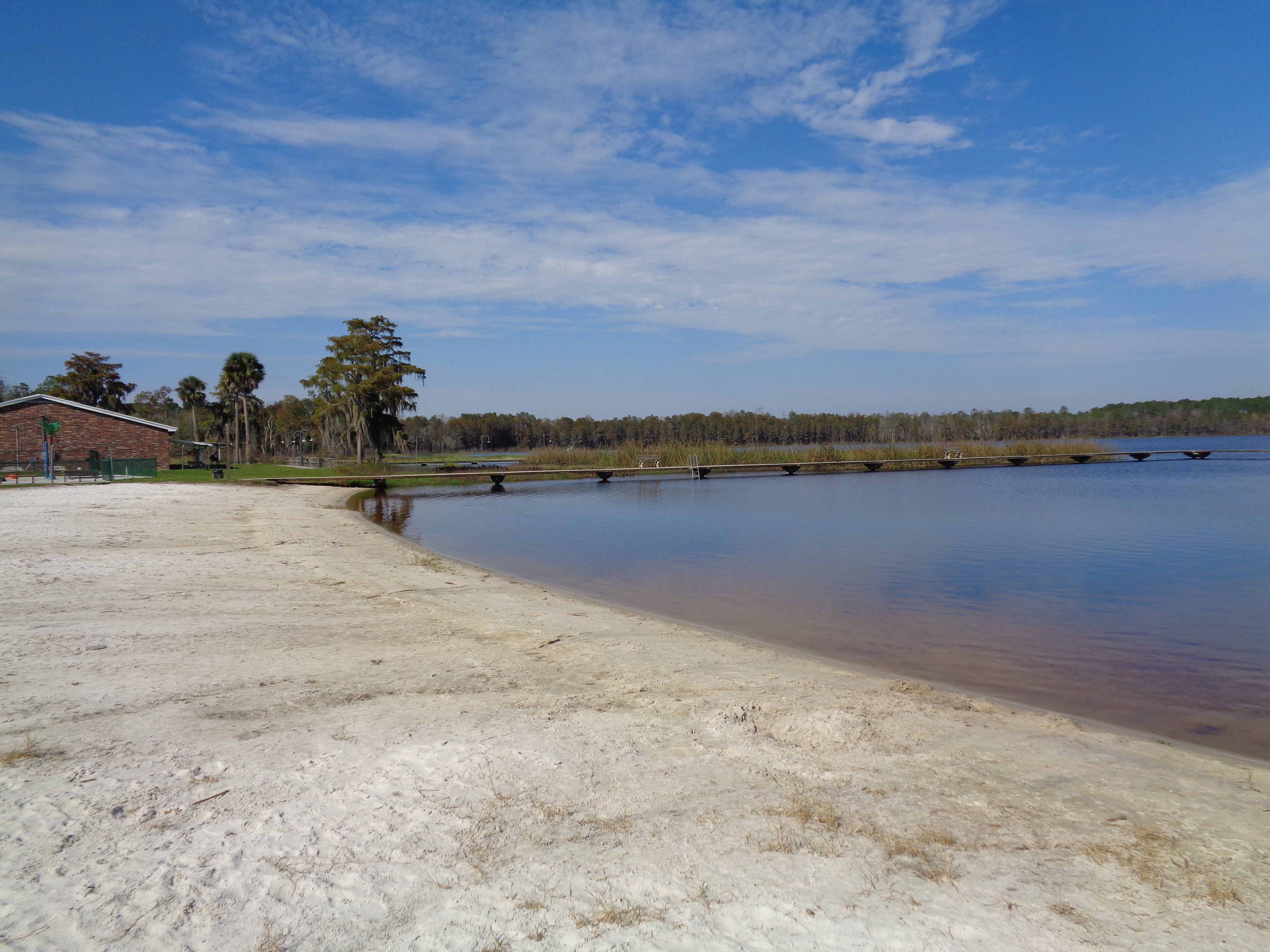
Butler Lake and beach
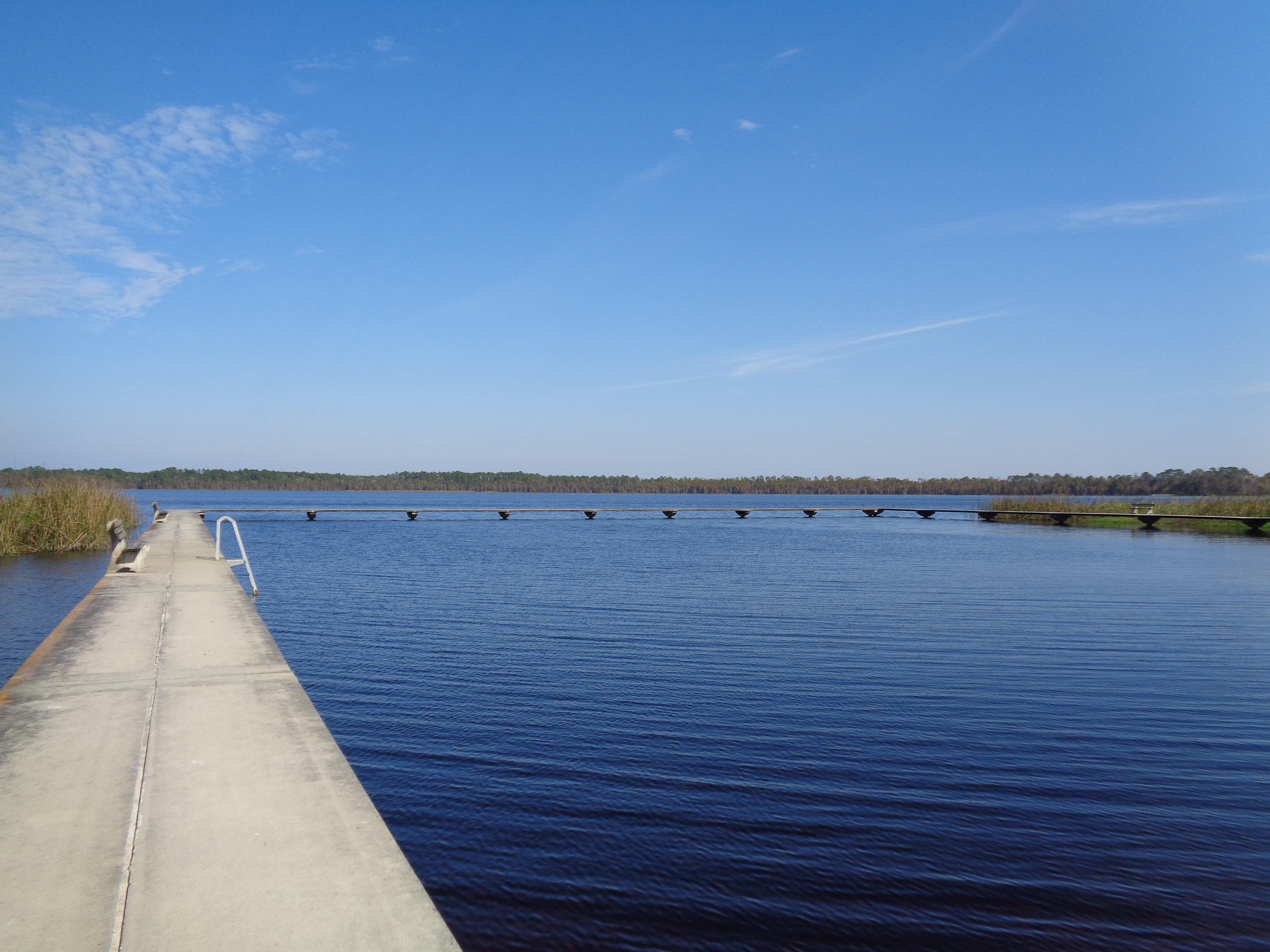
Butler Lake
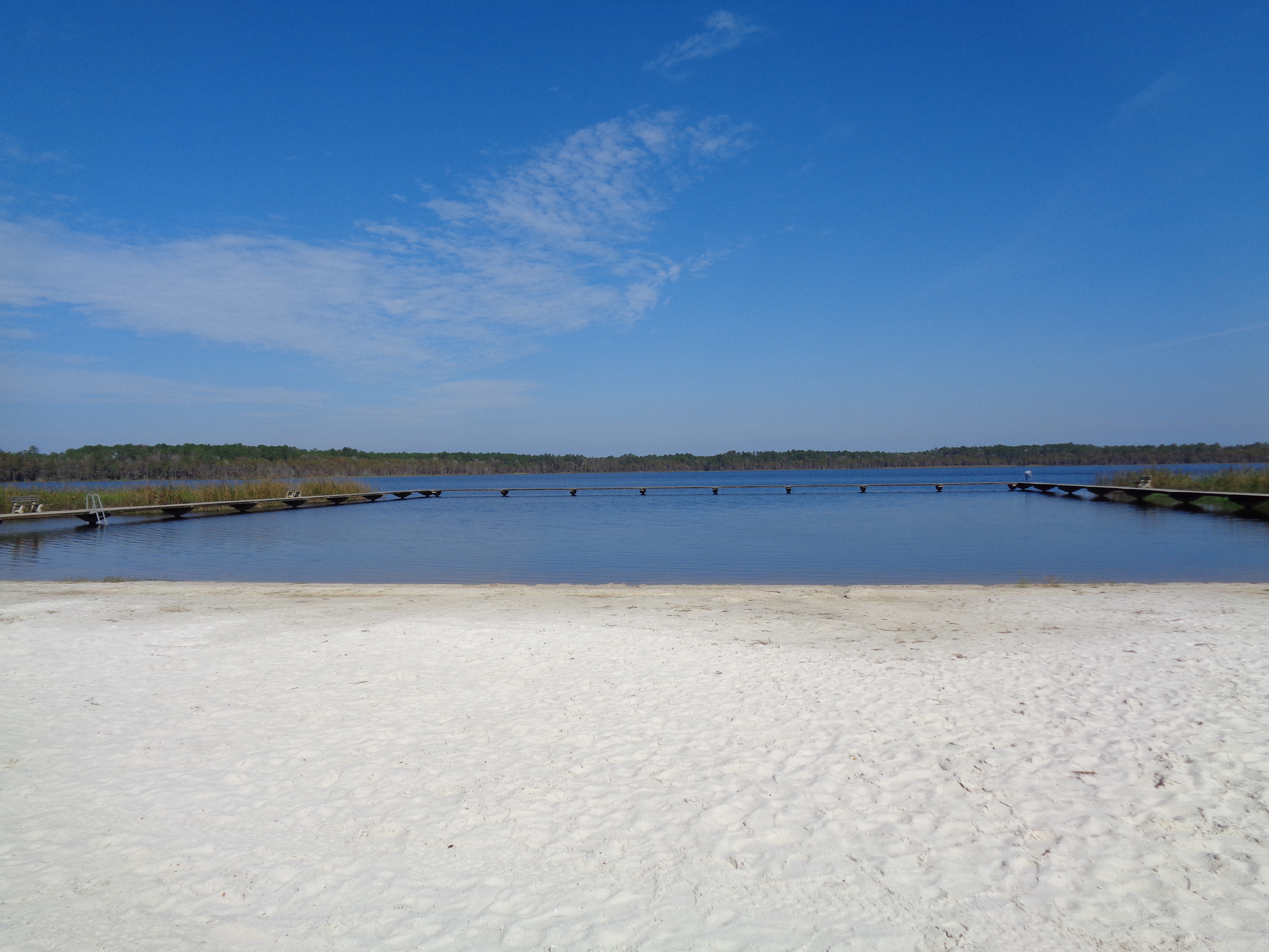
Butler Lake and beach
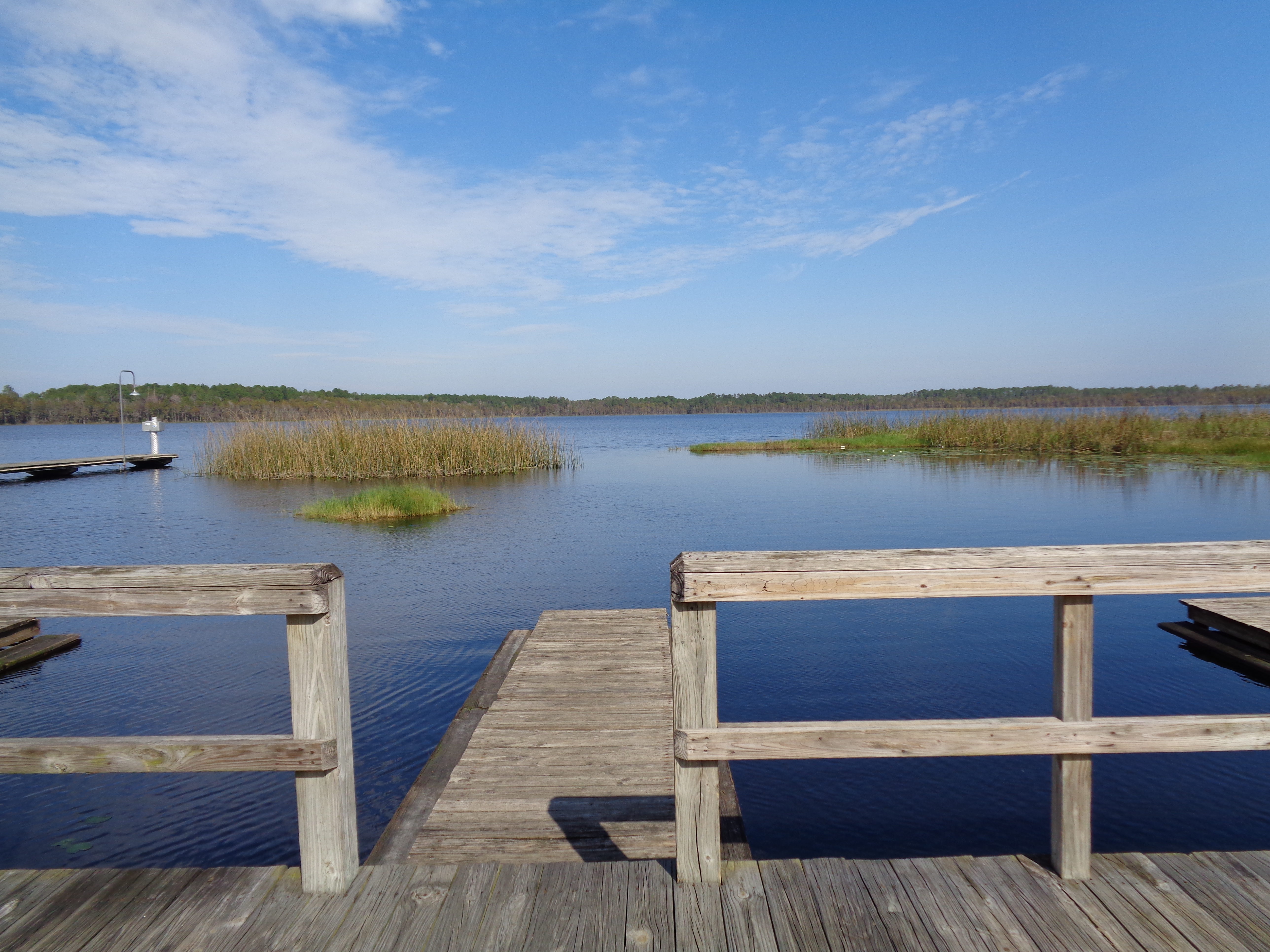
Butler Lake boat slips

Planted Pines

Alachua County
Topographic Map of Co Rd 18A, Lake Butler, FL, USA
Find elevation by address:

Places near Co Rd 18A, Lake Butler, FL, USA:
14940 Sw 48th Path
FL-, Lake Butler, FL, USA
13100 Sw 194 Ave
Worthington Springs
Main St, Lake Butler, FL, USA
7875 Nw 290 Ave
FL-, Lake Butler, FL, USA
8383 Fl-121
8169 Sw 126th Ct
Co Rd, Lake Butler, FL, USA
8280 Sw 115th Run
14369 Fl-231
Santa Fe
Brooker
15661 Sw 161st St
SW th Ave, Lake Butler, FL, USA
SW County Rd A, Lake Butler, FL, USA
Lake Butler
6329 Sw 81st Rd
FL-, Lake Butler, FL, USA
Recent Searches:
- Elevation of Tenjo, Cundinamarca, Colombia
- Elevation of Côte-des-Neiges, Montreal, QC H4A 3J6, Canada
- Elevation of Bobcat Dr, Helena, MT, USA
- Elevation of Zu den Ihlowbergen, Althüttendorf, Germany
- Elevation of Badaber, Peshawar, Khyber Pakhtunkhwa, Pakistan
- Elevation of SE Heron Loop, Lincoln City, OR, USA
- Elevation of Slanický ostrov, 01 Námestovo, Slovakia
- Elevation of Spaceport America, Co Rd A, Truth or Consequences, NM, USA
- Elevation of Warwick, RI, USA
- Elevation of Fern Rd, Whitmore, CA, USA