Elevation of Sunset Drive, Sunset Dr, Colorado City, CO, USA
Location: United States > Colorado > Pueblo County > Colorado City >
Longitude: -104.87088
Latitude: 37.9250602
Elevation: 1888m / 6194feet
Barometric Pressure: 81KPa
Elevation Map:
Satellite Map:
Related Photos:

Greenhorn Peak

Mailbox vantage point

Mailbox vantage point

Mile Marker 63

Mailbox vantage point

Food with a view
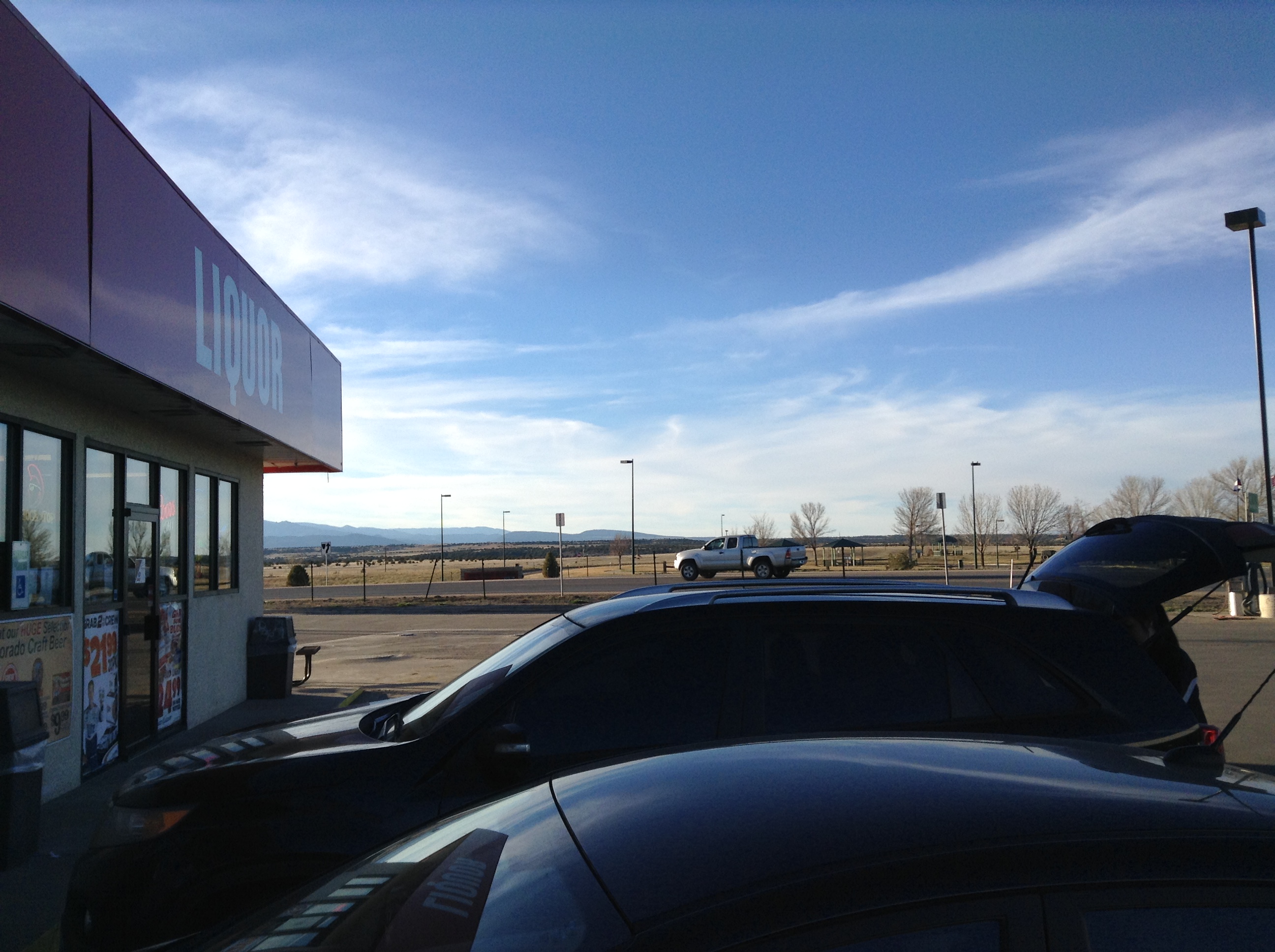
Colorado City, Colo.: view from convenience mart toward mountains

View of Cliffs

Graneros Gorge

St. Charles River: Burnt Mill Road: Pueblo, Colorado (CO)

Interstate 25 Between Pueblo and Walsenburg, Colorado

Spanish Peaks Country

A patch of light

Abandoned Prairie Home

Sneaking Acrosst the Plains

Greenhorn Mountain: Interstate 25, Exit 77: South of Pueblo, Colorado (CO)

SpanishPeaks: Interstate 25, Exit 67: North of Walsenburg, Colorado (CO)

Greenhorn Mountain, Interstate 25 Between Pueblo and Walsenburg, Colorado

Greenhorn Mountain, Interstate 25 Between Pueblo and Walsenburg, Colorado

Southern Colorado Landscape

Praire Sunset

Common Wood-nymph (Cercyonis pegala)

Pikes Peak

West Spanish Peak - San Isabel National Forest

Front Range Storms
Topographic Map of Sunset Drive, Sunset Dr, Colorado City, CO, USA
Find elevation by address:

Places near Sunset Drive, Sunset Dr, Colorado City, CO, USA:
6912 Geronimo Rd
6095 Waco Mish Rd
6095 Waco Mish Rd
6095 Waco Mish Rd
6095 Waco Mish Rd
6095 Waco Mish Rd
6095 Waco Mish Rd
State Hwy, Rye, CO, USA
10511 Apache City Rd
5181 Cibola Dr
5284 Monte Vista Dr
8053 Birch Dr
4741 Beckwith Dr
Colorado City, CO, USA
Colorado City
CO-, Colorado City, CO, USA
7921 Co-165
10415 Hunter Rd
Colorado 165
7988 South Ln
Recent Searches:
- Elevation of Corcoran Ln, Suffolk, VA, USA
- Elevation of Mamala II, Sariaya, Quezon, Philippines
- Elevation of Sarangdanda, Nepal
- Elevation of 7 Waterfall Way, Tomball, TX, USA
- Elevation of SW 57th Ave, Portland, OR, USA
- Elevation of Crocker Dr, Vacaville, CA, USA
- Elevation of Pu Ngaol Community Meeting Hall, HWHM+3X7, Krong Saen Monourom, Cambodia
- Elevation of Royal Ontario Museum, Queens Park, Toronto, ON M5S 2C6, Canada
- Elevation of Groblershoop, South Africa
- Elevation of Power Generation Enterprises | Industrial Diesel Generators, Oak Ave, Canyon Country, CA, USA