Elevation of Waco Mish Rd, Rye, CO, USA
Location: United States > Colorado > Pueblo County > Colorado City >
Longitude: -104.86829
Latitude: 37.9422422
Elevation: 1874m / 6148feet
Barometric Pressure: 81KPa
Elevation Map:
Satellite Map:
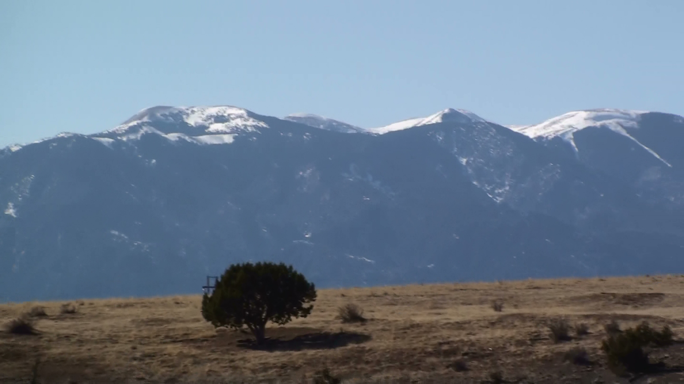
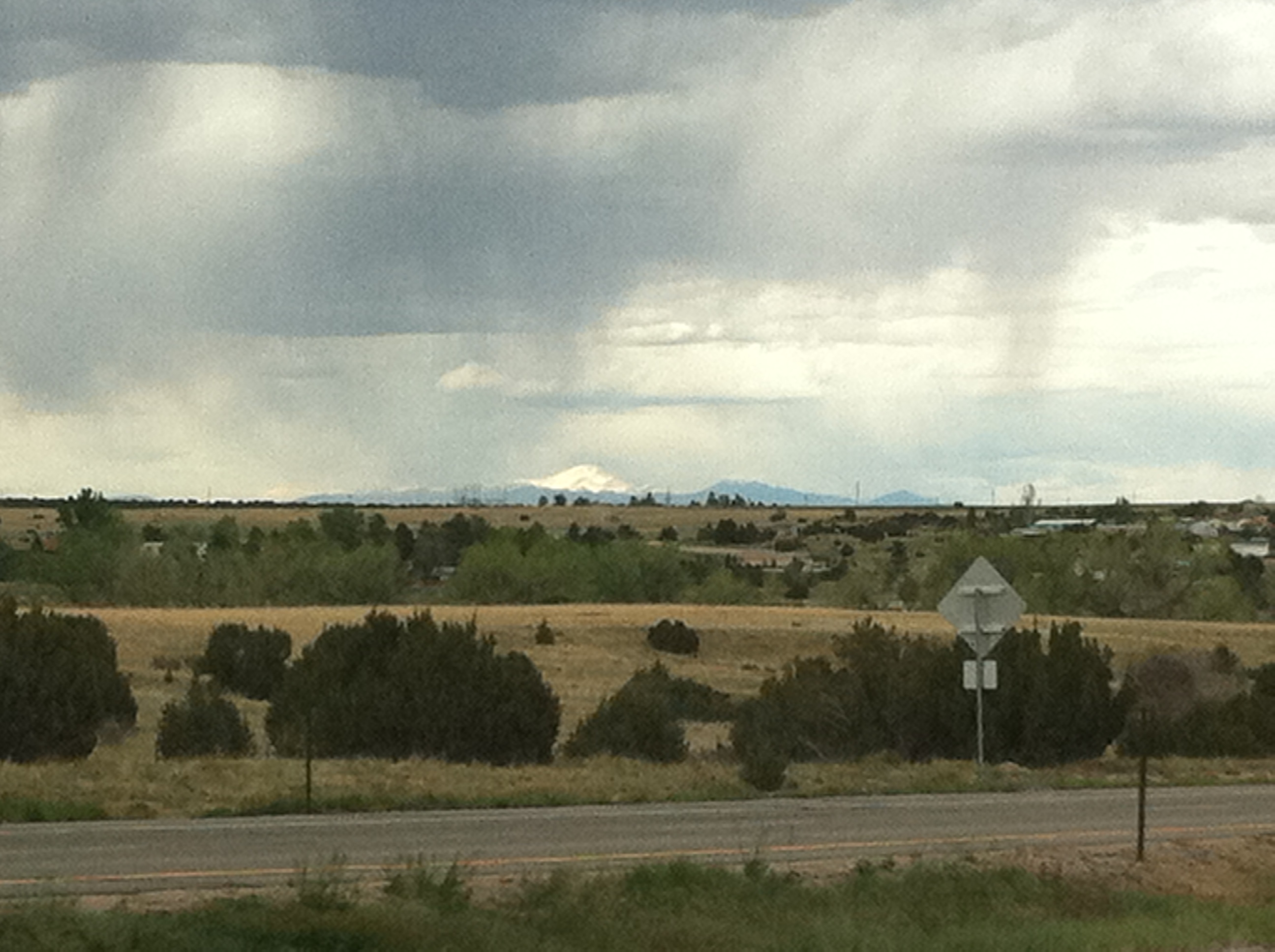
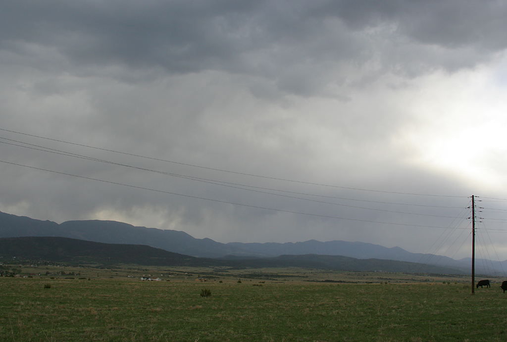
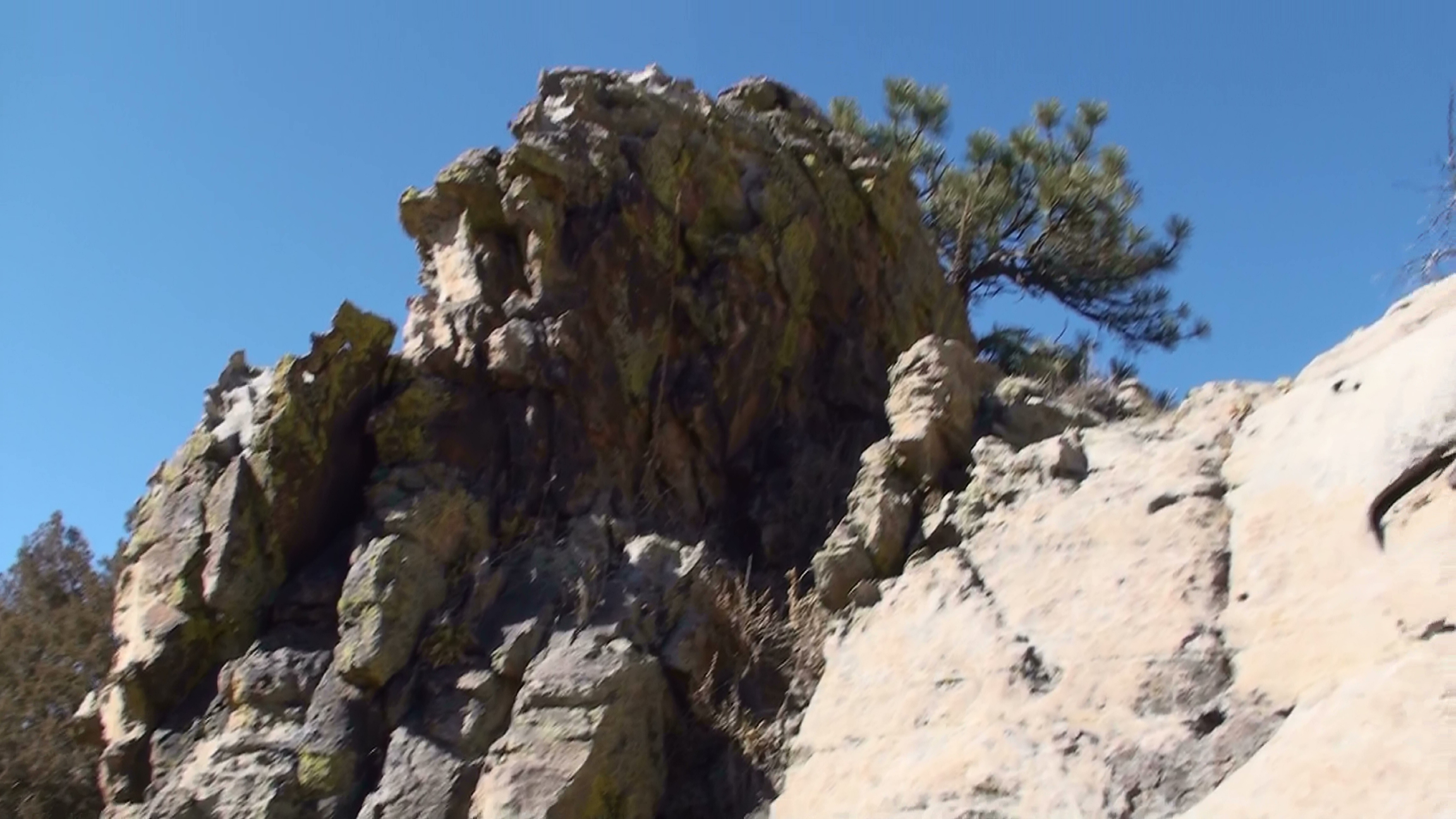
Related Photos:
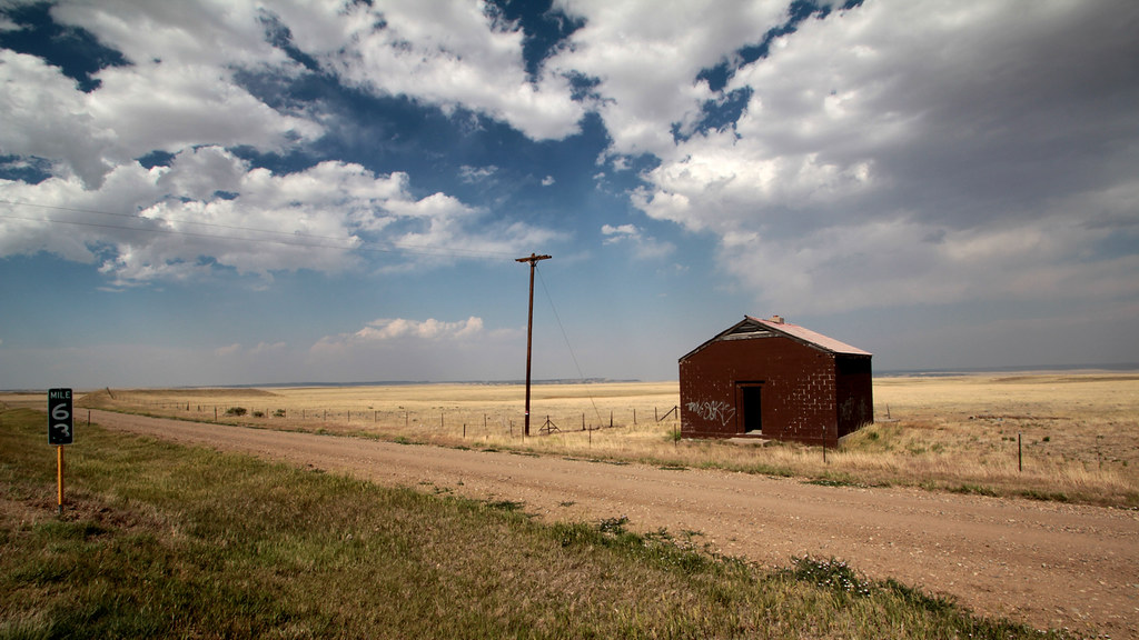
Mile Marker 63

Mailbox vantage point
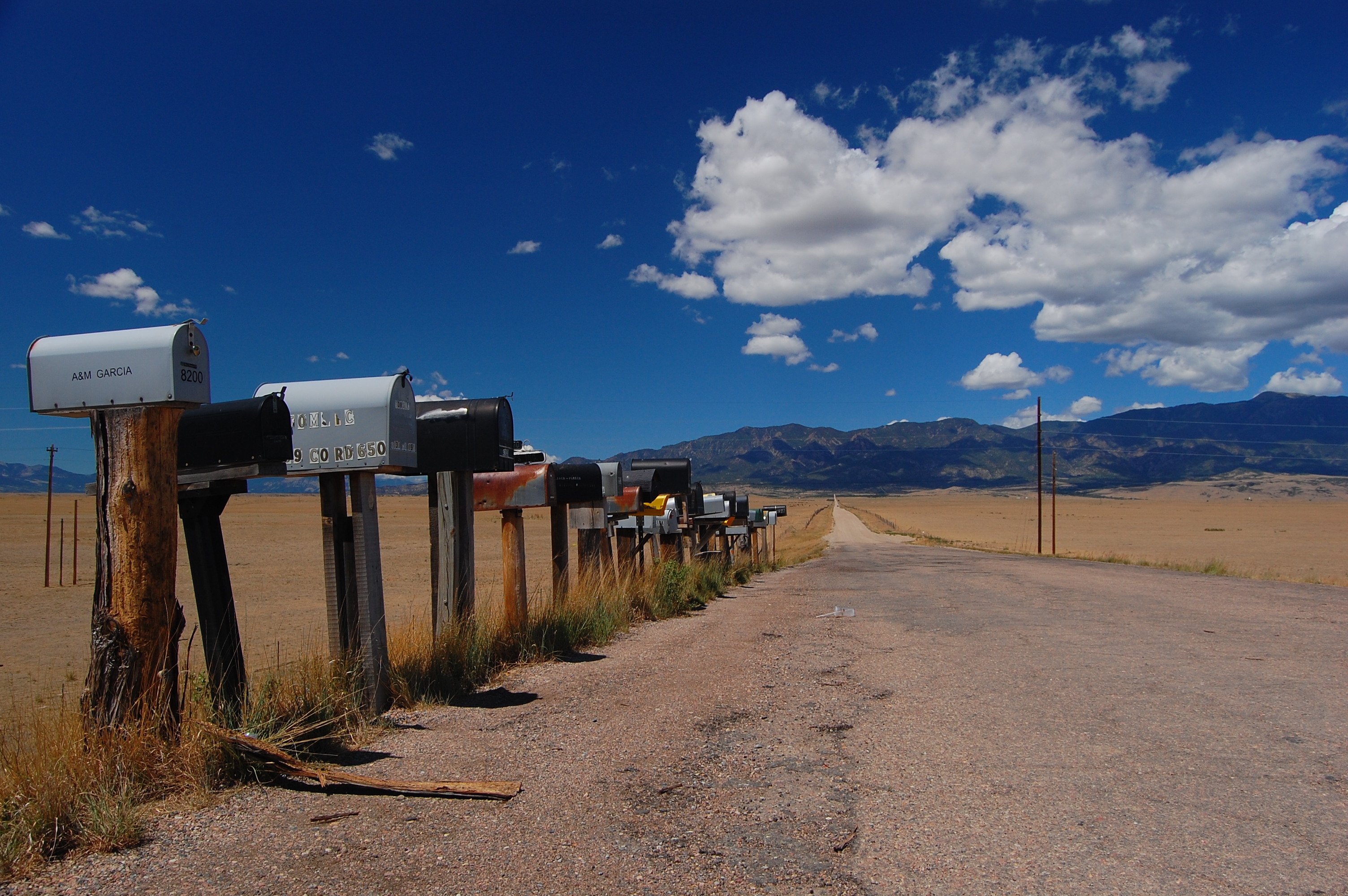
Mailbox vantage point
Food with a view
Fluorescent Moss
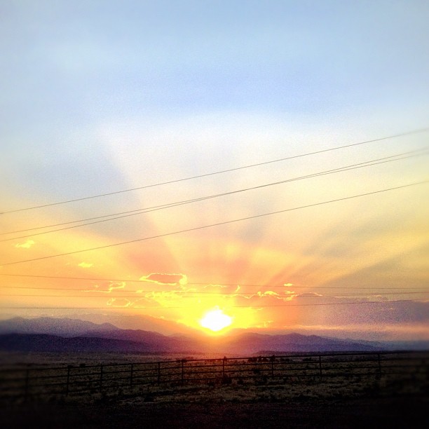
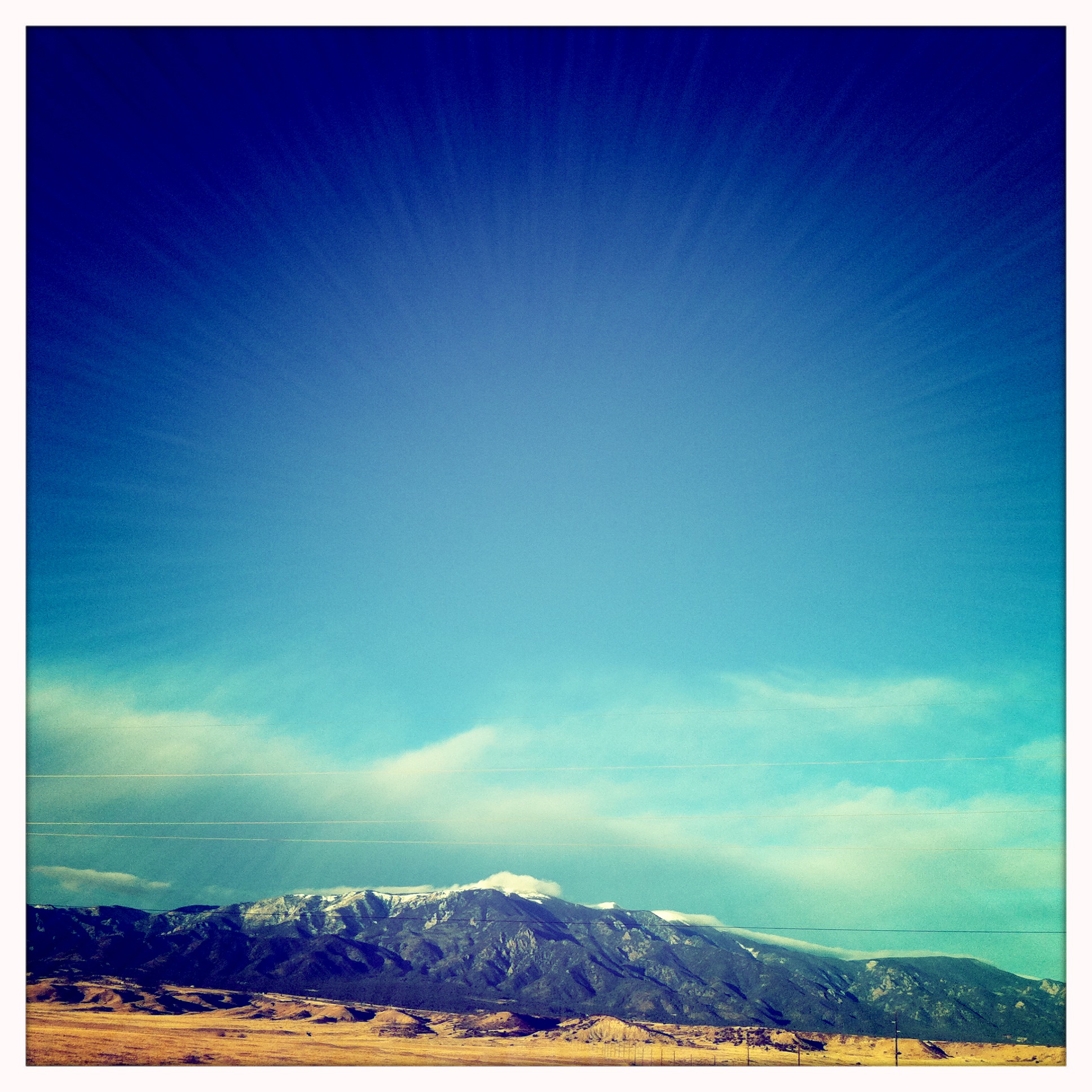
Blue Sky Happiness
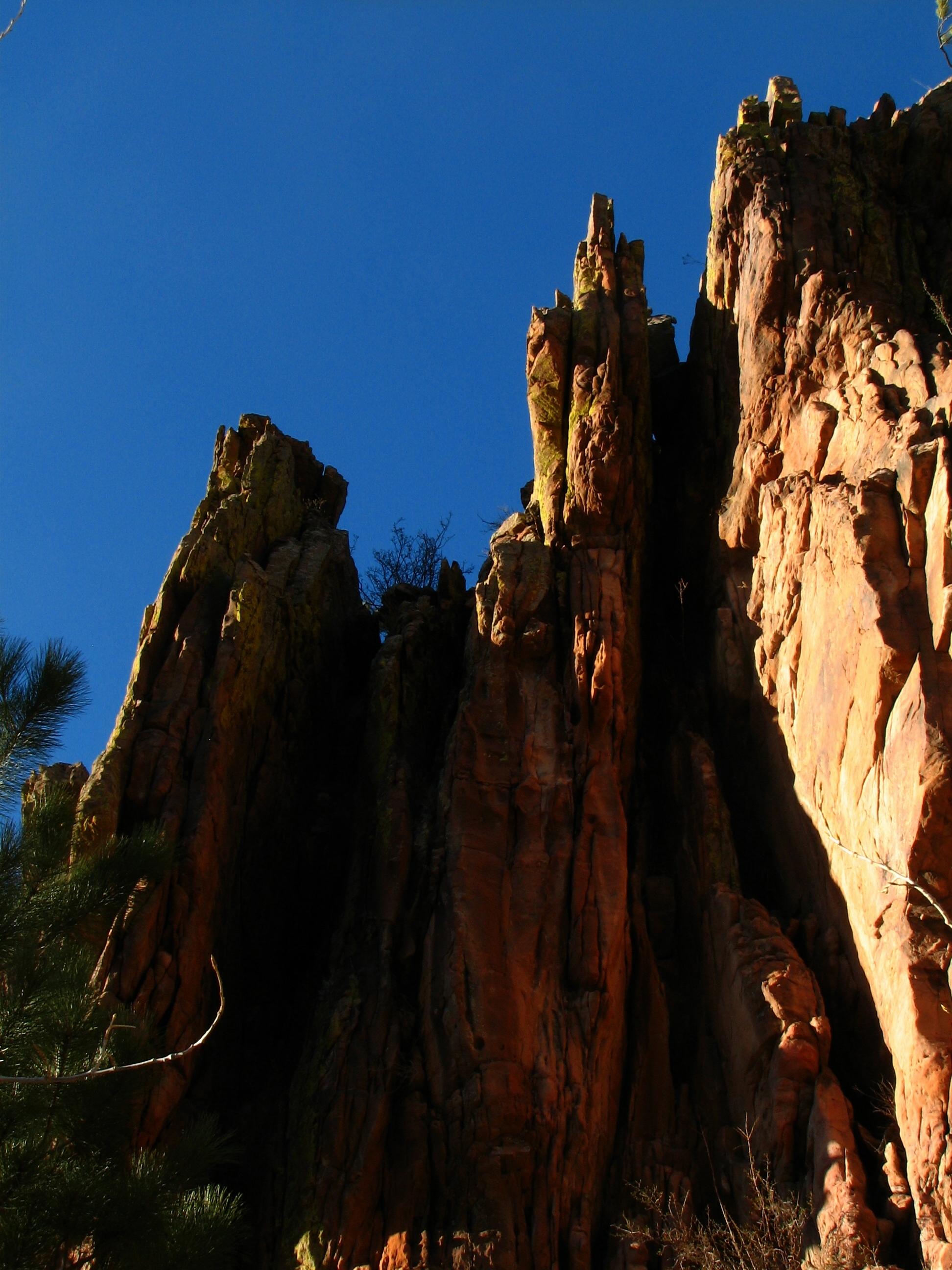
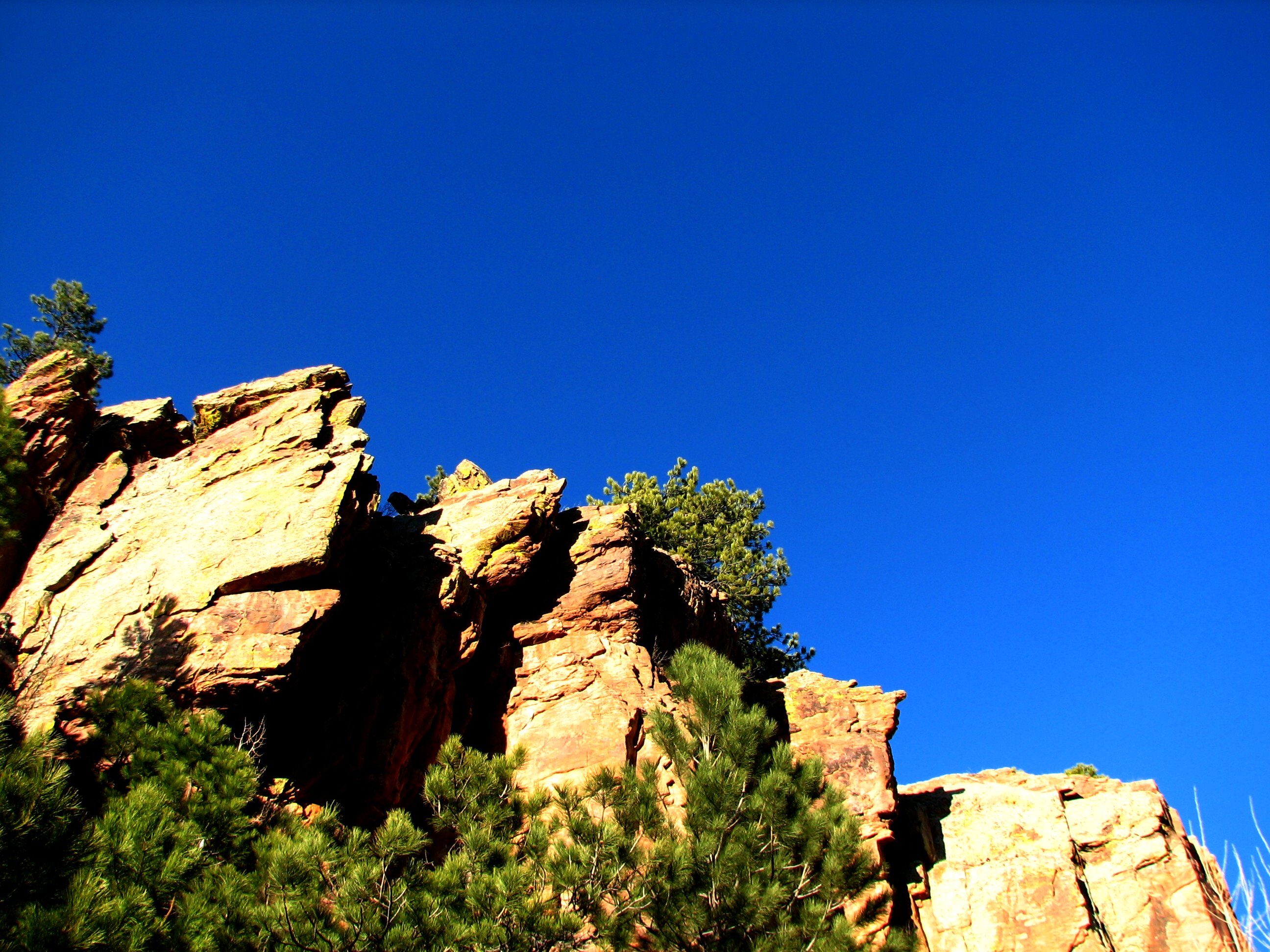
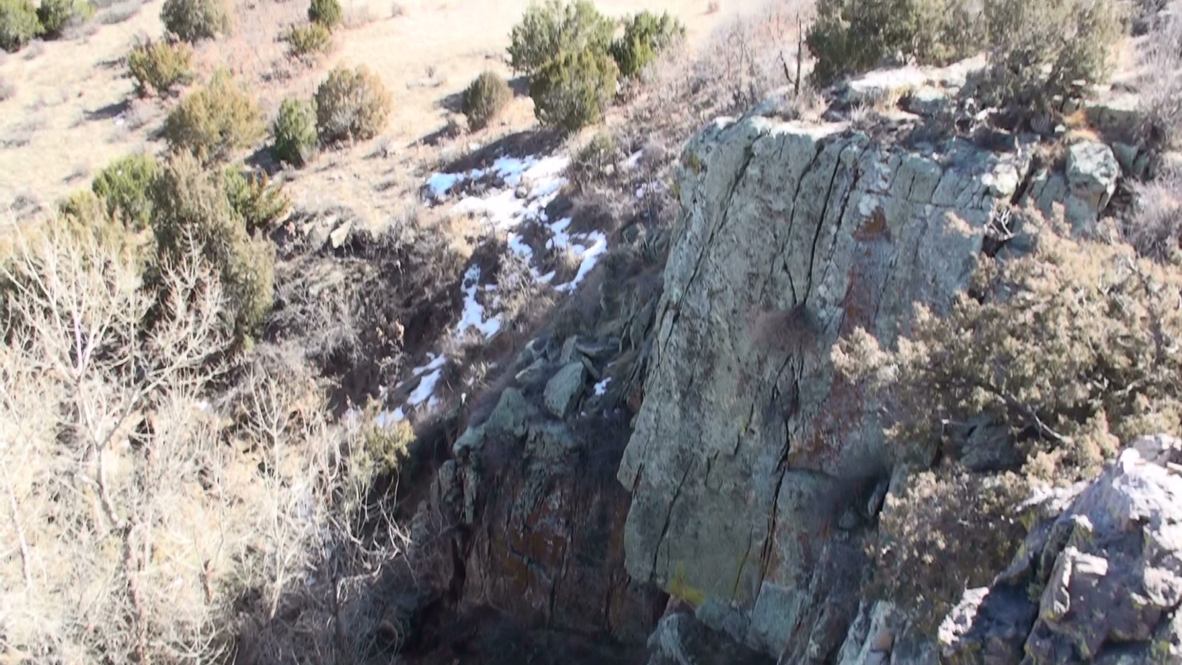
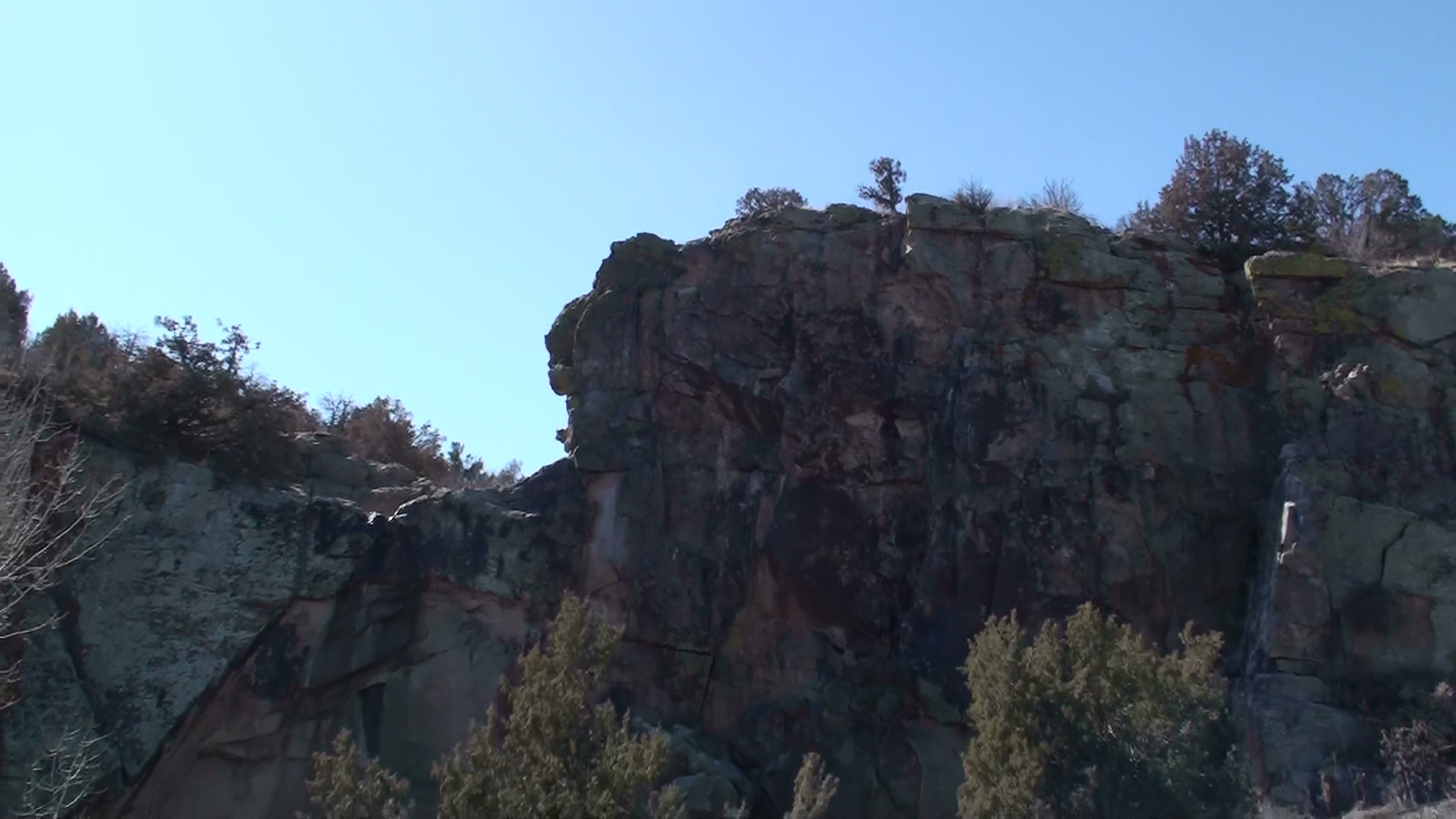
View of Cliffs
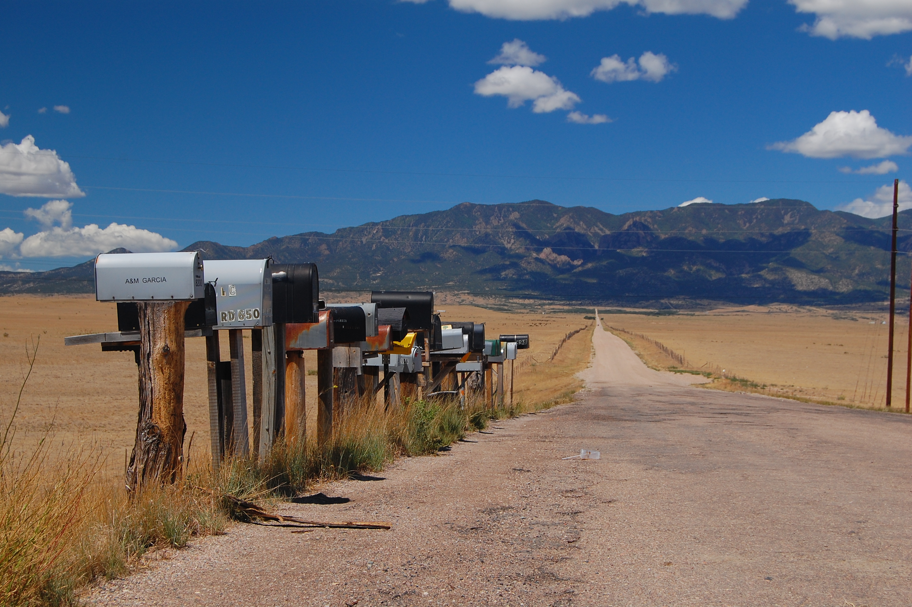
Mailbox vantage point
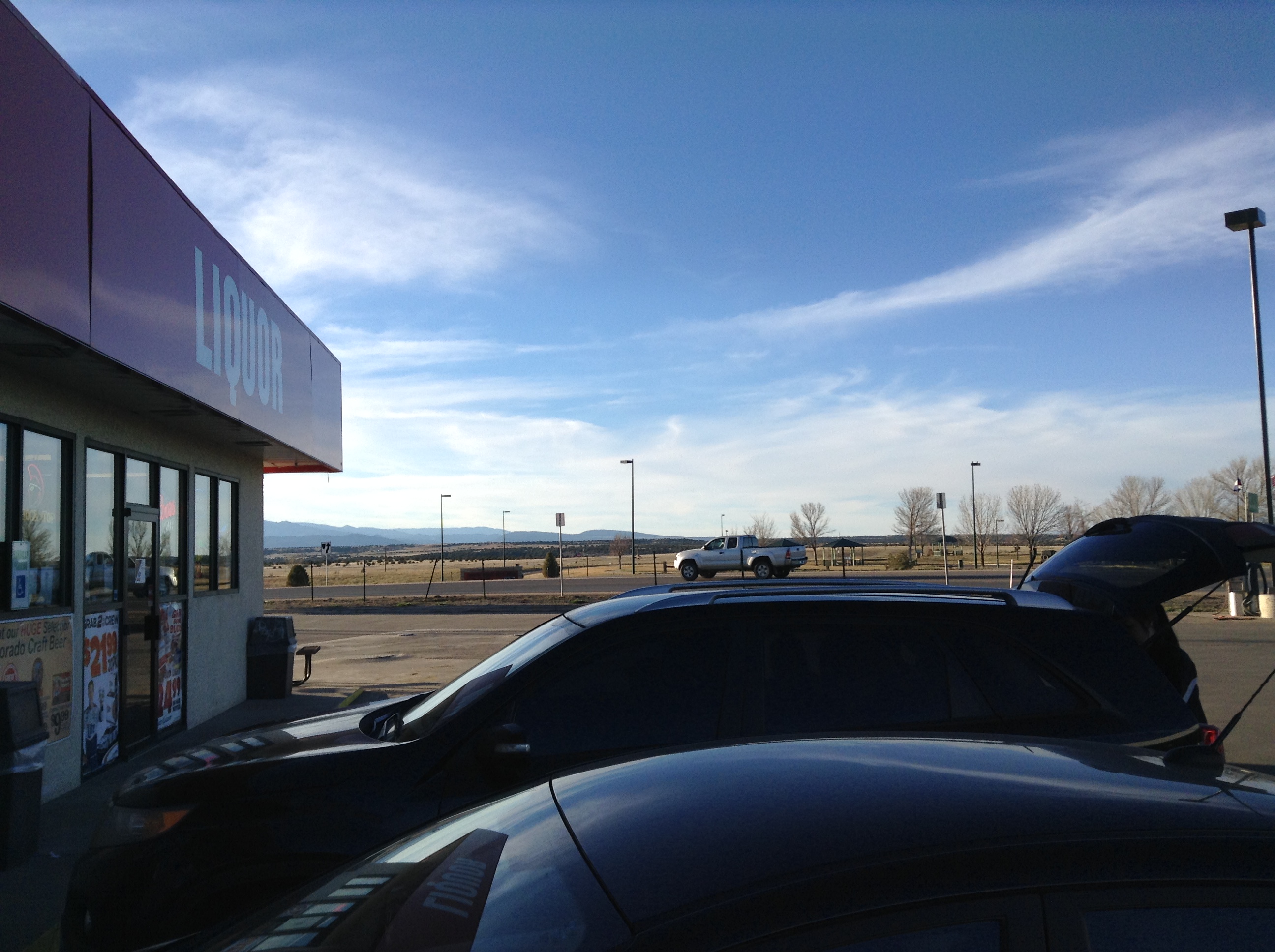
Colorado City, Colo.: view from convenience mart toward mountains

2014 07 28 scenic view from road over mountain between Beulah and Rye Colorado 2

2014 07 28 scenic view from road over mountain between Beulah and Rye Colorado fallen branches in woods
Robo Drive By
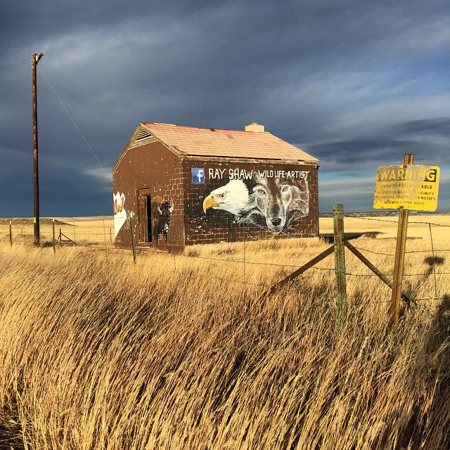
My drive just got longer! I turned around ???? can I say #raodtripporn and not sound creepy? #colorado #I25 #rayshaw THANK YOU!!!
A patch of light
20140523-_E1A2518.jpg
Topographic Forcing
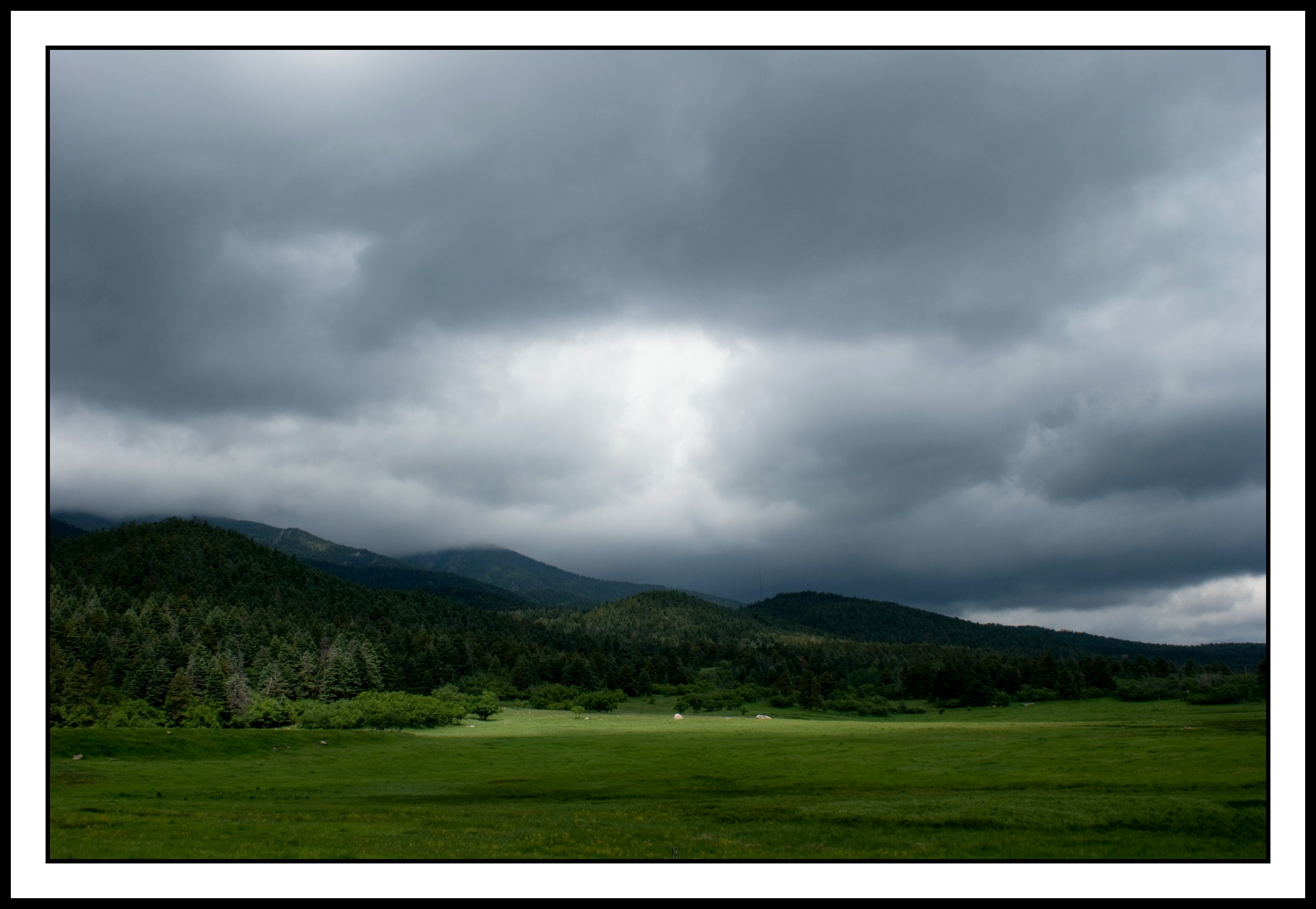
Front Range Storms
St. Charles River: Burnt Mill Road: Pueblo, Colorado (CO)
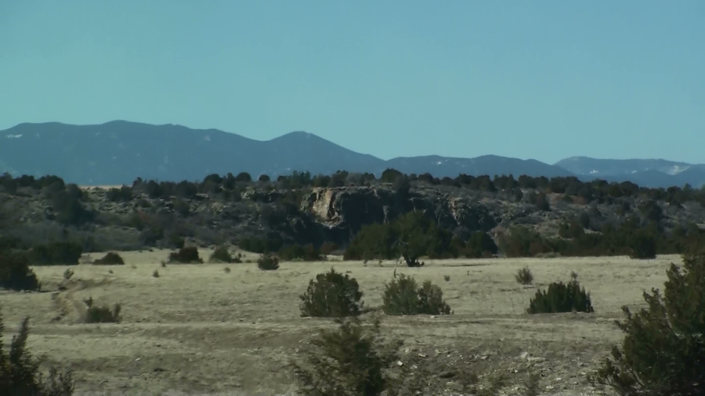
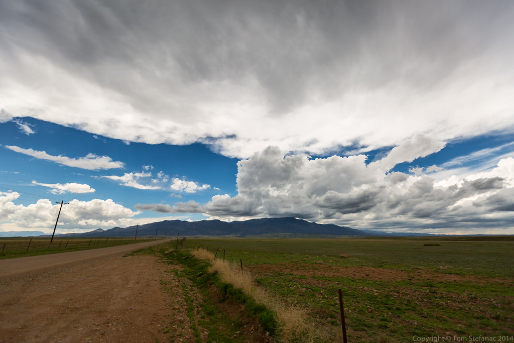
Southern Colorado Landscape
20090221141225(2)
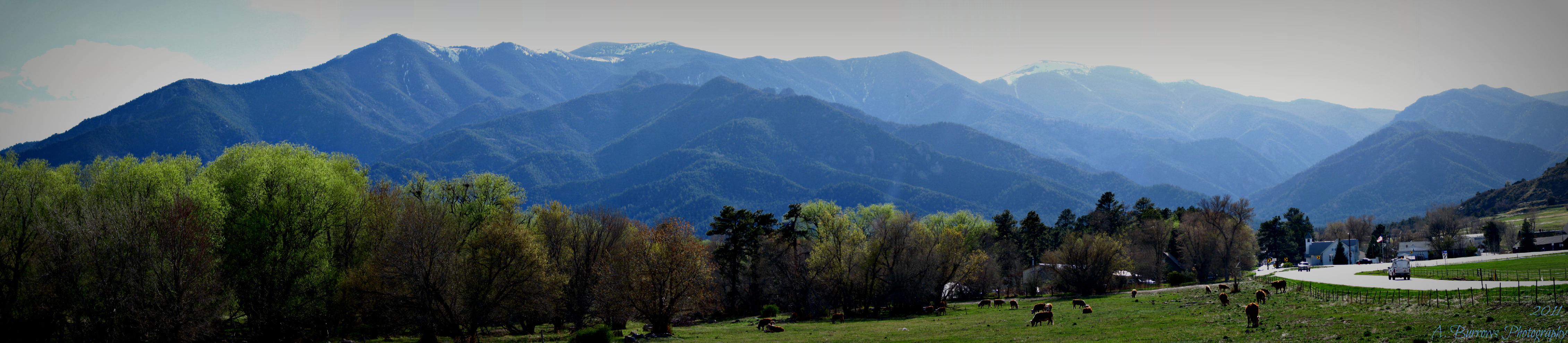
Rye Colorado and Wet Mountains Panoramic

Interstate 25 Between Pueblo and Walsenburg, Colorado
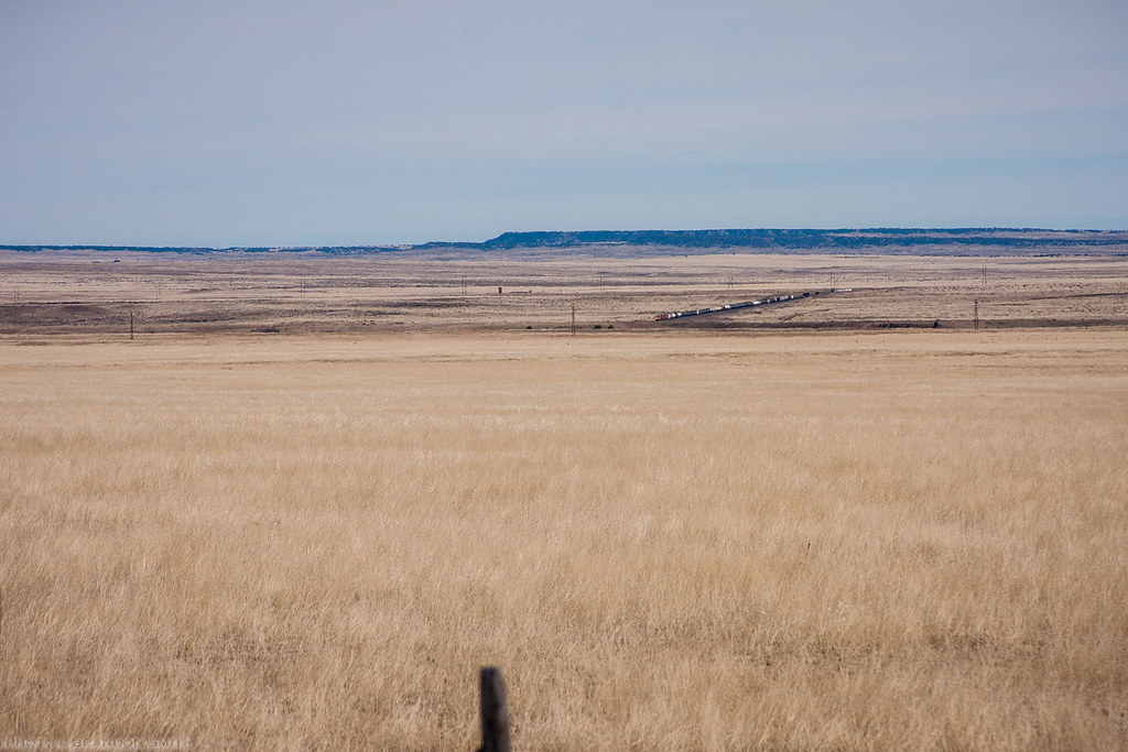
Sneaking Acrosst the Plains
20090221143117(2)
20090221145205(1)
Pike's Peak in the distance
day6-15
20090221144115(1)
day6-13
Topographic Map of Waco Mish Rd, Rye, CO, USA
Find elevation by address:

Places near Waco Mish Rd, Rye, CO, USA:
6095 Waco Mish Rd
6095 Waco Mish Rd
6095 Waco Mish Rd
6095 Waco Mish Rd
6095 Waco Mish Rd
5284 Monte Vista Dr
Sunset Drive
8053 Birch Dr
6912 Geronimo Rd
5181 Cibola Dr
4741 Beckwith Dr
Colorado City, CO, USA
Colorado City
CO-, Colorado City, CO, USA
State Hwy, Rye, CO, USA
10511 Apache City Rd
7921 Co-165
4348 E Jefferson Blvd
Colorado 165
Rye
Recent Searches:
- Elevation of Hercules Dr, Colorado Springs, CO, USA
- Elevation of Szlak pieszy czarny, Poland
- Elevation of Griffing Blvd, Biscayne Park, FL, USA
- Elevation of Kreuzburger Weg 13, Düsseldorf, Germany
- Elevation of Gateway Blvd SE, Canton, OH, USA
- Elevation of East W.T. Harris Boulevard, E W.T. Harris Blvd, Charlotte, NC, USA
- Elevation of West Sugar Creek, Charlotte, NC, USA
- Elevation of Wayland, NY, USA
- Elevation of Steadfast Ct, Daphne, AL, USA
- Elevation of Lagasgasan, X+CQH, Tiaong, Quezon, Philippines