Elevation of Sunningdale, Norwich NR4 6AQ, UK
Location: United Kingdom > Norfolk > Norwich >
Longitude: 1.2671954
Latitude: 52.6120978
Elevation: 31m / 102feet
Barometric Pressure: 101KPa
Elevation Map:
Satellite Map:
Related Photos:
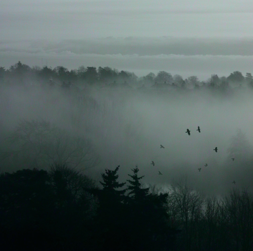
Misty View

Eaton Park Tree Line 14/11/14

Think I Might Get Lost In My Dreams {Thanks ~ Explore}
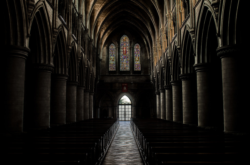
Norwich Cathedral Church, UK - DARKNESS
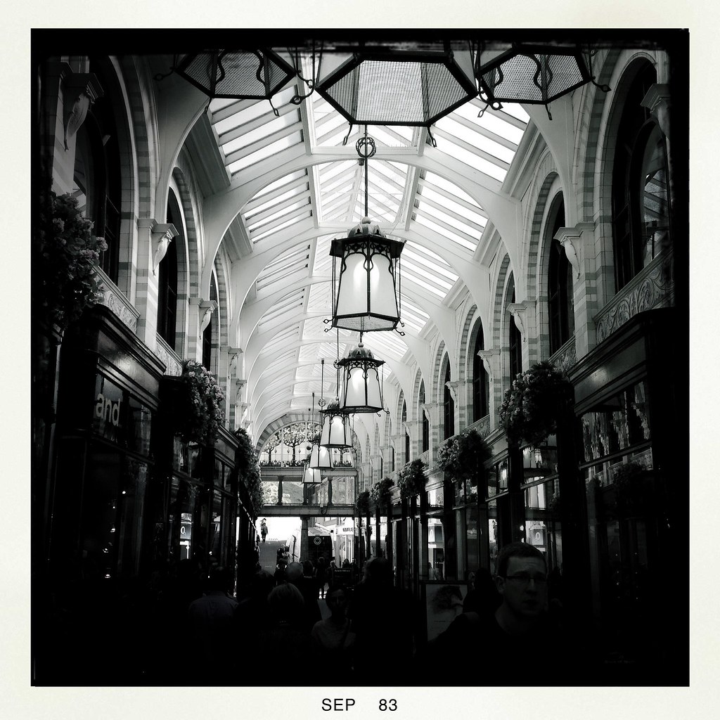
The Royal Arcade, Norwich - Explored!
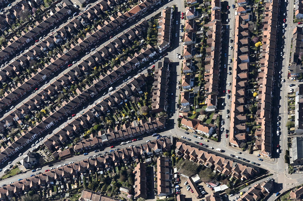
Top of Grapes Hill in Norwich - uk aerial
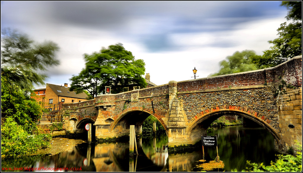
30 second view of Bishop Bridge
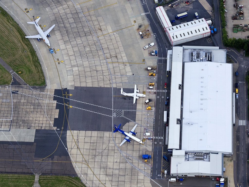
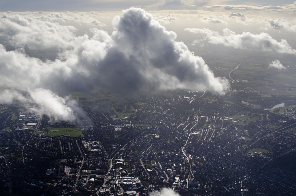
Norwich International Airport aerial image
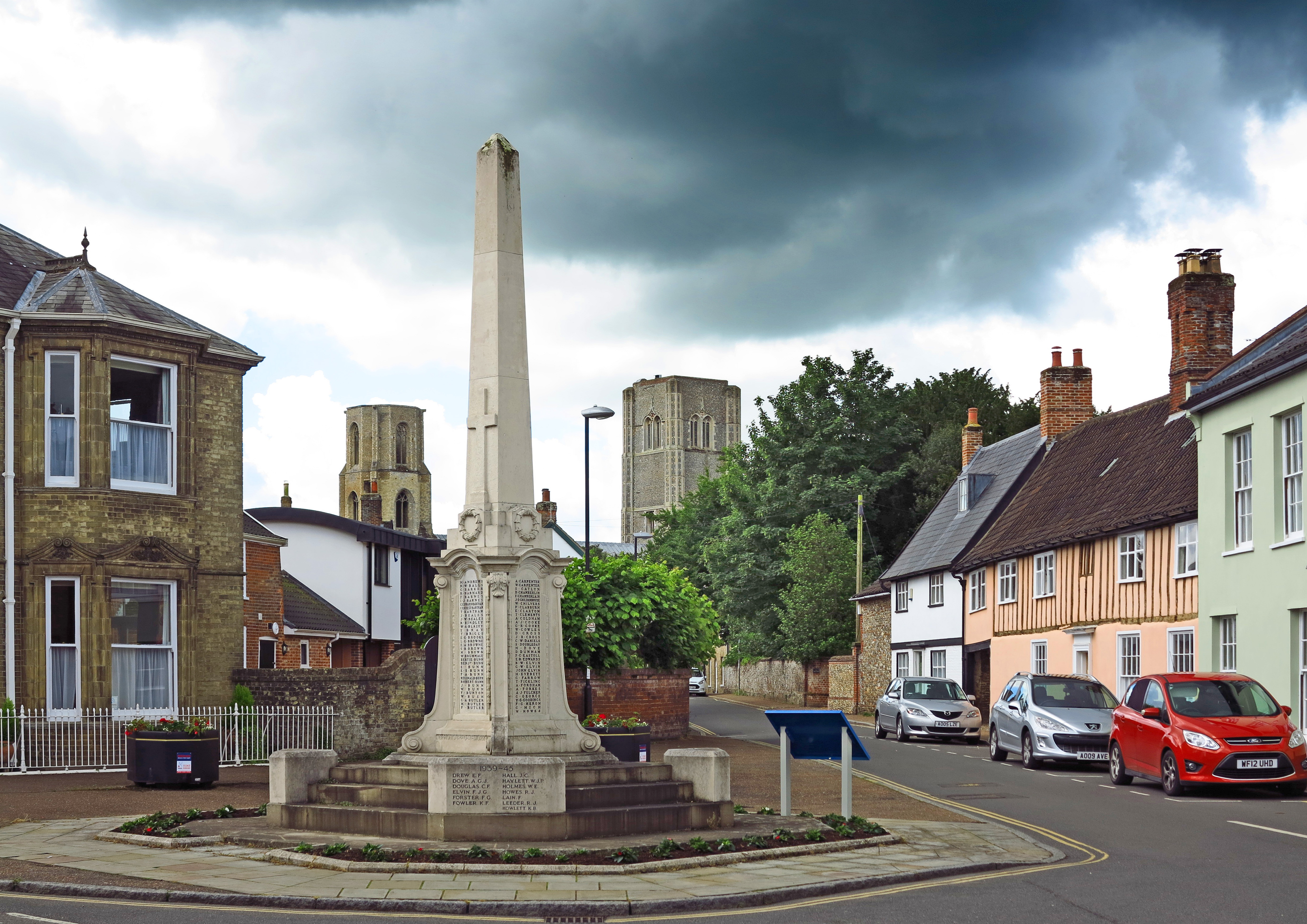
Metaphor for the storms to come war and history Wymondham A3
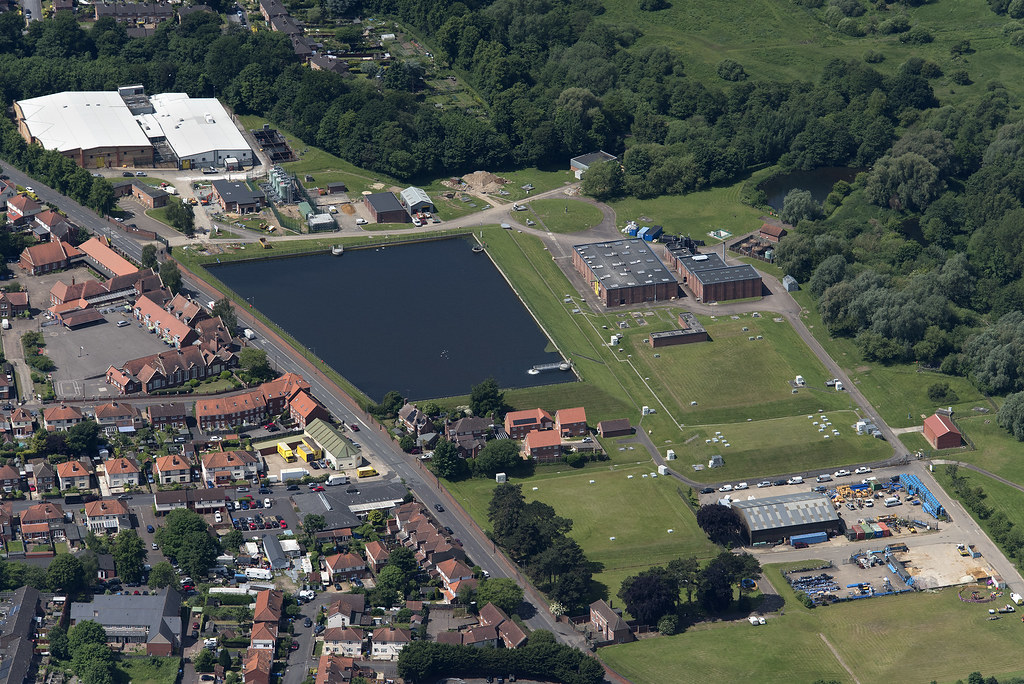
Norwich Heigham Water Treatment Works - uk aerial
you've had your day...
UNIVERSITY LAKE NORFOLK, best viewed large
UNIVERSITY LAKE NORFOLK, best viewed large
time....
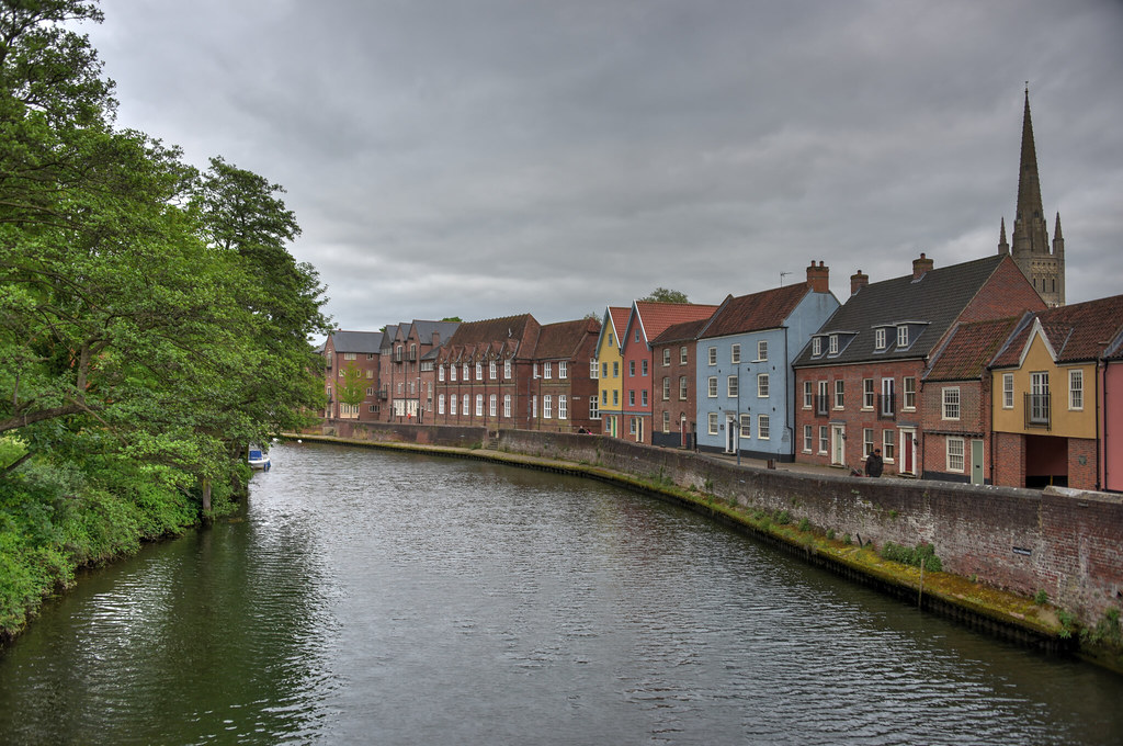
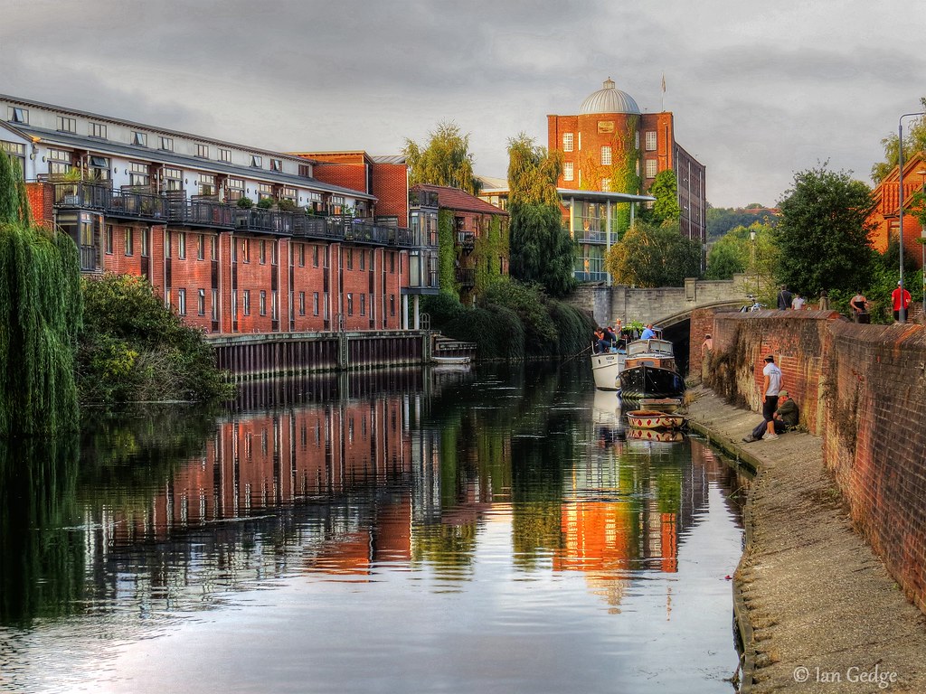
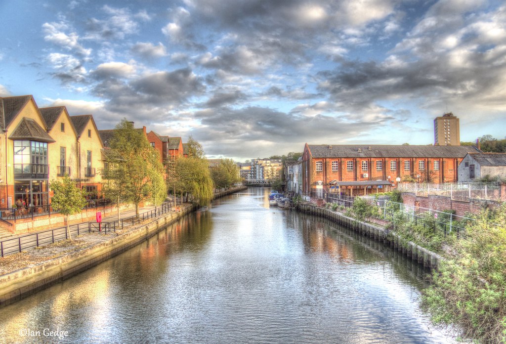
Quay Side, Norwich
The Golden Triangle in Norwich - aerial
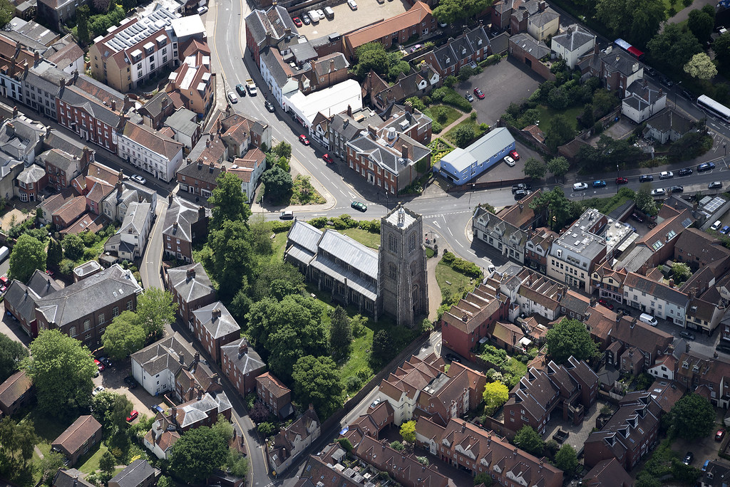
St Giles Church in Norwich - Norfolk UK aerial
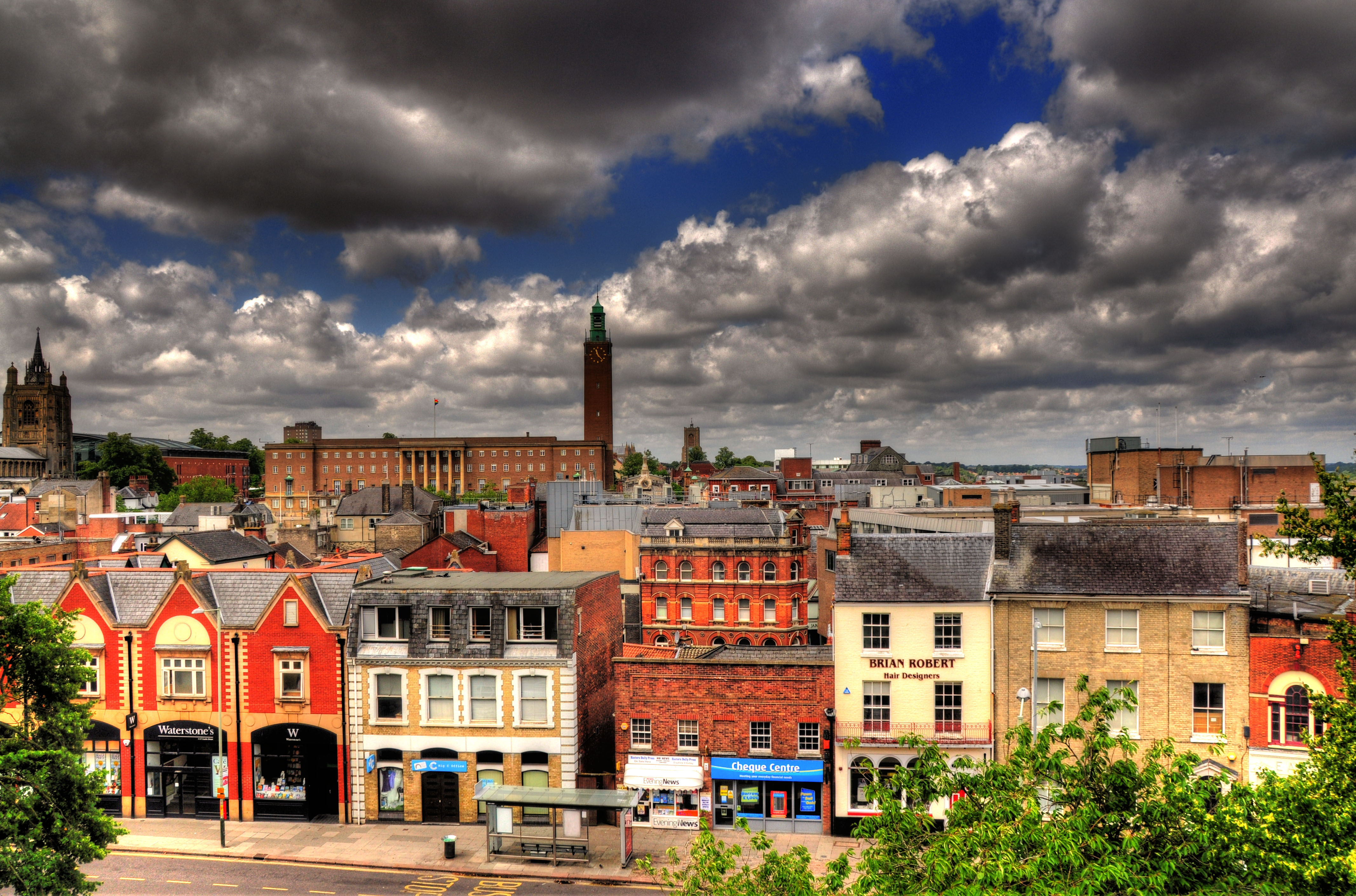
Norwich Panorama
Fye Bridge over the River Wensum in Norwich - aerial

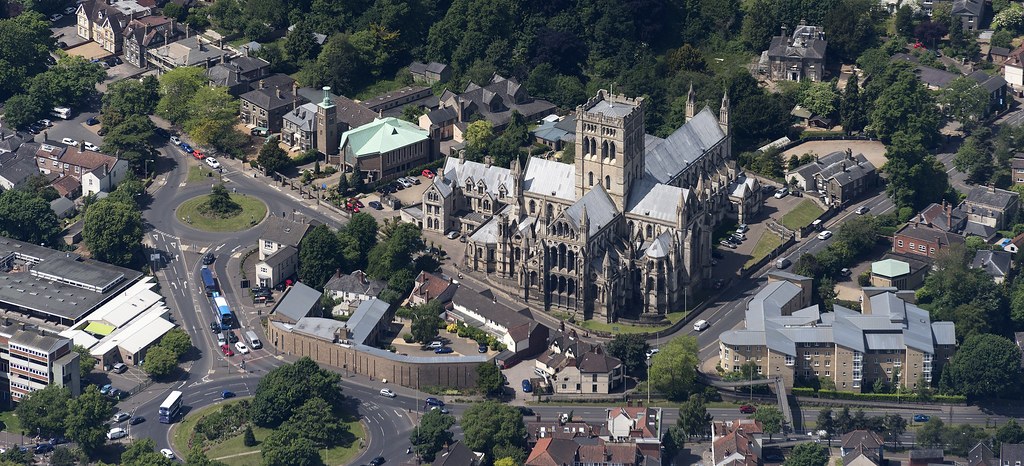
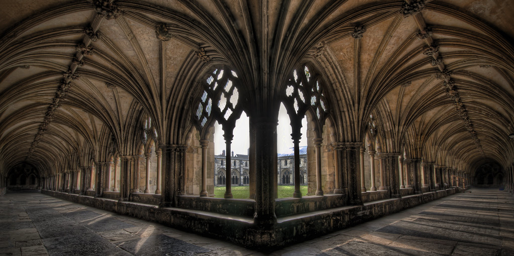
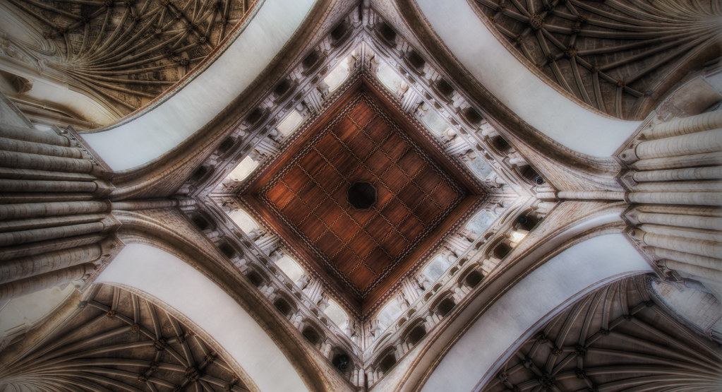
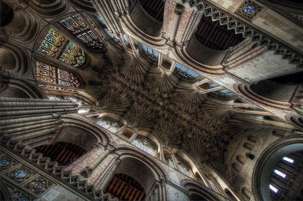
Norwich Cathedral, Norfolk
Duke Street & Oak Street area of Norwich - aerial
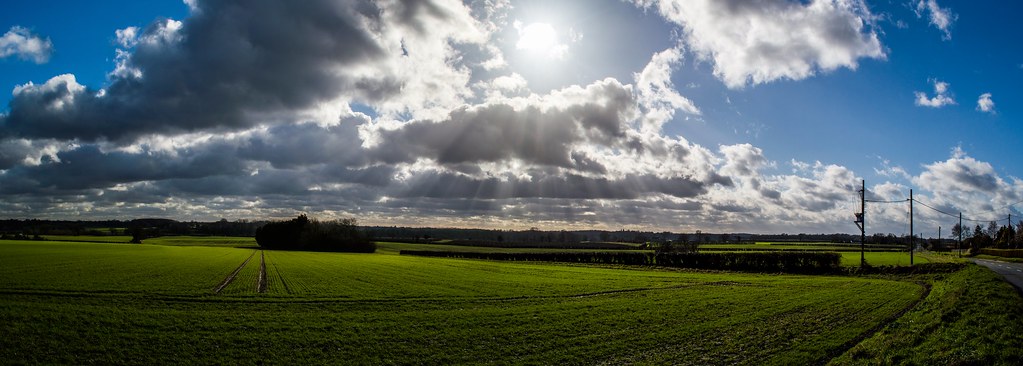
Norfolk Countryside [127/365 2017]
Into the Heavens...

Norwich 20 July 2009.jpg

Cropsprayer [119/365 2017]
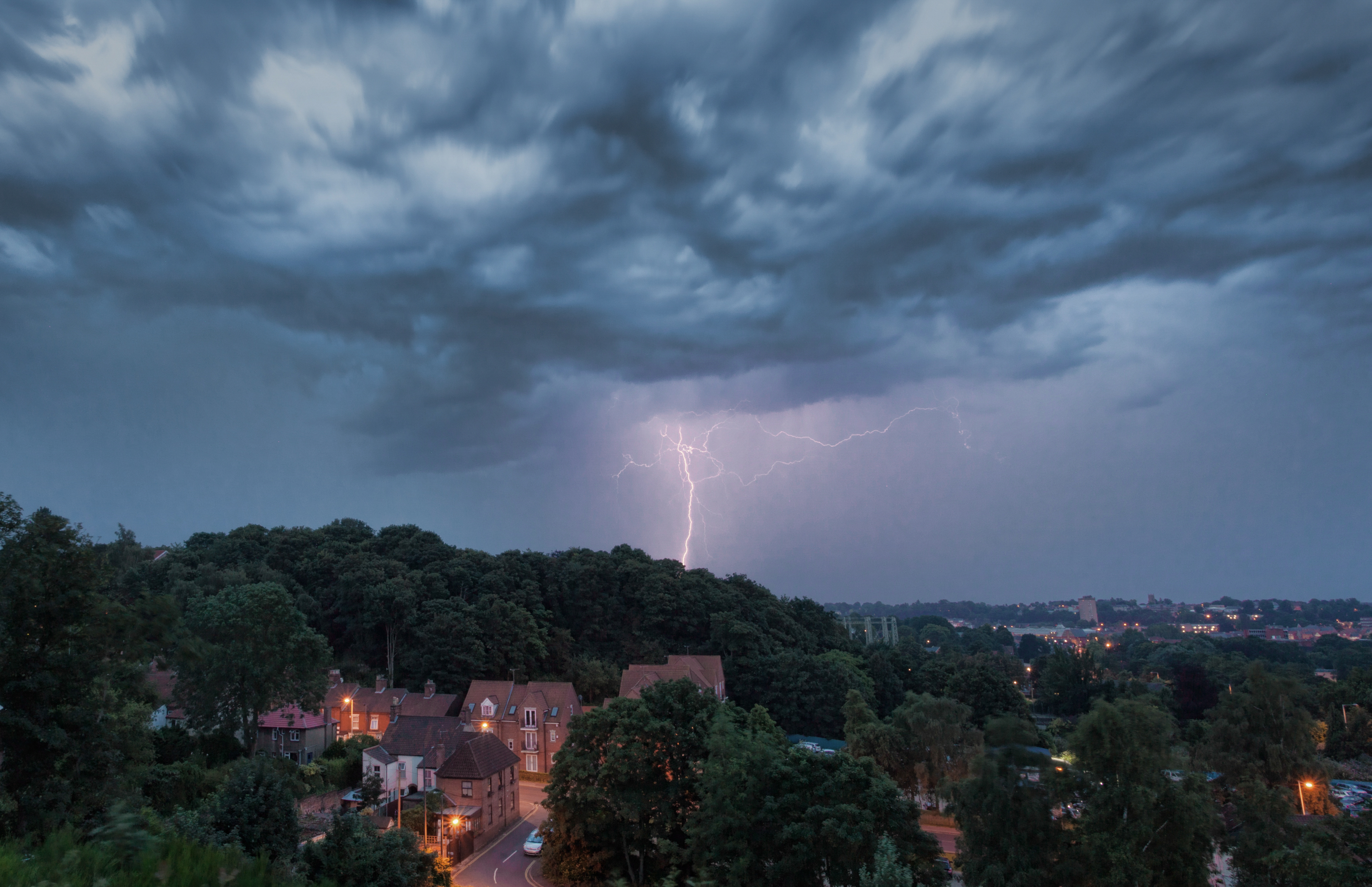
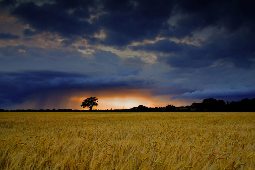
Stormy Norwich
Which Way...
In To The Heavens...
Over Norwich before the rain
Barford Landscape

Pulls Ferry

The Jarrolds Bridge
Caen Meadow Sunset, Wroxham
CloudBreak (EXPLORE)

THE QUAY SIDE (D3S_8105s)

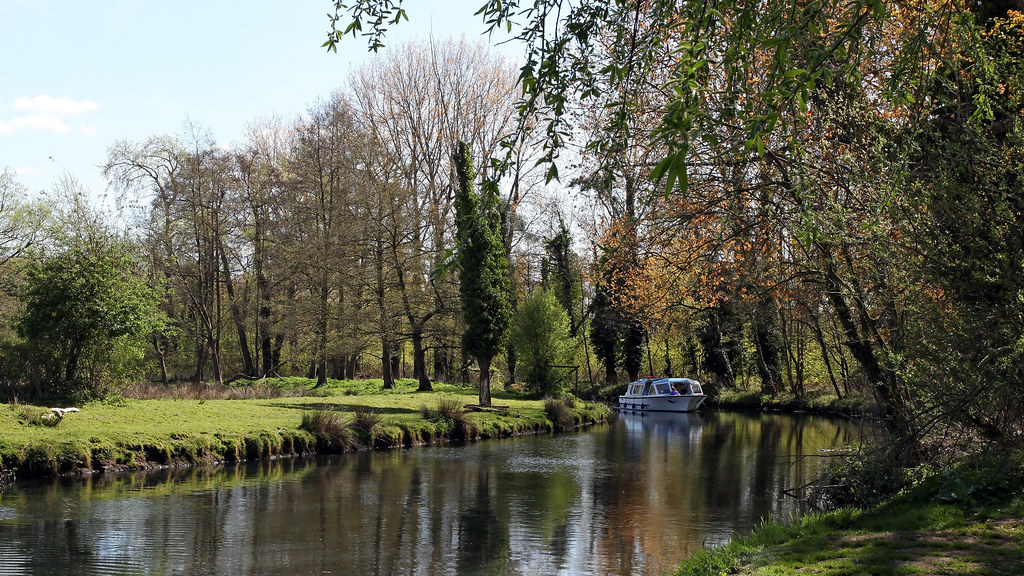
River Wensum, Norwich
River Wensum, Norwich
Norwich Riverside
Heavens Above...
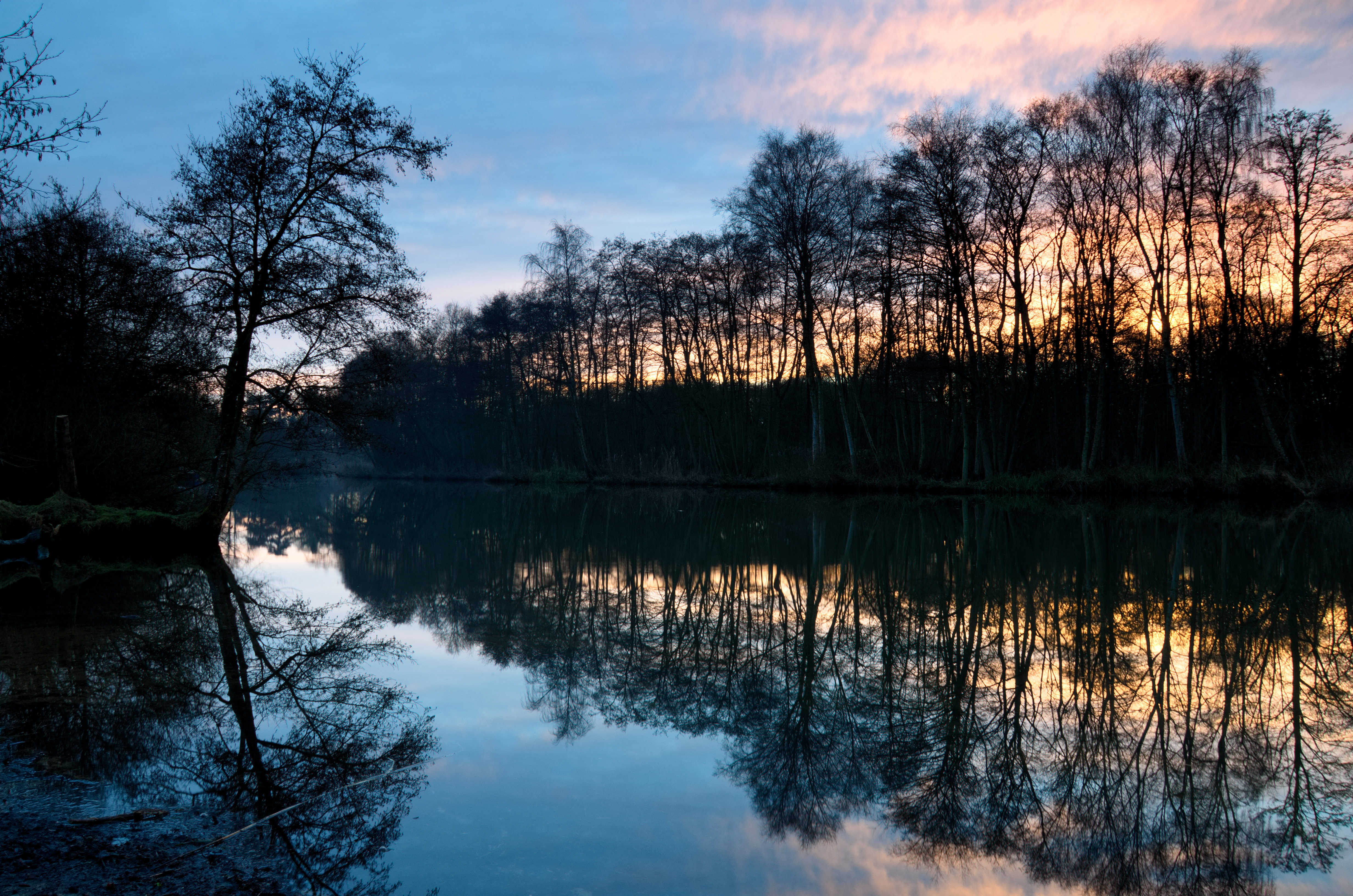
River Bure at Horstead, Norfolk.

I wish it would rain down, down on me
Topographic Map of Sunningdale, Norwich NR4 6AQ, UK
Find elevation by address:

Places near Sunningdale, Norwich NR4 6AQ, UK:
1 Leopold Rd, Norwich NR4 7AD, UK
Fairfield Road
Nr2 2db
Nr2 2by
Nr5 8qe
Norwich Market
Norwich Labour Party
Dukes Palace Wharf
Norwich Castle
31 Rockingham Rd
Nr3 1hw
Norwich
Milverton Road
Bracondale Court
Norwich Cathedral
Norwich Cathedral
County Hall
Europa Way
Carrow Road Stadium
Nr3
Recent Searches:
- Elevation of Tenjo, Cundinamarca, Colombia
- Elevation of Côte-des-Neiges, Montreal, QC H4A 3J6, Canada
- Elevation of Bobcat Dr, Helena, MT, USA
- Elevation of Zu den Ihlowbergen, Althüttendorf, Germany
- Elevation of Badaber, Peshawar, Khyber Pakhtunkhwa, Pakistan
- Elevation of SE Heron Loop, Lincoln City, OR, USA
- Elevation of Slanický ostrov, 01 Námestovo, Slovakia
- Elevation of Spaceport America, Co Rd A, Truth or Consequences, NM, USA
- Elevation of Warwick, RI, USA
- Elevation of Fern Rd, Whitmore, CA, USA