Elevation map of Norfolk, UK
Location: United Kingdom >
Longitude: 0.8864021
Latitude: 52.6139686
Elevation: 60m / 197feet
Barometric Pressure: 101KPa
Elevation Map:
Satellite Map:
Related Photos:
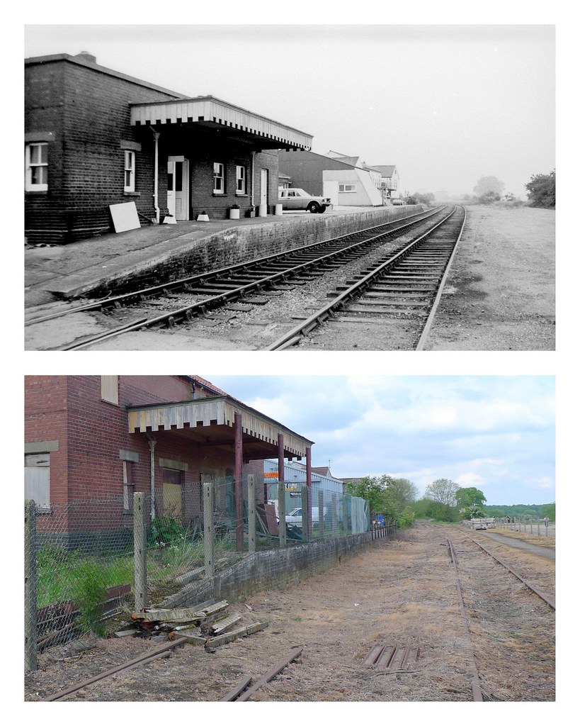
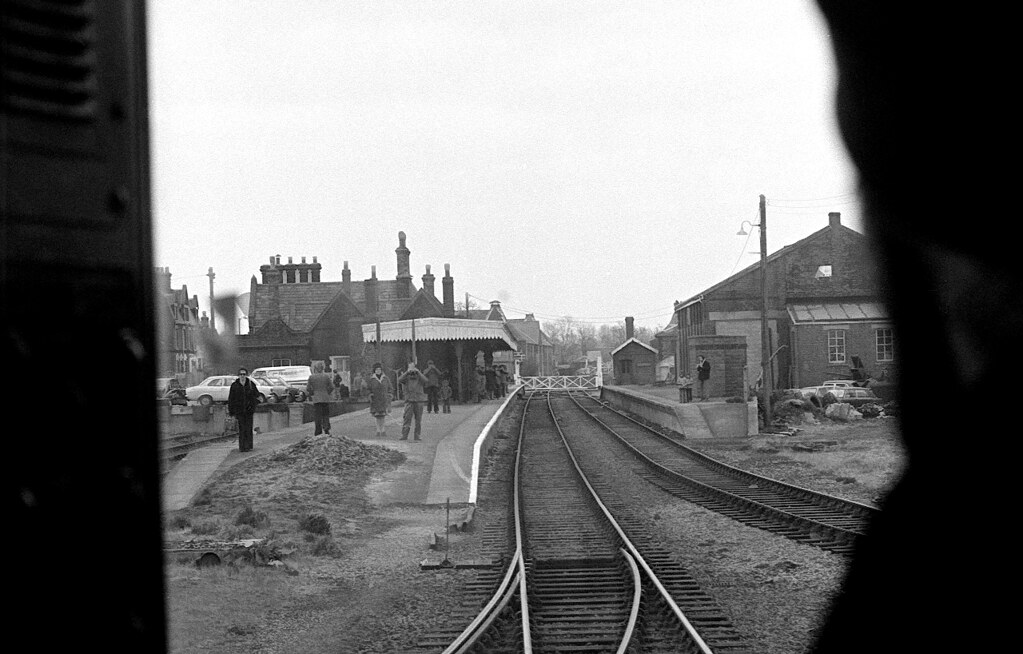
North Elmham station 1973 and 2009
602 STANFIELD St Margaret

Surrealist Garden

Castle Acre, The Double Bridge

Stratford 47 - 47596 at Dereham 24/11/12
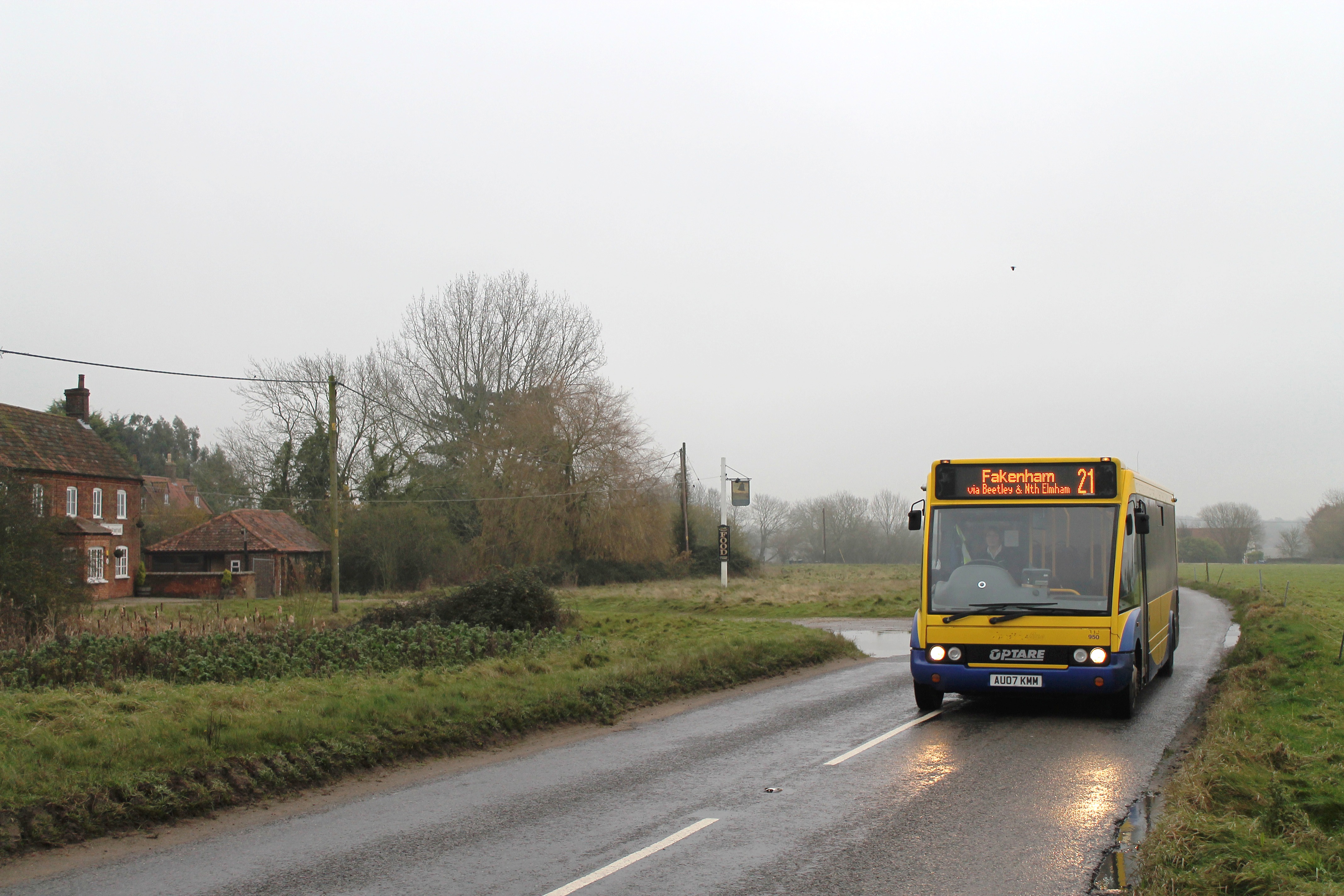
Konectbus 950 1030hrs Dereham to Fakenham 281114

King's Lynn and Towards the Wash
Worthing Panorama
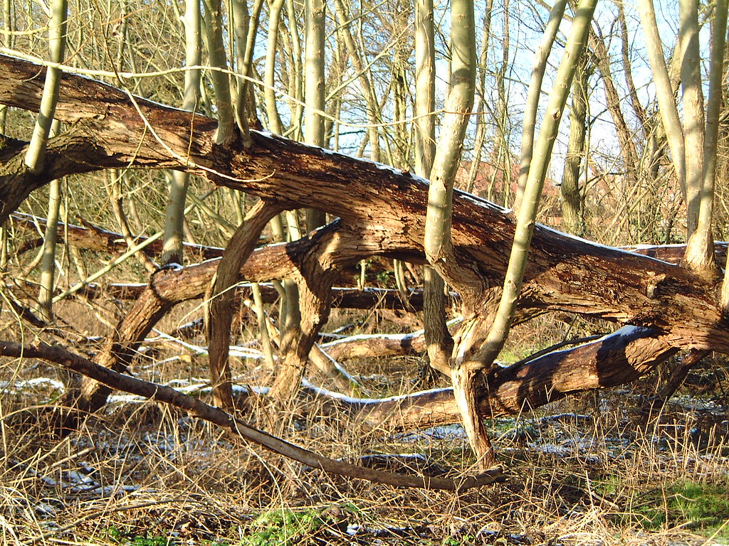
Woodland View

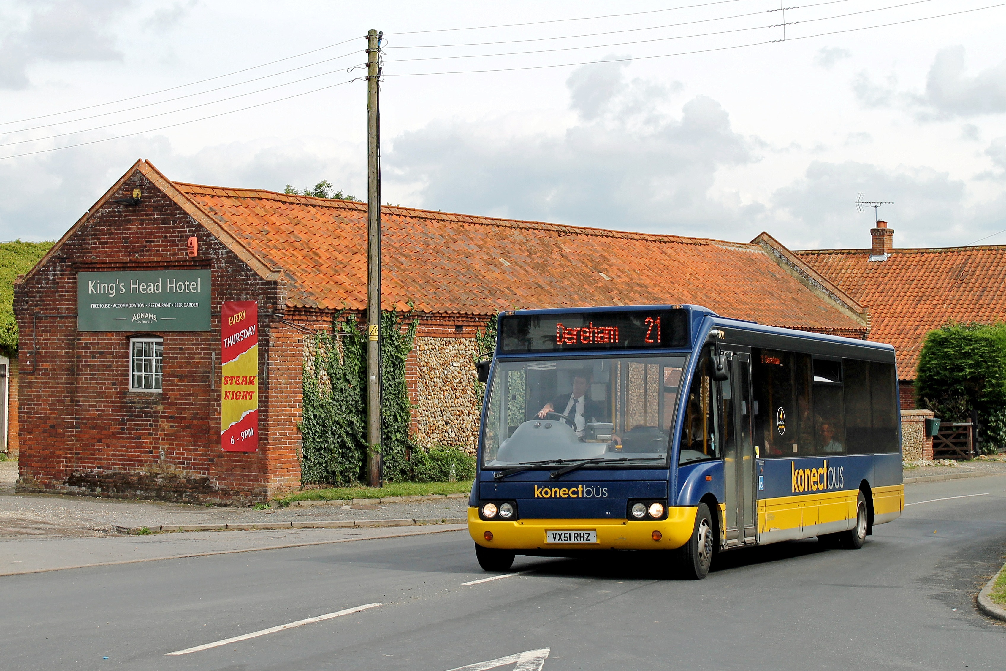
Konectbus 219 0935hrs Fakenham to Dereham 230514

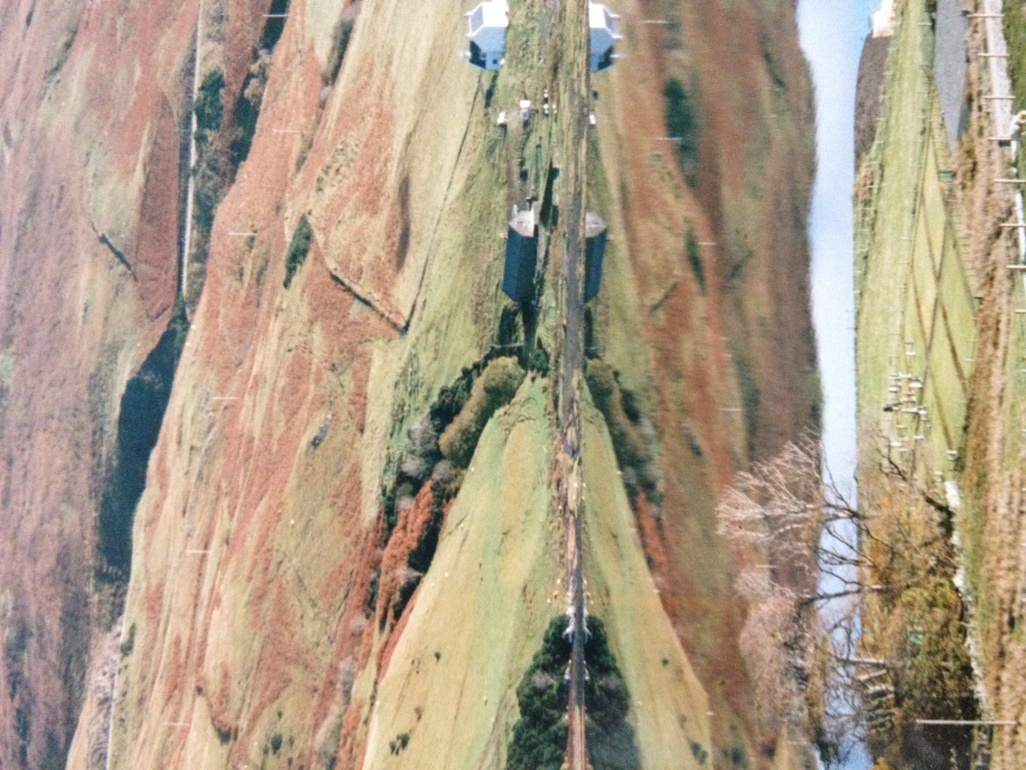
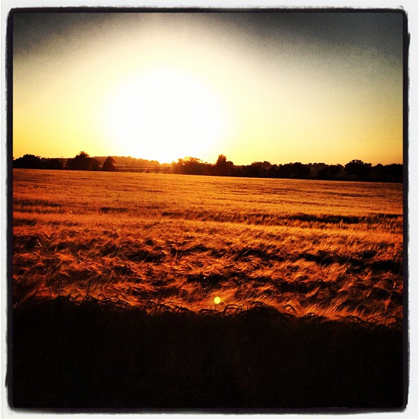
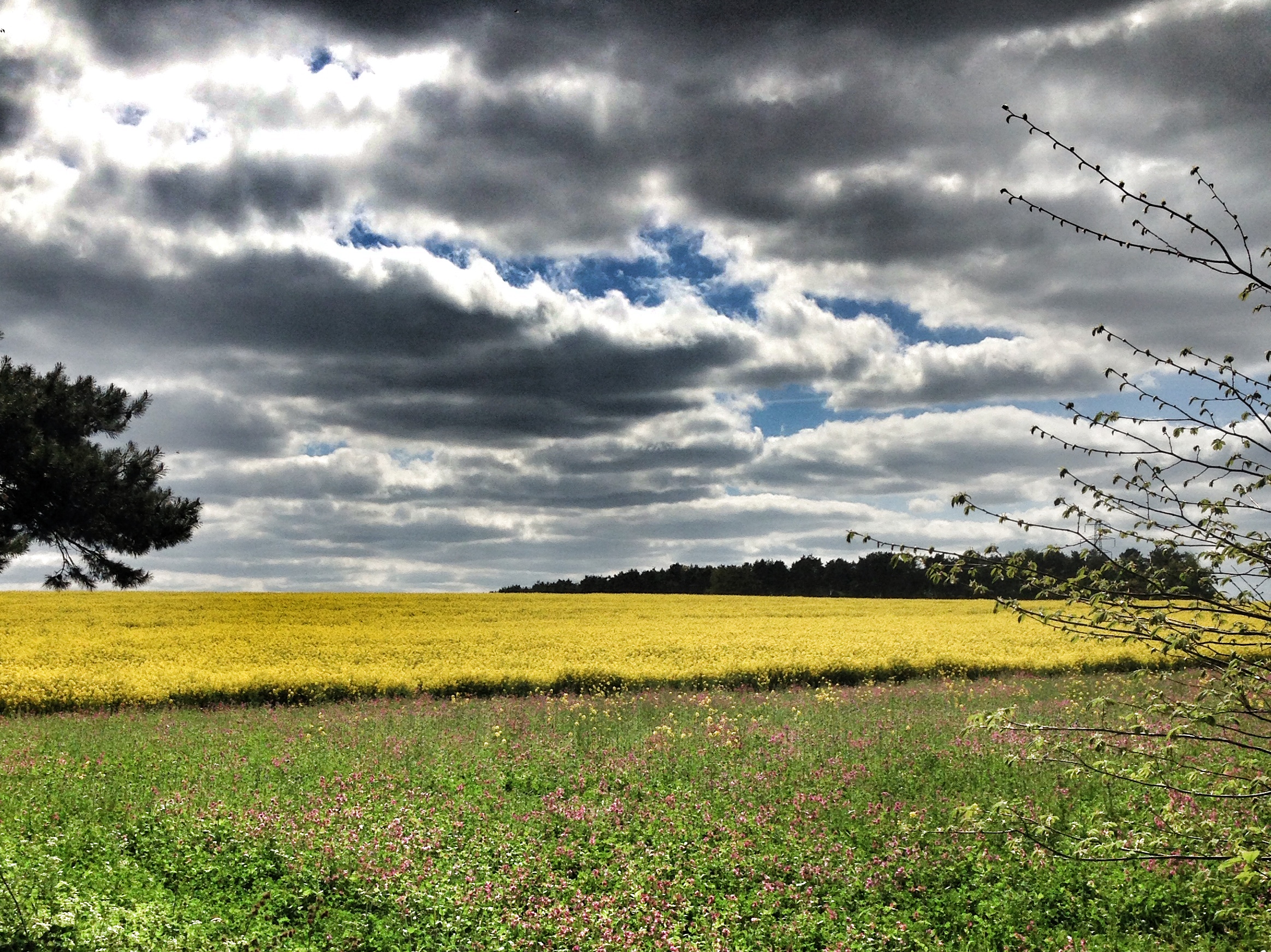
Farming view Little Cressingham

Wymondham abbey
Konectbus 900 1340hrs Fakenham to Dereham 280814
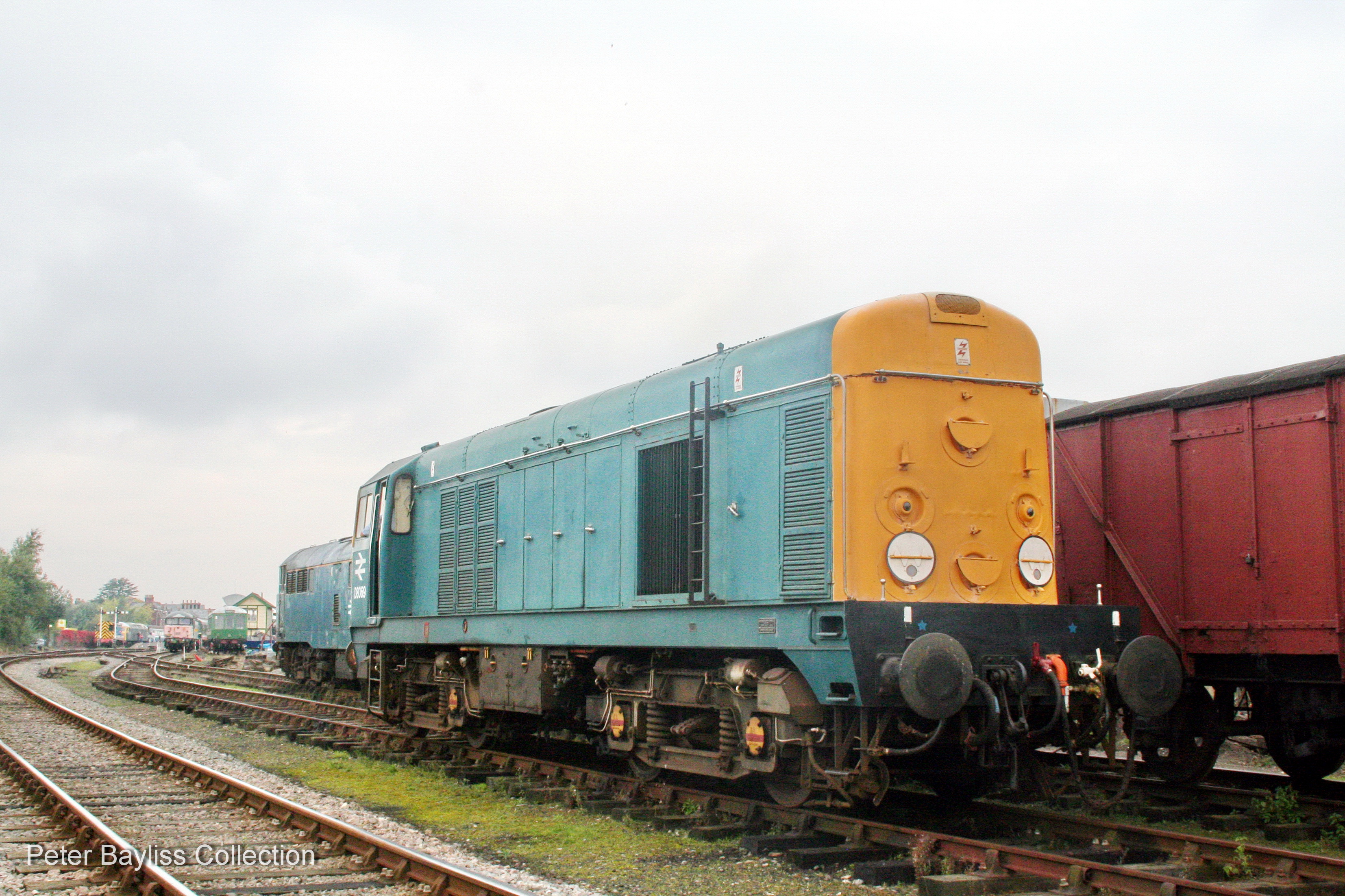
Class 20 D8069 (2)
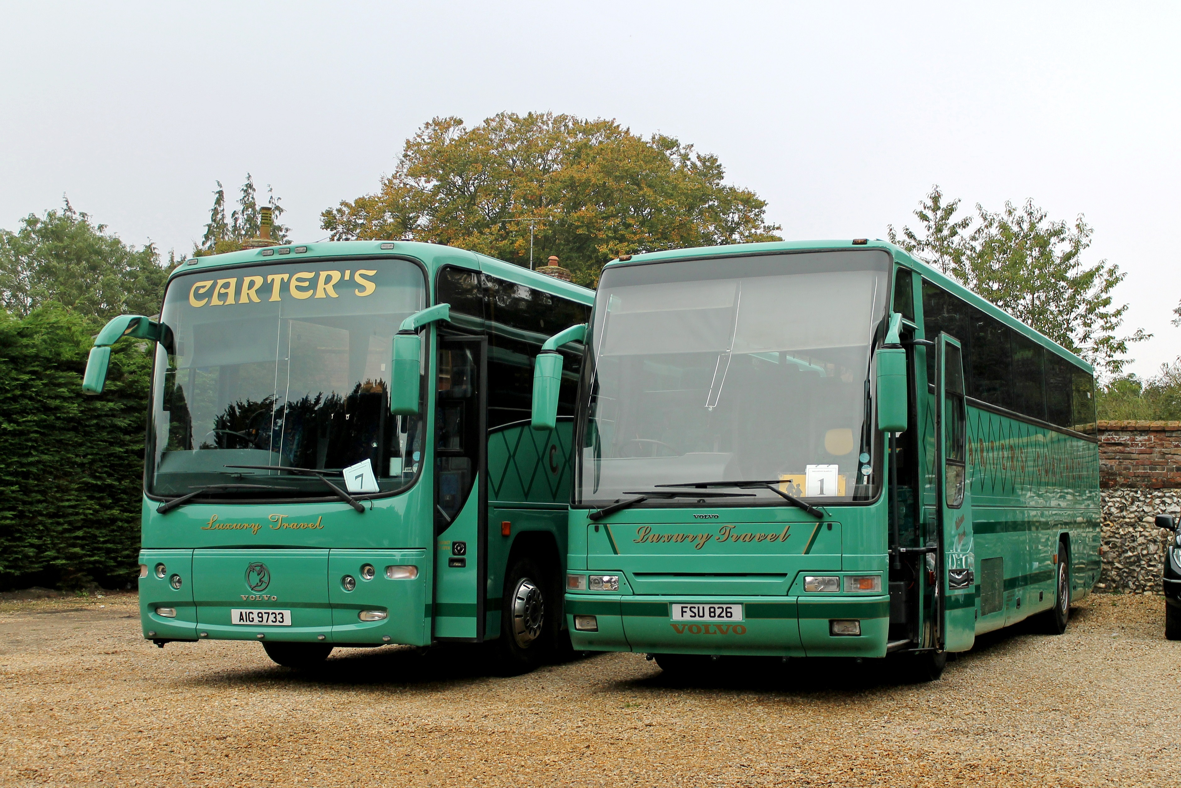
Carter's AIG 9733 & FSU 826 Litcham 300914

Castle Acre and Newton, Looking North
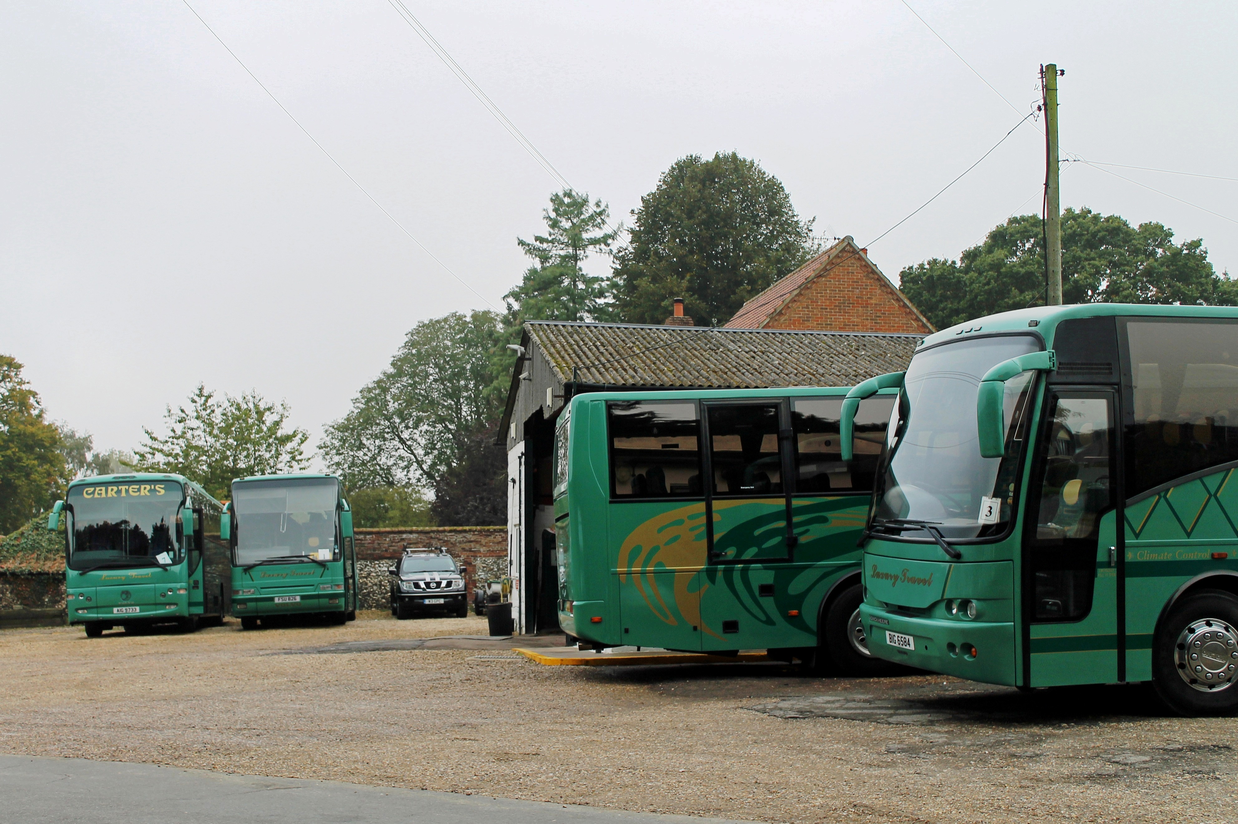
Carter's Yard & Garage Litcham 300914
Dereham station 1978 (2)
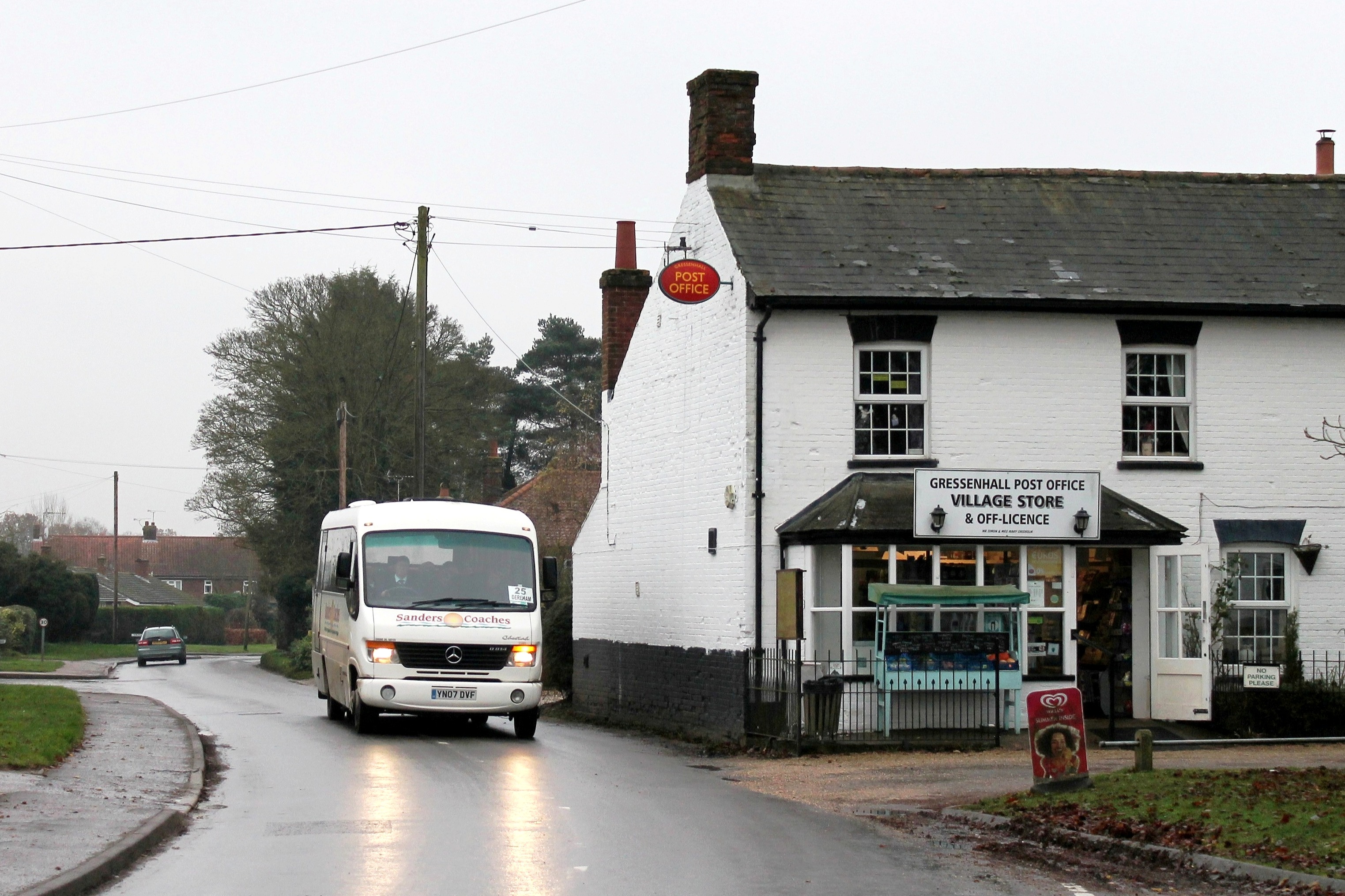
Sanders 1101 0930hrs Fakenham to Dereham 281114
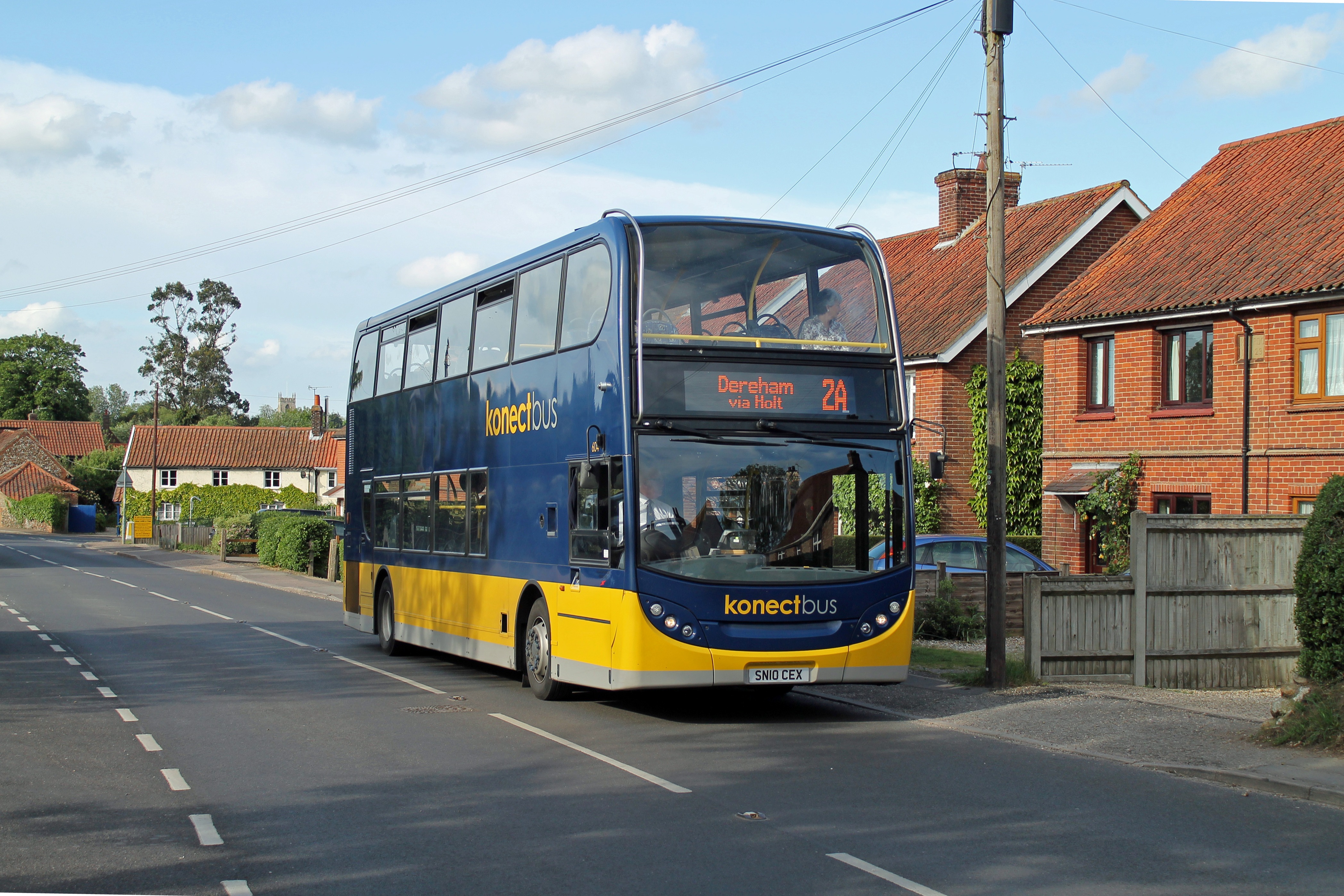
Konectbus 604 1655hrs Sheringham to Dereham 230514
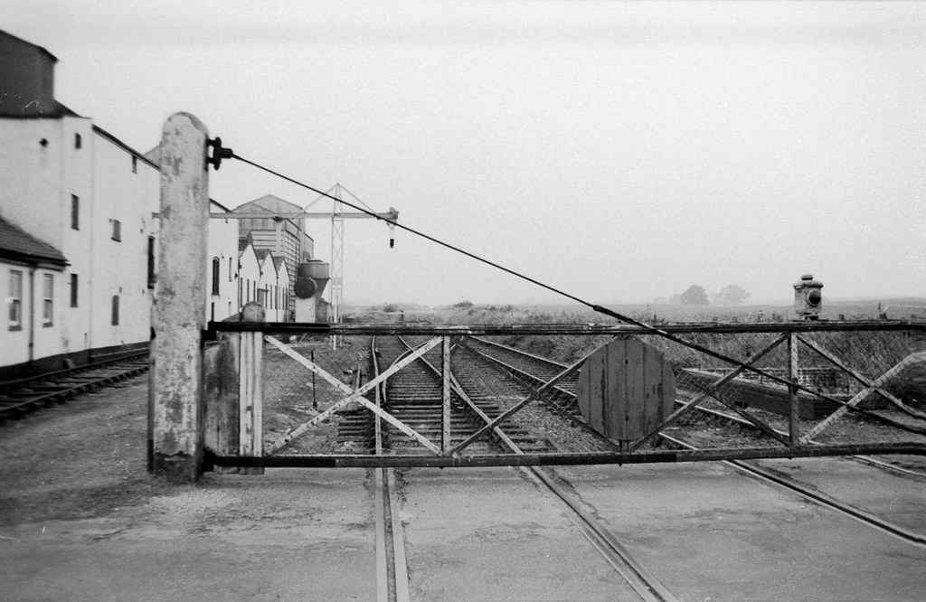
North Elmham station 1973
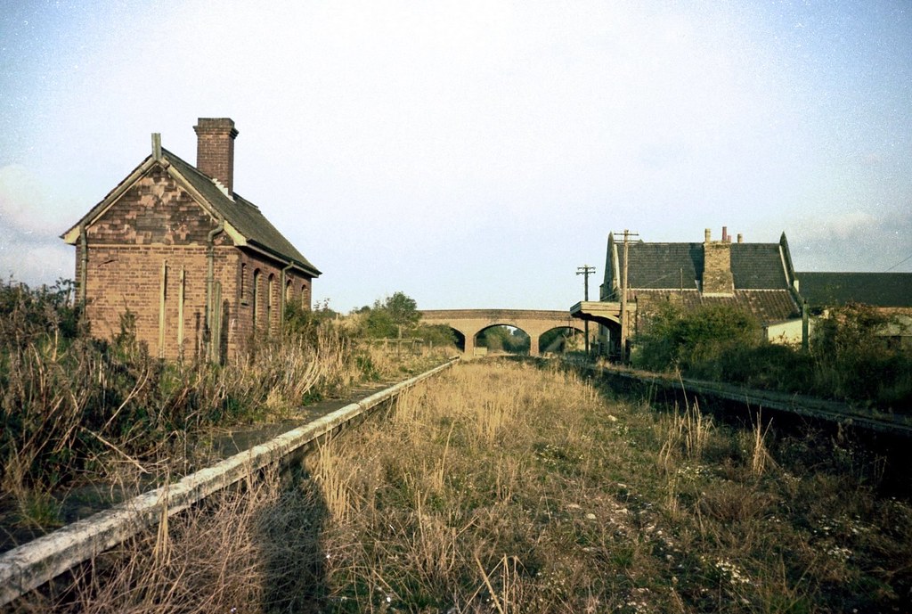
Dunham station 1975 (2)
Barford Landscape

Wymondham Abbey on the edge of town

I wish it would rain down, down on me
Skye Reflections 2
Beautiful evening

Is it a dream

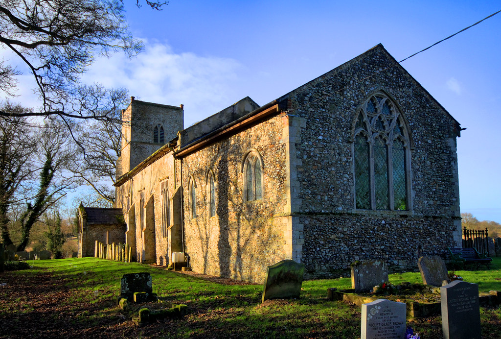
Breckles_Norfolk-St Margarets Church (3).jpg
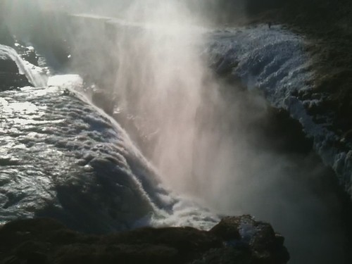
Gullfoss 1

mountains in the sky
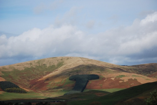
Clyde valley

Scarning Meadow...
Near Litcham
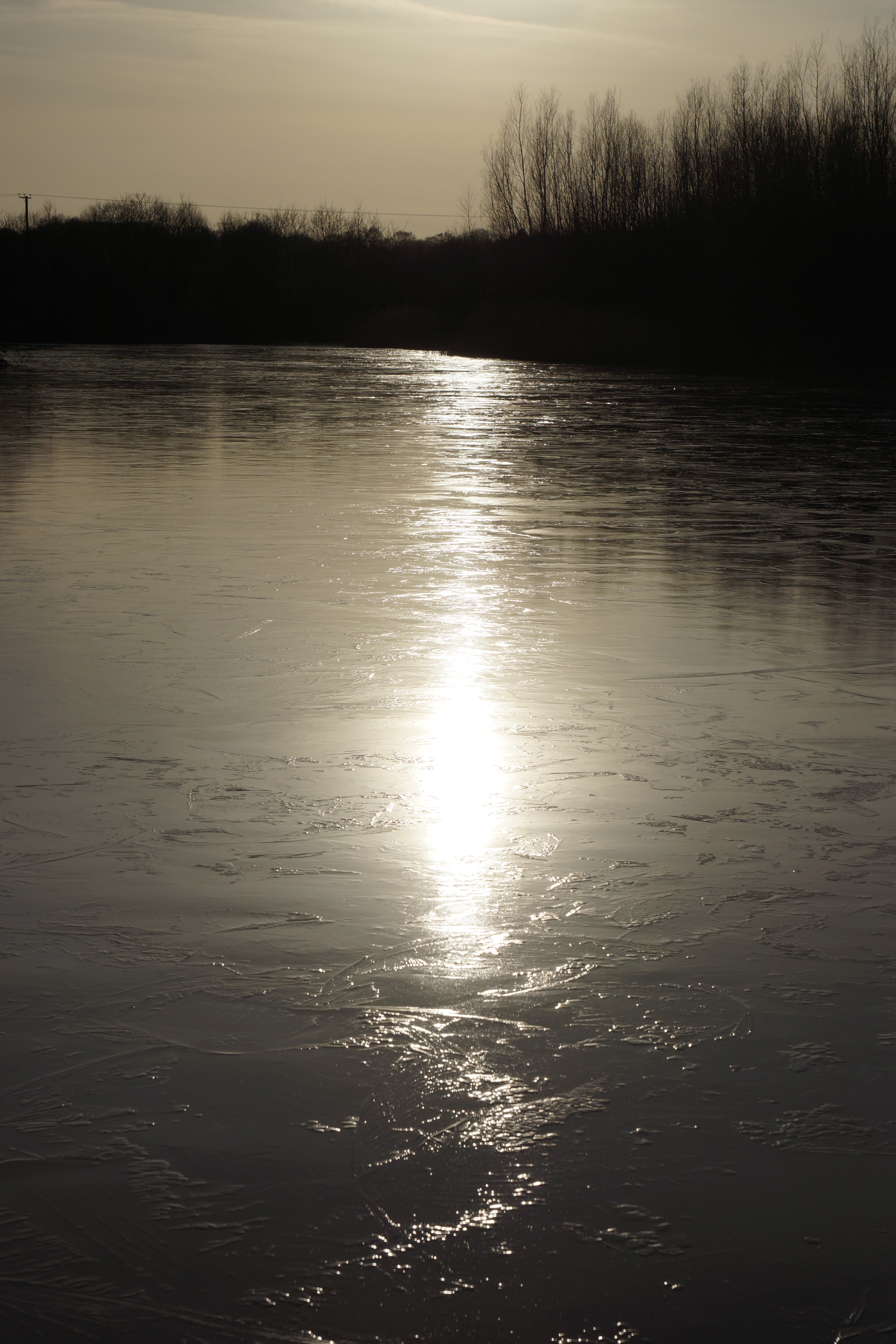
Brrrrrr!
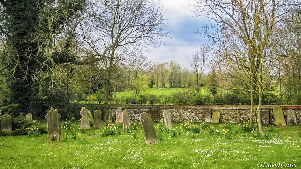
Graveyard at Wymonham Abbey (HFF)

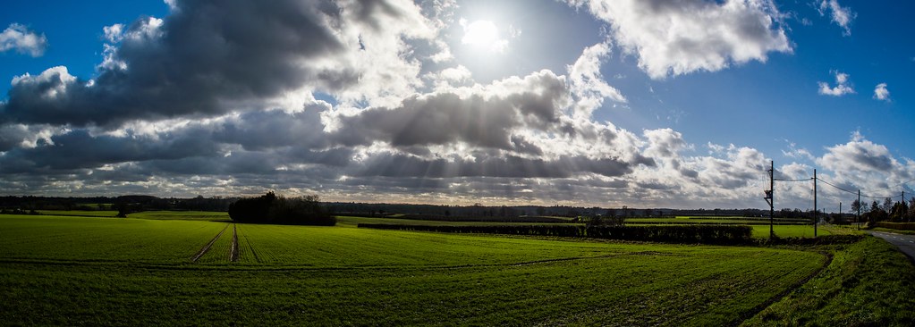
East Anglian sky
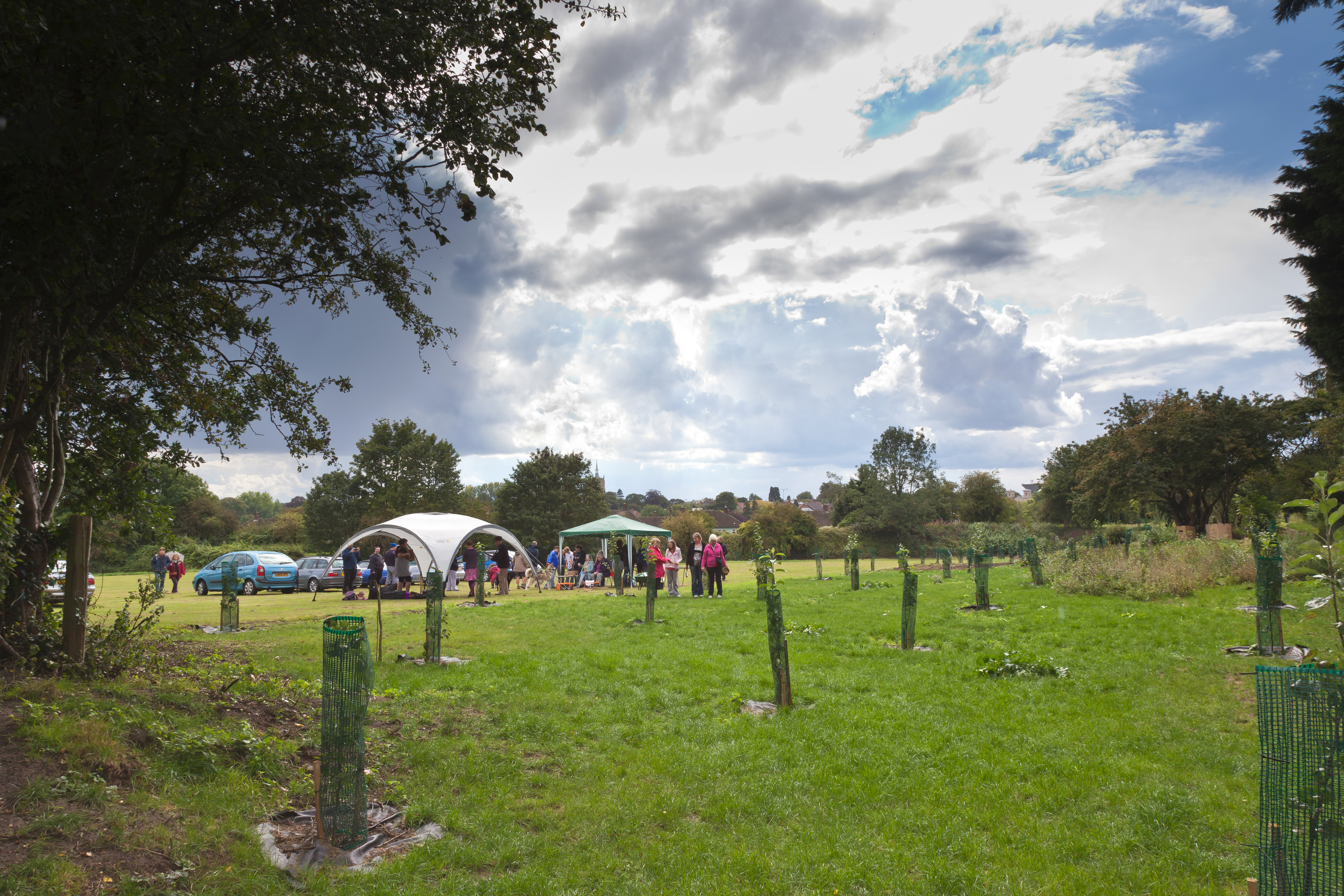
Swaffham Community Orchard
Near Talisker

Merton Hall
Topographic Map of Norfolk, UK
Find elevation by address:

Places in Norfolk, UK:
Norwich
North Norfolk District
King's Lynn And West Norfolk District
Happisburgh
Docking
Holt
Winterton-on-sea
Grimston
Marsham
Catfield
Tasburgh
Stanhoe
Dersingham
Hemsby
Reedham
Buckenham
Briston
Attleborough
Swaffham
Felbrigg
Long Stratton
Ranworth
Terrington Saint Clement
Fersfield
Clenchwarton
Hethel
Foulsham
Fring
Warham
Bradwell
Wiggenhall Saint Mary The Virgin
Shernborne
Cranwich
Colton
Hunstanton
Lundy Green
Great Yarmouth
Skeyton
Blickling
Snettisham
East Harling
Fordham
Testerton
Ludham
Mulbarton
Poringland
South Norfolk District
Metton
Keepers Cottage
4 Yarmouth Rd, North Walsham NR28 9LU, UK
Marsh Rd, King's Lynn PE30 3QJ, UK
5 Park Gates, Blickling, Norwich NR11 6NJ, UK
1 Drury Square, Beeston, King's Lynn PE32 2NA, UK
Manor Hotel
15 Panton Cl, King's Lynn PE30 5NB, UK
4 Orchard Gardens, Field Ln, King's Lynn PE30 4AX, UK
70 Snettisham Beach, King's Lynn PE31 7PS, UK
Ip25 6qu
Nr11 8rq
Stoke Holy Cross
Fakenham
Thetford
Sporle With Palgrave
Dereham
North Walsham
Diss
Wymondham
Aylsham
Costessey
Gorleston-on-sea
Acle
Reepham
Castle Acre
Downham Market
Oxborough
Pe33 9ps
Pe30 3lp
Bagthorpe
Heacham
Thurne
Ingham
Blofield
Salters Lode
Upwell
Sheringham
Church Lane
Carleton St. Peter
Wreningham
Nr13 4dn
Nr13 4hr
Bidewell Close
Bidewell Close
Bidewell Close
Bidewell Close
Welney
Surlingham Wood
Fair Green
Nr25 6bj
Geldeston
Gillingham
Places near Norfolk, UK:
Watton
48 Merton Rd
Dereham
Park Road
3 Cecil Rd
Nr19 2qg
46 Cemetery Rd
Ip25 6qu
Gressenhall
Nr20 4ee
Sandy Lane
Bittering Street
1 Drury Square, Beeston, King's Lynn PE32 2NA, UK
Pe32 2eq
Pe32 2qg
Pe32 2qq
Hargham Rd, Attleborough NR17 1BA, UK
Welborne
Attleborough
Sporle
Recent Searches:
- Elevation of Corso Fratelli Cairoli, 35, Macerata MC, Italy
- Elevation of Tallevast Rd, Sarasota, FL, USA
- Elevation of 4th St E, Sonoma, CA, USA
- Elevation of Black Hollow Rd, Pennsdale, PA, USA
- Elevation of Oakland Ave, Williamsport, PA, USA
- Elevation of Pedrógão Grande, Portugal
- Elevation of Klee Dr, Martinsburg, WV, USA
- Elevation of Via Roma, Pieranica CR, Italy
- Elevation of Tavkvetili Mountain, Georgia
- Elevation of Hartfords Bluff Cir, Mt Pleasant, SC, USA