Elevation of Summit Road, Summit Rd, California, USA
Location: United States > California > Santa Cruz County > Watsonville >
Longitude: -121.78162
Latitude: 37.0571326
Elevation: 767m / 2516feet
Barometric Pressure: 92KPa
Elevation Map:
Satellite Map:
Related Photos:

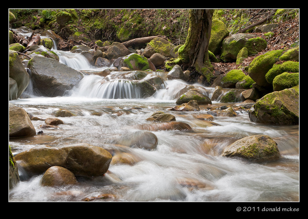
Uvas-Canyon_02

Super Highway
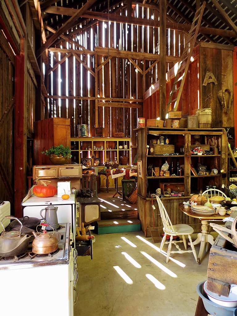
I love this barn!
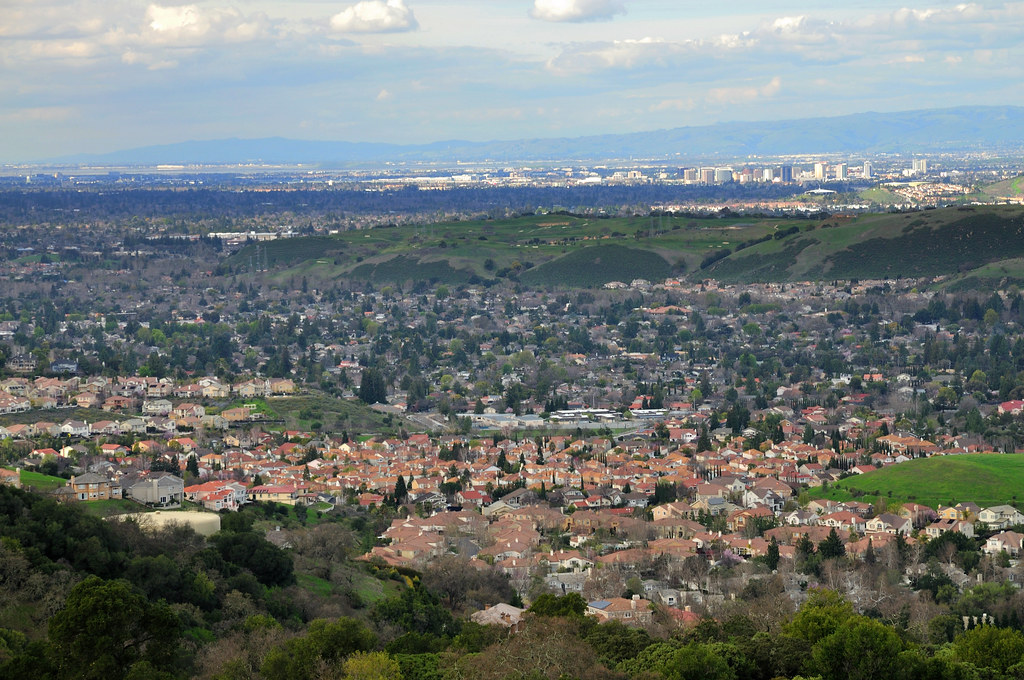
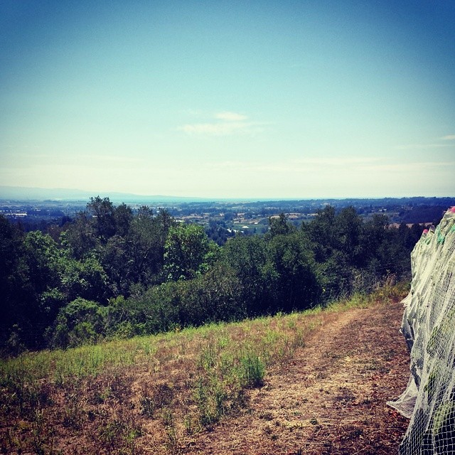
Silicon Valley
View of Monterey Bay
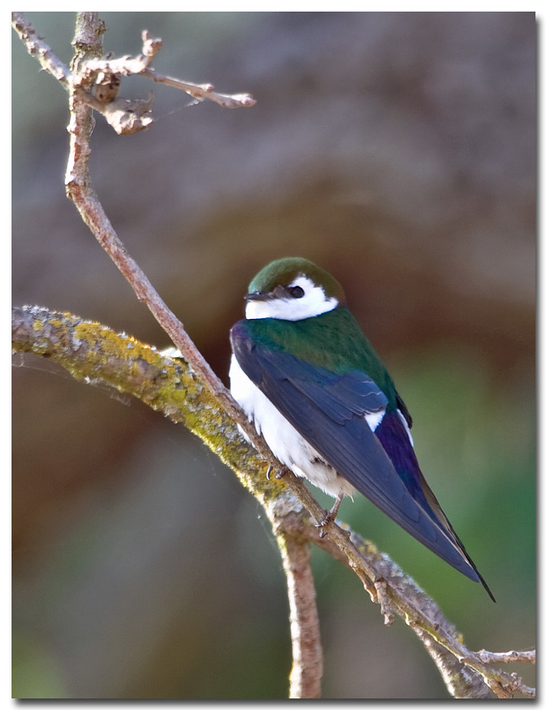
Violet-Green Swallow
UP HIGH
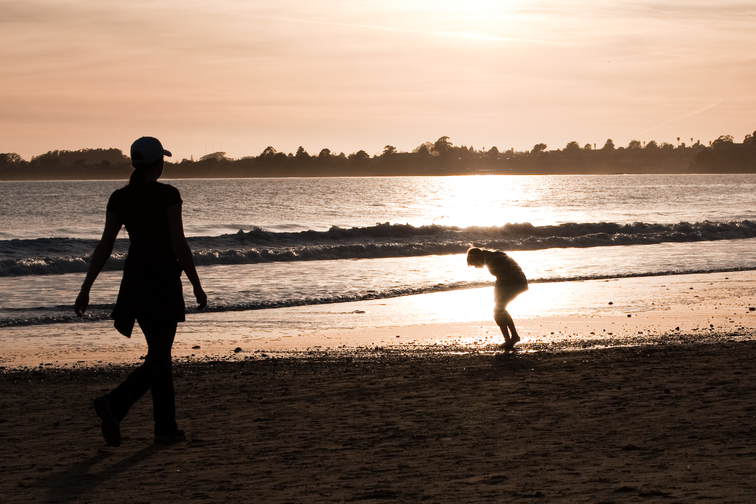
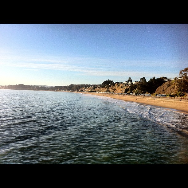
Aptos Beach Santa Cruz

Out to Pasture

Sierra Azul Garden View

Horned Wonder
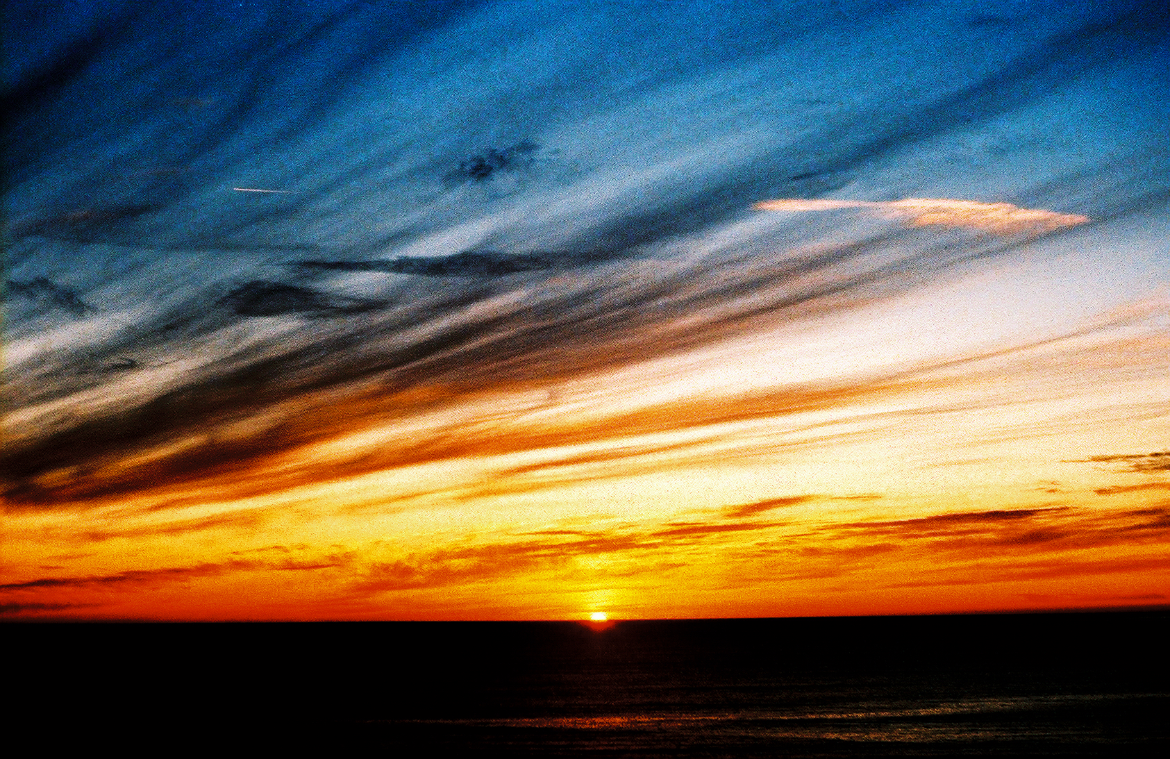
painted bay view sunset
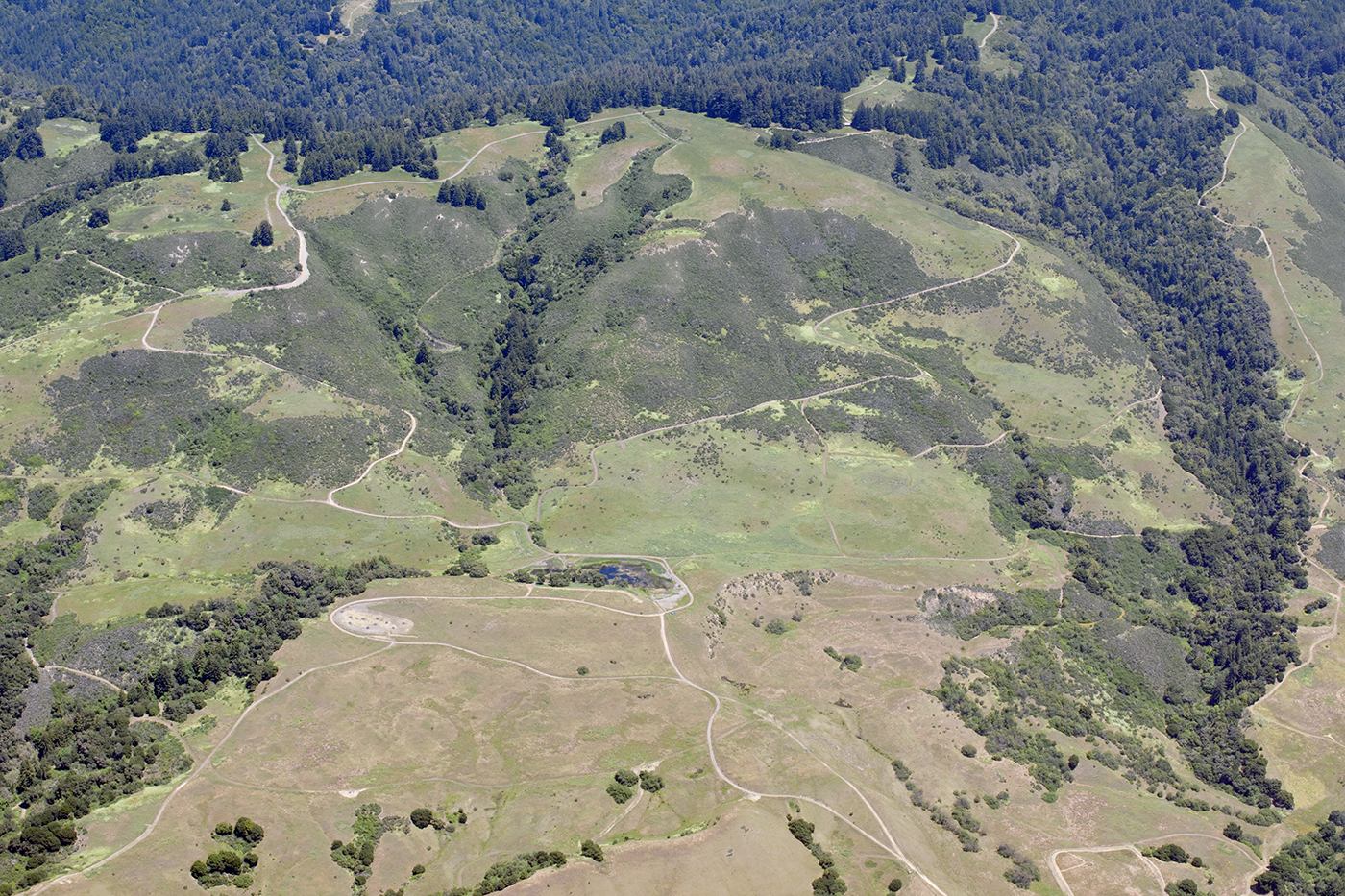
Aerial view of the San Andreas Fault, a sag pond, and a side-hill bench, Watsonville, Santa Cruz County, California
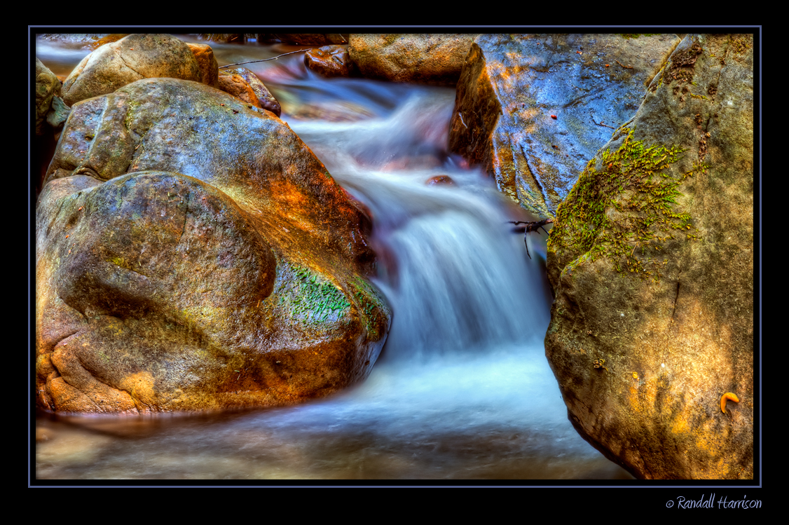
Uvas Canyon County Park, CA
In view of Pacific Grove #montereybay #windyoaks #summerpicnic
View south to Monterey
On Bald Mountain
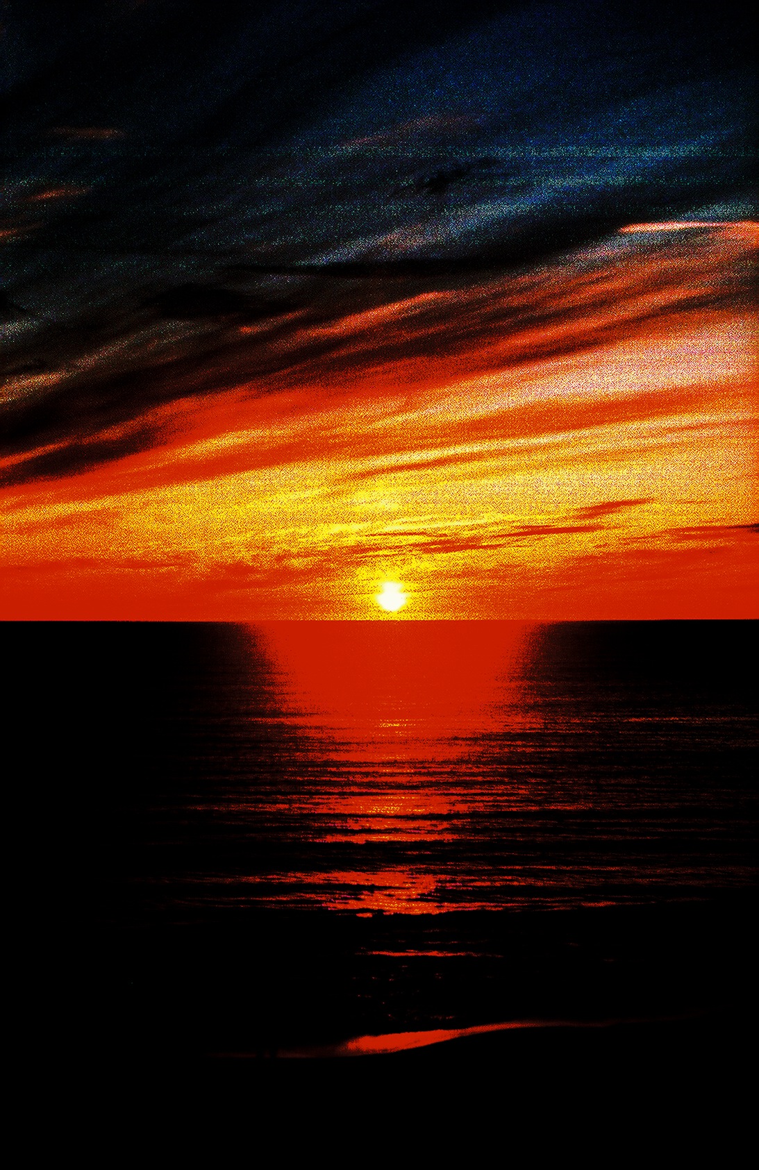
red bay view sunset
Seacliff beach

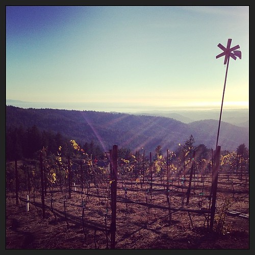
View from Summit
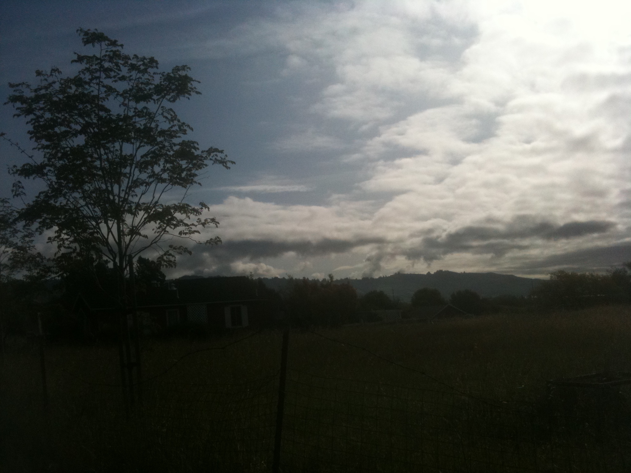
Morning Clouds

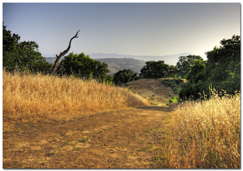
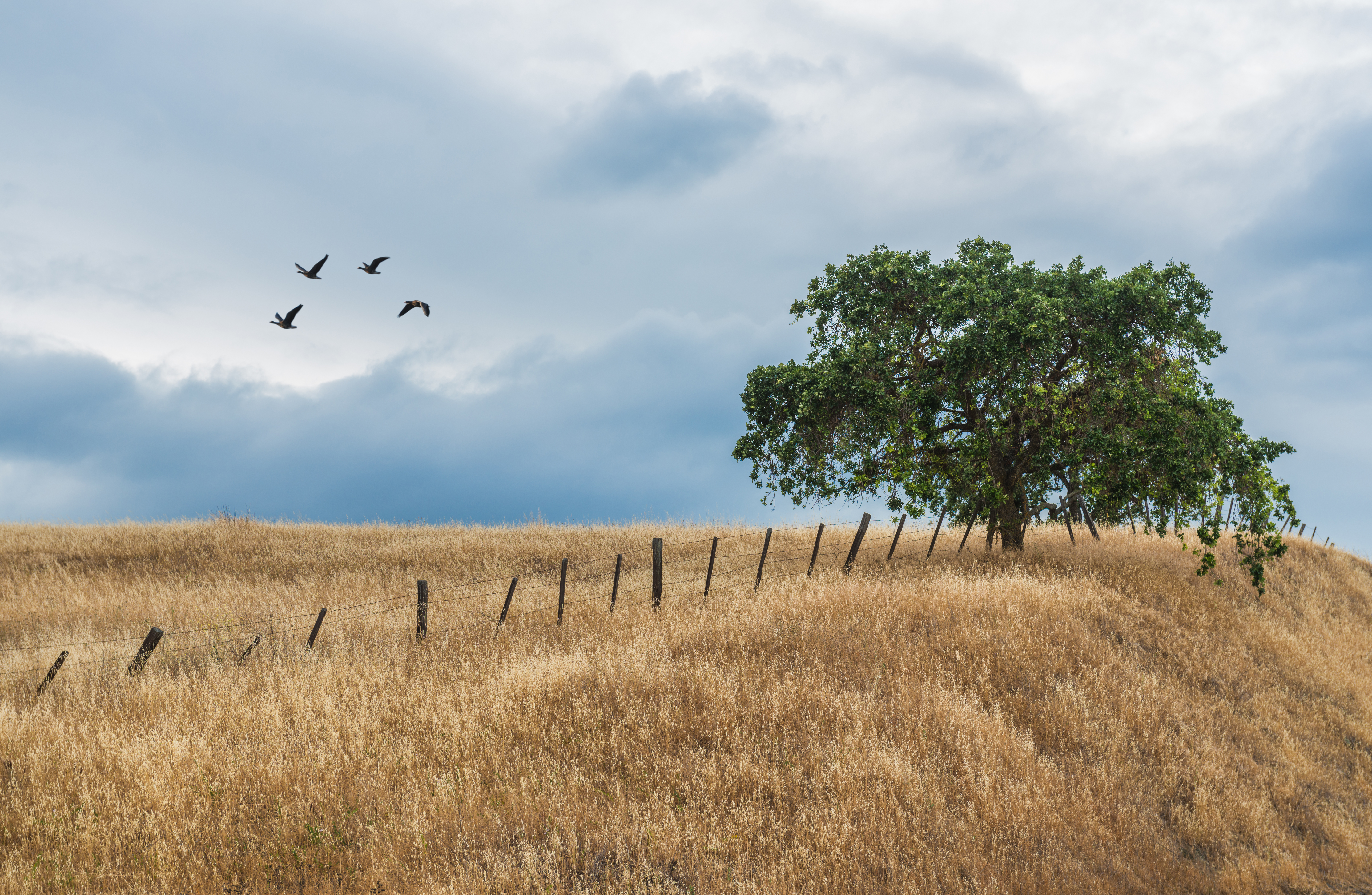
lone tree hill
The music in my dreams

Freedom is nothing but a chance to be better...

IMG_9177 - Version 2
20170226-DSCF4055
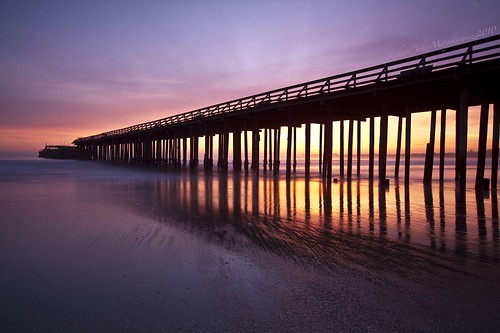
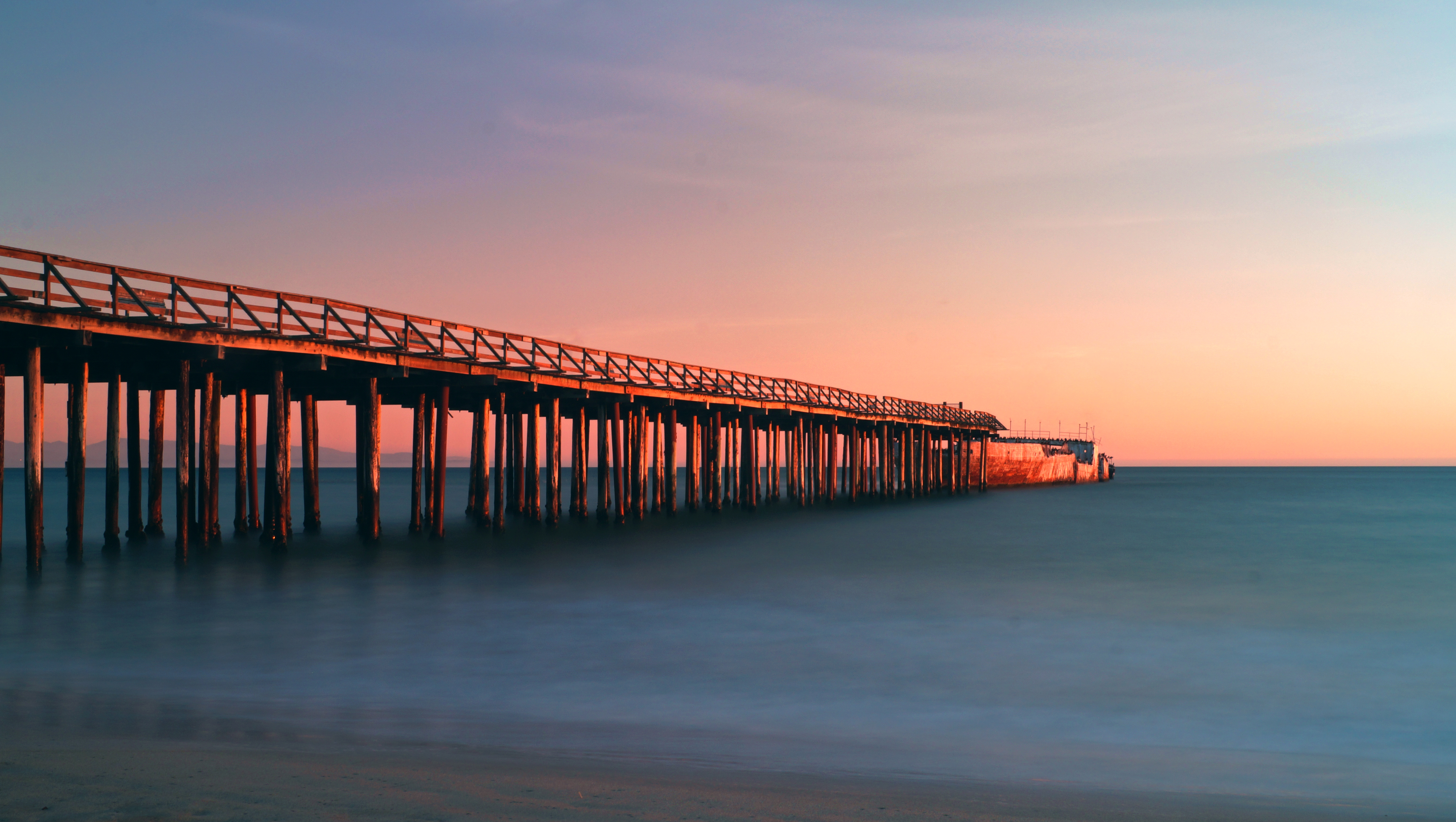
Aptos Pier - Aptos, California, USA

"Going through the motions" Yesterday, that's how I answered the question, "How are you doing?" It was a true Monday, and I wasnt feeling it. Funny how a phrase can mean 2 totally opposite things. Going through the motions tonight meant I got my butt ba
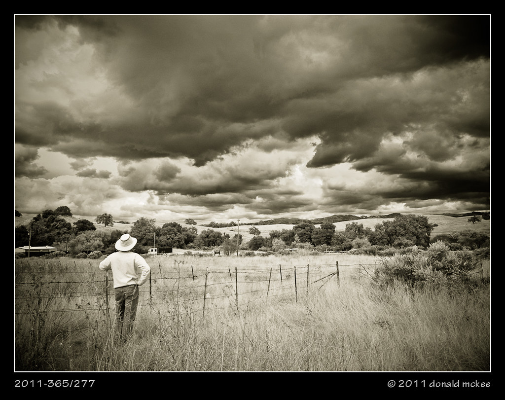
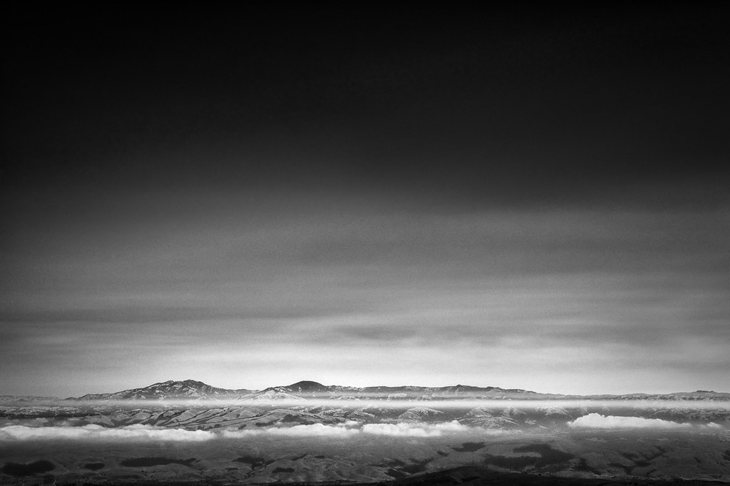
2011-365/277 - (Ma, a storm's a brewin' on the) Horizon

Trunk of many colors

Seacliff Beach, Aptos, CA #aptosca #seacliffbeach #sunset #montereybay #california #californialight
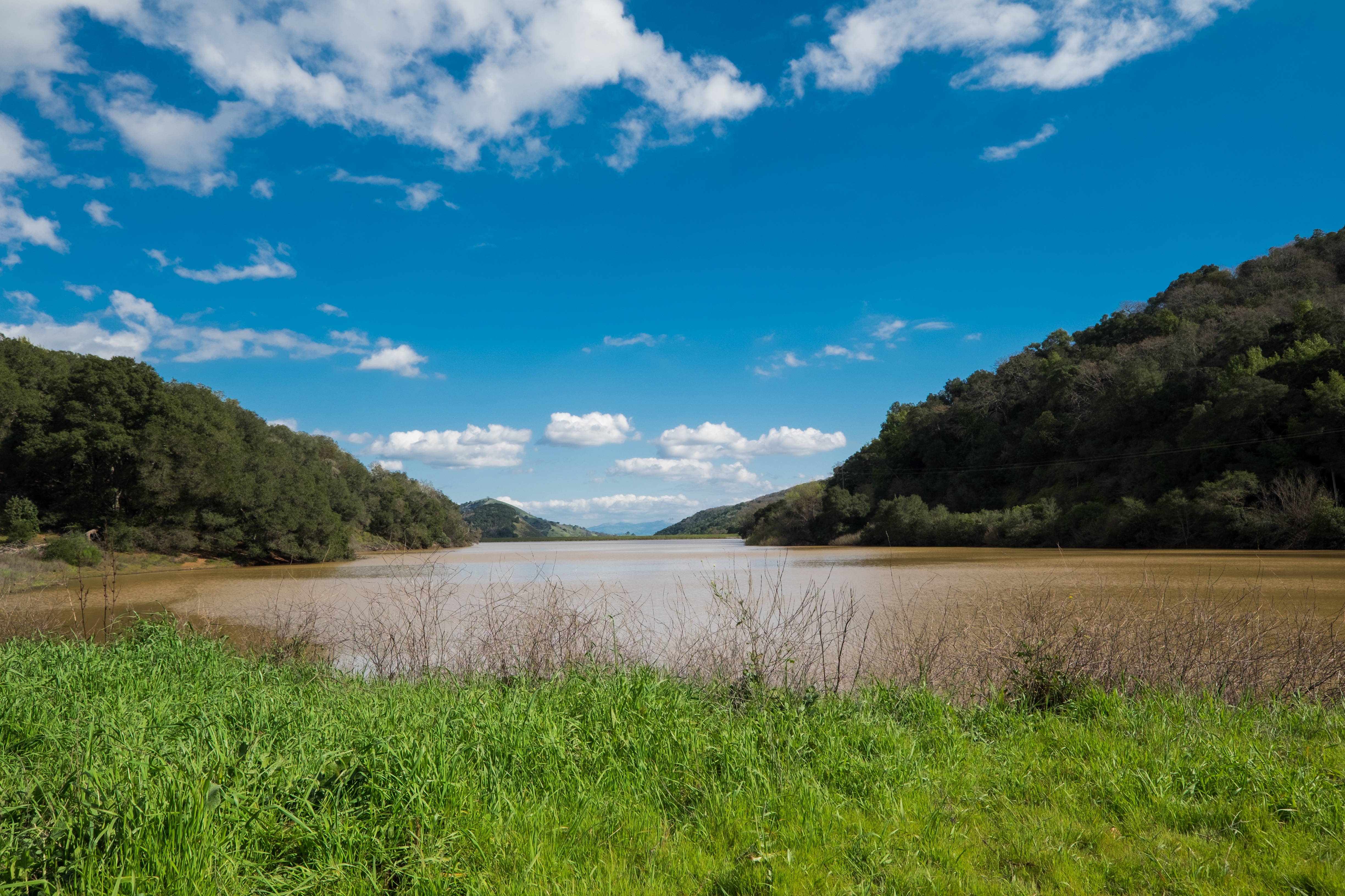
Uvas-Water_02
I love spring...

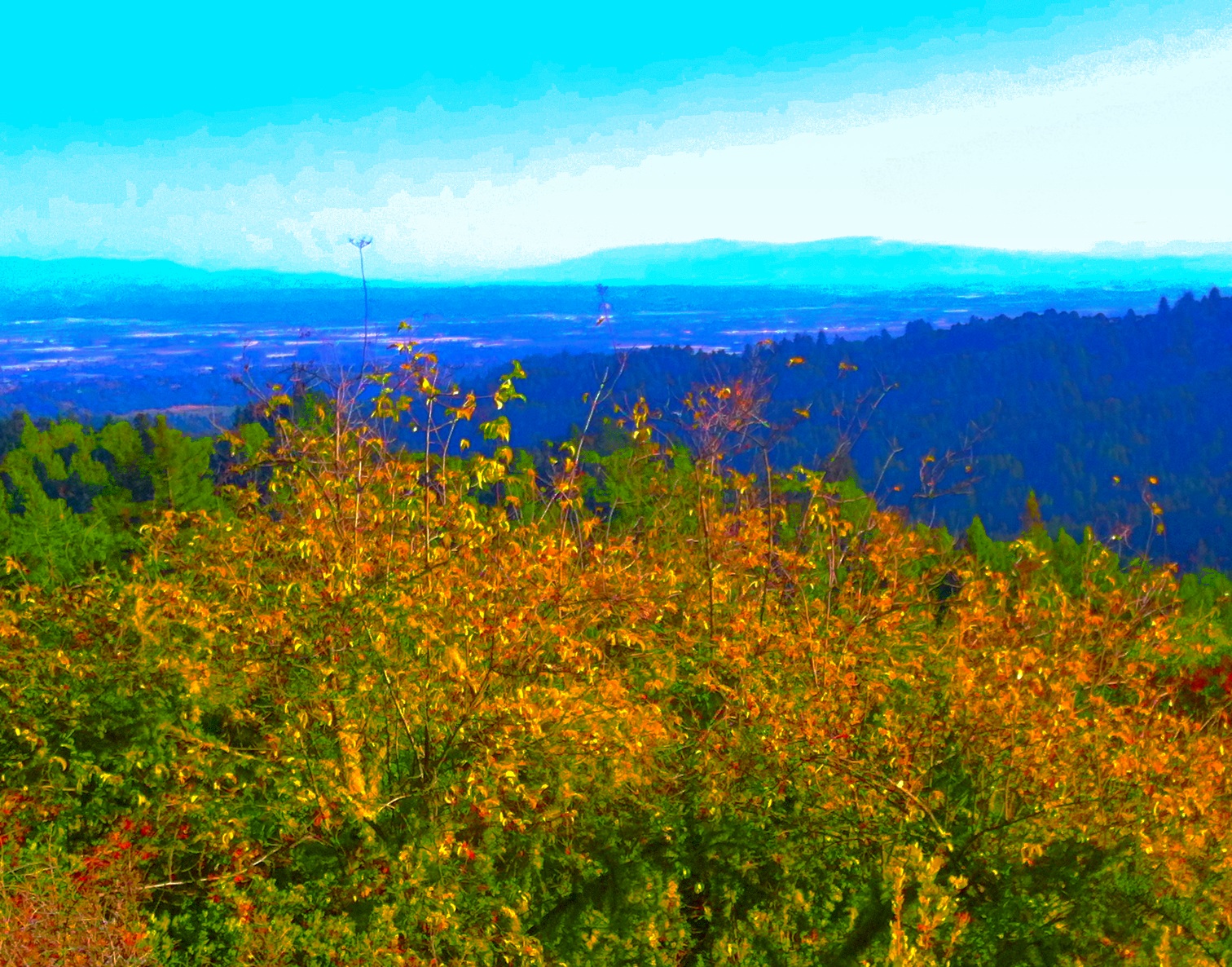
Spring in Southern Santa Clara County. What is green will be golden soon.
A moment in the woods from last weekend.
Amid Mossy Trees
DSC_3678.JPG
I'm getting horrible weather this trip.

Two Trees
breaking skies
Near Uvas Canyon, Overcast
Black Thistle - 2012
Topographic Map of Summit Road, Summit Rd, California, USA
Find elevation by address:

Places near Summit Road, Summit Rd, California, USA:
Summit Road
357 Summit Rd
Croy Rd, Morgan Hill, CA, USA
2013 Eureka Canyon Rd
8060 Croy Rd
460 Dove Ln
Summit Rd, Watsonville, CA, USA
Eureka Canyon Rd, Watsonville, CA, USA
980 Travers Ln
Apple Valley Lane
Meadowridge Road
26 Browns Valley Rd, Corralitos, CA, USA
Corralitos
Bates Ranch | Janaca Vineyards
Columbine Way, Aptos, CA, USA
325 Quail Run
Mt Madonna County Park
Day Valley
Potter Rd, Aptos, CA, USA
17 Karen Dr
Recent Searches:
- Elevation of 3 Nestling Wood Dr, Long Valley, NJ, USA
- Elevation of Ilungu, Tanzania
- Elevation of Yellow Springs Road, Yellow Springs Rd, Chester Springs, PA, USA
- Elevation of Rēzekne Municipality, Latvia
- Elevation of Plikpūrmaļi, Vērēmi Parish, Rēzekne Municipality, LV-, Latvia
- Elevation of 2 Henschke Ct, Caboolture QLD, Australia
- Elevation of Redondo Ave, Long Beach, CA, USA
- Elevation of Sadovaya Ulitsa, 20, Rezh, Sverdlovskaya oblast', Russia
- Elevation of Ulitsa Kalinina, 79, Rezh, Sverdlovskaya oblast', Russia
- Elevation of 72-31 Metropolitan Ave, Middle Village, NY, USA