Elevation of Summit Rd, Watsonville, CA, USA
Location: United States > California > Santa Cruz County > Watsonville >
Longitude: -121.76475
Latitude: 37.0492927
Elevation: 739m / 2425feet
Barometric Pressure: 93KPa
Elevation Map:
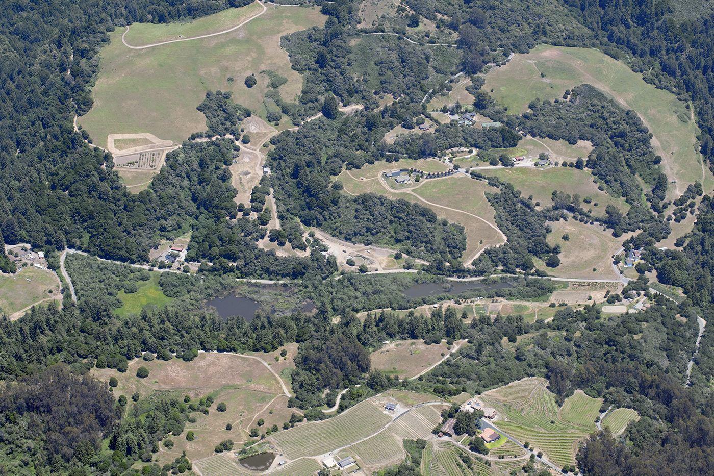
Satellite Map:
Related Photos:

Time will tell...

Super Highway
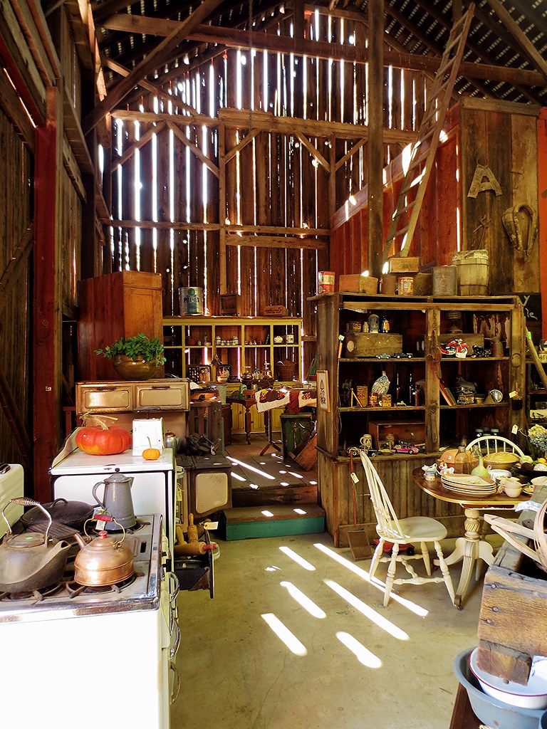
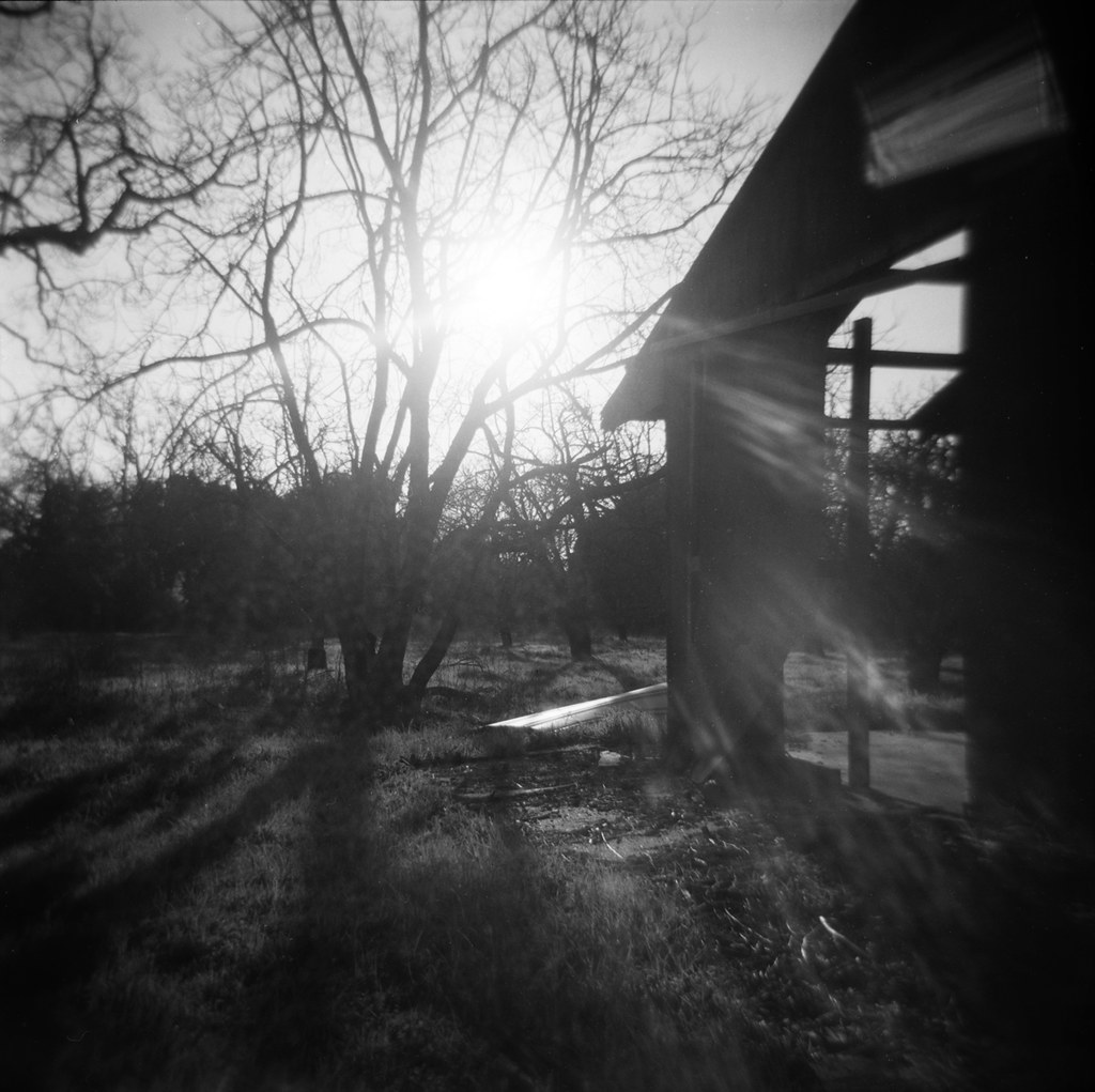
I love this barn!
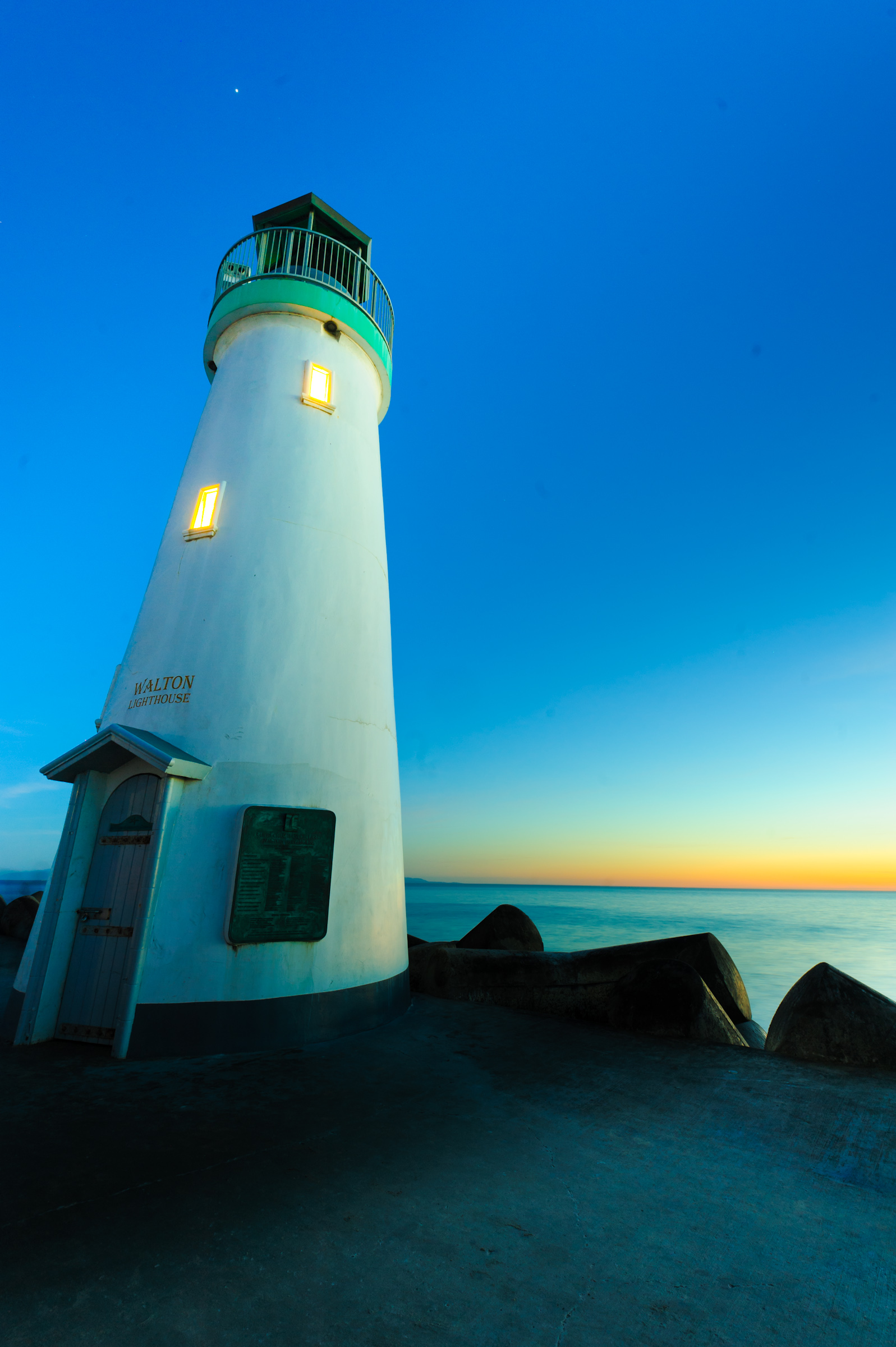
A house of light
View from the Hanuman Temple

Aerial view of Hazel Dell and the San Andreas Fault, Santa Cruz County, California
Aerial view of Hazel Dell, Simas Lake, and the San Andreas Fault, Santa Cruz County, California

Uvas-Canyon_02
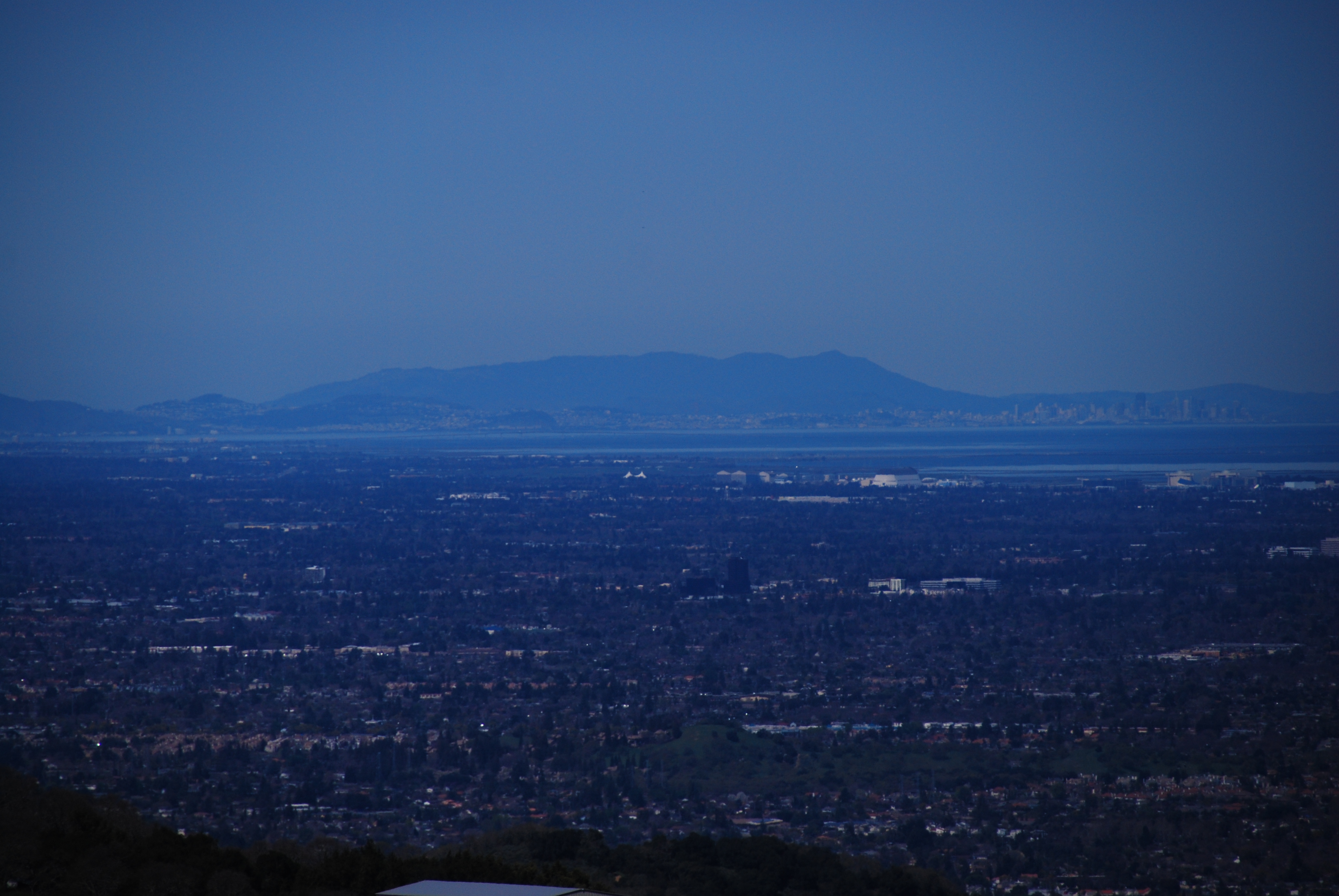
UP HIGH
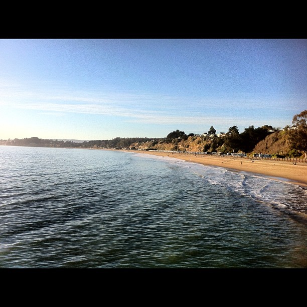
View of Monterey Bay
View from the beach house

Horned Wonder
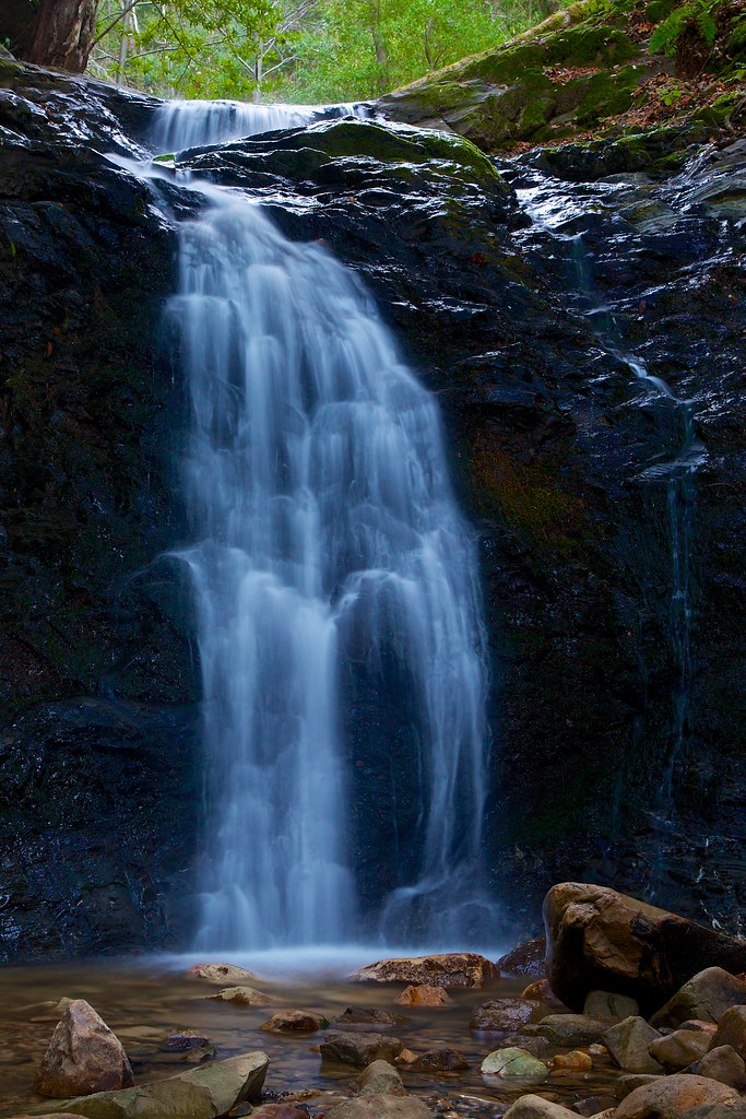
Uvas Canyon
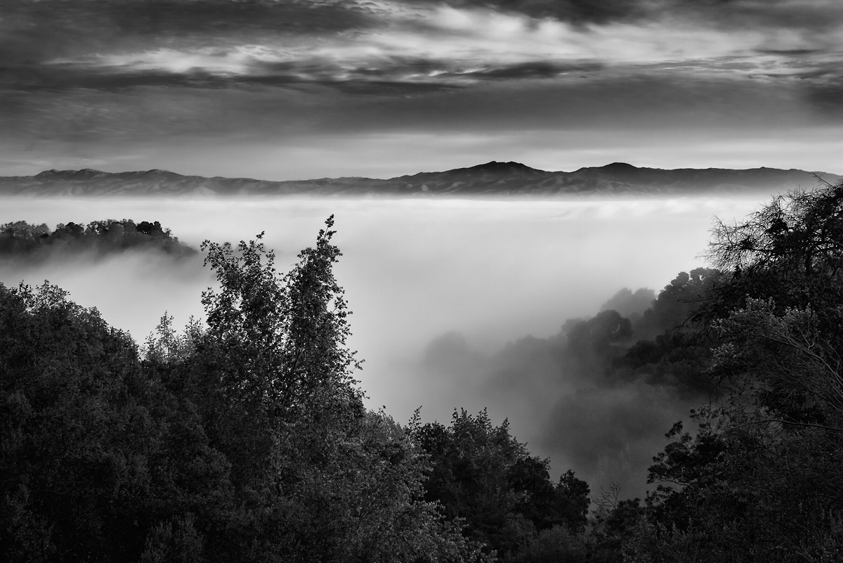
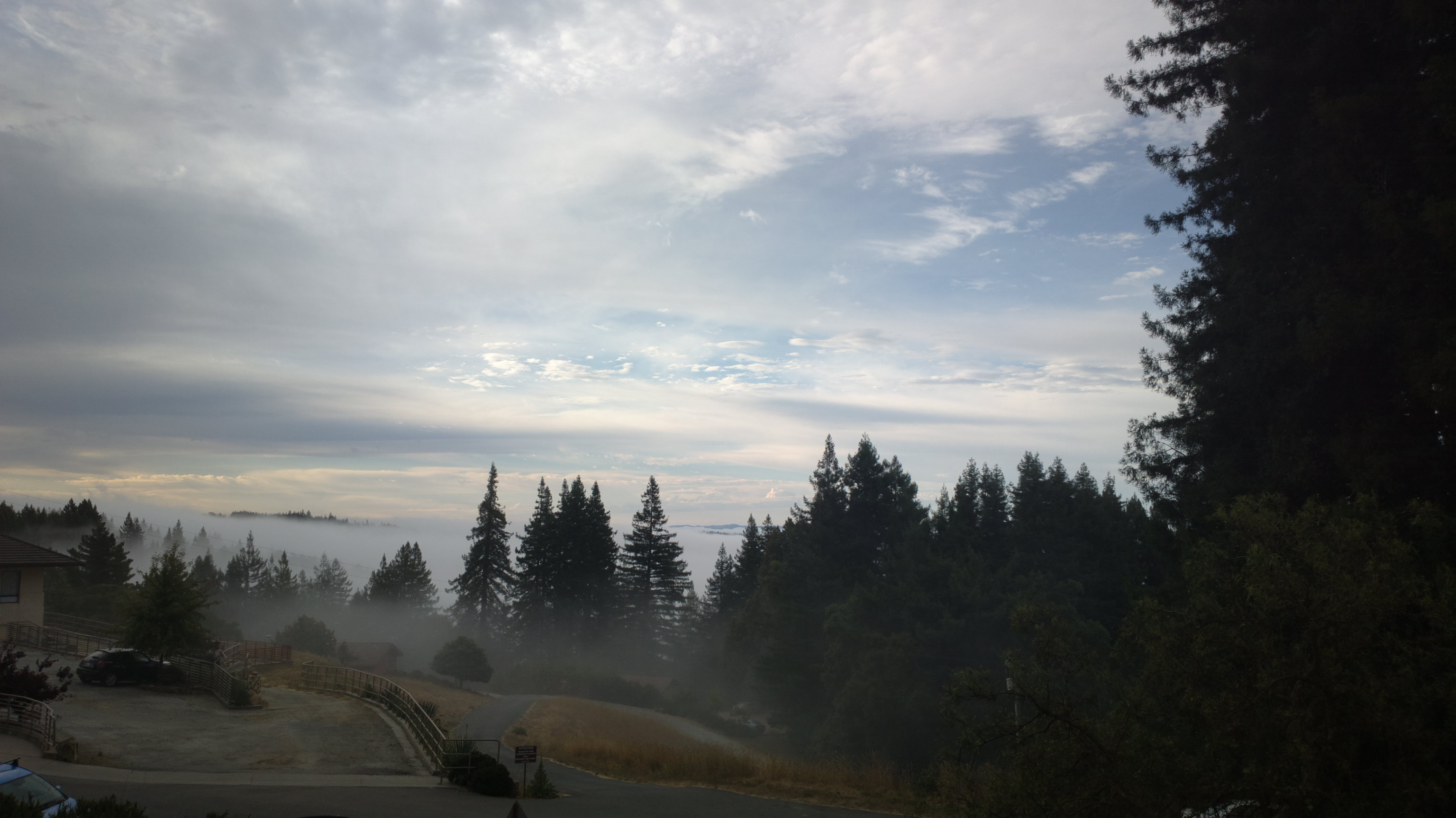
Fog over the Valley
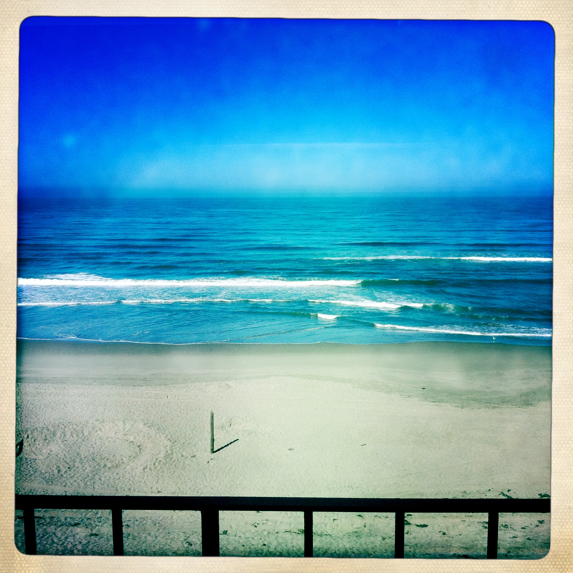
Condo view
Incredible Views
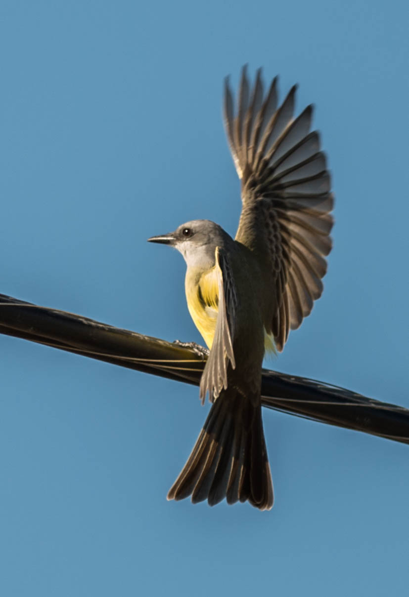
Tropical Kingbird (Tyrannus melancholicus)
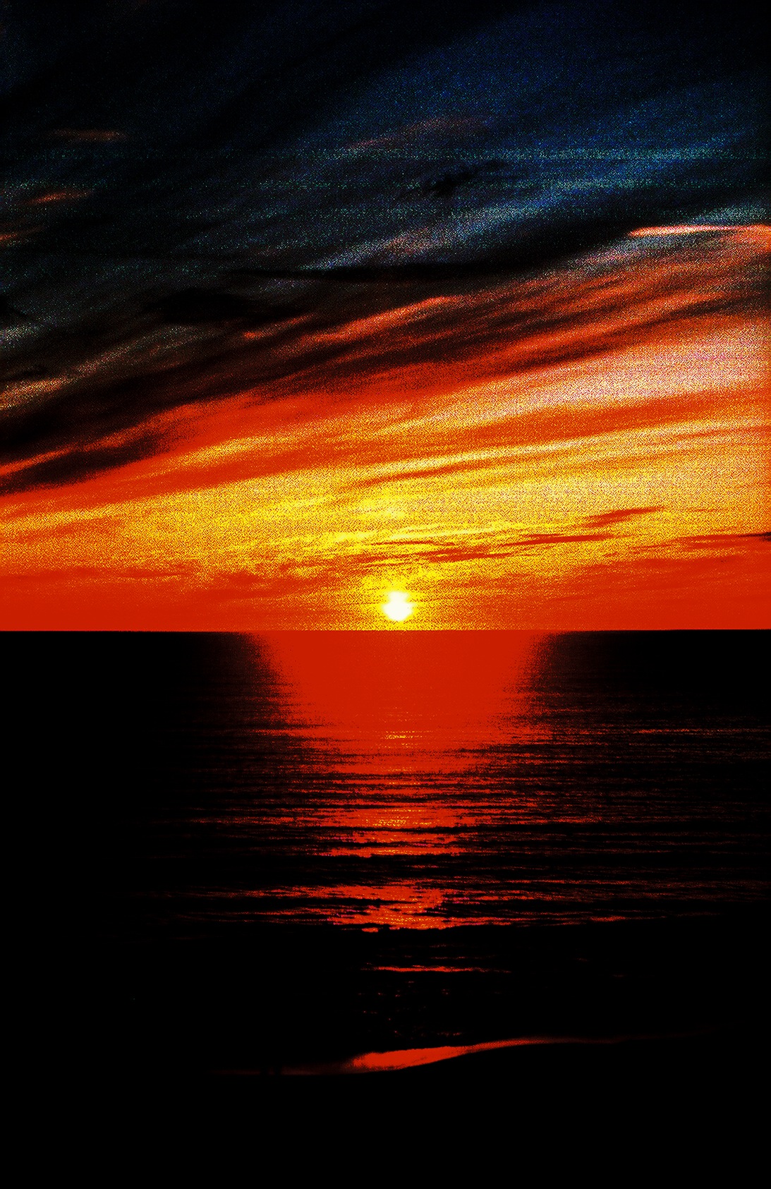
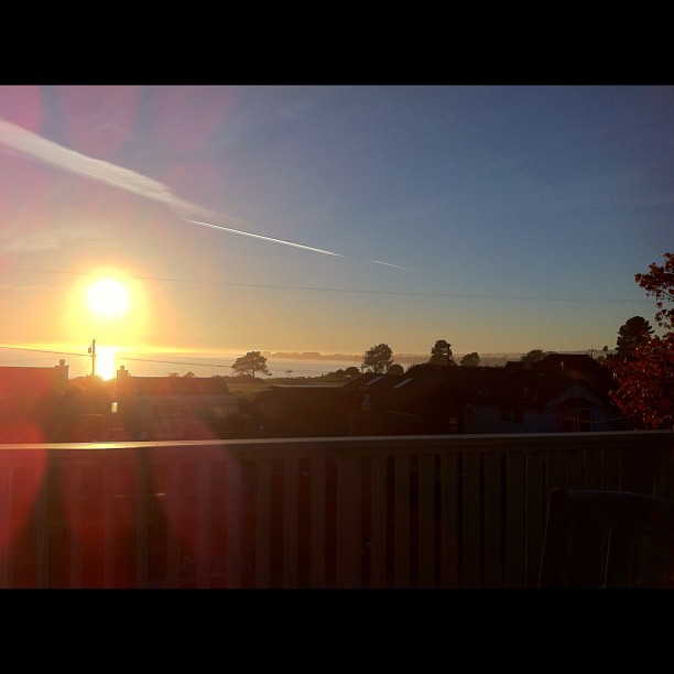
red bay view sunset
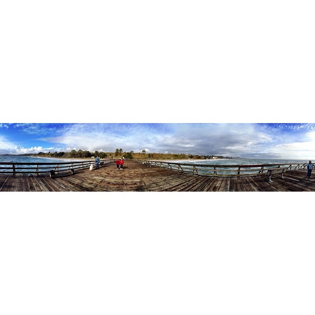
View from the #aptos wharf today after the rains #santacruz
In view of Pacific Grove #montereybay #windyoaks #summerpicnic
Incredible views
I'm getting horrible weather this trip.
The music in my dreams
I love spring...
Welcoming the rain
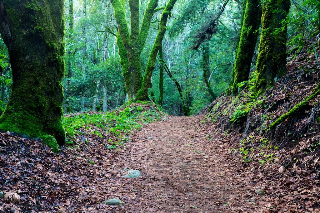
Amid Mossy Trees
Near Uvas Canyon, Overcast

Look for the silver lining.
Black Thistle - 2012

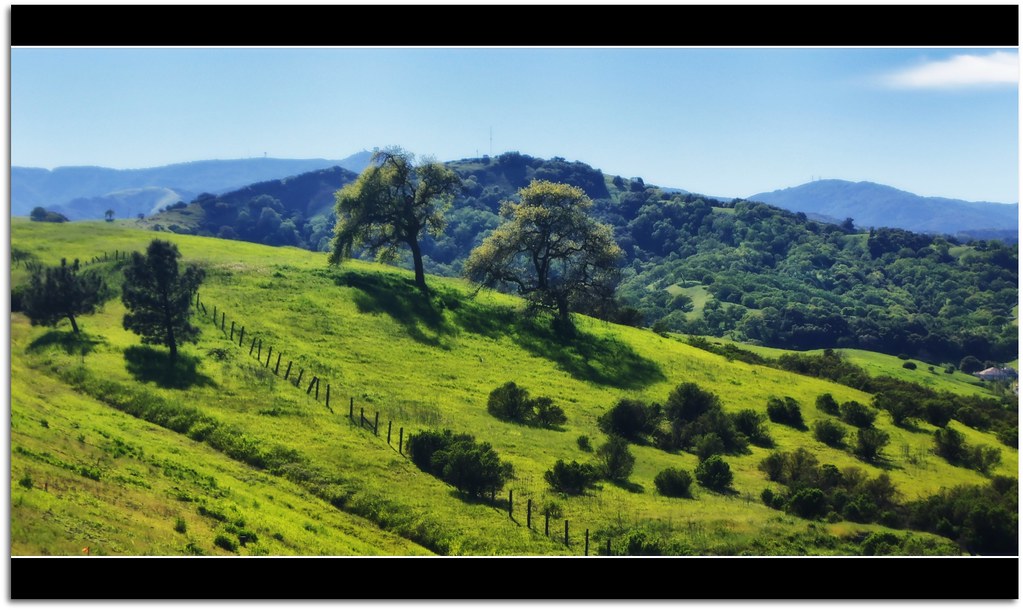
Spring in Southern Santa Clara County. What is green will be golden soon.

IMG_7539.JPG
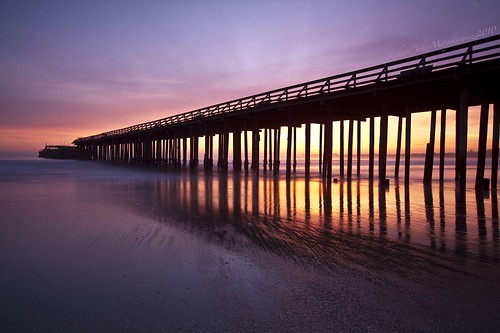
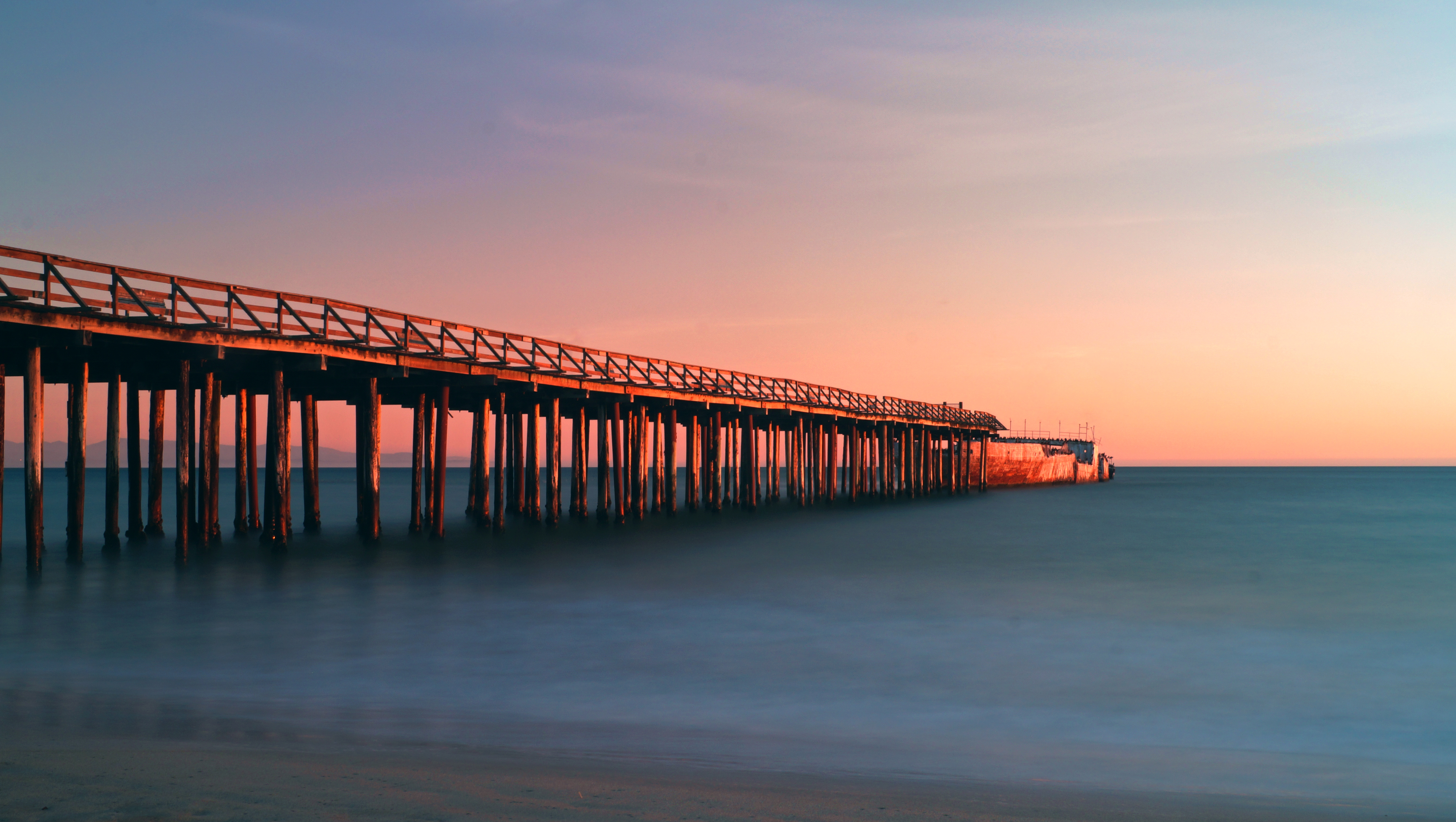
Aptos Pier - Aptos, California, USA
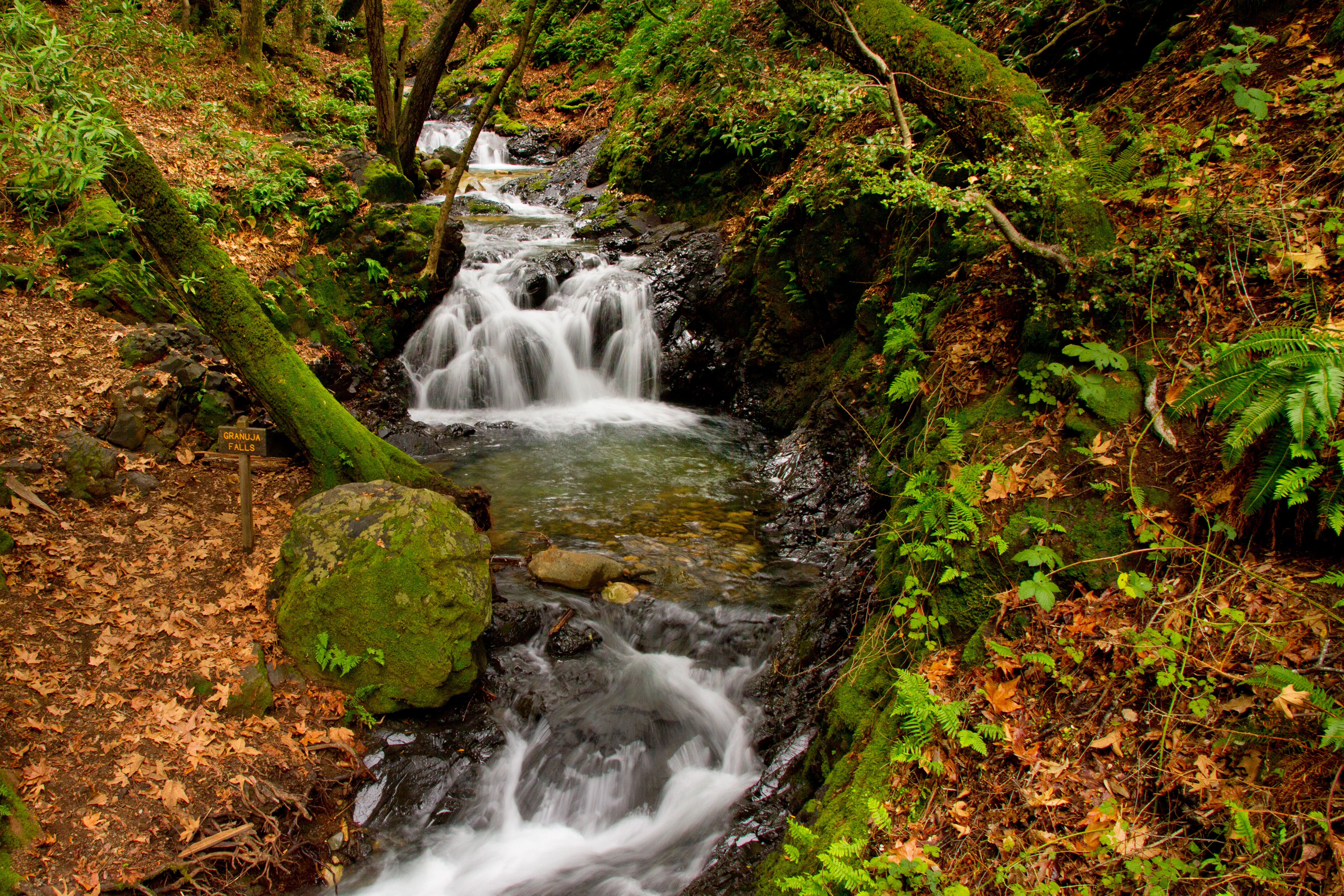
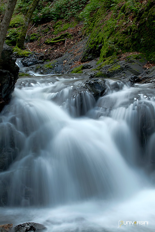
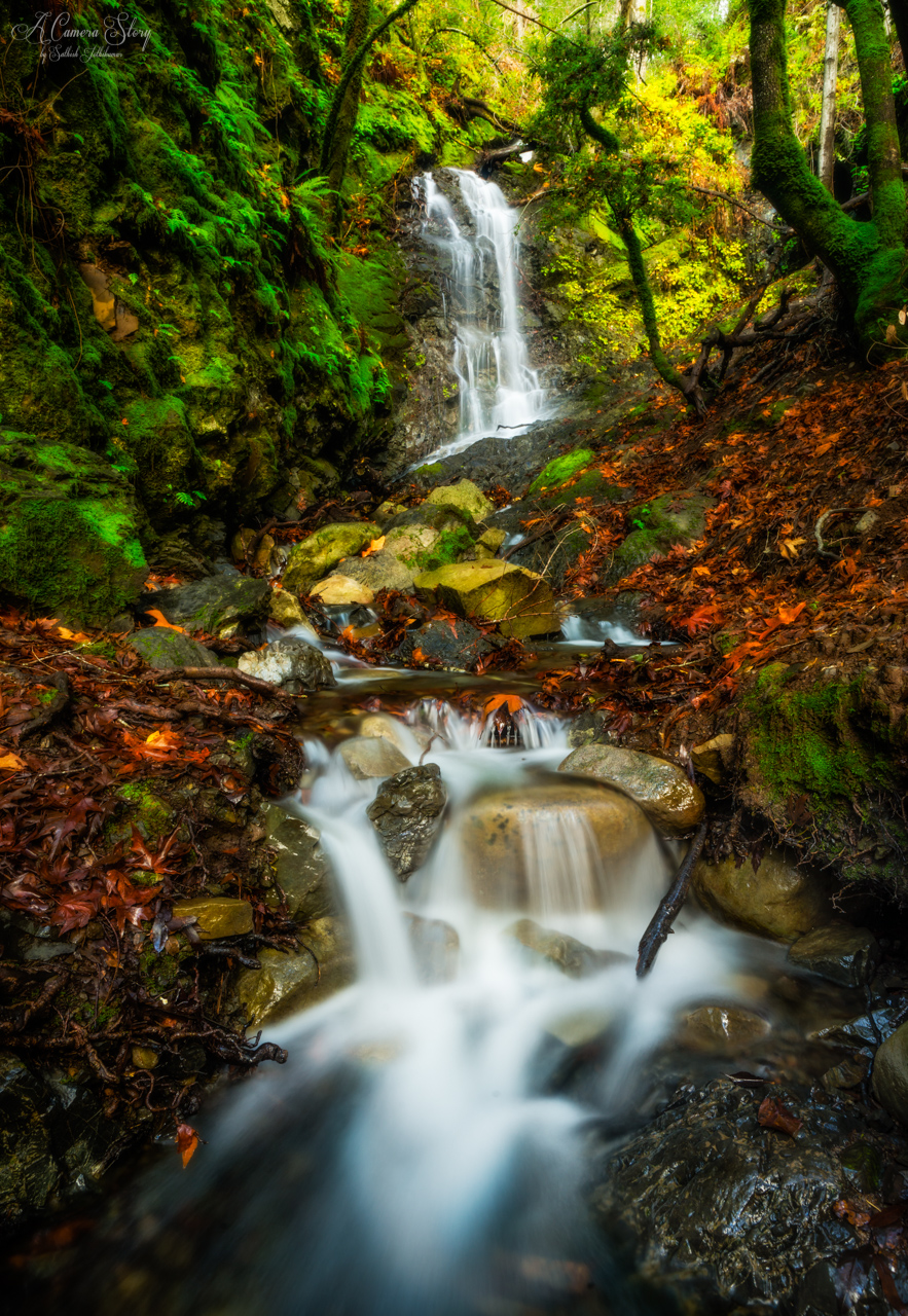
Granuja Falls located in Uvas Canyon. Morgan Hill, CA.
Black and Tan

Freedom is nothing but a chance to be better...

#gilroy for a quick minute
ask the questions that you don't know at all

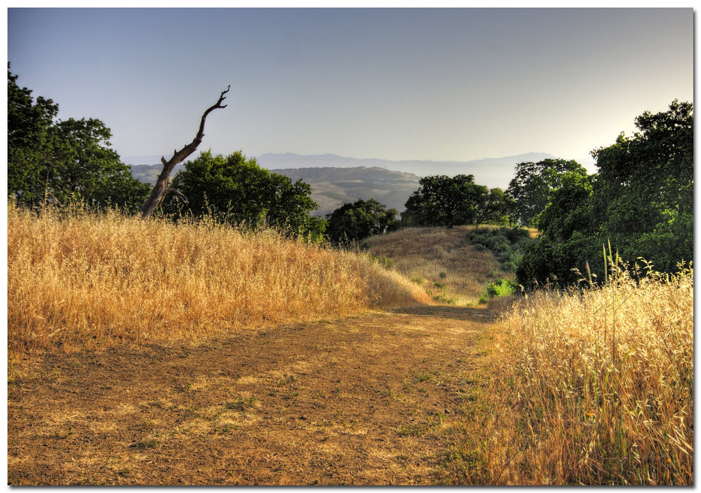
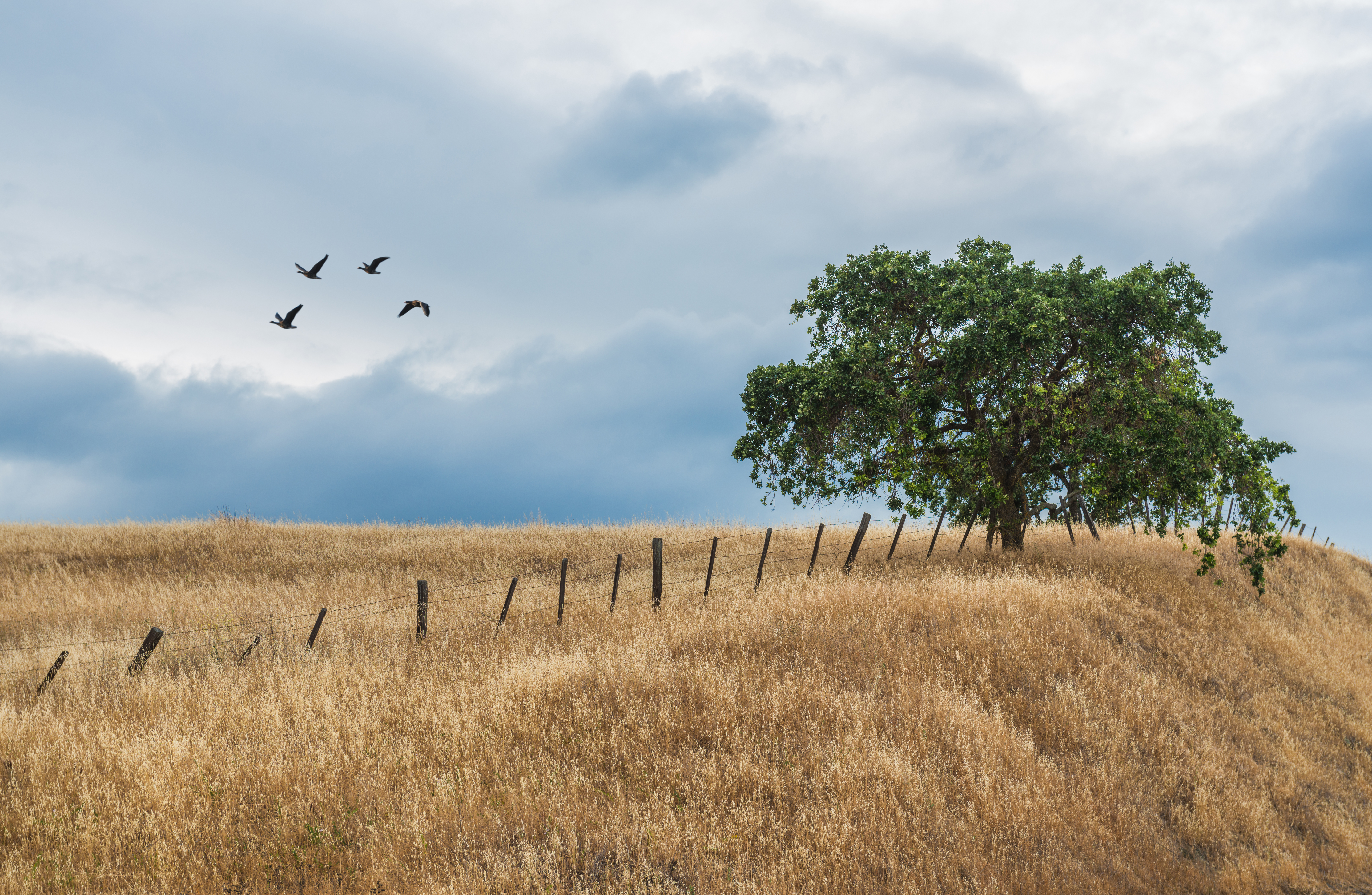
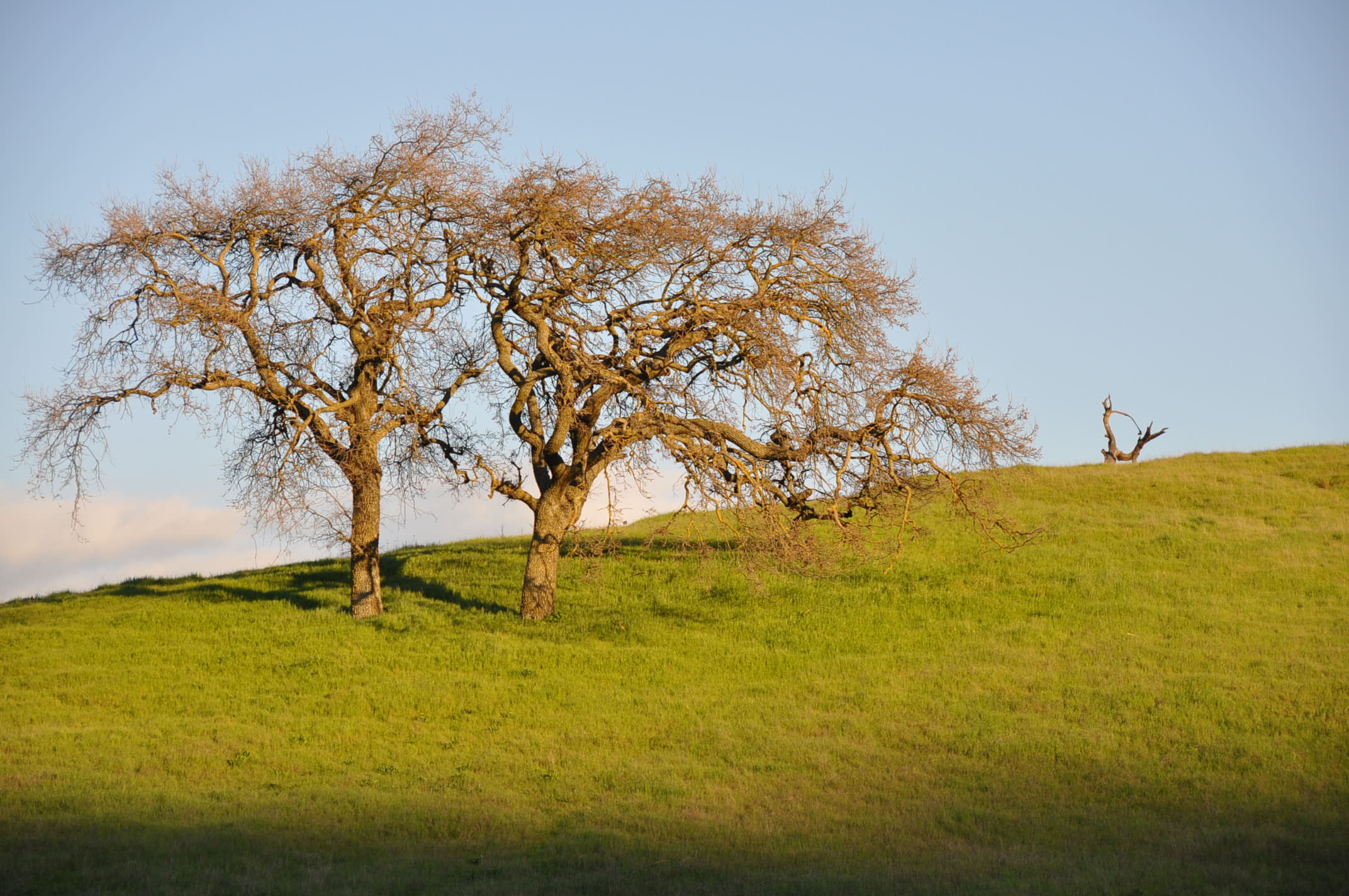
lone tree hill
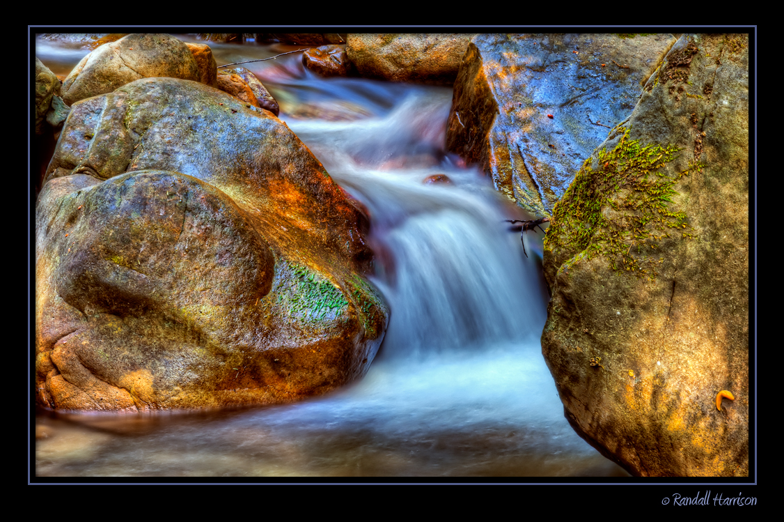
Uvas-Water_02

Uvas-Canyon_01
DSC_3678.JPG
Topographic Map of Summit Rd, Watsonville, CA, USA
Find elevation by address:

Places near Summit Rd, Watsonville, CA, USA:
Summit Road
Summit Road
Summit Rd, Watsonville, CA, USA
Apple Valley Lane
Croy Rd, Morgan Hill, CA, USA
980 Travers Ln
8060 Croy Rd
2013 Eureka Canyon Rd
Meadowridge Road
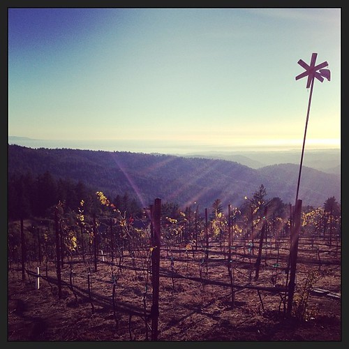
Bates Ranch | Janaca Vineyards
Eureka Canyon Rd, Watsonville, CA, USA
460 Dove Ln
Mt Madonna County Park
26 Browns Valley Rd, Corralitos, CA, USA
Corralitos
262 Gaffey Rd
Pacific View Terrace
Kliewer Ln, Watsonville, CA, USA
17 Karen Dr
Amesti Road
Recent Searches:
- Elevation of 3 Nestling Wood Dr, Long Valley, NJ, USA
- Elevation of Ilungu, Tanzania
- Elevation of Yellow Springs Road, Yellow Springs Rd, Chester Springs, PA, USA
- Elevation of Rēzekne Municipality, Latvia
- Elevation of Plikpūrmaļi, Vērēmi Parish, Rēzekne Municipality, LV-, Latvia
- Elevation of 2 Henschke Ct, Caboolture QLD, Australia
- Elevation of Redondo Ave, Long Beach, CA, USA
- Elevation of Sadovaya Ulitsa, 20, Rezh, Sverdlovskaya oblast', Russia
- Elevation of Ulitsa Kalinina, 79, Rezh, Sverdlovskaya oblast', Russia
- Elevation of 72-31 Metropolitan Ave, Middle Village, NY, USA