Elevation of Summit Lake Road, Summit Lake Rd, Big Bend, CA, USA
Location: United States > California > Shasta County > Big Bend >
Longitude: -121.86197
Latitude: 41.0510575
Elevation: 793m / 2602feet
Barometric Pressure: 92KPa
Elevation Map:
Satellite Map:
Related Photos:
my view every night

_8200176.NEF
PCT from iPhone

Mining Diatomaceous Earth

Diatomite Mine
Big Diatomite Mine
Big Pile of Diatomaceous Earth

Diatomite Mine
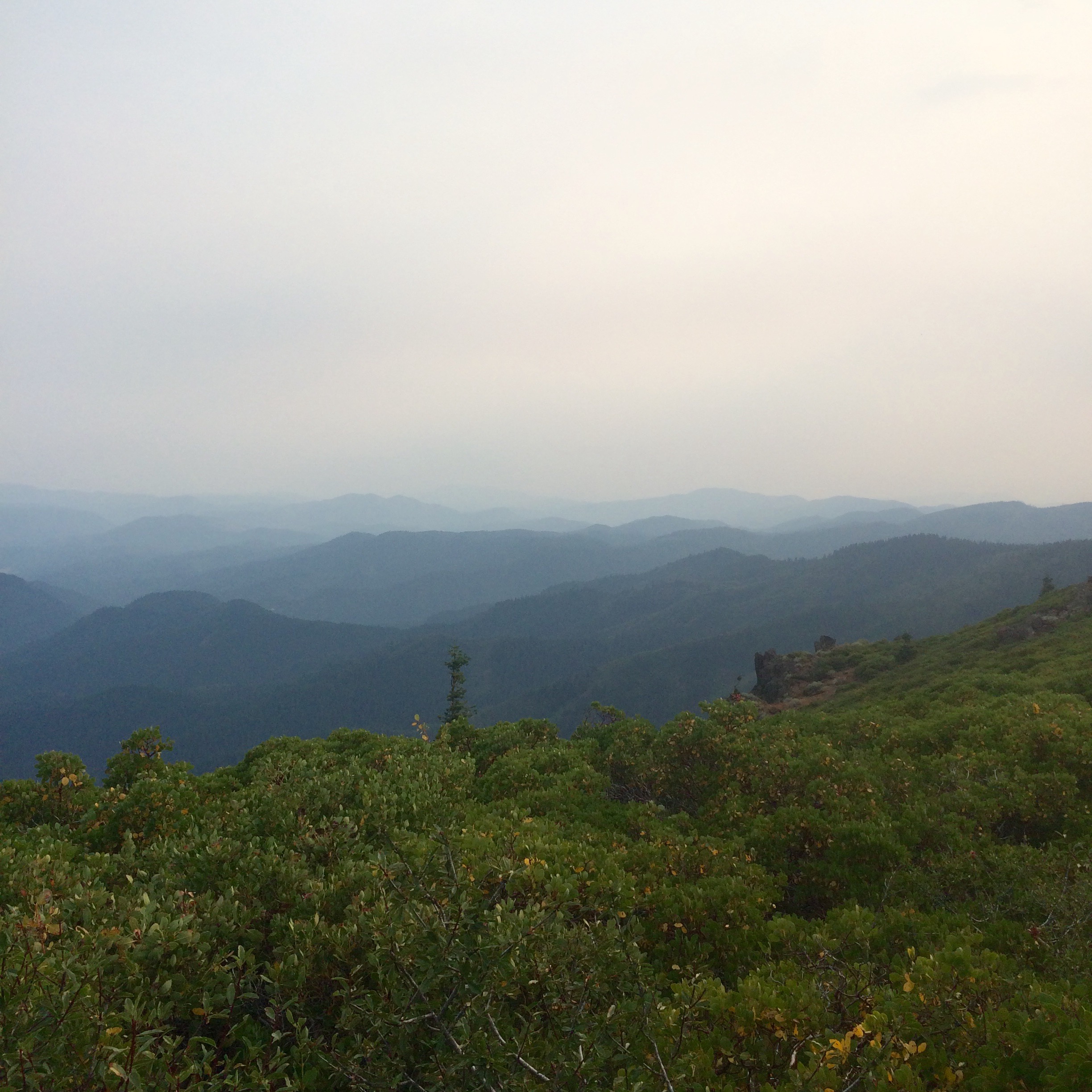
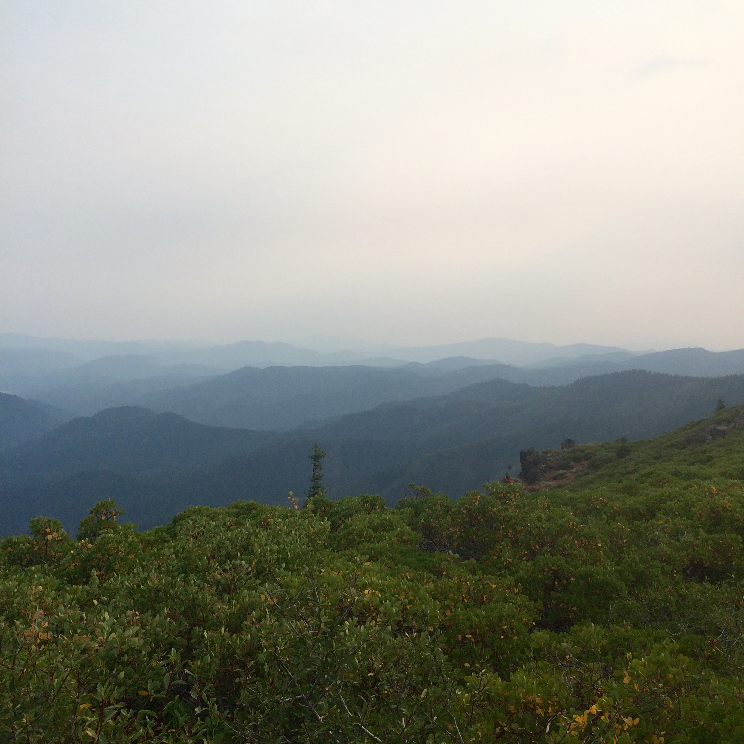
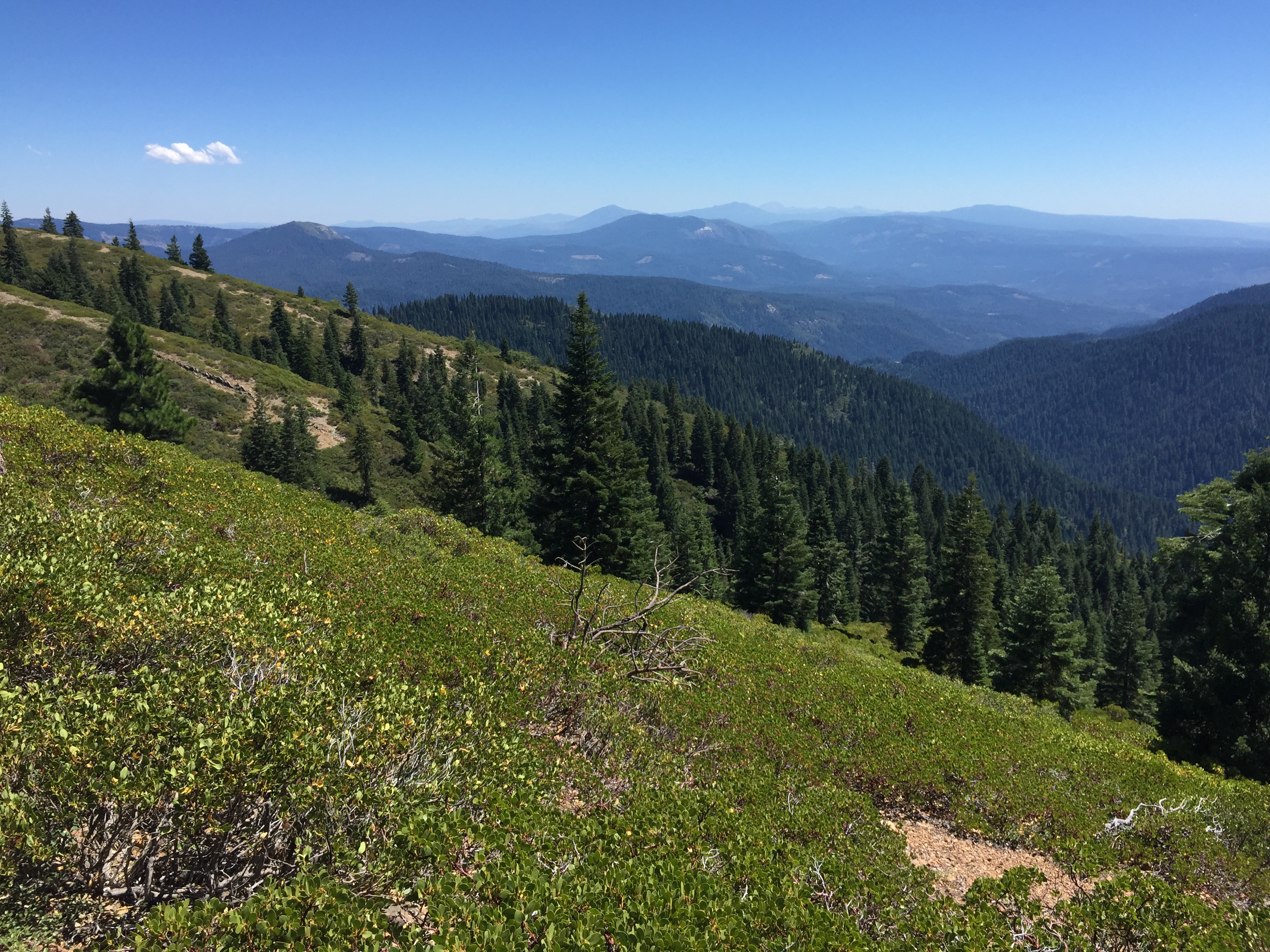
PCT from iPhone
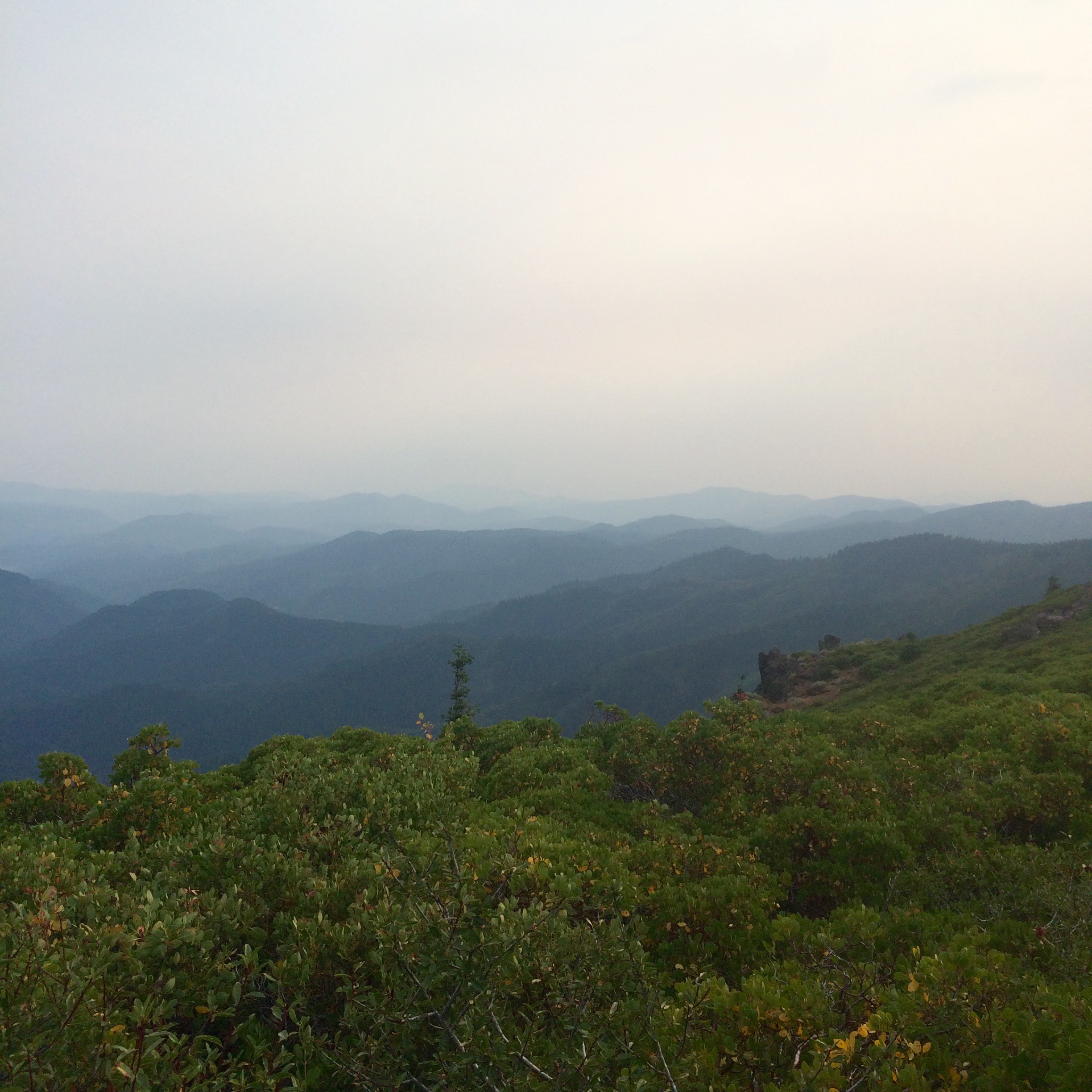
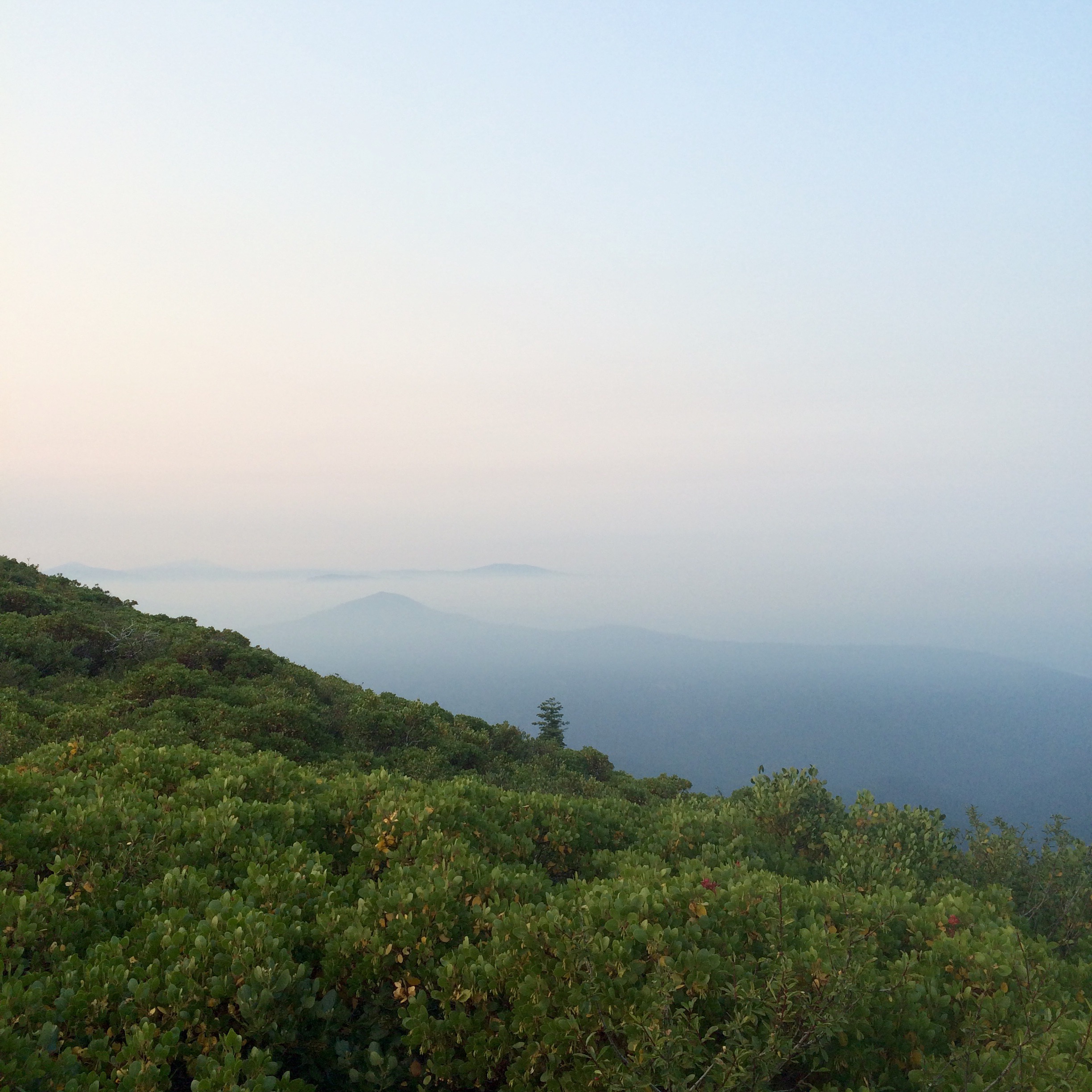
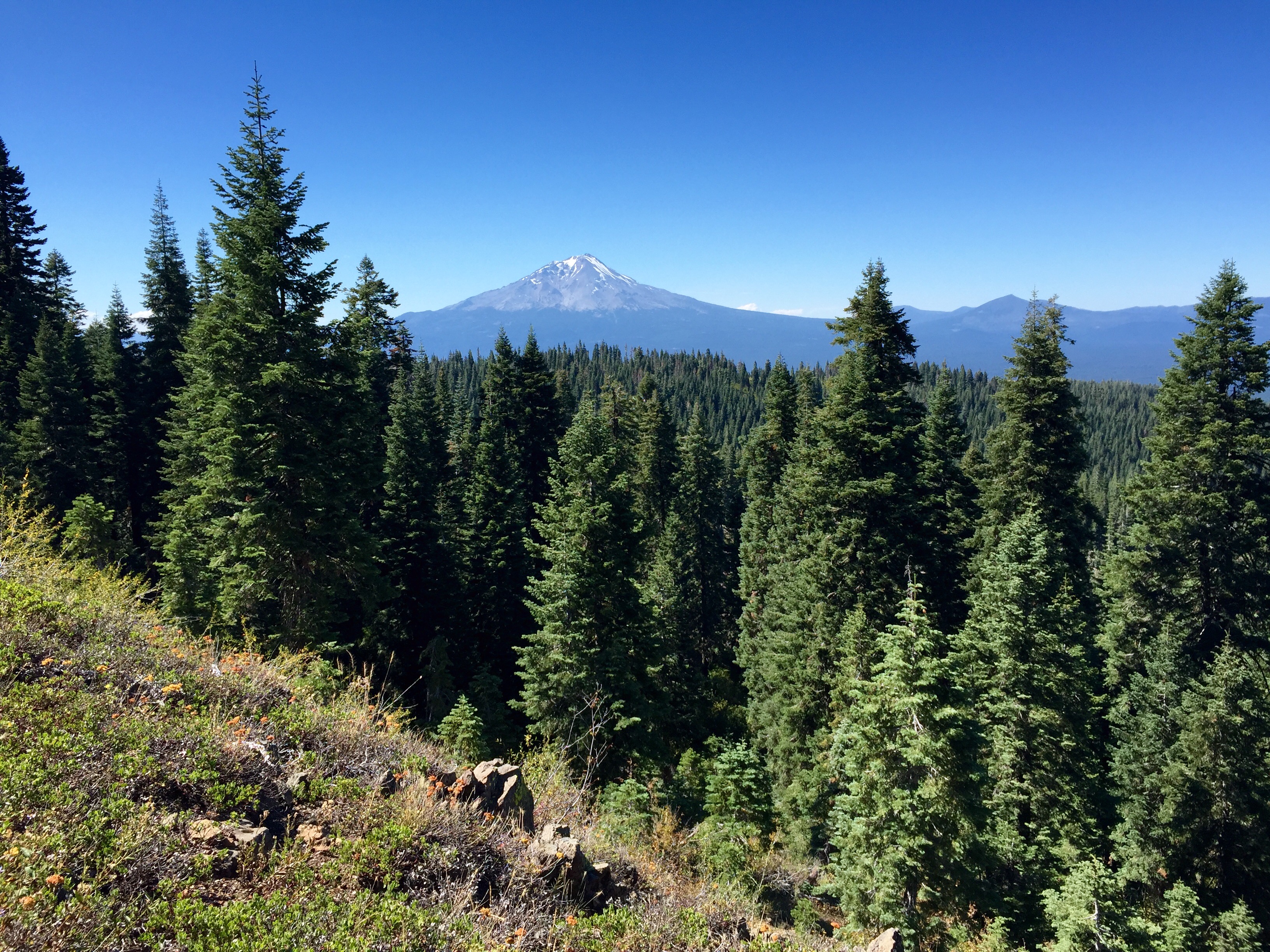
PCT from iPhone
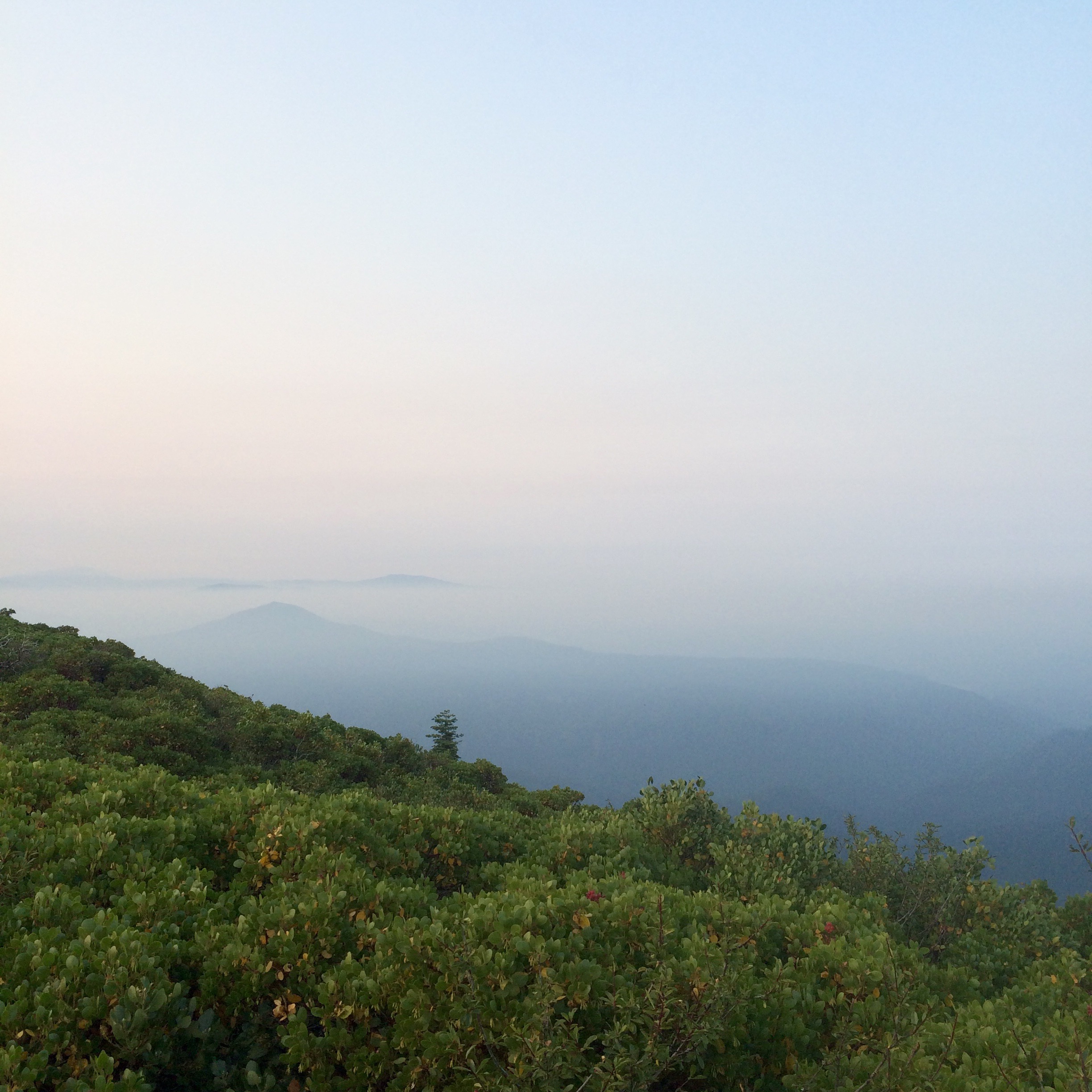
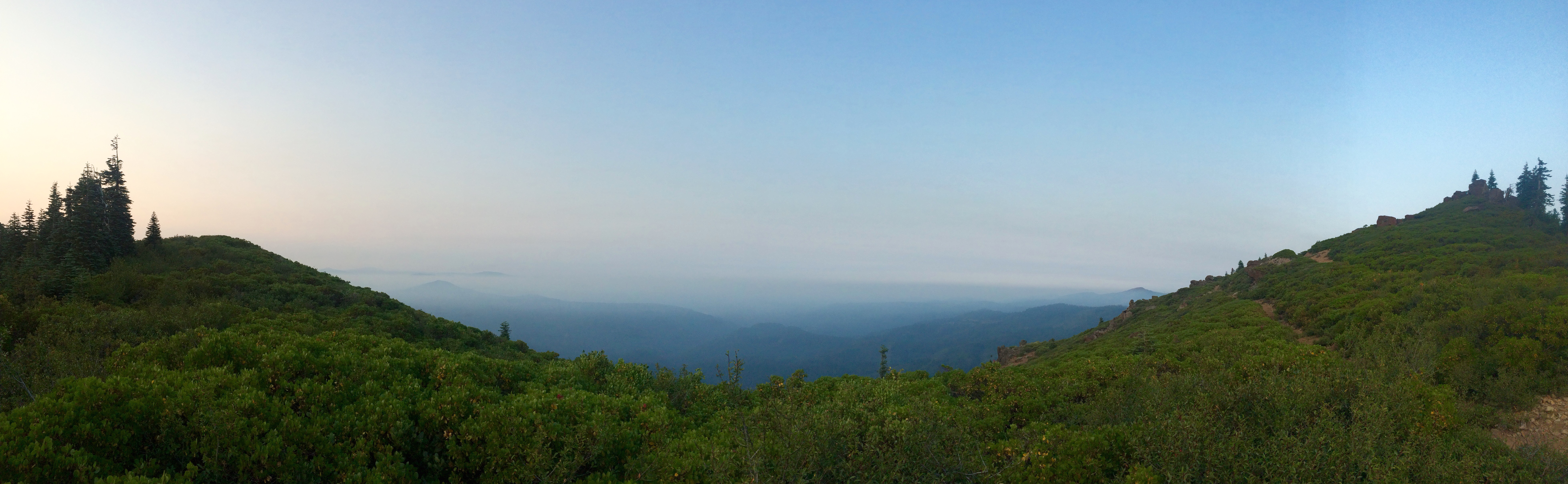
PCT from iPhone
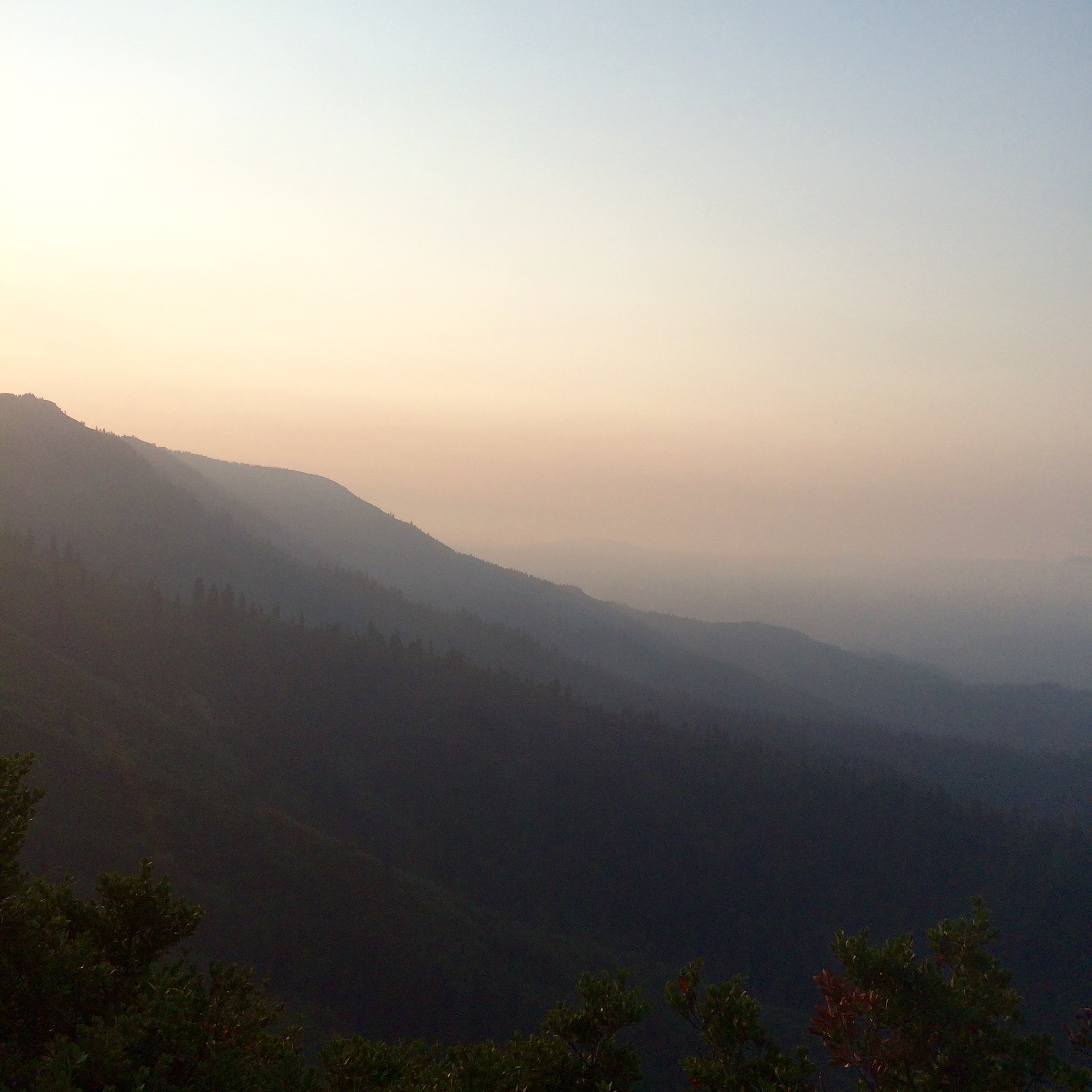
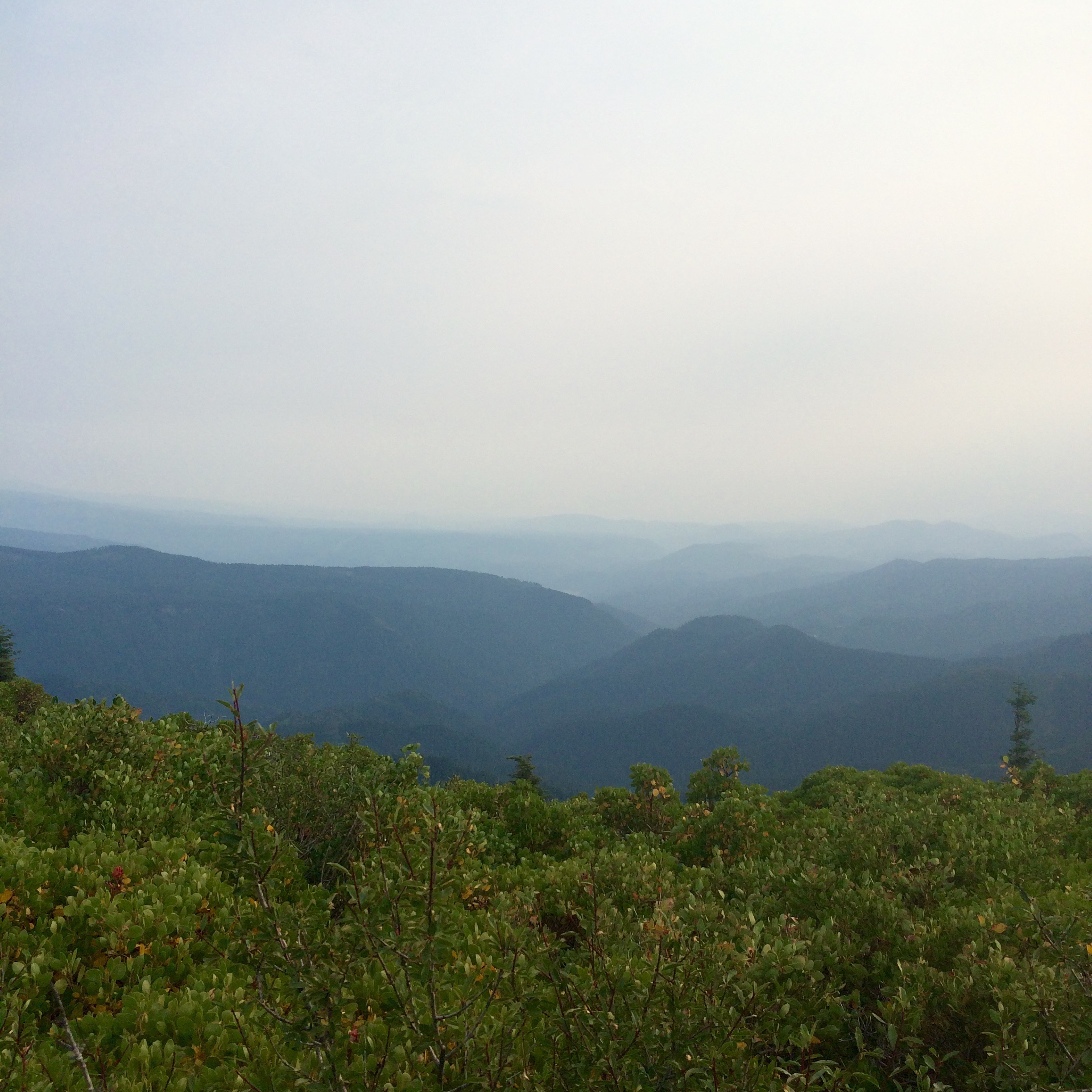
PCT from iPhone
PCT from iPhone
PCT from iPhone
PCT from iPhone
PCT from iPhone

Sixth group
Sixth group
Sixth group

_7150043.NEF
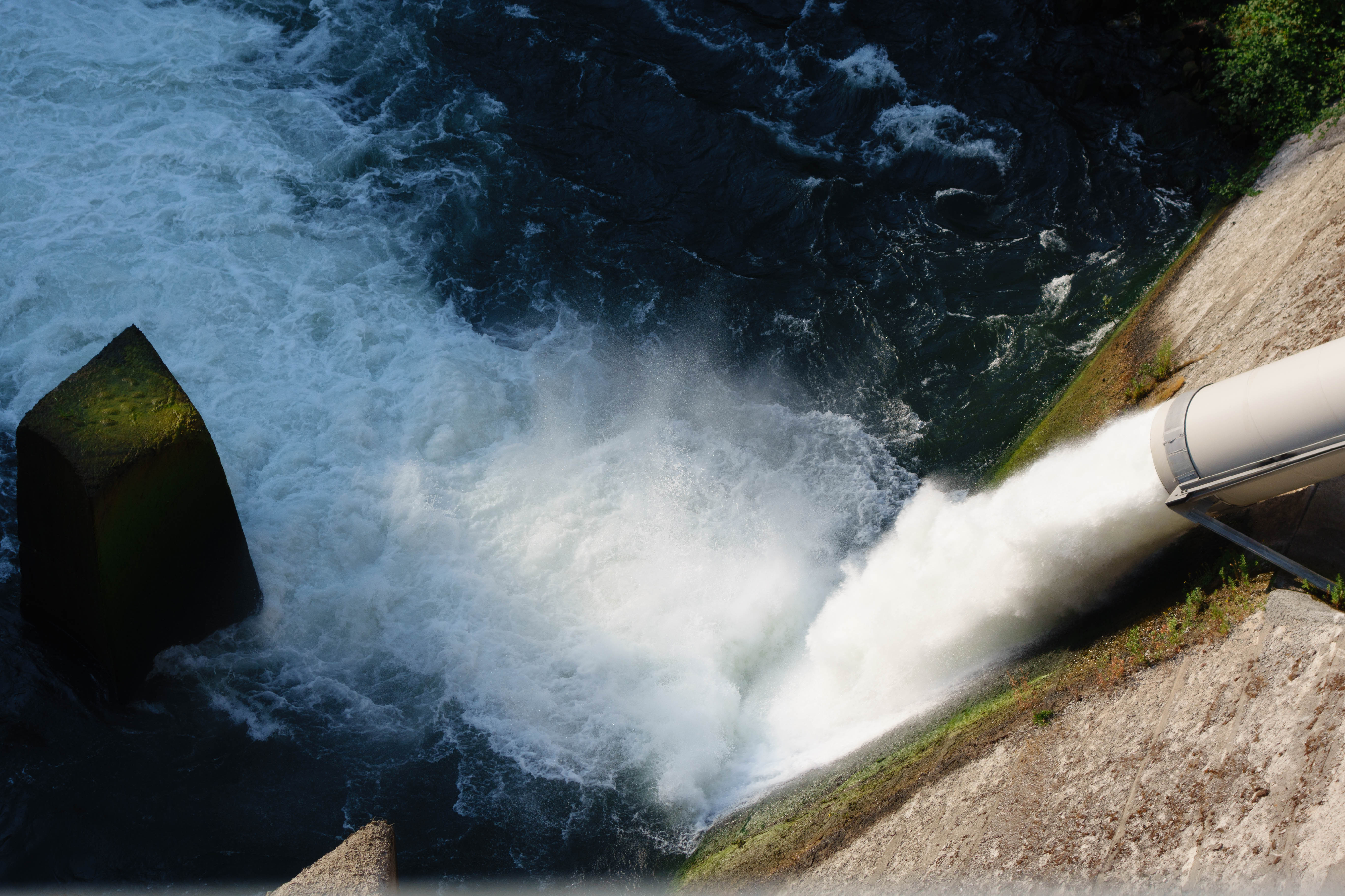
The water over the dam

_8210046.NEF
Topographic Map of Summit Lake Road, Summit Lake Rd, Big Bend, CA, USA
Find elevation by address:

Places near Summit Lake Road, Summit Lake Rd, Big Bend, CA, USA:
Big Bend
Big Bend Rd, Big Bend, CA, USA
Big Bend Road
20911 Big Bend Rd
Hillcrest Rest Area
Burney Falls
Montgomery Creek
30318 Ca-299
Cayton Valley Rd, Burney, CA, USA
29721 D Ann Way
Clark Creek Rd, Burney, CA, USA
30014 Fenders Ferry Rd
37985 Clark Creek Rd
30435 Dunn Moody Rd
Mccloud Falls - Upper Fall
17582 Mountain School Rd
30503 Terry Mill Rd
Hill Country Community Clinic
Redding
Shasta County
Recent Searches:
- Elevation of Beall Road, Beall Rd, Florida, USA
- Elevation of Leguwa, Nepal
- Elevation of County Rd, Enterprise, AL, USA
- Elevation of Kolchuginsky District, Vladimir Oblast, Russia
- Elevation of Shustino, Vladimir Oblast, Russia
- Elevation of Lampiasi St, Sarasota, FL, USA
- Elevation of Elwyn Dr, Roanoke Rapids, NC, USA
- Elevation of Congressional Dr, Stevensville, MD, USA
- Elevation of Bellview Rd, McLean, VA, USA
- Elevation of Stage Island Rd, Chatham, MA, USA