Elevation of Big Bend, CA, USA
Location: United States > California > Shasta County >
Longitude: -121.91110
Latitude: 41.0207132
Elevation: 514m / 1686feet
Barometric Pressure: 95KPa
Elevation Map:
Satellite Map:
Related Photos:

_8200176.NEF

_9080258.NEF
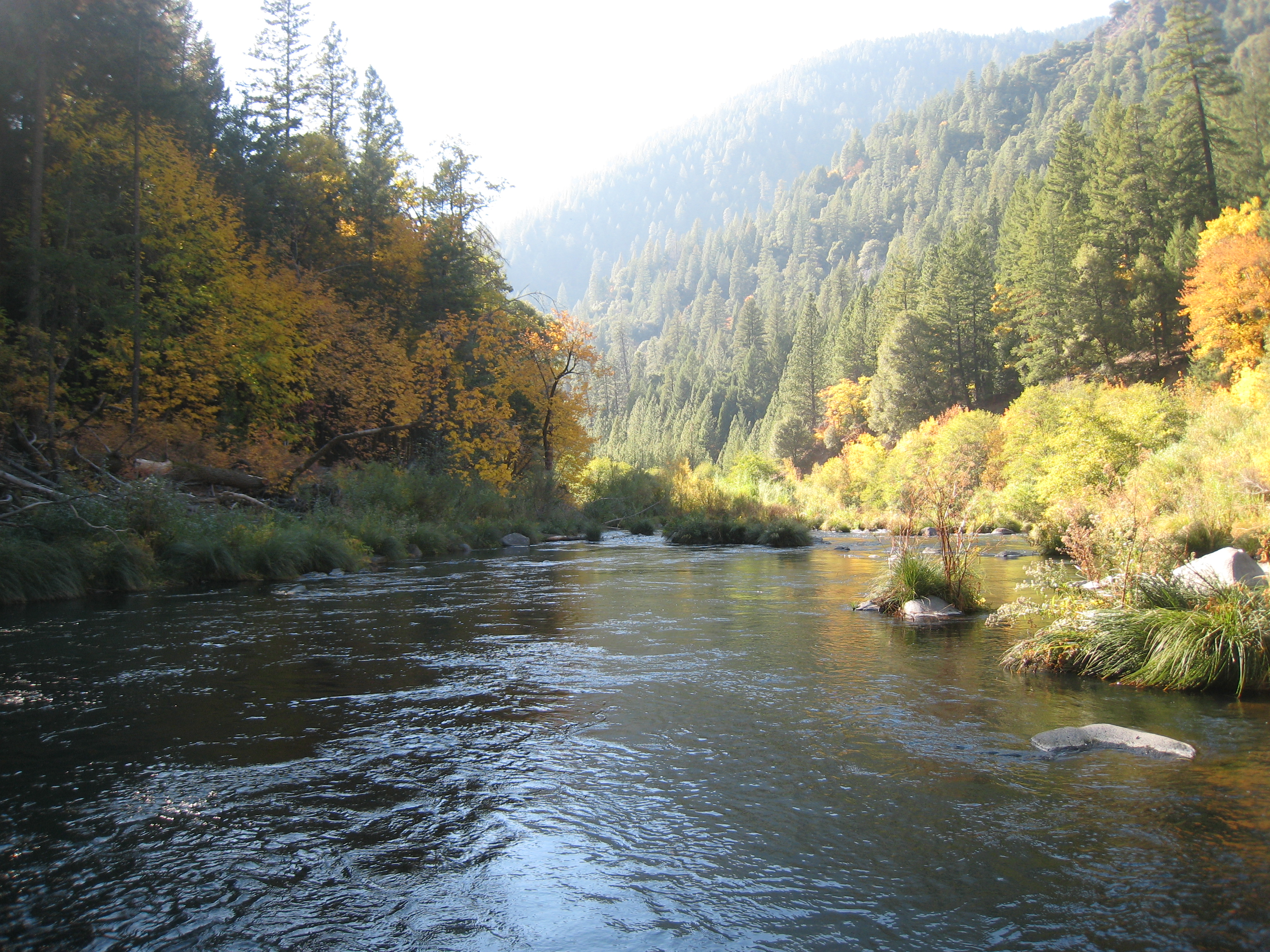
Pit River 11/08
Large Black Oaks
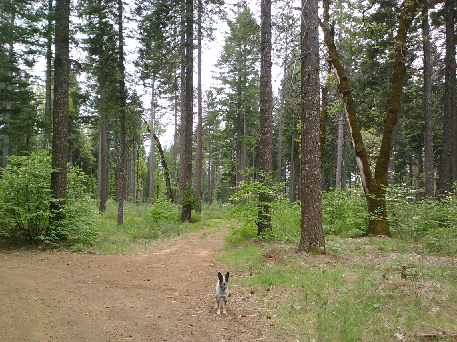
Sixth group
Sixth group

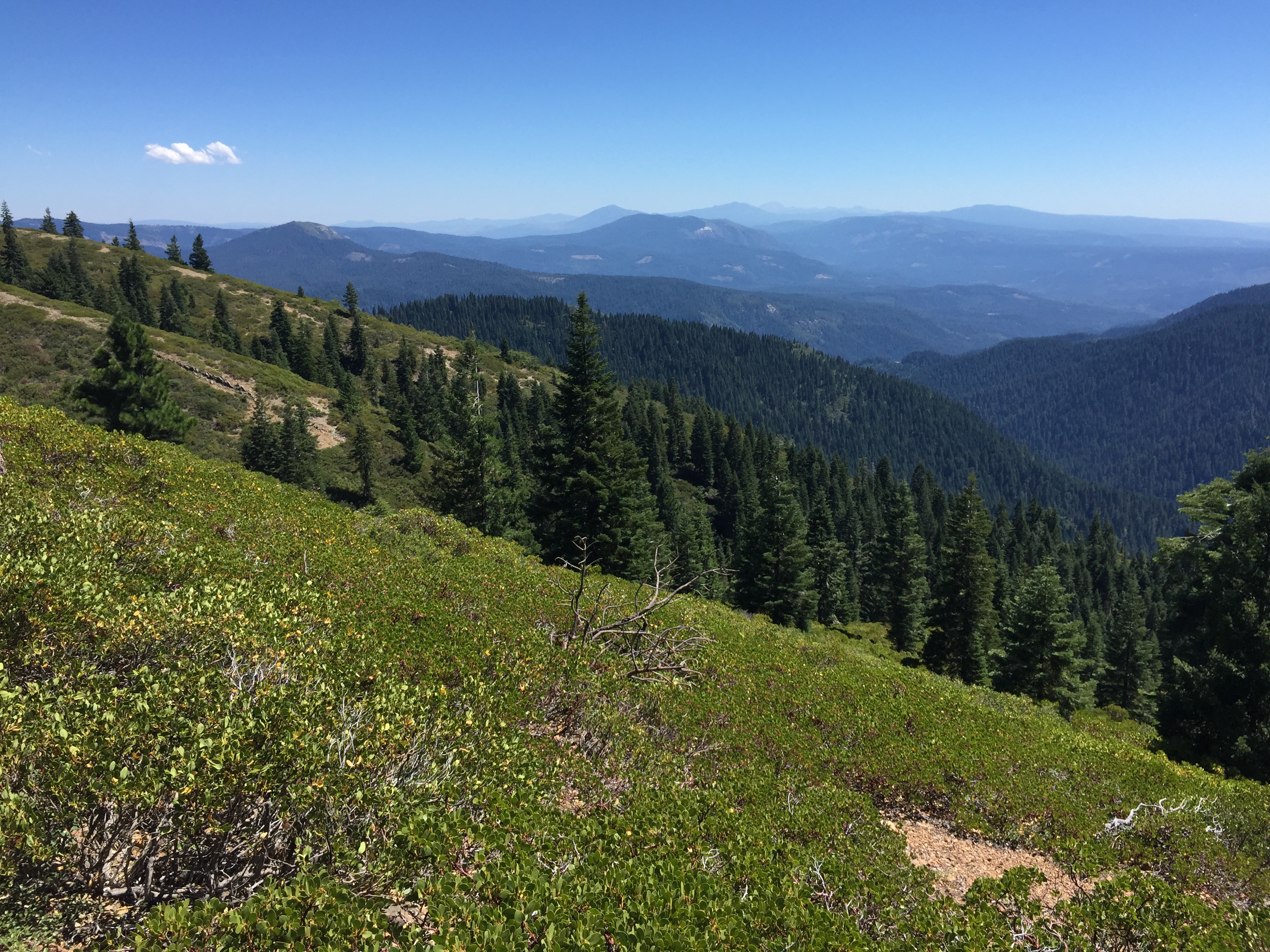
PCT from iPhone

PCT from iPhone

PCT from iPhone

PCT from iPhone
Sixth group

Sixth group

_9080259.NEF

_9080257.NEF

_8210036.NEF

_8210037.NEF

_8210038.NEF

_8200178.NEF

Siskiyou Iris

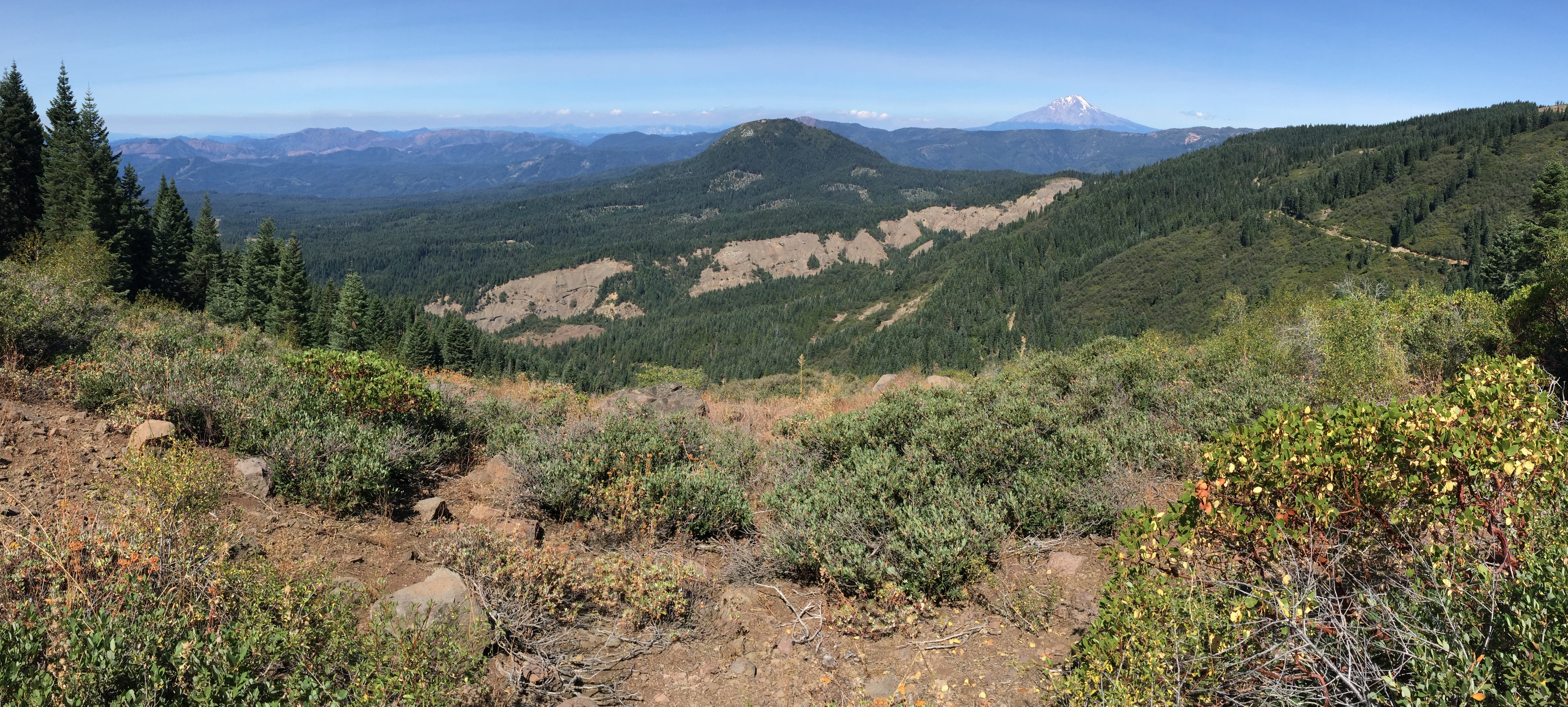
Mountain Majesty
Topographic Map of Big Bend, CA, USA
Find elevation by address:

Places in Big Bend, CA, USA:
Places near Big Bend, CA, USA:
Big Bend Rd, Big Bend, CA, USA
Summit Lake Road
Big Bend Road
20911 Big Bend Rd
Hillcrest Rest Area
Montgomery Creek
30318 Ca-299
29721 D Ann Way
30014 Fenders Ferry Rd
30435 Dunn Moody Rd
17582 Mountain School Rd
Hill Country Community Clinic
30503 Terry Mill Rd
Round Mountain
Redding
Shasta County
Mccloud Falls - Upper Fall
Burney Falls
Clark Creek Rd, Burney, CA, USA
37985 Clark Creek Rd
Recent Searches:
- Elevation of S Layton Cir W, Layton, UT, USA
- Elevation of F36W+3M, Mussoorie, Uttarakhand, India
- Elevation of Fairland Ave, Fairhope, AL, USA
- Elevation of Sunset Dr, Richmond, VA, USA
- Elevation of Grodna District, Hrodna Region, Belarus
- Elevation of Hrodna, Hrodna Region, Belarus
- Elevation of Sandia Derby Estates, Tijeras, NM, USA
- Elevation of 23 Sunrise View Ct, Tijeras, NM, USA
- Elevation of Lytham Ln, Katy, TX, USA
- Elevation of Tater Hill, Oklahoma, USA