Elevation of Sulphur Springs Campground, Happy Camp, CA, United States
Location: United States > California > Happy Camp >
Longitude: -123.32033
Latitude: 41.6590165
Elevation: 669m / 2195feet
Barometric Pressure: 94KPa
Elevation Map:
Satellite Map:
Related Photos:
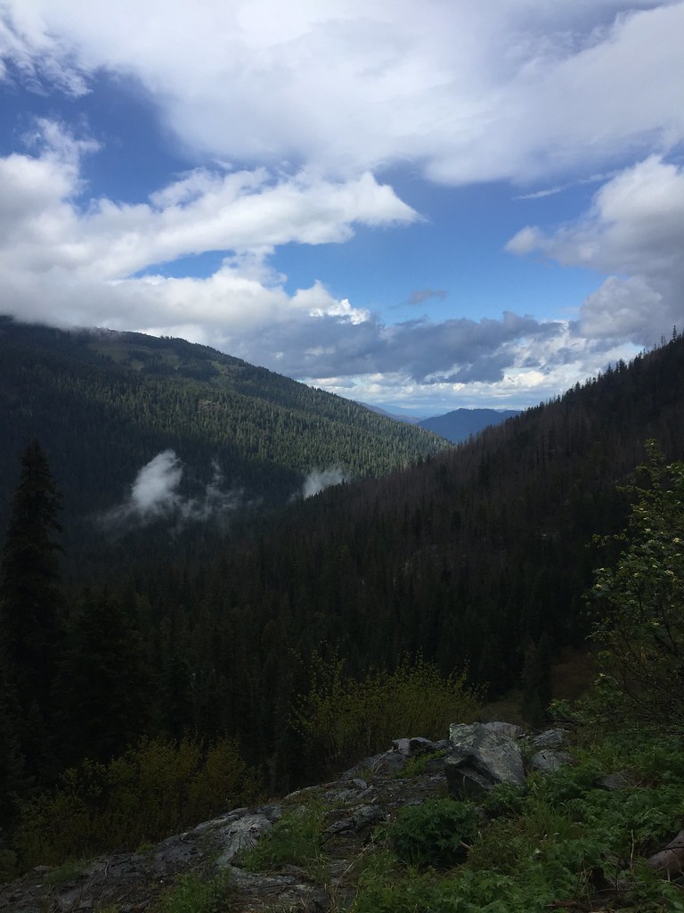
Marble Rim Trail
morning view of camp dining room
Thu 0716
Hiking the Marble Rim Trail
On Marble Mountain
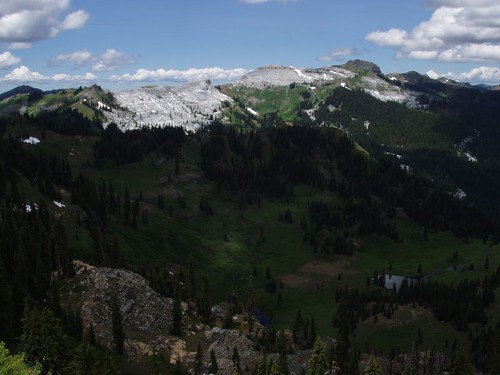
Marble Valley and Sky High Valley from Marble Mountain
Marble Mountain and Valley
Big Elk Lake

Fifth group
Black Marble and the marble gap
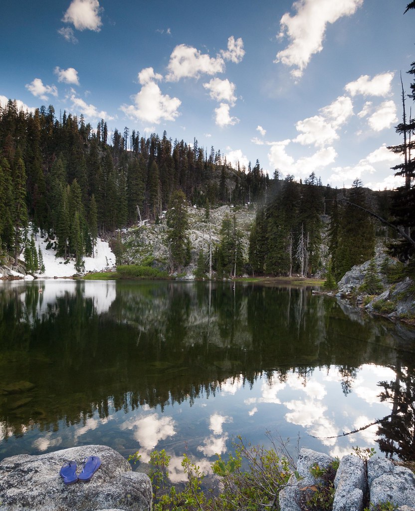
Flip Flops
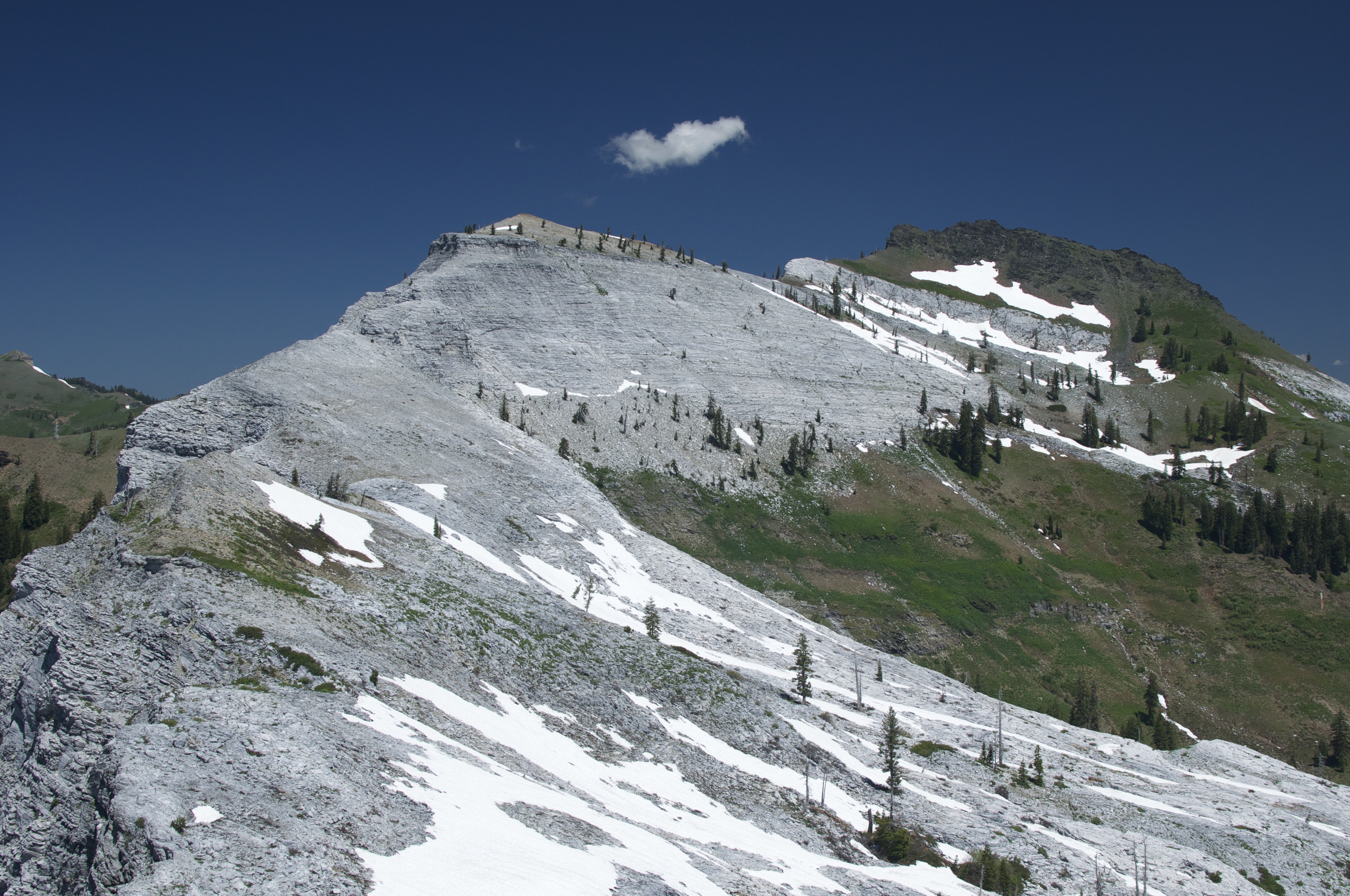
Marble Mountains

Clear Creek

The Hike to Ukanom Falls
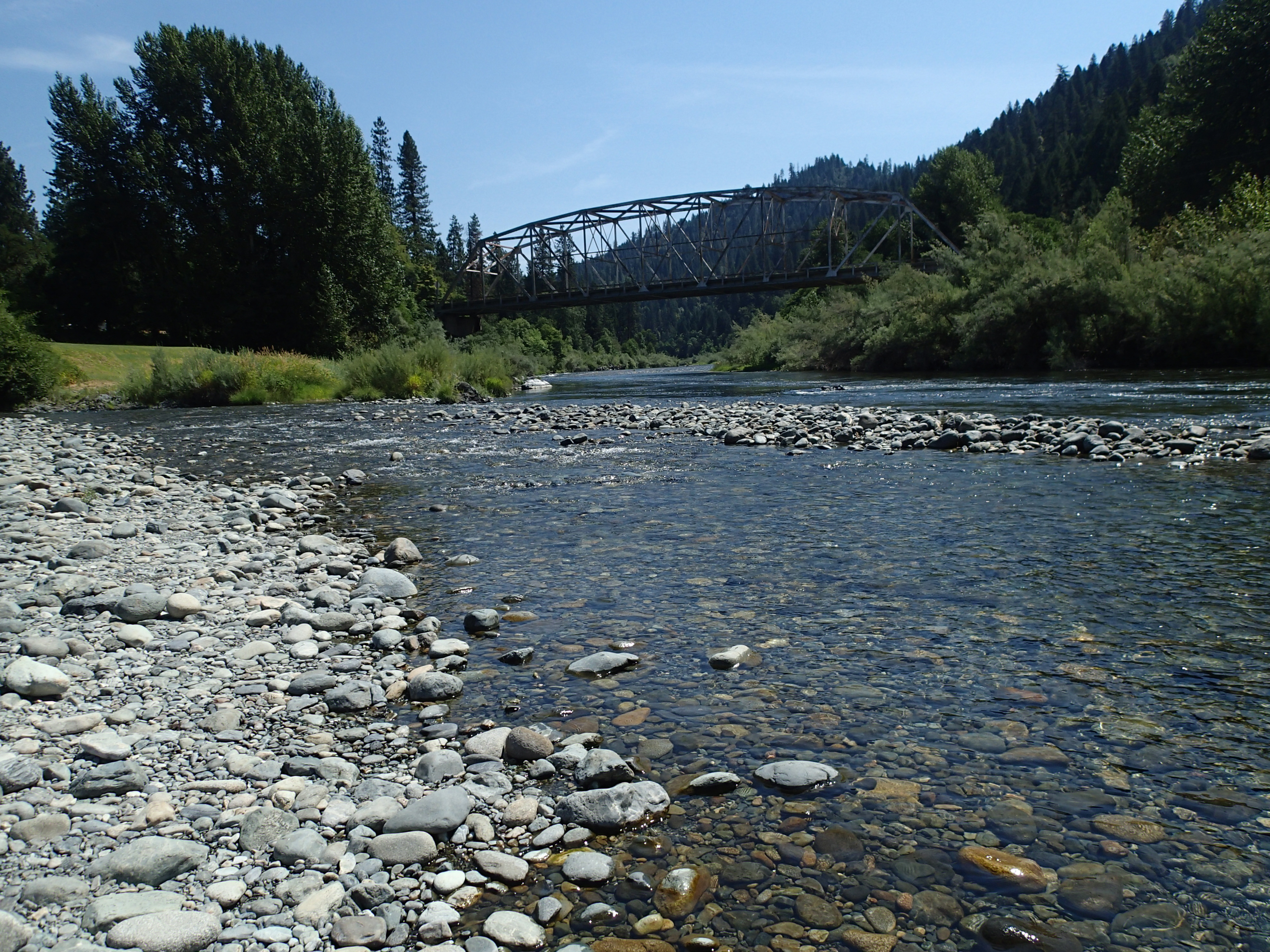
Klamath River at the Indian Creek access

Looking along the Marble Mountain ridge

Big Ridge, Marble Mountains
Marble Mountains
Topographic Map of Sulphur Springs Campground, Happy Camp, CA, United States
Find elevation by address:

Places near Sulphur Springs Campground, Happy Camp, CA, United States:
Black Marble Mountain
Happy Camp
52523 Ca-96
CA-96, Seiad Valley, CA, USA
Pacific Coast Ranges
Scott River Lodge
Seiad Valley
Boulder Peak
92520 Ca-96
Red Butte
25231 Scott River Rd
West Branch Campground
29103 Scott River Rd
Salmon River Rd, Somes Bar, CA, USA
Somes Bar
9515 Scott River Rd
Scott River Rd, Scott Bar, CA, USA
Scott Bar
Smokey Lane
9007 Marble Mountain Ln
Recent Searches:
- Elevation of Corso Fratelli Cairoli, 35, Macerata MC, Italy
- Elevation of Tallevast Rd, Sarasota, FL, USA
- Elevation of 4th St E, Sonoma, CA, USA
- Elevation of Black Hollow Rd, Pennsdale, PA, USA
- Elevation of Oakland Ave, Williamsport, PA, USA
- Elevation of Pedrógão Grande, Portugal
- Elevation of Klee Dr, Martinsburg, WV, USA
- Elevation of Via Roma, Pieranica CR, Italy
- Elevation of Tavkvetili Mountain, Georgia
- Elevation of Hartfords Bluff Cir, Mt Pleasant, SC, USA