Elevation of West Branch Campground, Happy Camp, CA, United States
Location: United States > California > Happy Camp >
Longitude: -123.47505
Latitude: 41.9315081
Elevation: 664m / 2178feet
Barometric Pressure: 94KPa
Elevation Map:
Satellite Map:
Related Photos:

View to part of Pyramid Peak

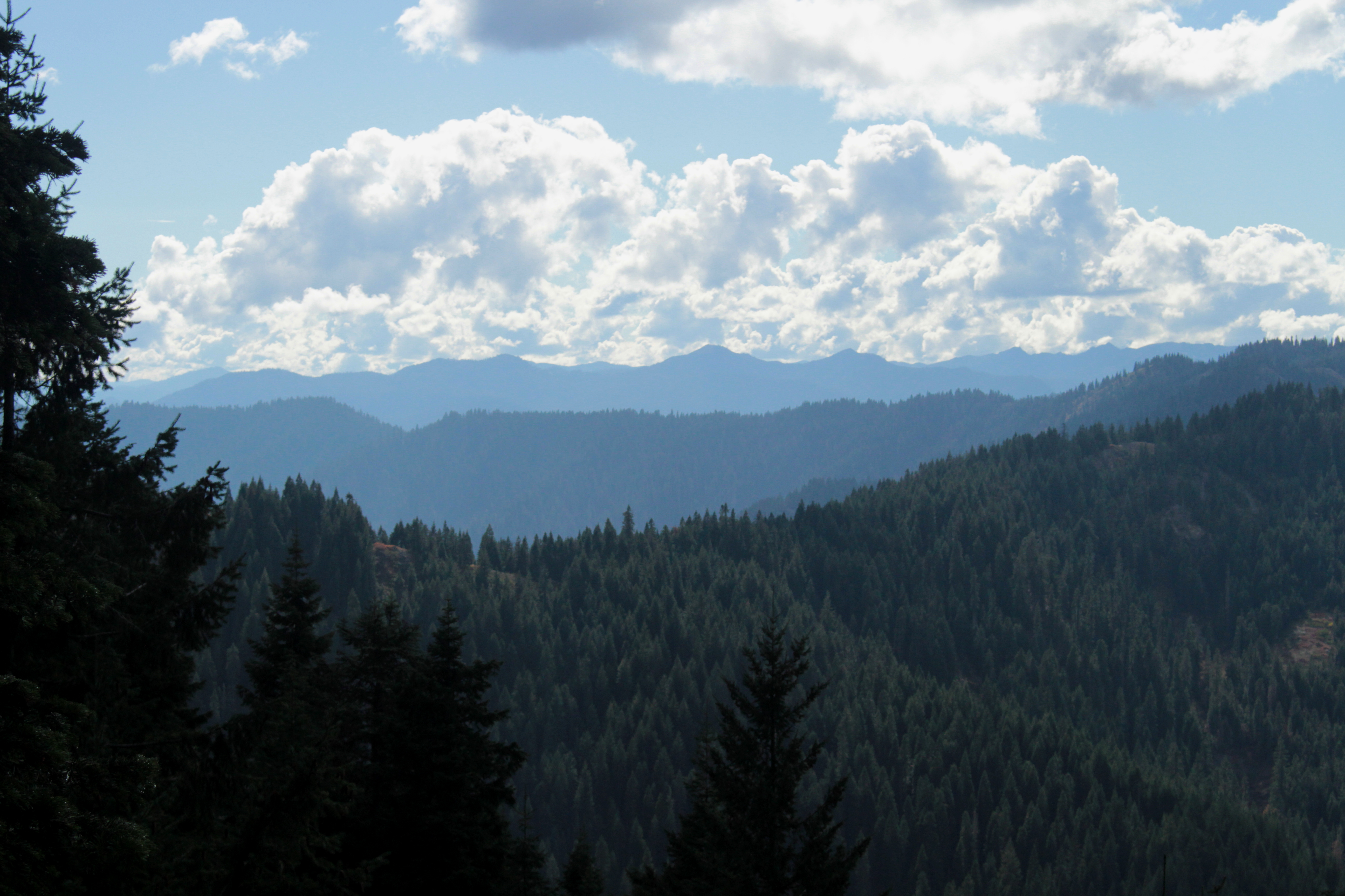
First view of Swan Mountain
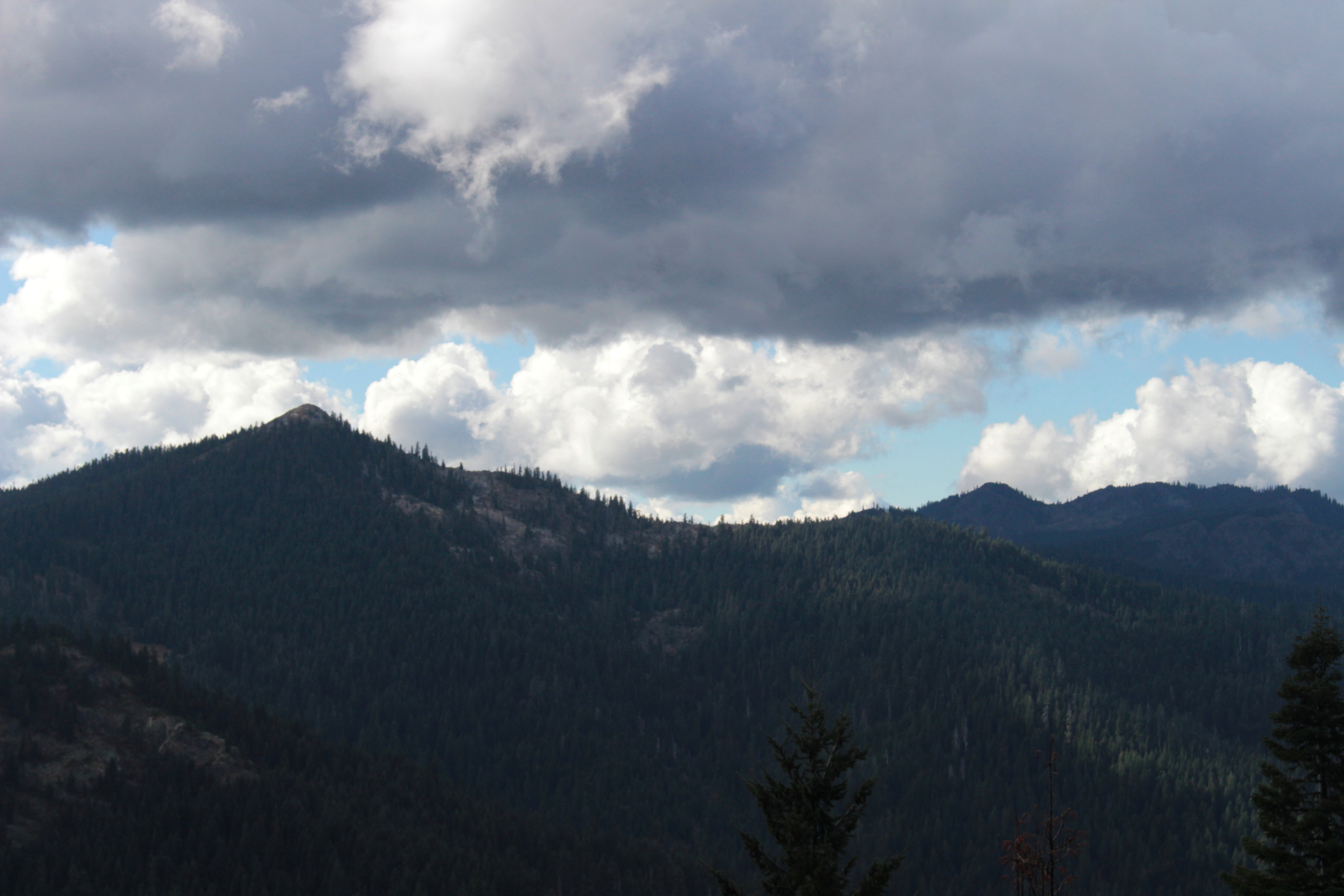
Pyramid Peak dominated the view
View to the Siskiyou Mountains crest

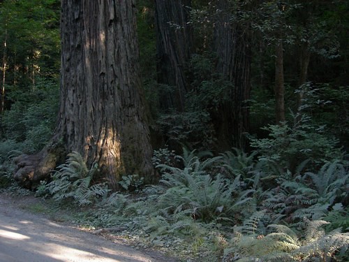
Page Creek Taklima Oregon
more greenery
Topographic Map of West Branch Campground, Happy Camp, CA, United States
Find elevation by address:

Places near West Branch Campground, Happy Camp, CA, United States:
Pacific Coast Ranges
Happy Camp
52523 Ca-96
Chateau At The Oregon Caves
Oregon Caves Visitor Center
Oregon Caves National Monument
1501 Happy Camp Rd
Takilma
Althouse Rd, Cave Junction, OR, USA
6409 Takilma Rd
4299 Dick George Rd
860 Robinson Corner Rd
CA-96, Seiad Valley, CA, USA
7205 Caves Hwy
Grayback Mountain
143 Enchanted Way
655 Logan Cut Dr
461 O Brien Rd
O'brien
36916 Redwood Hwy
Recent Searches:
- Elevation of Corso Fratelli Cairoli, 35, Macerata MC, Italy
- Elevation of Tallevast Rd, Sarasota, FL, USA
- Elevation of 4th St E, Sonoma, CA, USA
- Elevation of Black Hollow Rd, Pennsdale, PA, USA
- Elevation of Oakland Ave, Williamsport, PA, USA
- Elevation of Pedrógão Grande, Portugal
- Elevation of Klee Dr, Martinsburg, WV, USA
- Elevation of Via Roma, Pieranica CR, Italy
- Elevation of Tavkvetili Mountain, Georgia
- Elevation of Hartfords Bluff Cir, Mt Pleasant, SC, USA