Elevation of Sujlam Suflam Canal, Gujarat
Location: India > Gujarat >
Longitude: 72.2975367
Latitude: 23.7676416
Elevation: 92m / 302feet
Barometric Pressure: 100KPa
Elevation Map:
Satellite Map:
Related Photos:

Temple

Gujarat

IMG_20191124_162929[1]

19707 Aravali Express

Unexpected rains produced this beauty at rig site today ???? #mehsana #rainbow #colorful #nature #naturalbeauty #rains #unseasonal #oilindustry #village #countryside #sky #picoftheday #photooftheday #instadaily #ipod #gujarat

Peeking Grasshopper

Camel cart

Step well

Step well

Step well

Step well

Step well
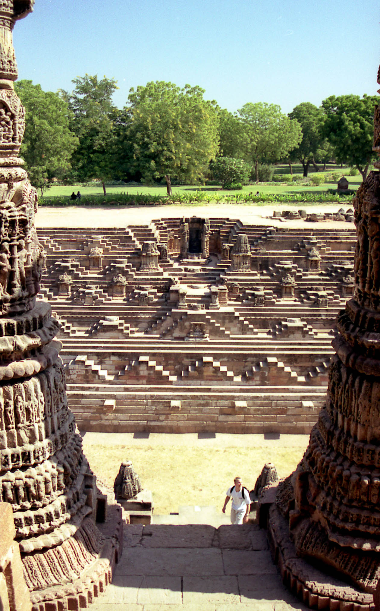
Step well

Step well

Step well

Camel cart

Step well
Topographic Map of Sujlam Suflam Canal, Gujarat
Find elevation by address:

Places near Sujlam Suflam Canal, Gujarat:
Patan
Mehsana
Mehsana
Patan
Vijapur
Kalol
Amarapur
Amarnath Mandir Temple
Dolarana Vasna
Moyad
Vadsar
Prantij
Gandhinagar
Sector 6
Dada Bhagwan Foundation
Santej - Vadsar Road
Prantij Bus Station
Salal
Adalaj
Gandhinagar
Recent Searches:
- Elevation of Elwyn Dr, Roanoke Rapids, NC, USA
- Elevation of Congressional Dr, Stevensville, MD, USA
- Elevation of Bellview Rd, McLean, VA, USA
- Elevation of Stage Island Rd, Chatham, MA, USA
- Elevation of Shibuya Scramble Crossing, 21 Udagawacho, Shibuya City, Tokyo -, Japan
- Elevation of Jadagoniai, Kaunas District Municipality, Lithuania
- Elevation of Pagonija rock, Kranto 7-oji g. 8"N, Kaunas, Lithuania
- Elevation of Co Rd 87, Jamestown, CO, USA
- Elevation of Tenjo, Cundinamarca, Colombia
- Elevation of Côte-des-Neiges, Montreal, QC H4A 3J6, Canada