Elevation of Prantij, Gujarat, India
Location: India > Gujarat > Sabarkatha >
Longitude: 72.8528118
Latitude: 23.4367496
Elevation: 123m / 404feet
Barometric Pressure: 100KPa
Elevation Map:
Satellite Map:
Related Photos:

#Mahudi #Jain #temple
Goooopallllllllll raaaazzzzzz
Bird feeder.
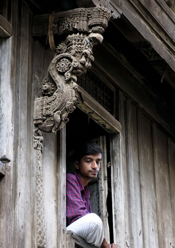
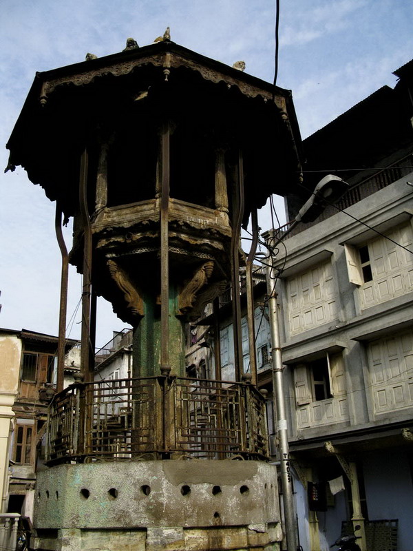
An ancient pillar and a man
Topographic Map of Prantij, Gujarat, India
Find elevation by address:

Places near Prantij, Gujarat, India:
Prantij Bus Station
Salal
Moyad
Amarnath Mandir Temple
Amarapur
Vijapur
Himatnagar Polytechnic College
Sahakari Jin
Dolarana Vasna
Himmatnagar
Chiloda
Gandhinagar
Gandhinagar
Sector 6
Indroda Nature Park
Gujarat International Finance Tec-city
Dada Bhagwan Foundation
Adalaj
Kalol
Hansol
Recent Searches:
- Elevation of Beall Road, Beall Rd, Florida, USA
- Elevation of Leguwa, Nepal
- Elevation of County Rd, Enterprise, AL, USA
- Elevation of Kolchuginsky District, Vladimir Oblast, Russia
- Elevation of Shustino, Vladimir Oblast, Russia
- Elevation of Lampiasi St, Sarasota, FL, USA
- Elevation of Elwyn Dr, Roanoke Rapids, NC, USA
- Elevation of Congressional Dr, Stevensville, MD, USA
- Elevation of Bellview Rd, McLean, VA, USA
- Elevation of Stage Island Rd, Chatham, MA, USA