Elevation of Sugar Run Rd, Millerstown, PA, USA
Location: United States > Pennsylvania > Perry County > Millerstown >
Longitude: -77.221317
Latitude: 40.5110539
Elevation: 187m / 614feet
Barometric Pressure: 99KPa
Elevation Map:
Satellite Map:
Related Photos:

Their Last Summer?

The View Always Changes

1988 12-26 1245-2 Conrail B36-7-5011 W/B Mail-9 Mexico, PA

1986 10-05 1145 CR GP40-3201 W/B XWB-31 Thompsontown Station, PA

Port Royal (Pa.) Lutheran Church: exterior view (undated)
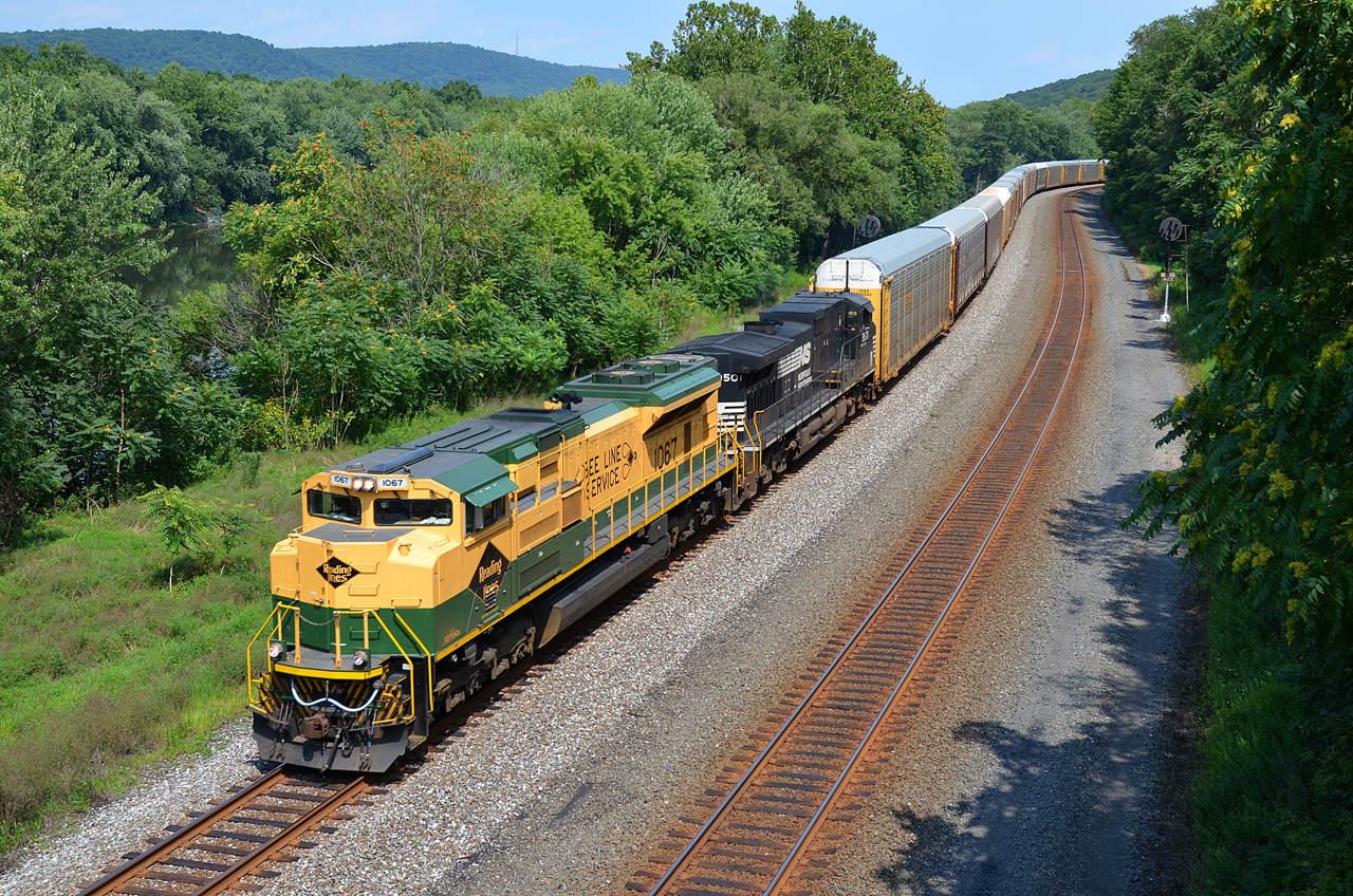
RDG SD70ACe-1067, NS SD70ACe-1126 W/B 777 at Thompsontown Station, PA.

1986 10-05 1153 CR American Crane-92544 E/B Thompsontown Station, PA

1980 11-30 3:10PM CR SD45-6136 E/B, Mexico, PA.

2019 03-05 1448-2 NS C40-9W-9254 E/B 20-Q Port Royal, PA

2019 03-05 1448-4 NS C40-9W-9254 E/B 20-Q Port Royal, PA

NS C40-9W-9275 W/B 21-E at Thompsontown Station, PA.
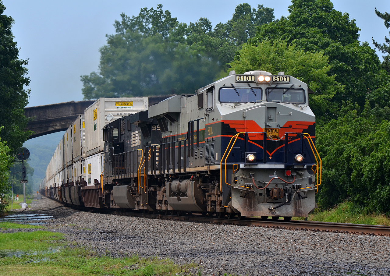
C of G ES44AC-8101, NS C40-9W-9582 E/B 20W at Port Royal, PA
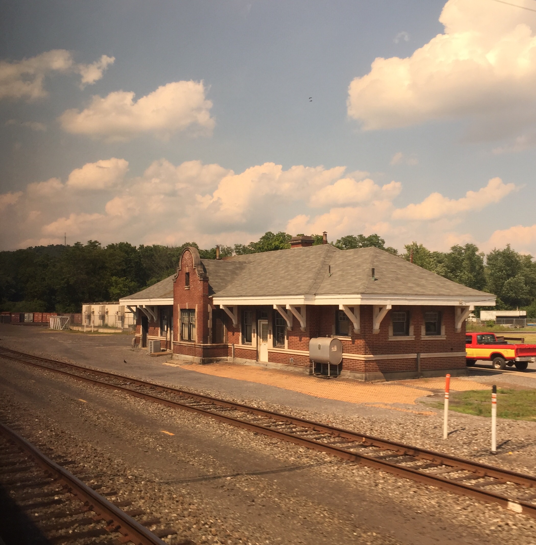
Walker PA: Former Pennsylvania Railroad station

CNJ/NS SD70ACe-1071 W/B 21A at Millerstown, PA

C of G ES44AC-8101, NS C40-9W-9582 E/B 20W at Port Royal, PA
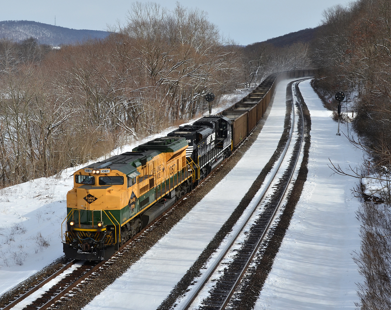
WIDE VIEW. RDG-NS SD70ACe-1067 WB 11J at Thompsontown Station, PA

C of G ES44AC-8101 W/B 65R at Millerstown, PA

PRR-NS ES44AC-8102 E/B 26T at Port Royal, PA

DIFFERENT VIEWS AT PORT ROYAL. NS SD70ACe-1082 E/B 20T at Port Royal, PA

HOUSE WITH A VIEW: AMTK P32-8-512 W/B 43 The Pennsylvanian at Millerstown, PA

NS C40-9W-9839, 8963 E/B 20W at Mexico, PA

Near McAlisterville, Pa.

farm spring landscape

Magic Hour

2018 06-04 1130 UP SD70AH-1943 W/B 066 Thompsontown Station, PA

Feeling Blue

Stacks West

Amtrak at Mexico

Little Buffalo Creek winds between trees in autumn colors at Little Buffalo State Park, Pennsylvania.

A creek is by a raised, flat trail surrounded by trees at Little Buffalo State Park, Pennsylvania.
NS 11J at Auto128

Reinford Farms in Juniata County, Pa.

Stormy Skies

-from

Juniata Morning

6 45 pm

DSC_1088 (1280x854)

Foam for a former Can

So many cornfields around here

NS Sandwich

Field (no filters)
Topographic Map of Sugar Run Rd, Millerstown, PA, USA
Find elevation by address:

Places near Sugar Run Rd, Millerstown, PA, USA:
507 Sugar Run Rd
Tuscarora Township
218 Ross Ln
218 Ross Ln
Juniata Township
20 Academy Rd, Newport, PA, USA
4180 Middle Ridge Rd
Creek Rd, Newport, PA, USA
9 William Penn Hwy, Thompsontown, PA, USA
Thompsontown
Middle Ridge Rd, Newport, PA, USA
9500 Creek Rd
34 North Market Street
Millerstown
417 Honeysuckle Hollow Rd
Oliver Township
705 E Sunbury St
Centre Township
W Juniata Pkwy, Millerstown, PA, USA
18 Rue Dr
Recent Searches:
- Elevation of Congressional Dr, Stevensville, MD, USA
- Elevation of Bellview Rd, McLean, VA, USA
- Elevation of Stage Island Rd, Chatham, MA, USA
- Elevation of Shibuya Scramble Crossing, 21 Udagawacho, Shibuya City, Tokyo -, Japan
- Elevation of Jadagoniai, Kaunas District Municipality, Lithuania
- Elevation of Pagonija rock, Kranto 7-oji g. 8"N, Kaunas, Lithuania
- Elevation of Co Rd 87, Jamestown, CO, USA
- Elevation of Tenjo, Cundinamarca, Colombia
- Elevation of Côte-des-Neiges, Montreal, QC H4A 3J6, Canada
- Elevation of Bobcat Dr, Helena, MT, USA