Elevation of Perry County, PA, USA
Location: United States > Pennsylvania >
Longitude: -77.240515
Latitude: 40.371376
Elevation: 257m / 843feet
Barometric Pressure: 98KPa
Elevation Map:
Satellite Map:
Related Photos:

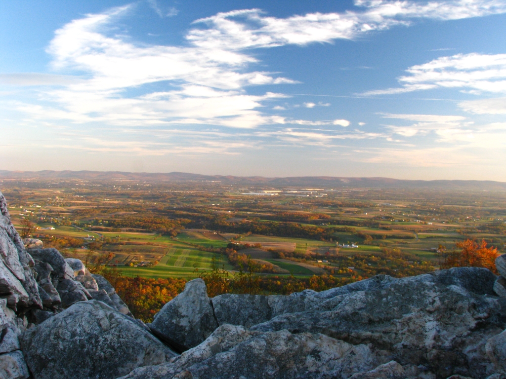
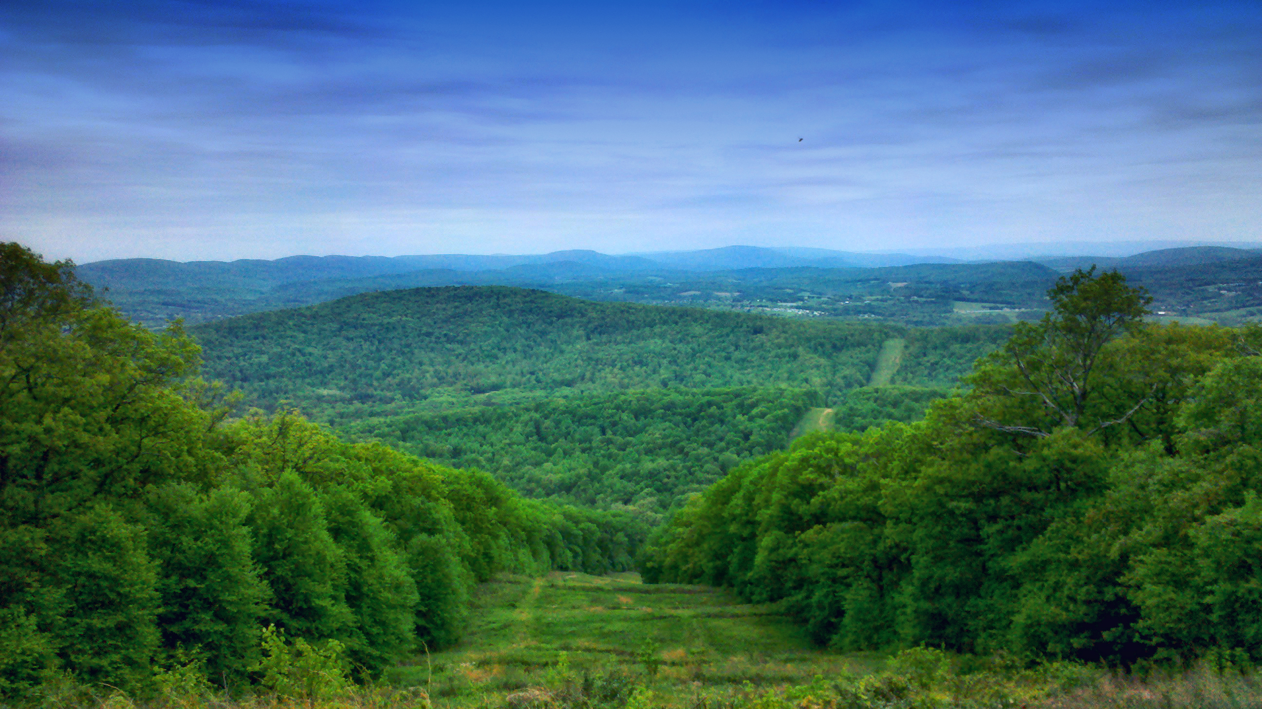
Waggoners Gap Hawk Lookout
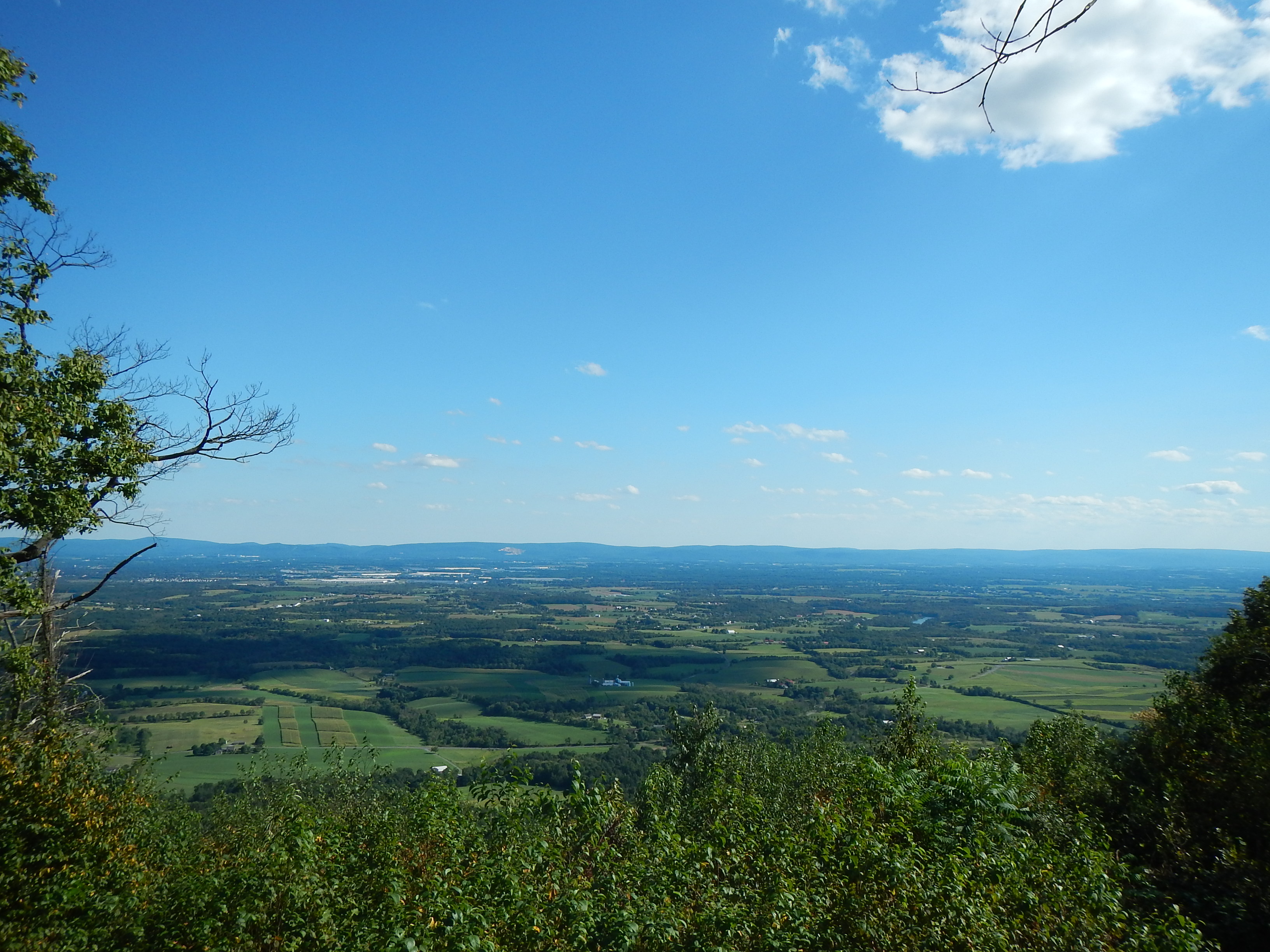
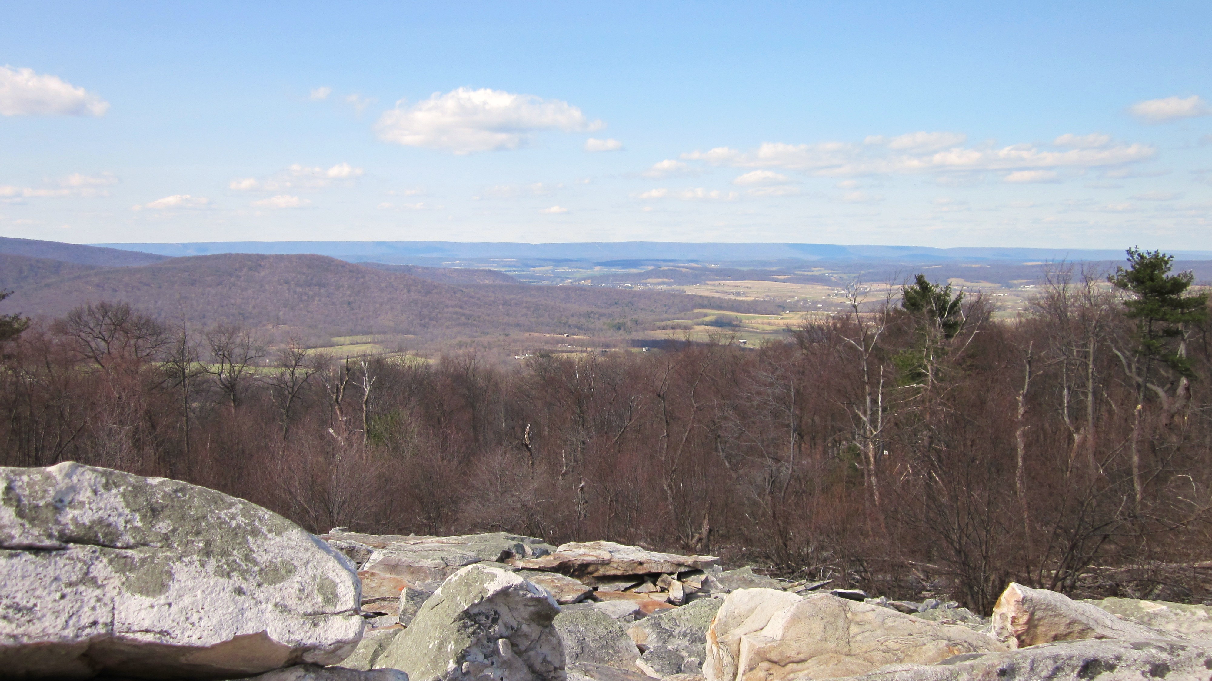
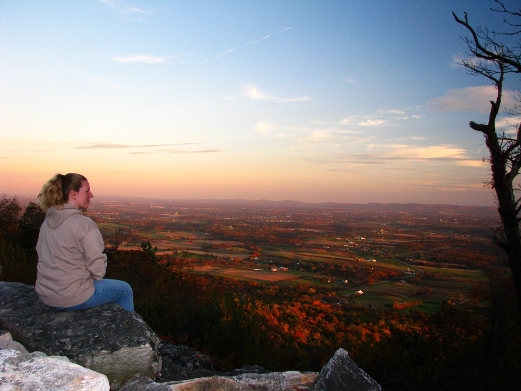
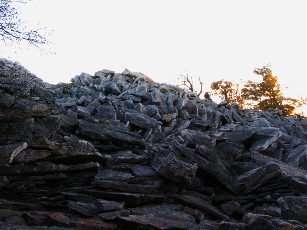
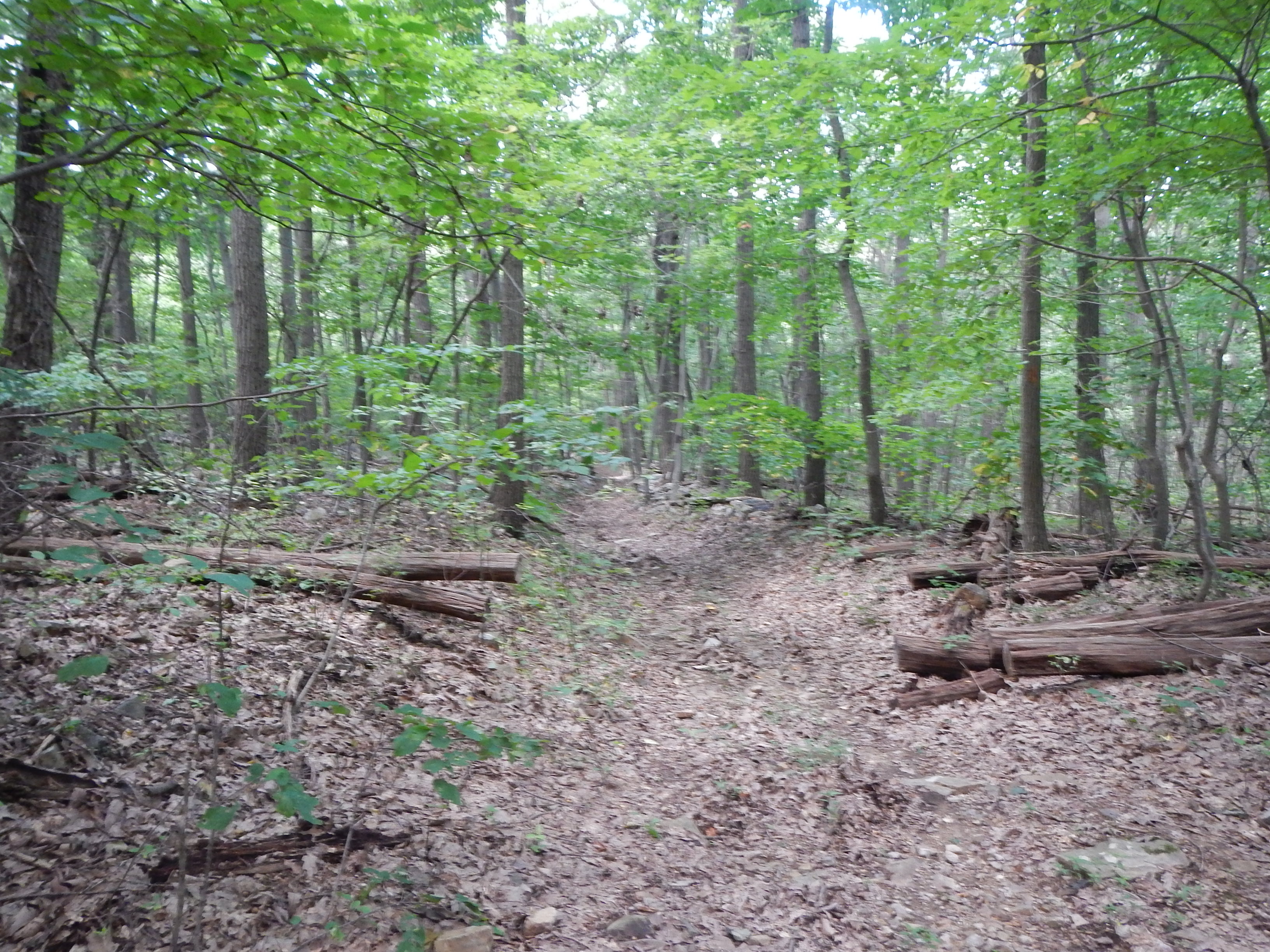
DSCN0244 No WP -- View from East Rocks Overlook
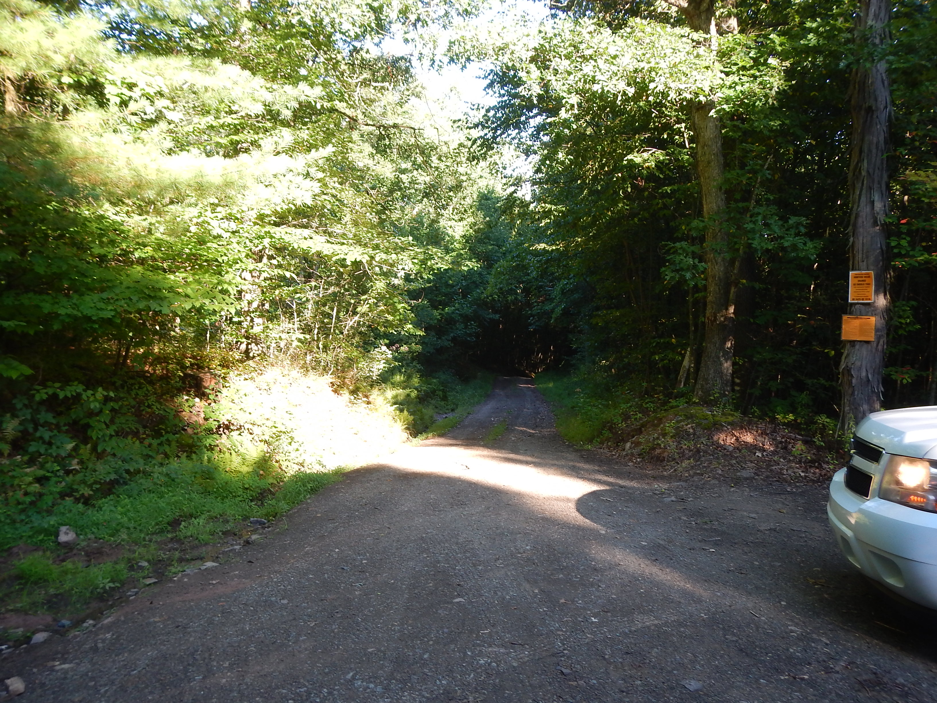
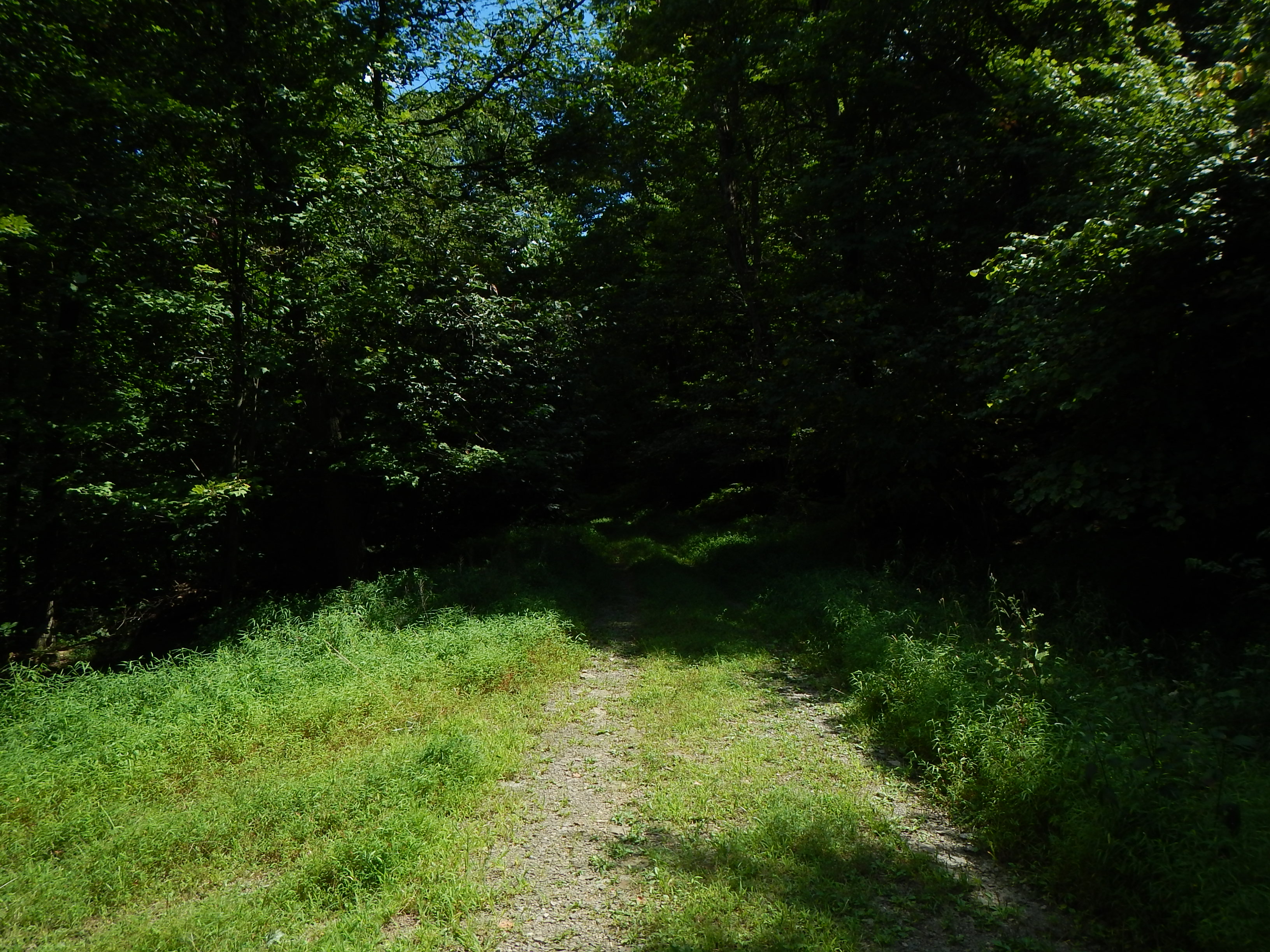
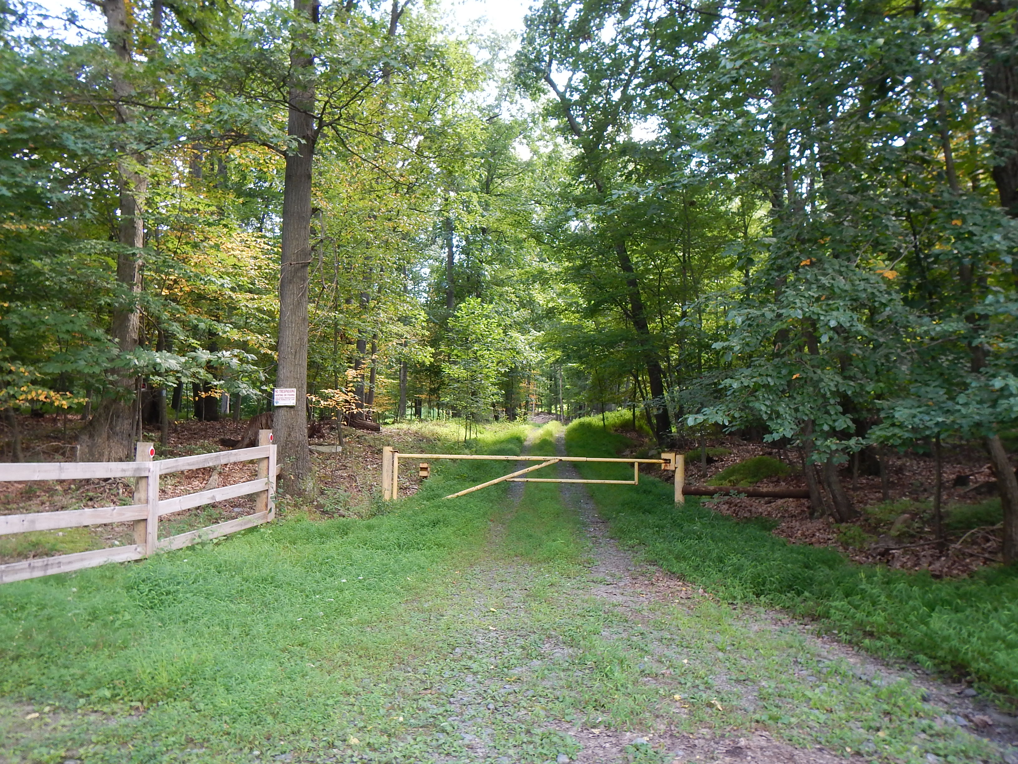
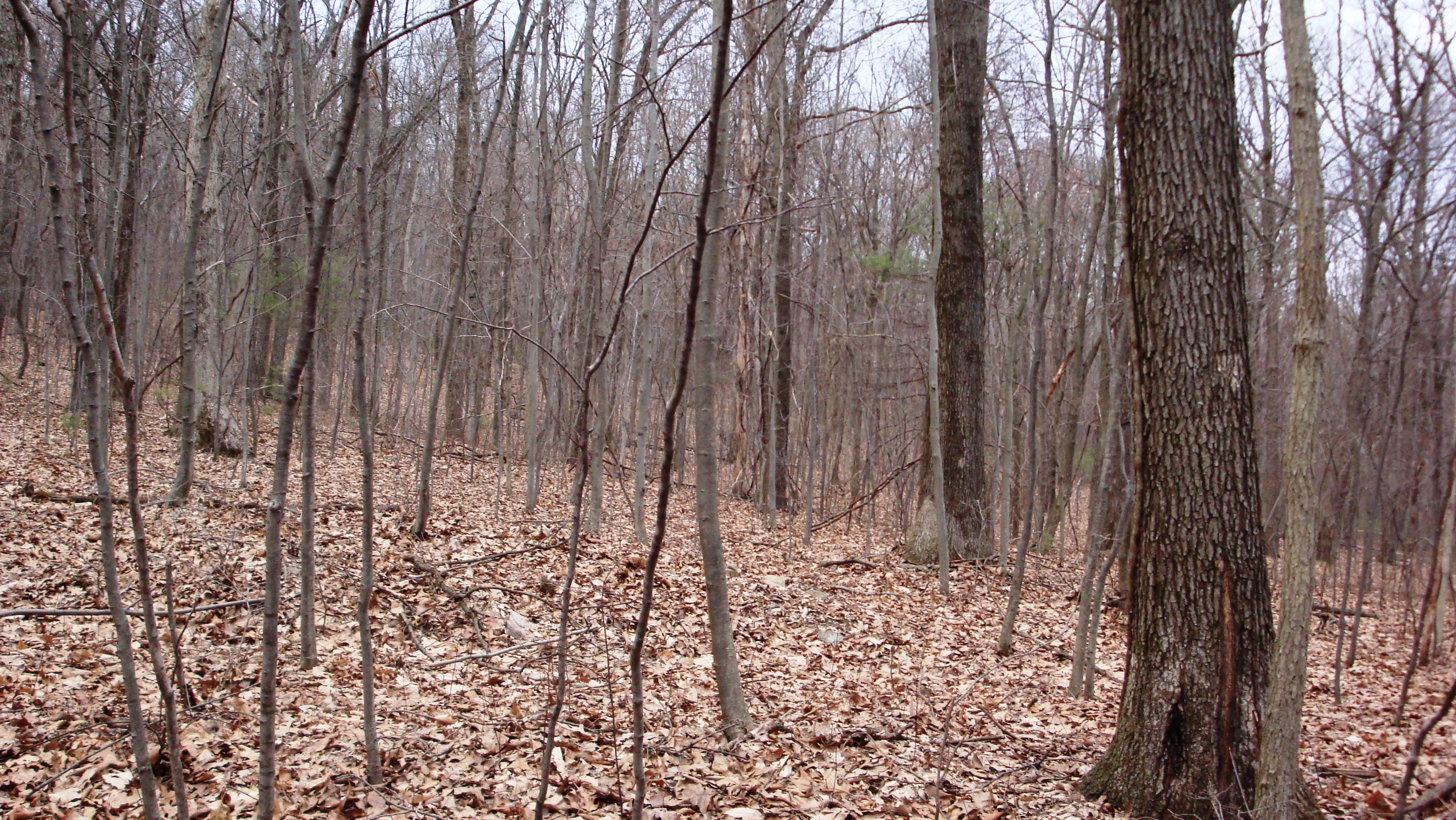
DSCN0136 WP078 Gate on Deans Gap Rd; jct with gated, unmapped woods road
Hidden Valley
1464 Feet Above

Tie Dye Cross Step
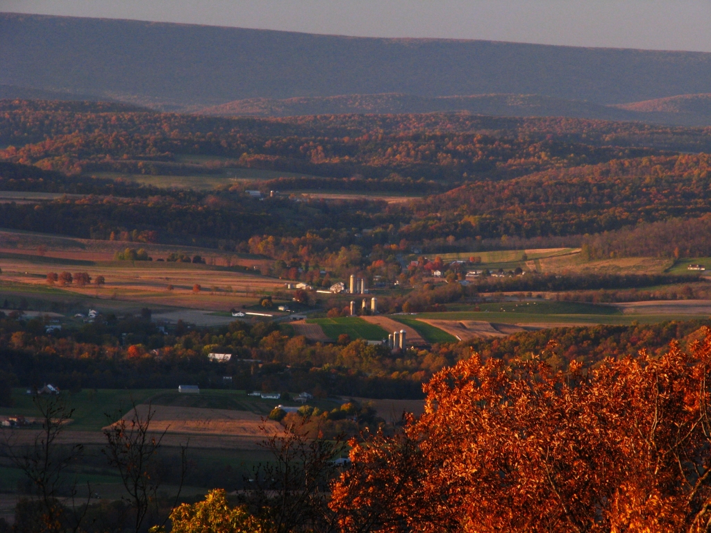
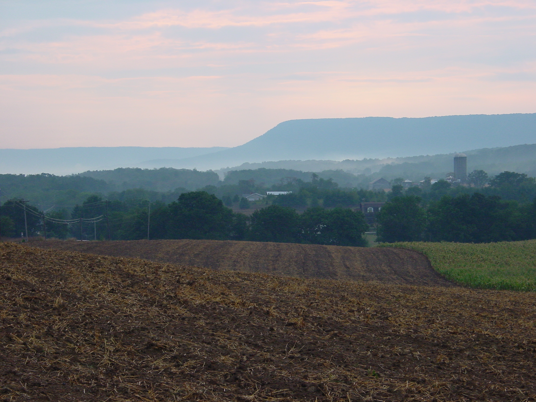
Waggoner's Gap (north view), Blue Mountain, Pennsylvania
View from Waggoner's Gap hawk watch this morning
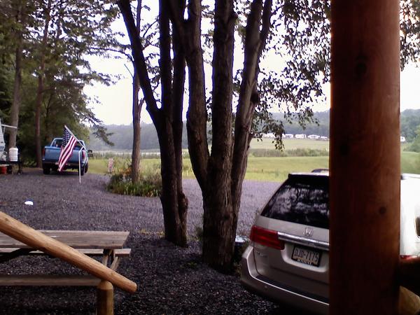
Paradise Stream Family Campground
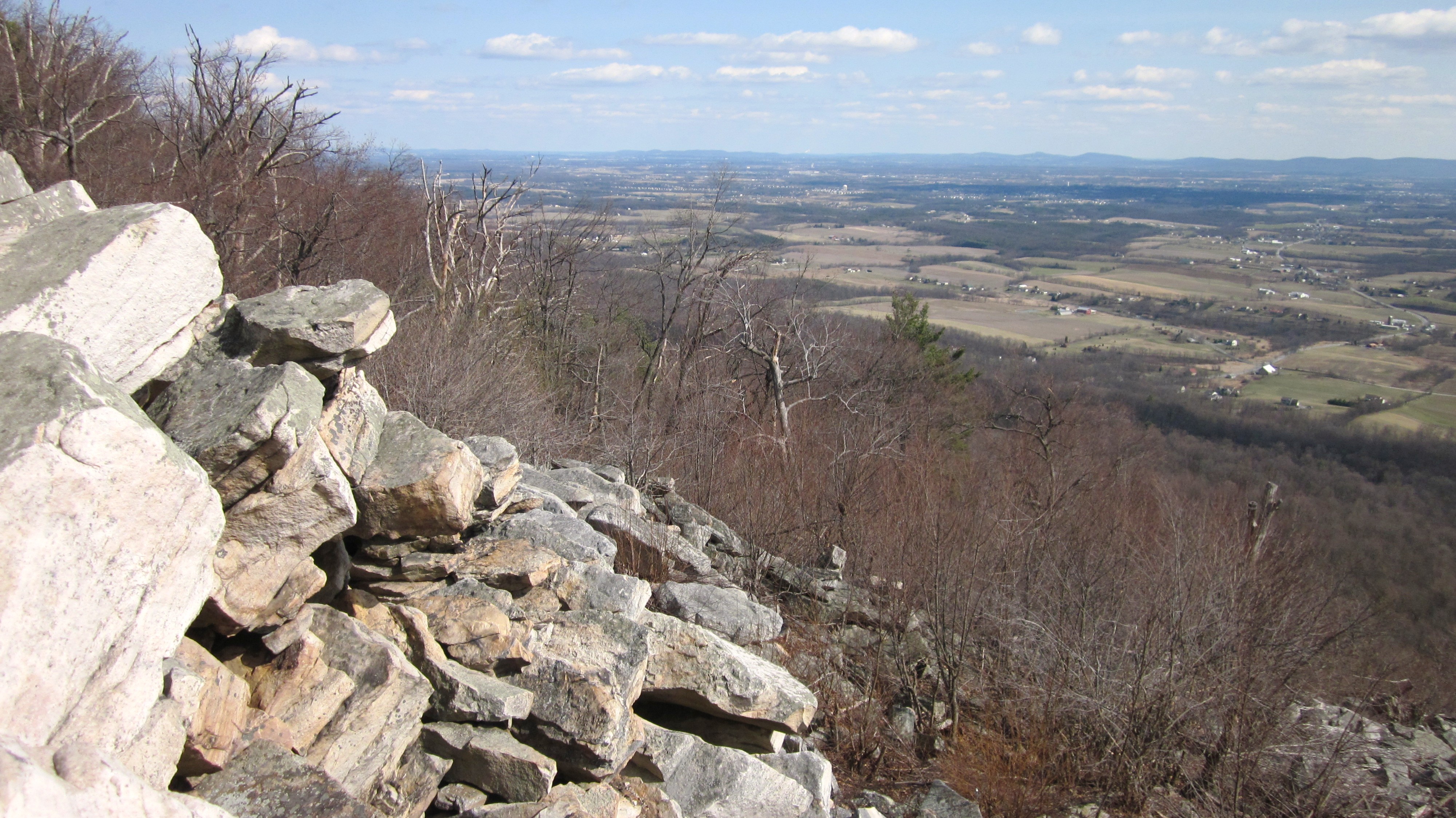
Waggoner's Gap (southeast view), Blue Mountain, Pennsylvania
The Days End
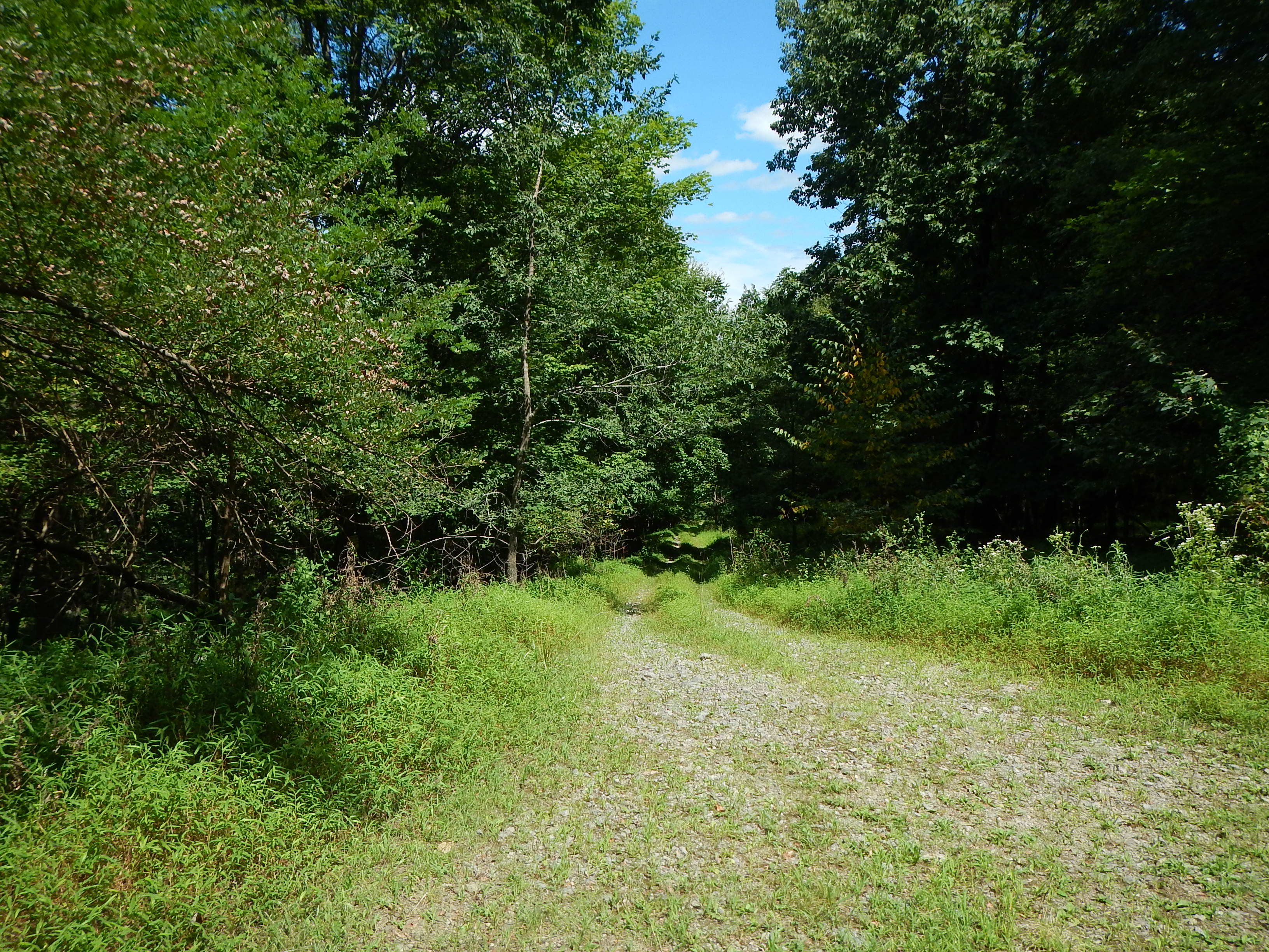
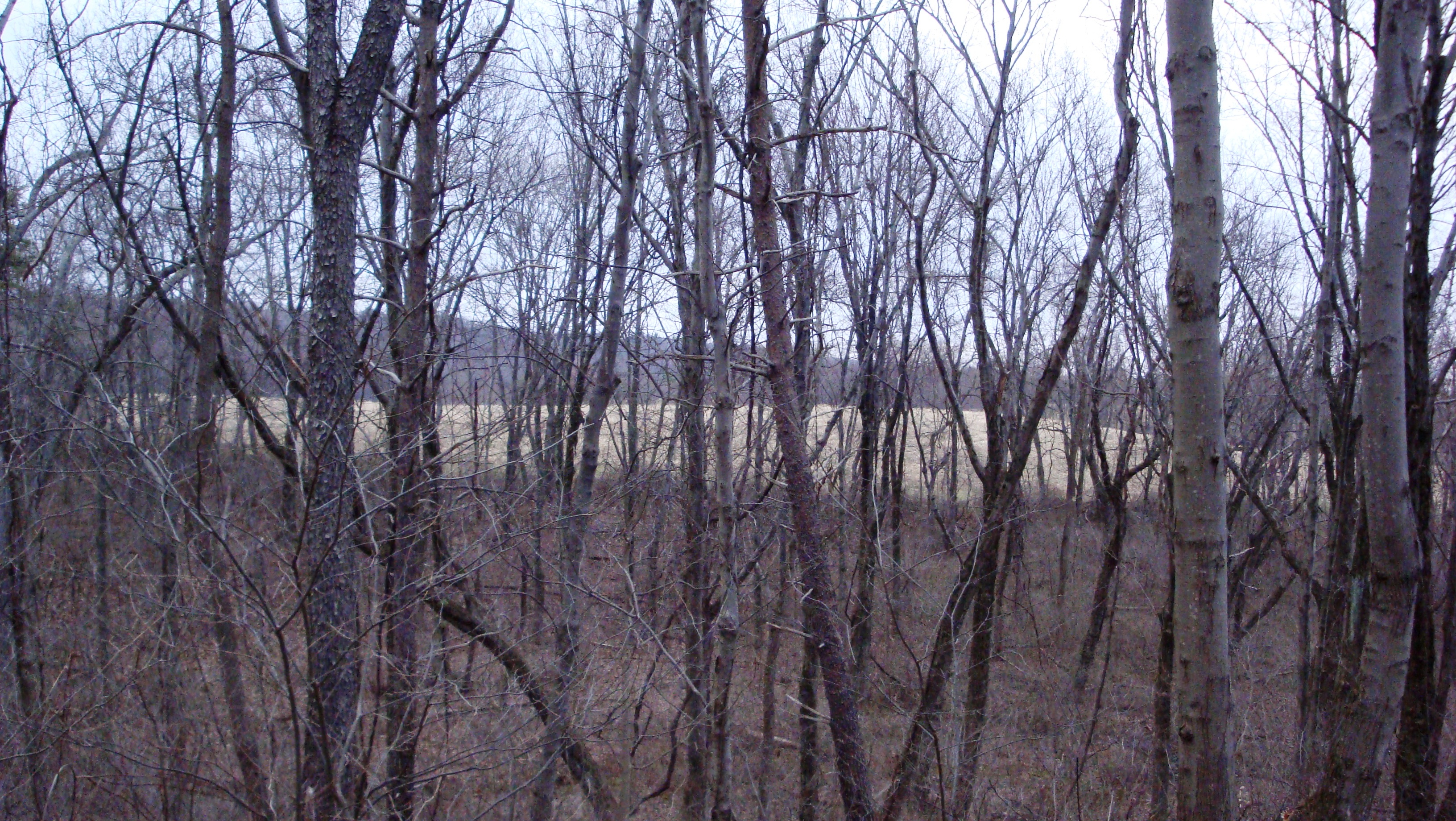
DSCN0209 WP087 Jct with woods road
Doubling Gap
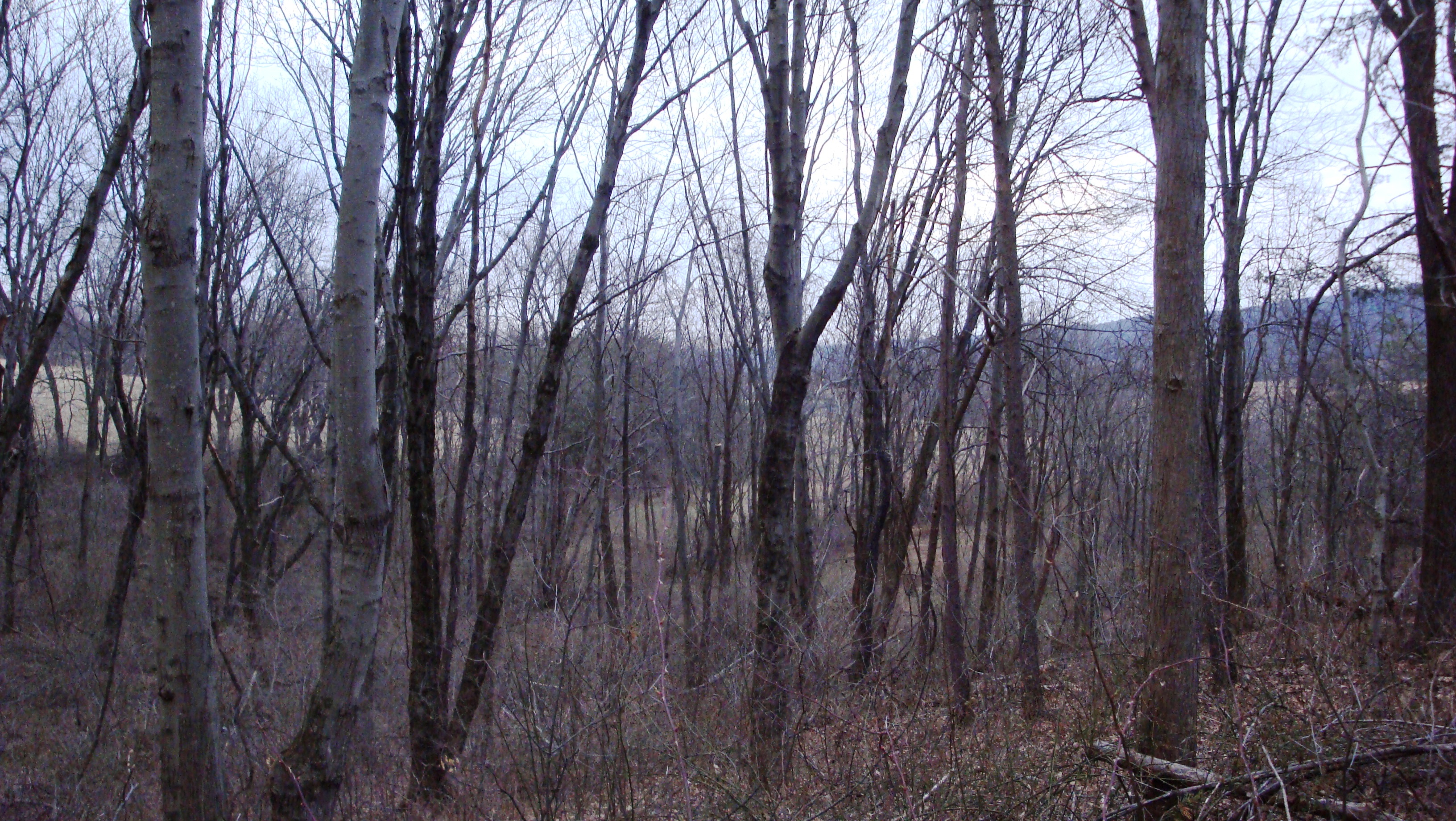
DSCN0218 WP089 Jct with Polecat Rd.
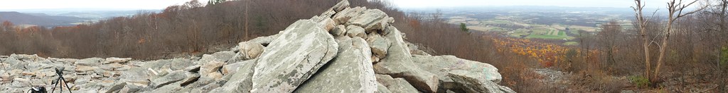
Waggoner's Gap
DSCN0208 WP087 Jct with woods road
Chair with a view
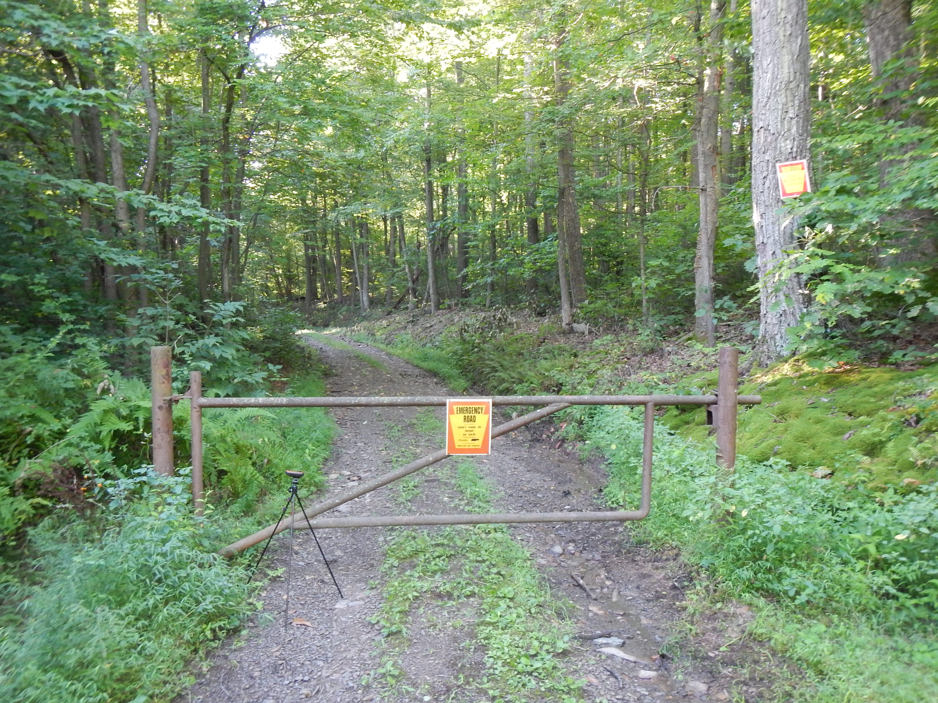
DSCN0134 WP078 Gate on Deans Gap Rd; jct with gated, unmapped woods road
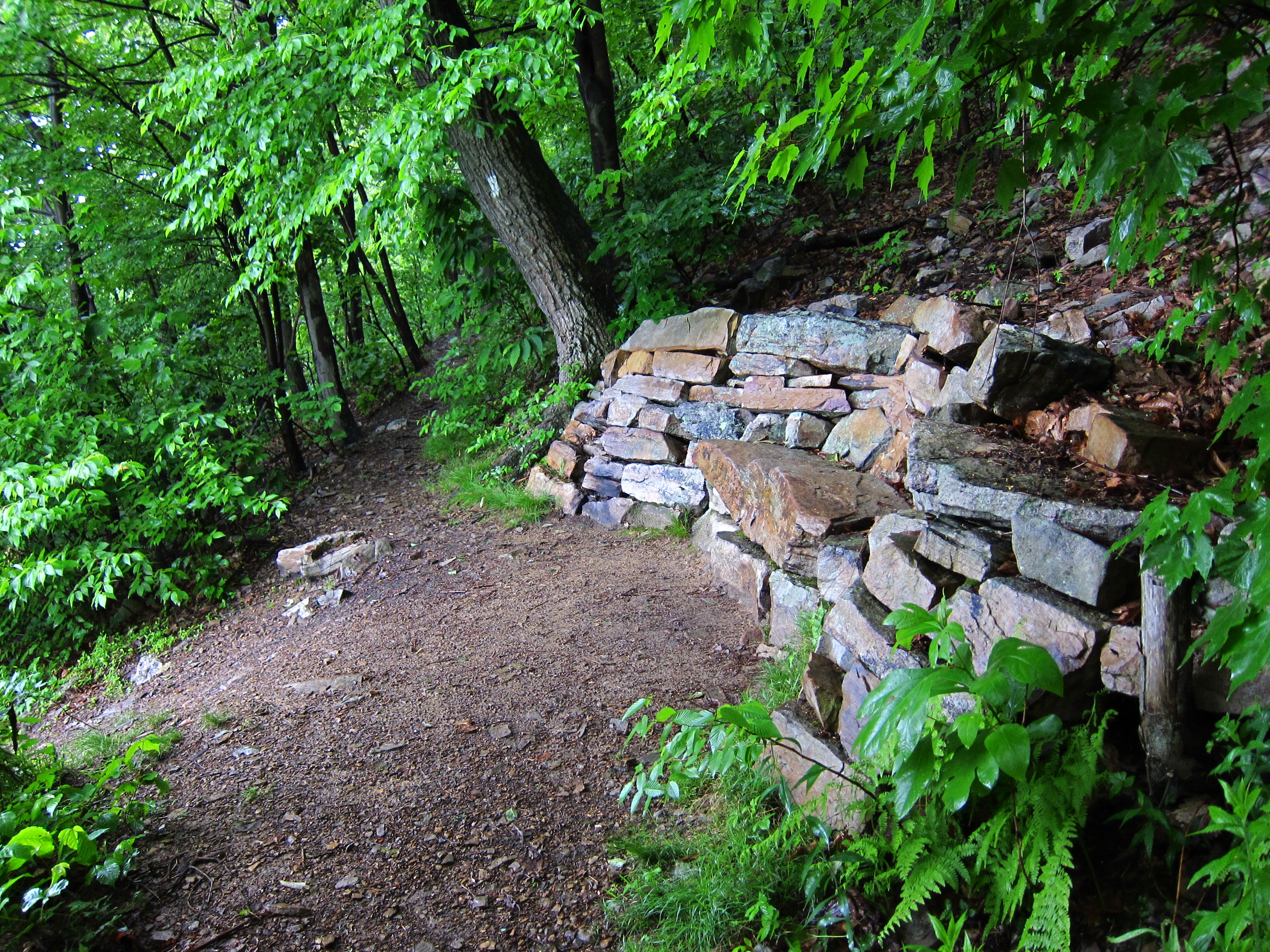
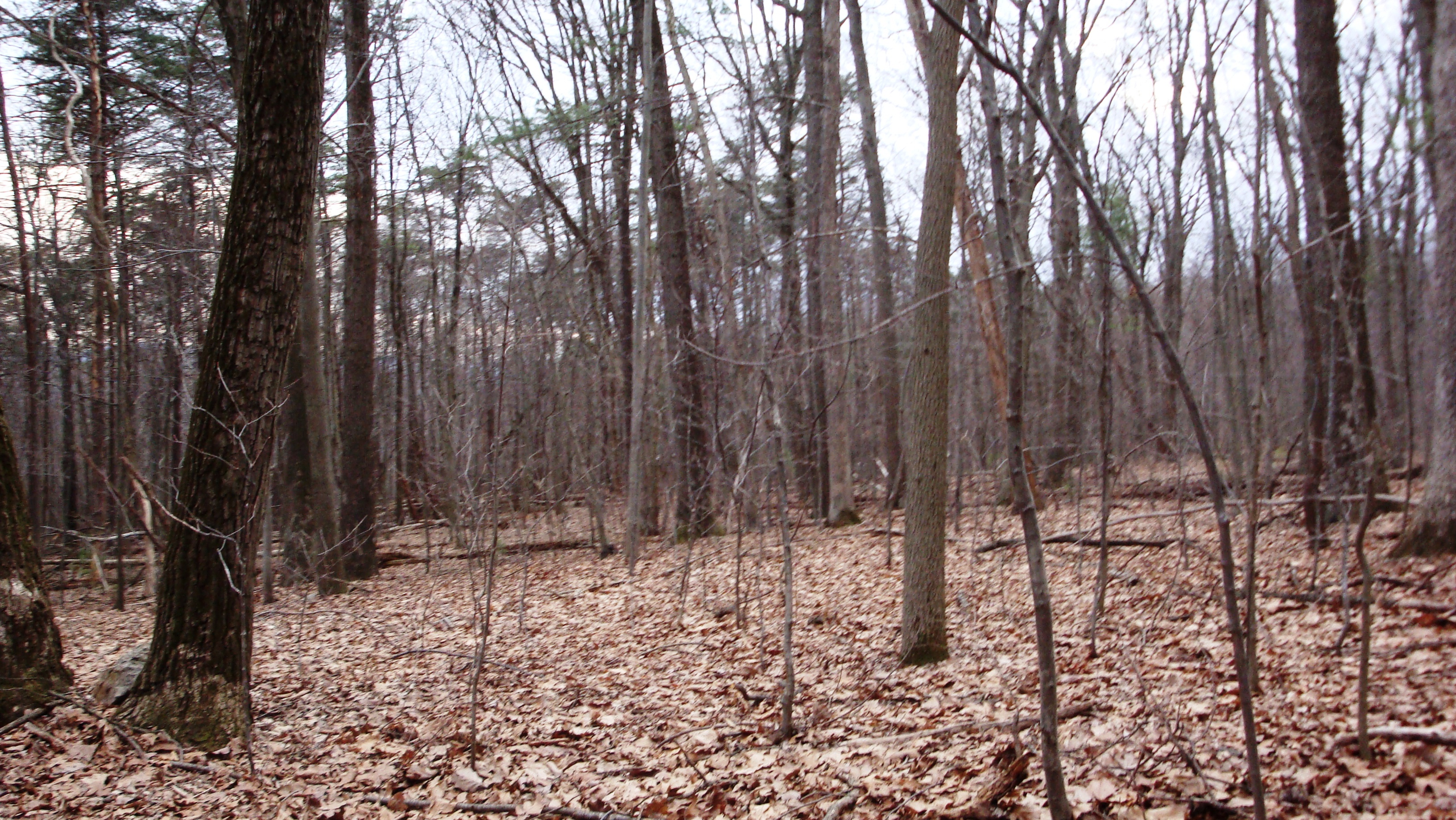
DSCN0194 WP084 Jct TT and Former TT Route, Long's Gap
DSCN0219 WP089 Jct with Polecat Rd.
DSCN0193 WP084 Jct TT and Former TT Route, Long's Gap

This is the swampy end of...
caledonia (6)
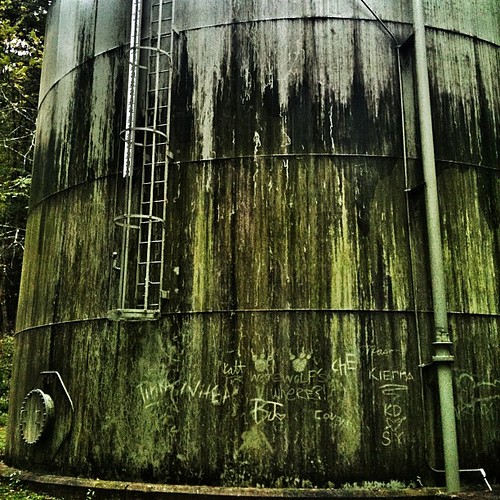
Mossy Water Tower
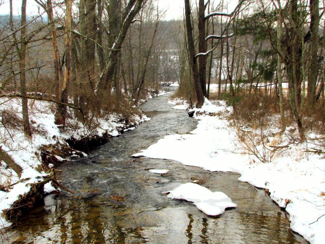
Snowy Creek
.

caledonia (9)
.
Green Valley
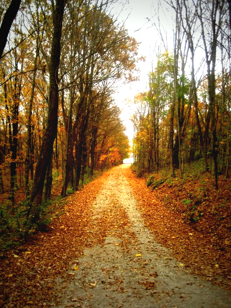
the road home

Little Buffalo State Park PA - 2013-07-24 (172)
.
.
.
.
.

Little Buffalo State Park PA - 2013-07-24 (16)
.

caledonia (26)

Little Buffalo Creek winds between trees in autumn colors at Little Buffalo State Park, Pennsylvania.
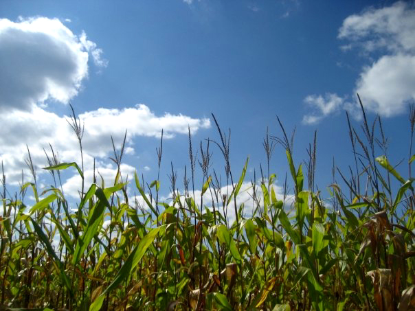
Country Crops

Golden Light
Topographic Map of Perry County, PA, USA
Find elevation by address:

Places in Perry County, PA, USA:
Juniata Township
Spring Township
Liverpool Township
Saville Township
Duncannon
Newport
Miller Township
Carroll Township
Greenwood Township
Blain
Centre Township
Buffalo Township
Oliver Township
Wheatfield Township
Landisburg
Tyrone Township
85 Paradise Rd, Duncannon, PA, USA
New Bloomfield
Millerstown
Marysville
New Buffalo
Howe Township
Horse Valley Road
Tuscarora Township
Rye Township
Places near Perry County, PA, USA:
16 Rock Ledge Ln
16 Rock Ledge Ln
Spring Township
Waggoners Gap Rd, Landisburg, PA, USA
Elliottsburg
6565 Waggoners Gap Rd
2608 Shermans Valley Rd
West Perry Senior High School
Mannsville Rd, Elliottsburg, PA, USA
208 Green Park Rd
208 Green Park Rd
208 Green Park Rd
208 Green Park Rd
New Bloomfield
Landisburg
Carroll Township
282 Kennedy Valley Rd
537 Hetrick Ln
4 Windy Hill Rd, Shermans Dale, PA, USA
Shermans Dale
Recent Searches:
- Elevation of Corso Fratelli Cairoli, 35, Macerata MC, Italy
- Elevation of Tallevast Rd, Sarasota, FL, USA
- Elevation of 4th St E, Sonoma, CA, USA
- Elevation of Black Hollow Rd, Pennsdale, PA, USA
- Elevation of Oakland Ave, Williamsport, PA, USA
- Elevation of Pedrógão Grande, Portugal
- Elevation of Klee Dr, Martinsburg, WV, USA
- Elevation of Via Roma, Pieranica CR, Italy
- Elevation of Tavkvetili Mountain, Georgia
- Elevation of Hartfords Bluff Cir, Mt Pleasant, SC, USA