Elevation of 16 Rock Ledge Ln, New Bloomfield, PA, USA
Location: United States > Pennsylvania > Perry County > New Bloomfield >
Longitude: -77.238494
Latitude: 40.3879686
Elevation: 298m / 978feet
Barometric Pressure: 98KPa
Elevation Map:
Satellite Map:
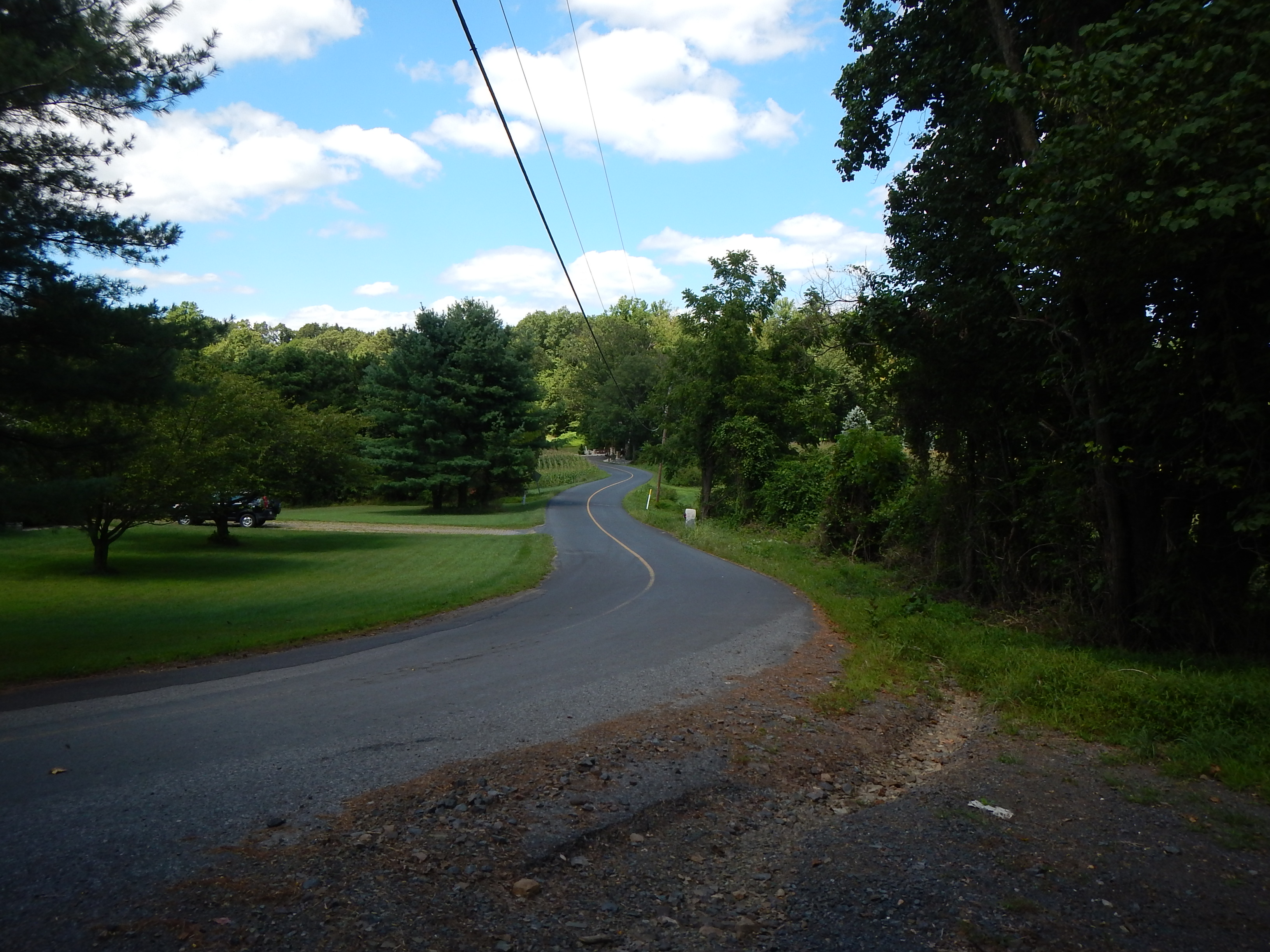
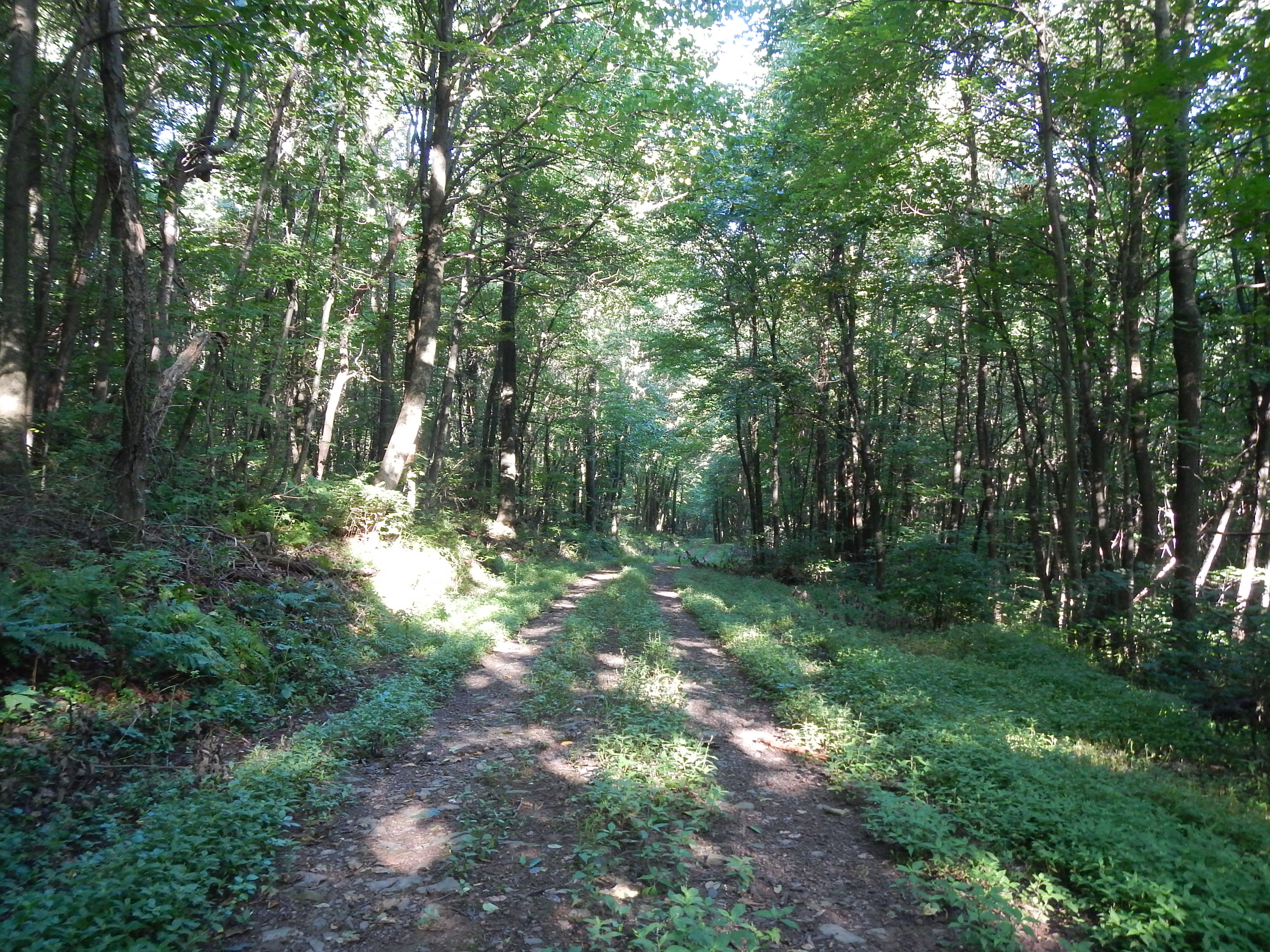
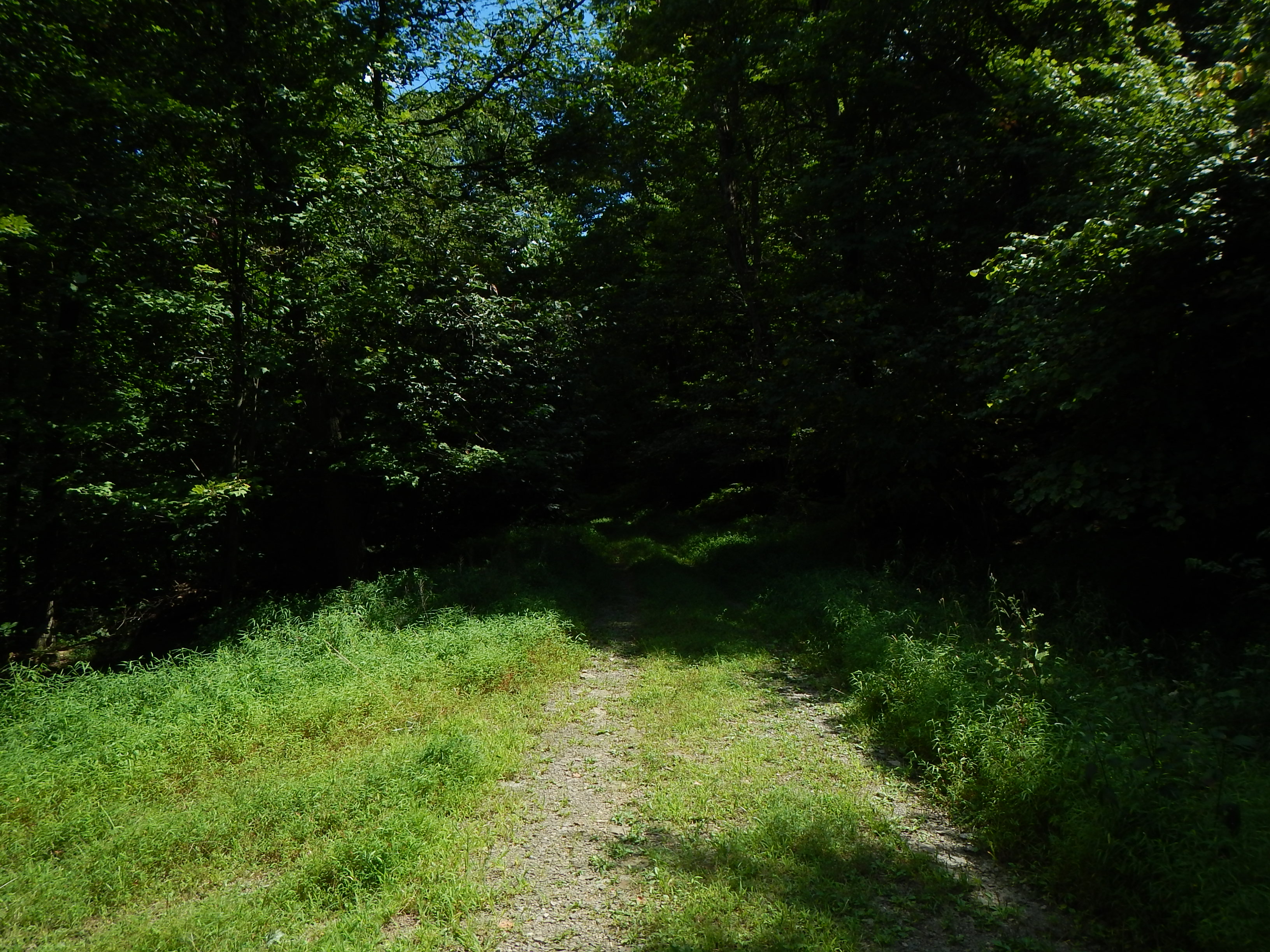
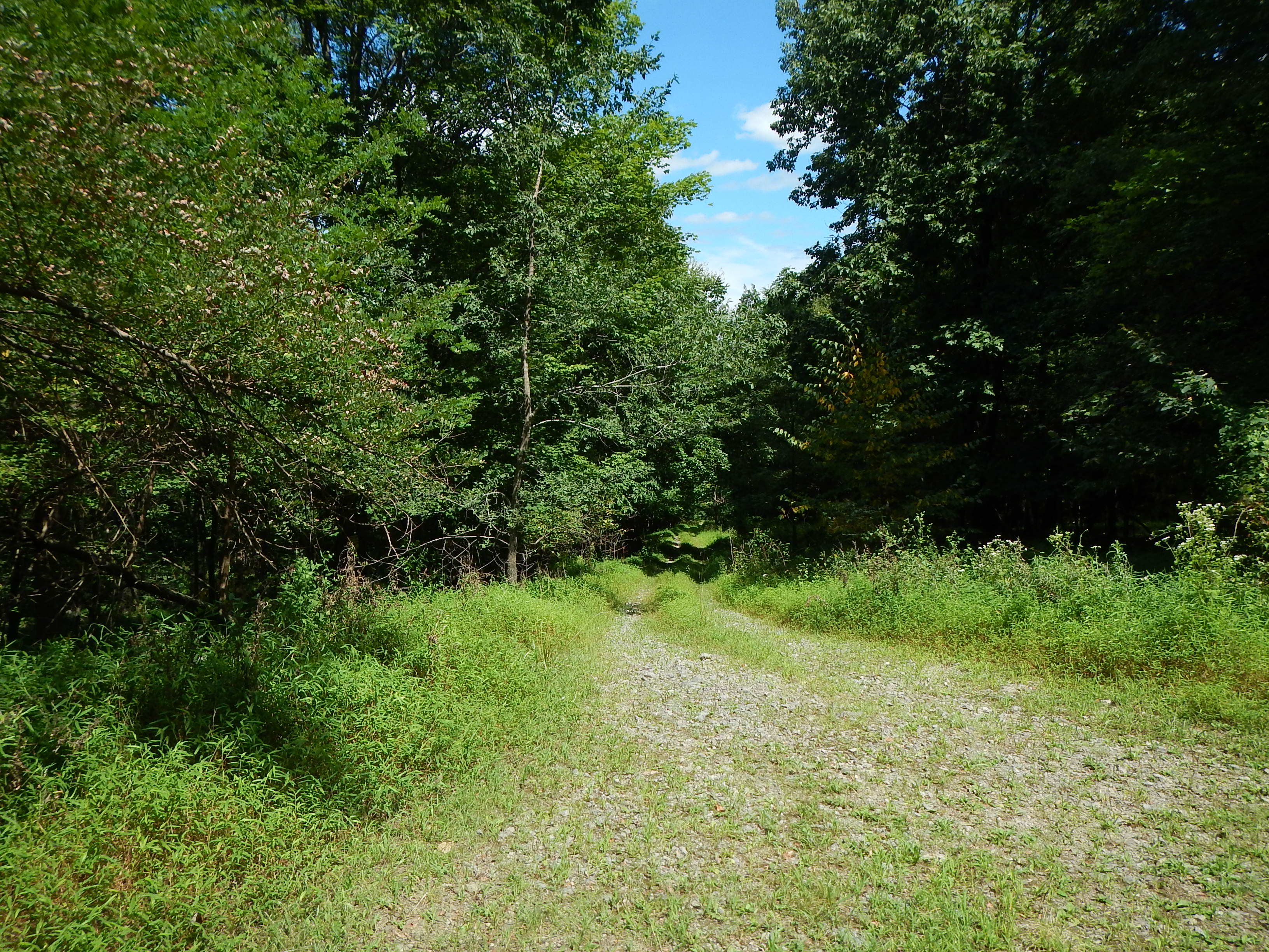
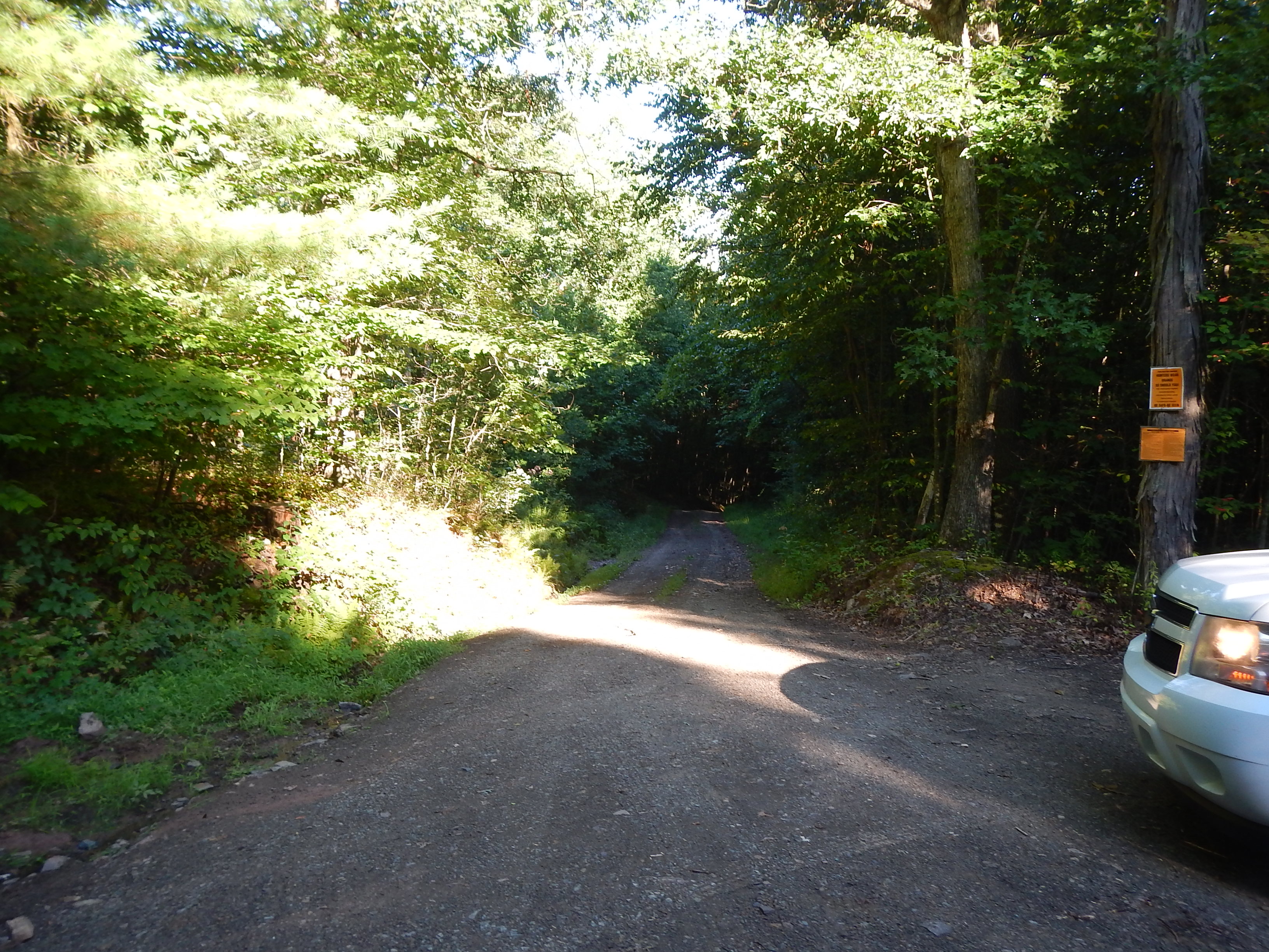
Related Photos:
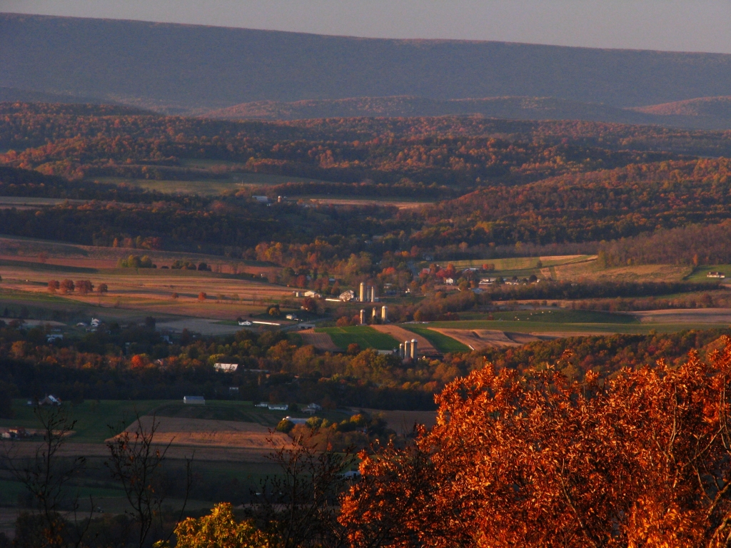
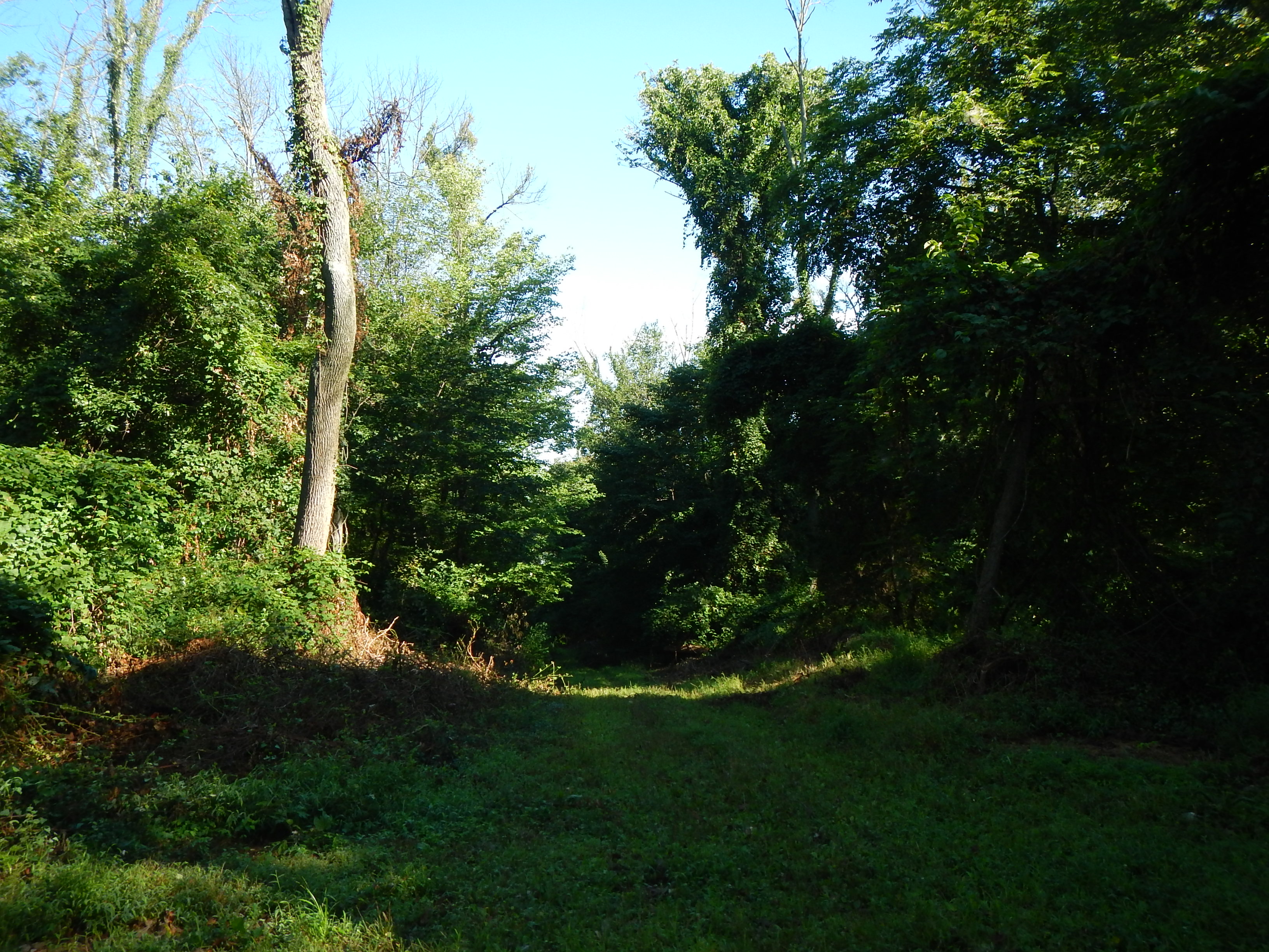
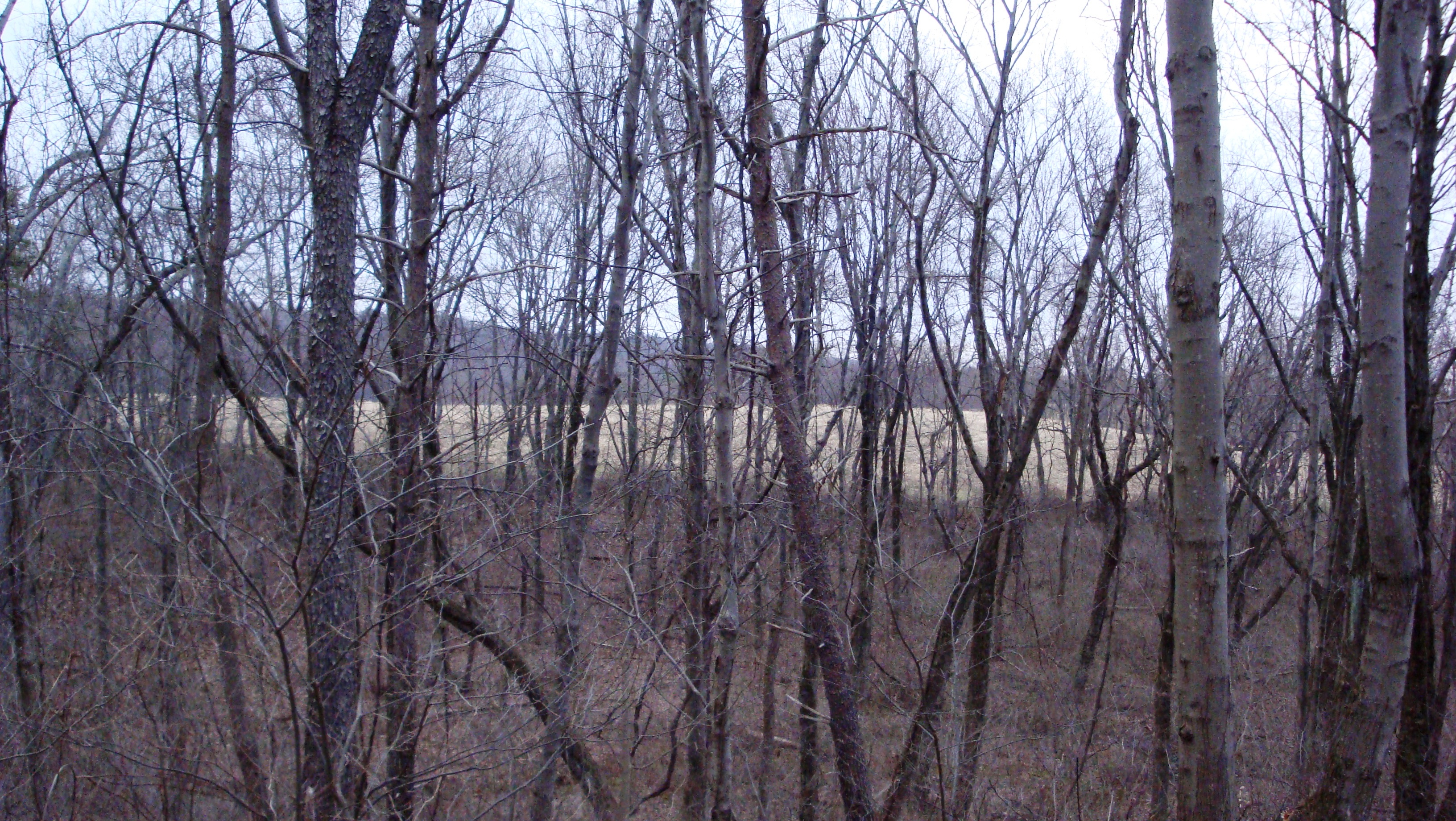
Hidden Valley
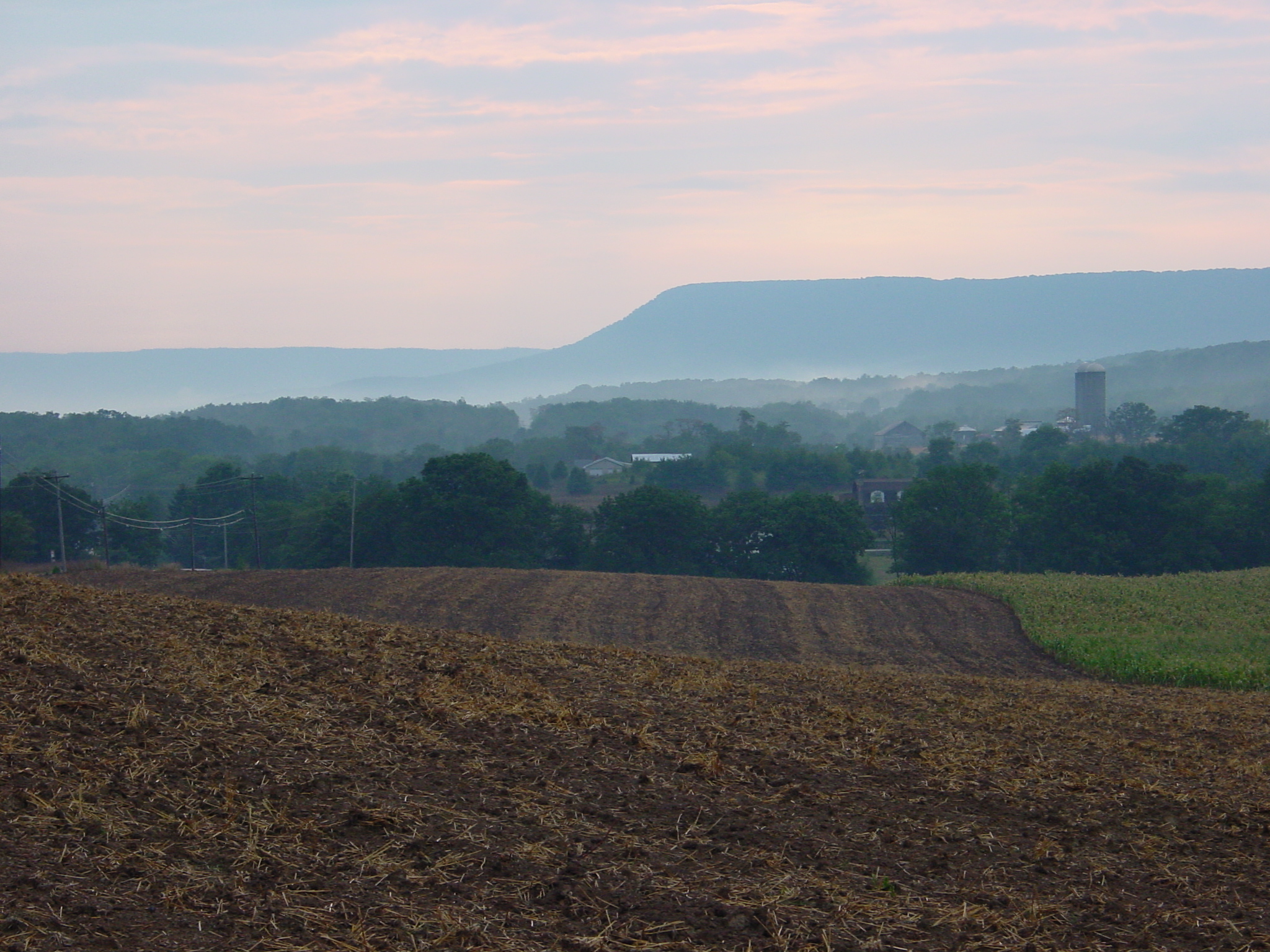
Doubling Gap
Waggoner’s Gap
Waggoner’s Gap
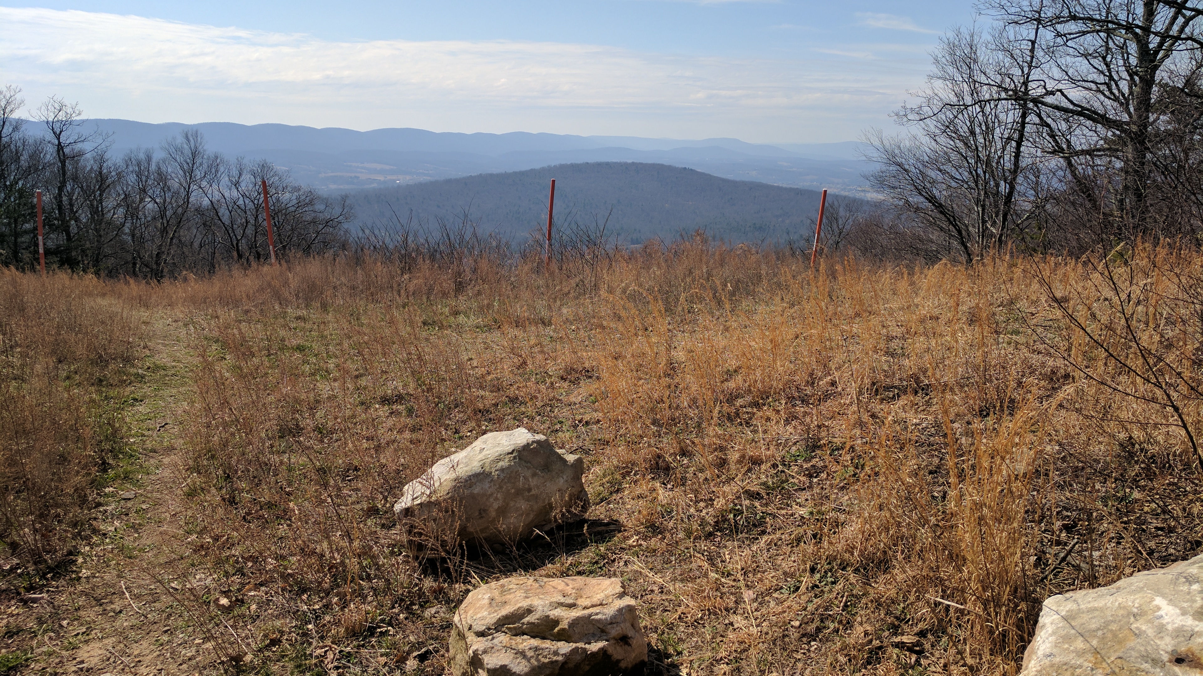
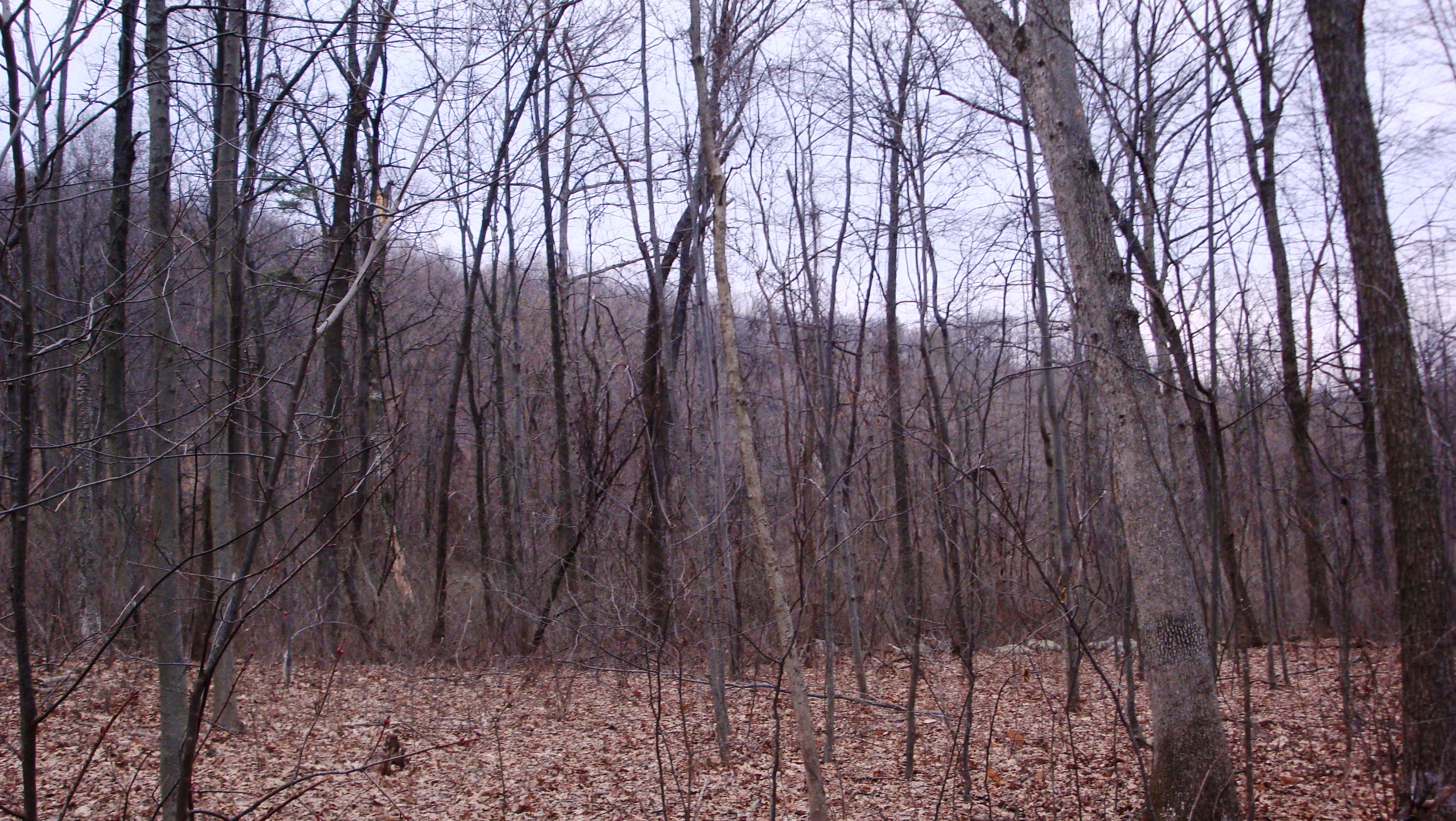
View at Pipeline Clearing
The Days End
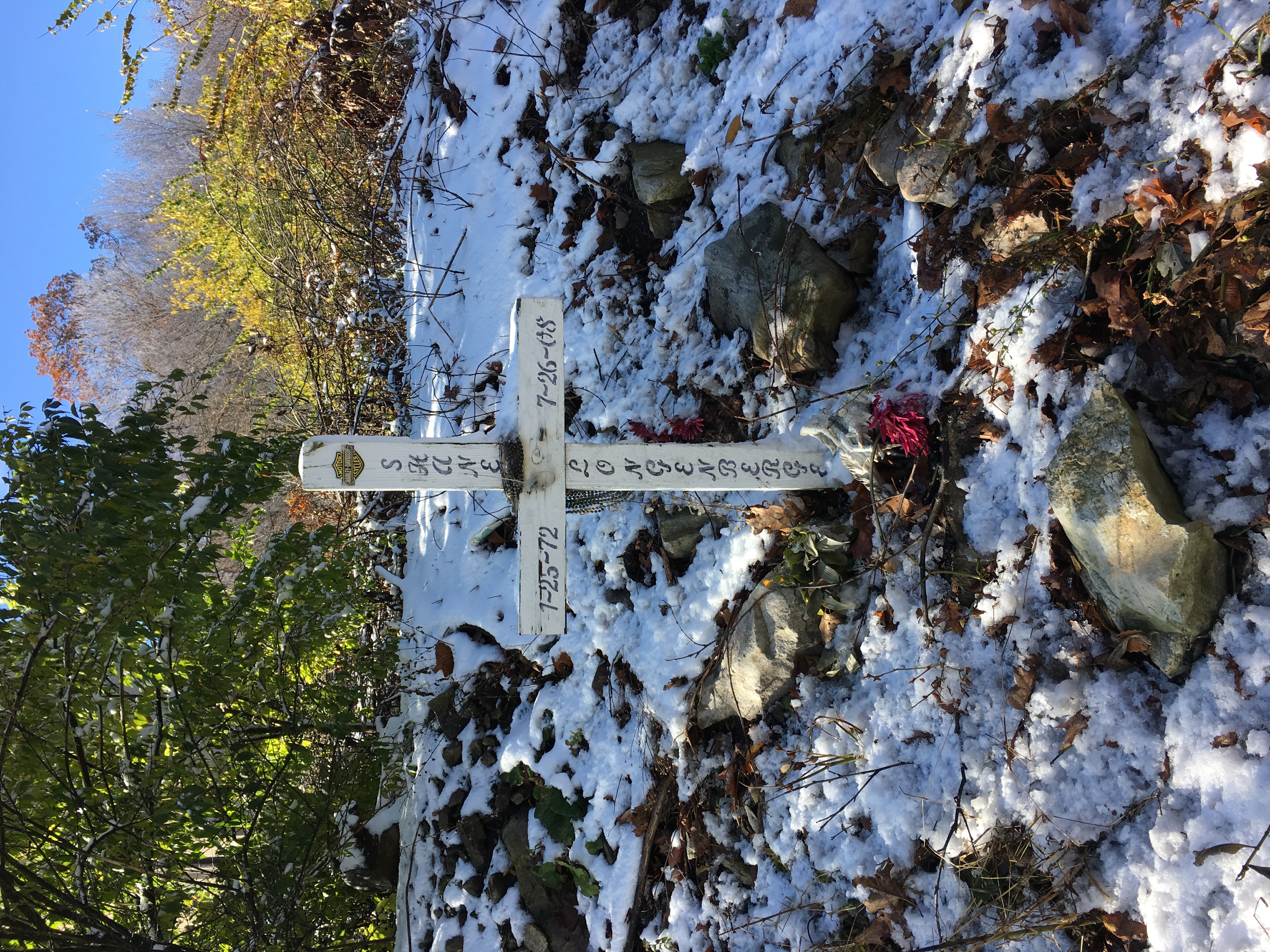
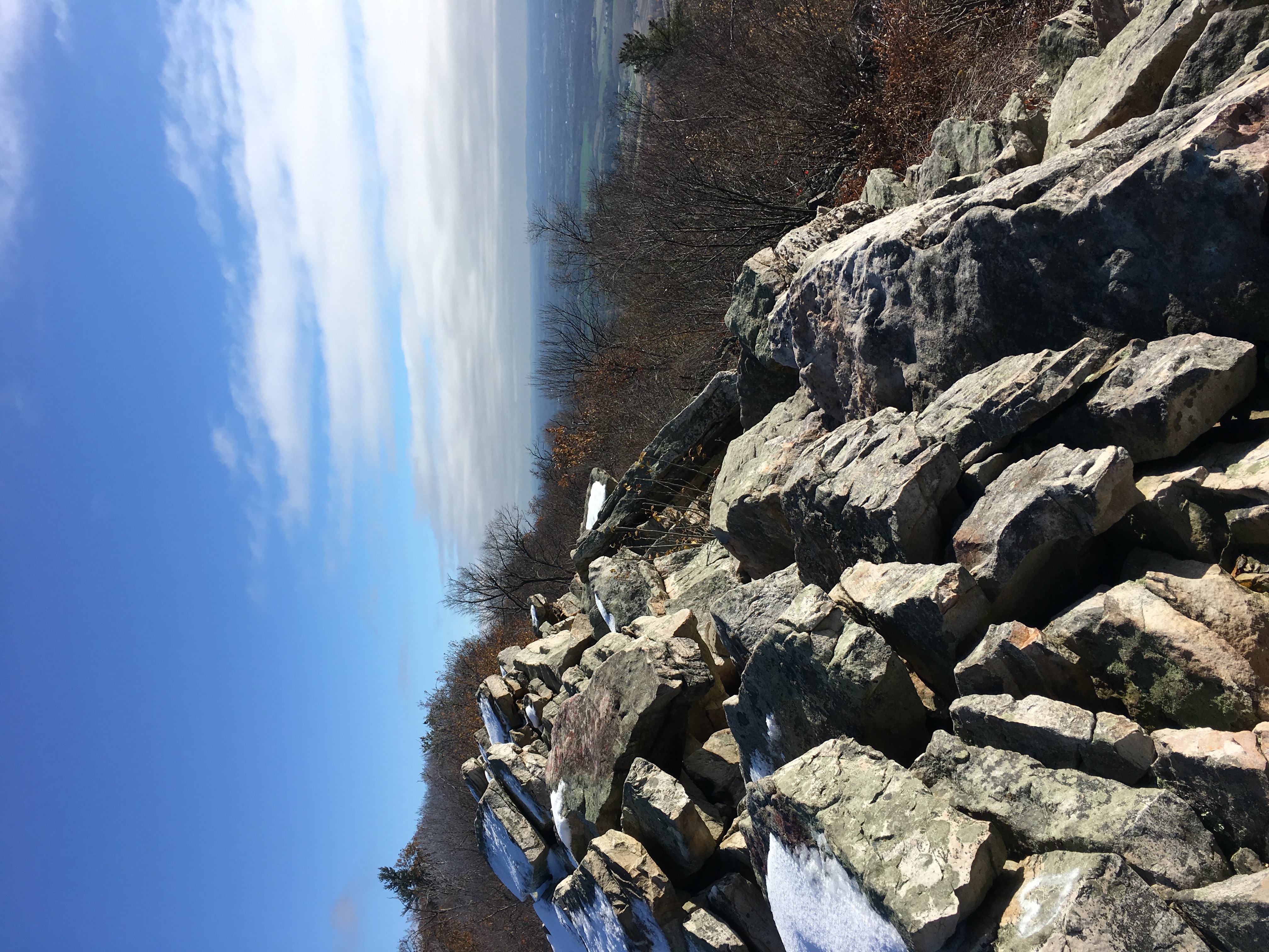
Waggoner's Gap memorial
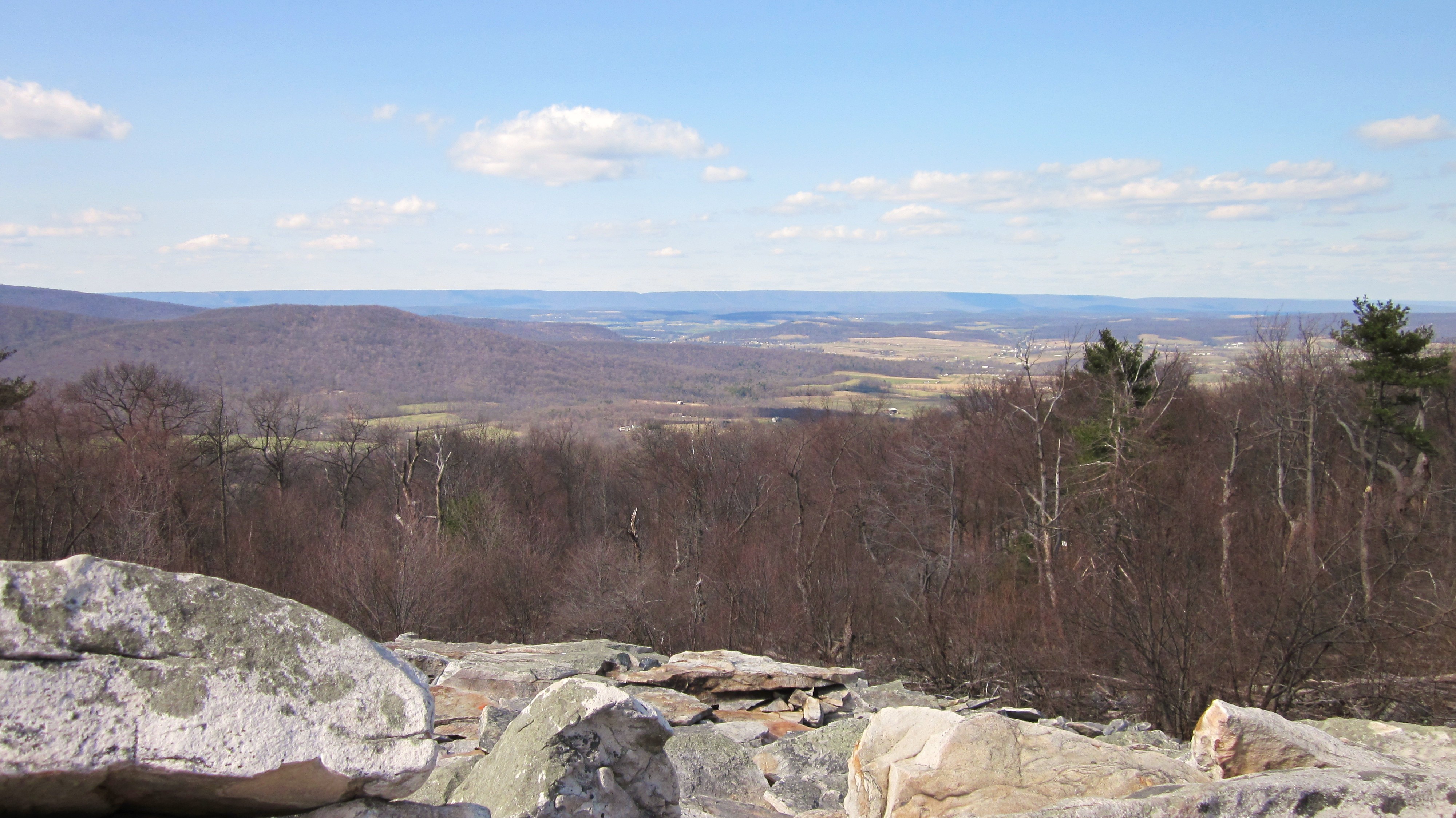
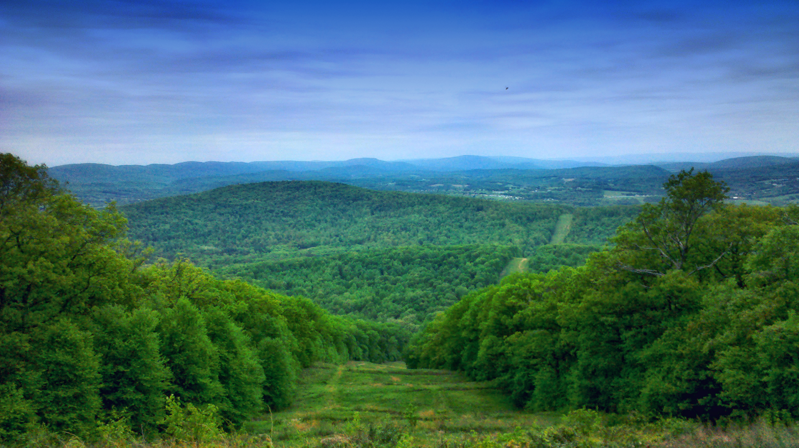
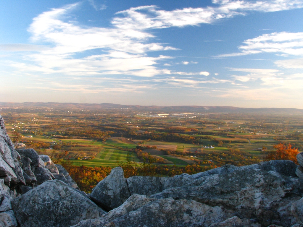
Waggoner's Gap (north view), Blue Mountain, Pennsylvania
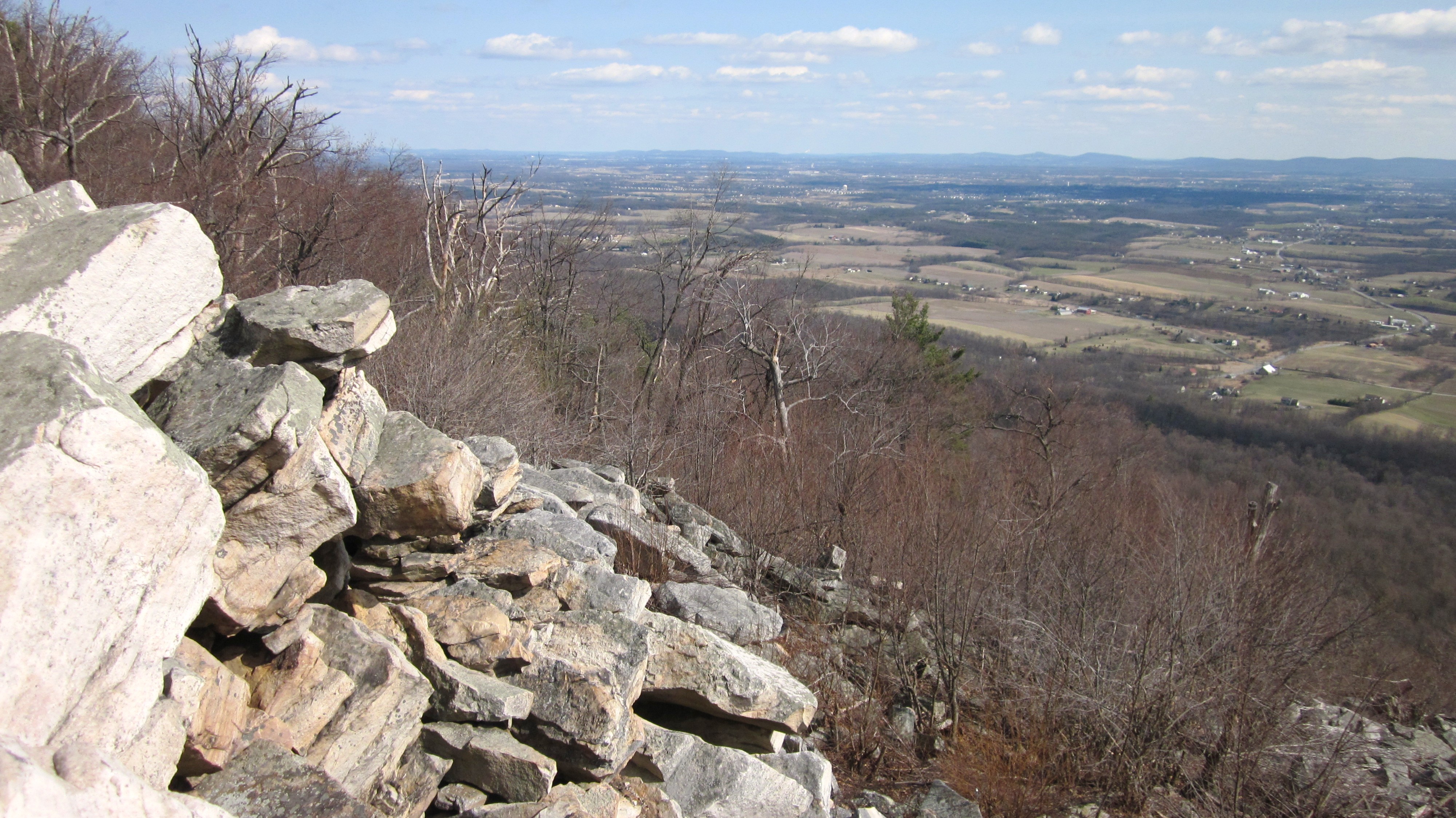
Waggoner's Gap (southeast view), Blue Mountain, Pennsylvania
DSCN0219 WP089 Jct with Polecat Rd.
Waggoner’s Gap
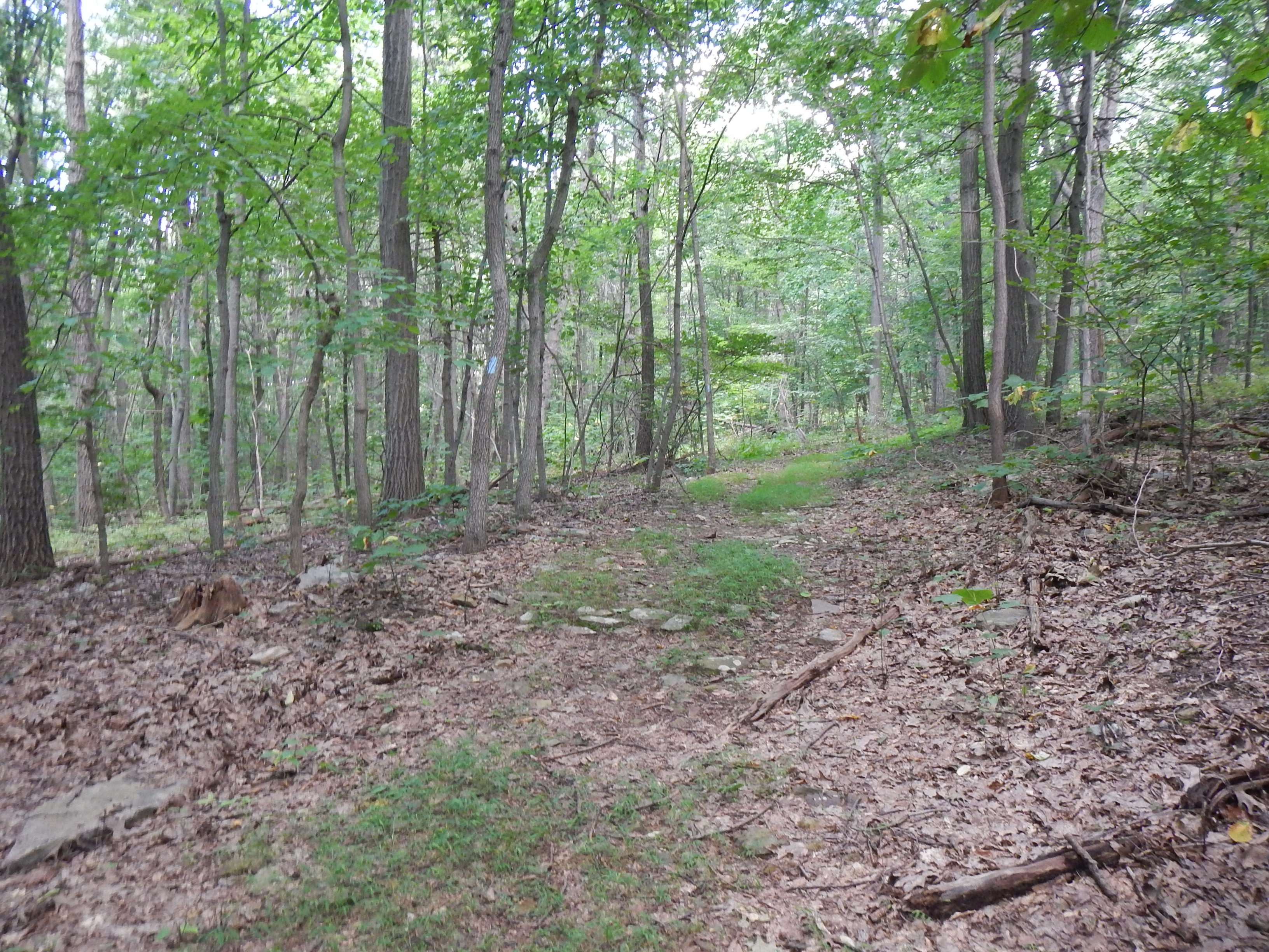
DSCN0193 WP084 Jct TT and Former TT Route, Long's Gap
DSCN0218 WP089 Jct with Polecat Rd.
DSCN0146 WP079 Jct Deans Gap Rd. with gated, unmapped woods road
DSCN0209 WP087 Jct with woods road
DSCN0208 WP087 Jct with woods road
DSCN0154 WP080 Jct Deans Gap Rd. and TT in Deans Gap
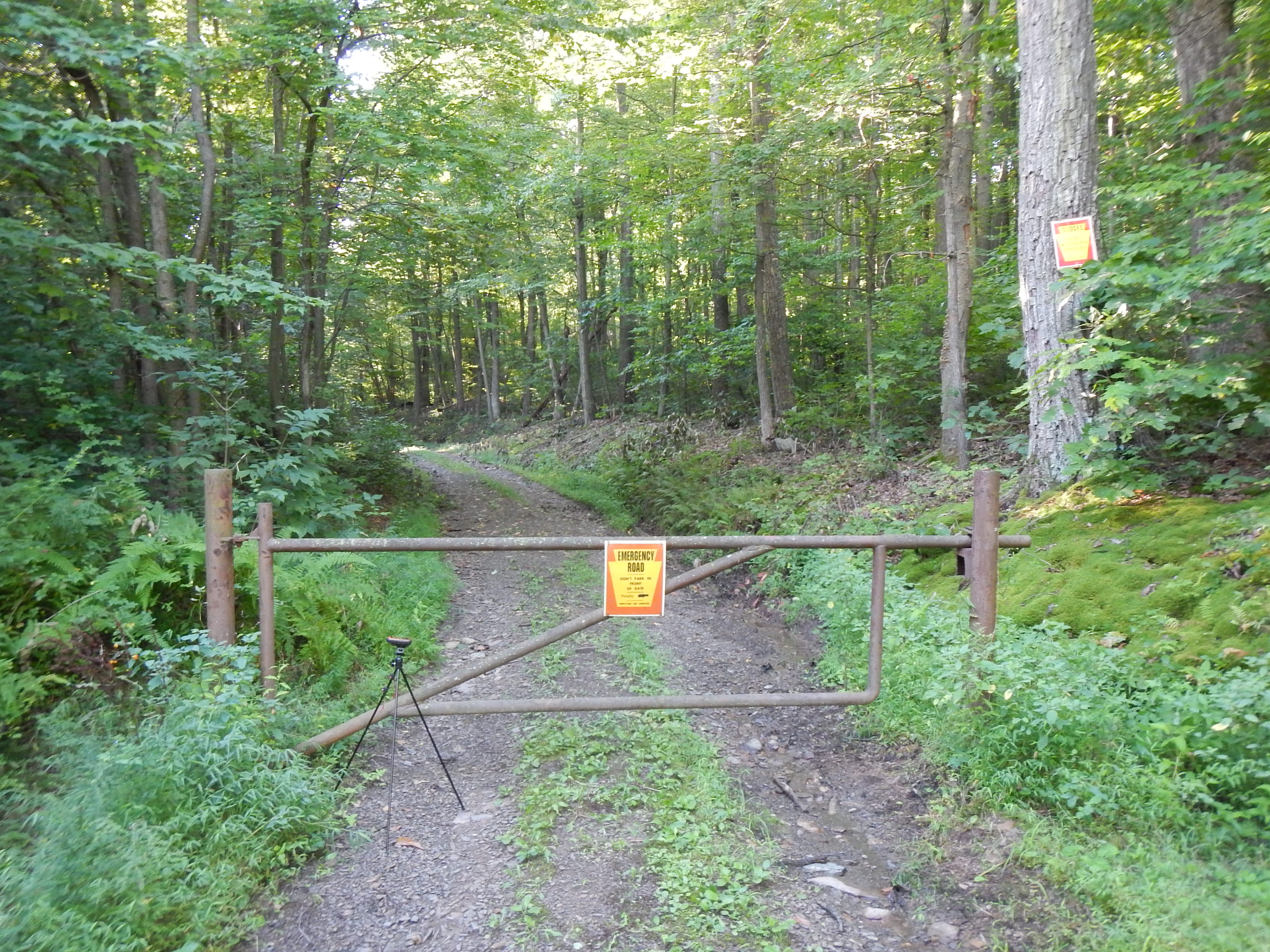
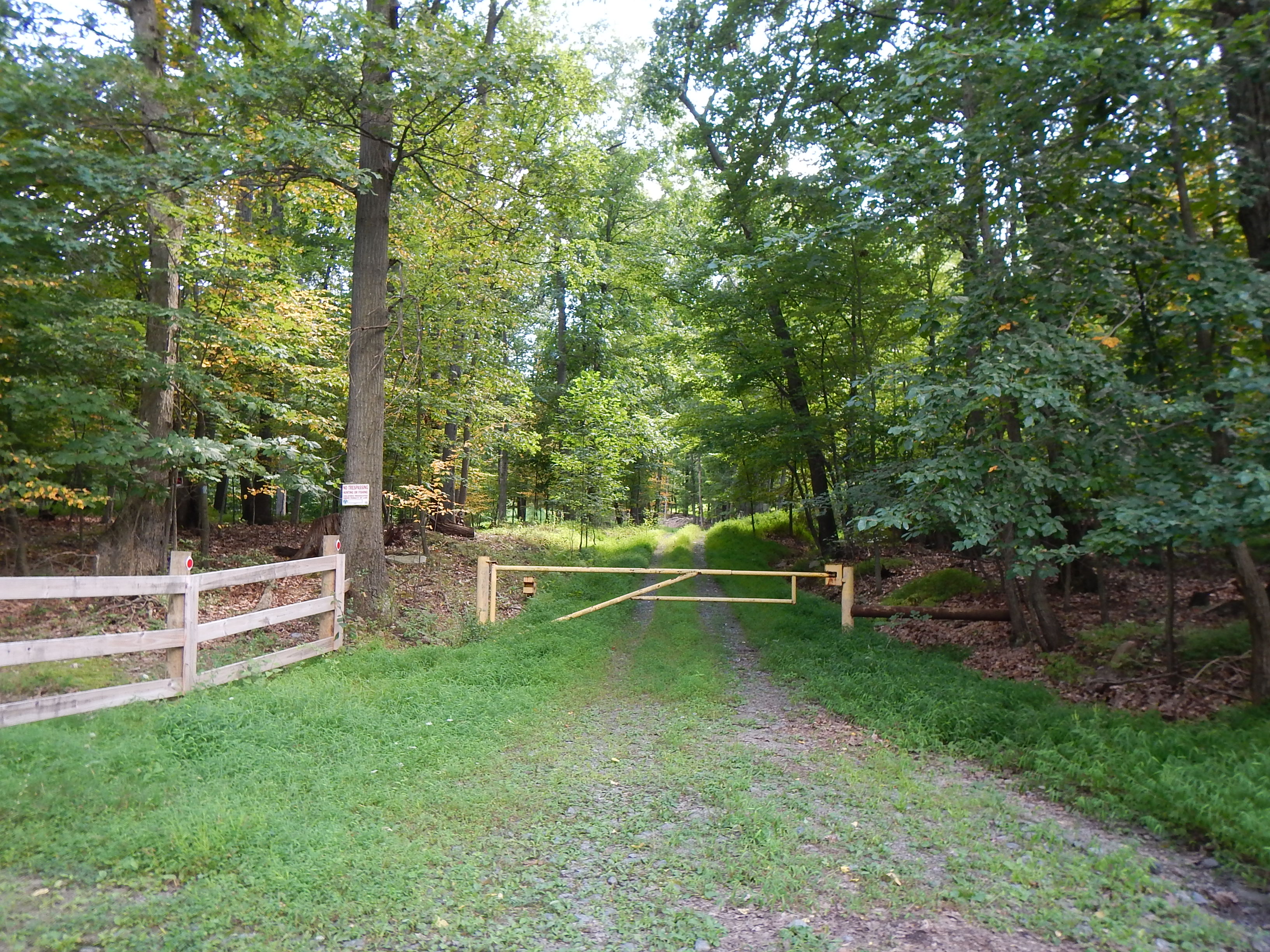
DSCN0134 WP078 Gate on Deans Gap Rd; jct with gated, unmapped woods road
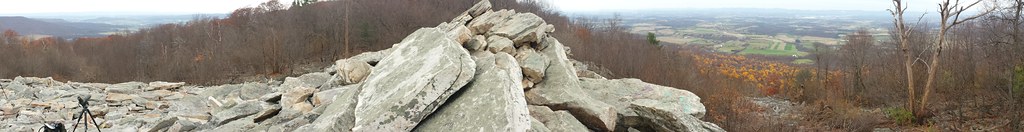
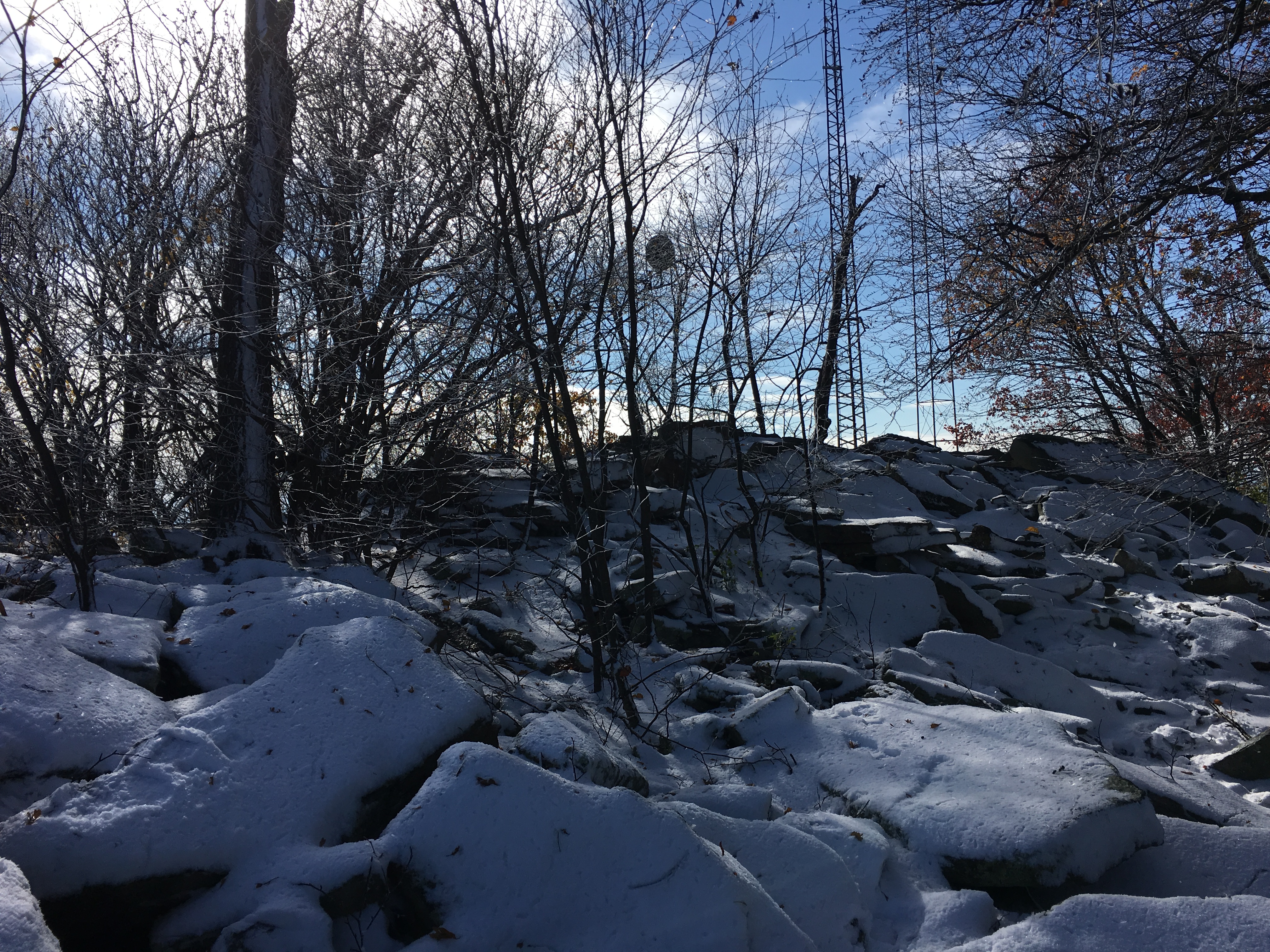
View from Waggoner's Gap hawk watch this morning
DSCN0194 WP084 Jct TT and Former TT Route, Long's Gap
DSCN0136 WP078 Gate on Deans Gap Rd; jct with gated, unmapped woods road

Little Buffalo Creek winds between trees in autumn colors at Little Buffalo State Park, Pennsylvania.
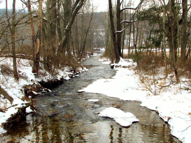
Snowy Creek
.

A creek is by a raised, flat trail surrounded by trees at Little Buffalo State Park, Pennsylvania.

This is the swampy end of...
.
.
.
Green Valley
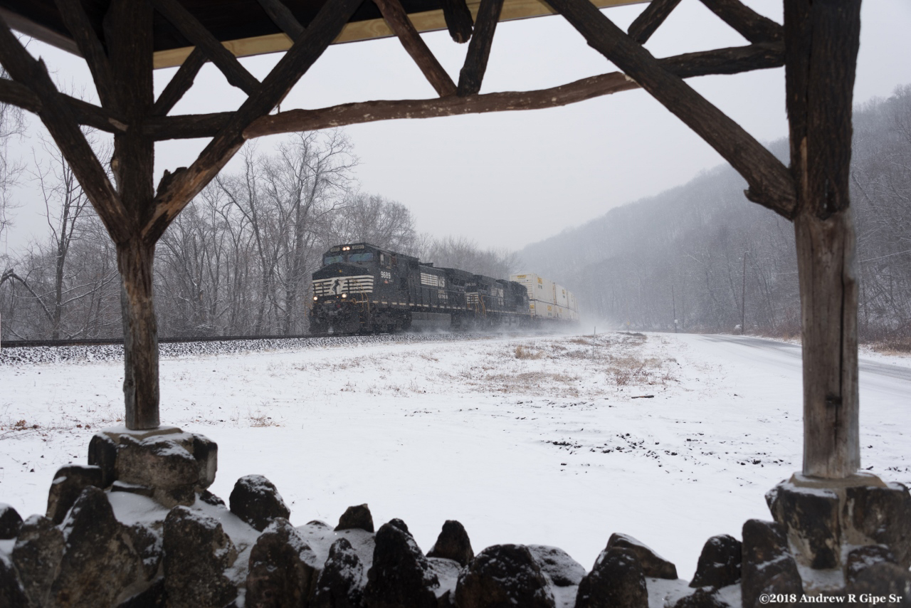
NS 23Z wb at MP:PT131!

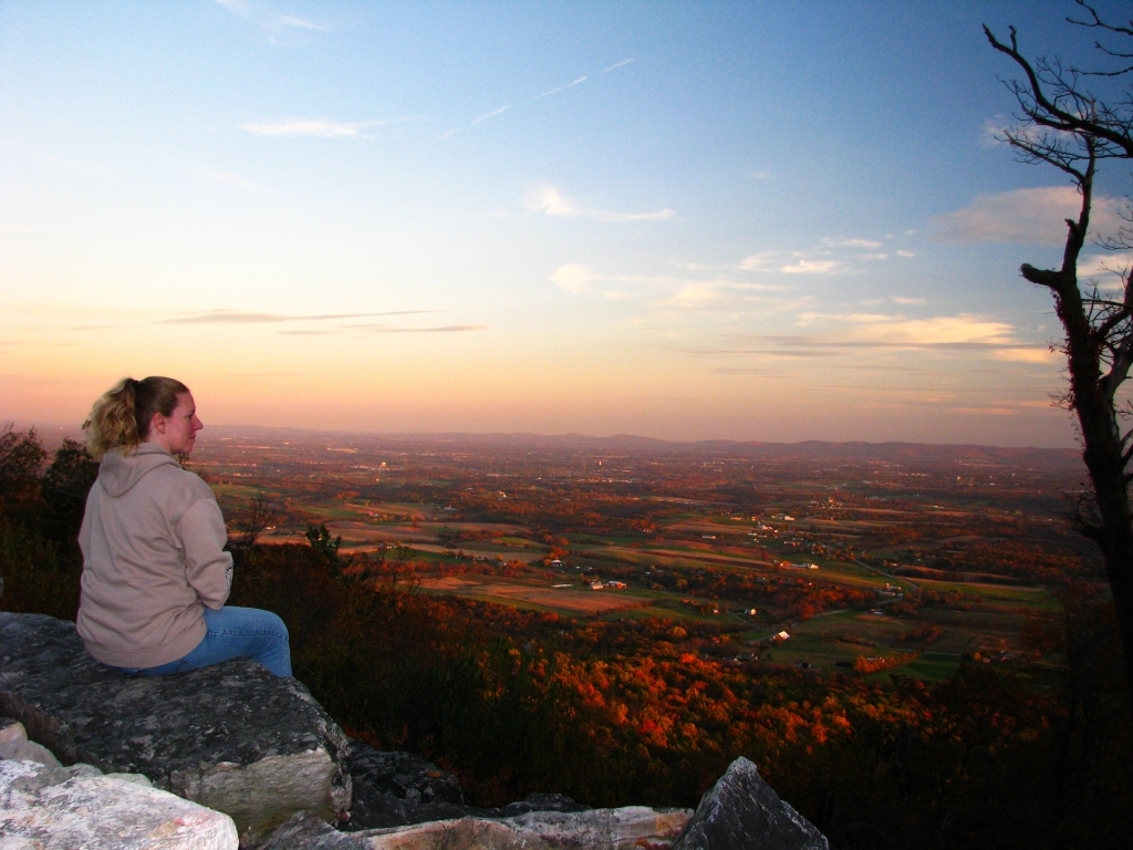
Sunset In The Valley
.
.
1464 Feet Above
.
.
.
waves of gold

farm spring landscape
.
Topographic Map of 16 Rock Ledge Ln, New Bloomfield, PA, USA
Find elevation by address:

Places near 16 Rock Ledge Ln, New Bloomfield, PA, USA:
16 Rock Ledge Ln
Perry County
Spring Township
Mannsville Rd, Elliottsburg, PA, USA
Elliottsburg
Waggoners Gap Rd, Landisburg, PA, USA
6565 Waggoners Gap Rd
New Bloomfield
2608 Shermans Valley Rd
West Perry Senior High School
537 Hetrick Ln
208 Green Park Rd
208 Green Park Rd
208 Green Park Rd
208 Green Park Rd
Carroll Township
Landisburg
282 Kennedy Valley Rd
4 Windy Hill Rd, Shermans Dale, PA, USA
Shermans Dale
Recent Searches:
- Elevation of Leguwa, Nepal
- Elevation of County Rd, Enterprise, AL, USA
- Elevation of Kolchuginsky District, Vladimir Oblast, Russia
- Elevation of Shustino, Vladimir Oblast, Russia
- Elevation of Lampiasi St, Sarasota, FL, USA
- Elevation of Elwyn Dr, Roanoke Rapids, NC, USA
- Elevation of Congressional Dr, Stevensville, MD, USA
- Elevation of Bellview Rd, McLean, VA, USA
- Elevation of Stage Island Rd, Chatham, MA, USA
- Elevation of Shibuya Scramble Crossing, 21 Udagawacho, Shibuya City, Tokyo -, Japan