Elevation of Sugar Lake Rd, Parry Sound, ON P2A 2W9, Canada
Location: Canada > Ontario > Parry Sound District > Parry Sound >
Longitude: -79.757026
Latitude: 45.3851155
Elevation: 275m / 902feet
Barometric Pressure: 98KPa
Elevation Map:
Satellite Map:
Related Photos:

Autumn Leaves and Lilly Pads
View from the dock #beautiful #cottage #cottageweekend #lake #thanksgiving

DSCN3848 View northerly along Hwy 11 from Black Road to Rosseau Road

Autumn Color
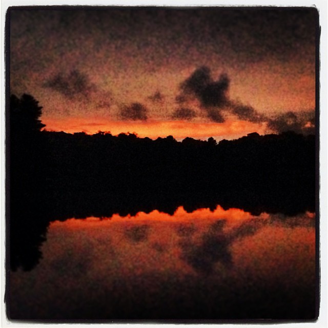
Goodbye sun, see'ya tomorrow #parrysound #cottage #starlake #sunset #fall
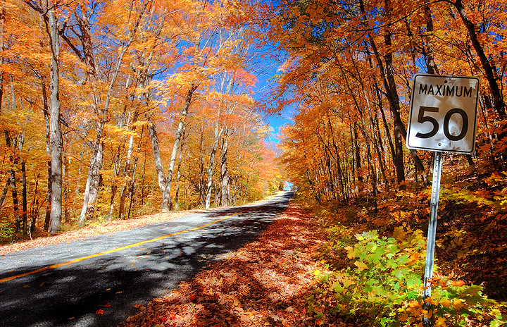
50 Max
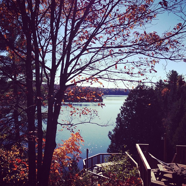
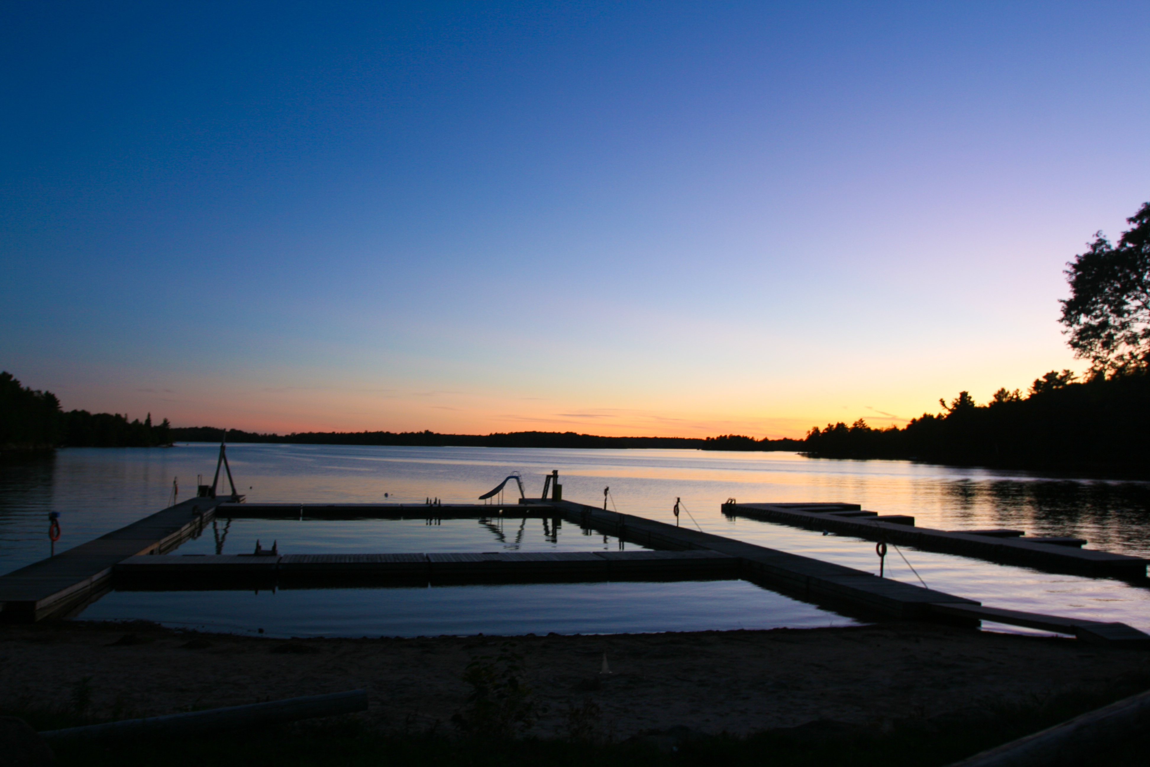
Lakeview #thanksgiving #cottage #cottageweekend #beautiful
End of Summer

DSCN3833 Seguin Trail 2005-05

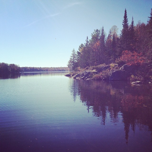
Sugar Lake
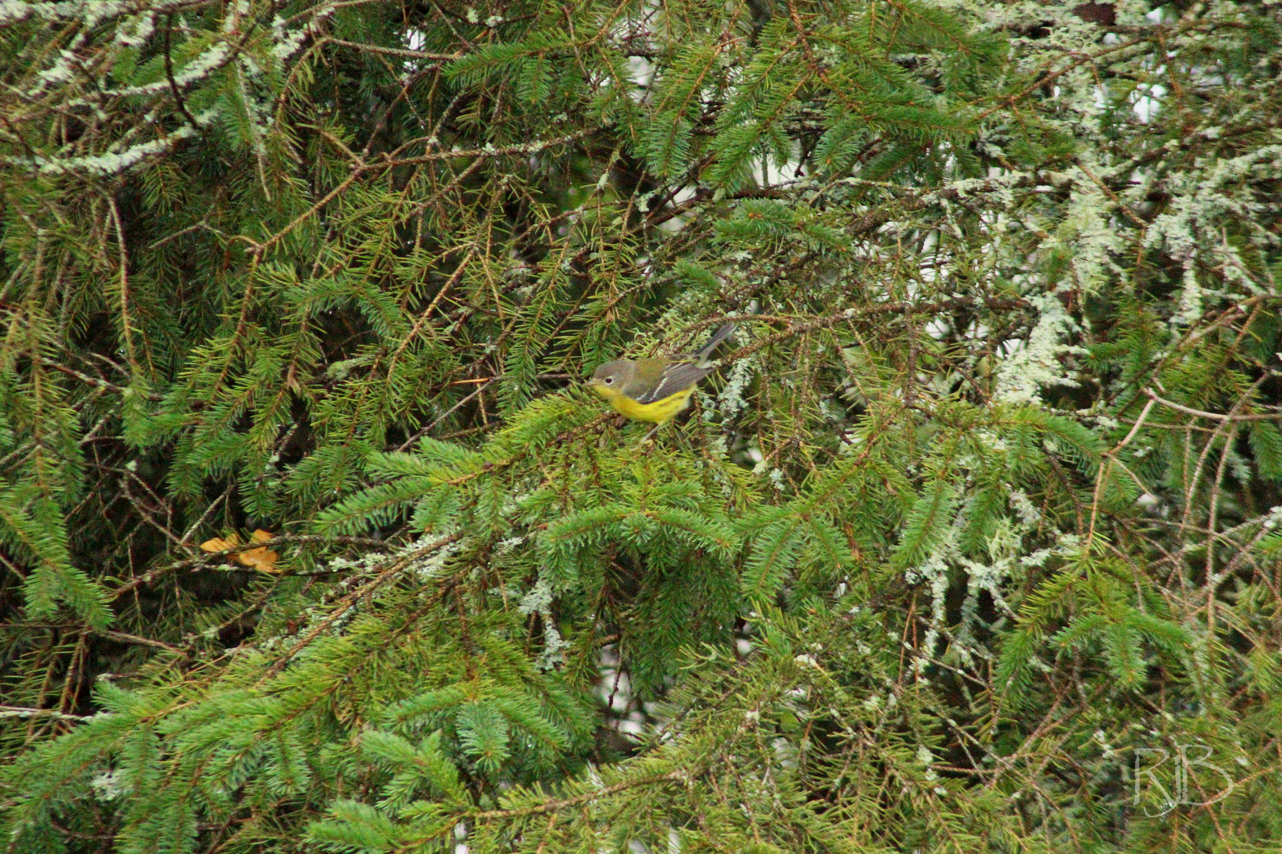
Magnolia Warbler
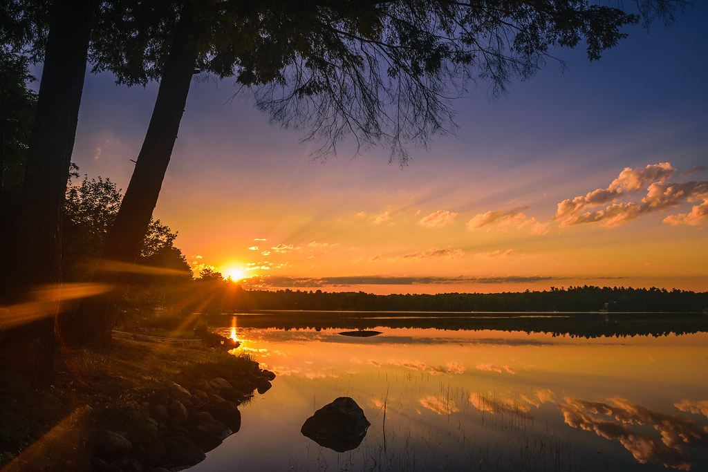
Sunrise at the cottage
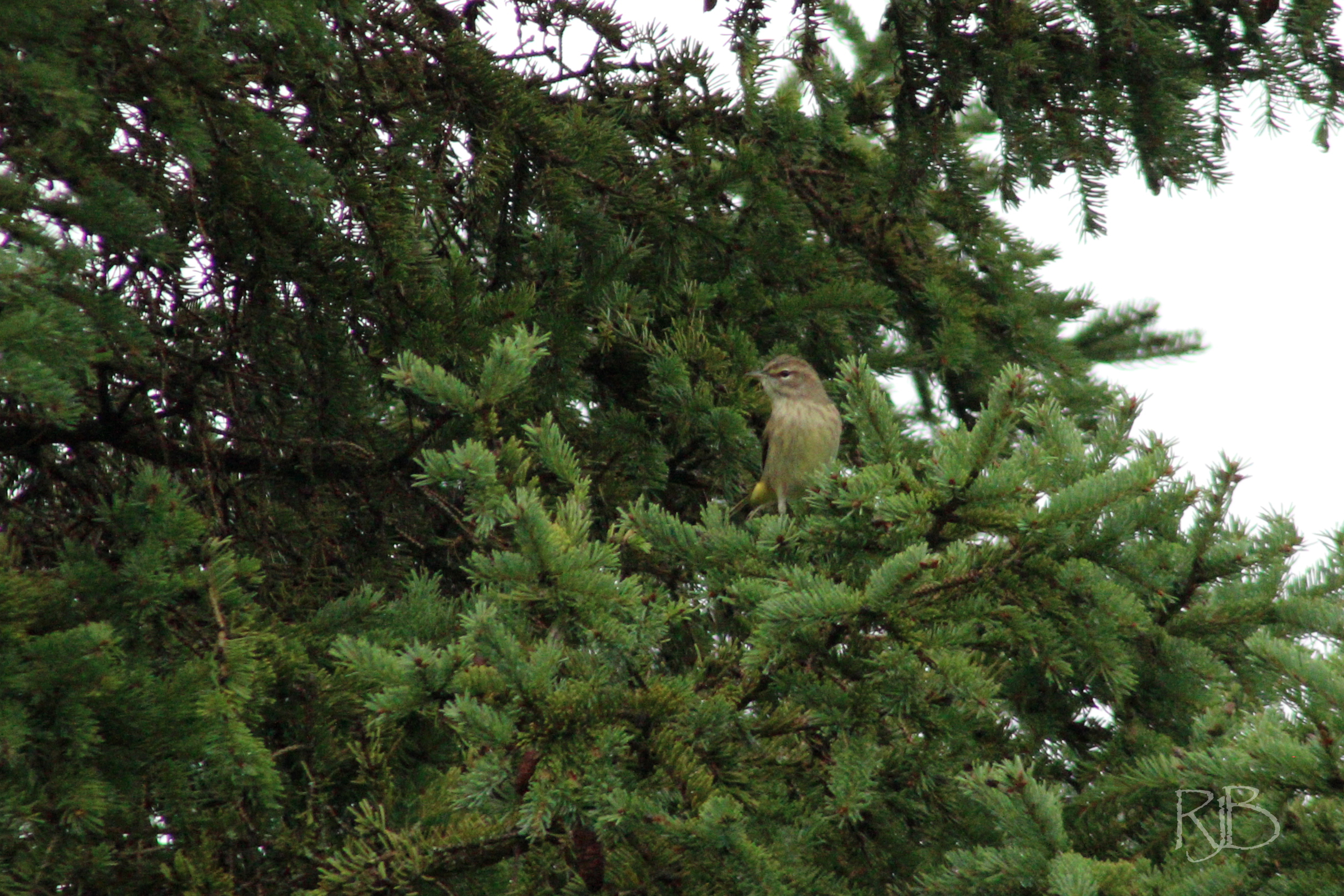
Palm Warbler
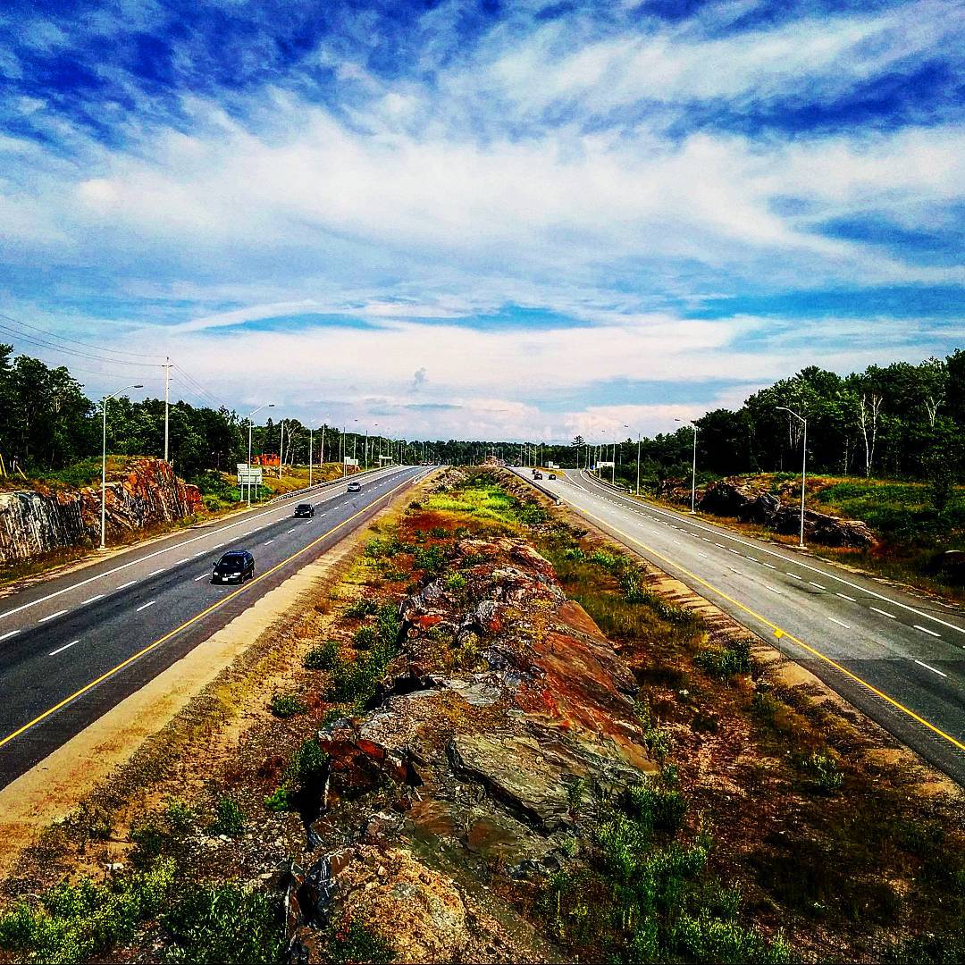
Hwy 400 #muskoka #north #ontario #yourstodiscover #ParrySound #northernontario
Topographic Map of Sugar Lake Rd, Parry Sound, ON P2A 2W9, Canada
Find elevation by address:

Places near Sugar Lake Rd, Parry Sound, ON P2A 2W9, Canada:
Orrville
6 Jordan Ln
Seguin
40 Lower Frys Rd
35 Marshall Rd
3 Museum Rd, Parry Sound, ON P2A 2W8, Canada
Orange Valley Rd, Magnetawan, ON P0A 1P0, Canada
Rosseau
Bear Lake
85 Burgess Rd
Muskoka Cottage Svc
306 Burgess Rd
P2a 2w7
Axe Lake Rd, Sprucedale, ON P0A 1Y0, Canada
Lake Joseph
77 Trout Lake Rd
Rosseau Lake Rd 3, Port Carling, ON P0B 1J0, Canada
15 Trillium Trail
1571 Hekkla Rd
281 Stewart Lake Rd
Recent Searches:
- Elevation of Congressional Dr, Stevensville, MD, USA
- Elevation of Bellview Rd, McLean, VA, USA
- Elevation of Stage Island Rd, Chatham, MA, USA
- Elevation of Shibuya Scramble Crossing, 21 Udagawacho, Shibuya City, Tokyo -, Japan
- Elevation of Jadagoniai, Kaunas District Municipality, Lithuania
- Elevation of Pagonija rock, Kranto 7-oji g. 8"N, Kaunas, Lithuania
- Elevation of Co Rd 87, Jamestown, CO, USA
- Elevation of Tenjo, Cundinamarca, Colombia
- Elevation of Côte-des-Neiges, Montreal, QC H4A 3J6, Canada
- Elevation of Bobcat Dr, Helena, MT, USA