Elevation of Sturla St, Lodi, CA, USA
Location: United States > California > San Joaquin County > Lodi >
Longitude: -121.28131
Latitude: 38.1286119
Elevation: 14m / 46feet
Barometric Pressure: 101KPa
Elevation Map:
Satellite Map:
Related Photos:
Heartbeat of America
Lightning Strike
Line-Up
Golden Girl
Hägar the Horrible Slept Here

Barely Working

Gutter Ball

Herald Blue
Forever in Bloom
Bow Tie

Crk In The Rear
Blue Fin
Choir Solo
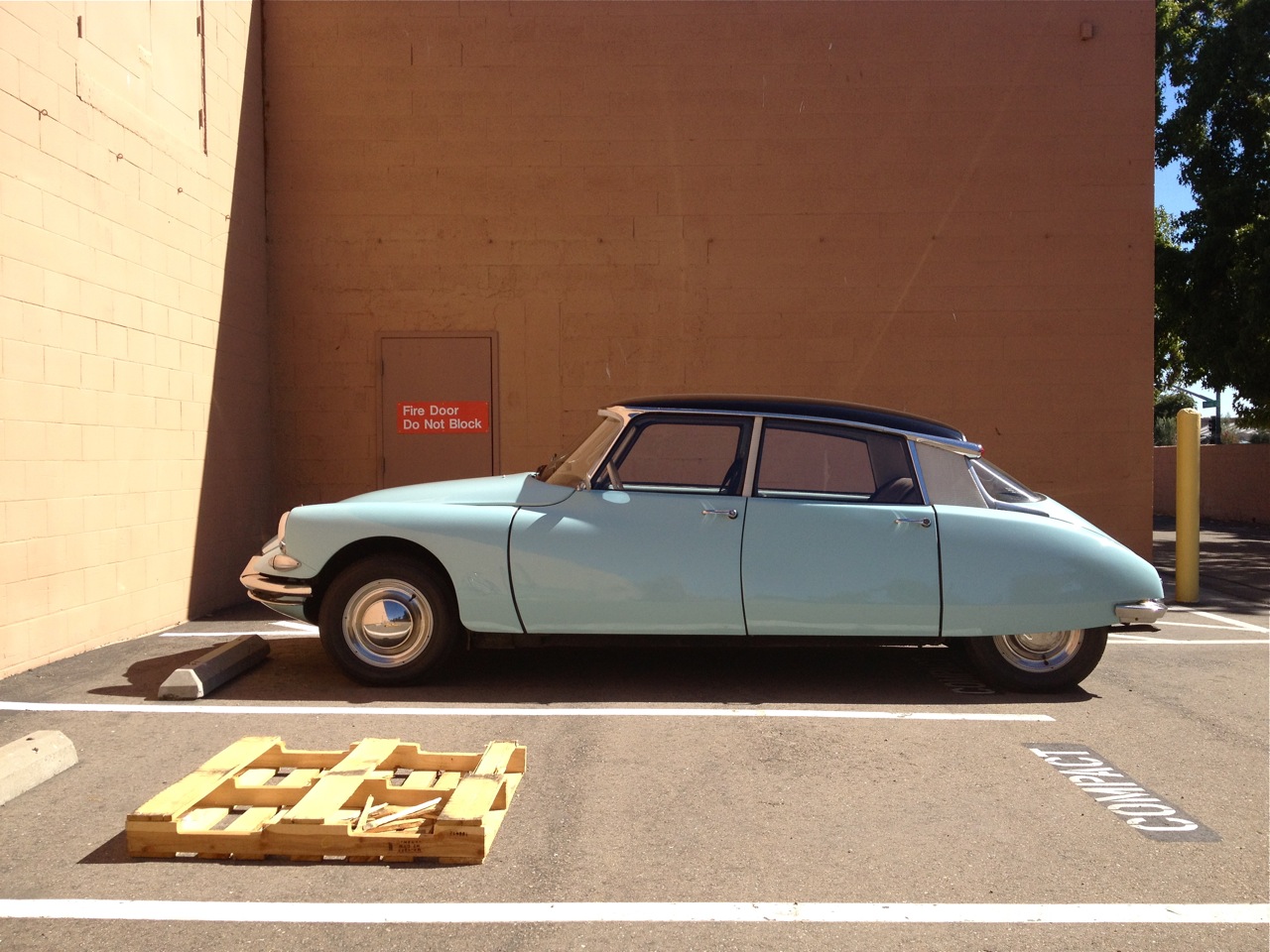
Dream Car
Sign Parking

Nocturnal Transitions
‾‾‾‾‾‾V‾‾‾‾‾‾

Wet Burn

More 2011 Fall Colors #4
Ghost of Fat Albert

Ringing 10 Pin
Long Gone Silver's

Moody Blues
Room With A View

[]-[]-[]
White Flame
Compact Parking

Grubb City

38 Special

Hidden Dragon

Easter Green
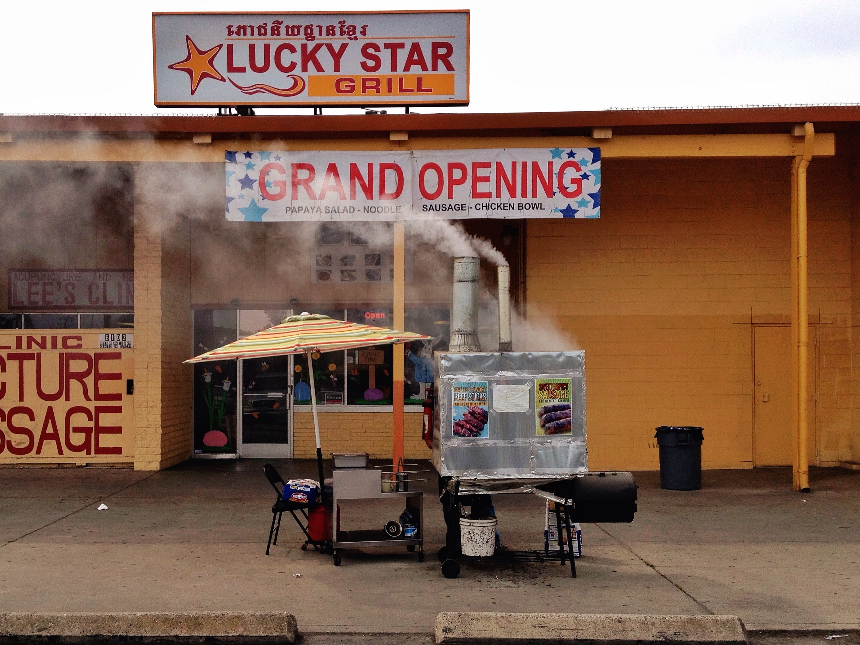
A Star is Born
Topographic Map of Sturla St, Lodi, CA, USA
Find elevation by address:

Places near Sturla St, Lodi, CA, USA:
607 Connie St
West Walnut Street
Lodi
719 Roper Ave
532 Louie Ave
320 Louie Ave
1824 S Sacramento St
645 Hale Rd
650 Hale Rd
141 E Harney Ln
CA-12, Lodi, CA, USA
E Harney Ln, Lodi, CA, USA
7871 Ca-12
N Furry Rd, Lodi, CA, USA
8031 Ca-12
8031 Ca-12
8031 E Victor Rd
E 8 Mile Rd, Stockton, CA, USA
East 8 Mile Road
4856 Mosher Dr
Recent Searches:
- Elevation of Bydgoszcz, Poland
- Elevation of Bydgoszcz, Poland
- Elevation of Calais Dr, Del Mar, CA, USA
- Elevation of Placer Mine Ln, West Jordan, UT, USA
- Elevation of E 63rd St, New York, NY, USA
- Elevation of Elk City, OK, USA
- Elevation of Erika Dr, Windsor, CA, USA
- Elevation of Village Ln, Finleyville, PA, USA
- Elevation of 24 Oakland Rd #, Scotland, ON N0E 1R0, Canada
- Elevation of Deep Gap Farm Rd E, Mill Spring, NC, USA