Elevation of Streets Ferry Rd, Vanceboro, NC, USA
Location: United States > North Carolina > Craven County > > Vanceboro >
Longitude: -77.141560
Latitude: 35.2507016
Elevation: 4m / 13feet
Barometric Pressure: 101KPa
Elevation Map:
Satellite Map:
Related Photos:

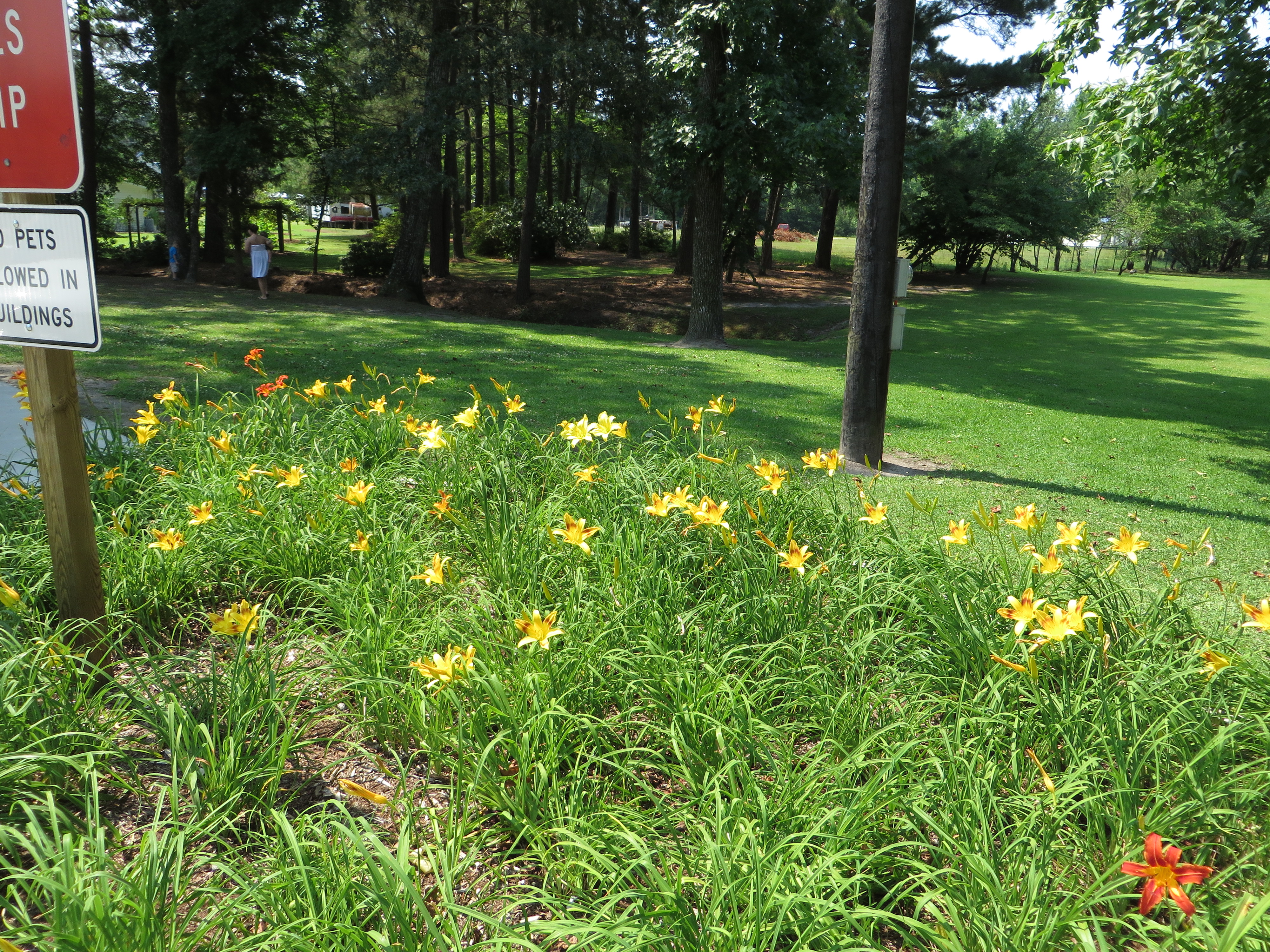
Neuse River Expedition Finished
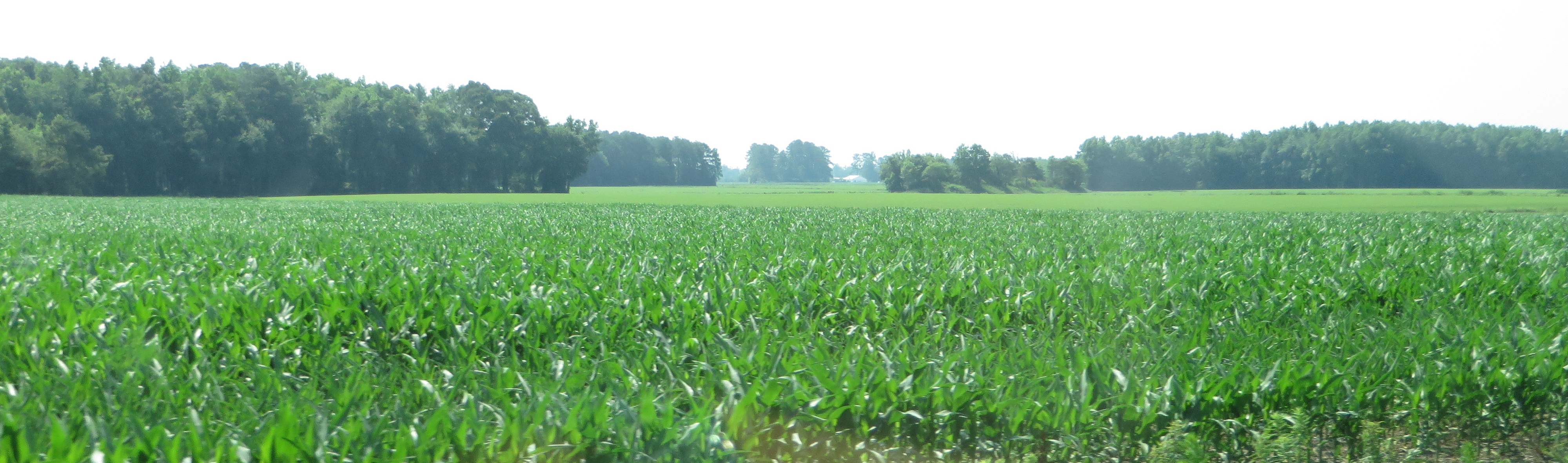
U.S. 17 Southbound, Vanceboro, North Carolina
U.S. 17 Southbound, Vanceboro, North Carolina
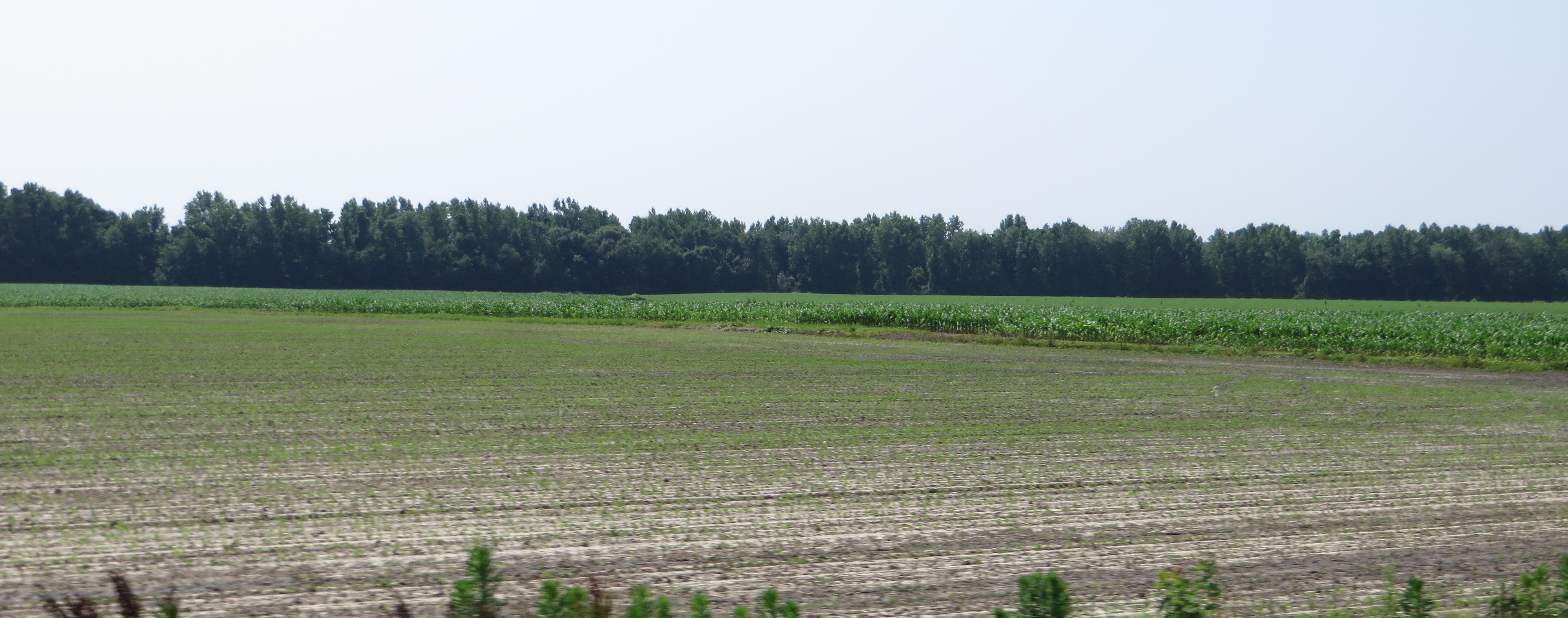
Rest Area, U.S. 17 Southbound, Ernul, North Carolina
Topographic Map of Streets Ferry Rd, Vanceboro, NC, USA
Find elevation by address:

Places near Streets Ferry Rd, Vanceboro, NC, USA:
1880 Streets Ferry Rd
170 Spring Meadows Rd
385 Cow Pen Landing Rd
Sterling Drive
Cow Pen Landing Road
102 Sasafras Dr
103 Ellis Ct
Cow Pen Landing
1050 Streets Ferry Rd
234 Stoney Branch Rd
228 Stoney Branch Rd
215 Stoney Branch Rd
1970 Piney Neck Rd
1785 Weyerhaeuser Rd
102 Hopewell Ct
Pate Road
Pate Road
210 Pate Rd
107 Stoney Branch Rd
770 Willis Neck Rd
Recent Searches:
- Elevation of Bydgoszcz, Poland
- Elevation of Bydgoszcz, Poland
- Elevation of Calais Dr, Del Mar, CA, USA
- Elevation of Placer Mine Ln, West Jordan, UT, USA
- Elevation of E 63rd St, New York, NY, USA
- Elevation of Elk City, OK, USA
- Elevation of Erika Dr, Windsor, CA, USA
- Elevation of Village Ln, Finleyville, PA, USA
- Elevation of 24 Oakland Rd #, Scotland, ON N0E 1R0, Canada
- Elevation of Deep Gap Farm Rd E, Mill Spring, NC, USA