Elevation of Strömsund Ö, Sweden
Location: Sweden > Jamtland County >
Longitude: 16.3821935
Latitude: 63.8844949
Elevation: 240m / 787feet
Barometric Pressure: 98KPa
Elevation Map:
Satellite Map:
Related Photos:

Strömsund, Jämtland
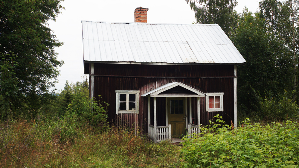
Backe, House

Re za

Axel kasselstrand

Mr M

Natalie Bianca

Rui chan
2014-12-27 11.42.03

Besökare Samtidigt
Topographic Map of Strömsund Ö, Sweden
Find elevation by address:

Places in Strömsund Ö, Sweden:
Places near Strömsund Ö, Sweden:
Mörtkullnäset
Mörtkullnäset, 80 Hoting, Sweden
RÖRSTRÖM, 80 Hoting, Sweden
Dorotea
Dorotea S
Sollefteå V
IMFORS, 40 Ramsele, Sweden
BERGBACKA 3, 99 Dorotea, Sweden
FORSMO, 37 Junsele, Sweden
Vallåsen
Strömsund
By
Varpsjö Latikbodarna, 60 Åsele, Sweden
Granberget
Östra GRANBERGET 15, 99 Dorotea, Sweden
Järvsand, 95 Strömsund, Sweden
Järvsand, 95 Strömsund, Sweden
SPORRSJÖNÄS, 93 Strömsund, Sweden
Järvsand
Sollefteå
Recent Searches:
- Elevation of Leguwa, Nepal
- Elevation of County Rd, Enterprise, AL, USA
- Elevation of Kolchuginsky District, Vladimir Oblast, Russia
- Elevation of Shustino, Vladimir Oblast, Russia
- Elevation of Lampiasi St, Sarasota, FL, USA
- Elevation of Elwyn Dr, Roanoke Rapids, NC, USA
- Elevation of Congressional Dr, Stevensville, MD, USA
- Elevation of Bellview Rd, McLean, VA, USA
- Elevation of Stage Island Rd, Chatham, MA, USA
- Elevation of Shibuya Scramble Crossing, 21 Udagawacho, Shibuya City, Tokyo -, Japan