Elevation map of Strömsund, Sweden
Location: Sweden > Jamtland County >
Longitude: 15.9260797
Latitude: 64.0339056
Elevation: 289m / 948feet
Barometric Pressure: 98KPa
Elevation Map:
Satellite Map:
Related Photos:

Floating ice

20130620-223615
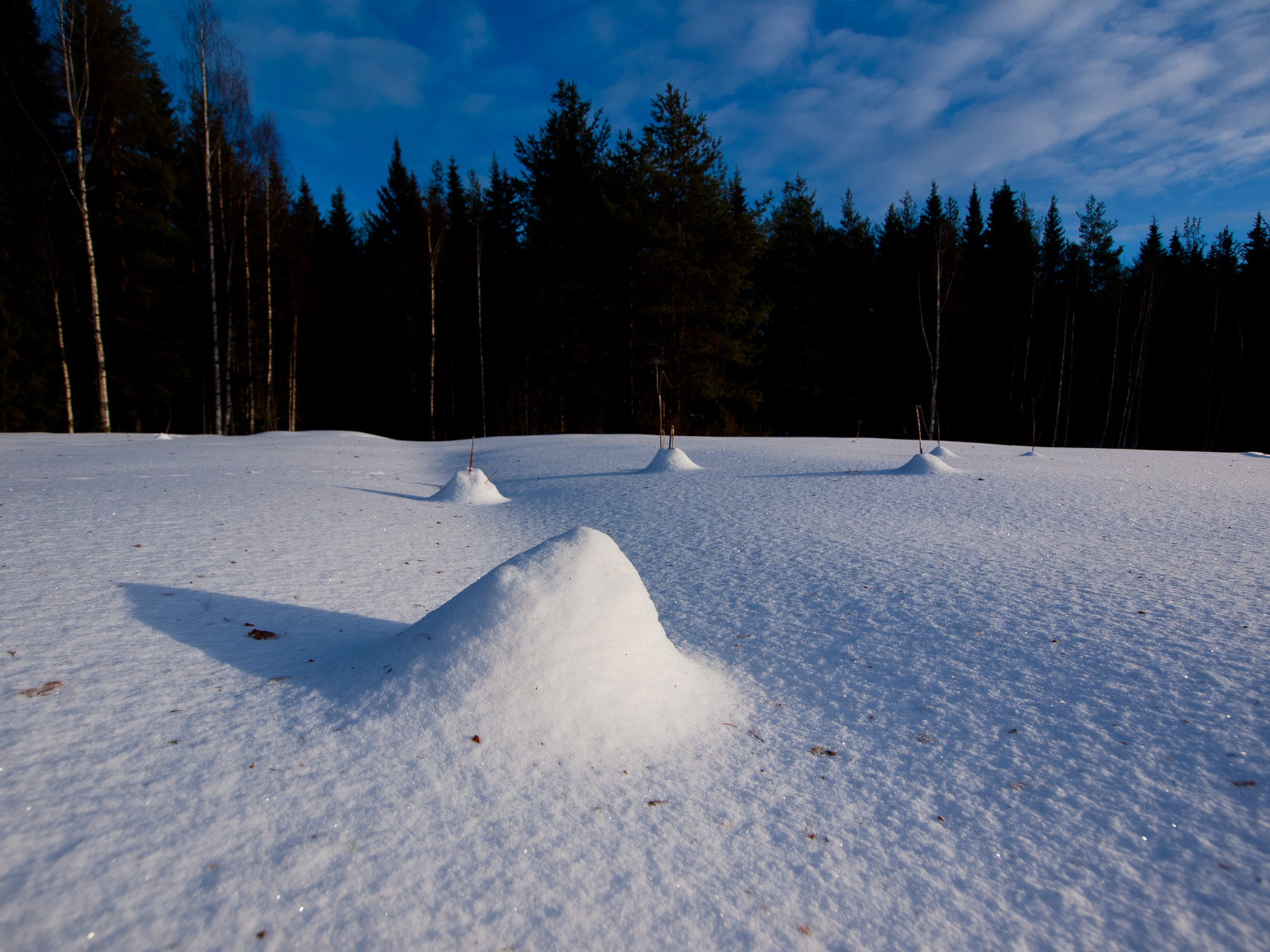
Snow Landscape
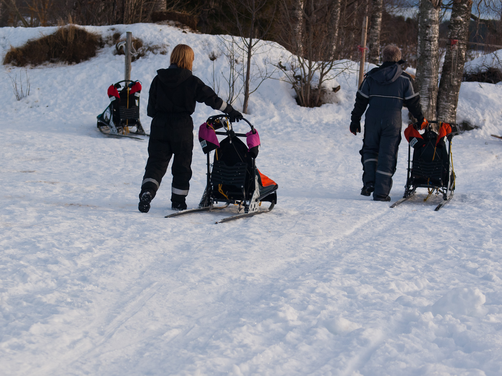
Getting the Sleds Ready

Lars sundqvist

Hanomag Rekord Diesel

Erik strängby

Natalie Bianca
Topographic Map of Strömsund, Sweden
Find elevation by address:

Places in Strömsund, Sweden:
Places near Strömsund, Sweden:
Järvsand, 95 Strömsund, Sweden
Järvsand, 95 Strömsund, Sweden
Järvsand
Mörtkullnäset, 80 Hoting, Sweden
Mörtkullnäset
Brattbäcken
Brattbäcken, 80 Hoting, Sweden
SPORRSJÖNÄS, 93 Strömsund, Sweden
RÖRSTRÖM, 80 Hoting, Sweden
Strömsund
Byvägen 14, 35 Strömsund, Sweden
Tullingsås
Tullingsås, 92 Strömsund, Sweden
Strömsund Ö
Vallåsen
Dorotea
Dorotea Nv
Skyttmon
Skyttmon, 76 Stugun, Sweden
Dorotea S
Recent Searches:
- Elevation of Lampiasi St, Sarasota, FL, USA
- Elevation of Elwyn Dr, Roanoke Rapids, NC, USA
- Elevation of Congressional Dr, Stevensville, MD, USA
- Elevation of Bellview Rd, McLean, VA, USA
- Elevation of Stage Island Rd, Chatham, MA, USA
- Elevation of Shibuya Scramble Crossing, 21 Udagawacho, Shibuya City, Tokyo -, Japan
- Elevation of Jadagoniai, Kaunas District Municipality, Lithuania
- Elevation of Pagonija rock, Kranto 7-oji g. 8"N, Kaunas, Lithuania
- Elevation of Co Rd 87, Jamestown, CO, USA
- Elevation of Tenjo, Cundinamarca, Colombia