Elevation of Stonewall Parallel Rd, Weston, CO, USA
Location: United States > Colorado > Costilla County > Weston >
Longitude: -105.00555
Latitude: 37.1720698
Elevation: 2576m / 8451feet
Barometric Pressure: 74KPa
Elevation Map:
Satellite Map:
Related Photos:

HDR Quakies
20080530_7957.jpg
Clear Day

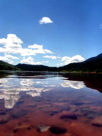
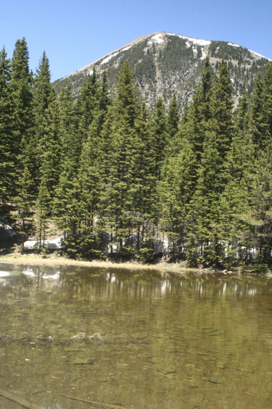
North Lake, Weston, Colorado, USA

Morning Aspens

Monument Lake 3
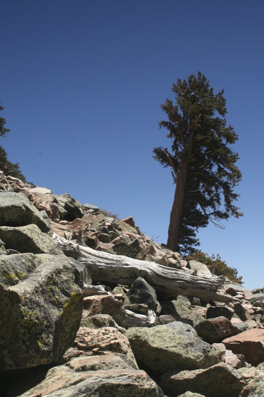
One of 500
20080530_7964.jpg
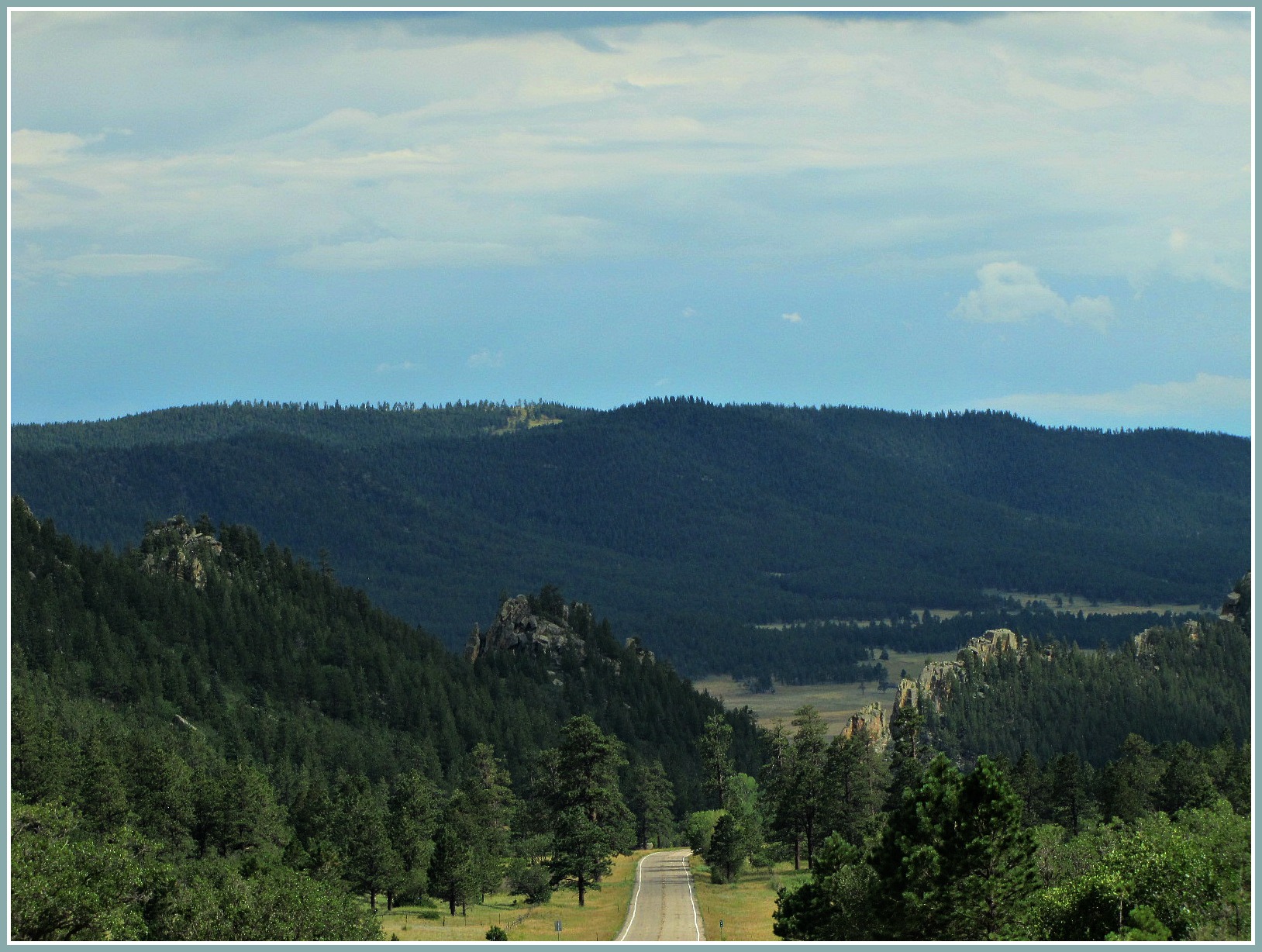
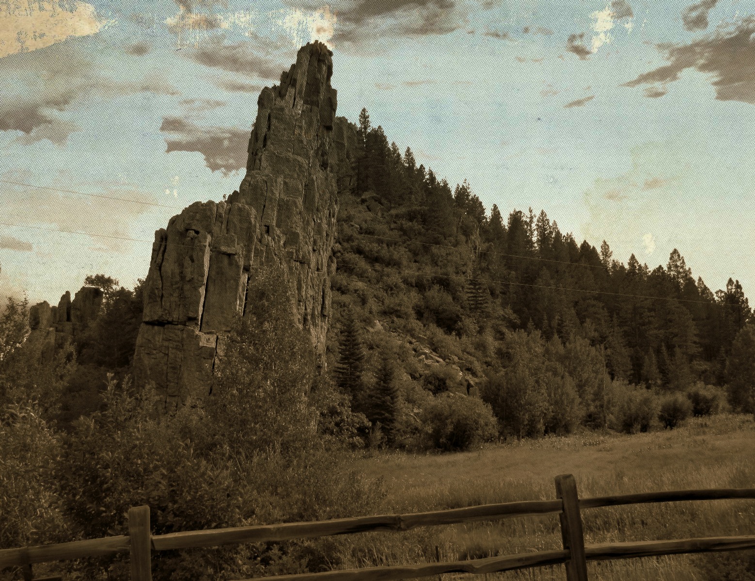
Road through the dikes

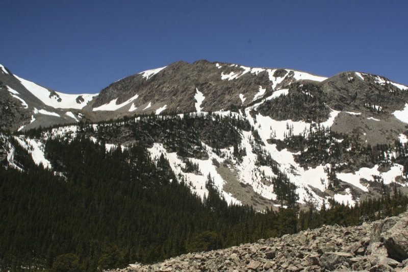
Spanish Peaks

20080530_7965.jpg
20080530_7977.jpg
20080531_8130.jpg
Topographic Map of Stonewall Parallel Rd, Weston, CO, USA
Find elevation by address:

Places near Stonewall Parallel Rd, Weston, CO, USA:
Stonewall Parallel
Stonewall
7600 Co-12
7555 Co-12
14483 W Valley Rd
Weston, CO, USA
County Road 21.6
14420 County Rd 21.6
6872 Co-12
Stonewall Gap
11100 Logging Canyon Rd
CO-12, Weston, CO, USA
County Rd 21.6, Weston, CO, USA
Parras Plaza
11200 Co-12
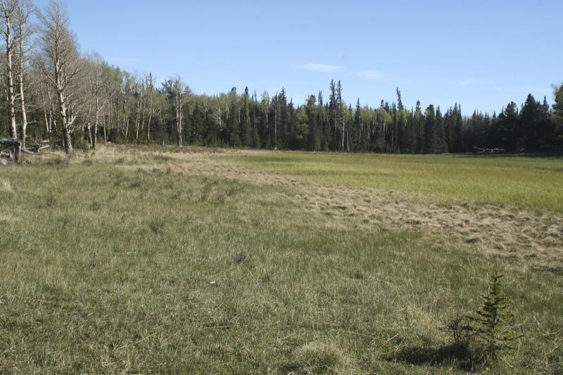
Monument Park
14400 Logging Canyon Rd
12402 Co-12
County Road 23.3
12030 County Rd 23.3
Recent Searches:
- Elevation of Congressional Dr, Stevensville, MD, USA
- Elevation of Bellview Rd, McLean, VA, USA
- Elevation of Stage Island Rd, Chatham, MA, USA
- Elevation of Shibuya Scramble Crossing, 21 Udagawacho, Shibuya City, Tokyo -, Japan
- Elevation of Jadagoniai, Kaunas District Municipality, Lithuania
- Elevation of Pagonija rock, Kranto 7-oji g. 8"N, Kaunas, Lithuania
- Elevation of Co Rd 87, Jamestown, CO, USA
- Elevation of Tenjo, Cundinamarca, Colombia
- Elevation of Côte-des-Neiges, Montreal, QC H4A 3J6, Canada
- Elevation of Bobcat Dr, Helena, MT, USA