Elevation of County Rd 23.3, Weston, CO, USA
Location: United States > Colorado > Costilla County > Weston >
Longitude: -104.92348
Latitude: 37.16334
Elevation: 2224m / 7297feet
Barometric Pressure: 77KPa
Elevation Map:
Satellite Map:
Related Photos:
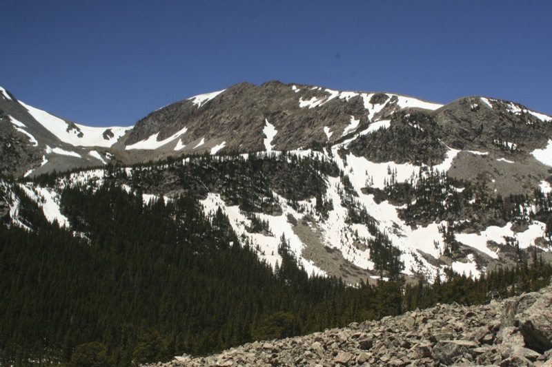
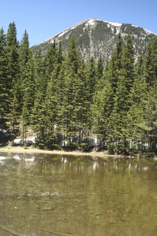
20080530_7957.jpg

Clear Day

HDR Quakies

Aspens 03

North Lake, Weston, Colorado, USA

Monument Lake 3
One of 500
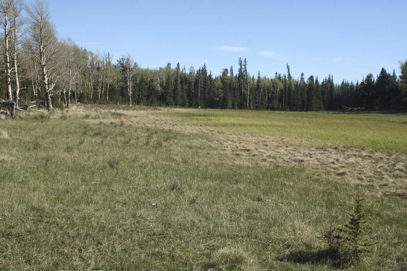
20080530_7964.jpg
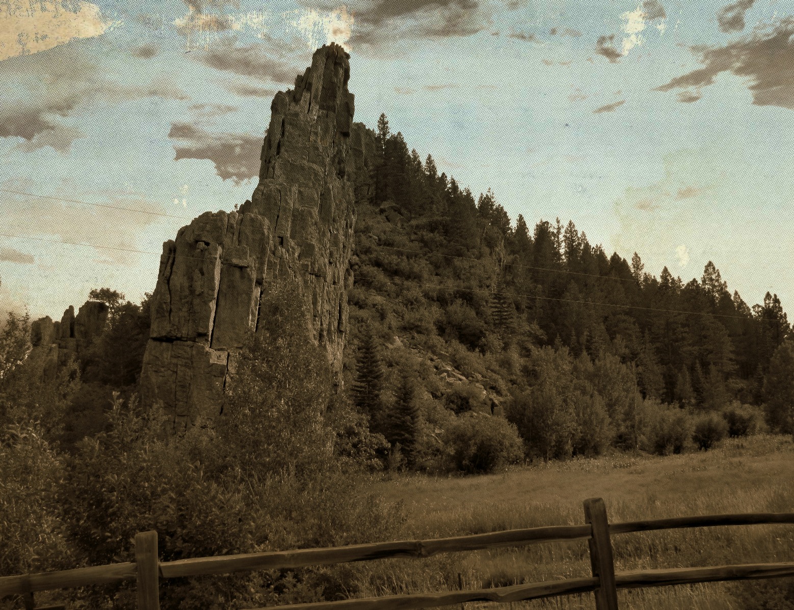
Road through the dikes

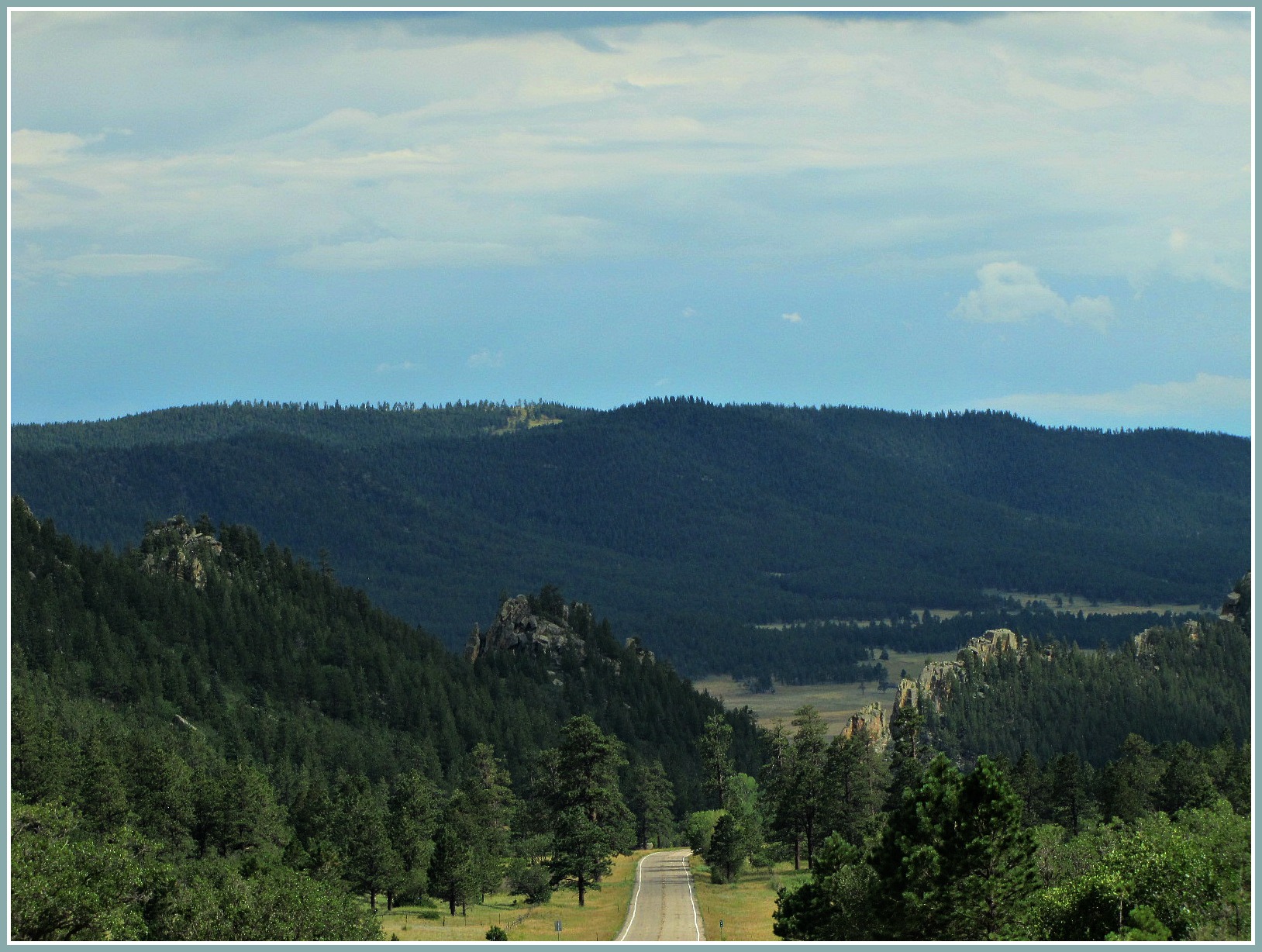
Spanish Peaks

20080530_7965.jpg
20080530_7977.jpg
20080531_8130.jpg
Topographic Map of County Rd 23.3, Weston, CO, USA
Find elevation by address:

Places near County Rd 23.3, Weston, CO, USA:
12402 Co-12
County Road 23.3
Zamara
CO-12, Weston, CO, USA
Rinconda Trail
Escondido Road
Spanish Peaks Trail
11200 Co-12
13121 Northridge Rd
Parras Plaza
County Rd 21.6, Weston, CO, USA
Timber Ridge Road
12240 Big Pine Ridge Rd
West Point Road
11100 Logging Canyon Rd
Weston, CO, USA
14400 Logging Canyon Rd
Wilderness Ridge Road
14420 County Rd 21.6
County Road 21.6
Recent Searches:
- Elevation of Tenjo, Cundinamarca, Colombia
- Elevation of Côte-des-Neiges, Montreal, QC H4A 3J6, Canada
- Elevation of Bobcat Dr, Helena, MT, USA
- Elevation of Zu den Ihlowbergen, Althüttendorf, Germany
- Elevation of Badaber, Peshawar, Khyber Pakhtunkhwa, Pakistan
- Elevation of SE Heron Loop, Lincoln City, OR, USA
- Elevation of Slanický ostrov, 01 Námestovo, Slovakia
- Elevation of Spaceport America, Co Rd A, Truth or Consequences, NM, USA
- Elevation of Warwick, RI, USA
- Elevation of Fern Rd, Whitmore, CA, USA